Items Similar to Detailed Antique Map of Britain, Wales and the Coast of Ireland


Want more images or videos?
Request additional images or videos from the seller
1 of 6
Detailed Antique Map of Britain, Wales and the Coast of Ireland
About the Item
Antique map titled 'Carta d'Inghilterra e del Principato di Galles'. Detailed map of Britain, Wales and the coast of Ireland with a list of counties. This map originates from 'Nuovo Atlante Di Geografia Universale (..)' published in Milan by Batelli & Fanfani, 1821.
- Dimensions:Height: 11.15 in (28.3 cm)Width: 18.04 in (45.8 cm)Depth: 0.02 in (0.5 mm)
- Materials and Techniques:
- Period:
- Date of Manufacture:1821
- Condition:Wide margins. General age-related toning. Minor wear, blank verso. Please study image carefully.
- Seller Location:Langweer, NL
- Reference Number:
About the Seller
5.0
Platinum Seller
These expertly vetted sellers are 1stDibs' most experienced sellers and are rated highest by our customers.
Established in 2009
1stDibs seller since 2017
1,940 sales on 1stDibs
Typical response time: <1 hour
- ShippingRetrieving quote...Ships From: Langweer, Netherlands
- Return PolicyA return for this item may be initiated within 14 days of delivery.
More From This SellerView All
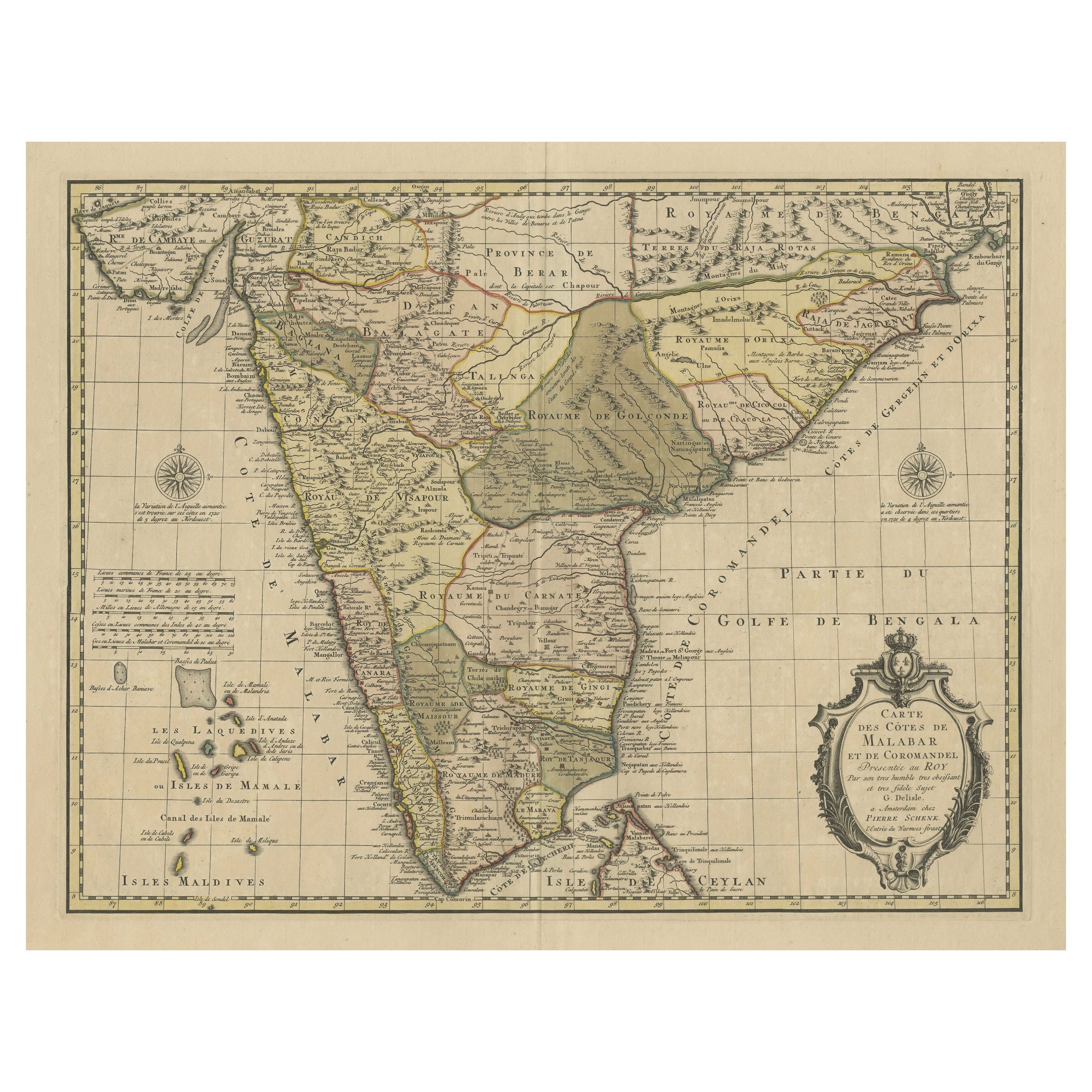
- Detailed Decorative Antique Map of the Coast of Malabar and Coromandel, IndiaLocated in Langweer, NLAntique map titled 'Carte des Côtes de Malabar et de Coromandel'. Finely engraved map of the southern part of India, first issued in 1723 by acclaimed French mapmaker Guillaume De L’...Category
Antique Mid-18th Century Maps
MaterialsPaper
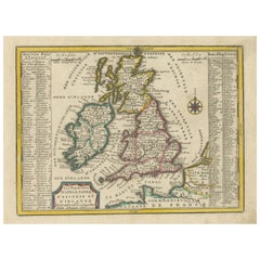
- Original Antique Map of England, Ireland, Scotland and WalesLocated in Langweer, NLAntique map titled 'Les Isles Britanniques, ou sont les Royaumes d Angleterre (..)'. Detailed map of England, Ireland, Scotland and Wales, with French coast and part of the Netherlan...Category
Antique Early 18th Century Maps
MaterialsPaper
- Original Detailed Antique Map of the East Coast of Africa, 1747Located in Langweer, NLAntique map titled 'Carte de la coste Orientale d'Afrique - Kaart van de Oostkust van Afrika'. Original antique map of the east coast of Africa. Reaches from Cape of Good Hope an...Category
Antique 1740s Maps
MaterialsPaper
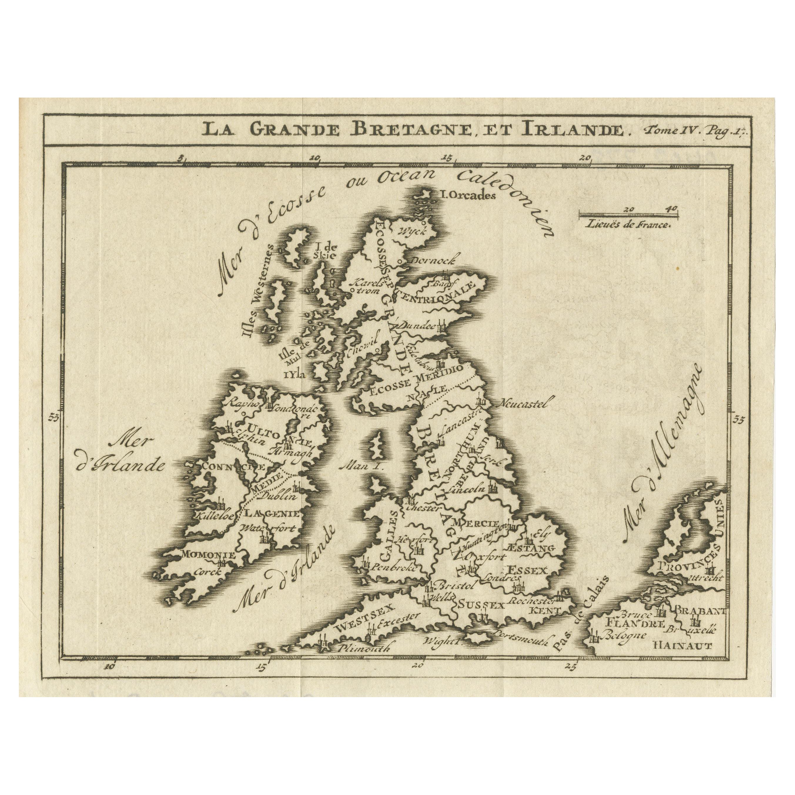
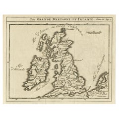
- Rare Small Antique Map of Great Britain and IrelandLocated in Langweer, NLAntique map titled 'La Grande Bretagne et Irlande'. Small antique map of Great Britain and Ireland. Source unknown, to be determined. Publ...Category
Antique Mid-18th Century Maps
MaterialsPaper
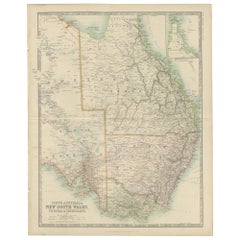
- Antique Detailed Map of New South Wales, Queensland & Victoria, Australia, 1865Located in Langweer, NLAntique map Australia titled 'South Australia, New South Wales, Victoria & Queensland'. Old map depicting South Australia including New South Wal...Category
Antique 19th Century Maps
MaterialsPaper
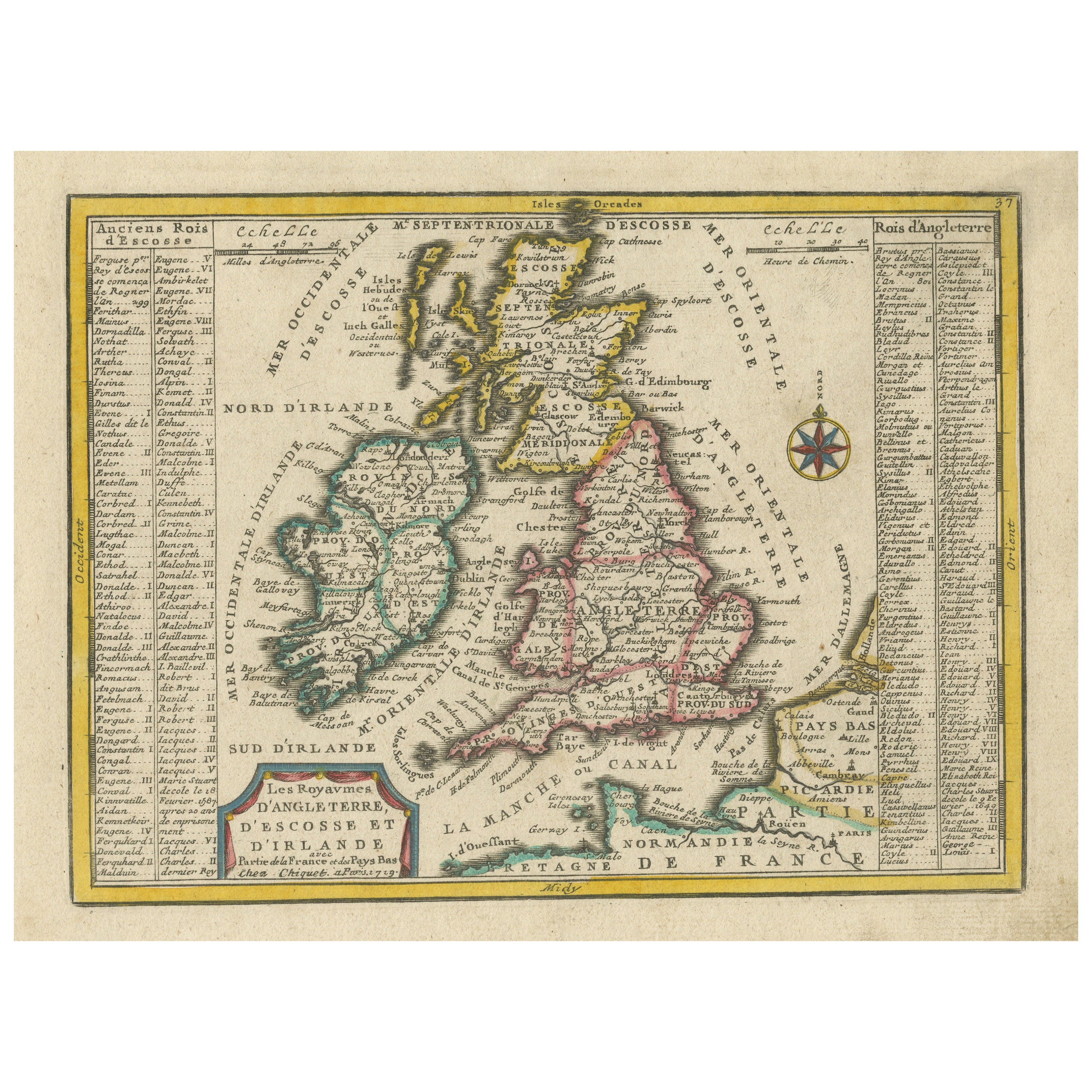
- Small Antique Map of England, Wales, Scotland and Ireland with Original ColoringLocated in Langweer, NLAntique map titled 'Les Royaumes d'Angleterre d'Escosse et d'Irlande (..)'. A lovely, small map of England, Wales, Scotland and Ireland with a portion of the coastline of France and ...Category
Antique Early 18th Century Maps
MaterialsPaper


You May Also Like
- Original Antique Map of Ireland- Tipperary and Waterford. C.1840Located in St Annes, LancashireGreat map of Tipperary and Waterford Steel engraving Drawn under the direction of A.Adlard Published by How and Parsons, C.1840 Unframed.Category
Antique 1840s English Maps
MaterialsPaper
- Original Antique Map of Ireland- Kerry. C.1840Located in St Annes, LancashireGreat map of Kerry Steel engraving Drawn under the direction of A.Adlard Published by How and Parsons, C.1840 Unframed.Category
Antique 1840s English Maps
MaterialsPaper
- England, Scotland & Ireland: A Hand Colored Map of Great Britain by TirionBy Isaak TirionLocated in Alamo, CAThis is a hand-colored double page copperplate map of Great Britain entitled "Nieuwe Kaart van de Eilanden van Groot Brittannien Behelzende de Kon...Category
Antique Mid-18th Century Dutch Maps
MaterialsPaper
- Large 17th Century Hand Colored Map of England and the British Isles by de WitBy Frederick de WitLocated in Alamo, CAA large hand colored 17th century map of England and the British Isles by Frederick de Wit entitled "Accuratissima Angliæ Regni et Walliæ Principatus", published in Amsterdam in 1680. It is a highly detailed map of England, Scotland, the Scottish Isles...Category
Antique Late 17th Century Dutch Maps
MaterialsPaper
- Map of the Republic of GenoaLocated in New York, NYFramed antique hand-coloured map of the Republic of Genoa including the duchies of Mantua, Modena, and Parma. Europe, late 18th century. Dimension: 25...Category
Antique Late 18th Century European Maps
- Antique Map of Principality of MonacoBy Antonio Vallardi EditoreLocated in Alessandria, PiemonteST/619 - "Old Geographical Atlas of Italy - Topographic map of ex-Principality of Monaco" - ediz Vallardi - Milano - A somewhat special edition ---Category
Antique Late 19th Century Italian Other Prints
MaterialsPaper


Recently Viewed
View AllMore Ways To Browse
1681 Moses Pitt
Antique Cabbage Cutter
Antique Chesapeake Bay Map
Antique Handcrafted Model Sailboat
Antique Map Of Chesapeake Bay
Cartier 1730
Devonia Antique
Eso Antique Map
Eso Antique Maps
Formosa Vintage Map
M S Merian
Union Pacific Map
Ian Maguire
Map Scandinavia
Pakistan Antique Map
Antique Map Iceland
Antique Map Of Iceland
Antique Map Scandinavia