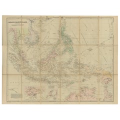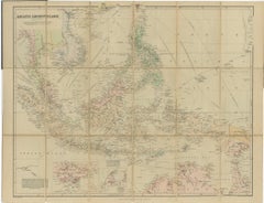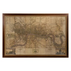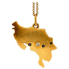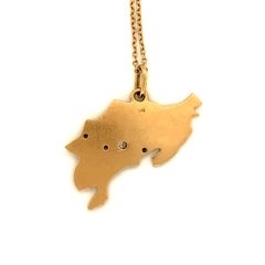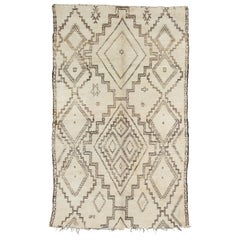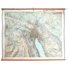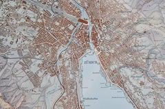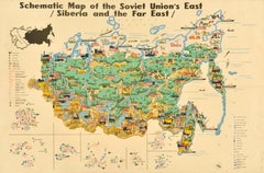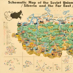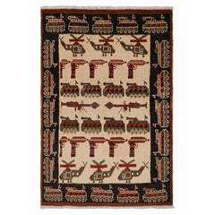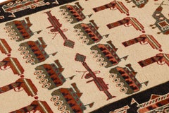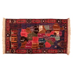
Vintage Beluch Tribal Rug depicting the Map of Afghanistan
Located in Milan, IT
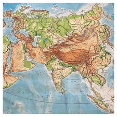
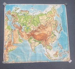
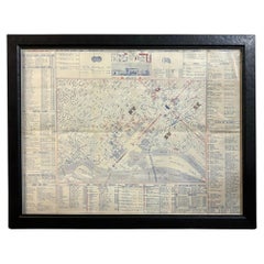
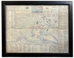
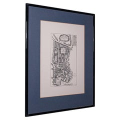
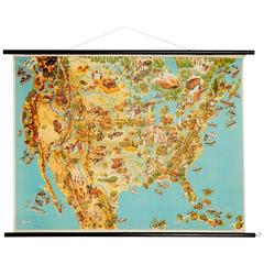
A curious pictorial rug, woven by the Afghani Beluch people, illustrating a map of Afghanistan divided into regions at around the time of the Gulf war.
Category
1990s Afghan Other The Vintage Map
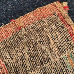
Materials
Wool