Items Similar to French School Map of Uk, Double-Sided

Want more images or videos?
Request additional images or videos from the seller
1 of 7
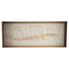
French School Map of Uk, Double-Sided
About the Item
Map of the UK in french made for schools from the 20th century.
- Dimensions:Height: 46.66 in (118.5 cm)Width: 38.98 in (99 cm)Depth: 0.79 in (2 cm)
- Materials and Techniques:
- Period:
- Date of Manufacture:Unknown
- Condition:Wear consistent with age and use. All Kingham Decorative items: the very bare minimum of restoration work may have been carried out. This is to ensure we retain the age and history of each piece, preserving the essence of originality and integrity.
- Seller Location:Alton, GB
- Reference Number:
About the Seller
No Reviews Yet
Vetted Seller
These experienced sellers undergo a comprehensive evaluation by our team of in-house experts.
Established in 2020
1stDibs seller since 2022
13 sales on 1stDibs
Typical response time: 16 hours
- ShippingRetrieving quote...Ships From: Alton, United Kingdom
- Return PolicyA return for this item may be initiated within 14 days of delivery.
More From This SellerView All
- Gilt Framed Vintage Wine Regions of France MapLocated in Alton, GBFramed French wine region map 1973. The print has been removed to clean the glass, the frame has minor damage in places but nothing that detracts from ...Category
Vintage 1970s French Posters
MaterialsPaper
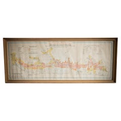
- Illustrated Map of London from ExhibtionLocated in Alton, GBDetailed illustrated map of London from the great exhibition of industry of all nations 1851.Category
Antique 19th Century Maps
MaterialsPaper
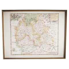
- Saxtons Map of Oxtons, Bucks, BerkLocated in Alton, GBFramed Saxton’s Map of Oxfordshire, Buckinghamshire, and Berkshire, 1574. Originally published as one of thirty-three maps in Christopher Saxton’s (c.1542- c.1610) Atlas of the Count...Category
Antique 16th Century British Maps
MaterialsPaper
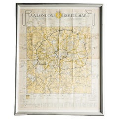
- London AA MapLocated in Alton, GBLondon AA map.Category
20th Century Maps
MaterialsPaper
- Gilt Framed Vintage French Cote De Beaune Wine Region Poster 1972Located in Alton, GBFramed Cote De Beaune region wine map from 1972. The print has been removed to clean the glass, the frame has minor damage in places but nothing that de...Category
Vintage 1970s French Posters
MaterialsPaper
- Gilt Framed Vintage French La Cote De Nuits Wine Region Poster 1972Located in Alton, GBFramed La Cote De Nuits region wine map from 1972. The print has been removed to clean the glass, the frame has minor damage in places but nothing that detracts from its beauty, if a...Category
Vintage 1970s French Posters
MaterialsPaper


You May Also Like
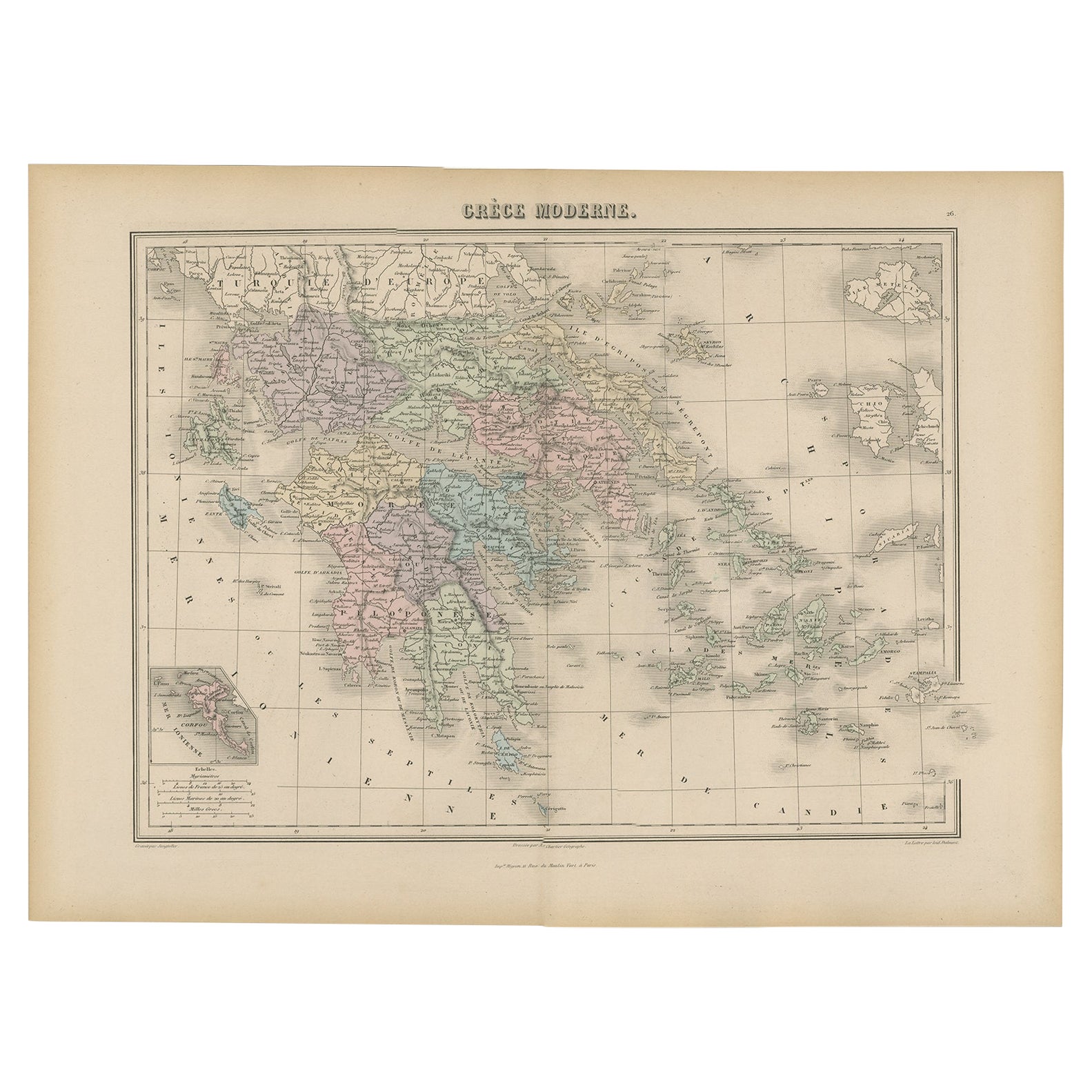
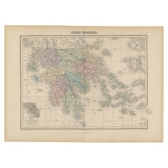
- Antique Map of Greece from an Old French School Atlas, 1880Located in Langweer, NLAntique map titled 'Grèce Moderne '. Old map of Greece and surroundings. This map originates from 'Géographie Universelle Atlas-Migeon' by J. Migeon. Artists and Engravers: Published...Category
Antique 19th Century Maps
MaterialsPaper
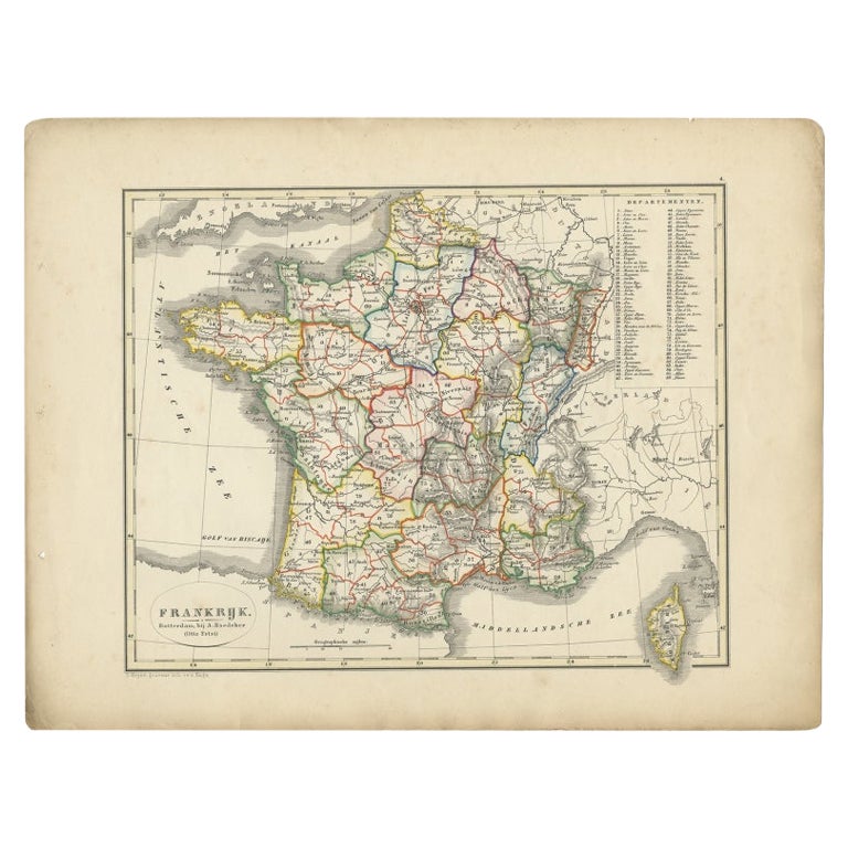
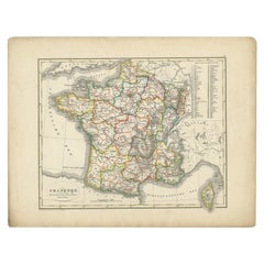
- Antique Map of France from an Old Dutch School Atlas, 1852Located in Langweer, NLAntique map titled 'Frankrijk'. Map of France. This map originates from 'School-Atlas van alle deelen der Aarde' by Otto Petri. Artists and Engravers: Published by A. Baedeker (Otto ...Category
Antique 19th Century Maps
MaterialsPaper
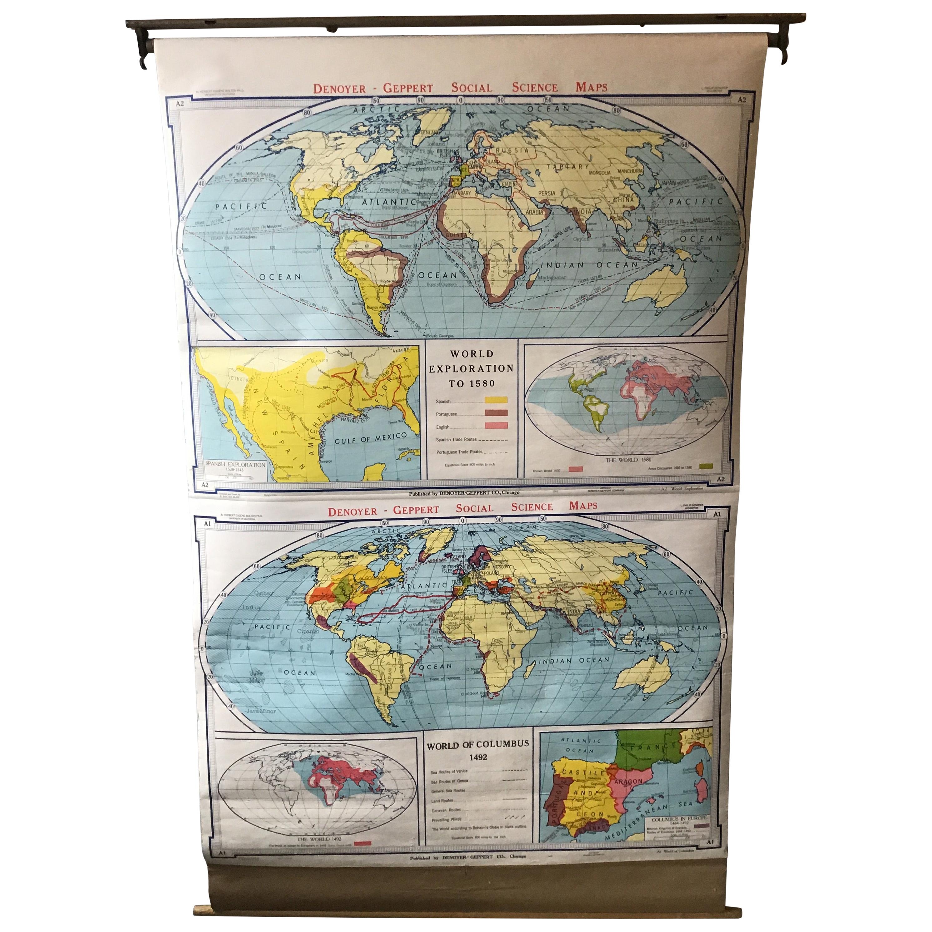
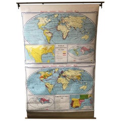
- 1967 World Exploration School MapLocated in Tarrytown, NYPull down world exploration map from 1967.Category
Vintage 1960s Maps
MaterialsPaper
- Antique Map of Asia from a German School Atlas, c.1870Located in Langweer, NLAntique map titled 'Asien'. Old map of the Asian continent. This map originates from 'H. Kiepert's Kleiner Atlas der Neueren Geographie für Schule und Haus'. Artists and Engravers:...Category
Antique 19th Century Maps
MaterialsPaper
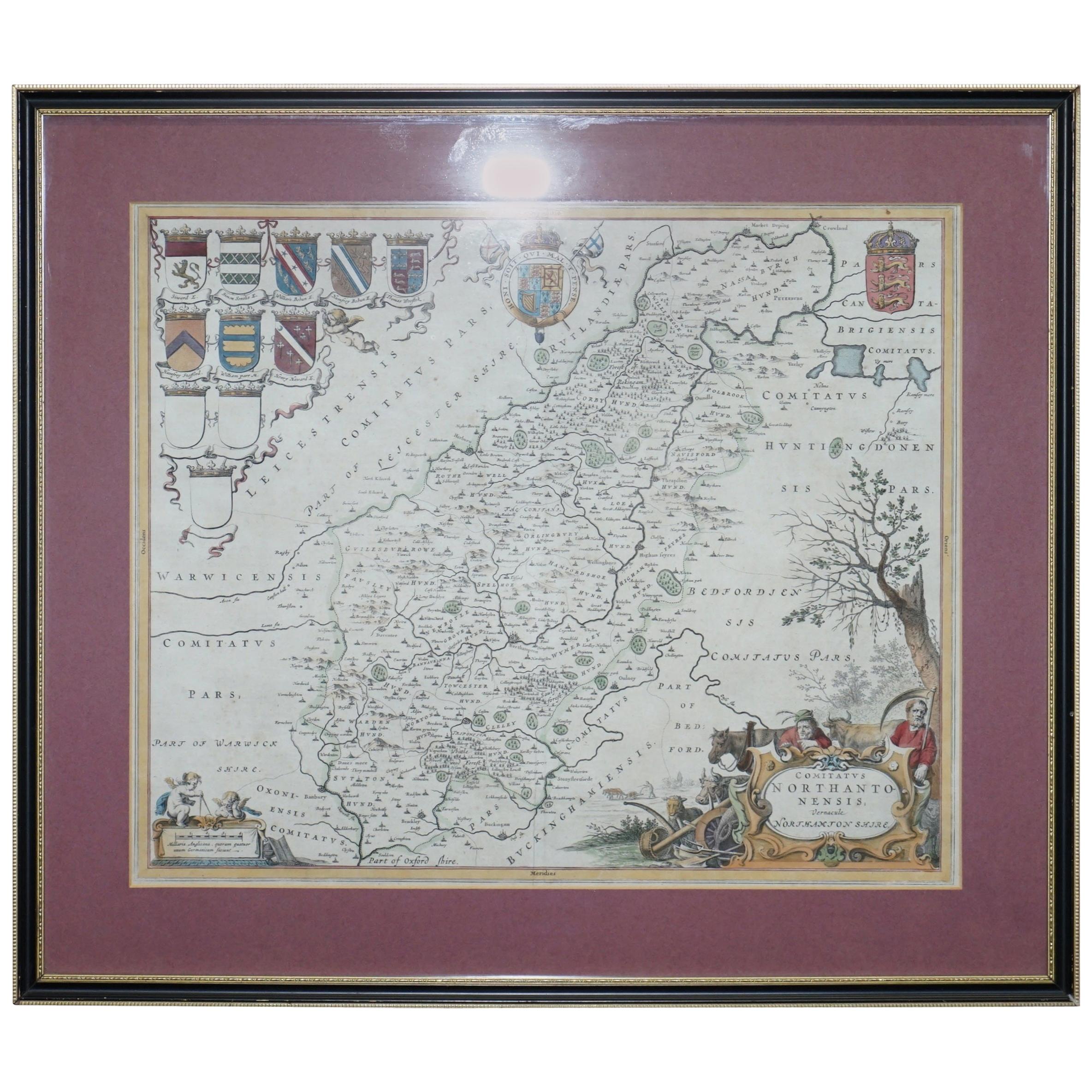
- Double Sided Northamptonshire 1645 Hand Colored Antique Print Map Rare FindLocated in GBWe are delighted to this lovely antique Atlas page map of Northamptonshire printed in 1645 Amsterdam Staffordiensis Comitatvs Vulgo I have three of th...Category
Antique Early 1800s English Georgian Maps
MaterialsPaper
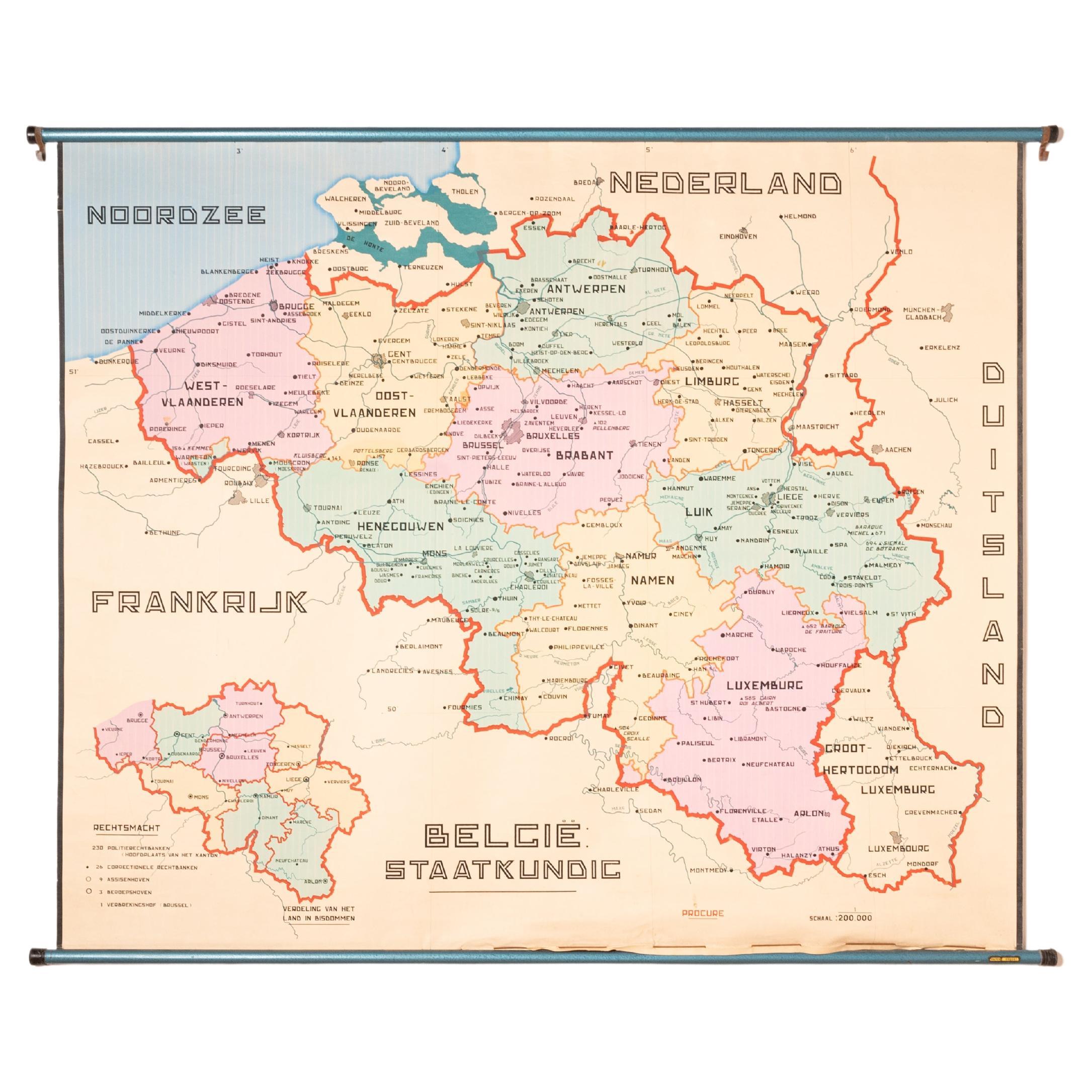
- XL Old School Map of Belgium 'Printed by Procure', 1950sLocated in Oostende, BEXL Old school map of Belgium (Printed by Procure). Presumably from around 1950-1960.Category
Vintage 1950s Belgian Mid-Century Modern Maps
MaterialsMetal


Recently Viewed
View AllMore Ways To Browse
Vintage French Uk
French Vintage Furniture Uk
Vintage Collectables Uk
Vintage Collectibles Uk
French School Maps Vintage
Uk Map
French School Map
School Map Of France
Hand Painted Antique Map
Antique Furniture Depot
Antique Road Maps
Antique Road Map
17th Century Scottish
Antique Maps Of Mexico
Nautical Map
Nautical Maps
Antique Style Atlas
Antique Map Of Mexico