Items Similar to Gilt Framed Vintage Wine Regions of France Map

Want more images or videos?
Request additional images or videos from the seller
1 of 5
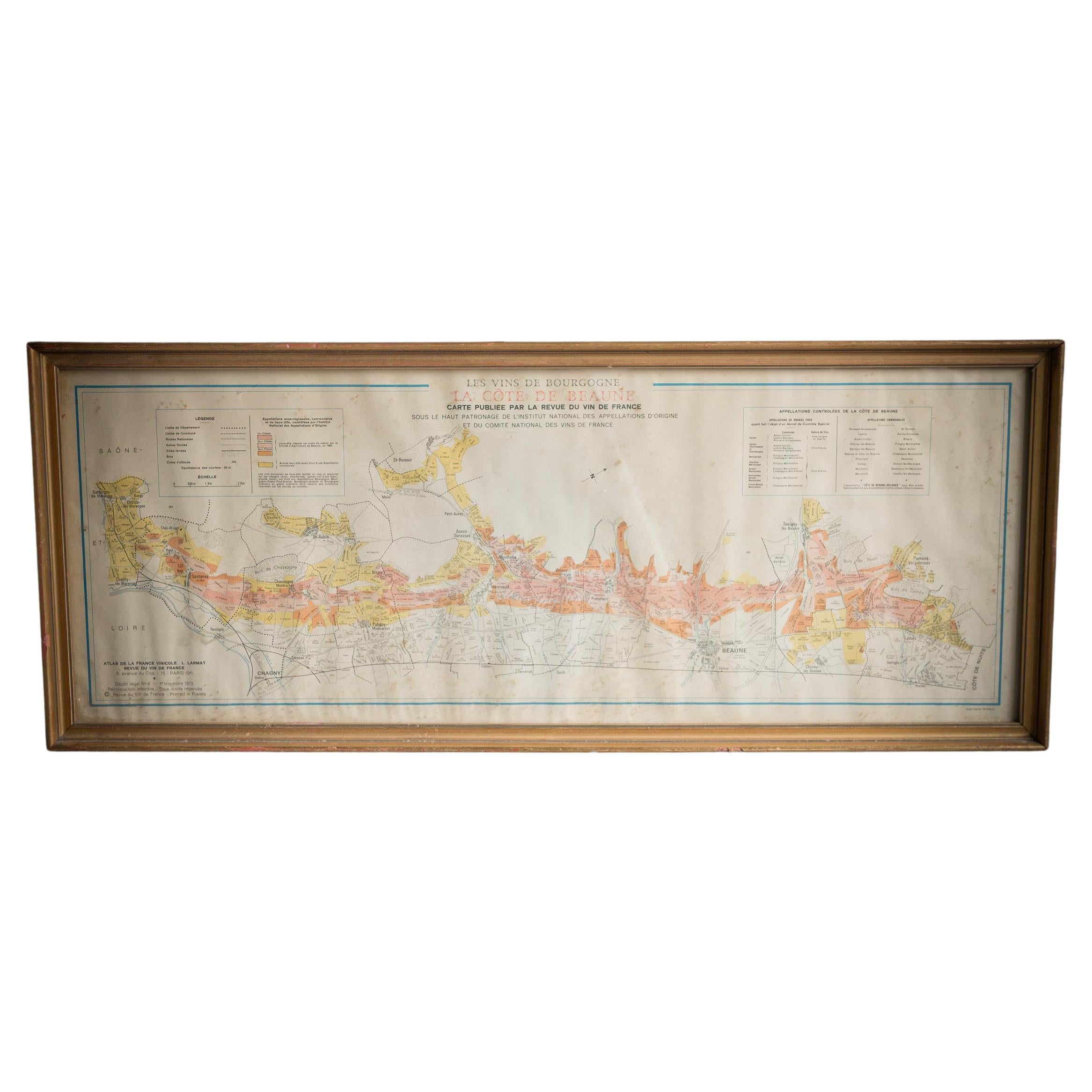
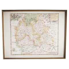
Gilt Framed Vintage Wine Regions of France Map
About the Item
Framed French wine region map 1973. The print has been removed to clean the glass, the frame has minor damage in places but nothing that detracts from its beauty, if anything this 'wear and tear' only adds to the provenance and integrity.
The prints media has aged from an off white to a gorgeous honey patina, there are some signs of moisture ingress but we believe this is all part of their character. The frames are profile moulded gilt and Minimalist in width and appearance.
- Dimensions:Height: 26.78 in (68 cm)Width: 35.44 in (90 cm)Depth: 1.19 in (3 cm)
- Materials and Techniques:Paper,Other
- Place of Origin:
- Period:
- Date of Manufacture:1973
- Condition:Wear consistent with age and use. Minor losses. Minor structural damages. Minor fading. With all our items for sale the very bare minimum of restoration work has been carried out to retain the age and history of each piece preserving the essence of originality and integrity.
- Seller Location:Alton, GB
- Reference Number:
About the Seller
No Reviews Yet
Vetted Seller
These experienced sellers undergo a comprehensive evaluation by our team of in-house experts.
Established in 2020
1stDibs seller since 2022
13 sales on 1stDibs
Typical response time: 16 hours
- ShippingRetrieving quote...Ships From: Alton, United Kingdom
- Return PolicyA return for this item may be initiated within 14 days of delivery.
More From This SellerView All
- Gilt Framed Vintage French Cote De Beaune Wine Region Poster 1972Located in Alton, GBFramed Cote De Beaune region wine map from 1972. The print has been removed to clean the glass, the frame has minor damage in places but nothing that de...Category
Vintage 1970s French Posters
MaterialsPaper
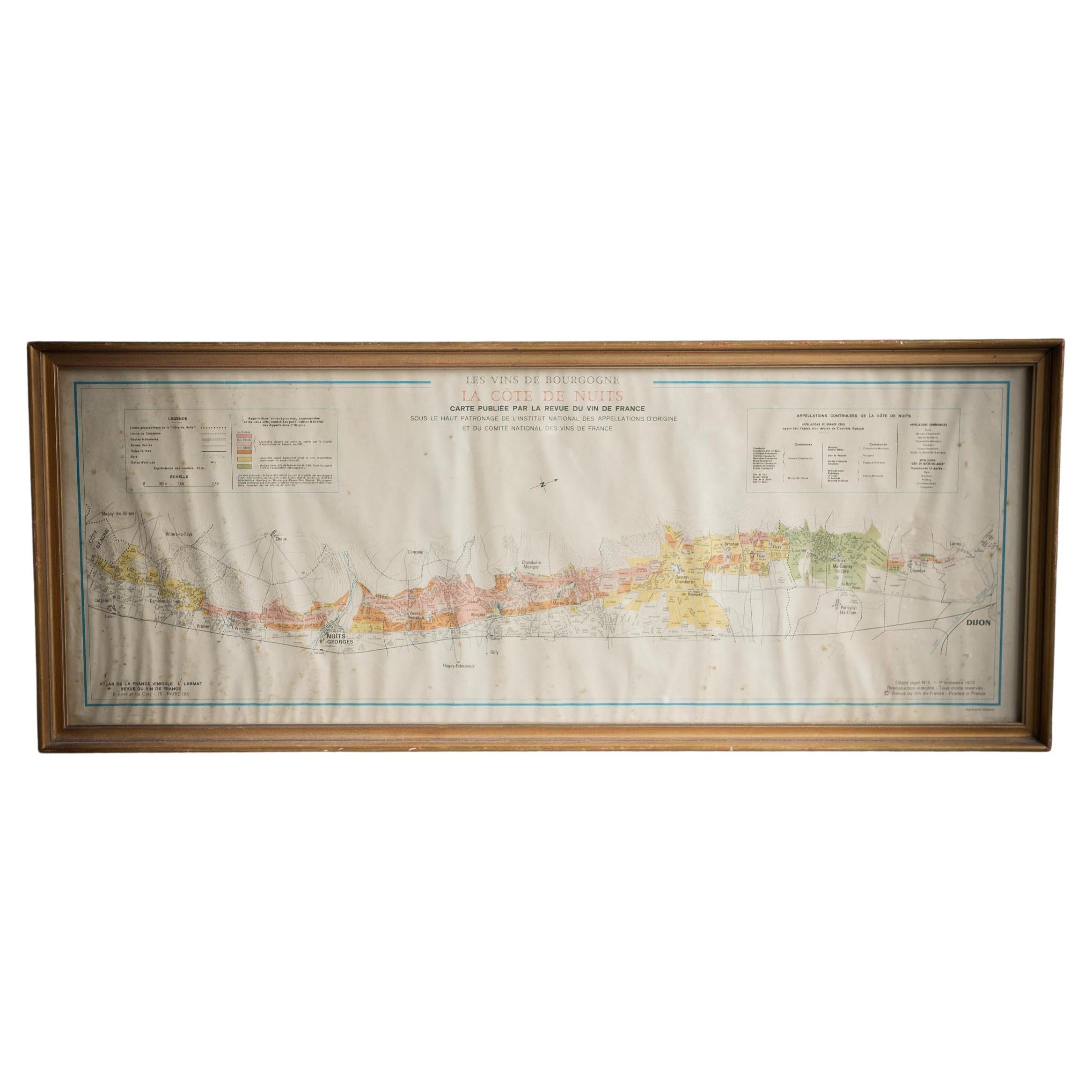
- Gilt Framed Vintage French La Cote De Nuits Wine Region Poster 1972Located in Alton, GBFramed La Cote De Nuits region wine map from 1972. The print has been removed to clean the glass, the frame has minor damage in places but nothing that detracts from its beauty, if a...Category
Vintage 1970s French Posters
MaterialsPaper
- French School Map of Uk, Double-SidedLocated in Alton, GBMap of the UK in french made for schools from the 20th century.Category
20th Century Maps
MaterialsPaper
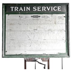
- Alton Train Services SignLocated in Alton, GBTrain service timetable sign originally from Alton train station for the year 1962. Paper timetable mounted on a wooden green frame.Category
20th Century Posters
MaterialsWood, Paper
- Illustrated Map of London from ExhibtionLocated in Alton, GBDetailed illustrated map of London from the great exhibition of industry of all nations 1851.Category
Antique 19th Century Maps
MaterialsPaper
- Saxtons Map of Oxtons, Bucks, BerkLocated in Alton, GBFramed Saxton’s Map of Oxfordshire, Buckinghamshire, and Berkshire, 1574. Originally published as one of thirty-three maps in Christopher Saxton’s (c.1542- c.1610) Atlas of the Count...Category
Antique 16th Century British Maps
MaterialsPaper

You May Also Like
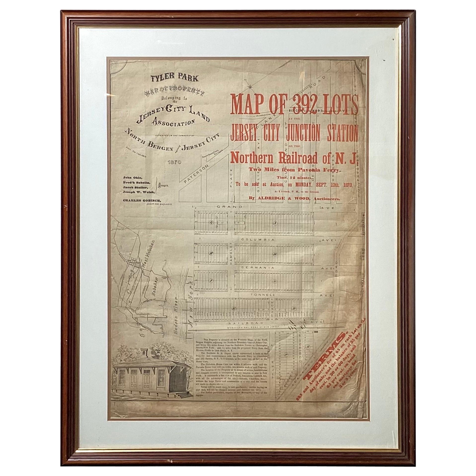
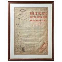
- Framed Original Land Map Survey of Tyler Park, Jersey City RailroadLocated in Lambertville, NJA framed and matted historical map of Tyler park jersey city New Jersey Railroad. The paper on canvas in later appropriate frame. Good condition with some creasing and age discolorat...Category
Antique 1870s American Posters
MaterialsCanvas, Glass, Wood
- Antique Map of Champagne and surrounding Regions, FranceLocated in Langweer, NLAntique map titled 'Carte de la Champagne et des Pays Voisins (..)'. Detailed map of Champagne and surrounding regions of Chalons and Soissons, Reims, Vedun, Mouzon, Sean, Charlemont...Category
Antique Mid-18th Century Maps
MaterialsPaper
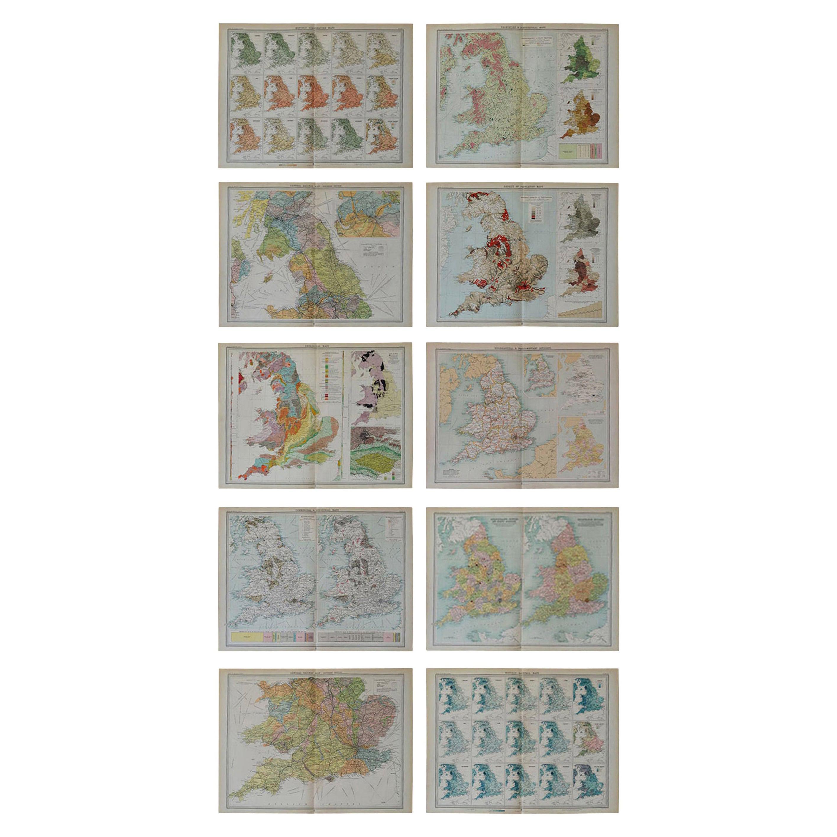
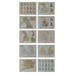
- Set of 10 Large Scale Vintage Maps of The United Kingdom, circa 1900Located in St Annes, LancashireGreat set of maps of the UK Lithographs. By John Bartholomew & Co. Published by The Edinburgh Geographical Institute Unframed. The measurement ...Category
Antique Early 1900s English Maps
MaterialsPaper
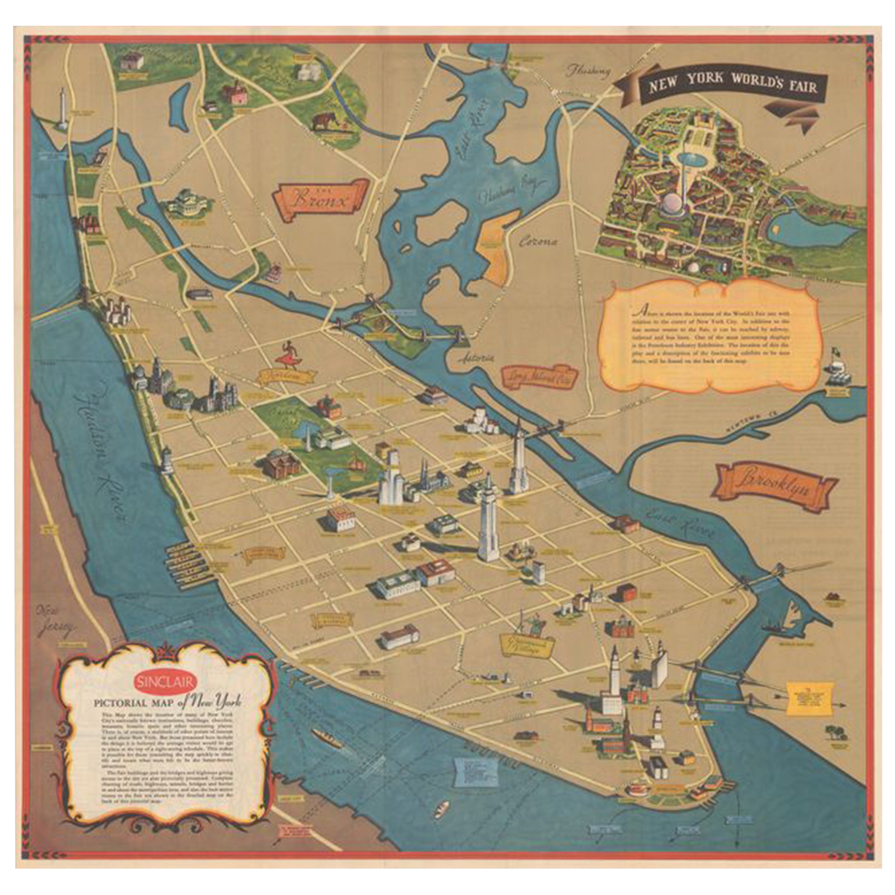
- Pictorial Vintage Map of New York City Showing Numerous Landmarks, 1939Located in Langweer, NLThis pictorial souvenir map focuses on New York City and the site of the 1939 World's Fair. It was drawn by graphic artist George Annand and published by Sinclair Oil...Category
Vintage 1930s Maps
MaterialsPaper
- Antique Map of Asia by Delamarche, 1826Located in Langweer, NLVaugondy's map plates and copyrights and later addes many plates from other sources as well. Charles Delamarche eventually passed control of the firm to his son Felix Delamarche (18t...Category
Antique 19th Century Maps
MaterialsPaper
- East German MapBy VEB Hermann HaackLocated in Baltimore, MDA brilliantly colourful map of the Leipzig, Karl Marx Stadt and Dresden area in the former German Democratic Republic by VEB Hermann Haack of Gotha.Category
Vintage 1970s German Maps


Recently Viewed
View AllMore Ways To Browse
Wine Poster
Vintage Honey Sign
France Map Retro
Retro French Map
Retro Map Of France
French Wine Posters
Retro Map Framed
Retro Maps Framed
Retro Wine Posters
Retro Wine Poster
France Map Vintage
Vintage Map Of France
Retro French Wine Posters
Vintage Map Framed
Wine Region Map
Framed Vintage Maps
Retro Wine Maps
Retro Wine Map