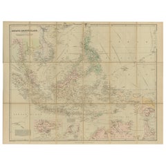
Antique Map of the Asiatic Archipelago by E. Stanford, circa 1910
Located in Langweer, NL
Antique folding map titled 'London Atlas Map of the Asiatic Archipelago'.
Category
20th Century English The Vintage Map
Materials
Paper
Antique Map of the Asiatic Archipelago by E. Stanford, circa 1910
Located in Langweer, NL
Antique folding map titled 'London Atlas Map of the Asiatic Archipelago'.
Paper
$540Sale Price|20% Off
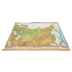
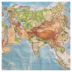
Massive Vintage Wall Map of the Soviet Union 'Sowjetunion' by Karl Wenschow
By Denoyer-Geppert
Located in San Diego, CA
A massive vintage wall map of the Soviet Union (Sowjetunion) published by Karl Wenschow in Munich, Germany, circa 1950s.
Paper, Wood
$380Sale Price|20% Off
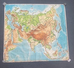
Huge Europe and Asia Vintage Wall Map
Located in San Diego, CA
A huge Europe and Asia vintage wall map, circa 1950s. The map is in fair vintage condition and measures 78"W x 73"H". #2863
Paper
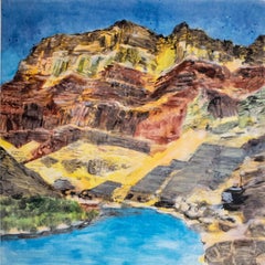
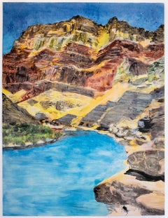
On the Map: Large scale color monotype, Western mountain landscape with blue sky
By Michele Zalopany
Located in New York, NY
The translucency of the ink is showcased by the artist's loose, painterly brush strokes, which create rich layers of color and texture. The imagery of On the Map is taken from an ol...
Monotype
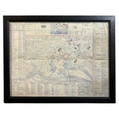
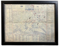
1943 "USO Map Guide to Washington" by Allen F. Free, Published by the U.S.O.
Located in Colorado Springs, CO
Many of the locations are circled in red on the map. The map also identifies key landmark buildings, like Executive Mansion and U.S.
Paper
$945Sale Price|30% Off
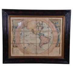
Vincenzo Coronelli's Colored Map of the New World Western Hemisphere Framed 47"
By Vincenzo Coronelli
Located in Dayton, OH
A Framed Reproduction of Coronelli's Map of the New World, Attributed to Trevor James Company.
Paper
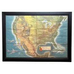
"American Airlines System Map" by Rand McNally & Co., circa 1962
By Rand McNally & Co.
Located in Colorado Springs, CO
Presented is an original "American Airlines System Map" from 1962. A topographical map of the United States, overlaid with American Airlines routes, this colorful lithograph was prep...
Paper
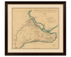
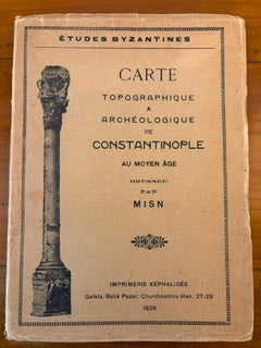
Byzance–Constantinople: Archaeological & Topographical Map, MISN, 1938
Located in Langweer, NL
Keywords: Byzantium, Constantinople, Istanbul, Byzantine Empire, archaeological map, topographical map, MISN, Études Byzantines, Galata, Golden Horn, Bosphorus, Sea of Marmara, medie...
Paper
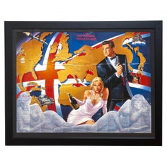
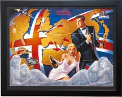
1987 "The Ian Fleming Thriller Map" by Aaron Blake Publishers
Located in Colorado Springs, CO
The pictorial map was illustrated by John Zeleneck, with graphics by Susan Lewis.
Paper
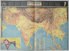
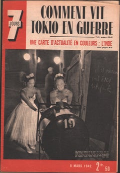
World War II Pictorial Map of India and Southeast Asia by Jacques Mercier, 1942
Located in Langweer, NL
World War II Pictorial Map of India and Southeast Asia by Jacques Mercier, 1942 DESCRIPTION: Original World War II-era pictorial map of India and Southeast Asia, designed by French ...
Paper
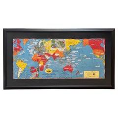
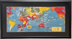
1944 "Dated Events War Map" by Stanley Turner, WWII Pictorial Map
Located in Colorado Springs, CO
Presented is a striking WWII pictorial map by Stanley Turner, published in 1944. The map is a progress map, chronicling major events in the war up to September 1944.
Paper
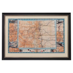
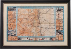
1943 "Colorado Railroads" Map by Linn Westcott, for "Trains Magazine"
Located in Colorado Springs, CO
It was issued by Kalmbach Publishing Co., who boasted on the map’s original cover that "this is the most complete railroad map of Colorado ever prepared."
Paper
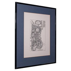
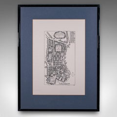
Vintage Framed 18th Century Street Map, London, West End, Soho, Leicester Square
Located in Hele, Devon, GB
Dimensions: Max Width: 48cm (19'') Max Depth: 1.5cm (.5'') Max Height: 62.5cm (24.5'') Map Width: 30cm (11.75'') Map Height: 43.5cm (17.25'')
Glass, Paper
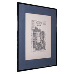
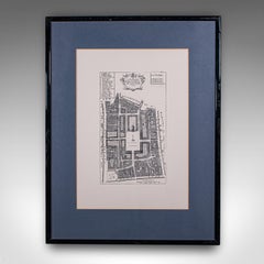
Vintage 18th Century Street Map, London, Covent Garden, The Strand, Cartography
Located in Hele, Devon, GB
Dimensions: Max Width: 47.5cm (18.75'') Max Depth: 1.5cm (.5'') Max Height: 62.5cm (24.5'') Map Width: 30cm (11.75'') Map Height: 43cm (17'')
Glass, Paper
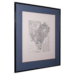
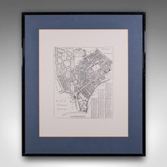
Vintage 18th Century Street Map, London, St Martins In The Field, Cartography
Located in Hele, Devon, GB
Dimensions: Max Width: 61cm (24'') Max Depth: 1.5cm (.5'') Max Height: 71cm (28'') Map Width: 43.5cm (17.25'') Map Height: 53cm (20.75'')
Glass, Paper
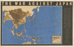
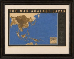
Original Vintage WWII Pacific Theater Map “The War Against Japan” Poster, 1944
Located in Langweer, NL
Original Vintage WWII Pacific Theater Map “The War Against Japan” Poster, 1944 Large and visually striking World War II propaganda and military information map titled “The War Again...
Paper
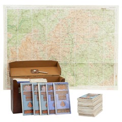
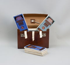
Set Of 37 Bartholomew's Road Maps In Leather Case
Located in Oxfordshire, GB
Vintage Set of Folding Bartholomew's Road Maps of Great Britain with Opisometer A vintage set of 37 Bartholomew's revised "Half-Inch" contoured road maps of Great Britain, housed in ...
Leather, Paper
$689Sale Price|20% Off
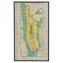
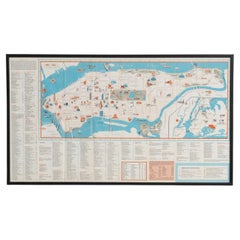
Mid-Century Map of New York, Framed in Black Lacquered Wood
Located in Barcelona, ES
Mid-Century Map of New York, Framed in Black Lacquered Wood Beautiful mid-century printed map of New York, showcasing the city’s iconic grid and urban layout with vintage charm and ...
Paper
$662Sale Price|20% Off
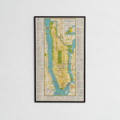
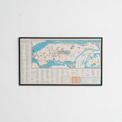
Mid-Century Map of New York, Framed in Black Lacquered Wood
Located in Barcelona, ES
Mid-Century Map of New York, Framed in Black Lacquered Wood Beautiful mid-century printed map of New York, showcasing the city’s iconic grid and urban layout with vintage charm and ...
Paper
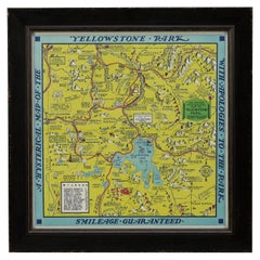
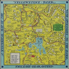
1948 "A Hysterical Map of Yellowstone National Park" by Jolly Lindgren, 2nd Ed.
Located in Colorado Springs, CO
Presented is a second edition printing of Jolly Lindgren’s “Hysterical Map of Yellowstone National Park.” This comical pictorial map highlights the famous Yellowstone National Park.
Paper
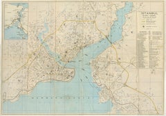
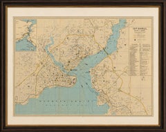
Vintage Tourist Map of Istanbul (Constantinople), Bosphorus & Marmara Sea, c1950
Located in Langweer, NL
Overall clean, well-preserved, and highly suitable for framing. Keywords: Istanbul map, Constantinople map, Bosphorus map, Turkey cartography, Turkish tourist map, Marmara Sea, Beyo...
Paper
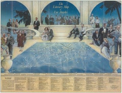
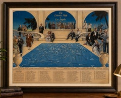
Vintage Literary Map of Los Angeles by Linda Ayriss, 1987
Located in Langweer, NL
Vintage Literary Map of Los Angeles by Linda Ayriss, 1987 DESCRIPTION: Original 1987 pictorial map, “The Literary Map of Los Angeles,” illustrated by Linda Ayriss with graphic desig...
Paper
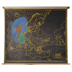
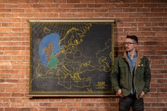
Vintage Blackboard Europe Pulldown Map by Nystrom
Located in Dekalb, IL
. - Chicago, Illinois Striking black-ground classroom map of Europe from Nystrom's "Royal Series," rendered with bold yellow linework and grid overlays.
Canvas
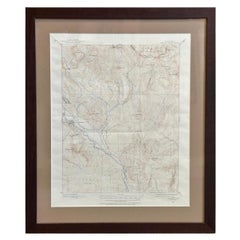
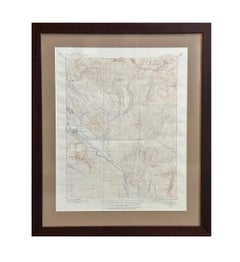
Vintage "Colorado, Crested Butte Sheet" USGS Topographical Map, 20th Century
By United States Geological Survey
Located in Colorado Springs, CO
Presented is a vintage "Colorado, Crested Butte Sheet" topographical map, first published by the United States Geological Survey.
Paper
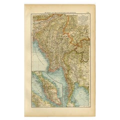
Antique Map of Burma and the Malayan Peninsula by Andree, 1904
Located in Langweer, NL
Antique map titled 'Burma und Malayische Halbinsel'. Map of Burma / Myanmar and the Malayan peninsula.
Paper
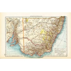
German Antique Map of Southeastern Australia, 1904
Located in Langweer, NL
This large antique map is taken from; 'Andrees Allgemeiner Handatlas in 126 Haupt-Und 139 Nebenkarten', Bielefeld; Leipzig: Velhagen & Klasing 1899.
Paper
$240Sale Price|20% Off
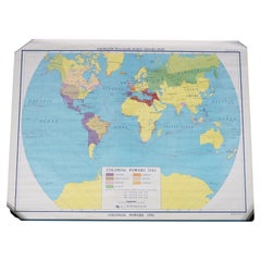
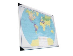
Vintage Colonial Powers 1783 Historic World Wall Map A J Nystrom Pull Down 50"
By A.J. Nystrom & Co
Located in Dayton, OH
This rare classroom pull-down world history map, titled "Colonial Powers 1783," is part of the Knowlton-Wallbank World History Maps series published by the prominent A.J.
Paper
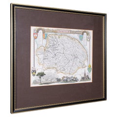
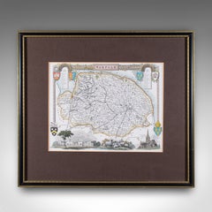
Vintage Norfolk County Map, English, Framed, Cartography, After Thomas Moule
Located in Hele, Devon, GB
Dimensions: Max Width: 41cm (16.25'') Max Depth: 1.5cm (.5'') Max Height: 36cm (14.25'') Map Width: 36cm (14.25'') Map Height: 26cm (10.25'')
Glass, Paper
$992Sale Price|20% Off
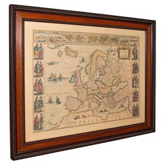
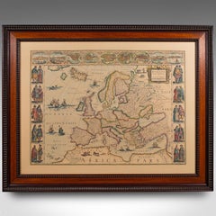
Vintage Reproduction 17th Century Map of Europe, American, Cartography, Blaeuw
Located in Hele, Devon, GB
Dimensions: Max Width: 97.5cm (38.5'') Max Depth: 3.5cm (1.5'') Max Height: 77cm (30.25'') Map Width: 48cm (19'') Map Height: 69.5cm (27.25'')
Glass, Wood, Paper
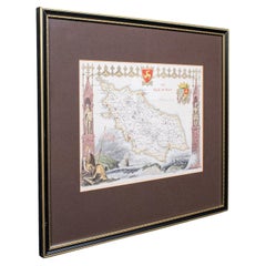

Vintage Isle of Man Map, English, After Thomas Moule, Manx Cartography, Framed
Located in Hele, Devon, GB
Dimensions: Max Width: 40.5cm (16'') Max Depth: 1.5cm (.5'') Max Height: 36.5cm (14.25'') Map Width: 27cm (10.75'') Map Height: 20cm (7.75'')
Glass, Paper
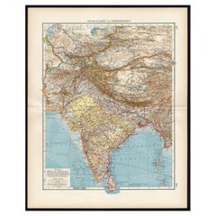
Antique Map of Central Asia and India, 1904
Located in Langweer, NL
Antique map titled 'Zentralasien und Vorderindien'. Map of Central Asia and India.
Paper
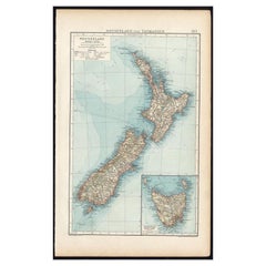
Antique Map of New Zealand and Tasmania, 1904
Located in Langweer, NL
Depending on the individual map, presentation, and context, a rare or antique map can be modern, traditional, abstract, figurative, serious or whimsical.
Paper
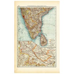

Antique Map of Southern India by Andree, 1904
Located in Langweer, NL
"Antique map titled 'Vorderindien, sudlicher Teil'. Map of India, southern part.
Paper
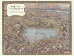
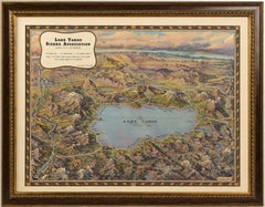
Vintage Lake Tahoe Bird’s-Eye View Pictorial Map by Gerald A. Eddy, circa 1945
Located in Langweer, NL
Vintage Lake Tahoe Bird’s-Eye View Pictorial Map by Gerald A. Eddy, circa 1945 DESCRIPTION: Original vintage pictorial map of Lake Tahoe and the surrounding Sierra Nevada, painted b...
Paper
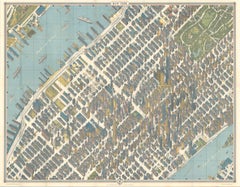
Hermann Bollmann New York City Bird’s-Eye Map for American Airlines, 1964
Located in Langweer, NL
Hermann Bollmann New York City Bird’s-Eye Map for American Airlines, 1964 DESCRIPTION: Original vintage pictorial map and travel guide to New York City, published for American Airli...
Paper
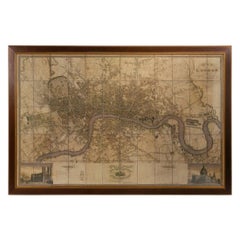
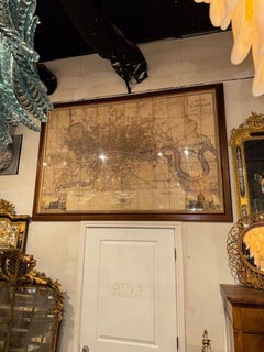
Large Scale Map of the London Metropolis
Located in Dallas, TX
The product is a large scale map of the London Metropolis, specifically focusing on the city in intricate detail.
Paper
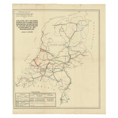
Vintage Road Map of the Netherlands '1928'
Located in Langweer, NL
Map of the Netherlands, used to illustrate the highways/roads that need improvement or that need to be build.
Paper
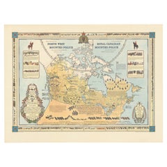
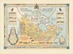
The History of the Royal Canadian Mounted Police, Published in 1966
Located in Langweer, NL
This rare pictorial map by Peter R. Furse celebrates the history of the Royal Canadian Mounted Police.
Paper
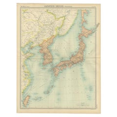
Antique Political Map of the Japanese Empire, 1922
Located in Langweer, NL
Antique map of Japan titled 'Japanese Empire - Political Map'.
Paper
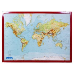
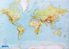
George Philip's Large Relief Map of the World 150x110cm
By George Philip & Son
Located in Linkebeek, BE
George Philip's Large Relief Map of the World 150x110cm PHILIP, George Relief Map of the World.
Plastic, Wood
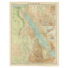
Antique Map of the Region of the Nile River by Bartholomew, 1922
Located in Langweer, NL
Antique map of Africa titled 'Egypt and the Nile'. Old map of Africa depicting Egypt, the Nile river and surroundings.
Paper
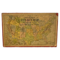
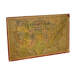
Vintage Milton Bradley's Cut-Out Map of the United States.
Located in Seattle, WA
Vintage Milton Bradley's "Cut-Out Map of the United States," featuring individually outlined states arranged to form a map of the continental United States.
Paper
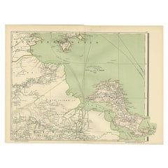
Antique Map of the Region of Banjarmasin, Indonesia 1900
Located in Langweer, NL
Antique Map of the Region of Banyuasin, Sumatra. Also depicting Bangka/Banka island.
Paper
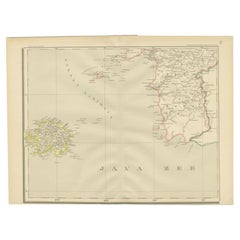

Antique Map of the Java Sea by Dornseiffen, 1900
Located in Langweer, NL
This map originates from 'Atlas van Nederlandsch Oost- en West-Indië' by I.
Paper
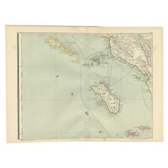

Antique Map of the Nias Archipelago, Sumatra, Indonsia, 1900
Located in Langweer, NL
This map originates from 'Atlas van Nederlandsch Oost- en West-Indië' by I.
Paper
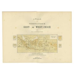

Antique Map of the East Indies by Dornseiffen, 1900
Located in Langweer, NL
Depending on the individual map, presentation, and context, a rare or antique map can be modern, traditional, abstract, figurative, serious or whimsical.
Paper
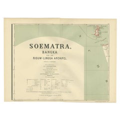

Antique Map of the Batu Islands by Dornseiffen, 1900
Located in Langweer, NL
This map originates from 'Atlas van Nederlandsch Oost- en West-Indië' by I.
Paper
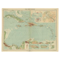
Antique Map of the West Indies in Full Color, 1922
Located in Langweer, NL
Antique map titled 'The West Indies.' A map of the West Indies, the Carribean region.
Paper
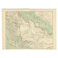

Antique Map of the East Coast of Sumatra , Indonesia, 1900
Located in Langweer, NL
Antique map of the East Coast of Sumatra. Also depicting the Strait of Malacca.
Paper
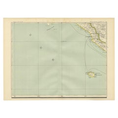

Antique Map of the Region of Bengkulu in Indonesia, 1900
Located in Langweer, NL
Antique map of the region of Benkulu, Sumatra. Also depicting Enggano Island.
Paper
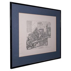
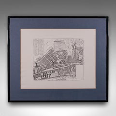
Vintage 18th Century Street Map, London, Lincoln's Inn, The Strand, Cartography
Located in Hele, Devon, GB
Dimensions: Max Width: 71cm (28'') Max Depth: 1.5cm (.5'') Max Height: 61cm (24'') Map Width: 53cm (20.75'') Map Depth: cm ('') Map Height: 42cm (16.5'')
Glass, Paper
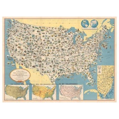
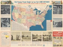
Old Decorative Pictorial Map of the United States, circa 1953
Located in Langweer, NL
Antique map titled 'A Pictorial Map of the United States of America Showing Principal Regional Resources, Products, and Natural Features'.
Paper
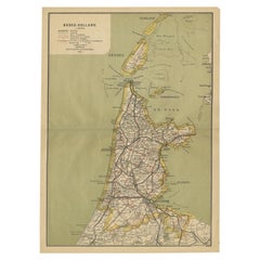
Antique Map of Noord-Holland, Province of The Netherlands, 1902
Located in Langweer, NL
Antique map titled 'Noord-Holland'. Lithographed map of the province of Noord-Holland, the Netherlands.
Paper
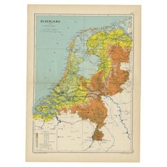
Antique Elevation Map of the Netherlands by Beekman & Schuiling, 1927
Located in Langweer, NL
Antique map titled 'Nederland Hoogtekaart'. This map originates from 'Schoolatlas der Geheele Aarde' published in Zutphen by W.J.
Paper
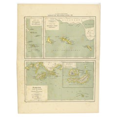

Antique Map of the West Indies and Ambon in Indonesia, 1900
Located in Langweer, NL
Old map of the Dutch West Indies and Ambon Island, Indonesia.
Paper
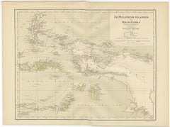
Antique Map of the Moluccas and Irian Jaya (Papua), Indonesia, 1900
Located in Langweer, NL
Antique map titled 'De Moluksche Eilanden en Nieuw Guinea'.
Paper
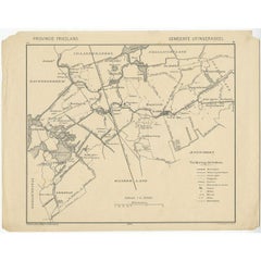
Antique Map of the Region of Utingeradeel by Meijer & Schaafsma, 1906
Located in Langweer, NL
Antique map titled 'Gemeente Friesland. Gemeente Utingeradeel'.
Paper
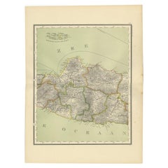

Antique Map of Central Java Depicting The Karimun Islands, Indonesia, 1900
Located in Langweer, NL
Antique map of Central Java, also depicting the Karimun Islands.
Paper

Old Map of the Dutch City of Megen in Holland, 1916
Located in Langweer, NL
Antique map Megen titled 'Megen'. Antique map depicting the city of Megen, Noord-Brabant, The Netherlands.
Paper
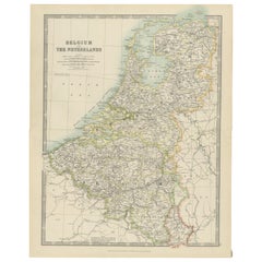
Antique Map of Belgium and the Netherlands by Johnston 'c.1920'
Located in Langweer, NL
Antique map titled 'Belgium and the Netherlands'. Original antique map of Belgium and the Netherlands.
Paper
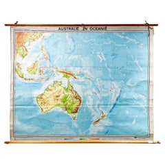
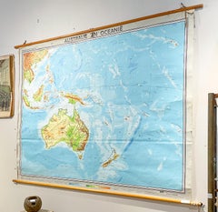
Unavailable
H 69 in W 89 in D 1.2 in
Mid-Century Dutch Topographical Wall Map of Australia and Oceania on Linen
Located in Houston, TX
The map itself measures 66.5" H x 83" H. Folds and wear present, including a tear at the top in the word "En" and some small tears along the edge of the map.
Linen, Wood, Paper
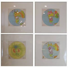
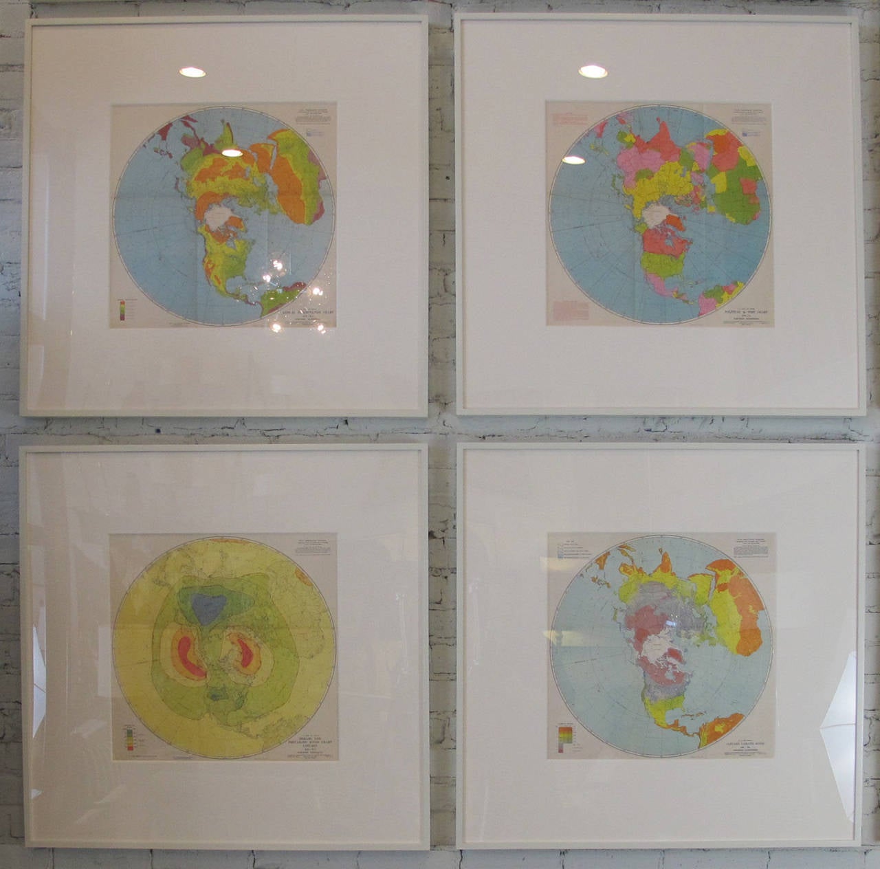
Air Force Aeronautic Charts
Located in New York, NY
Dimensions below are for the frames; the maps measure 18" square. Price is per individual map.
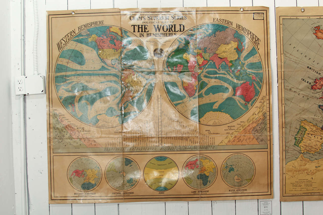
Political Map Of The World In Hemispheres
By George F. Cram
Located in Seattle, WA
Artistic as it is educational this stunning vintage Cram's Superior Series Map of the World will light up any environment.
Linen
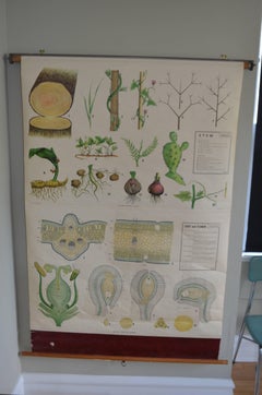
Map from the Biology Classroom 'The Stem, Leaf and Flower'
Located in Madison, WI
Map of The Stem, Leaf and Flower from the biology classroom.
Hardwood, Paper
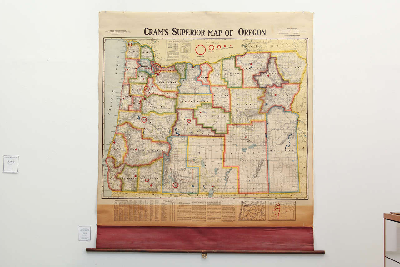
Crams Superior Map Of Oregon
By George F. Cram
Located in Seattle, WA
Vivid colors and bold graphics characterize this vintage circa 1940's school map of the State of Oregon.
Linen
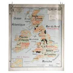
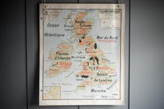
French School Map of Uk, Double-Sided
Located in Alton, GB
Map of the UK in french made for schools from the 20th century.
Paper
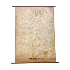

Oversize 1930's Street Map of Greater Boston
Located in Asheville, NC
A fantastic wall map of the greater Boston area in the late 1930's - Streets are detailed, neighborhoods are clearly divided - A beautiful and important piece of one of our most his...
Walnut, Canvas
Unavailable
H 0.6 in W 34.45 in D 45.67 in
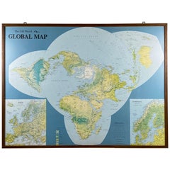
Framed World Map by Scandinavian Airlines, Esselte Map Service 1979
Located in Achterveld, NL
Rare massive world map published by Scandinavian Airlines and printed by the Esselte Map Service.
Wood
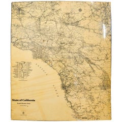
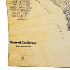
Map of California South Western Area by AAA Automotive Club
Located in Los Angeles, CA
Fiberglass map of California South Western area by AAA Automotive Club An oversized road map that has been mounted onto board, produced by the AAA Club of Southern California.
Lacquer, Paper
Unavailable
H 33.08 in W 42.52 in
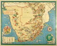
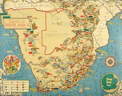
Original Vintage Illustrated Map Poster Union Of South Africa MacDonald Gill
By "Leslie MacDonald ""Max"" Gill"
Located in London, GB
The map is also decorated with a compass, coat of arms of South Africa, small map of England used to show scale, ships, waves and clouds.
Paper

Unavailable
H 35.04 in W 24.02 in
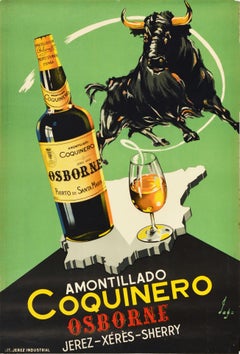
Original Vintage Drink Poster Amontillado Coquinero Osborne Sherry Map Bull Art
Located in London, GB
Original vintage drink advertising poster for Amontillado Coquinero Osborne Sherry / Xeres / Jerez Puerto de Santa Maria Espana featuring a great design depicting a bull above a bott...
Paper

Unavailable
H 35.04 in W 23.63 in
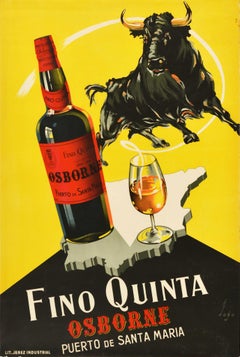
Original Vintage Drink Poster Fino Quinta Osborne Sherry Spain Map Bull Design
Located in London, GB
Original vintage drink advertising poster for Fino Quinta Osborne Puerto de Santa Maria Espana featuring a great design depicting a bull above a bottle of wine next to glass on an ou...
Paper

Unavailable
H 35.04 in W 24.02 in
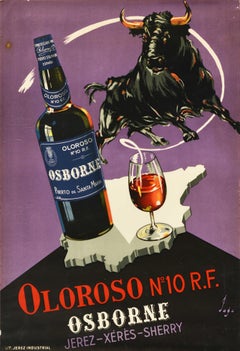
Original Vintage Drink Poster Oloroso No.10 R.F. Osborne Sherry Map Bull Design
Located in London, GB
Osborne Sherry / Xeres / Jerez Puerto de Santa Maria Espana featuring a great design depicting a bull above a bottle of the sherry wine made from palomino grapes next to a glass on a...
Paper


Unavailable
H 30.32 in W 20.87 in
Original Vintage Chinese Communist Party Propaganda Poster New China Map Beijing
Located in London, GB
Original vintage Chinese Communist Party propaganda poster commemorating the 60th anniversary of the founding of the party: 1921-1981 Without the Communist Party There Would Be No Ne...
Paper
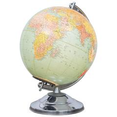
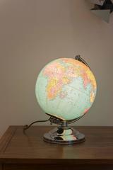
Illuminated Replogle Library Globe
Located in San Francisco, CA
The chrome is very clean and the map is near perfect with "glass" not plastic sphere.
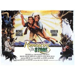

"Romancing The Stone" Film Poster, 1984
Located in London, GB
A dowdy romantic-adventure writer is hurled into a real-life adventure in the Colombian jungle in order to save her sister, who will be killed if a treasure map is not delivered to h...
Unavailable
H 40.16 in W 50.01 in
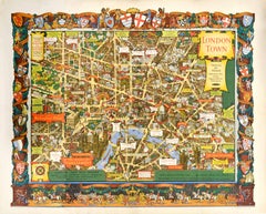
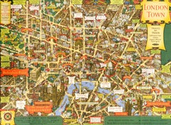
Original Vintage Travel By Train London Town Pictorial Map Poster Kerry Lee
By Kerry Lee
Located in London, GB
Original vintage Travel By Train map poster for London Town by the British artist, illustrator and poster designer Kerry Lee (1902-1988) featuring a detailed pictorial map of central...
Paper


The Seven Year Itch (1955)
Located in London, GB
The Seven Year Itch (1955) Original US One Sheet (27 X 41 Inches) The Asphalt Jungle put her on the map, Gentleman Prefer Blondes made her a star, but The Seven Year Itch made Maril...
Paper
Unavailable
H 26.78 in W 33.27 in
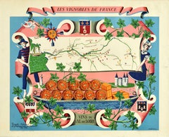
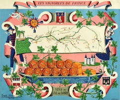
Original Vintage Poster Vignobles De France Vins Du Val De Loire Valley Wine Map
By Rémy Hetreau
Located in London, GB
Original vintage drink advertising poster promoting French wines (one of a series issued by the Comite National de Propagande en Faveur du Vin national committee for the promotion of...
Paper
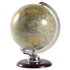
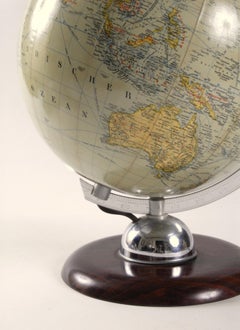
World Globe Glass Light West Germany 1950s JRO with Bakelite Base
By JRO-Verlag 1
Located in Pymble, NSW
Mounted on a Bakelite base with an aluminium gauge marked with latitude marks sitting on a chrome dome. The map paper is in excellent condition and when lit displays with a lovely so...
Blown Glass
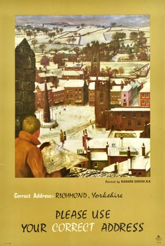
Unavailable
H 29.93 in W 20.08 in
Original Vintage Post Office Advertising Poster Richmond Yorkshire Midcentury
By Richard Eurich
Located in London, GB
Original vintage post office advertising poster featuring a great artwork by a British artist Richard Eurich (1903-1992) depicting a man looking at the map of Richmond with the city ...
Paper
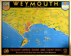
Unavailable
H 40.16 in W 50.01 in
Original Vintage Railway Travel Poster Weymouth GWR SR Railway Map Express Train
Located in London, GB
Original vintage railway travel poster advertising Weymouth and District Frequent Express Trains and Cheap Fares GWR Great Western Railway SR Southern Railway featuring a pictorial m...
Paper

Unavailable
H 39.77 in W 24.41 in
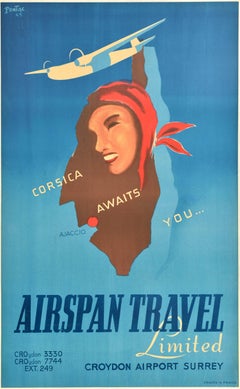
Original Vintage Travel Advertising Poster Airspan Travel Corsica Awaits You
Located in London, GB
Original vintage travel advertising poster for Airspan Travel Limited Corsica Awaits You... featuring an image of a plane flying above a map of Corsica island with a smiling lady in ...
Paper
Unavailable
H 27.56 in W 27.96 in D 27.96 in
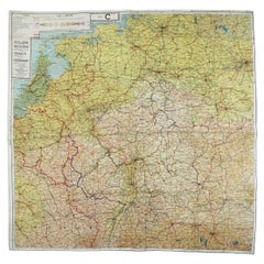
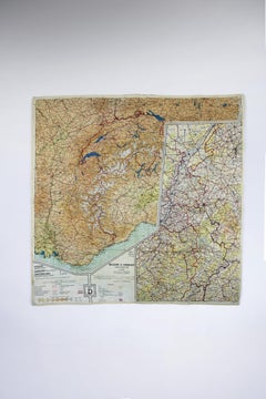
Escape Map & Scarf World War 2 British army RAF 2 sides colored Silk UK 1940
Located in Antwerpen, BE
Introducing an extraordinary piece of World War II history: a Silk Escape Map & Scarf, meticulously crafted for the British Army RAF in 1940.
Silk

Unavailable
H 41.34 in W 29.93 in
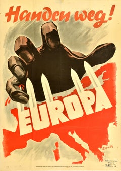
Original Vintage WWII Poster Handen Weg! Europa Hands Off Europe War Netherlands
Located in London, GB
Europa - featuring a dramatic illustration depicting a giant hand grasping at the map of Europe defending itself with swords on the diagonal word Europa across the centre, blood drip...
Paper
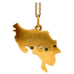
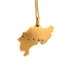
Large Gold Gemset Costa Rica Charm
Located in New York, NY
Unusual large figural map of Costa Rica. 18K yellow gold, set with a diamond and three sapphires.
Diamond, Blue Sapphire, Gold, 18k Gold

Unavailable
H 16.93 in W 23.23 in
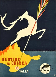
Original Vintage Soviet Intourist Travel Poster Hunting In Crimea Yalta Deer
Located in London, GB
Original vintage Soviet Intourist travel advertising poster - Hunting in Crimea Yalta - featuring a colourful arrow pointing down at the holiday resort city of Yalta on the Black Sea...
Paper

Unavailable
H 22.05 in W 35.04 in
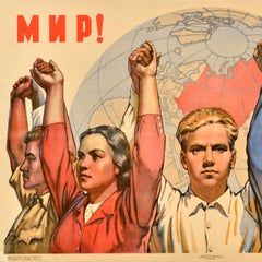
Original Vintage Soviet Union Propaganda Poster World Peace Friendship USSR
Located in London, GB
Original vintage Soviet propaganda poster promoting world Peace / Мир and international Friendship / Дружба featuring a great design depicting determined young people from around the...
Paper
Unavailable
H 15.56 in W 11.62 in
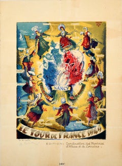
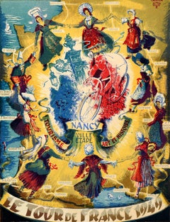
Original Vintage Sport Poster Tour De France 1949 Cycling Nancy Ville Etape
Located in London, GB
Original vintage sport poster - Le Tour De France 1949 Nancy Ville Etape Tourisme Art et Histoire / City stage Tourism Art and History - featuring artwork by Alfred Selig (1907-1974)...
Paper
Unavailable
H 44.89 in W 34.85 in
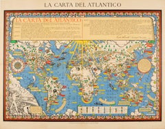
Original WWII Illustrated Map Poster - Time And Tide Map Of The Atlantic Charter
By "Leslie MacDonald ""Max"" Gill"
Located in London, GB
Original vintage illustrated map poster in Spanish by the notable graphic designer, cartographer and artist MacDonald Gill (Leslie MacDonald Gill aka Max Gill; 1884-1947) commissione...
Paper
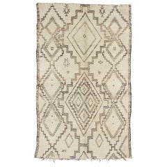

Vintage Moroccan Aït Seghrouchen Rug - Neutral, Cream, Brown
By Berber Tribes of Morocco
Located in Palm Springs, CA
The various points occupied by the Ait Seghrouchen form, on the map, a series of islets of very variable extent, quite distant from each other, sometimes landlocked in the territory ...
Wool
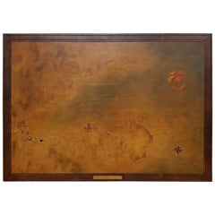
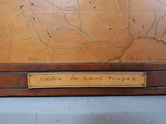
French Vintage Leather Map of the Golfe de St. Tropez
Located in Raalte, NL
French vintage leather map of wooden panel from the 1960s-1970s of Golfe de St.
Leather, Wood


Pair of Armchairs by Augusto Bozzi for Saporiti
By Fratelli Saporiti, Augusto Bozzi
Located in JM Haarlem, NL
Where Vittorio Introini, Alberto Rosselli and Giovanni Offredi shaped the image of Fratelli Saporiti during the 1960s and 1970s, it was Augusto Bozzi (1924-1982) who had put this Ita...
Brass, Metal


Dirty Dancing (1987)
Located in London, GB
Dirty Dancing (1987) Original British Quad (30 X 40 Inches) Seminal 1980's dance movie that put Patrick Swayze on the map. It won an oscar for the song (Time Of My Life) but the fil...
Paper
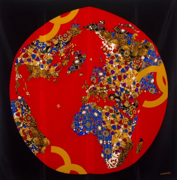
Chanel 100% Silk Twill "Jeweled Map of the World" Scarf
Located in Newport Beach, CA
100% Printed Silk Twill scarf with hand-rolled edges. This scarf represents Chanel's global image as " The Jewel of the World" .
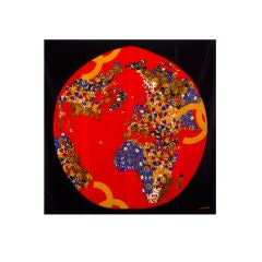
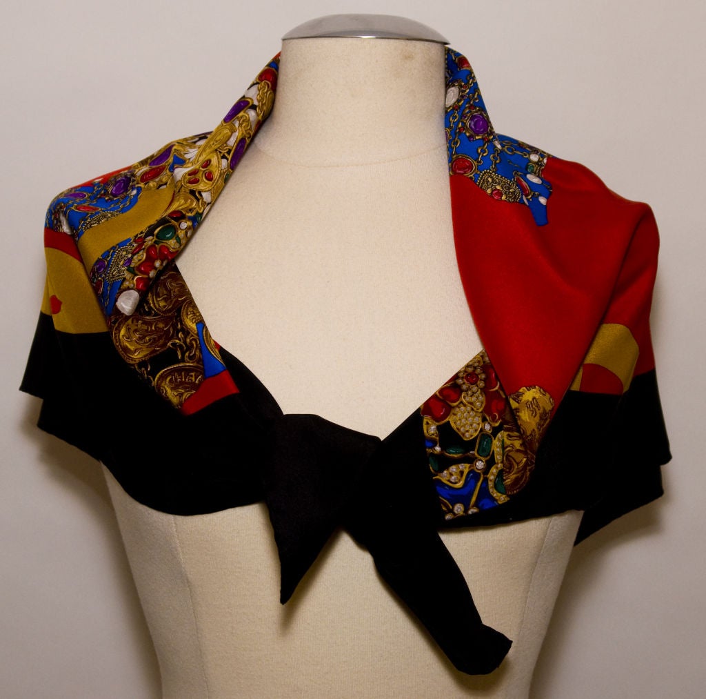
Chanel 100% Silk Twill "Jeweled Map of the World" Scarf
By Chanel
Located in Newport Beach, CA
100% Printed Silk Twill scarf with hand-rolled edges. This scarf represents Chanel's global image as " The Jewel of the World" .

Unavailable
H 24.02 in W 18.12 in
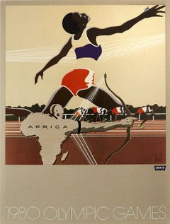
Original Vintage Sport Poster Levi's Moscow 1980 Olympic Games Africa Runner
Located in London, GB
Original vintage sport poster published by the Levi Strauss clothing brand (founded 1853) for the 1980 Moscow Olympic Games featuring a great graphic design depicting an athlete stre...
Paper
Unavailable
H 24.02 in W 18.12 in
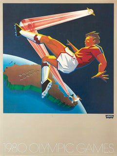
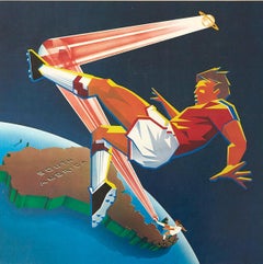
Original Vintage Sport Poster Levi's Moscow 1980 Olympic Games South America
Located in London, GB
Original vintage sport poster published by the Levi Strauss clothing brand (founded 1853) for the 1980 Moscow Olympic Games featuring a dynamic graphic design depicting a football pl...
Paper
Unavailable
H 24.02 in W 18.12 in
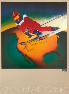
Original Vintage Sport Poster Levi's Moscow 1980 Olympic Games North America Ski
By Michael Gibson
Located in London, GB
Original vintage sport poster published by the Levi Strauss clothing brand (founded 1853) for the 1980 Moscow Olympic Games featuring dynamic artwork depicting a skier in red, white ...
Paper
Unavailable
H 0.4 in W 84.65 in D 74.81 in
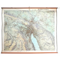
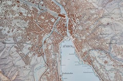
City of Zurich, Decorative Wall-Mounted Map of the City, 1950s
Located in Zürich, CH
If you need something unique to decorate your walls, here it is. This large Map was designed 1956 by the Government of Zurich.
Paper

Unavailable
H 24.02 in W 18.12 in
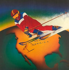
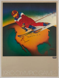
Original Vintage Sport Poster Levi's Moscow 1980 Olympic Games N. America Skiing
By Michael Gibson
Located in London, GB
Original vintage sport poster published by the Levi Strauss clothing brand (founded 1853) for the 1980 Moscow Olympic Games featuring dynamic artwork depicting a skier in red, white ...
Paper
Unavailable
H 40.16 in W 50.01 in
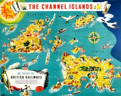
Original Vintage British Railways Poster Illustrated Map Of The Channel Islands
Located in London, GB
Original vintage travel advertising poster for The Channel Islands - Go there by British Railways published by the Southern Region of British Railways. Colourful illustrated map of t...
Paper
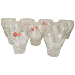
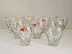
Per Lütken Holmegaard Danish Glass Tumblers, Eight
By Holmegaard, Per Lutken for Holmegaard
Located in Brooklyn, NY
Designer Per Lütken (1916-1998) helped to put the firm on the map of great Mid-Century Modern Danish design, his clean lines marking a distinct path to success for Holmegaard, a firm...
Blown Glass
Unavailable
H 25.2 in W 38.19 in
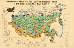
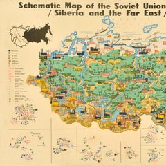
Original Vintage Illustrated Map Poster Schematic Map Soviet Union USSR Russia
Located in London, GB
Original vintage illustrated map poster - Schematic Map of the Soviet Union's East Siberia and the Far East - featuring forests, rivers, mountains, cattle and other animals, shipping...
Paper


Unavailable
Size: See Description
Norma Kamali 1980 Sweats Grey Sweatshirt 2 pc Dress w Snap Front Top & Skirt
By Norma Kamali
Located in Portland, OR
This is an iconic outfit from Norma Kamali line called "Sweats" from 1980 that put her on the map as a designer. It is a skirt and snap front top two piece dress in an extremely soft...
Unavailable
H 47.75 in W 33.25 in D 1.5 in
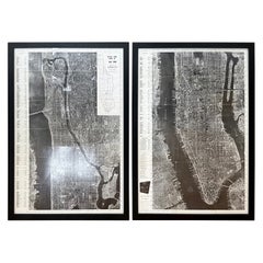
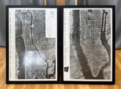
Pair of Monumental National Air Map Company Manhattan Aerial Photo Maps, 1955
Located in San Francisco, CA
A monumental and rare circa 1955 framed two-piece aerial photographic map of the borough of Manhattan in New York City by the National Air Map Company, including its original cover s...
Acrylic, Wood, Paper
Unavailable
H 17.72 in W 23.23 in
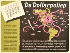
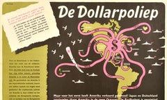
Original Vintage WWII Poster De Dollarpoliep The US Dollar Polyp Octopus War Map
Located in London, GB
Original vintage anti-American imperialism World War Two political propaganda poster - De Dollarpoliep / The Dollar Polyp or The Dollar Octopus - featuring an image of a US dollar si...
Paper
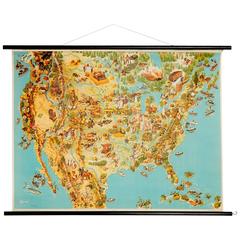
Agricultural Usa School Map, 1960s
Located in Dusseldorf, NRW
Wonderfully detailed school map, fondly illustrating the regional agriculture.
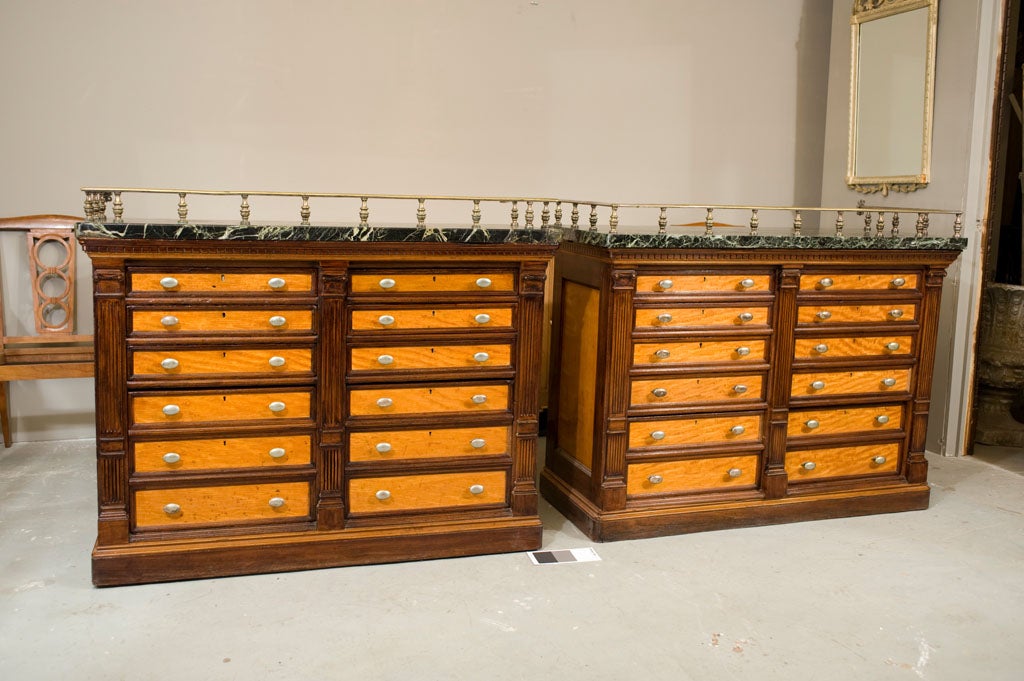
Pr. Map Chests by Gillows
By Gillows of Lancaster & London
Located in Toronto, ON
Pr. of matching map chests by the firm Gillows in satinwood and mahogany.
Marble

Unavailable
H 36 in W 48 in D 5 in
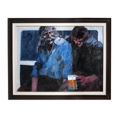
Aldo Luongo Acrylic Painting 36 in. x 48 in. "Part of the Bar"
By Aldo Luongo
Located in Sherman Oaks, CA
Aldo had put himself on the map as a major international artist. Aldo Luongo has continued his reign at the top of the contemporary art world for almost four decades – a distinctio...
Acrylic
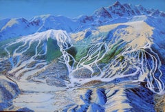
Trail Map Painting of Aspen Snowmass
Located in New York, NY
This is an original Trail Map Painting of Aspen/Snowmass, Colorado from the 1970's.
Acrylic, Gouache
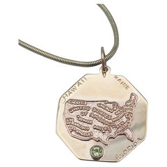
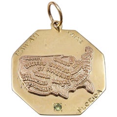
USA Map Florida Maine Hawaii Gold Charm
Located in New York, NY
In the center is an applied figural map of the United States, embossed with names of major cities.
14k Gold
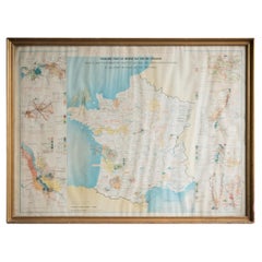
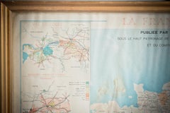
Gilt Framed Vintage Wine Regions of France Map
Located in Alton, GB
Framed French wine region map 1973. The print has been removed to clean the glass, the frame has minor damage in places but nothing that detracts from its beauty, if anything this 'w...
Paper
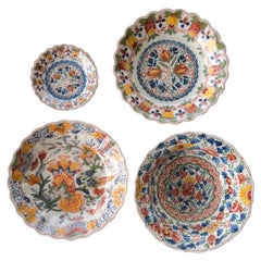
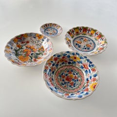
Hand painted Tichelaar Makkum Dutch plates, Set of 4. Various sizes
By Royal Tichelaar Makkum
Located in AMSTERDAM, NH
DIMENSIONS: Saucer: diameter 3"3/4 (10 cm); height 0.78" (2 cm) Plates: diameter 6 (15.5 cm); height 1.38" (3.5 cm) Bowl: diameter 6"3/4 (16 cm); height 2" (5 cm) Royal Tichelaar Ma...
Ceramic
Unavailable
H 20.08 in W 28.35 in
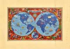
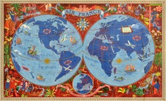
Original Vintage Travel Poster Air France Planisphere Illustrated Map Boucher
By Lucien Boucher
Located in London, GB
Colourful depiction of the world featuring planes, sailing ships and mythical sea creatures with the Air France route lines marked around the world, a decorative sun on the equator l...
Paper
Unavailable
H 50.4 in W 35.44 in
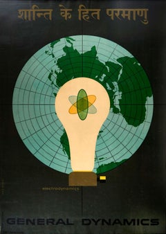
Original Vintage Poster General Dynamics Electrodynamics Atomic Energy Map Light
By Erik Nitsche
Located in London, GB
Great illustration featuring the atom symbol inside a light bulb in front of a globe map of the world against a grey background with stylised lettering above and below in Sanskrit an...
Paper
Unavailable
H 29.93 in W 20.48 in
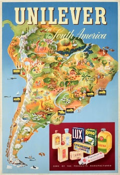
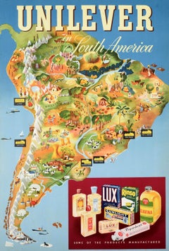
Original Vintage Advertising Poster Unilever South America Illustrated Map Art
Located in London, GB
Original vintage advertising poster for Unilever in South America featuring a colourful illustrated map marking the factories - Lever & Atkinson Lima Peru / Atkinson Santiago Chile /...
Paper

Unavailable
H 24.81 in W 38.98 in
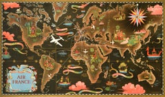
Original Vintage Travel Route Poster Air France Planisphere Map Lucien Boucher
By Lucien Boucher
Located in London, GB
Original vintage planisphere travel route map poster promoting Air France the global air network of the French national airline carrier.
Paper
Unavailable
H 33.08 in W 30.71 in
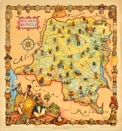
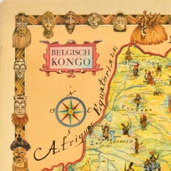
Original Vintage Travel Map Poster Belgian Congo Africa Thiriar Margraff Belgium
Located in London, GB
Original vintage travel map poster for the Belgian Congo / Belgisch Kongo featuring a pictorial map of the area bordering Equatorial Africa, French Sudan, Angola, Rhodesia, Tanganyik...
Paper
Unavailable
H 26.38 in W 38.59 in
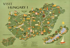
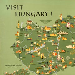
Original Vintage Travel Poster Visit Hungary Pictorial Map Budapest Lake Balaton
Located in London, GB
- featuring a pictorial map of the country including colourful illustrations of people in traditional dress, historic castles and other places of interest, lakes and rivers, wine and...
Paper
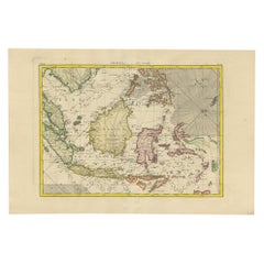
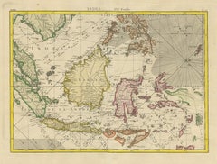
Antique Map of the East Indies by Bonne '1776'
Located in Langweer, NL
Antique map titled 'Indes IVe Feuille'. Very decorative original antique map of the East Indies. Covbers from the Gulf of Siam (Gulf of Thailand) and Malacca (Malaysia) eastward to i...
Paper
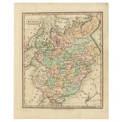
Antique Map of Russia by Tyrer, 1821
Located in Langweer, NL
Antique map titled 'Russia'. Beautiful antique map of Russia engraved by Tyrer. Artists and Engravers: Published by J. Souter, London. Artist: Published by J. Souter, London. C...
Paper
$251
H 19.49 in W 25.6 in D 0.04 in
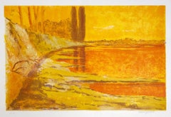
Landscape - Lithograph by Mario Sportelli - 1980s
By Mario Sportelli
Located in Roma, IT
Landscape is an original lithograph on cardboard, realized by Mario Sportelli in 1980s. The state of preservation is very good. Hand-signed on the lower right Edition of 100 copi...
Lithograph
$488
H 15.75 in W 11.75 in D 1 in
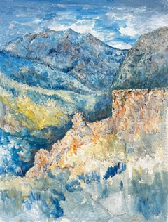
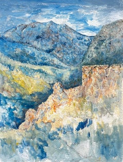
French Mountain Landscape Blue Valley Watercolor Ink Painting Bernard Labbe
By Bernard Labbe
Located in Cirencester, Gloucestershire
Title: French Mountain Landscape Blue Valley Watercolor Ink Painting Bernard Labbe Artist: Bernard Labbe (French mid 20th century) Medium: Watercolor and ink on artists paper laid on...
Watercolor


$1,800
H 6.75 in W 11.75 in
WOP 2 - 00639, Neoromantic Landscape, Signed Mixed Media on Paper, 22.5 x 30.25
By Hiro Yokose
Located in Phoenix, AZ
mixed media on paper; unframed signed lower right Neoromantic painter Hiro Yokose fuses multiple layers of wax and oil paint to create mysterious, veiled landscapes illuminated wi...
Paper, Mixed Media, Oil

$2,100
H 51.2 in W 38.2 in
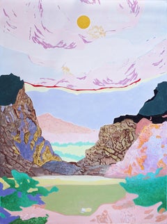
Over Peaks and Valleys, Impressionist Landscape, Pastel Tones, Acrylic on Canvas
By Alexandra Czierpka
Located in Barcelona, ES
This is a beautiful landscape painting by Alexandra Czierpka. By reducing color and form to their essentials, she invites the observer to contemplate the harmony between humans and n...
Canvas, Oil Crayon, Oil, Acrylic
$160Sale Price|20% Off
H 24.9 in W 28 in
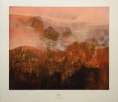
Mirador Lithograph Print, Abstract Landscape, 20th Century, Signed
Located in Chesterfield, MI
Plate signed signature. Lithograph Measures 24.9 x 28 inches. Good Condition
Lithograph
$425
H 46 in W 71 in D 1 in
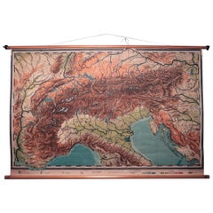
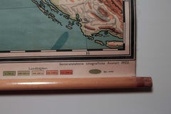
Vintage Swedish Topographic School Map of European Alps, Made in Sweden 1922
Located in Los Angeles, CA
Vintage Swedish Topographic School map of European Alps, Made in Sweden 1922 This vintage Swedish school map is so unique and a great example of why these are so collectible. W...
Linen, Wood, Paper
$195
H 51.19 in W 39.38 in D 0.79 in
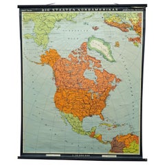
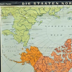
Vintage Map Wall Chart Countries of North America Rollable Mural Poster
Located in Berghuelen, DE
The vintage pull-down school map illustrates the countries / states of North America. Published by Haack-Painke Justus Perthes Darmstadt. Colorful print on paper reinforced with canv...
Canvas, Wood, Paper
$250
H 70.48 in W 66.93 in D 0.79 in
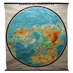
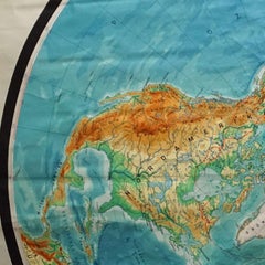
Northern Hemisphere of the Earth Rollable Map Vintage Wall Chart World Mural
Located in Berghuelen, DE
A great pull-down map or vintage wall chart illustrating the northern hemisphere of the earth. Published by Prof. Dr. C. Troll, Flemmings Verlag Hamburg. Colorful print on paper rein...
Canvas, Wood, Paper
$317
H 22.25 in W 29.93 in D 0.04 in
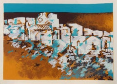
Landscape Lithograph by Mario Bardi, Signed, Edition of 100, 1974
By Mario Bardi
Located in Roma, IT
Screen print on paper realized by Mario Bardi in 1974. Hand signed, dated and numbered. Edition of 100. Very good condition.
Lithograph
$882
H 19.49 in W 25.12 in D 0.02 in
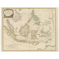
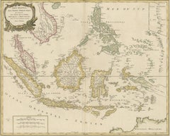
Antique Map of the Indonesian and Philippine Archipelagos by R. de Vaugondy
Located in Langweer, NL
Striking and highly detailed map of the region from Sumatra and Malaca and Southern China to the Philipines, New Guinea and Northern Australia, centered on Borneo. Includes a large i...
Paper


$3,400
H 40 in W 30 in D 2.5 in
"Clear Day (Revelation Range)", Abstract Landscape, Mountain, Blue, Oil Painting
By Kathline Carr
Located in Franklin, MA
Kathline Carr’s “Clear Day (Revelation Range)” is a 40 x 30 x 2.5 inch abstract oil painting on wood panel, depicting a section of mountain range where the structures and colors are ...
Oil, Wood Panel
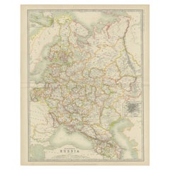
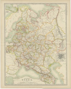
Antique Map of Russia in Europe by Johnston (1909)
Located in Langweer, NL
Antique map titled 'European Russia'. Original antique map of Russia in Europe. With inset maps of St Petersburg and Moscow. This map originates from the ‘Royal Atlas of Modern Geogr...
Paper
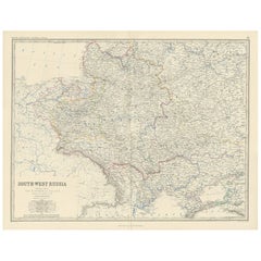

Antique Map of South-West Russia by A.K. Johnston, 1865
Located in Langweer, NL
Antique map titled 'South-West Russia showing the extent of the Kingdom of Poland previous to its partition in 1772'. This map originates from the ‘Royal Atlas of Modern Geography’ b...
Paper

$1,275
H 19.5 in W 15.75 in D 1 in
Gloria Saez, Between the Sky and the World, Oil on paper, 2015
By Gloria Sáez
Located in New York, NY
"Between the Sky and the World" by Gloria Saez is a vertical abstract, oil paint on paper with soft whites, blues, peaches, yellows, pinks, grays and greens. The layers of under-pa...
Paper, Oil


Gilt Framed Beveled Glass Mirror
Located in Dallas, TX
Gilt framed beveled glass mirror, it has gold paint over the old gilt below.
Giltwood

$39,950
H 23 in W 27 in D 1 in
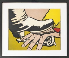
Foot and Hand Offset Lithograph, Hand Signed, Limited Edition, Corlett II. 4
By Roy Lichtenstein
Located in Aventura, FL
Offset lithograph in colors on wove paper. Hand signed, dated and numbered by Roy Lichtenstein. Inscribed "HC." (there is also an edition of 300 signed and numbered copies plus an ...
Lithograph, Paper


$1,625Sale Price|35% Off
H 55 in Dm 22 in
Art Deco WWII Military Strategy Chalk Teaching Globe on Stand by Denoyer-Geppert
Located in San Diego, CA
Rare art deco WWII military strategy chalk teaching globe by Denoyer-Geppert with period chrome stand, circa 1940s. The globe is in good condition with original paint; there are seve...
Chrome, Steel


Michael Cutler Kinetic Sculpture
By Michael Cutler
Located in West Palm Beach, FL
Michael Cutler was an American Artist from California. Trained as an electronic technician, he turned to kinetic sculpture in the 1970s. The sculpture 3 precision balanced elements...
Chrome
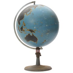
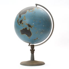
Globe by Denoyer Geppert Company
By Denoyer-Geppert
Located in Sagaponack, NY
A graphic and finely fabricated spun steel teaching globe mounted on a weighted stand.
Steel

Bruce Springsteen- "Darkness on the Edge of Town"
By Frank Stefanko
Located in Mount Pleasant, SC
Bruce Springsteen for the Cover photograph of "Darkness on the Edge of Town" album. Haddonfield, NJ Signed by the photographer on the front and back. Artist Proof
Archival Pigment


"Castle Light" Industrial LIght for Wilmont Castle Co.
Located in Sagaponack, NY
A vintage industrial search light with a directional rotating head. Can be table-mounted or used as a sconce or ceiling fixture.
Metal


$7,715
H 22.45 in W 35.83 in
Original Soviet propaganda poster Long Live the 24th International Youth Day!
Located in PARIS, FR
The original Soviet propaganda poster commemorating the 24th anniversary of International Youth Day is a compelling representation of post-World War II sentiment and the ongoing figh...
Linen, Paper, Lithograph