Maps

6,668 Results
to
130
6,666
4
1
6,431
239

Use search to find more

Use search to find more

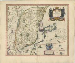
Antique Blaeu Map of China, Japan & Korea, Exotic Cartouches & Ships, c.1642

Antique Blaeu Map of China, Japan & Korea, Exotic Cartouches & Ships, c.1642

Located in Langweer, NL

Antique Blaeu Map of China, Japan & Korea, Exotic Cartouches & Ships, c.1642 A highly desirable and visually striking map of East Asia, centered on China and extending to Ko...

Category

Mid-17th Century Dutch Antique Maps

Materials

Paper

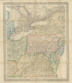
American Civil War “Seat of War” Map, Published Just After Bull Run, 1861

American Civil War “Seat of War” Map, Published Just After Bull Run, 1861

Located in Langweer, NL

American Civil War “Seat of War” Map, Published Just After Bull Run, 1861 Description: An important and highly detailed original map published at the outbreak of the American Civil ...

Category

Mid-19th Century British Victorian Antique Maps

Materials

Paper

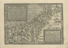
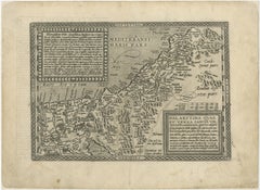
Rare 16th Century Map of the Holy Land and Palestine by Matthias Quad, ca.1599

Rare 16th Century Map of the Holy Land and Palestine by Matthias Quad, ca.1599

Located in Langweer, NL

Title: Rare 16th Century Map of the Holy Land and Palestine by Matthias Quad Description: This rare late sixteenth-century map titled Palaestina quae et Terra Sancta vel Terra Promi...

Category

16th Century German Antique Maps

Materials

Paper

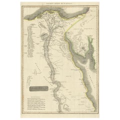
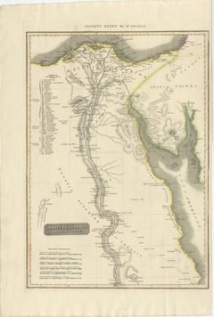
Ancient Egypt – Nile Valley Map by d’Anville, Classical Antiquity, c.1765

Ancient Egypt – Nile Valley Map by d’Anville, Classical Antiquity, c.1765

Located in Langweer, NL

Ancient Egypt – Nile Valley Map by d’Anville, Classical Antiquity, c.1765 This finely engraved map depicts Ancient Egypt as understood through classical sources, extending along the...

Category

1760s French Antique Maps

Materials

Paper

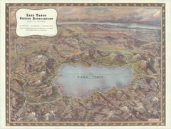
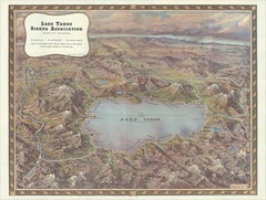
Vintage Lake Tahoe Bird’s-Eye View Pictorial Map by Gerald A. Eddy, circa 1945

Vintage Lake Tahoe Bird’s-Eye View Pictorial Map by Gerald A. Eddy, circa 1945

Located in Langweer, NL

Vintage Lake Tahoe Bird’s-Eye View Pictorial Map by Gerald A. Eddy, circa 1945 DESCRIPTION: Original vintage pictorial map of Lake Tahoe and the surrounding Sierra Nevada, painted b...

Category

Mid-20th Century American Mid-Century Modern Maps

Materials

Paper

Rare Antique Wall-Map of North America: French and Indian War Boundaries, 1793

Rare Antique Wall-Map of North America: French and Indian War Boundaries, 1793

Located in Langweer, NL

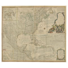
Rare 1793 Map of North America: French and Indian War Boundaries and Historical Notes This remarkable engraved map of North America, printed in 1793 by Emanuel Bowen and John Gibs...

Category

1790s Antique Maps

Materials

Paper

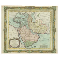
Persia Unveiled: Antique Map of Iran, Afghanistan, and Beyond, 1852

Persia Unveiled: Antique Map of Iran, Afghanistan, and Beyond, 1852

Located in Langweer, NL

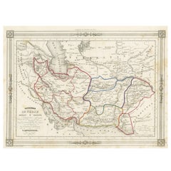
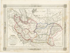
The antique map titled 'Royaumes de Perse Herat & Kaboul' is an attractive map of Persia. Here are the key details and features of the map: 1. **Geographic Coverage**: - The map ...

Category

Mid-19th Century French Antique Maps

Materials

Paper

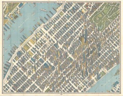
Hermann Bollmann New York City Bird’s-Eye Map for American Airlines, 1964

Hermann Bollmann New York City Bird’s-Eye Map for American Airlines, 1964

Located in Langweer, NL

Hermann Bollmann New York City Bird’s-Eye Map for American Airlines, 1964 DESCRIPTION: Original vintage pictorial map and travel guide to New York City, published for American Airli...

Category

Mid-20th Century American Mid-Century Modern Maps

Materials

Paper

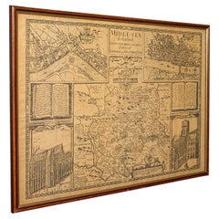
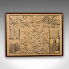
Vintage County Map, Middlesex, English, Framed 16th Century Print, John Norden

Vintage County Map, Middlesex, English, Framed 16th Century Print, John Norden

Located in Hele, Devon, GB

This is a vintage county map of Middlesex. An English, framed reproduction of the 16th century original by John Norden, dating to the late 20th century, circa 1980. A fascinating rec...

Category

1980s British Elizabethan Vintage Maps

Materials

Glass, Paper

Antique Map Eastern Mediterranean by D. Stoopendaal 'circa 1710'

Antique Map Eastern Mediterranean by D. Stoopendaal 'circa 1710'

Located in Langweer, NL

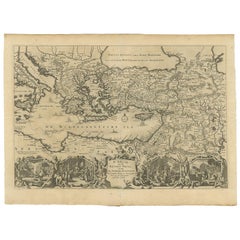
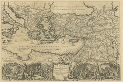
Antique map Middle East titled 'De Beschryving van de Reysen Pauli en van de Andere Apostelen'. Antique map of the Eastern Mediterranean with details of the travels by Apostle Paul...

Category

Early 18th Century Dutch Antique Maps

Materials

Paper

Antique Map of Washington, D.C., The Nation's Capital, Rand McNally, 1899

Antique Map of Washington, D.C., The Nation's Capital, Rand McNally, 1899

By Rand McNally & Co.

Located in Langweer, NL

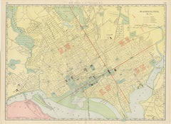
Rand McNally mapped the capital in full for this antique map of Washington, District of Columbia, a double-page plan on pages 102 and 103 of its 1899 indexed atlas, with the four qua...

Category

Late 19th Century American Late Victorian Antique Maps

Materials

Paper

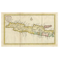
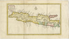
Scarce Antique Map of the Island of Java, Indonesia

Scarce Antique Map of the Island of Java, Indonesia

Located in Langweer, NL

Title: "Kaart van 't Eyland Groot Java: Antique Map of Java, Indonesia" Description: This antique map, titled "Kaart van 't Eyland Groot Java," offers a rare and valuable depiction ...

Category

Late 18th Century Antique Maps

Materials

Paper

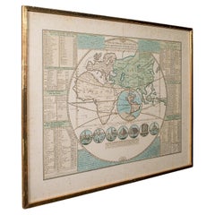
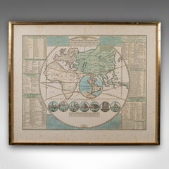
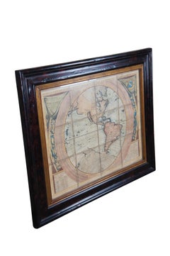
Antique Plan de l'Historie Universelle World Map, Framed Cartography, Circa 1730

Antique Plan de l'Historie Universelle World Map, Framed Cartography, Circa 1730

Located in Hele, Devon, GB

This is an antique Plan de l'Historie Universelle World Map. A Dutch, framed atlas engraving by Henri Abraham Chatelain, dating to the 18th century and later, circa 1730. Published...

Category

1730s Dutch George II Antique Maps

Materials

Glass, Paper

Antique Caracas Venezuela Monte Ávila Landscape - Tinted Lithograph, 1888

Antique Caracas Venezuela Monte Ávila Landscape - Tinted Lithograph, 1888

Located in Langweer, NL

Antique Caracas Venezuela Monte Ávila Landscape 1888 Tinted Lithograph This refined 19th-century tinted lithograph depicts a wide agricultural valley on the outskirts of Caracas, Ve...

Category

1880s Dutch Antique Maps

Materials

Paper

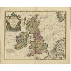
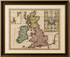
Ancient Britain & Ireland with Roman and British Coins, Weigel, 1718

Ancient Britain & Ireland with Roman and British Coins, Weigel, 1718

Located in Langweer, NL

Ancient Britain & Ireland with Roman and British Coins, Weigel, 1718 Description: A striking early 18th-century map of the British Isles as understood in antiquity, depicting Gr...

Category

Early 18th Century German Baroque Antique Maps

Materials

Paper

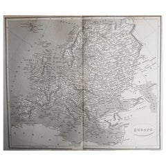
Original Antique Map of Europe, Arrowsmith, 1820

Original Antique Map of Europe, Arrowsmith, 1820

Located in St Annes, Lancashire

Great map of Europe Drawn under the direction of Arrowsmith. Copper-plate engraving. Published by Longman, Hurst, Rees, Orme and Brown, 1820 ...

Category

1820s English Antique Maps

Materials

Paper

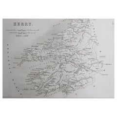
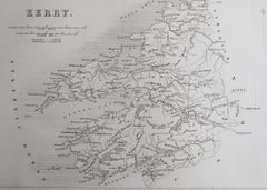
Original Antique Map of Ireland- Kerry. C.1840

Original Antique Map of Ireland- Kerry. C.1840

Located in St Annes, Lancashire

Great map of Kerry Steel engraving Drawn under the direction of A.Adlard Published by How and Parsons, C.1840 Unframed.

Category

1840s English Antique Maps

Materials

Paper

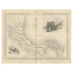
Crossroads of Empires: A John Tallis Map of the Isthmus of Panama, 1851

Crossroads of Empires: A John Tallis Map of the Isthmus of Panama, 1851

Located in Langweer, NL

The Tallis map of the Isthmus of Panama is a beautifully detailed work, characteristic of the maps produced by John Tallis & Company, which was one of the last cartographic firms to ...

Category

1850s Antique Maps

Materials

Paper

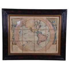
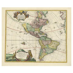
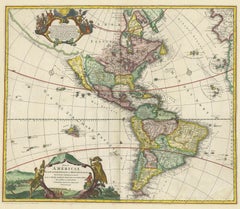
Antique Map of America with California as an Island by Homann '1710'

Antique Map of America with California as an Island by Homann '1710'

Located in Langweer, NL

This antique map, titled "Totius Americae Septentrionalis et Meridionalis," represents a significant cartographic piece from 1710 by Johann Baptist Homann. Here's a description of this remarkable map: - Title: Totius Americae Septentrionalis et Meridionalis (...) - Date: Published in 1710 by Johann Baptist Homann. Description: This map is a first edition of Johann Baptiste Homann's map of America, and it is notable for several cartographic features and historical representations: 1. California as an Island...

Category

Early 18th Century Antique Maps

Materials

Paper

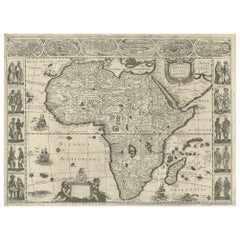
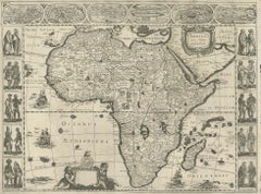
Antique Map of Africa by Janssonius, Rare Paneled Print, Circa 1655

Antique Map of Africa by Janssonius, Rare Paneled Print, Circa 1655

Located in Langweer, NL

Antique map titled 'Africa Nova Tabula Auct Jud. Hondio'. Beautiful and rare paneled map of Africa, Based Upon Hondius' map. The first derivative of the map was issued separately by ...

Category

Mid-17th Century Dutch Antique Maps

Materials

Paper

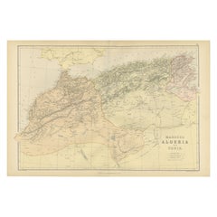
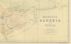
Morocco, Algeria and Tunis, Antique Map of North Africa, Blackie, 1882

Morocco, Algeria and Tunis, Antique Map of North Africa, Blackie, 1882

Located in Langweer, NL

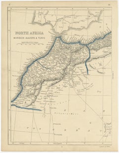
The maps is from the 1882 atlas by Blackie & Son and offers a detailed view of the North African regions as understood in the late 19th century. Map of Morocco, Algeria, and Tunis...

Category

1880s British Antique Maps

Materials

Paper

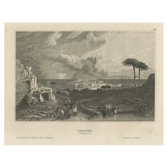
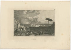
Antique View of Syracuse, Sicily, Italy, 1837

Antique View of Syracuse, Sicily, Italy, 1837

Located in Langweer, NL

Antique print titled 'Syracus'. View of Syracuse, Sicily, Italy. Originates from 'Meyers Universum'. Artists and Engravers: Joseph Meyer (May 9, 1796 - June 27, 1856) was a Germa...

Category

1830s Antique Maps

Materials

Paper

Antique Map of North Africa by Lowry '1852'

Antique Map of North Africa by Lowry '1852'

Located in Langweer, NL

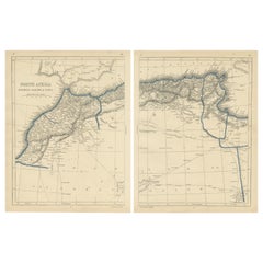
Antique map titled 'North Africa Marocco Algiers & Tunis'. Two individual sheets of North Africa. This map originates from 'Lowry's Table Atlas constructed and engraved from the most...

Category

Mid-19th Century Antique Maps

Materials

Paper

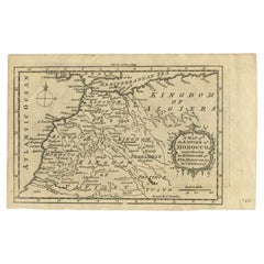
Antique Map of the Empire of Morocco by Kitchin, c.1760

Antique Map of the Empire of Morocco by Kitchin, c.1760

By Thomas Kitchin

Located in Langweer, NL

Antique map titled 'A Map of the Empire of Morocco Comprehending the Kingdoms of Fez, Morocco'. Original antique map of the kingdoms of Fez, Algiers, Segelmese, Tafilet and Morocco. ...

Category

18th Century British Antique Maps

Materials

Paper

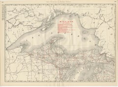
Antique Map of Northern Michigan and Lake Superior, Copper Country, 1899

Antique Map of Northern Michigan and Lake Superior, Copper Country, 1899

By Rand McNally & Co.

Located in Langweer, NL

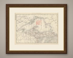
Copper country fills this antique map of Northern Michigan and Lake Superior from the Rand McNally indexed atlas of 1899, a double-page sheet on pages 222 and 223 centred on the Uppe...

Category

Late 19th Century American Late Victorian Antique Maps

Materials

Paper

Antique Map of the Peloponnese – Peloponnesus, Morea, by Cluver, ca.1697

Antique Map of the Peloponnese – Peloponnesus, Morea, by Cluver, ca.1697

Located in Langweer, NL

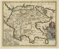
Hellas seu Graecia Universa is a finely detailed late-17th-century map of Greece and the Aegean world, issued by Philipp Cluver around 1697 (possibly 1694). The map was published in ...

Category

Late 17th Century German Antique Maps

Materials

Paper

Antique Map of Wisconsin, The Badger State, Rand McNally, 1899

Antique Map of Wisconsin, The Badger State, Rand McNally, 1899

By Rand McNally & Co.

Located in Langweer, NL

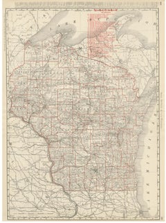
An original antique map of Wisconsin from the 1899 Rand McNally indexed atlas, this double-page sheet lays out the full state county by county, from the Lake Superior shore and the A...

Category

Late 19th Century American Late Victorian Antique Maps

Materials

Paper

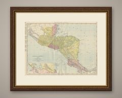
Antique Map of Central America, with Proposed Nicaragua Canal, 1899

Antique Map of Central America, with Proposed Nicaragua Canal, 1899

By Rand McNally & Co.

Located in Langweer, NL

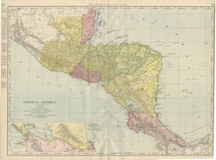
An antique map of Central America printed by Rand McNally in 1899 across pages 404 and 405 of its indexed atlas, this sheet covers the isthmus from the Mexican state of Chiapas and t...

Category

Late 19th Century American Late Victorian Antique Maps

Materials

Paper

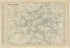
Decorative London Railway Map, Victorian Transport Plan of London & Suburbs 1885

Decorative London Railway Map, Victorian Transport Plan of London & Suburbs 1885

Located in Langweer, NL

Decorative London Railway Map, Victorian Transport Plan of London & Suburbs, 1885 A fascinating and highly decorative Victorian railway map illustrating London and its rapidly expan...

Category

Late 19th Century British Antique Maps

Materials

Paper

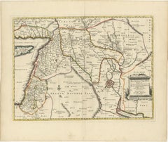
Old Map of Ancient Assyria Divided into Syria, Mesopotamia, Babylonia & Assyria

Old Map of Ancient Assyria Divided into Syria, Mesopotamia, Babylonia & Assyria

Located in Langweer, NL

This map, "Assyria vetus diuisa in Syriam, Messopotamiam, Babyloniam, et Assyriam", by Pierre Mortier, is a late 17th-century depiction of the historical Middle East. Title: Ancie...

Category

Early 1700s Antique Maps

Materials

Paper

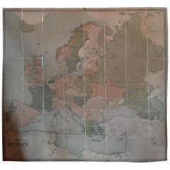
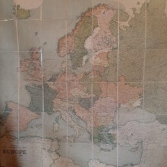
Large Wall Map of Europe by George Philip & Son, circa 1920

Large Wall Map of Europe by George Philip & Son, circa 1920

Located in Langweer, NL

Antique map titled 'Philips' New Commercial Map of Europe'. Very large wall map of Europe including the North African coast and Turkey. Decorative bord...

Category

Early 20th Century British Maps

Materials

Linen, Paper

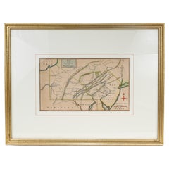
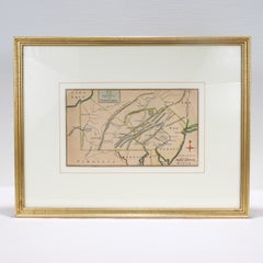
Antique 18th Century Map of the Province of Pensilvania 'Pennsylvania State'

Antique 18th Century Map of the Province of Pensilvania 'Pennsylvania State'

Located in Philadelphia, PA

A fine antique of the colony of Pennsylvania. Noted at the top of the sheet as a 'Map of the province of Pensilvania'. This undated and anonymous map is thought to be from the Gentleman's Magazine, London, circa 1775, although the general appearance could date it to the 1760's. The southern boundary reflects the Mason-Dixon survey (1768), the western boundary is placed just west of Pittsburgh, and the northern boundary is not marked. The map has a number of reference points that likely refer to companion text and appear to be connected to boundaries. The western and southern boundaries are marked Q, R, S, for example. A diagonal line runs from the Susquehanna R to the Lake Erie P. A broken line marked by many letters A, B, N, O, etc., appears in the east. There are no latitude or longitude markings, blank verso. Framed in a shaped contemporary gilt wooden frame and matted under a cream colored matte. Bearing an old Graham Arader Gallery...

Category

18th Century British American Colonial Antique Maps

Materials

Paper

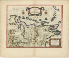
Blaeu Venezuela Map – Decorative Caribbean & Nueva Andalusia Chart 1642

Blaeu Venezuela Map – Decorative Caribbean & Nueva Andalusia Chart 1642

Located in Langweer, NL

Blaeu Venezuela Map – Decorative Caribbean & Nueva Andalusia Chart 1642 A highly decorative and historically important map of Venezuela and the northern coast of South America, publ...

Category

Mid-17th Century Dutch Antique Maps

Materials

Paper

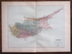
Large Original Antique Map of Cyprus. 1894

Large Original Antique Map of Cyprus. 1894

Located in St Annes, Lancashire

Superb Antique map of Cyprus Published Edward Stanford, Charing Cross, London 1894 Original colour Good condition Unframed. Free shipping

Category

1890s English Antique Maps

Materials

Paper

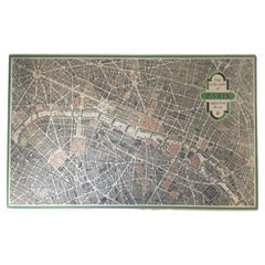
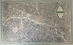
Vintage "View of the Center of Paris Taken from the Air" Lithograph Map

Vintage "View of the Center of Paris Taken from the Air" Lithograph Map

Located in San Diego, CA

A very stylish "View of the Center of Paris Taken from the Air" lithograph map published by the Paris Ministry of Tourism, circa early 1950s. The piece measures 27" x 43" and shows...

Category

20th Century French Mid-Century Modern Maps

Materials

Paper

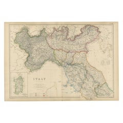
Northern Italy Map, Antique Hand-Colored Political Map, Italy Risorgimento 1860

Northern Italy Map, Antique Hand-Colored Political Map, Italy Risorgimento 1860

Located in Langweer, NL

Northern Italy Map, Antique Hand-Colored Political Map, Italy Risorgimento 1860 Description: This finely detailed antique map depicts Northern Italy during the pivotal period of Ita...

Category

Mid-19th Century British Antique Maps

Materials

Paper

Ornate 1850s Map of the United States: Featuring Iconic Landmarks and Portrets

Ornate 1850s Map of the United States: Featuring Iconic Landmarks and Portrets

Located in Langweer, NL

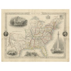
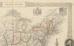
Ornate 1850s Map of the United States: Featuring Iconic Landmarks and Historical Portraits This decorative 19th-century map of the United States, created by J. Rapkin and publishe...

Category

1850s Antique Maps

Materials

Paper

Antique Map of Germany, the Netherlands, Bohemia, Bavaria and Switzerland, 1785

Antique Map of Germany, the Netherlands, Bohemia, Bavaria and Switzerland, 1785

Located in Langweer, NL

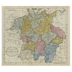
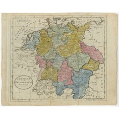
Antique map titled 'Germany and the Netherlands from the latest authorities'. Depicts Germany, the Netherlands and the surrounding region including Bohemia, Bavaria, and Switzerland....

Category

18th Century Antique Maps

Materials

Paper

Antique Map of the West Indies, with Cuba, Jamaica and Puerto Rico, 1899

Antique Map of the West Indies, with Cuba, Jamaica and Puerto Rico, 1899

By Rand McNally & Co.

Located in Langweer, NL

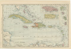
Rand McNally's antique map of the West Indies, printed in 1899 on page 401 of the firm's indexed atlas, shows the whole Caribbean basin from the Bahamas and the Straits of Florida in...

Category

Late 19th Century American Late Victorian Antique Maps

Materials

Paper

Antique Trojan War Map – Bellum Trojanum Mediterranean, Wilkinson 1815

Antique Trojan War Map – Bellum Trojanum Mediterranean, Wilkinson 1815

Located in Langweer, NL

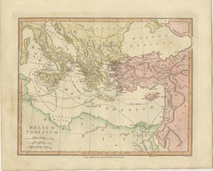
Title: Antique Trojan War Map – Bellum Trojanum Mediterranean, Wilkinson 1815 This finely engraved and delicately hand-colored antique map titled Bellum Trojanum (The Trojan War) presents the eastern Mediterranean world as understood through the legendary narratives of Homer’s Iliad and Odyssey. Published in London in 1815 by the respected British cartographer and publisher Robert Wilkinson, the map formed part of his scholarly Atlas Classica, an atlas created to illustrate the lands and geography described by ancient Greek and Roman authors. Wilkinson’s Atlas Classica was produced during a period of intense European fascination with classical antiquity. Educators, historians, and scholars sought visual tools to accompany the study of Homer, Virgil, Herodotus, and other ancient writers. This map reflects that intellectual movement by reconstructing the geography of the Mediterranean as it related to the events of the Trojan War and the legendary journeys of the heroes who emerged from it. The map spans the eastern Mediterranean basin, extending from southern Italy and Sicily in the west across Greece, the Aegean Sea, and Asia Minor to the Levant and Syria in the east. The Black Sea (Pontus Euxinus) appears in the northeast, while North Africa and the coast of Libya are visible to the south. Classical place names appear throughout the map, including Italia, Sicilia, Graecia, Macedonia, Thracia, Asia Minor, Phrygia, Lydia, and Syria. The famous site of Troy is shown on the northwestern coast of Asia Minor near the Dardanelles. A particularly fascinating feature of the map is the network of curved routes drawn across the Mediterranean Sea. These lines trace the legendary voyages of figures associated with the Trojan War cycle. Among them are the journeys of Aeneas following the fall of Troy, the travels of Telemachus searching for his father, and the long wanderings of Odysseus (Ulysses) as described in the Odyssey. These routes connect famous locations such as Troy, Crete, Sicily, Carthage, and the shores of Greece and Italy, transforming the map into a visual narrative of classical mythology. The engraving is precise and elegant, typical of late eighteenth-century British cartography. The map was engraved by E. Bourne, whose fine line work and careful lettering give the sheet a refined and scholarly appearance. Subtle contemporary hand coloring highlights the ancient regions and coastlines, adding visual clarity and decorative charm. Today the map appeals not only to collectors of antique cartography but also to those interested in classical literature, mythology, and the history of ancient Mediterranean civilizations. It provides a striking visual interpretation of the epic journeys that have shaped Western storytelling for more than two millennia. This example is an original antique map printed in 1798 and hand-colored at the time of publication. It is not a modern reproduction. Any presentation images showing the map framed are for visual inspiration only. The map is supplied unframed. Condition: Good antique condition with attractive original hand coloring. Light age toning and minor handling marks consistent with age. The sheet retains generous margins suitable for framing. Framing tips: This map frames beautifully in a dark walnut or ebonized wood frame with a generous ivory or museum-white mat. A double mat with a subtle gold inner fillet complements the warm tones of the antique paper and highlights the elegant engraving. Such a presentation works particularly well in a study, library, or classical interior setting. Keyword block: Bellum Trojanum, Trojan War map, Homer Iliad map, Odyssey map, ancient Greece map, ancient Mediterranean map, Troy map, Aeneas voyage, Odysseus voyage, Ulysses route, Telemachus journey, Atlas Classica map, Robert Wilkinson map, London 1798 map, Pontus Euxinus, Black Sea map, Aegean Sea map, Mediterranean Sea map, Sicilia, Italia, Graecia, Macedonia, Thracia, Asia Minor, Phrygia, Lydia, Syria, Crete, Carthage, Libya, ancient mythology map, classical geography map, Homeric geography, antique Mediterranean map...

Category

Early 19th Century British Antique Maps
Materials

Paper

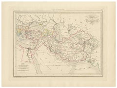
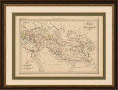
Empire d’Alexandre Map of Alexander the Great’s Empire, Paris, c.1850

Empire d’Alexandre Map of Alexander the Great’s Empire, Paris, c.1850

Located in Langweer, NL

Empire d’Alexandre Map of Alexander the Great’s Empire, Paris, c.1850 This elegant mid-19th century historical map titled “Empire d’Alexandre” depicts the vast empire and military c...

Category

Mid-19th Century French Antique Maps
Materials

Paper

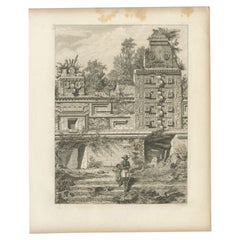
Antique Print of a Ruin in Peru, South America, 1857

Antique Print of a Ruin in Peru, South America, 1857

Located in Langweer, NL

Untitled print of a ruin in Peru. This print originates from 'Die Kunstwerke vom Alterthum bis auf die Gegenwart, oder, Wegweiser durch das ganze Gebiet der bildenden Kunst : enthalt...

Category

19th Century Antique Maps
Materials

Paper

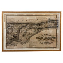
1868 Map of the Upper Part of the Island of Manhattan Above 86th Street

1868 Map of the Upper Part of the Island of Manhattan Above 86th Street

By Wm. Rogers Mfg. Co.

Located in San Francisco, CA

This wonderful piece of New York City history is over 150 years old. It depicts 86th street and above. It was lithographed by WC Rogers and company. It was made to show what was the Battle of Harlem during the Revolutionary war...

Category

1860s American American Colonial Antique Maps
Materials

Paper

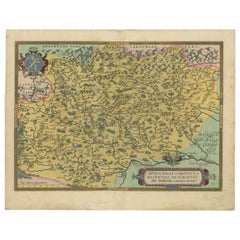
1579 Ornate Map of Burgundy County by Ferdinand de Lannoy

1579 Ornate Map of Burgundy County by Ferdinand de Lannoy

Located in Langweer, NL

1579 Ornate Map of Burgundy County by Ferdinand de Lannoy Description of the Map: This is a beautifully detailed map of the Burgundy region, titled "Bvrgvndiae Comitatus Recentiss....

Category

16th Century Antique Maps
Materials

Paper

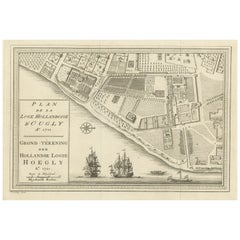
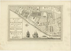
Original Antique Plan of the Dutch Settlement at Chinsura-Hooghly, India, 1746

Original Antique Plan of the Dutch Settlement at Chinsura-Hooghly, India, 1746

Located in Langweer, NL

Antique print, titled: 'Plan de la Loge Hollandoise d'Ougly'. A plan of the Dutch settlement at Chinsura-Hooghly, India. This print originates from Prevost's 'Histoire Generale d...

Category

1740s Dutch Antique Maps
Materials

Paper

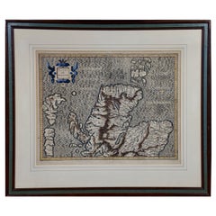
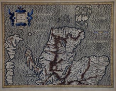
Northern Scotland: A 16th Century Hand-colored Map by Mercator

Northern Scotland: A 16th Century Hand-colored Map by Mercator

By Gerard Mercator

Located in Alamo, CA

A framed hand-colored 16th century map of Northern Scotland by Gerard Mercator entitled "Scotiae pars Septentrionalis", published in Amsterdam in 1636. It is a highly detailed map of the northern part of Scotland, with the northwest Highlands and the cities Inverness and Aberdeen, as well as the Orkney Islands and the Hebrides. There is a decorative title cartouche in the upper left corner. The map is presented in an antiqued brown wood...

Category

16th Century Dutch Antique Maps
Materials

Paper

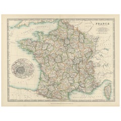
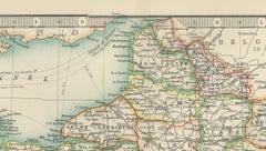
Antique Map of France, 1903, with Inset of Paris and Corsica

Antique Map of France, 1903, with Inset of Paris and Corsica

Located in Langweer, NL

Title: Antique Map of France, 1903, with Inset of Paris and Corsica Description: This antique map, titled "France," was engraved and published in 1903 by the renowned W. & A.K. John...

Category

Early 20th Century Maps

Materials

Paper

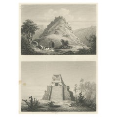
Original Rare Antique Print of Two Ruins in Mexico, 1857

Original Rare Antique Print of Two Ruins in Mexico, 1857

Located in Langweer, NL

Two images on one sheet depicting ruins in Mexico. This print originates from 'Die Kunstwerke vom Alterthum bis auf die Gegenwart, oder, Wegweiser durch das ganze Gebiet der bildende...

Category

19th Century Antique Maps
Materials

Paper

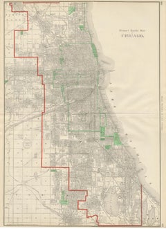
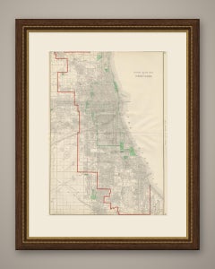
Antique Street Map of Chicago, with the Loop and Lakefront, Rand McNally, 1899

Antique Street Map of Chicago, with the Loop and Lakefront, Rand McNally, 1899

By Rand McNally & Co.

Located in Langweer, NL

Rand McNally's hometown gets full treatment in this 1899 antique map of Chicago, the "Street Guide Map of Chicago" printed across pages 206 and 207 of the firm's indexed atlas and co...

Category

Late 19th Century American Late Victorian Antique Maps
Materials
Paper