Items Similar to Antique View of Syracuse, Sicily, Italy, 1837
Want more images or videos?
Request additional images or videos from the seller
1 of 6
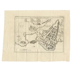
Antique View of Syracuse, Sicily, Italy, 1837
About the Item
Antique print titled 'Syracus'. View of Syracuse, Sicily, Italy. Originates from 'Meyers Universum'.
Artists and Engravers: Joseph Meyer (May 9, 1796 - June 27, 1856) was a German industrialist and publisher, most noted for his encyclopedia, Meyers Konversations-Lexikon. Meyer operated very successfully as a publisher, employing a system of serial subscription to publications, which was new at that time. To this end he founded a company, Bibliographisches Institut, in Gotha in 1826. It published several editions of the Bible, works of classical literature ("Miniatur-Bibliothek der deutschen Classiker", "Groschen-Bibliothek"), atlases, the world in pictures on steel engravings ("Meyers Universum", 1833–61, 17 volumes in 12 languages with 80,000 subscribers all over Europe), and an encyclopaedia.
- Dimensions:Height: 7.29 in (18.5 cm)Width: 10.63 in (27 cm)Depth: 0 in (0.02 mm)
- Materials and Techniques:
- Period:
- Date of Manufacture:1837
- Condition:Condition: Good, general age-related toning. Minor wear and foxing. Blank verso, please study image carefully.
- Seller Location:Langweer, NL
- Reference Number:
About the Seller
5.0
Platinum Seller
These expertly vetted sellers are 1stDibs' most experienced sellers and are rated highest by our customers.
Established in 2009
1stDibs seller since 2017
1,928 sales on 1stDibs
Typical response time: <1 hour
- ShippingRetrieving quote...Ships From: Langweer, Netherlands
- Return PolicyA return for this item may be initiated within 14 days of delivery.
More From This SellerView All
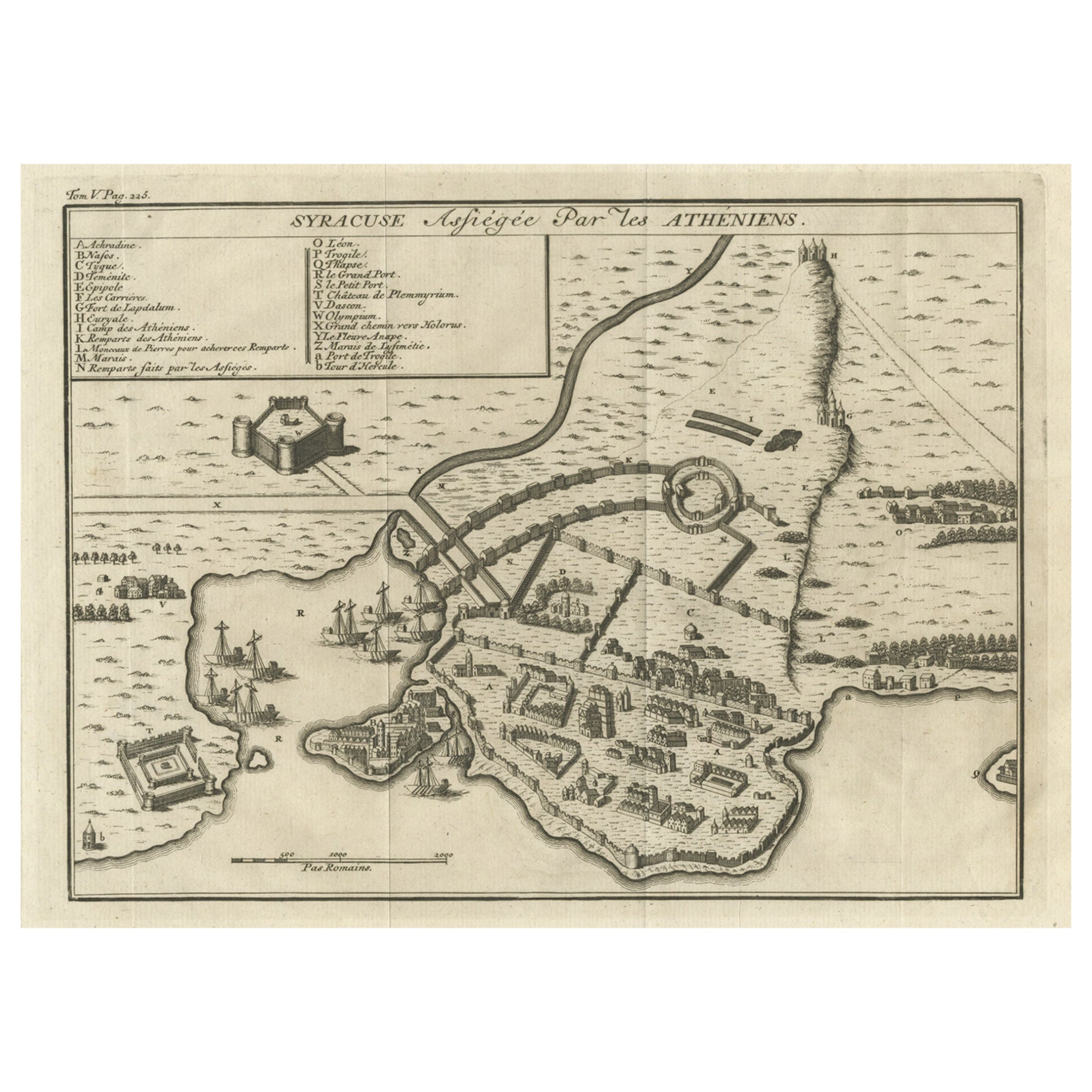
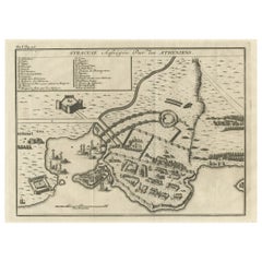
- Old Copper Engraving of the Siege of Syracuse, Sicily, Italy, Published, ca.1740Located in Langweer, NLAntique print titled 'Syracuse, Assiégée par les Atheniens'. Old print of the siege of Syracuse, Sicily, Italy. Source unknown, to be determined. The siege of Syracuse by the...Category
Antique 1740s Maps
MaterialsPaper
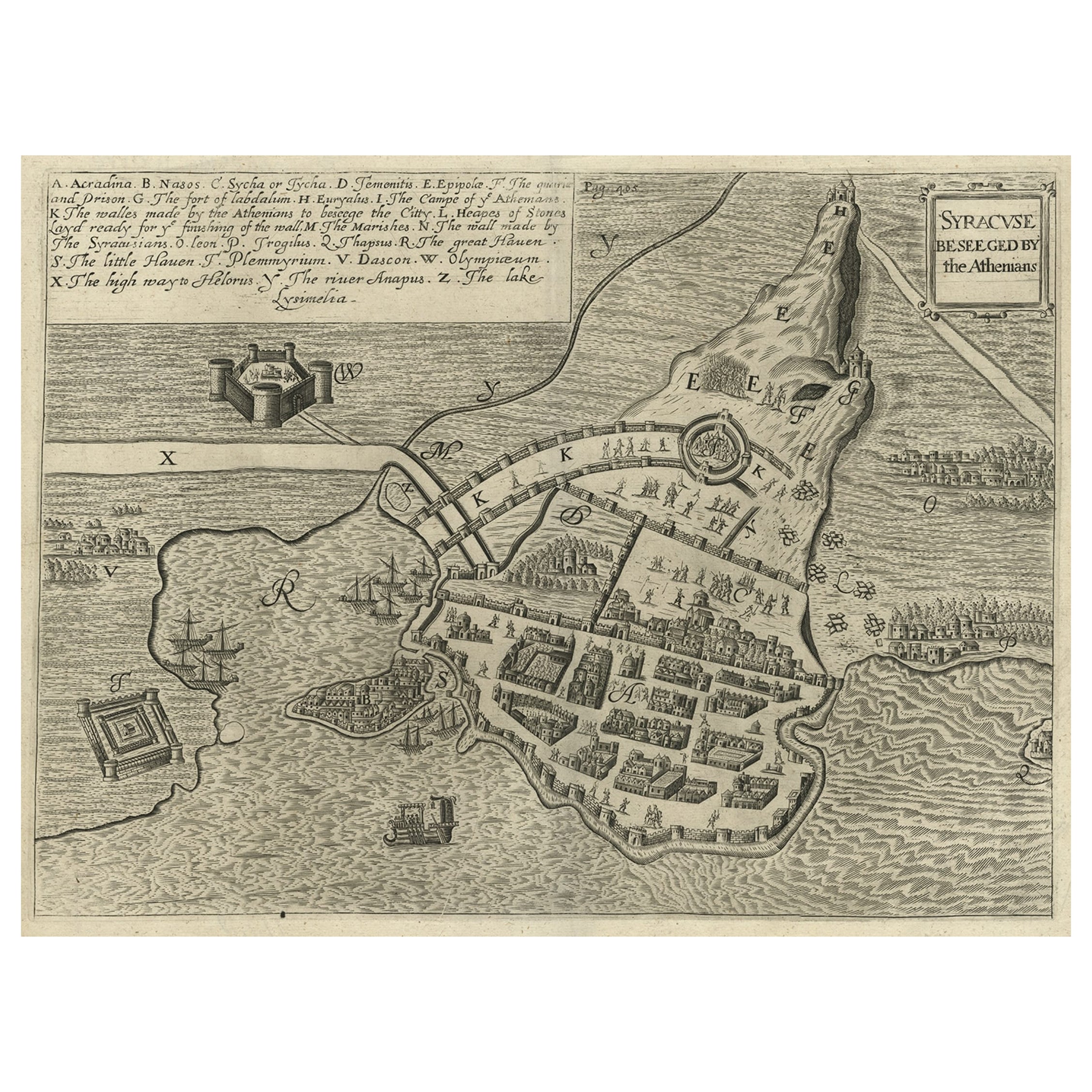
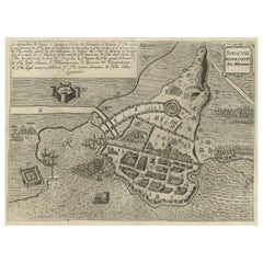
- Antique Map of the Siege of Syracuse, Sicilia, Italy, 'ca.1675'Located in Langweer, NLAntique map titled 'Syracus beseeged by the Athenians.' This original uncommon antique map shows the siege of Syracuse, Italy, by the Athenians. Key top left. The siege of Syracus...Category
Antique 1670s Maps
MaterialsPaper
- Antique Plan of Ancient Syracuse, Plan of ancient Syracuse, Sicily, ItalyLocated in Langweer, NLAntique print titled 'Plan de l'Ancienne Ville de Syracuse'. Plan of ancient Syracuse, Sicily, Italy. This print originates from 'Histoire Universelle (..)'. Artists and Engravers...Category
Antique 18th Century Maps
MaterialsPaper
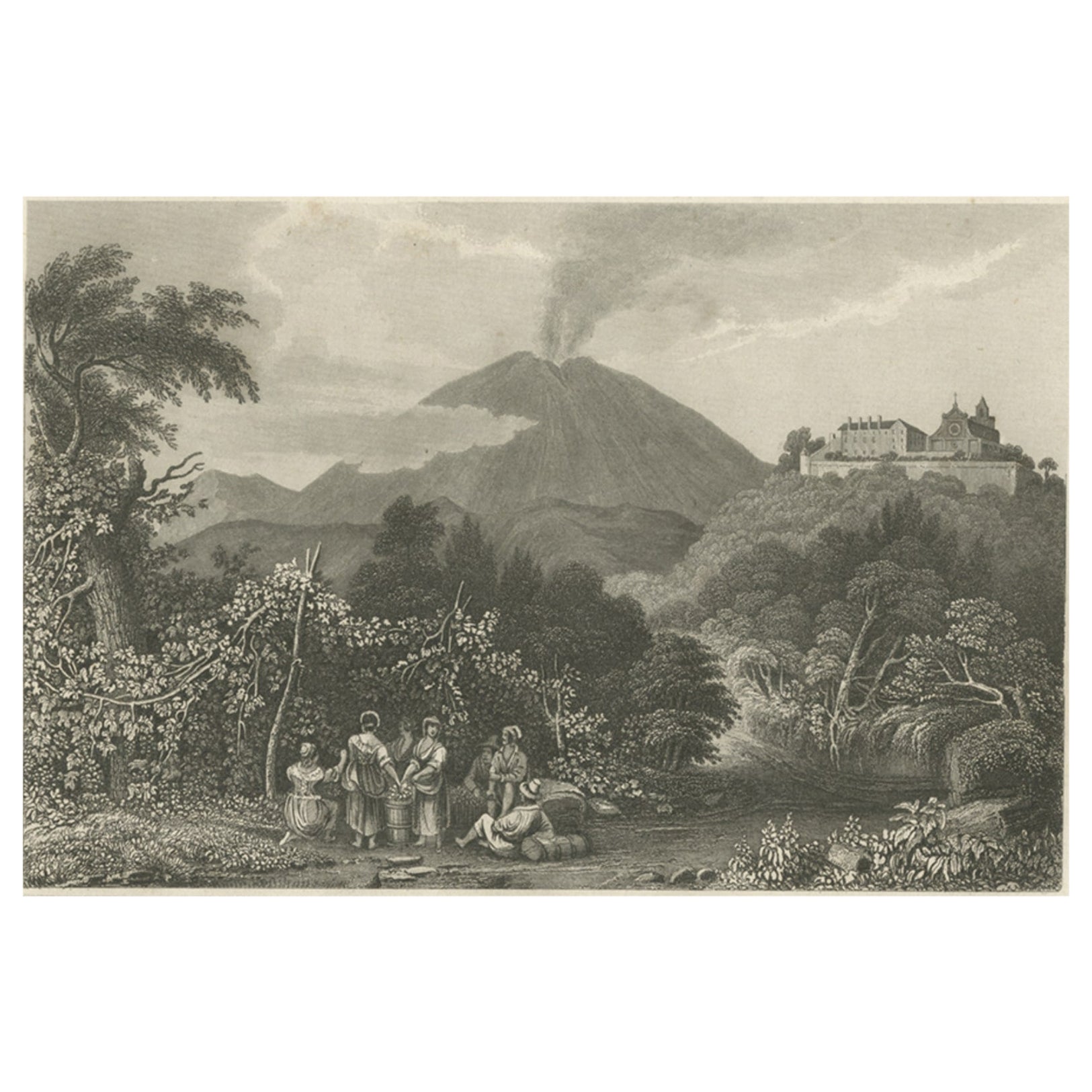
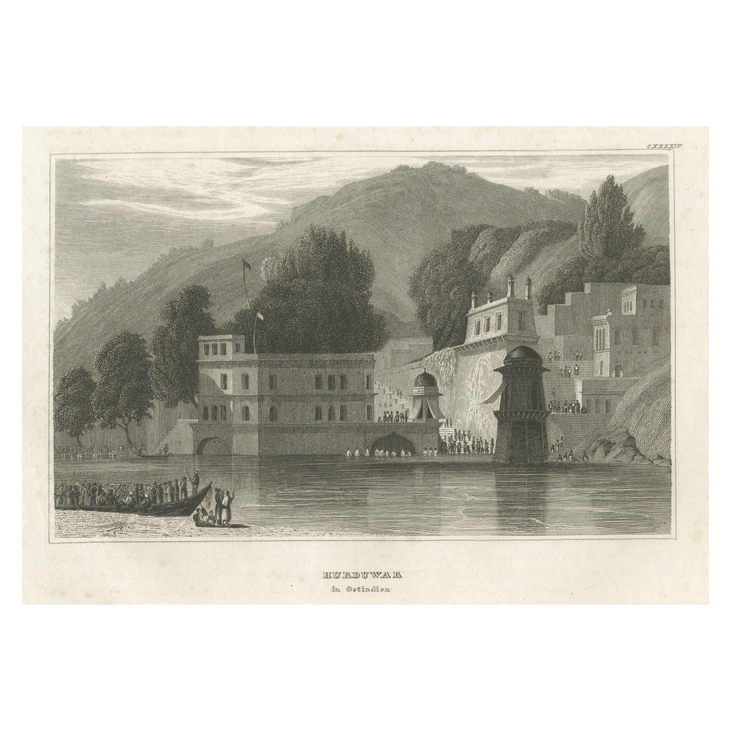
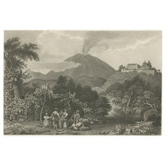
- Antique Print of Monastery St Angelo Near Naples in Italy, 1837Located in Langweer, NLAntique print titled 'Kloster St. Angelo bei Neapel'. View of a monastery near Naples, Italy. Originates from 'Meyers Universum'. Artists and Engravers: Joseph Meyer (May 9, 1796 ...Category
Antique 19th Century Prints
MaterialsPaper
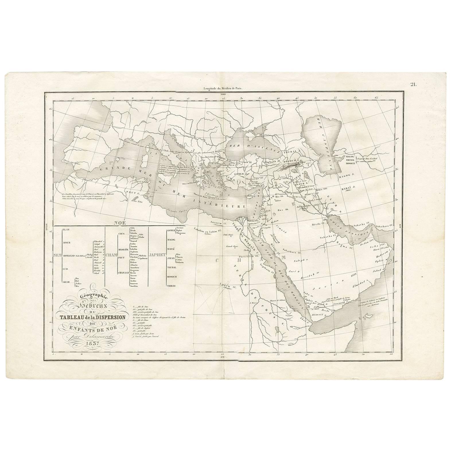
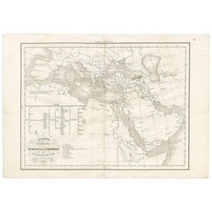
- Antique Map of Southern Europe by F. Delamarche, 1837Located in Langweer, NLTitle: Géographie des Hébreux ou Tableau de la Dispersion des enfants de Noé - **Origin**: From 'Atlas De La Géographie Ancienne' by F. Delamarche - **Date of Publication**: 1837 D...Category
Antique Mid-19th Century Maps
MaterialsPaper
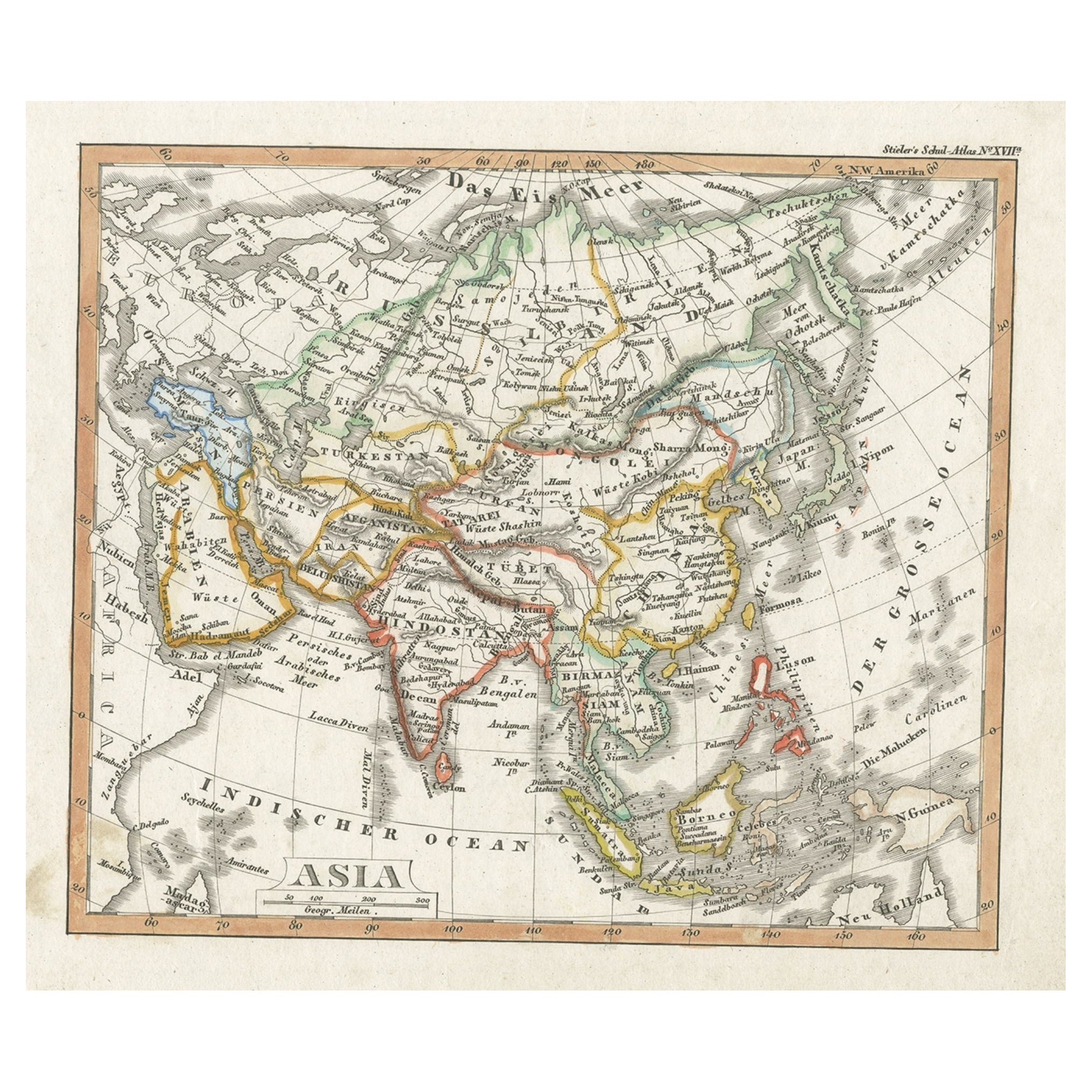
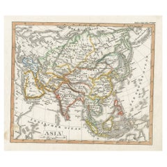
- Charming Scarce Small Antique Map of Asia, 1837Located in Langweer, NLAntique map titled ‘Asia‘. Scarce and charming little mid-19th century antique map of Asia. Noteworthy for the early date and scarcity factor, from a small pocket sized school atlas ...Category
Antique 19th Century Maps
MaterialsPaper
You May Also Like
- Italy, Sicily, Sardinia, Corsica and Dalmatian Coast: A 17th Century Dutch MapBy Theodorus DanckertsLocated in Alamo, CAThis hand colored 17th century Dutch map entitled "Novissima et Accuratissima totius Italiae Corsicae et Sardiniae Descriptio" by Theodore Danckerts depicts the Italian Peninsula in ...Category
Antique Late 17th Century Dutch Maps
MaterialsPaper
- Original Antique Map of Italy. C.1780Located in St Annes, LancashireGreat map of Italy Copper-plate engraving Published C.1780 Unframed.Category
Antique Early 1800s English Georgian Maps
MaterialsPaper

- N.E. View of the United States Capitol, Washington, DC Antique Proof Print 1858Located in Colorado Springs, COThis engraved print shows a view of the United States Capitol Building, in Washington, D.C. The print depicts the neoclassical building from the northeast orientation, with a bustling street scene in front. The steel engraving is a proof printing, drawn and engraved by Henry Sartain and published in 1858. Plans began in May 1854 to build a new cast-iron dome for the United States Capitol. The then-architect of the Capitol Thomas Walter and his team were sold on the aesthetics of a new dome, as well as the utility of a fire-proof one. A year later, on March 3, 1855, President Franklin Pierce...Category
Antique 1850s American Prints
MaterialsPaper
- Original Antique Map of Italy. Arrowsmith. 1820Located in St Annes, LancashireGreat map of Italy Drawn under the direction of Arrowsmith Copper-plate engraving Published by Longman, Hurst, Rees, Orme and Brown, 1820 Unframed.Category
Antique 1820s English Maps
MaterialsPaper
- Antique Map of Italy by Andriveau-Goujon, 1843By Andriveau-GoujonLocated in New York, NYAntique Map of Italy by Andriveau-Goujon, 1843. Map of Italy in two parts by Andriveau-Goujon for the Library of Prince Carini at Palazzo Carini i...Category
Antique 1840s French Maps
MaterialsLinen, Paper
- McKenney and Hall Hand-Painted Lithograph "Chippeway Widow", circa 1837By McKenney & HallLocated in Incline Village, NV"Chippeway Widow" hand-painted color lithograph on paper depicts a Native American Indian woman lamenting the death of her husband, presum...Category
Antique 1830s Native American Prints
MaterialsPaper


Recently Viewed
View AllMore Ways To Browse
Syracuse Used Furniture
Antique Classical Engraving
Meyer May
Syracuse Antique
European Antique Imports
Flower Wall Sculptures
Floral 90s
Tree Ring
Vintage Industrial Cabinet 20th Century
Antique Aubusson Tapestries
Antique Aubusson Tapestry
Regency Chest Commode
Opera Gold
Pair Deco Cabinets
Art Deco Door Handles
Retro Woven Tapestry
Antique For Men
Designer Wallpaper