Items Similar to Original Antique Plan of the Dutch Settlement at Chinsura-Hooghly, India, 1746


Want more images or videos?
Request additional images or videos from the seller
1 of 5
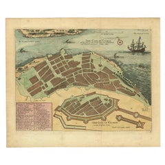
Original Antique Plan of the Dutch Settlement at Chinsura-Hooghly, India, 1746
About the Item
Antique print, titled: 'Plan de la Loge Hollandoise d'Ougly'.
A plan of the Dutch settlement at Chinsura-Hooghly, India. This print originates from Prevost's 'Histoire Generale des Voyages' (Paris 1746-1759).
Artists and Engravers: Jakob van der Schley (Amsterdam 1715-1779) was a Dutch draughtsman and engraver. He studied under Bernard Picart and became heavily influenced by his style.
- Dimensions:Height: 9.97 in (25.3 cm)Width: 13.94 in (35.4 cm)Depth: 0 in (0.02 mm)
- Materials and Techniques:
- Period:1740-1749
- Date of Manufacture:1746
- Condition:Wear consistent with age and use. Condition: Very good, given age. Vertical folds, as issued. Some soiling of the margins. General age-related toning and/or occasional minor defects from handling. Blank verso. Please study image carefully.
- Seller Location:Langweer, NL
- Reference Number:
About the Seller
5.0
Platinum Seller
These expertly vetted sellers are 1stDibs' most experienced sellers and are rated highest by our customers.
Established in 2009
1stDibs seller since 2017
1,932 sales on 1stDibs
Typical response time: <1 hour
- ShippingRetrieving quote...Ships From: Langweer, Netherlands
- Return PolicyA return for this item may be initiated within 14 days of delivery.
More From This SellerView All
- Original Antique Map of the Cape Verde Islands, 1746Located in Langweer, NLAntique map titled 'Carte Des Isles Du Cap Verd.' Original antique map of the Cape Verde Islands. Decorative cartouche and compass rose. Extends from Isle d...Category
Antique 18th Century Maps
MaterialsPaper
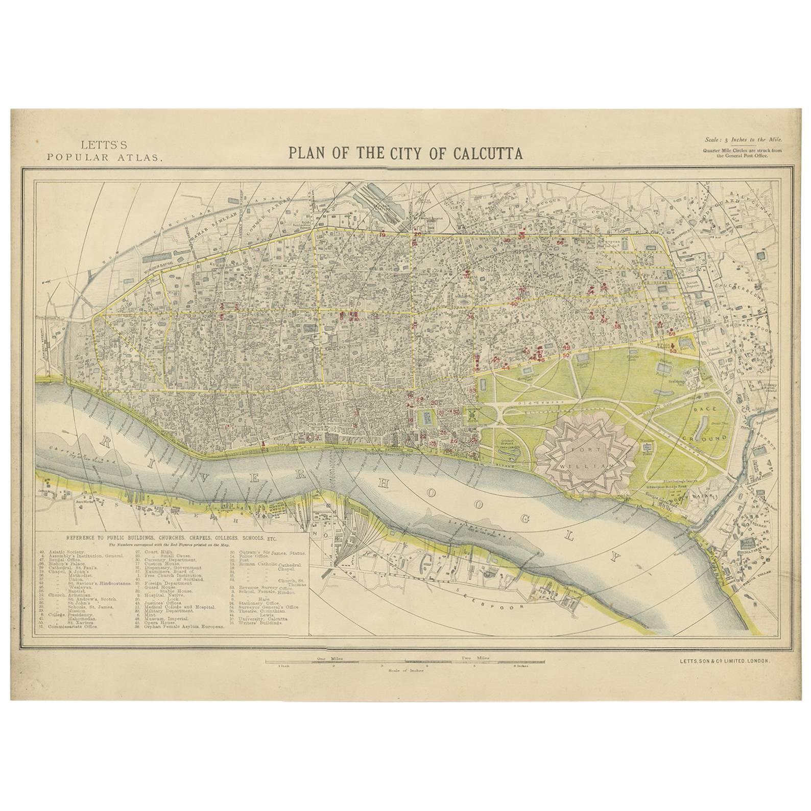
- Antique Plan of the City of Calcutta 'India' by Letts, 1883Located in Langweer, NLBeautiful colored plan showing buildings (with key), Fort William, race ground, canals, railroads, etc. This plan originates from Letts's Popular Atlas.Category
Antique Late 19th Century Maps
MaterialsPaper
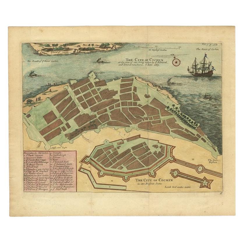
- Very Attractive Handcolored Antique Plan of Cochin in India, 1744By Philip BaldaeusLocated in Langweer, NLAntique map titled 'The City of Cochin (..).' Plan of Cochin, Malabar Coast, India, during the attack by Admiral van Goens in 1663. This map was published in 'The True and Exact Desc...Category
Antique 18th Century Maps
MaterialsPaper
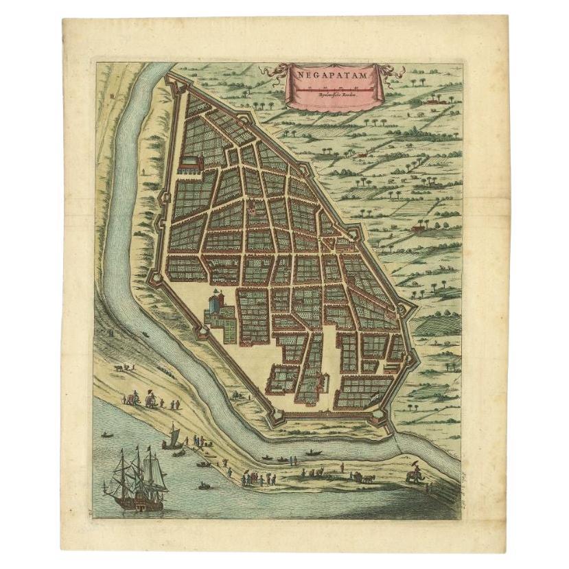
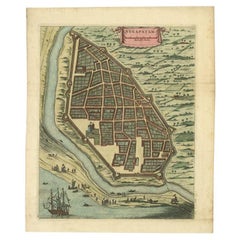
- Attractive Hand-Colored Antique Plan of Nagapattinam in India, 1744Located in Langweer, NLAntique map titled 'Negapatam.' Attractive bird's-eye view of Nagapattinam, India from Churchill's 'A Collection of Voyages and Travels, some now first printed from original manuscri...Category
Antique 18th Century Maps
MaterialsPaper
- Original Antique Map of Northern IndiaBy Jakob van der SchleyLocated in Langweer, NLAntique map titled 'Carte de l'Indoustan (..) - Kaart van Hindoestan (..)'. Original antique map of northern India. This map originates from 'His...Category
Antique Mid-18th Century Maps
MaterialsPaper
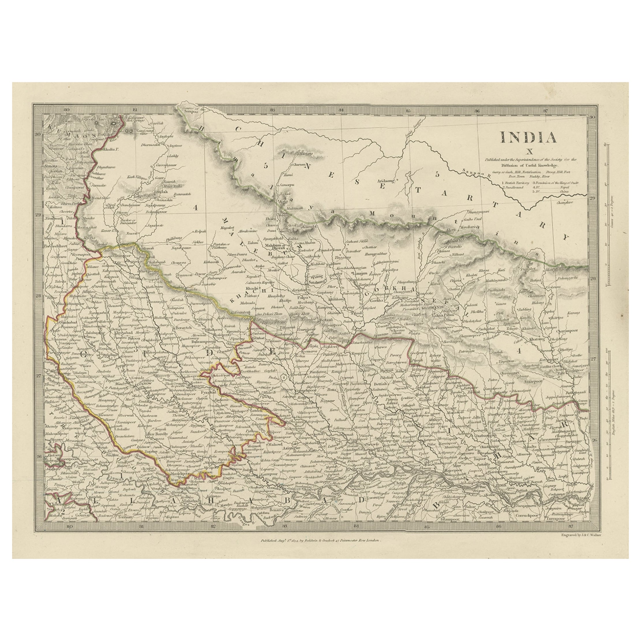
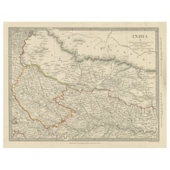
- Original Antique Map of Part of the Bahar Region (India), 1834Located in Langweer, NLAntique map titled 'India X'. Old steel engraved map of part of the Bahar region, it also shows part of Nepal. Artists and Engravers: Engraved by J. & C. Walker. Published under th...Category
Antique 19th Century Maps
MaterialsPaper


You May Also Like
- Original Antique Map / City Plan of Brussels by Tallis, circa 1850Located in St Annes, LancashireGreat map of Brussels. Steel engraving. Published by London Printing & Publishing Co. (Formerly Tallis), C.1850 Free shipping.Category
Antique 1850s English Maps
MaterialsPaper
- The Holy Land at the Time of Jesus: A 17th Century Dutch Map by VisscherBy Nicolaes Visscher IILocated in Alamo, CAThis detailed Dutch map entitled "Het Beloofe de Landt Canaan door wandelt van onsen Salichmaecker Iesu Christo, nessens syne Apostelen" by Nicolaes Visscher was published in Amsterd...Category
Antique Mid-17th Century Dutch Maps
MaterialsPaper
- Original Antique Map of The World by Thomas Clerk, 1817Located in St Annes, LancashireGreat map of The Eastern and Western Hemispheres On 2 sheets Copper-plate engraving Drawn and engraved by Thomas Clerk, Edinburgh. Published by Mackenzie And Dent, 1817 ...Category
Antique 1810s English Maps
MaterialsPaper
- Dutch Map and City Plan of La Roche-sur-Foron, France, 17th Century Hand ColoredBy Coenraet DeckerLocated in Alamo, CA"Rupes Allobrogum vulgo La Roche" by Dutch engraver Coenraet Decker (1650-1685) is from the atlas Theatrum Statuum Regiae Celestudinis Sabaudiae Ducis, published in 1682. This richly...Category
Antique Late 17th Century Dutch Maps
MaterialsPaper
- Original Antique Map of The Netherlands, Engraved by Barlow, Dated 1807Located in St Annes, LancashireGreat map of Netherlands Copper-plate engraving by Barlow Published by Brightly & Kinnersly, Bungay, Suffolk. Dated 1807 Unframed.Category
Antique Early 1800s English Maps
MaterialsPaper
- Original Antique Map of The Netherlands, Sherwood, Neely & Jones, Dated 1809Located in St Annes, LancashireGreat map of The Netherlands Copper-plate engraving by Cooper Published by Sherwood, Neely & Jones. Dated 1809 Unframed.Category
Antique Early 1800s English Maps
MaterialsPaper


