128 results for "antique world map poster"

to
3
118
10

Use search to find more

78
46
30
21
19
16
12
12
10
8
8
8
8
6
5
4
4
3
3
3
2
2
2
2
1
1
1
1
1
1
1
1
1
1
1
1
8
2
1
1
1

Use search to find more

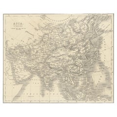
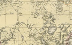
Antique Map of Asia by Young, c.1860

Antique Map of Asia by Young, c.1860

Located in Langweer, NL

Antique map titled 'Asia'. Steel engraved map of Asia by Francis Young. Artists and Engravers: Engraved by Lewis Becker. Published by S.O. Beeton. We sell original antique maps to...

Category

Antique 19th Century Maps

Materials

Paper

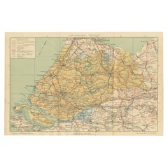
Antique Dutch Map of Zuid-Holland & Utrecht – Sleeswijk Provincial Atlas, 1914

Antique Dutch Map of Zuid-Holland & Utrecht – Sleeswijk Provincial Atlas, 1914

Located in Langweer, NL

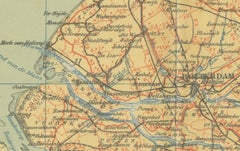
Antique Map of Zuid-Holland & Utrecht – Sleeswijk Atlas, 1914 This antique map of Zuid-Holland and Utrecht was published in 1914 in the well-known Sleeswijk Atlas, a Dutch school at...

Category

Early 20th Century Dutch Maps

Materials

Paper

Antique Street Map of the City of Edo 'Modern Tokyo' in Japan

Antique Street Map of the City of Edo 'Modern Tokyo' in Japan

Located in Langweer, NL

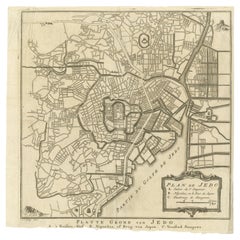
Antique map titled 'Plan de Jedo - Platte Grond van Jedo'. A detailed street map of the city of Edo (modern Tokyo) in Japan, originally engraved by Bellin and Schley and reissued for...

Category

Antique Mid-18th Century Maps

Materials

Paper

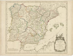
Large Antique Map of Ancient Spain and Portugal, Published in circa 1760

Large Antique Map of Ancient Spain and Portugal, Published in circa 1760

Located in Langweer, NL

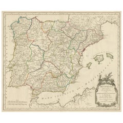
Antique map titled 'Hispania Antiqua (..)'. Map of ancient Spain and Portugal. Engraved by G. Delahaye. Published circa 1760, by or after Sanson & Vaugondy.

Category

Antique Mid-18th Century Maps

Materials

Paper

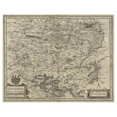
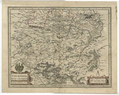
Detailed Original Antique Map of Thuringia, Germany by J. Janssonius, ca.1650

Detailed Original Antique Map of Thuringia, Germany by J. Janssonius, ca.1650

Located in Langweer, NL

Antique map titled 'Thuringiae Nova Descriptio.' Detailed map of Thuringia, Germany by J. Janssonius. With one cartouche, coat-of-arms and a mileage scale. With Erfurt in the centre....

Category

Antique 1650s Maps

Materials

Paper

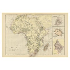
Antique Old Map of Africa with Insets of Mauritius, Reunion and Natal, 1882

Antique Old Map of Africa with Insets of Mauritius, Reunion and Natal, 1882

Located in Langweer, NL

The uploaded image is a historical map of Africa from the 1882 atlas by Blackie & Son. The map includes the entire African continent, with various countries, regions, and topographic...

Category

Antique 1880s Maps

Materials

Paper

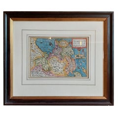
Antique Map of Friesland by Bussemacher in Frame, c.1592

Antique Map of Friesland by Bussemacher in Frame, c.1592

Located in Langweer, NL

Original antique map titled 'Frisiae Antiquissimae (..)'. Original antique map of Friesland. Published by J. Bussemacher, circa 1592. Artists and Engravers: Bussemacher was active as...

Category

Antique 18th Century Maps

Materials

Paper

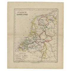
Antique Map of the Netherlands in 1839 by Mees, 1860

Antique Map of the Netherlands in 1839 by Mees, 1860

Located in Langweer, NL

Antique map titled 'Noord-Nederland in 1839. De scheiding van België'. Map of the Netherlands in 1839. This map originates from 'Historische Atlas van Noord-Nederland'. Artists a...

Category

Antique 19th Century Maps

Materials

Paper

Antique Map of the Ooststellingwerf Township Friesland by Halma, 1718

Antique Map of the Ooststellingwerf Township Friesland by Halma, 1718

Located in Langweer, NL

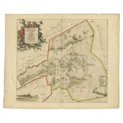
Antique map titled 'Stellingwerf Oost-Eynde, de negende Grietenije van de Sevenwolden'. This regional map of the Oost Stellingwerf Grietenij, part of the Province of Friesland, The N...

Category

Antique 18th Century Maps

Materials

Paper

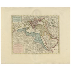
Original Antique Map of the Turkish Empire by I. Tirion, 1760, Wall Art Decor

Original Antique Map of the Turkish Empire by I. Tirion, 1760, Wall Art Decor

Located in Langweer, NL

Antique map titled 'Nieuwe Kaart van het Turksche Ryk gelegen in Europa, Asia en Africa'. Original antique map of the Turkish Empire. The map is centered on the Mediterranean Sea but...

Category

Antique Mid-18th Century Dutch Maps

Materials

Paper

Antique Map of Southern Scotland, 1903, with Coastal and Inland Details

Antique Map of Southern Scotland, 1903, with Coastal and Inland Details

Located in Langweer, NL

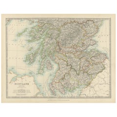
Title: Antique Map of Southern Scotland, 1903, with Coastal and Inland Details Description: This exquisite antique map, titled "Scotland (Southern Sheet I)," was engraved and publis...

Category

Early 20th Century Maps

Materials

Paper

Antique Map Showing the Distribution of the Currents of Air by Johnston '1850'

Antique Map Showing the Distribution of the Currents of Air by Johnston '1850'

Located in Langweer, NL

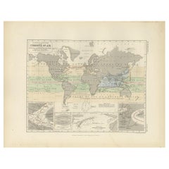
Antique map titled 'Geographical Distribution of the Currents of Air'. Original antique map showing the distribution of the currents of air. This map originates from 'The Physical At...

Category

Antique Mid-19th Century Maps

Materials

Paper

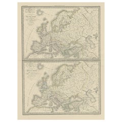
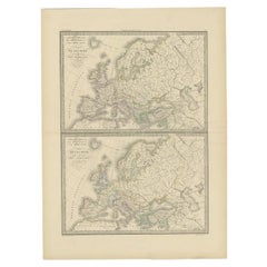
Two Antique Maps of Europe on One Sheet in Different Time Periods, 1842

Two Antique Maps of Europe on One Sheet in Different Time Periods, 1842

Located in Langweer, NL

Antique map titled 'Carte de l'Europe'. Two maps of Europe. The upper map depicts Europe in the year 350, the lower map depicts Europe in the 5th century. This map originates from 'A...

Category

Antique 19th Century French Maps

Materials

Paper

Antique Map of the South Eastern United States with Cape Hatteras, circa 1860

Antique Map of the South Eastern United States with Cape Hatteras, circa 1860

Located in Langweer, NL

This is an original antique engraved map, colored by hand, from Fullarton's Companion Atlas to the Gazetteer of the World. The engraved title reads "UNITED STATES NORTH AMERICA", wit...

Category

Antique Mid-19th Century British Maps

Materials

Paper

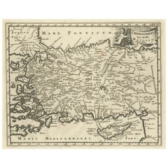
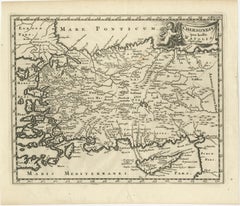
Antique Map of Asia Minor with part of the Greek Archipelago and Cyprus, 1729

Antique Map of Asia Minor with part of the Greek Archipelago and Cyprus, 1729

Located in Langweer, NL

Antique map titled 'Chersonesi quae hodie Natolia Descriptio'. Decorative, smaller map of Asia Minor including part of the Greek Archipelago and Cyprus. The drape-style title cartouc...

Category

Antique Mid-18th Century German Maps

Materials

Paper

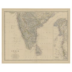
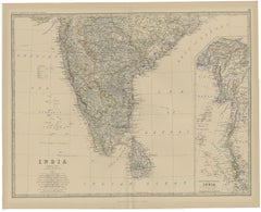
Old Map of Southern India and Ceylon 'Sri Lanka', 1882

Old Map of Southern India and Ceylon 'Sri Lanka', 1882

Located in Langweer, NL

Antique map titled 'India (Southern Sheet)'. Old map of Southern India and Ceylon (Sri Lanka). With an inset map of the South-Eastern Provinces of India. This map originates from...

Category

Antique 1880s Maps

Materials

Paper

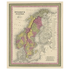
Old Colourful Map of Sweden and Norway, 1846

Old Colourful Map of Sweden and Norway, 1846

Located in Langweer, NL

Antique map titled 'Sweden & Norway'. Old map of Sweden and Norway. This map originates from 'A New Universal Atlas Containing Maps of the various Em...

Category

Antique 1840s Maps

Materials

Paper

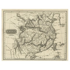
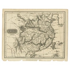
Old Map of the Mainland of China and the Islands of Formosa or Taiwan, c.1817

Old Map of the Mainland of China and the Islands of Formosa or Taiwan, c.1817

Located in Langweer, NL

Antique map titled 'China'. Old map of the mainland of China and the islands of Formosa or Taiwan. This map originates from 'Universal Geography' by T. Kelly. Artists and Engrave...

Category

Antique 19th Century Maps

Materials

Paper

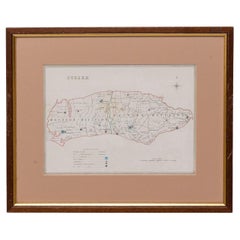
Map Sussex
Map Sussex

Map Sussex

Located in BUNGAY, SUFFOLK

Map of Sussex with explanation Maker unknown.  

Category

Antique 19th Century English Victorian Maps

Materials

Paper

Beautiful Bird's-Eye View Plan of Enkhuizen in The Netherlands by Blaeu, 1649

Beautiful Bird's-Eye View Plan of Enkhuizen in The Netherlands by Blaeu, 1649

Located in Langweer, NL

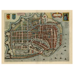
Antique print, titled: 'Topograhpiae Enchusae.' Bird's-eye view plan of Enkhuizen in The Netherlands, with key to locations and coats of arms. Text in Dutch on verso. This plan o...

Category

Antique 1640s Maps

Materials

Paper

Old Map of Part of France: Poitou, Berry, Bourbonnais, and Nivernais in 1768

Old Map of Part of France: Poitou, Berry, Bourbonnais, and Nivernais in 1768

Located in Langweer, NL

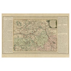
The map with text neatly mounted on both sides of the map on the plate, is a section of an old map with accompanying French text. The map mentions several historical French provinces...

Category

Antique 1760s Maps

Materials

Paper

Circa 1950 original poster by Luc-Marie Bayle for TAI - World map

Circa 1950 original poster by Luc-Marie Bayle for TAI - World map

By Lue Marie Bayle

Located in PARIS, FR

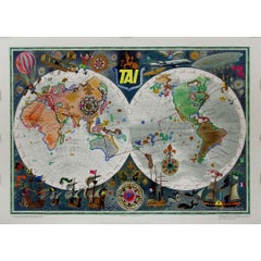
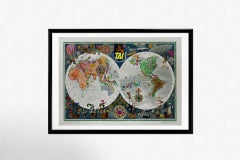
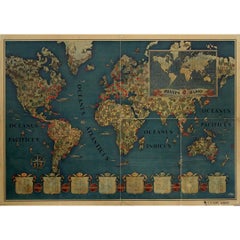
This circa 1950 original poster, created by Luc-Marie Bayle, celebrates the global reach of TAI (Transports Aériens Intercontinentaux), one of France’s pioneering airline companies. ...

Category

1950s Prints and Multiples

Materials

Paper, Lithograph

Lleida 1902: A Cartographic Perspective of Catalonia's Gateway to the Pyrenees

Lleida 1902: A Cartographic Perspective of Catalonia's Gateway to the Pyrenees

Located in Langweer, NL

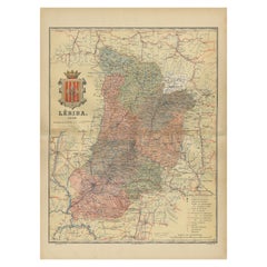
The map for sale shows the province of Lleida, located in the western part of Catalonia, Spain, as of 1902. Here are the key features depicted on the map: - **Topography**: The map ...

Category

Antique Early 1900s Maps

Materials

Paper

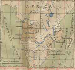
Colonial Crossroads: Angola and Mozambique in 1903

Colonial Crossroads: Angola and Mozambique in 1903

Located in Langweer, NL

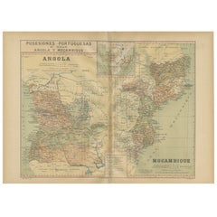
The image for sale is an original historical map from 1903 that shows the Portuguese colonies of Angola on the left and Mozambique on the right. These two territories on the African ...

Category

Antique Early 1900s Maps

Materials

Paper

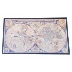
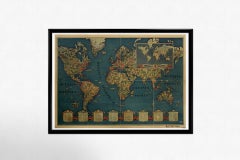
1864 Map Of The World 1648 Roberts Maps 2018 Limited Edition Print 6 of 100

1864 Map Of The World 1648 Roberts Maps 2018 Limited Edition Print 6 of 100

Located in Los Angeles, CA

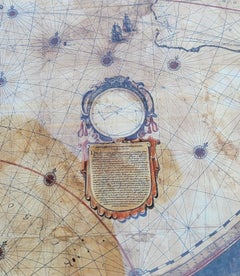
Large World map in Latin. This world map 6th out of 100 made. Bottom right shows maker. many different World landmarks. Small Descriptions on Latin, as shown in images. A great piece...

Category

21st Century and Contemporary American Folk Art Picture Frames

Materials

Plexiglass, Wood, Paper

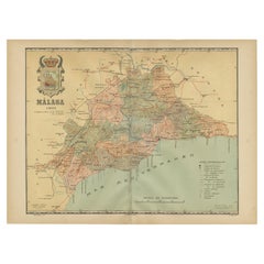
Málaga 1901: A Cartographic Detailing of Andalusia's Coastal Jewel

Málaga 1901: A Cartographic Detailing of Andalusia's Coastal Jewel

Located in Langweer, NL

The map depicts the province of Málaga, located in the autonomous community of Andalusia in southern Spain, as it was in 1901. Here are the key features illustrated on the map: - **...

Category

Antique Early 1900s Maps

Materials

Paper

Large University Chart “Africa Physical ” by Bacon

Large University Chart “Africa Physical ” by Bacon

Located in Godshill, Isle of Wight

Large University chart “Africa Physical ” by Bacon W&A K Johnston’s charts of physical maps by G W Bacon, This is a Physical map of Africa, it is lithograph set on Linen mounte...

Category

Early 20th Century Beaux Arts Maps

Materials

Linen

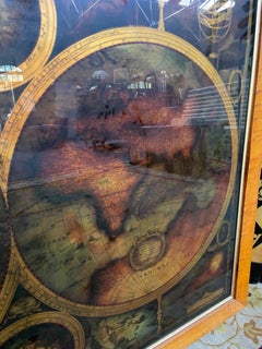
World map in eglomised glass

World map in eglomised glass

Located in NAVILLY, FR

Poster - world map in eglomised glass. Dimensions: 115 x 90 x 3 cm. Weight: 5 kg. In good condition.

Category

Early 20th Century French Decorative Art

Materials

Glass

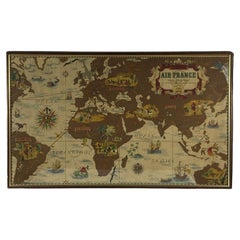
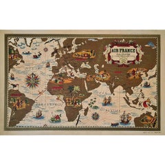
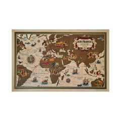
Lucien Boucher, Air France 'Nova et Vetera' Poster Map, Paris France, 1939

Lucien Boucher, Air France 'Nova et Vetera' Poster Map, Paris France, 1939

By Lucien Boucher

Located in Firenze, IT

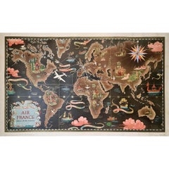
Air France 'Nova et Vetera' poster map designed by Lucien Boucher Paris France 1939 Advertising poster designed by Lucien Boucher for the Air France company and published in Paris by Perceval in 1939 at the dawn of World War II. It is one of the very first maps in the world of the French airline, founded in October 1933, to show its air routes from its Paris hub to major locations around the world. The Paris-New York route, still under study in 1939 (it would open in 1946), is shown here with a dotted line...

Category

Vintage 1930s French Modern Prints

Materials

Glass, Wood, Paper

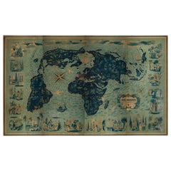
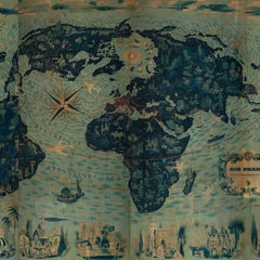
Four Reproduction Vintage Panels of Air France World Map

Four Reproduction Vintage Panels of Air France World Map

Located in Los Angeles, CA

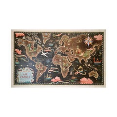
Reproduction of a beautiful green and blue mid-century Air France world map on four individual panels. The charming illustrations evoke an era of international jet-set style. May be ...

Category

21st Century and Contemporary French Prints

Materials

Wood, Paper

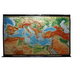
Vintage Rollable Map Mediterranean Countries Wall Chart Mural Poster

Vintage Rollable Map Mediterranean Countries Wall Chart Mural Poster

Located in Berghuelen, DE

A decorative countrycore pull-down map depiciting countries surrounding the Mediterranean sea, published by Haack-Painke, Justus-Perthes. Colorful print on paper reinforced with canvas. Measurements: Width 263,50 cm (103.74 inch) Height 160 cm (62.99 inch) The measurements shown refer just to the canvas and do not include the poles. Background information on the history of school wall charts: The idea to upgrade every day school life by using pictures...

Category

Vintage 1970s German Country Prints

Materials

Canvas, Wood, Paper

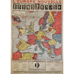
Original poster, titled “L’Europe Nouvelle” - political map of Europe

Original poster, titled “L’Europe Nouvelle” - political map of Europe

Located in PARIS, FR

This fascinating original poster, titled “L’Europe Nouvelle”, presents a vivid political map of Europe and the world as reshaped by the Treaty of Versailles, signed in 1919 at the co...

Category

1910s Prints and Multiples

Materials

Linen, Paper, Lithograph
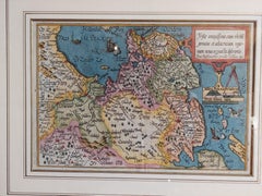
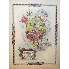
Jacques Liozu's 1951 illustrated map of North and Central America

Jacques Liozu's 1951 illustrated map of North and Central America

By Jacques Liozu

Located in PARIS, FR

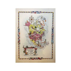
Jacques Liozu's 1951 illustrated map of North and Central America is an exceptional work of cartography that combines geographical precision with artistic aesthetics. Jacques Liozu, ...

Category

1950s Prints and Multiples

Materials

Paper, Lithograph

Old Vintage Look Pull Down Map Wall Chart Poster South America

Old Vintage Look Pull Down Map Wall Chart Poster South America

Located in Berghuelen, DE

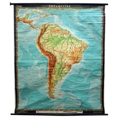
The wall map shows South America in a combination of physical and political map with the emphasis on the topology of the continent. It was edited in its third edition by W. Eggers an...

Category

Mid-20th Century German Country Prints

Materials

Canvas, Wood, Paper

Circa 1950 original poster by Lucien Boucher for Air France - Planispheres

Circa 1950 original poster by Lucien Boucher for Air France - Planispheres

By Lucien Boucher

Located in PARIS, FR

The circa 1950 original poster by Lucien Boucher, Air France Réseau Aérien Mondial, is a notable example of mid-20th-century commercial art designed to promote the global air routes of Air France. Lucien Boucher, a renowned French illustrator and poster artist, became closely associated with Air France due to his series of beautifully crafted world map posters, often referred to as "planispheres." These maps were produced between the 1930s and 1960s, highlighting the growing reach of Air France as international air travel expanded after World War II. Boucher's work is known for its combination of cartographic precision and artistic creativity. His Air France posters were not just functional tools for navigation but were also designed to evoke a sense of adventure and the allure of global travel. They capture the optimism of an era when air travel was becoming more accessible and increasingly viewed as the future of international transportation. In this particular poster, Boucher uses artistic elements like vibrant colors, symbolic depictions of different regions, and various modes of transportation to showcase Air France’s extensive global routes. The poster's style reflects the influence of both Art Deco and traditional mapmaking, blending modernity with classical touches. The planes are seen flying across the map, connecting continents, while small details like ships, animals, and historical figures embellish the poster, each representing the diverse cultures and histories of the regions Air France serviced. These posters were often printed by French lithography studio Perceval, known for its high-quality production, further enhancing the visual appeal of Boucher’s work. The Réseau Aérien Mondial map posters are not just travel advertisements but also collectible pieces of art, highly valued by collectors of vintage aviation...

Category

1950s Prints and Multiples

Materials

Linen, Paper, Lithograph
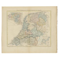
1939 original map for Air France titled "Nova et Vetera" by Lucien Boucher

1939 original map for Air France titled "Nova et Vetera" by Lucien Boucher

By Lucien Boucher

Located in PARIS, FR

In 1939, Lucien Boucher, a renowned French artist and illustrator, created a captivating map for Air France titled "Nova et Vetera", which translates to "New and Old" in Latin. This original lithographic poster is a remarkable fusion of vintage cartographic art and modern aviation, crafted as a promotional piece for the airline. It beautifully symbolizes the connection between the historic routes of exploration and the new ones made possible by air travel. Boucher was celebrated for his unique ability to combine the romanticism of classic maps with the sleek, modern spirit of 20th-century flight. Among his series of illustrated maps for Air France, "Nova et Vetera" stands out with its nostalgic allure and references to history. The map exudes the charm of the age of exploration, echoing the style of 16th- and 17th-century cartographers. Rendered in rich, earthy tones, it depicts brown continents framed by pale blue oceans, evoking the feel of antique navigational...

Category

1930s Prints and Multiples

Materials

Linen, Paper, Lithograph
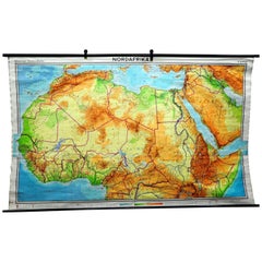
Vintage Mural Map of North Africa Countrycore African Wall Chart Decoration

Vintage Mural Map of North Africa Countrycore African Wall Chart Decoration

Located in Berghuelen, DE

The wall map shows North Africa. It was published by Westermann-Schulwandkarten. Used as teaching material in German schools. Colorful print on paper reinforced with canvas, Measurem...

Category

Late 20th Century German Country Prints

Materials

Canvas, Wood, Paper

John Speede Map The Countye of Monmouth

John Speede Map The Countye of Monmouth

By John Speed

Located in London, GB

To see our other views and maps of England - including London, Oxford and Cambridge, scroll down to "More from this Seller" and below it click on "See all from this Seller" - or send...

Category

17th Century Realist Landscape Prints

Materials

Engraving

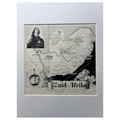
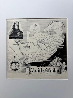
Original 1947 Map of South Africa by C. Burki – Jan van Riebeeck & Cape Colony

Original 1947 Map of South Africa by C. Burki – Jan van Riebeeck & Cape Colony

Located in Langweer, NL

Title: Original 1947 Map of South Africa by Charles Burki – Jan van Riebeeck & Cape Colony This striking 1947 pen-and-ink map of South Africa by Charles Burki (1909–1994) exemplifie...

Category

Vintage 1940s Dutch Drawings

Materials

Paper

Circa 1940 Original anti-British Nazi propaganda poster Churchill WWII

Circa 1940 Original anti-British Nazi propaganda poster Churchill WWII

Located in PARIS, FR

The original propaganda poster titled "Confiance... Ses amputations se poursuivent méthodiquement" stands as a remarkable artifact from the era of Vichy France and anti-British Nazi ...

Category

1940s Prints and Multiples

Materials

Linen, Paper, Lithograph
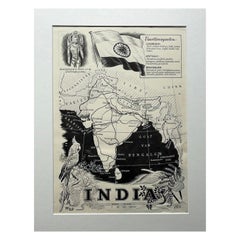
Original Illustration Map of India by Charles Burki, 1951 – Ink Drawing

Original Illustration Map of India by Charles Burki, 1951 – Ink Drawing

Located in Langweer, NL

Original Illustration Map of India by Charles Burki, 1951 – Ink Drawing Original pen-and-ink illustration of India by Dutch artist Charles Burki (1909–1994), executed in 1951. This ...

Category

Vintage 1950s Dutch Drawings

Materials

Paper

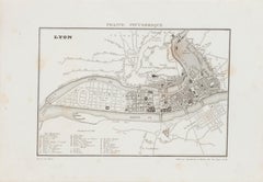
Map of Lyon - Original Etching - 19th Century

Map of Lyon - Original Etching - 19th Century

Located in Roma, IT

Map of Lyon is an original etching realized by an anonymous engraver of the 19th Century. Printed in series of "France Pittoresque" at the top center. The state of preservation of ...

Category

19th Century Modern Figurative Prints

Materials

Etching

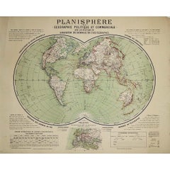
Circa 1900 original poster Planisphère de géographie politique et commercial

Circa 1900 original poster Planisphère de géographie politique et commercial

Located in PARIS, FR

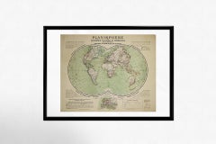
This circa 1900 original poster, "Planisphère de Géographie Politique et Commerciale," is a fascinating artifact of early 20th-century cartography, created by H. Bouthillier de Beaum...

Category

Early 1900s Prints and Multiples

Materials

Paper, Lithograph

1918 original poster titled Ligue Maritime Française - Les Réalités de la Guerre

1918 original poster titled Ligue Maritime Française - Les Réalités de la Guerre

Located in PARIS, FR

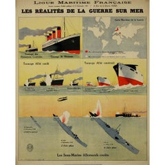
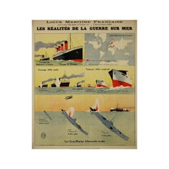
The 1918 original poster titled Ligue Maritime Française - Les Réalités de la Guerre sur Mer was created by Léon Haffner, a renowned French artist and naval illustrator. Known for his depictions of maritime themes, Haffner produced this piece during the final year of World War I, under the commission of the Ligue Maritime Française. This poster was part of a broader campaign by the Ligue Maritime Française to raise awareness of France’s naval challenges and achievements during the war. The focus was on the harsh realities faced by the French Navy as it defended the country’s waters against the threat of German U-boats (submarines). By highlighting the significant victories of the French Navy, particularly the destruction of numerous German submarines, this work was intended to educate the public about the importance of France's maritime defense during the war. The Ligue Maritime Française played a crucial role in promoting maritime interests in France, especially during a time when naval power was critical to national security. Through this poster and similar works, the organization aimed to strengthen public support for the war effort by emphasizing the vital role of the French Navy in protecting the nation. Léon Haffner's involvement in this project underscores his reputation as an artist who could convey the significance of naval warfare through his work. His contributions helped elevate public consciousness regarding the maritime front of World War I, fostering both pride in French naval accomplishments and awareness of the ongoing risks and challenges faced by the nation at sea. The 1918 poster Les Réalités de la Guerre sur Mer is more than just a piece of wartime propaganda; it serves as a historical document, reflecting the broader efforts of France to mobilize public opinion and support for the war. It remains an important artifact from World War I, capturing a critical aspect of the conflict and Léon Haffner's role in illustrating the maritime realities of that time. Original Poster War 14-18 - Navy Maritime map...

Category

1910s Prints and Multiples

Materials

Paper, Lithograph
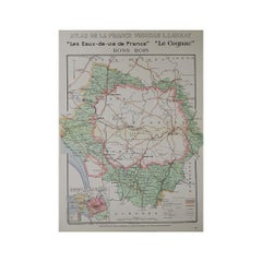
1947 original map "Les eaux-de-vie de France - Le Cognac Bons Bois" by Larmat

1947 original map "Les eaux-de-vie de France - Le Cognac Bons Bois" by Larmat

By Louis Larmat

Located in PARIS, FR

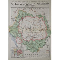
The 1947 original map Atlas de la France Vinicole - Les Eaux-de-vie de France - Le Cognac Bons Bois, created by Louis Larmat and printed by Dorel in Paris, is a beautifully crafted c...

Category

1940s Prints and Multiples

Materials

Paper, Lithograph
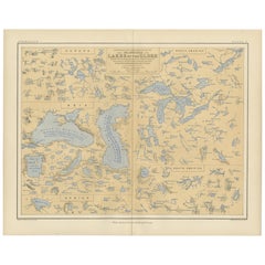
Map of the Lakes of the Globe 1856 – Comparative Chart of Inland Seas

Map of the Lakes of the Globe 1856 – Comparative Chart of Inland Seas

Located in Langweer, NL

Map of the Lakes of the Globe 1856 – Comparative Chart of Inland Seas Description: This remarkable 19th-century comparative chart is titled Comparative Form and Extent of the Inland...

Category

Antique Mid-19th Century Scottish Prints

Materials

Paper

Antique Print of Chinese Deities, 1665

Antique Print of Chinese Deities, 1665

Located in Langweer, NL

Antique print titled 'Kingang'. Old print depicting Chinese Deities / Idols, the Deity of immortality and the Deity of lust. Also depicted is a Chinese g...

Category

Antique 17th Century Prints

Materials

Paper

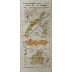
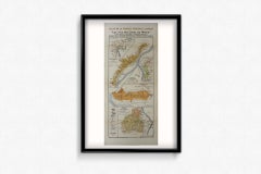
1943 original map "Les vins des Côtes du Rhône" by Larmat

1943 original map "Les vins des Côtes du Rhône" by Larmat

By Louis Larmat

Located in PARIS, FR

The 1943 original map by L. Larmat, titled "Les vins des Côtes du Rhône", is part of the comprehensive "Atlas de la France Vinicole" series, which meticulously charts France’s most r...

Category

1940s Prints and Multiples

Materials

Paper, Lithograph
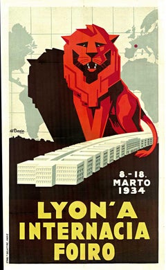
Original Lyon A Internacia Foiro 1934, France vintage art deco poster

Original Lyon A Internacia Foiro 1934, France vintage art deco poster

Located in Spokane, WA

Original 1934 “Lyon — A Internacia Foiro” original vintage poster, linen-backed and ready to frame. Striking original 1934 Art Deco-era poster for the Lyon International Fair, title...

Category

1930s Art Deco Landscape Prints

Materials

Lithograph

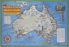
Australia Original Vintage Propaganda Poster post WW2 MacDonald Max Gill

Australia Original Vintage Propaganda Poster post WW2 MacDonald Max Gill

By "Leslie MacDonald ""Max"" Gill"

Located in London, GB

To see our other original vintage travel and propaganda posters, scroll down to "More from this Seller" and below it click on "See all from this Seller" - or send us a message if you...

Category

1940s Modern Landscape Prints

Materials

Lithograph

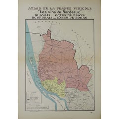
1941 original map "Les vins de Bordeaux - Blayais, Côtes de Blaye" by Larmat

1941 original map "Les vins de Bordeaux - Blayais, Côtes de Blaye" by Larmat

By Louis Larmat

Located in PARIS, FR

In 1941, L. Larmat created an impressive map titled Atlas de la France Vinicole: Les Vins de Bordeaux - Blayais, Côtes de Blaye, Bourgeais, Côtes de Bourg, printed by Dorel in Paris....

Category

1940s Prints and Multiples

Materials

Paper, Lithograph

1942 'Bell Airacobra' P-39 Fighter aeroplane identification poster WW2

1942 'Bell Airacobra' P-39 Fighter aeroplane identification poster WW2

Located in London, GB

To see our other original vintage warbird aeroplane posters, photographs and paintings, scroll down to "More from this Seller" and below it click on "See all from this Seller". US ...

Category

1940s Modern Prints and Multiples

Materials

Lithograph

RARE !!! Original german airship travel poster - 1930s

RARE !!! Original german airship travel poster - 1930s

Located in Praha, CZ

- 1920s, Germany - original, no reprint - shows travelling possibilities around the world - marked - includes paper airship - for the condition see the photos jr

Category

Vintage 1930s German Art Deco Books

Materials

Paper