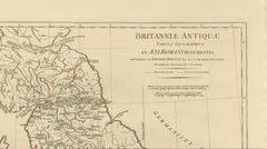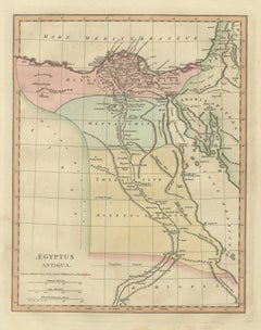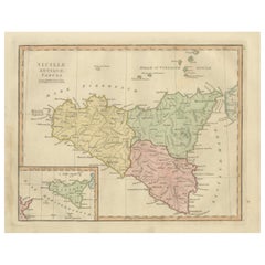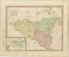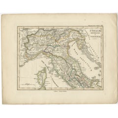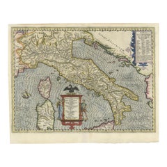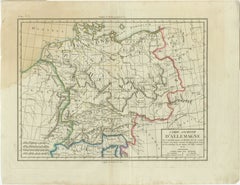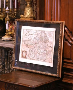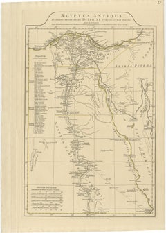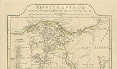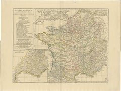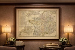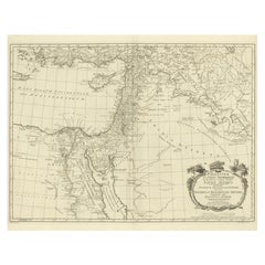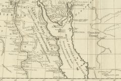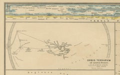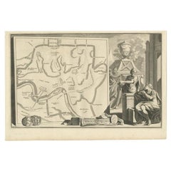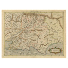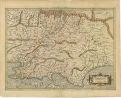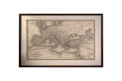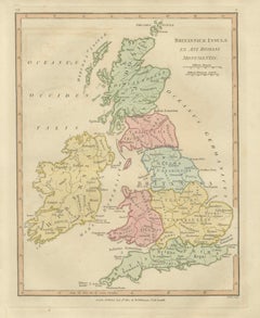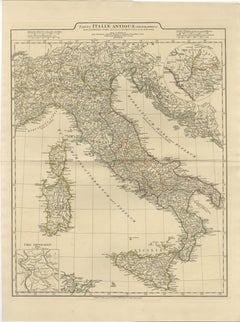
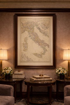
Antique Map of Ancient Italy – Roman Peninsula & Sicily, Engraving c.1818
Located in Langweer, NL
Antique Map of Ancient Italy – Roman Peninsula & Sicily, Engraving c.1818 Elegant antique map depicting ancient Italy, showing the Italian peninsula from the Alps to Sicily, includi...
Category
Antique Early 19th Century British Maps
Materials
Paper