Items Similar to Old Map of Ancient Times covering Egypt Towards Arabia and India to Java, c.1660


Want more images or videos?
Request additional images or videos from the seller
1 of 5
Old Map of Ancient Times covering Egypt Towards Arabia and India to Java, c.1660
About the Item
Description: Antique map titled 'Erythraei Sive Rubri Maris Periplus olim ab arriano descriptus nunc vero ab abrah ortelio ex eodem delineatus'. Map of the Indian Ocean, or Erythraean Sea, as it was in antiquity. Composed by Jan Jansson after a similar 1597 map published by A. Ortelius in his Parergon. Covers from Egypt and the Nile valley eastward past Arabia and India, to Southeast Asia and Java.
Artists and Engravers: Johannes Janssonius (Jansson),( 1588- 1664) Amsterdam was born in Arnhem, the son of Jan Janszoon the Elder,a publisher and bookseller. In 1612 he married Elisabeth de Hondt, the daughter of Jodocus Hondius. He produced his first maps in 1616 of France and Italy. In 1623 Janssonius owned a bookstore in Frankfurt am Main, later also in Danzig, Stockholm, Copenhagen, Berlin, Königsberg, Geneva and Lyon. In the 1630s he formed a partnership with his brother in law Henricus Hondius, and together they published atlases as Mercator/Hondius/Janssonius. Under the leadership of Janssonius the Hondius Atlas was steadily enlarged. Renamed Atlas Novus, it had three volumes in 1638, one fully dedicated to Italy. 1646 a fourth volume came out with ""English County Maps"", a year after a similar issue by Willem Blaeu. Janssonius' maps are similar to those of Blaeu, and he is often accused of copying from his rival, but many of his maps predate those of Blaeu and/or covered different regions. By 1660, at which point the atlas bore the appropriate name ""Atlas Major"", there were 11 volumes, containing the work of about a hundred credited authors and engravers. It included a description of ""most of the cities of the world"" (Townatlas), of the waterworld (Atlas Maritimus in 33 maps), and of the Ancient World (60 maps). The eleventh volume was the Atlas of the Heavens by Andreas Cellarius. Editions were printed in Dutch, Latin, French, and a few times in German.
Condition: Good, some repair along folding line (still partly teared). A few marginal tears and minor losses. Some tape. Latin text on verso, please study image carefully.
- Dimensions:Height: 19.49 in (49.5 cm)Width: 22.45 in (57 cm)Depth: 0 in (0.02 mm)
- Materials and Techniques:
- Period:1660-1669
- Date of Manufacture:circa 1660
- Condition:
- Seller Location:Langweer, NL
- Reference Number:
About the Seller
5.0
Platinum Seller
These expertly vetted sellers are 1stDibs' most experienced sellers and are rated highest by our customers.
Established in 2009
1stDibs seller since 2017
1,916 sales on 1stDibs
Typical response time: <1 hour
- ShippingRetrieving quote...Ships From: Langweer, Netherlands
- Return PolicyA return for this item may be initiated within 14 days of delivery.
More From This SellerView All
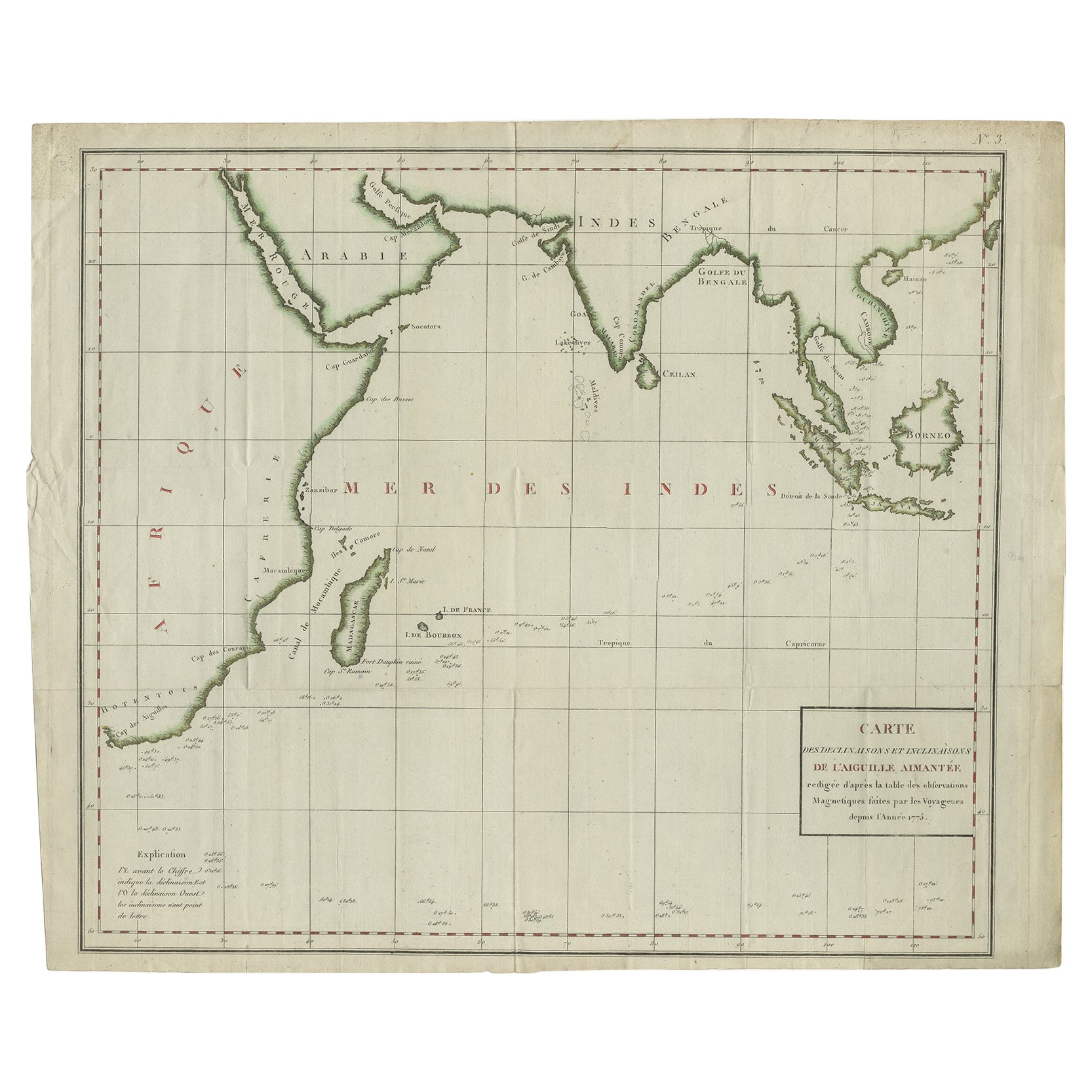
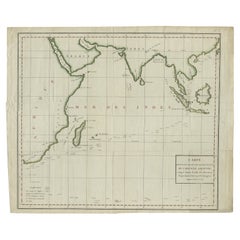
- Old Map of Indian Ocean & Sumatra, Java, Borneo, India, Arabia, Africa, c.1783Located in Langweer, NLAntique map titled 'Carte des Declinaisons et Inclinaisons de L'Aiguille Aimantée redigée d'après la table des observations Magnetiques faites par les Voyageurs depuis l'Année 1775'....Category
Antique 1780s Maps
MaterialsPaper
- Antique Map of Germany of German in Roman Times, c.1660Located in Langweer, NLAntique map Germany titled 'Germaniae Veteris Typus'. Antique map probably by Blaeu or based on an earlier state by W. Blaeu. Minor differences shown in the cartouches. Top left ha...Category
Antique 17th Century Maps
MaterialsPaper
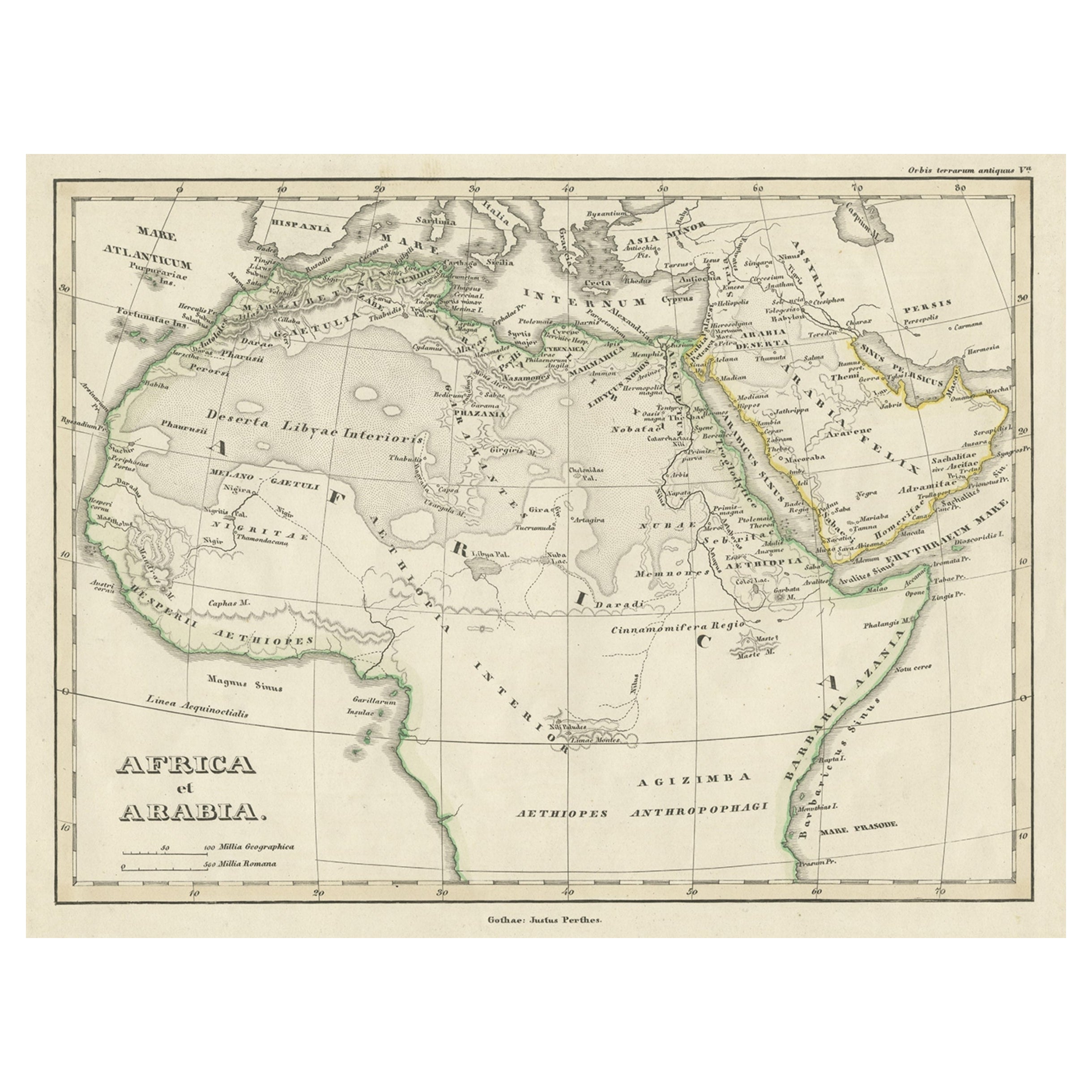
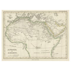
- Old Original Map of Africa and Arabia, 1848Located in Langweer, NLAntique map titled 'Africa et Arabia'. Old map of Africa and Arabia originating from 'Orbis Terrarum Antiquus in usum Scholarum'. Artists and Engravers: Published by Justus P...Category
Antique 1840s Maps
MaterialsPaper
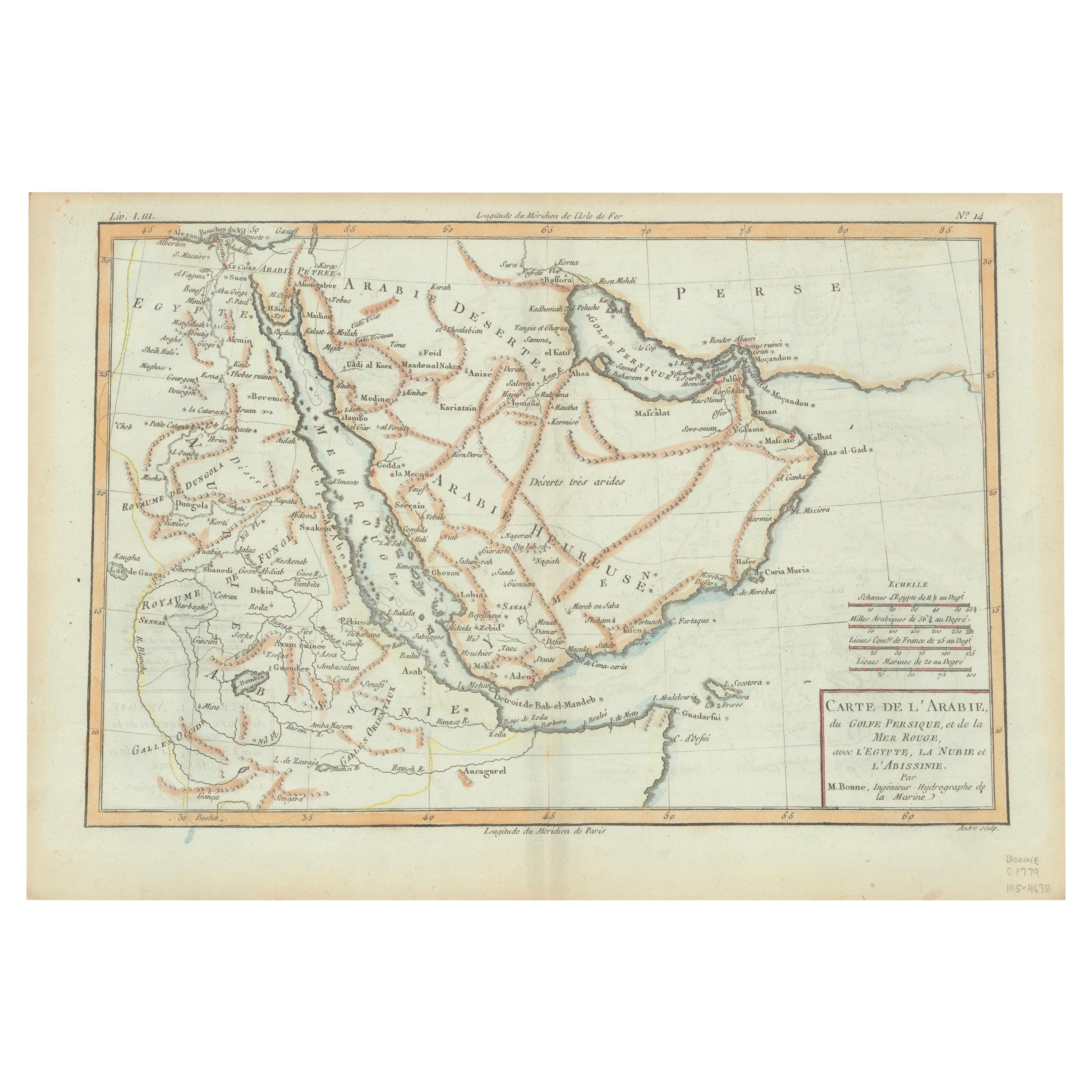
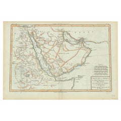
- Old Map of the Arabian Peninsula with Parts of Egypt, Sudan, Eritrea & EthiopiaLocated in Langweer, NL"Carte de l'Arabie, du Golfe Persique, et de la Mer Rouge, avec l'Egypte, la Nubie et l'Abissinie", Bonne, Rigobert Subject: Arabia Period: 1780 (circa) Publication: Atlas de Toutes...Category
Antique 1780s Maps
MaterialsPaper
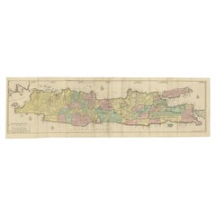
- Huge Old Map of Java, Indonesia, Published by the Dutch in Colonial Times, 1728Located in Langweer, NLAntique map titled 'Nieuwe en zeer naaukeurige Kaart van t Eyland Java Major of Groot Java'. This large-scale map of Java is richly engraved with details of agricultural fields, road...Category
Antique 18th Century Maps
MaterialsPaper
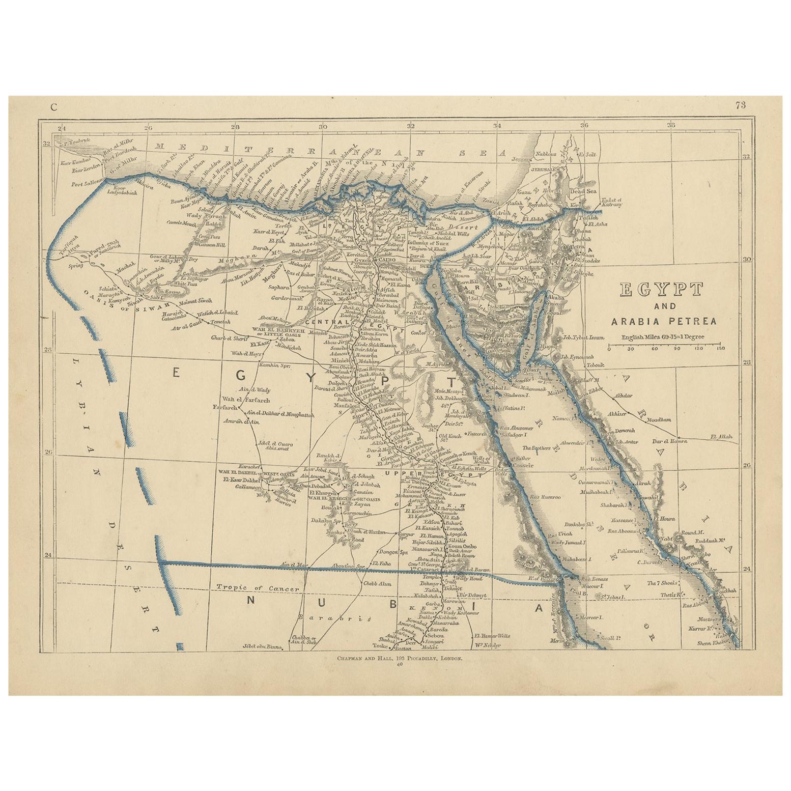
- Antique Map of Egypt and Arabia Petraea by A & C. Black, 1870Located in Langweer, NLAntique map titled 'Egypt and Arabia Petraea'. Original antique map of Egypt and Arabia Petraea. This map originates from ‘Black's General Atlas of The World’. Published by A & C. Bl...Category
Antique Late 19th Century Maps
MaterialsPaper


You May Also Like
- Original Antique Map of India. C.1780Located in St Annes, LancashireGreat map of India Copper-plate engraving Published C.1780 Three small worm holes to right side of map and one bottom left corner Unframed.Category
Antique Early 1800s English Georgian Maps
MaterialsPaper

- Large Original Antique Map of Java and Borneo, Fullarton, C.1870Located in St Annes, LancashireGreat map of Java and Borneo Wonderful figurative borders From the celebrated Royal Illustrated Atlas Lithograph. Original color. Published by Fullarton, Edinburgh. C.1870 Unfr...Category
Antique 1870s Scottish Maps
MaterialsPaper
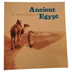
- The American Discovery of Ancient Egypt 1995Located in North Hollywood, CAThe American Discovery of Ancient Egypt 1995. Essays, edited by Nancy Thomas. A survey of the achievements of American Egyptology featuring such enterpris...Category
Late 20th Century Egyptian Moorish Books
MaterialsPaper
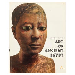
- Art of Ancient Egypt by Kazimierz MichalowskiLocated in Bradenton, FLArt of Ancient Egypt by Kazimierz Michalowski. Hardcover book with dustjacket. Published by Harry N. Abrams Inc., of New York. Printed in France, bound in the Netherlands. 904 illust...Category
Late 20th Century French Egyptian Books
MaterialsPaper
- Old Nautical Map of CorsicaLocated in Alessandria, PiemonteST/556/1 - Old map of Corsica isle, surveyed by Captain Hell, of the French Royal Navy in 1824, engraved and published on 1874, with additions and corre...Category
Antique Early 19th Century English Other Prints
MaterialsPaper
- Old Horizontal Map of EnglandBy TassoLocated in Alessandria, PiemonteST/520 - Old rare Italian map of England, dated 1826-1827 - by Girolamo Tasso, editor in Venise, for the atlas of M.r Le-Sage.Category
Antique Early 19th Century Italian Other Prints
MaterialsPaper


Recently Viewed
View AllMore Ways To Browse
Old India Furniture
Ancient Egyptian Antiques
Antique Old World Map
Old World Antique Map
Old Antique World Map
Old World Antique Maps
Arabian Antique
Enlarged French
India Map
Ocean Maps
Ocean Map
Map Of India
Java Antiques
Antique India Map
India Antique Map
Antique Maps India
Antique Map India
Antique Map Of India