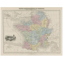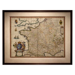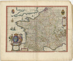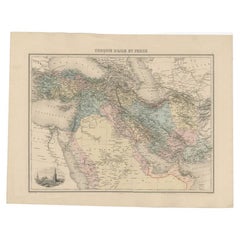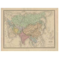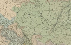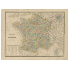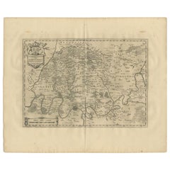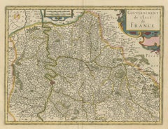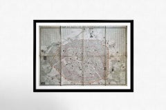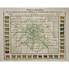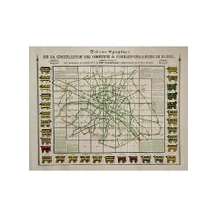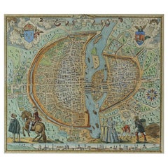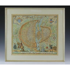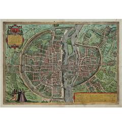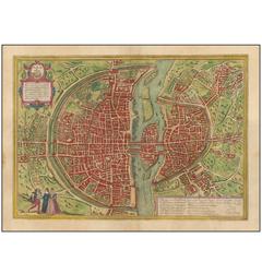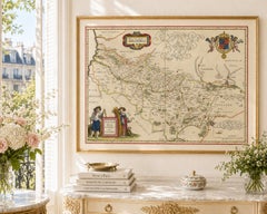
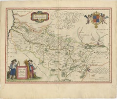
Decorative Blaeu Map of Picardy with Costume Figures, France 1642
Located in Langweer, NL
Keywords: antique map Picardy, Blaeu Picardia, Picardia Regio Belgica, Picardie France map, Willem Jansz Blaeu, Joan Blaeu atlas, Toonneel des Aerdrycx, Blaeu 1642 map, Dutch Golden ...
Category
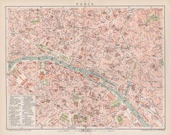
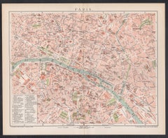
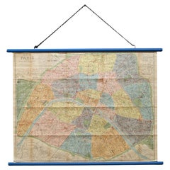
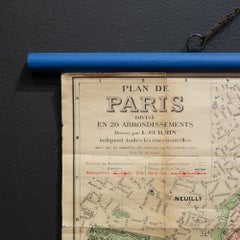
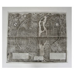
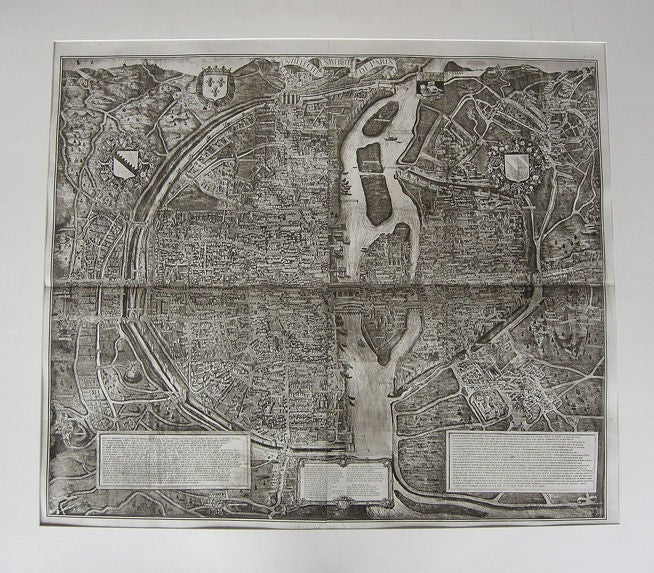
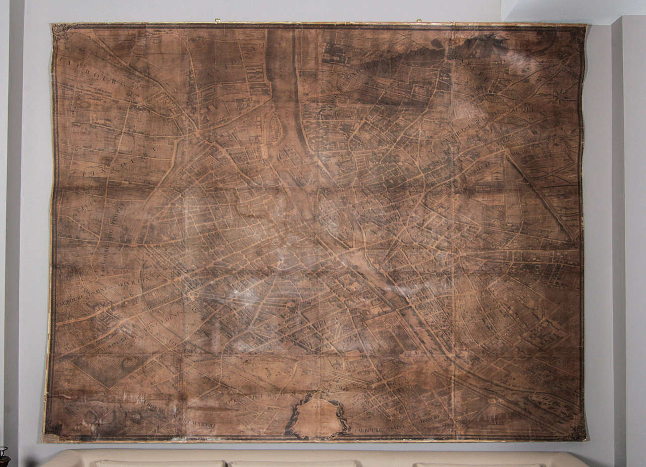
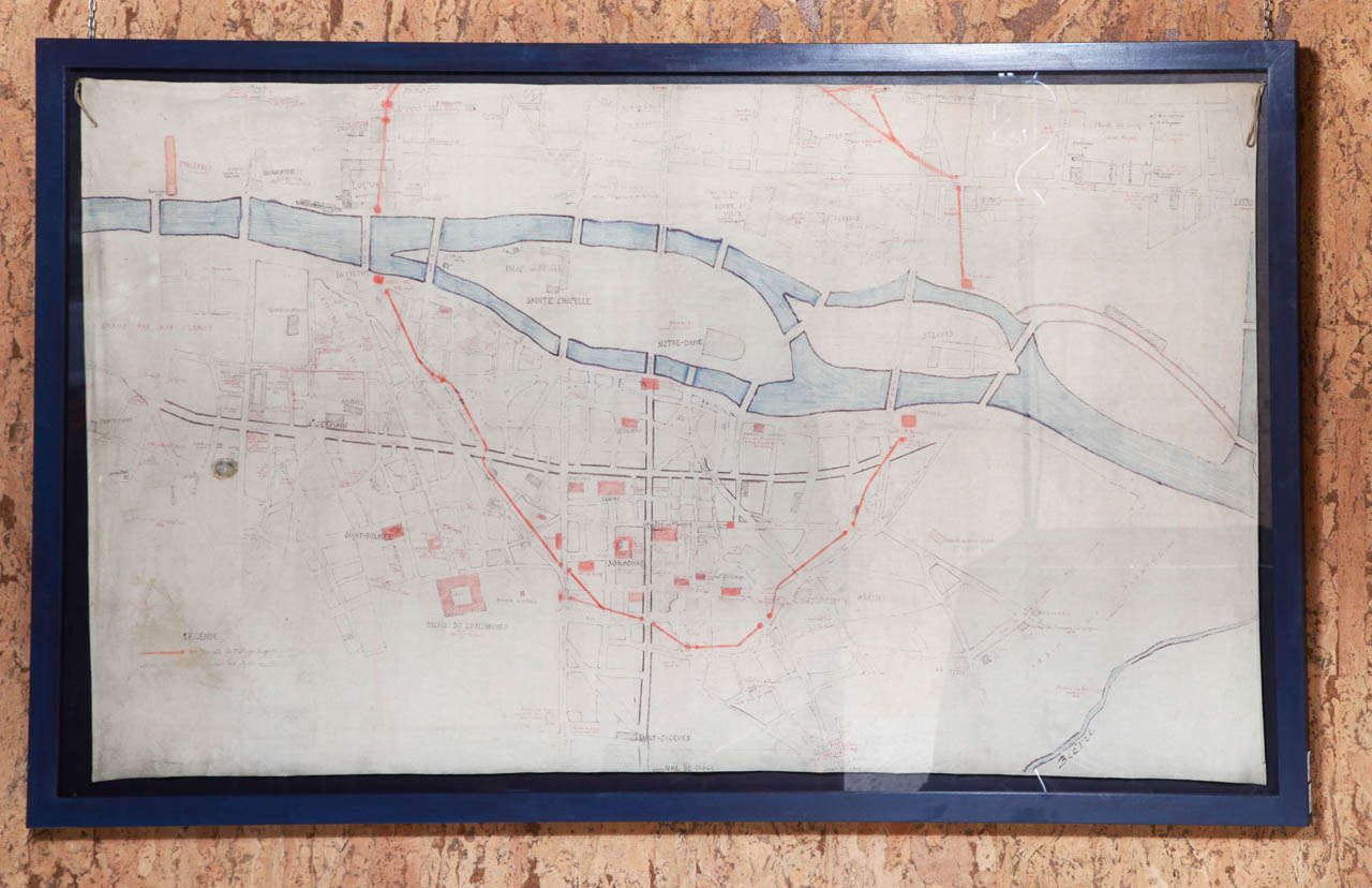
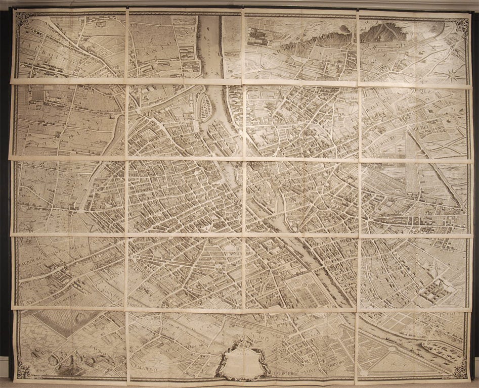
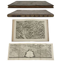
Mid-17th Century Dutch Antique Map Paris
Materials
Paper