
Antique Maps California

Antique Map of Baja California and parts of Alta California, Arizona and Sonora

Antique Map of Baja California and parts of Alta California, Arizona and Sonora

Located in Langweer, NL

Antique map titled 'Kaart van het Westelyk Gedeelte van Nieuw Mexico en van California'. Beautiful

Category

Mid-18th Century Antique Maps California

Materials

Paper

1888 California Map – The Golden State’s Railroads, Cities & Counties

1888 California Map – The Golden State’s Railroads, Cities & Counties

Located in Langweer, NL

Antique Map of California – Railroads, Cities & Counties, 1888 This antique engraved map shows

Category

Late 19th Century American Antique Maps California

Materials

Paper

Large Original Antique Map of California, USA, circa 1900

Large Original Antique Map of California, USA, circa 1900

Located in St Annes, Lancashire

Fabulous map of California Original color Engraved and printed by the George F. Cram Company

Category

1890s American Antique Maps California

Materials

Paper

Original Antique Map of the Western Part of NEW MEXICO & CALIFORNIA

Original Antique Map of the Western Part of NEW MEXICO & CALIFORNIA

$1,250Sale Price|20% Off

H 12.8 in W 13.71 in D 0.01 in

Original Antique Map of the Western Part of NEW MEXICO & CALIFORNIA

Located in Langweer, NL

Title: "Map of the Western Part of NEW MEXICO and CALIFORNIA According to the Latest Discoveries by

Category

1760s Antique Maps California

Materials

Paper

Antique Map of the World with California as an Island, 1788

Antique Map of the World with California as an Island, 1788

Located in Langweer, NL

cordiform projections show California as an island. However, as this map was published at the very end of

Category

1780s Antique Maps California

Materials

Paper

Old Map of the Overland Route to California – Early Exploration Pathways, 1701

Old Map of the Overland Route to California – Early Exploration Pathways, 1701

Located in Langweer, NL

Map of the Overland Route to California – 18th Century This 18th-century copperplate map, titled

Category

Early 18th Century French Antique Maps California

Materials

Paper

Original Antique Map of the American State of California ( Southern Part ), 1903

Original Antique Map of the American State of California ( Southern Part ), 1903

Located in St Annes, Lancashire

Antique map of California ( Southern part ) Published By A & C Black. 1903 Original colour Good

Category

Early 1900s English Antique Maps California

Materials

Paper

Original Antique Map of the American State of California ( Northern Part ), 1903

Original Antique Map of the American State of California ( Northern Part ), 1903

Located in St Annes, Lancashire

Antique map of California ( Northern part ) Published By A & C Black. 1903 Original colour Good

Category

Early 1900s English Antique Maps California

Materials

Paper

1573 Ortelius Map: First to Name California, Spanning Tartary to North America

1573 Ortelius Map: First to Name California, Spanning Tartary to North America

$2,308Sale Price|20% Off

H 15.75 in W 21.26 in D 0 in

1573 Ortelius Map: First to Name California, Spanning Tartary to North America

Located in Langweer, NL

1573, this map is significant for being the earliest obtainable map that names California and includes

Category

16th Century Antique Maps California

Materials

Paper

Greenland and California as an Island – Antique Northern Hemisphere Map, ca.1750

Greenland and California as an Island – Antique Northern Hemisphere Map, ca.1750

By Isaak Tirion

Located in Langweer, NL

Greenland and California as an Island – Antique Northern Hemisphere Map, ca.1750 Antique map

Category

Mid-18th Century Dutch Antique Maps California

Materials

Paper

California, Alaska and Mexico: 18th Century Hand-Colored Map by de Vaugondy

California, Alaska and Mexico: 18th Century Hand-Colored Map by de Vaugondy

By Didier Robert de Vaugondy

Located in Alamo, CA

cartes publiees au commencement de 17e Siecle" (Map of California and the Northwestern Countries

Category

1770s French Antique Maps California

Materials

Paper

Antique Map of America with California as an Island by Homann '1710'

Antique Map of America with California as an Island by Homann '1710'

$2,254Sale Price|25% Off

H 22.05 in W 25.99 in D 0.02 in

Antique Map of America with California as an Island by Homann '1710'

Located in Langweer, NL

of the most distinctive features of this map is the depiction of California as an island. This was a

Category

Early 18th Century Antique Maps California

Materials

Paper

Antique Map of Part of the United States Including Lower California & Arizona

Antique Map of Part of the United States Including Lower California & Arizona

$423Sale Price|20% Off

H 15.08 in W 18.75 in D 0.02 in

Antique Map of Part of the United States Including Lower California & Arizona

Located in Langweer, NL

Antique map of part of the United States of America including Lower California, Arizona and part of

Category

Late 19th Century Antique Maps California

Materials

Paper

1847 Antique Map of Mexico, Texas and California by Samuel Augustus Mitchell

1847 Antique Map of Mexico, Texas and California by Samuel Augustus Mitchell

By Samuel Augustus Mitchell 1

Located in Colorado Springs, CO

& Upper California, an important map showing the progress of the Mexican-American War. Published in 1847

Category

1840s American Antique Maps California

Materials

Paper

1873 "Map of the States of California and Nevada" by Chas. Drayton Gibbes

1873 "Map of the States of California and Nevada" by Chas. Drayton Gibbes

Located in Colorado Springs, CO

Presented is Warren Holt and Charles Drayton Gibbes' 1873 “Map of California and Nevada.” This map

Category

1870s American Antique Maps California

Materials

Paper

Antique Miniature Map of the Western Hemisphere, California as an Island, c.1683

Antique Miniature Map of the Western Hemisphere, California as an Island, c.1683

Located in Langweer, NL

the Western Hemisphere, published by Alain Manesson Mallet. The map shows California as an Island, no

Category

Late 17th Century French Antique Maps California

Materials

Paper

World Antique Map c.1888 – Rand McNally, Continents & Territories

World Antique Map c.1888 – Rand McNally, Continents & Territories

Located in Langweer, NL

. border in the north to the Yucatán Peninsula in the south, the map includes Baja California, the Gulf of

Category

Late 19th Century American Antique Maps California

Materials

Paper

Antique Map of North and East Asia, 1751

Antique Map of North and East Asia, 1751

$709

H 18.35 in W 14.97 in D 0 in

Antique Map of North and East Asia, 1751

Located in Langweer, NL

maps on one sheet, showing California, Alaska and Siberia, Korea and Japan. South to Korea the island

Category

18th Century French Antique Maps California

Materials

Paper

Antique Map of the World on Mercator Projection by Anson, 1749

Antique Map of the World on Mercator Projection by Anson, 1749

$283Sale Price|51% Off

H 10.63 in W 16.74 in D 0 in

Antique Map of the World on Mercator Projection by Anson, 1749

Located in Langweer, NL

Antique map titled 'Nieuwe Wereld Kaart waar in de Reizen van den Hr. Anson rondsom de Wereld

Category

18th Century Antique Maps California

Materials

Paper

Mexico Antique Railroad Map c.1888 – Cities, States & Land of the Aztecs

Mexico Antique Railroad Map c.1888 – Cities, States & Land of the Aztecs

Located in Langweer, NL

. border in the north to the Yucatán Peninsula in the south, the map includes Baja California, the Gulf of

Category

Late 19th Century American Antique Maps California

Materials

Paper

Antique Map of North Europe and East Asia by Vaugondy, circa 1750

Antique Map of North Europe and East Asia by Vaugondy, circa 1750

Located in Langweer, NL

Asia. Five maps on one sheet, showing California, Alaska and Syberia, Korea and Japan. South to Korea

Category

Mid-18th Century French Antique Maps California

Materials

Paper

Antique Map of the World in two Hemispheres by Keizer & de Lat, 1788

Antique Map of the World in two Hemispheres by Keizer & de Lat, 1788

$631Sale Price|30% Off

H 8.08 in W 13 in D 0.02 in

Antique Map of the World in two Hemispheres by Keizer & de Lat, 1788

Located in Langweer, NL

Antique map titled 'Kaart van de Twee platte Warelds Bollen (..)'. Interesting world map in two

Category

Late 18th Century Antique Maps California

Materials

Paper

A NEW MAP OF THE WORLD from the Latest Observations.

A NEW MAP OF THE WORLD from the Latest Observations.

By John Senex

Located in New York, NY

.” A fine British produced double hemisphere world map. On this map, California is shown as an island

Category

18th Century Other Art Style Antique Maps California

Materials

Watercolor, Engraving

California, Northern Part. USA Century Atlas state antique vintage map

California, Northern Part. USA Century Atlas state antique vintage map

Located in Melbourne, Victoria

'The Century Atlas. California, Northern Part' Inset maps of 'Yosemite Valley' and 'San Francisco

Category

Early 20th Century Victorian Antique Maps California

Materials

Lithograph

AMERICA
AMERICA

John SpeedAMERICA, 1626-76

$4,250Sale Price|50% Off

H 15.125 in W 20.5 in

AMERICA

By John Speed

Located in Santa Monica, CA

IMPORTANT AMERICAN MAP - ONE OF THE FIRST TO SHOW CALIFORNIA as an ISLAND JOHN SPEED (1552-1629

Category

1620s Old Masters Antique Maps California

Materials

Engraving

The 1564 Medici Danti Map of California

The 1564 Medici Danti Map of California

By Fra Egnazio Danti

Located in New York, NY

of Danti’s map of California –which includes present-day California, Baja California, northwest

Category

17th Century Old Masters Antique Maps California

Materials

Canvas, Paper, Ink, Watercolor, Gouache, Pen

Recent Sales

Relief Map of California and Nevada

Relief Map of California and Nevada

Unavailable

H 47.5 in W 34 in

Relief Map of California and Nevada

Located in Los Angeles, CA

Lovely vintage relief map in the original frame. Great sepia colors

Category

Early 20th Century American Antique Maps California

Materials

Paper, Wood

Carte General du Globe Terrestre

Carte General du Globe Terrestre

Located in New York, NY

Engraving, late 1600s to early 1700's, with later hand coloring. As typical for all early maps

Category

Late 17th Century Realist Antique Maps California

Materials

Engraving

Western Hemisphere Map with California as an Island

Western Hemisphere Map with California as an Island

Located in New York, NY

Circa 1675 to 1700 beautifully hand-colored engraved map of the Western Hemisphere including

Category

Late 17th Century Realist Antique Maps California

Materials

Engraving

1701 Western Hemisphere Map with California as an Island

1701 Western Hemisphere Map with California as an Island

Located in New York, NY

Early 18th Century map of America by Robert Falconer, printed by Timothy Luyts, and Herman Moll and

Category

Early 1700s Realist Antique Maps California

Materials

Engraving

California Survey Map in Antique Windowpane Frame, circa 1855

California Survey Map in Antique Windowpane Frame, circa 1855

Located in Colorado Springs, CO

state of California. Several map sections have a grid overlay, to indicate surveyed lots. Roman numerals

Category

1850s Antique Maps California

Large Original Antique Map of California, USA, C.1900

Large Original Antique Map of California, USA, C.1900

Located in St Annes, Lancashire

Fabulous map of California Original color Engraved and printed by the George F. Cram Company

Category

1890s American Antique Maps California

Materials

Paper

1865 "Johnson's California, Utah, Nevada, Colorado, New Mexico, Arizona" Map

1865 "Johnson's California, Utah, Nevada, Colorado, New Mexico, Arizona" Map

Located in Colorado Springs, CO

Presented is an original 1865 "Johnson's California, with Territories of Utah, Nevada, Colorado

Category

Mid-19th Century Antique Maps California

Materials

Paper

Antique Map of Mexico, Texas and Upper California by Lapie, 1842

Antique Map of Mexico, Texas and Upper California by Lapie, 1842

Located in Langweer, NL

Antique map titled 'Carte des États-Unis du Méxique'. Map of Mexico, Texas and Upper California

Category

Mid-19th Century Antique Maps California

Materials

Paper

1846 Antique Map of Texas, Oregon, California, and Regions Adjoining by Mitchell

1846 Antique Map of Texas, Oregon, California, and Regions Adjoining by Mitchell

By Samuel Augustus Mitchell 1

Located in Colorado Springs, CO

Territory, California, and the Transmississippi West. Published in 1846 from Philadelphia, Mitchell's map of

Category

1840s American Antique Maps California

Materials

Paper

1890 "Map of Oregon, Kansas, California, and the Territories" by S. A. Mitchell

1890 "Map of Oregon, Kansas, California, and the Territories" by S. A. Mitchell

By Samuel Augustus Mitchell 1

Located in Colorado Springs, CO

Presented is an 1890 map "Map of Oregon, Kansas, California, and the Territories" by S. A. Mitchell

Category

1890s American Victorian Antique Maps California

Materials

Paper

Antique Whimsical Map of San Diego, California by Jo Mora for Marston Stores

Antique Whimsical Map of San Diego, California by Jo Mora for Marston Stores

By Jo Mora, A. Marston & Co.

Located in San Diego, CA

Antique whimsical map of San Diego, California by Jo Mora for Marston Stores, circa 1928. The rare

Category

Early 20th Century American Antique Maps California

Materials

Paper

1857 Wall Map of the United States by Fanning, Bridgman & Ensign

1857 Wall Map of the United States by Fanning, Bridgman & Ensign

By Thayer, Bridgman and Fanning

Located in Colorado Springs, CO

California. The map notes emigrant and exploration routes to the west, including Fremont's Route, The Oregon

Category

1850s American Antique Maps California

Materials

Paper

1870 "Johnson's California, also Utah, Nevada, Colorado, New Mexico, and Arizona

1870 "Johnson's California, also Utah, Nevada, Colorado, New Mexico, and Arizona

Located in Colorado Springs, CO

Presented is an original 1870 "Johnson's California, also Utah, Nevada, Colorado, New Mexico, and

Category

1870s American Victorian Antique Maps California

Materials

Paper

Antique Map of the Eastern and Western Hemisphere by Bodenehr, circa 1720

Antique Map of the Eastern and Western Hemisphere by Bodenehr, circa 1720

Located in Langweer, NL

America, Africa, Europe and Asia. The map of the Americas shows California as an Island from the Dutch

Category

Early 18th Century Antique Maps California

Materials

Paper

Florida and Virginia: A 17th Century Hand-colored Map by Hondius after Mercator

Florida and Virginia: A 17th Century Hand-colored Map by Hondius after Mercator

By Gerard Mercator

Located in Alamo, CA

. In 1589, Hondius produced a famous map of present-day northern California, which Drake named New

Category

Early 17th Century Dutch Antique Maps California

Materials

Paper

Rare Print of Archduke Charles of Austria Showing California as an Island, 1704

Rare Print of Archduke Charles of Austria Showing California as an Island, 1704

Located in Langweer, NL

Allegorical portrait of the Archduke Charles of Austria (calling himself the Spanish king Charles III) as Roman general, 1704. In the foreground near Neptune, Africa and Asia carry a...

Category

Early 1700s Antique Maps California

Materials

Paper

America Septentrionalis by Carroli Allard (1648-1709) Copper Plate Engraving

America Septentrionalis by Carroli Allard (1648-1709) Copper Plate Engraving

Located in San Francisco, CA

South America, circa 1700. A lovely hand colored map depicting California as an island as well as an

Category

Late 17th Century Dutch Antique Maps California

Materials

Paper

Mid-Century Framed "Baja California" Map, c.1967

Mid-Century Framed "Baja California" Map, c.1967

Located in San Francisco, CA

About An original mid-century framed map of Baja California. Creator: The Arhur H. Clark

Category

Early 20th Century American Mid-Century Modern Antique Maps California

Materials

Paper, Wood

"San Francisco, Upper California” 1851 Antique Map of San Francisco

"San Francisco, Upper California” 1851 Antique Map of San Francisco

Located in Colorado Springs, CO

prodigious body of early California views. Very early on, Britton and Rey earned a reputation for

Category

1850s American Antique Maps California

Materials

Paper

"San Francisco, Upper California” 1851 Antique Map of San Francisco

"San Francisco, Upper California” 1851 Antique Map of San Francisco

Located in Colorado Springs, CO

prodigious body of early California views. Very early on, Britton and Rey earned a reputation for

Category

1850s American Antique Maps California

Materials

Paper

The Yosemite by John Muir, First Edition, in Original Boards, 1912

The Yosemite by John Muir, First Edition, in Original Boards, 1912

Located in Colorado Springs, CO

." The three fold-out maps are "Administrative Map of Yosemite National Park, California. Topography by R

Category

1910s American Arts and Crafts Antique Maps California

Materials

Fabric, Paper

Original Antique Map of California, 1861

Original Antique Map of California, 1861

Sold

H 19.25 in W 13 in D 0.2 in

Original Antique Map of California, 1861

Located in St Annes, Lancashire

Great map of California. Titled California, Utah, Lr. California and New Mexico. Drawn and

Category

1860s English Antique Maps California

Materials

Paper

Texas California Mexico Map – Antique Tallis Map with Gold Region, c.1850

Texas California Mexico Map – Antique Tallis Map with Gold Region, c.1850

Located in Langweer, NL

Texas California Mexico Map – Antique Tallis Map with Gold Region, c.1850 This highly decorative

Category

Mid-19th Century Antique Maps California

Materials

Paper

1848 Gold and Quicksilver District of California Map

1848 Gold and Quicksilver District of California Map

Located in Colorado Springs, CO

the form of cinnabar) deposits in the territory of California. The map details the Sacramento Valley

Category

1840s American Antique Maps California

Materials

Paper

Original Antique Map of Southern California, circa 1890

Original Antique Map of Southern California, circa 1890

Located in St Annes, Lancashire

Great map of Southern California Original color. Published, circa1890 Unframed.     

Category

1890s English Other Antique Maps California

Materials

Paper

1856 Antique Map of the Surveys of California

1856 Antique Map of the Surveys of California

Located in Colorado Springs, CO

Offered is a Map of the Surveys of California dating to 1856. The work was issued by the U.S

Category

1850s American Antique Maps California

Materials

Paper

Large Original Antique Map of California, USA, 1894

Large Original Antique Map of California, USA, 1894

By Rand McNally & Co.

Located in St Annes, Lancashire

Fabulous map of California Original color By Rand, McNally & Co. Published, 1894 Slight

Category

1890s American Antique Maps California

Materials

Paper

Original Antique Map of The American State of California, 1889

Original Antique Map of The American State of California, 1889

Located in St Annes, Lancashire

Great map of California Drawn and engraved by W. & A.K. Johnston Published By A & C Black

Category

1880s Scottish Victorian Antique Maps California

Materials

Paper

Double Hemisphere World Map on Polar Projections & California Island, 1788

Double Hemisphere World Map on Polar Projections & California Island, 1788

Located in Langweer, NL

California. Australia and New Zealand are shown with incomplete coastlines. The map contains six smaller

Category

1780s Antique Maps California

Materials

Paper

Rare Miniature Map of Tartary, California and Japan, ca. 1655

Rare Miniature Map of Tartary, California and Japan, ca. 1655

Located in Langweer, NL

"Tartariae Sive Magni Chami Regni typus" A miniature map of Tartary (Russia), with Strait on

Category

1650s Antique Maps California

Materials

Paper

Antique Map of California, Utah, Nevada, Colorado, New Mexico & Arizona '1872'

Antique Map of California, Utah, Nevada, Colorado, New Mexico & Arizona '1872'

Located in Langweer, NL

Antique map titled 'Johnson's California (..)'. Original map of California, Utah, Nevada, Colorado

Category

Late 19th Century Antique Maps California

Materials

Paper

Antique Double Hemisphere World Map with California as an Island, 1710

Antique Double Hemisphere World Map with California as an Island, 1710

Located in Langweer, NL

Description: Antique map titled 'De Werelt Caart'. First state (out of three) antique double

Category

1710s Antique Maps California

Materials

Paper

Antique Map of Texas, California and the Southwest by Tallis, c.1850

Antique Map of Texas, California and the Southwest by Tallis, c.1850

Located in Langweer, NL

Antique map titled 'Mexico, California and Texas'. Decorative regional map of the Texas, California

Category

Mid-19th Century Antique Maps California

Materials

Paper

Framed 19th Century Colton Map of Mexico, Texas, California and US Territories

Framed 19th Century Colton Map of Mexico, Texas, California and US Territories

By J.H. Colton

Located in Alamo, CA

This framed 19th century map of the southern portions of North America by J. H. Colton, published

Category

Mid-19th Century American Other Antique Maps California

Materials

Paper

Rare Antique Map of the Americas with Island California by Danckerts, c.1680

Rare Antique Map of the Americas with Island California by Danckerts, c.1680

Located in Langweer, NL

Rare Antique Map of the Americas with Island California by Justus Danckerts, ca. 1696 This

Category

Late 17th Century Dutch Antique Maps California

Materials

Paper

Antique World Map by Stoopendaal, circa 1680

Antique World Map by Stoopendaal, circa 1680

Sold

H 12.41 in W 18.71 in D 0.02 in

Antique World Map by Stoopendaal, circa 1680

Located in Langweer, NL

Antique map of the world titled 'Werelt Caert'. Double-hemisphere map of the world, with California

Category

Late 17th Century Antique Maps California

Antique Minitature Map of Tartary by Ortelius, circa 1600

Antique Minitature Map of Tartary by Ortelius, circa 1600

Located in Langweer, NL

, California and the Northwest Coast of America. This map originates from 'Epitome Theatri Orteliani' published

Category

Early 17th Century Antique Maps California

Materials

Paper

1925 "Colorado" Map by L. L. Poates Eng. Co.

1925 "Colorado" Map by L. L. Poates Eng. Co.

Sold

H 14.25 in W 18.25 in D 0.75 in

1925 "Colorado" Map by L. L. Poates Eng. Co.

Located in Colorado Springs, CO

. Double-sided map, with California map on the reverse. Very faint bleed through of California’s map colors

Category

1920s American Arts and Crafts Antique Maps California

Materials

Paper

Antique Framed Hand Colored Map of the Americas by Frederick De Wit, circa 1675

Antique Framed Hand Colored Map of the Americas by Frederick De Wit, circa 1675

By Frederick de Wit

Located in Morristown, NJ

-colored map engraving of North and South America with California depicted as an island, decorated with

Category

1670s Dutch Baroque Antique Maps California

Materials

Glass, Wood, Giltwood, Paint, Paper

"Orbis Terrarum Typus" Cluver 17th C Hand-colored World Map, CA as an Island

"Orbis Terrarum Typus" Cluver 17th C Hand-colored World Map, CA as an Island

By Philipp Clüver

Located in Alamo, CA

, including Neptune, who is shown holding his trident in the lower left corner. The map depicts California as

Category

17th Century German Antique Maps California

Materials

Paper

Antique Map of Americas - California as an Island

Antique Map of Americas - California as an Island

By Nicolas de Fer

Located in Houston, TX

Splendid hand colored vintage map of the Americas with California depicted as an island by

Category

18th Century and Earlier Other Art Style Antique Maps California

Materials

Ink, Paper, Watercolor

California, Southern Part. USA Century Atlas state antique vintage map

California, Southern Part. USA Century Atlas state antique vintage map

Located in Melbourne, Victoria

'The Century Atlas. California, Southern Part' Inset maps of 'Yosemite National Park', 'Los

Category

Early 20th Century Victorian Antique Maps California

Materials

Lithograph

AUDIENCE DE GUADALAJARA NOUVEAU MEXIQUE CALIFORNIA....

AUDIENCE DE GUADALAJARA NOUVEAU MEXIQUE CALIFORNIA....

By Nicolas Sanson

Located in Santa Monica, CA

. Good impression. This is the 1st state of Sanson’s important California foundation map. 8” x

Category

1650s Old Masters Antique Maps California

Materials

Engraving

Le Nouveau Mexique et la Floride

Le Nouveau Mexique et la Floride

By Nicolas Sanson

Located in Santa Monica, CA

Important Map of California and the Southwest NICOLAS SANSON (1600 – 1667) LE NOUVEAU

Category

17th Century Old Masters Antique Maps California

Materials

Engraving

Large Early 1900's Raised Relief Map Of California & Nevada

Large Early 1900's Raised Relief Map Of California & Nevada

Located in Chicago, IL

Large early 1900's raised relief map of California & Nevada by Atlas Relief Map Company.

Category

Early 20th Century American Antique Maps California

Materials

Wood, Cardboard

Huge 17th Century Dutch Bible and Other Works

Huge 17th Century Dutch Bible and Other Works

Located in Stamford, CT

with California and the Western portion of North America depicted as an Island. The maps are framed in

Category

Late 17th Century Dutch Antique Maps California

Materials

Leather, Wood, Paper

1729 French World Map showing California as an Island

1729 French World Map showing California as an Island

By Jacques Chiquet

Located in New York, NY

Sciences", by Jacques Chiquet. Typical for maps of this period, California is shown as an island. The map

Category

1720s Realist Antique Maps California

Materials

Engraving

1700 World Map
1700 World Map

1700 World Map

Located in New York, NY

Martineau du Plessis for the pocket atlas Les Tablettes Guerrieres. The map conspicuously lists California

Category

Early 1700s Realist Antique Maps California

Materials

Engraving

1706 de La Feuille Map of the World

1706 de La Feuille Map of the World

Located in New York, NY

Original hand-colored 1706 double hemisphere map. Features the island of California, a large

Category

Early 1700s Realist Antique Maps California

Materials

Engraving

People Also Browsed

Bertu Counter Stools, White Oak Counter Stool, Chile Stool

Bertu Counter Stools, White Oak Counter Stool, Chile Stool

By Bertu Furniture

Located in Oak Harbor, OH

Bertu Counter Stools, White Oak Counter Stool, Chile Stool This White Oak Chile Counter Stool is beautifully constructed from solid wood in Ohio, USA. The stool is chunky and modern...

Category

2010s American Modern Antique Maps California

Materials

Wood, Oak

Rattan Drape Side Table

Rattan Drape Side Table

$709 / item

H 18.12 in W 24.02 in D 23.63 in

Rattan Drape Side Table

Located in Paris, FR

Side Table Rattan Drape with all structure in rattan in natural finish.

Category

21st Century and Contemporary Indonesian Antique Maps California

Materials

Rattan

Philadelphia Neoclassic Upholstered Mahogany Sofa, 1830

Philadelphia Neoclassic Upholstered Mahogany Sofa, 1830

Located in Kenilworth, IL

American Neoclassic sofa with mahogany frame upholstered in silk with contrasting gimp. The crest rail has a panel of branch crotch mahogany book matched across the length of the sof...

Category

1830s American Neoclassical Antique Maps California

Materials

Leather, Upholstery, Mahogany

17th Century Spanish Baroque Carved Oak and Iron Chest With Original Key

17th Century Spanish Baroque Carved Oak and Iron Chest With Original Key

Located in Stamford, CT

17th century Spanish or Spanish Colonial oak chest with wrought iron hinges and mounts, original key and working lock. The front panel with chip carved surface, scalloped gardrooning...

Category

Early 17th Century Spanish Baroque Antique Maps California

Materials

Iron, Wrought Iron

18th Century Hand-Painted Venetian Style Dorsoduro Chest with Blooming Flowers

18th Century Hand-Painted Venetian Style Dorsoduro Chest with Blooming Flowers

By Porte Italia

Located in Ronchi dei Legionari, IT

From our Hand-Painted Furniture Collection, we are pleased to introduce you to our Mouseback Dorsoduro Chest of Drawers. This beautiful piece is made in this brown-grey background t...

Category

2010s Italian Other Antique Maps California

Materials

Wood

Spanish Azulejo Tiles 'Dos por Tabla' - Arista y Cuenca - Toledo 16th century

Spanish Azulejo Tiles 'Dos por Tabla' - Arista y Cuenca - Toledo 16th century

By Estadio of Spain

Located in DELFT, NL

Set of Spanish tiles of the 'dos por tabla/ type in the Arista y cuenca tile made in Toledo. This particular type was to adorn ceilings. Tile decorated in renaissance with stylized ...

Category

16th Century Spanish Renaissance Antique Maps California

Materials

Earthenware

Rare Antique Wall-Map of North America: French and Indian War Boundaries, 1793

Rare Antique Wall-Map of North America: French and Indian War Boundaries, 1793

$5,862Sale Price|25% Off

H 41.15 in W 47.25 in D 0.01 in

Rare Antique Wall-Map of North America: French and Indian War Boundaries, 1793

Located in Langweer, NL

Rare 1793 Map of North America: French and Indian War Boundaries and Historical Notes This remarkable engraved map of North America, printed in 1793 by Emanuel Bowen and John Gibs...

Category

1790s Antique Maps California

Materials

Paper

Moorish Islamic Brass Tray Table, Handcrafted in Spain, 1920s Design

Moorish Islamic Brass Tray Table, Handcrafted in Spain, 1920s Design

Located in Moreno Valley, CA

Antique Islamic Moorish Spain brass repousse tray table on folding wooden carved teak legs. Moorish Islamic Brass tray Side Table Spain circa 1920s. The embossed Damascene Art Deco ...

Category

Early 20th Century Spanish Moorish Antique Maps California

Materials

Brass

19th Century Spanish Carved Cassone Trunk with Original Hardware and Three Locks

19th Century Spanish Carved Cassone Trunk with Original Hardware and Three Locks

Located in Miami, FL

Place this elegant antique coffer at the foot of a king size bed. Crafted in Spain, circa 1800, the rectangular trunk stands on bracket feet. Heavily carved on all three sides with a...

Category

Early 19th Century Spanish Baroque Antique Maps California

Materials

Iron

18th Century Portuguese "Azulejos" The Virgen"

18th Century Portuguese "Azulejos" The Virgen"

$102,210

H 143.31 in W 99.22 in D 3.15 in

18th Century Portuguese "Azulejos" The Virgen"

Located in Madrid, ES

Largest collection of Portuguese tiles in the world 18th century Portuguese " Angels " Measures: 364 cm x 252 cm 439 tiles Important note: This panel is with the tiles restored 18...

Category

18th Century Portuguese Baroque Antique Maps California

Materials

Ceramic

French Park Bench
French Park Bench

French Park Bench

$6,500

H 32 in W 200 in D 29 in

French Park Bench

Located in Bloomfield Hills, MI

Gorgeous French park bench that was recently restored in a brilliant green color. This bench is simple yet exquisite and would elevate any garden space.

Category

Early 20th Century French Antique Maps California

Materials

Iron

Swiss Brienz Black Forest Hand-Carved Wood Candle Holder

Swiss Brienz Black Forest Hand-Carved Wood Candle Holder

Located in Hamilton, Ontario

Black Forest hand-carved linden-wood hand carved candle holder/candlestick, circa 1900. Black Forest sculptural art originates from the small mountain town Brienz, Switzerland co...

Category

Early 20th Century Swiss Black Forest Antique Maps California

Materials

Wood

Antique Map of North and South America by Pierre Antoine Tardieu (1784-1869)

Antique Map of North and South America by Pierre Antoine Tardieu (1784-1869)

$500Sale Price|20% Off

H 16.34 in W 22.25 in D 0.01 in

Antique Map of North and South America by Pierre Antoine Tardieu (1784-1869)

Located in Langweer, NL

This is an original antique map titled "Carte Générale et Politique de l'Amérique," depicting the political and geographical features of North and South America. This map, created by...

Category

Early 1800s Antique Maps California

Materials

Paper

Antique Map of the Gulf of Mexico and Caribbean Islands by Tardieu, 1802

Antique Map of the Gulf of Mexico and Caribbean Islands by Tardieu, 1802

$538Sale Price|20% Off

H 16.34 in W 22.25 in D 0.01 in

Antique Map of the Gulf of Mexico and Caribbean Islands by Tardieu, 1802

Located in Langweer, NL

This is an original antique map titled "Carte du Golfe du Mexique et des Isles Antilles," depicting the Gulf of Mexico and the Caribbean islands. Created by Pierre Antoine Tardieu, t...

Category

Early 1800s Antique Maps California

Materials

Paper

Antique Garden or Park Bench from around 1900

Antique Garden or Park Bench from around 1900

$2,885

H 33.86 in W 82.29 in D 20.48 in

Antique Garden or Park Bench from around 1900

Located in Dusseldorf, DE

Beautiful antique park bench or garden bench with cast-iron feet from around 1900. The pine wood slats are painted creamy white. The cast iron has been carefully cleaned of flaking ...

Category

Early 20th Century European Antique Maps California

Materials

Iron

Mexica Timekeeping: A Depiction of the Aztec Calendar, circa 1740

Mexica Timekeeping: A Depiction of the Aztec Calendar, circa 1740

$375Sale Price|20% Off

H 16.15 in W 10.63 in D 0.01 in

Mexica Timekeeping: A Depiction of the Aztec Calendar, circa 1740

Located in Langweer, NL

Bernard Picart was the maker of this specific engraving. Bernard Picart (1673–1733) was a renowned engraver known for his detailed and highly skilled work, particularly in illustrati...

Category

1740s Antique Maps California

Materials

Paper

Get Updated with New Arrivals
Save "Antique Maps California", and we’ll notify you when there are new listings in this category.

Antique Maps California For Sale on 1stDibs

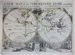
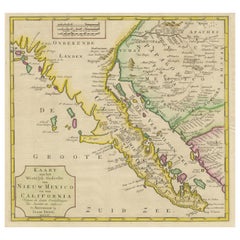
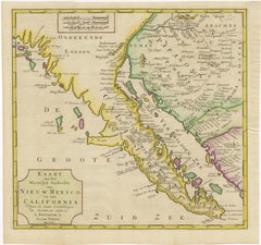
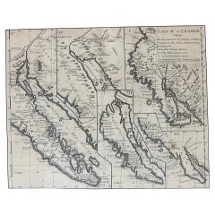
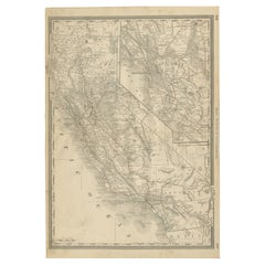
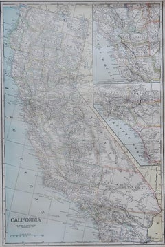
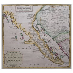
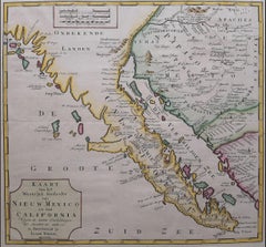
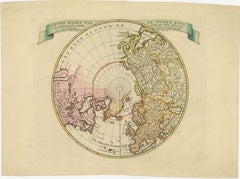
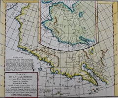
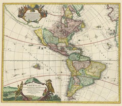
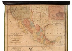
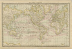
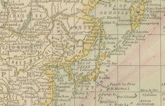
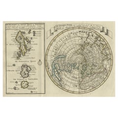
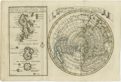
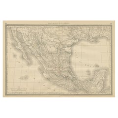
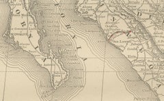
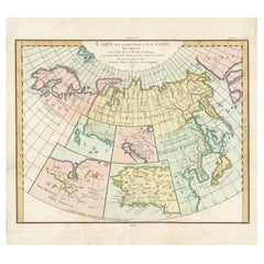
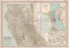
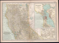
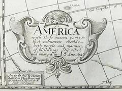
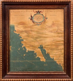
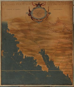
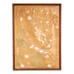
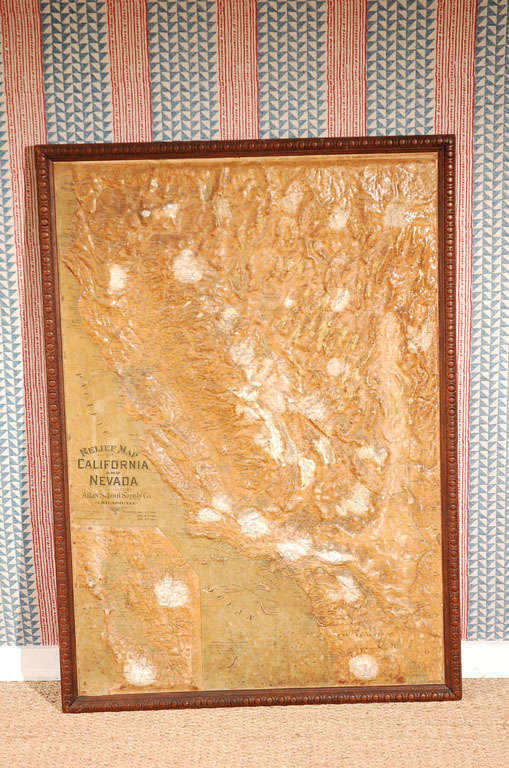
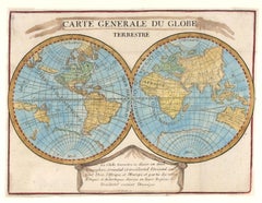
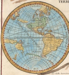
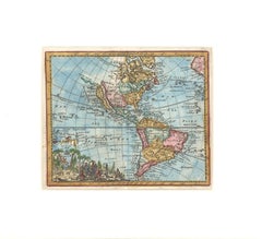
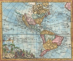
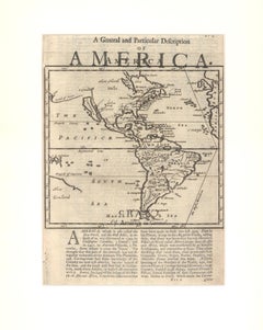
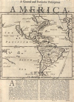
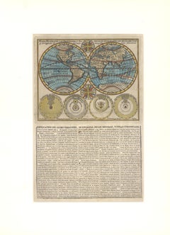
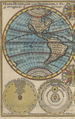
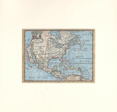
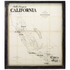
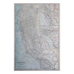
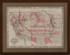
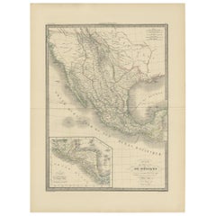
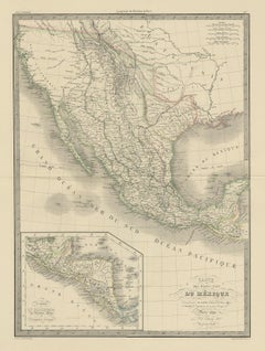
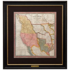
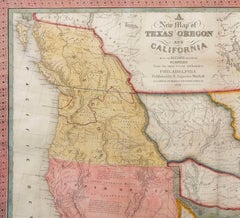
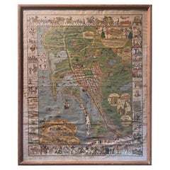
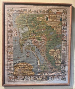
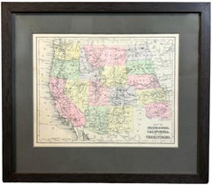
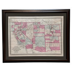
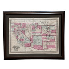
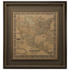
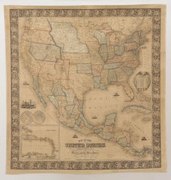
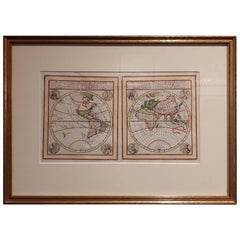
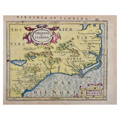
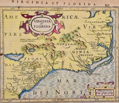
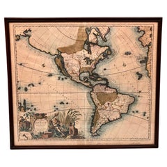
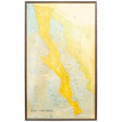
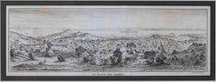
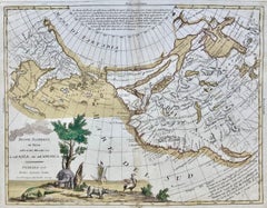
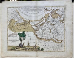
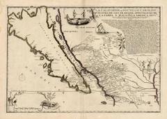
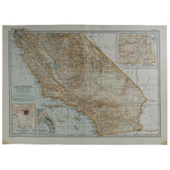
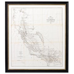
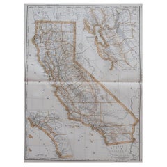
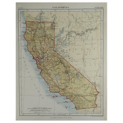
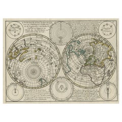
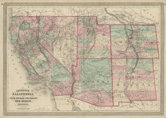
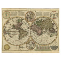
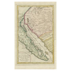
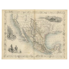
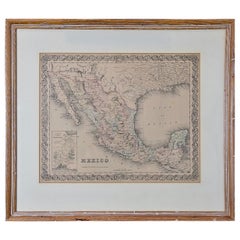
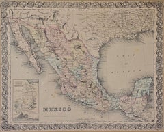
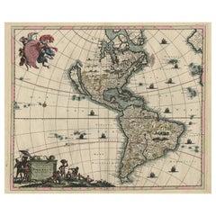
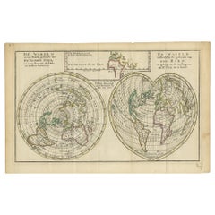
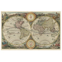
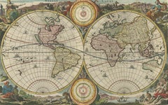
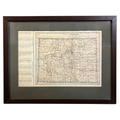
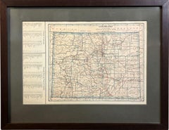
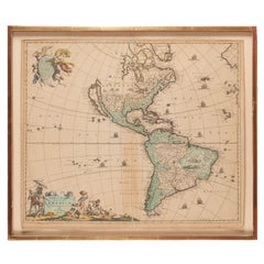
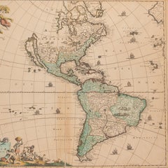
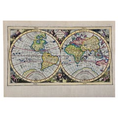
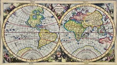
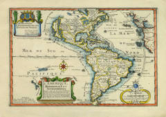
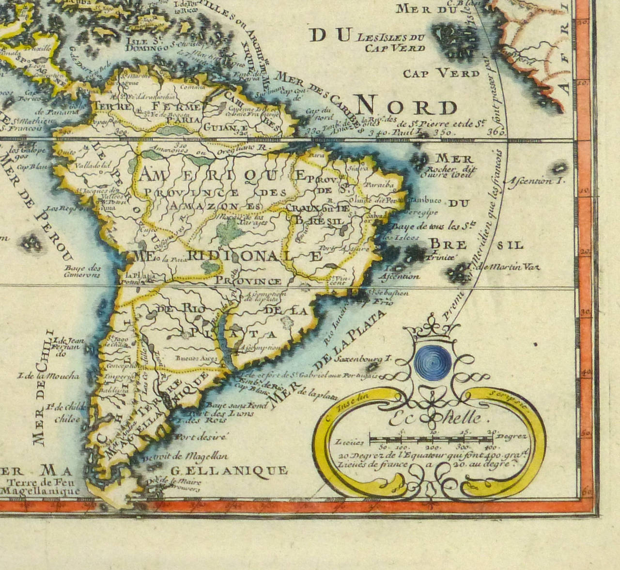
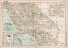
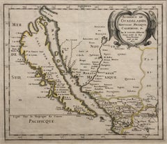
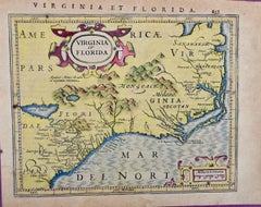
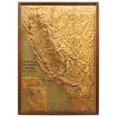
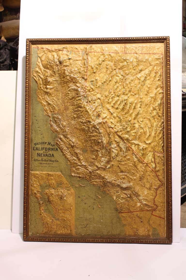
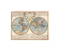
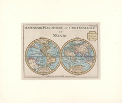
Choose from an assortment of styles, material and more with respect to the antique maps california you’re looking for at 1stDibs. Each antique maps california for sale was constructed with extraordinary care, often using paper and wood. Your living room may not be complete without an antique maps california — find older editions for sale from the 18th Century and newer versions made as recently as the 20th Century. An antique maps california, designed in the Mid-Century Modern or Victorian style, is generally a popular piece of furniture. A well-made antique maps california has long been a part of the offerings for many furniture designers and manufacturers, but those produced by 
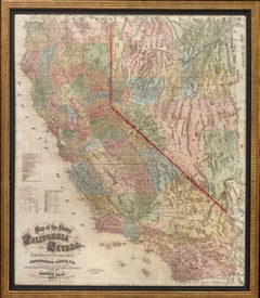
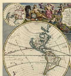
Samuel Augustus Mitchell, 
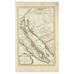
A. Marston & Co. and 
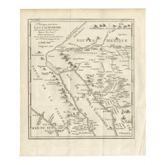
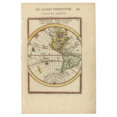
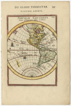
Didier Robert de Vaugondy are consistently popular.

How Much is a Antique Maps California?

An antique maps california can differ in price owing to various characteristics — the average selling price 1stDibs is $875, while the lowest priced sells for $55 and the highest can go for as much as $135,000.

Read More

Dickens Fan on Your List? This First Edition of ‘A Christmas Carol’ Is a Treasure

Produced in 1843, the well-preserved volume is evidence of the author's exacting specifications.

Patchwork Quilts Are the Latest Nostalgic Design Trend

New or old, the coverlets add old-time charm to any space.

Medal-Worthy Memorabilia from Epic Past Olympic Games

Get into the games! These items celebrate the events, athletes, host countries and sporting spirit.

Ahoy! You’ve Never Seen a Collection of Sailor Art and Kitsch Quite Like This

French trendsetter and serial collector Daniel Rozensztroch tells us about his obsession with objects related to seafaring men.

39 Incredible Swimming Pools

It's hard to resist the allure of a beautiful pool. So, go ahead and daydream about whiling away your summer in paradise.

Pamela Shamshiri Shares the Secrets behind Her First-Ever Book and Its Effortlessly Cool Interiors

The sought-after designer worked with the team at Hoffman Creative to produce a monograph that beautifully showcases some of Studio Shamshiri's most inspiring projects.

Moroccan Artworks and Objects Take Center Stage in an Extraordinary Villa in Tangier

Italian writer and collector Umberto Pasti opens the doors to his remarkable cave of wonders in North Africa.

Montecito Has Drawn Royalty and Celebrities, and These Homes Are Proof of Its Allure

Hollywood A-listers, ex-pat aristocrats and art collectors and style setters of all stripes appreciate the allure of the coastal California hamlet — much on our minds after recent winter floods.