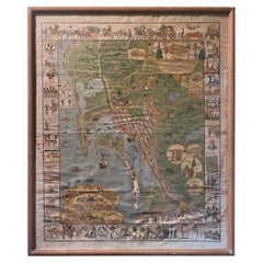
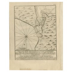
Antique Whimsical Map of San Diego, California by Jo Mora for Marston Stores
View Similar Items


Want more images or videos?
Request additional images or videos from the seller
1 of 17
Antique Whimsical Map of San Diego, California by Jo Mora for Marston Stores
About the Item
- Creator:A. Marston & Co. (Retailer),Jo Mora (Artist)
- Dimensions:Height: 30.5 in (77.47 cm)Width: 25.25 in (64.14 cm)Depth: 0.5 in (1.27 cm)
- Materials and Techniques:
- Place of Origin:
- Period:
- Date of Manufacture:1928
- Condition:Wear consistent with age and use. Minor losses. Minor fading. The map and frame are in fair condition with a number of stains, blotches and wrinkles (please see pictures).
- Seller Location:San Diego, CA
- Reference Number:Seller: #19681stDibs: LU936626520402
About the Seller
4.9
Platinum Seller
These expertly vetted sellers are 1stDibs' most experienced sellers and are rated highest by our customers.
Established in 2000
1stDibs seller since 2012
3,251 sales on 1stDibs
Typical response time: 1 hour
More From This SellerView All
- University of Southern California Traveler Mascot Wood Carving by Carter HoffmanLocated in San Diego, CAA very cool and hard to find University of Southern California (USC) "Traveler" horse mascot wood carving by Carter Hoffman, circa 1950s. The piece is i...Category
Mid-20th Century American Animal Sculptures
MaterialsWood
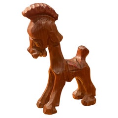 $520 Sale Price20% Off
 - Massive Vintage Wall Map of the Soviet Union 'Sowjetunion' by Karl WenschowBy Denoyer-GeppertLocated in San Diego, CAA massive vintage wall map of the Soviet Union (Sowjetunion) published by Karl Wenschow in Munich, Germany, circa 1950s. The map was distributed by De...Category
Mid-20th Century American Maps
MaterialsWood, Paper
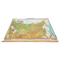 $540 Sale Price20% Off
 - Vintage "View of the Center of Paris Taken from the Air" Lithograph MapLocated in San Diego, CAA very stylish "View of the Center of Paris Taken from the Air" lithograph map published by the Paris Ministry of Tourism, circa early 1950s. The piece measures 27" x 43" and shows...Category
20th Century French Mid-Century Modern Prints
MaterialsPaper
 $680 Sale Price20% Off
 - Antique Track & Field Discus by Cantabrian of EnglandLocated in San Diego, CAA nice antique track & field discus by Cantabrian of England, circa 1940s. The piece is in very good vintage condition and measures 9"D x 2"H. it is signed in the middleplate and h...Category
Early 20th Century Sports Equipment and Memorabilia
MaterialsIron
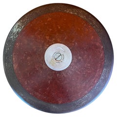 $220 Sale Price20% Off
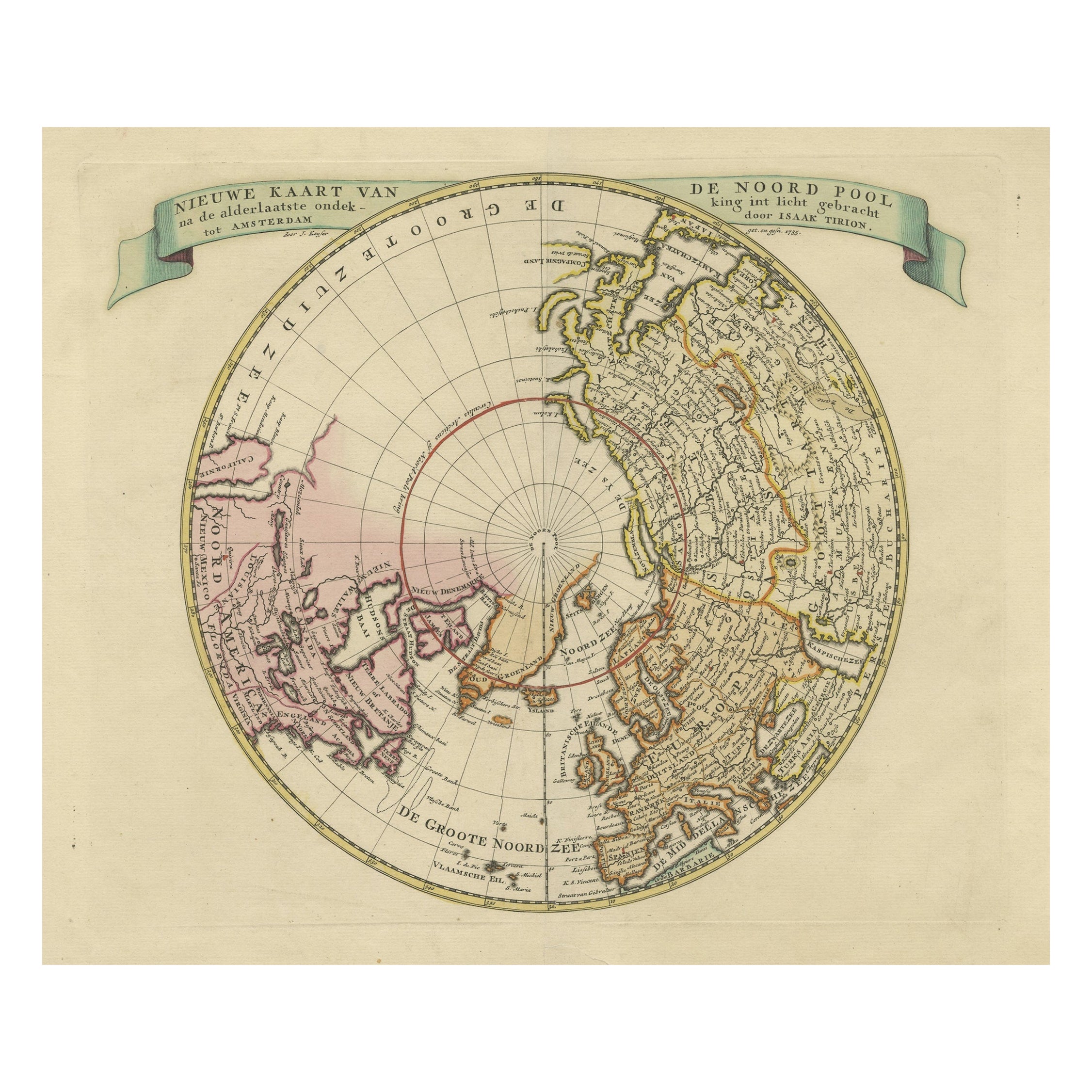
 - Huge Europe and Asia Vintage Wall MapLocated in San Diego, CAA huge Europe and Asia vintage wall map, circa 1950s. The map is in fair vintage condition and measures 78"W x 73"H". #2863Category
Mid-20th Century American Maps
MaterialsPaper
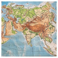 $380 Sale Price20% Off
 - Ellamarie Woolley San Diego 200 Arts & Crafts PosterBy Ellamarie WoolleyLocated in San Diego, CAA super rare and hard to find Ellamarie Woolley San Diego 200 arts & crafts poster, circa 2000. The piece is in good condition with a very small water stain on the bottom right of th...Category
21st Century and Contemporary North American Posters
MaterialsWood, Paper
 $380 Sale Price20% Off
You May Also Like
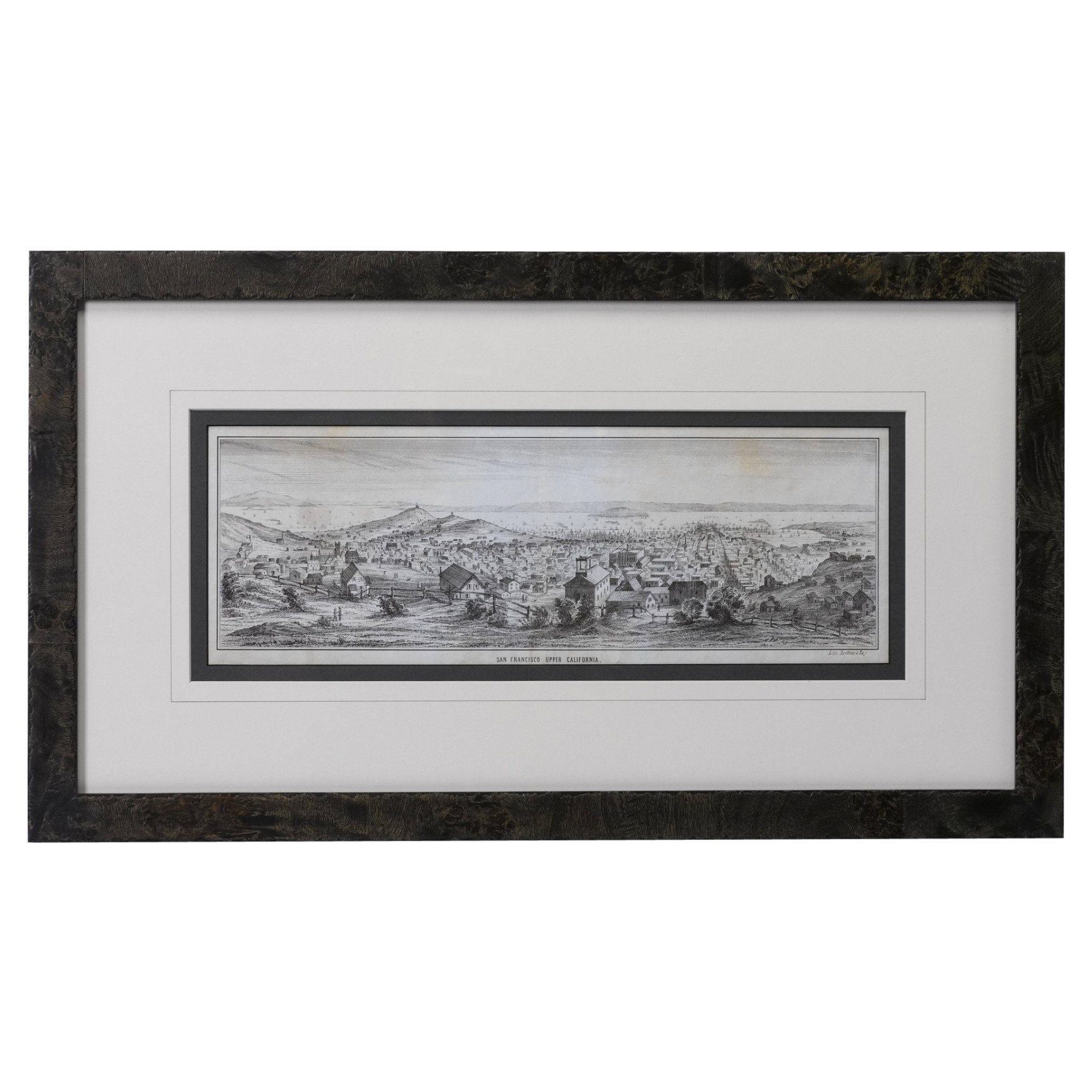
- "San Francisco, Upper California” 1851 Antique Map of San FranciscoLocated in Colorado Springs, COThis is a pictorial lettersheet view of the city and harbor of San Francisco. This lithograph was printed on grey wove paper, across a double sheet, by famed lithographers Britton & ...Category
Antique 1850s American Prints
MaterialsPaper
 $1,200 Sale Price20% Off
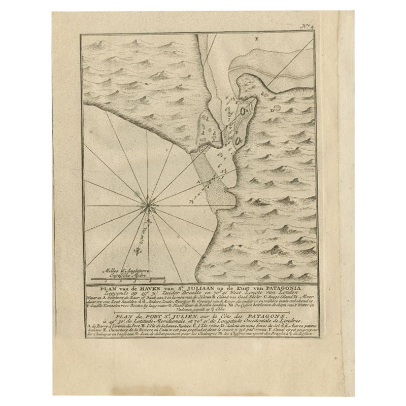
 - Antique Map of Puerto San Julian in Patagonia, 1749Located in Langweer, NLAntique map titled 'Plan van de Haven van St. Juliaan op de Kust van Patagonia (..) - Plan du Port St. Julien, sur la Côte des Patagons (..)'. Original antique map of St. Julian on t...Category
Antique 18th Century Maps
MaterialsPaper
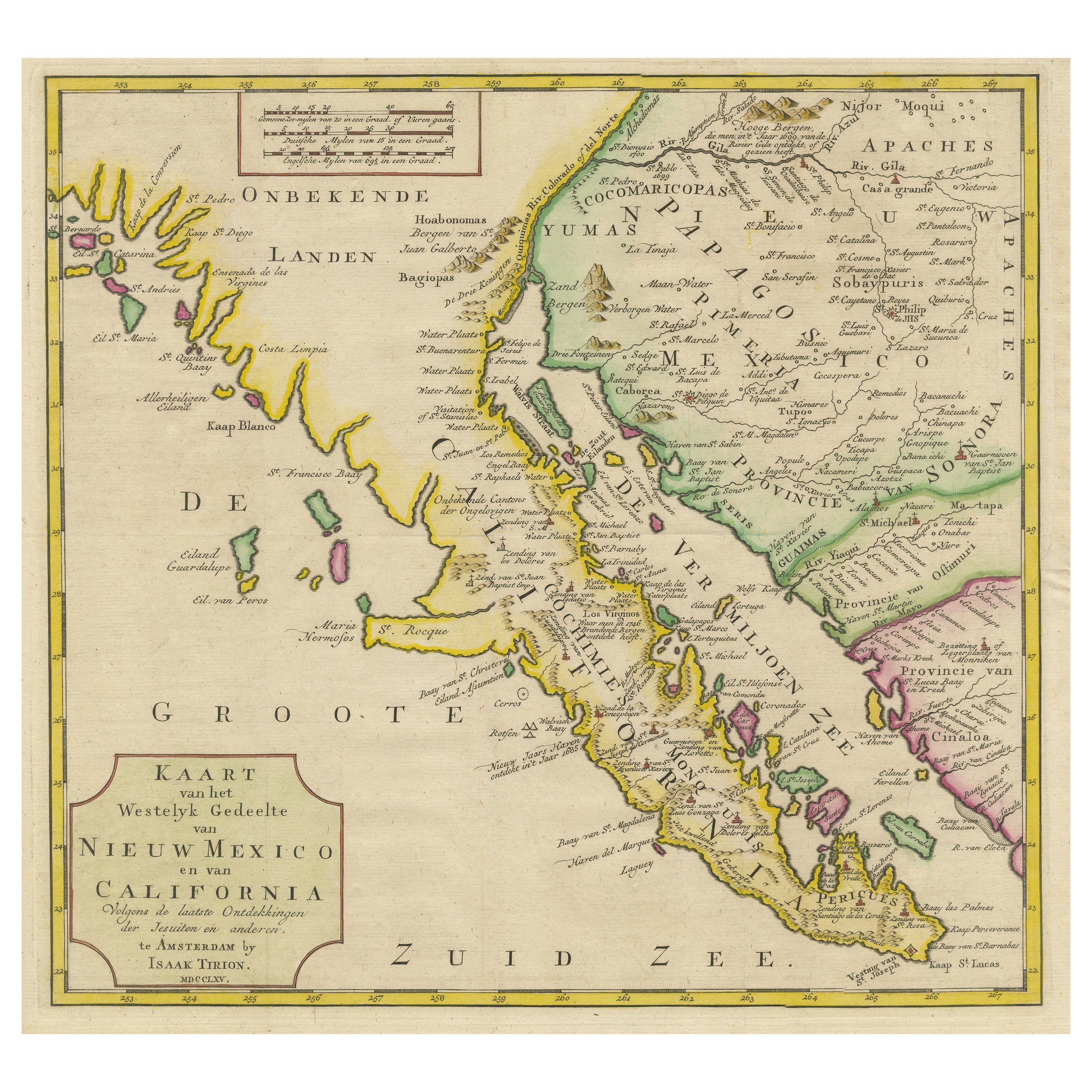
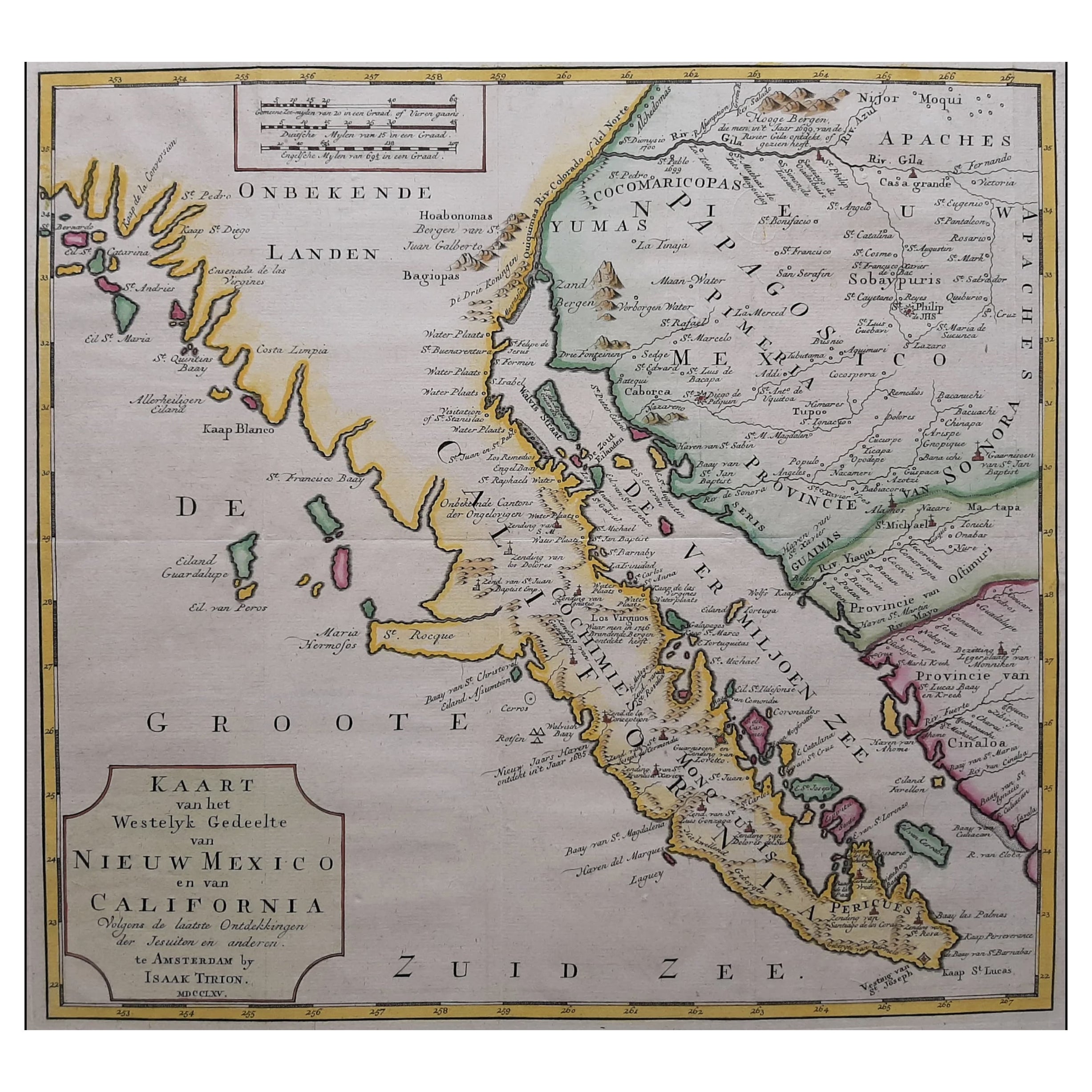
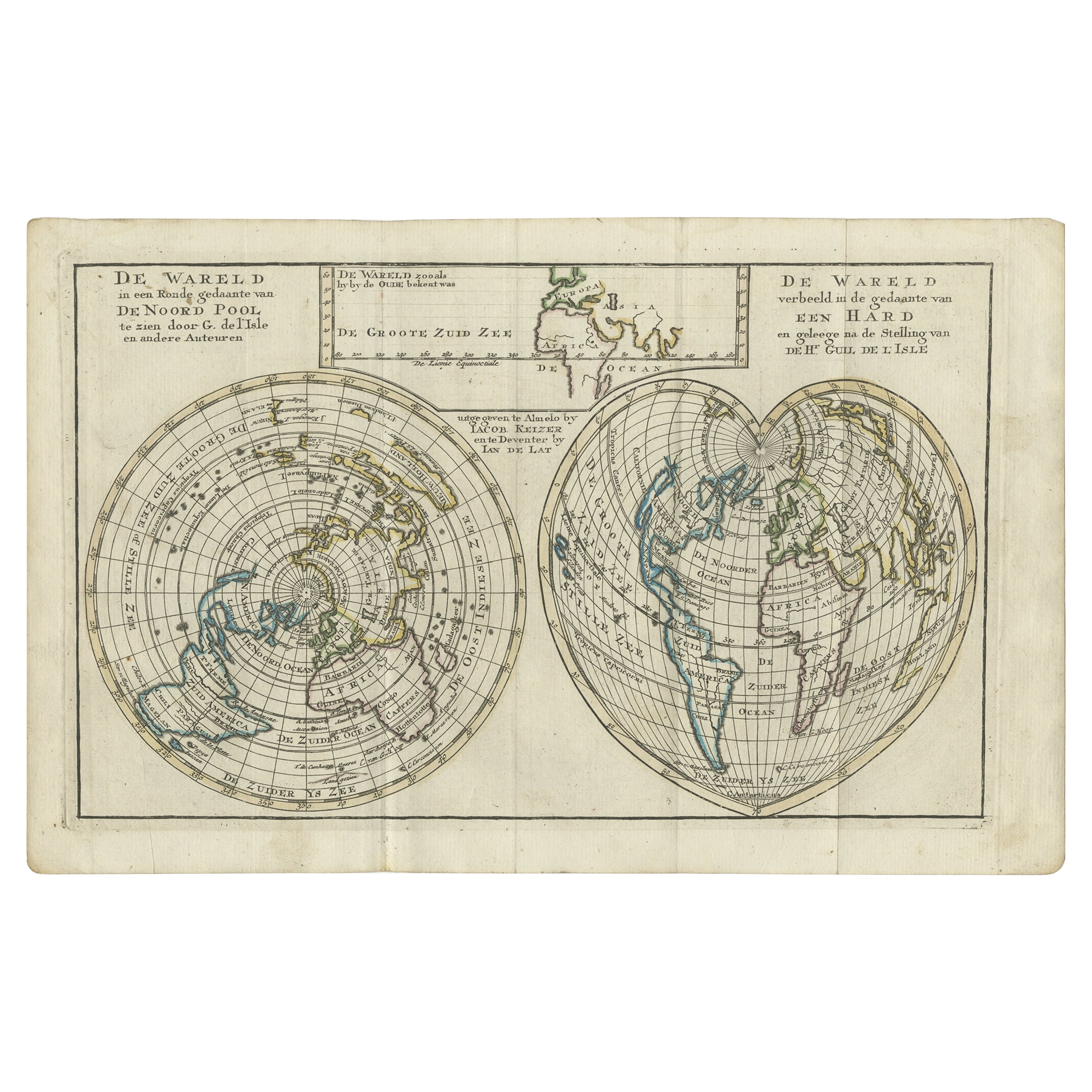
- Antique Map of Baja California and parts of Alta California, Arizona and SonoraLocated in Langweer, NLAntique map titled 'Kaart van het Westelyk Gedeelte van Nieuw Mexico en van California'. Beautiful map of Baja California and parts of Alta California, Arizona and Sonora. Isaac Tiri...Category
Antique Mid-18th Century Maps
MaterialsPaper
 $870 Sale Price20% OffFree Shipping
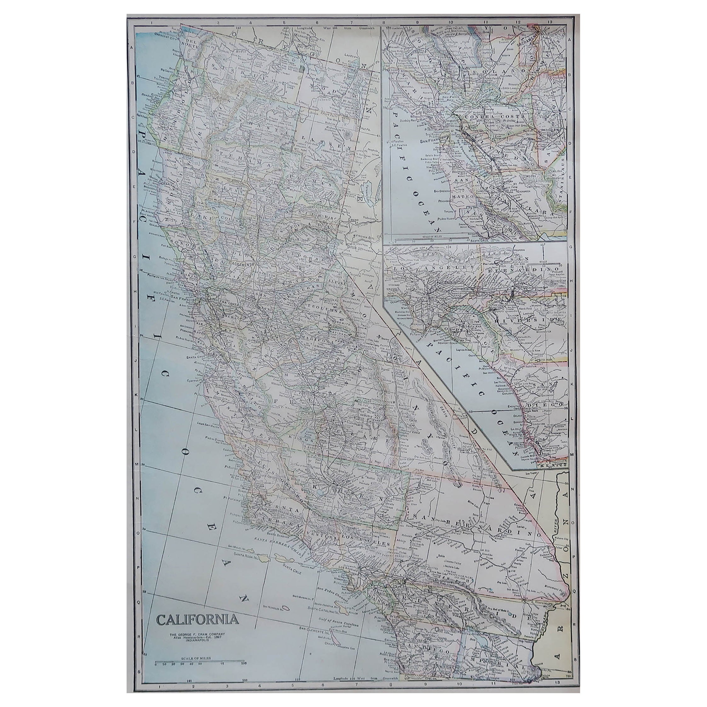
 - Large Original Antique Map of California, USA, circa 1900Located in St Annes, LancashireFabulous map of California Original color Engraved and printed by the George F. Cram Company, Indianapolis. Published, circa 1900 Unframed Free shipping.Category
Antique 1890s American Maps
MaterialsPaper
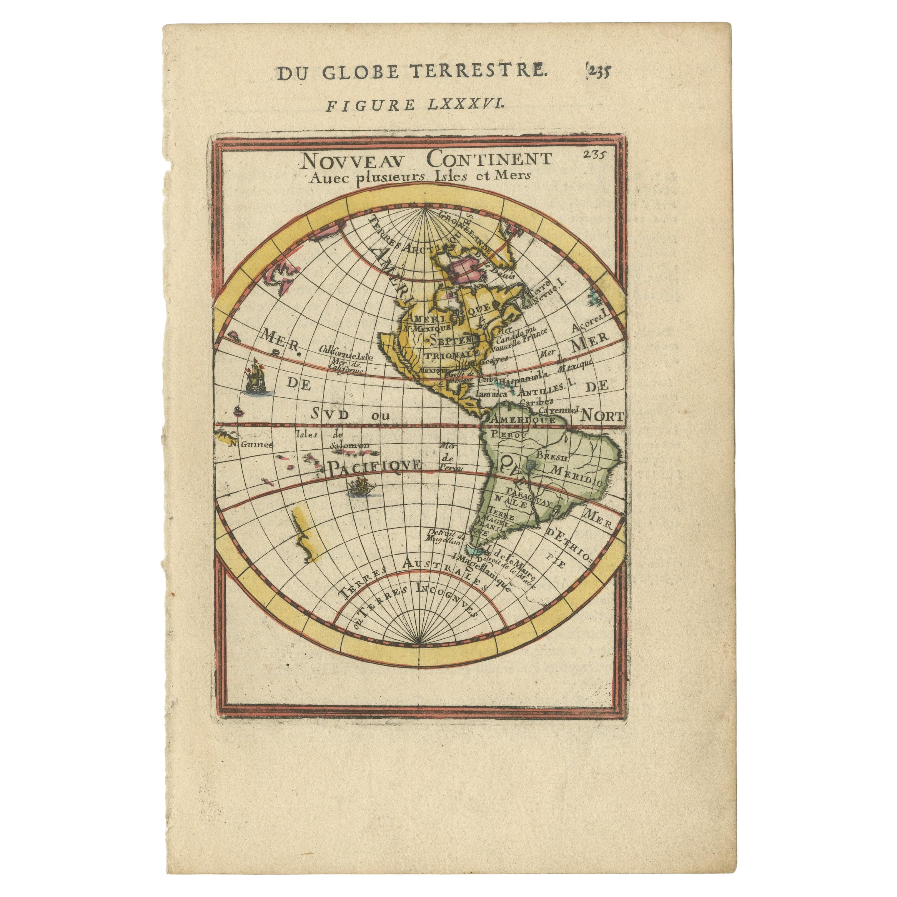
- Antique Map of America with California as an Island by Homann '1710'Located in Langweer, NLThis antique map, titled "Totius Americae Septentrionalis et Meridionalis," represents a significant cartographic piece from 1710 by Johann Baptist Homann. Here's a description of this remarkable map: - **Title**: Totius Americae Septentrionalis et Meridionalis (...) - **Date**: Published in 1710 by Johann Baptist Homann. **Description**: This map is a first edition of Johann Baptiste Homann's map of America, and it is notable for several cartographic features and historical representations: 1. **California as an Island...Category
Antique Early 18th Century Maps
MaterialsPaper
 $2,198 Sale Price20% Off
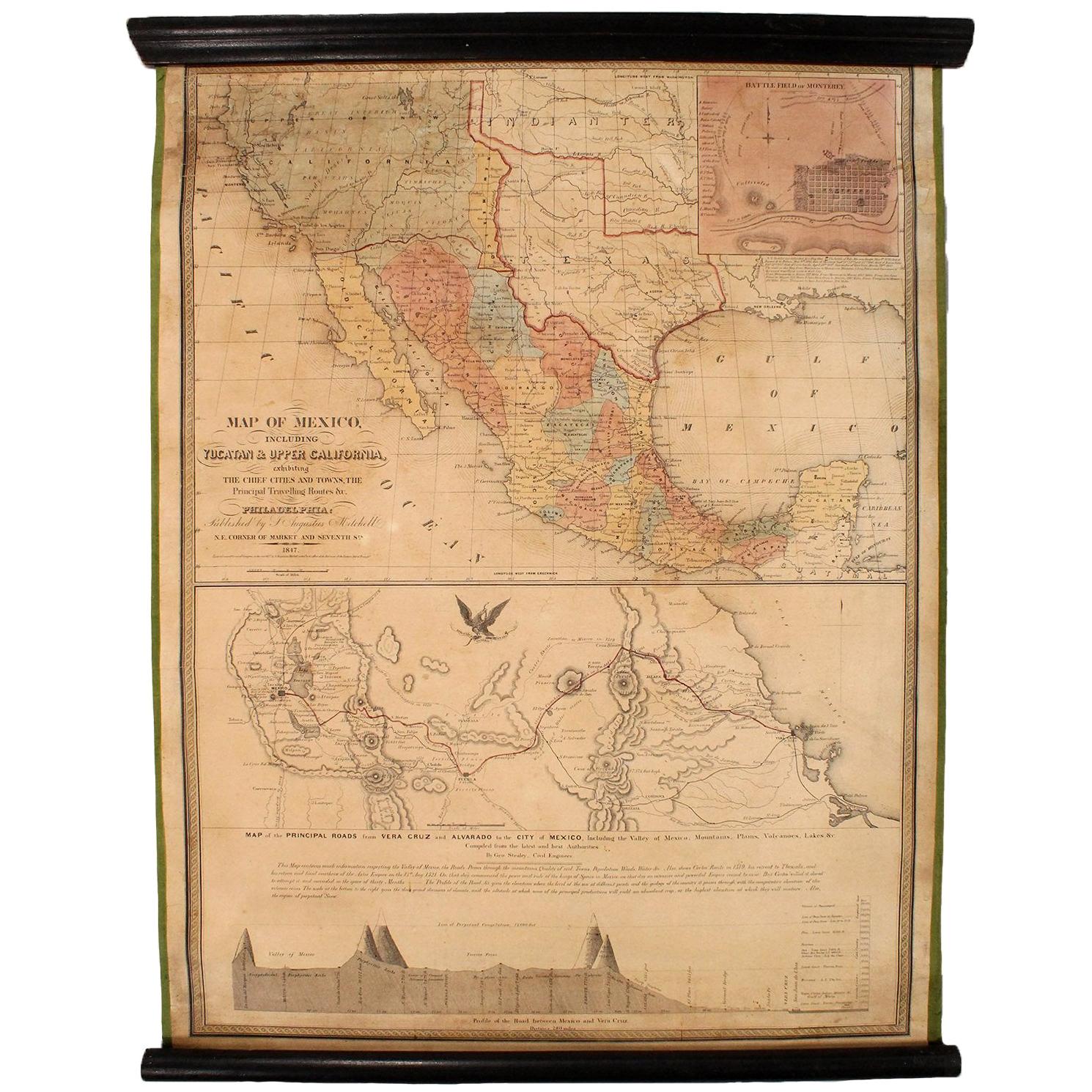
 - 1847 Antique Map of Mexico, Texas and California by Samuel Augustus MitchellBy Samuel Augustus Mitchell 1Located in Colorado Springs, COPresented is the second edition of Samuel Augustus Mitchell's Map of Mexico, Including Yucatan & Upper California, an important map showing the progress of the Mexican-American War. ...Category
Antique 1840s American Maps
MaterialsPaper

Recently Viewed
View AllMore Ways To Browse
Mora Antiques
Downtown Antiques
Antique Map California
Antique Maps California
Antique Map Of California
Antique Maps Of California
California Antique Map
Old Crow
Framed Antique Bird Print
Crows Nest
Antique Bird Nest Prints
Birds Eye View Map
Old Map California
Old Map Of California
San Diego Map
Antique Furniture San Diego
Diego Rodriguez
George Rodriguez