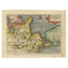
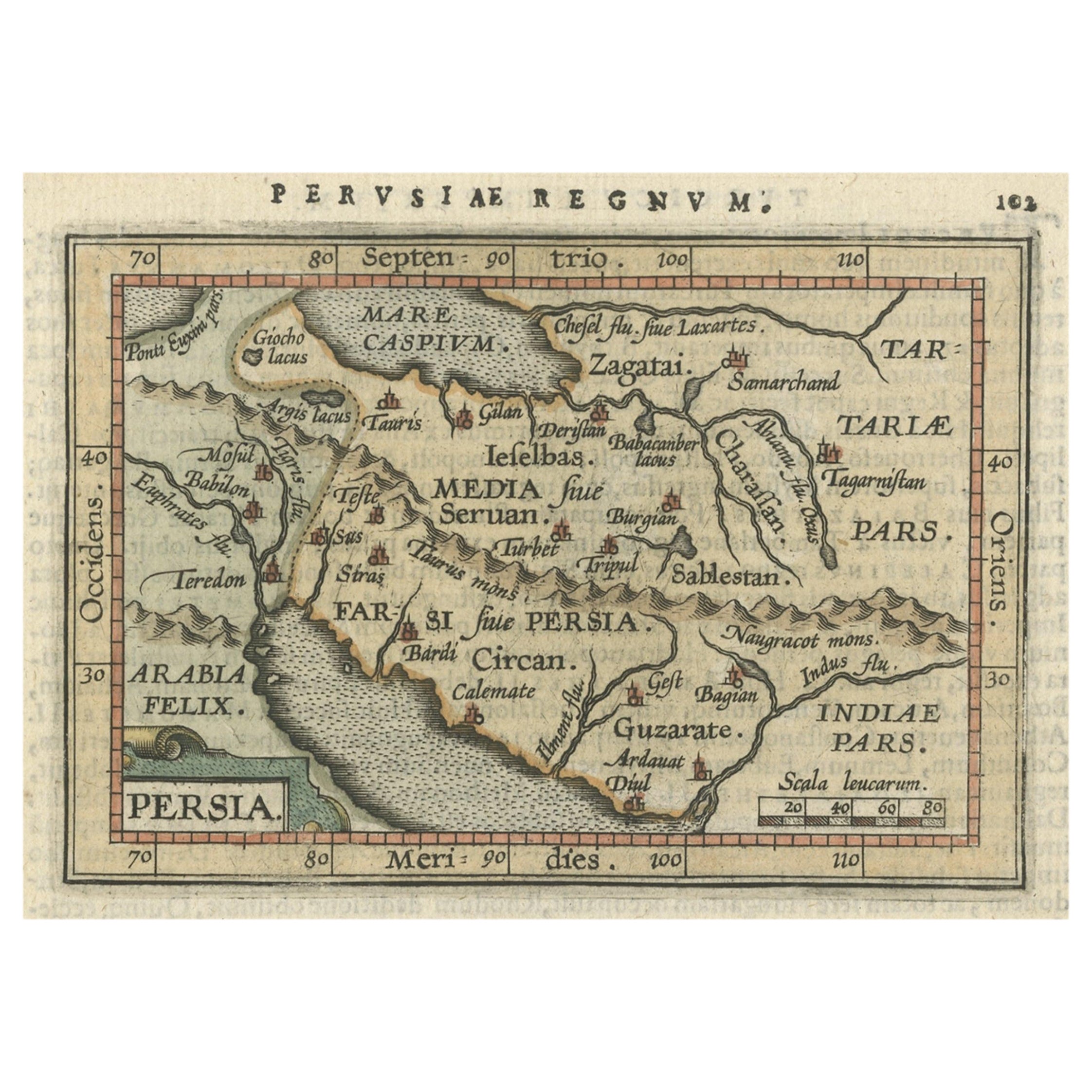
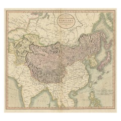
Rare Miniature Map of Tartary, California and Japan, ca. 1655
View Similar Items


Want more images or videos?
Request additional images or videos from the seller
1 of 5
Rare Miniature Map of Tartary, California and Japan, ca. 1655
About the Item
- Dimensions:Height: 3.55 in (9 cm)Width: 4.73 in (12 cm)Depth: 0 in (0.02 mm)
- Materials and Techniques:
- Period:1650-1659
- Date of Manufacture:1655
- Condition:
- Seller Location:Langweer, NL
- Reference Number:Seller: BG-13107-11stDibs: LU3054326059212
About the Seller
5.0
Platinum Seller
These expertly vetted sellers are 1stDibs' most experienced sellers and are rated highest by our customers.
Established in 2009
1stDibs seller since 2017
1,932 sales on 1stDibs
More From This SellerView All
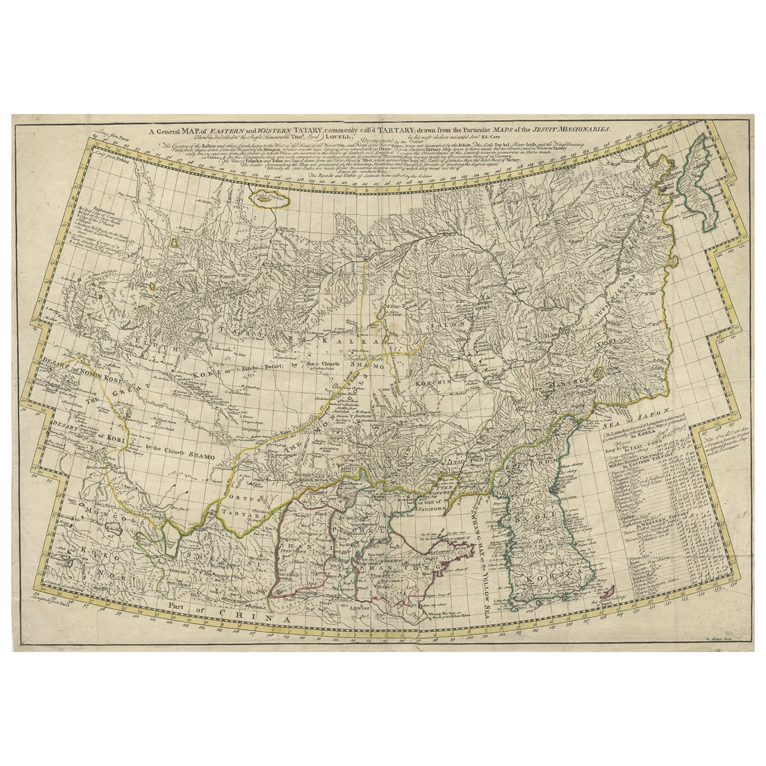
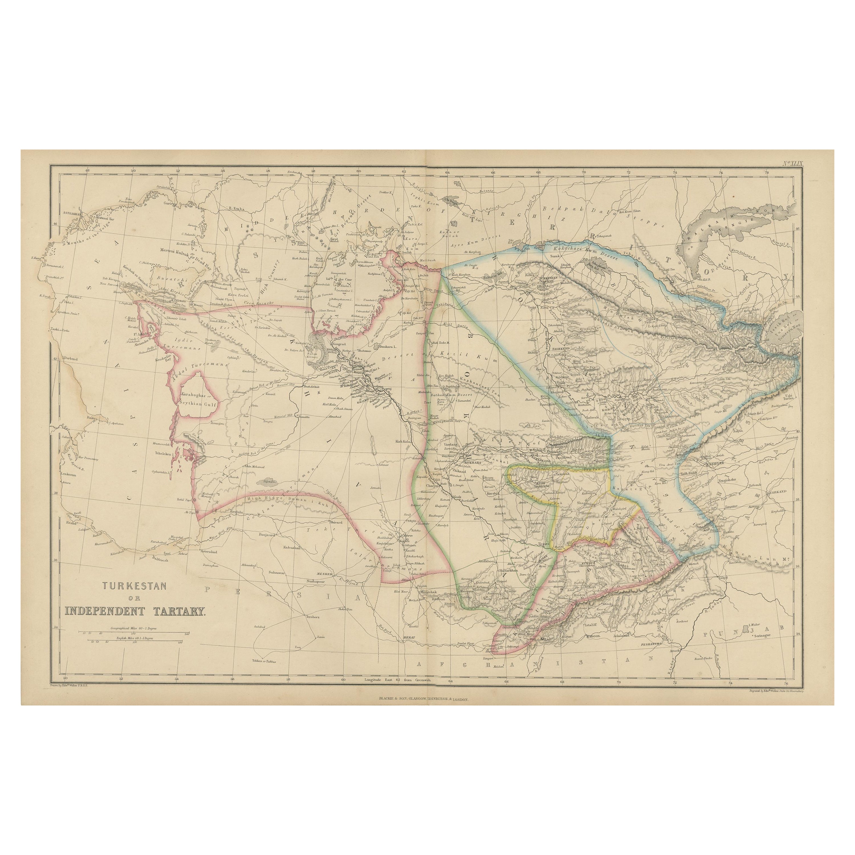
- Rare Hand-Colored Antique Map of Tartary, China and Korea, ca.1741Located in Langweer, NLAntique map titled 'A General Map of Eastern and Western Tatary, commonly call'd Tartary; drawn from the Particular Maps of the Jesuit Missionaries'. Rare antique map of Tartary, C...Category
Antique 1740s Maps
MaterialsPaper
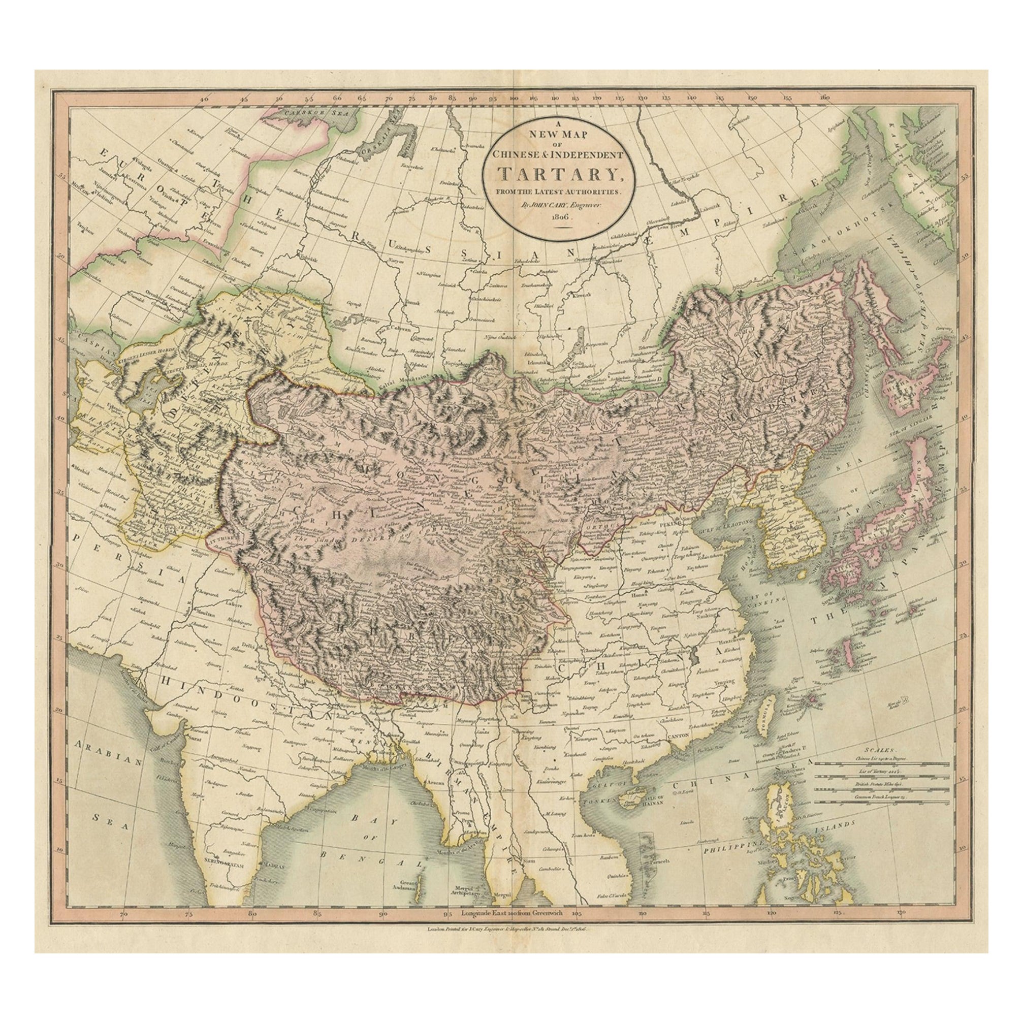
- Antique Map of Chinese and Independent Tartary, Korea and Japan, 1806Located in Langweer, NLAntique map titled 'A New Map of Chinese & Independent Tartary'. Beautiful map of Chinese Tartary, Korea and Japan. Artists and Engravers: John Cary (1755-1835) was a British car...Category
Antique 19th Century Maps
MaterialsPaper
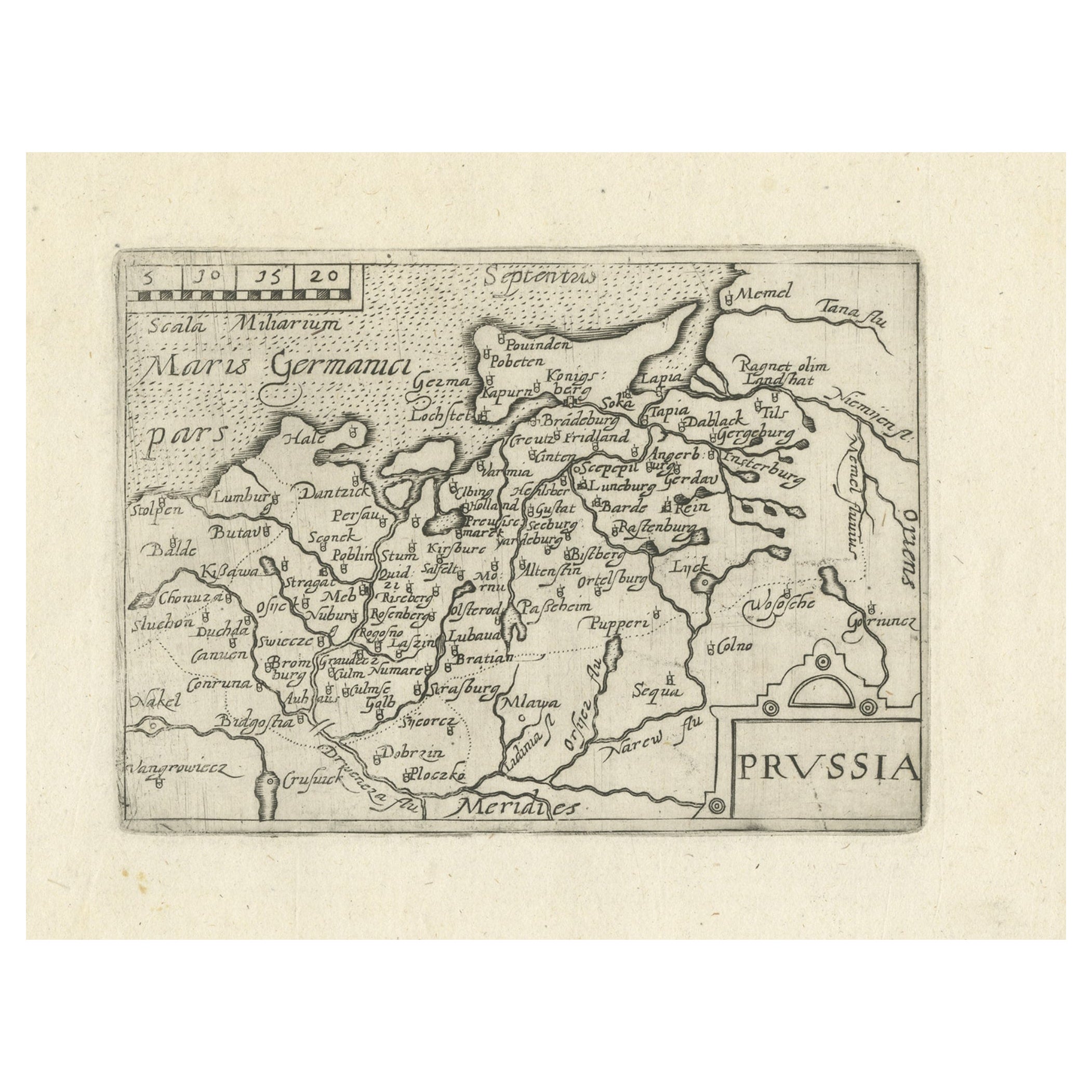
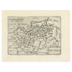
- Extremele Rare, Original Miniature Map of Prussia, ca.1640Located in Langweer, NLAntique map titled 'Prussia'. Extremele rare, original miniature map of Prussia, a historically prominent German state that originated in 1525 with a du...Category
Antique 1640s Maps
MaterialsPaper
 $770 Sale Price20% Off
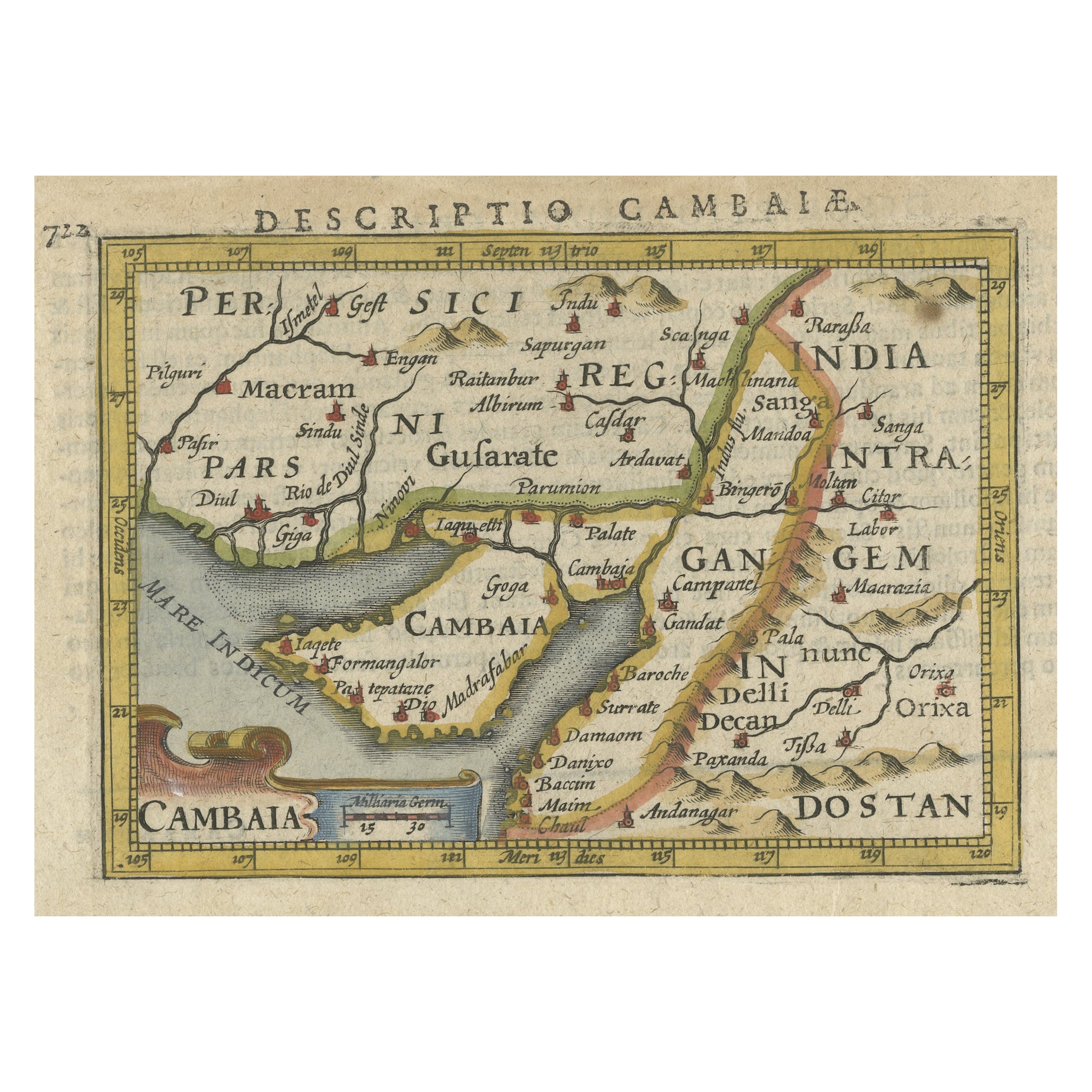
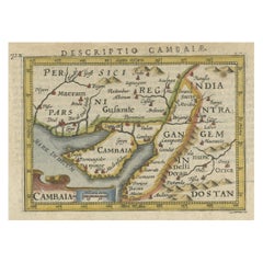
 - Rare Antique Miniature Map of Pakistan, India and Cambaia, ca.1616Located in Langweer, NLOld 17th century miniature antique map of 'Cambaia' , from the 1616 edition of Jadocus Hondius Atlas by Petrus Bertius. Original copperplate engraving with hand coloring. Carto...Category
Antique 17th Century Maps
MaterialsPaper
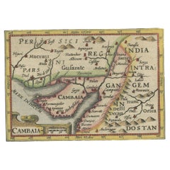
- Rare Antique Miniature Map of Pakistan, India and Cambaia, ca.1618Located in Langweer, NLOld 17th century miniature antique map of 'Cambaia' , from the 1616 edition of Jadocus Hondius Atlas by Petrus Bertius. Original copperplate engraving with hand coloring. Carto...Category
Antique 17th Century Maps
MaterialsPaper
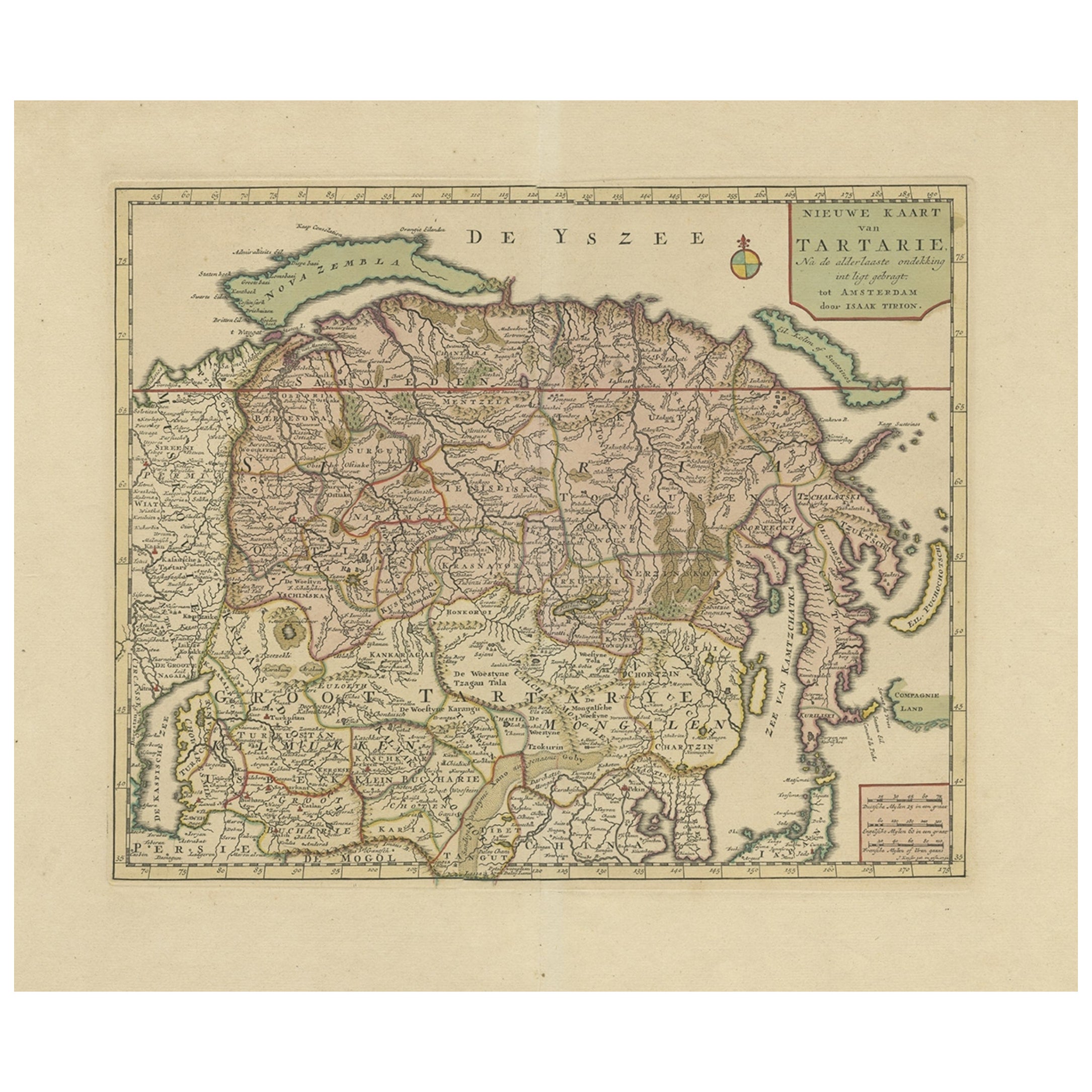
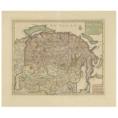
- Antique Map of Siberia and Chinese Tartary, Incl Nova Zembla, ca.1732Located in Langweer, NLAntique map of Tartary titled 'Nieuwe Kaart van Tartarie na de alderlaatste ondekking int ligt gebracht tot Amsterdam door Isaak Tirion'. Map op Siberia and Chinese tartary. In t...Category
Antique 1730s Maps
MaterialsPaper
You May Also Like
- "San Francisco, Upper California” 1851 Antique Map of San FranciscoLocated in Colorado Springs, COThis is a pictorial lettersheet view of the city and harbor of San Francisco. This lithograph was printed on grey wove paper, across a double sheet, by famed lithographers Britton & ...Category
Antique 1850s American Prints
MaterialsPaper
 $1,200 Sale Price20% Off
 - California, Alaska and Mexico: 18th Century Hand-Colored Map by de VaugondyBy Didier Robert de VaugondyLocated in Alamo, CAThis an 18th century hand-colored map of the western portions of North America entitled "Carte de la Californie et des Pays Nord-Ouest separés de l'Asie par le détroit d'Anian, extra...Category
Antique 1770s French Maps
MaterialsPaper
- Map of the Republic of GenoaLocated in New York, NYFramed antique hand-coloured map of the Republic of Genoa including the duchies of Mantua, Modena, and Parma. Europe, late 18th century. Dimension: 25...Category
Antique Late 18th Century European Maps
- Antique Map of Principality of MonacoBy Antonio Vallardi EditoreLocated in Alessandria, PiemonteST/619 - "Old Geographical Atlas of Italy - Topographic map of ex-Principality of Monaco" - ediz Vallardi - Milano - A somewhat special edition ---Category
Antique Late 19th Century Italian Other Prints
MaterialsPaper
 $227 Sale Price74% Off
 - Old Nautical Map of CorsicaLocated in Alessandria, PiemonteST/556/1 - Old map of Corsica isle, surveyed by Captain Hell, of the French Royal Navy in 1824, engraved and published on 1874, with additions and corre...Category
Antique Early 19th Century English Other Prints
MaterialsPaper
 $350 Sale Price20% Off
 - Old Horizontal Map of EnglandBy TassoLocated in Alessandria, PiemonteST/520 - Old rare Italian map of England, dated 1826-1827 - by Girolamo Tasso, editor in Venise, for the atlas of M.r Le-Sage.Category
Antique Early 19th Century Italian Other Prints
MaterialsPaper
 $236 Sale Price20% Off


Recently Viewed
View AllMore Ways To Browse
Dutch Originals
Antique Furniture California
Japanese Antique Collectables
Antique Italian Map
Antique Italy Map
Italy Antique Map
Italy Map Antique
Antique Maps Italy
Antique Map Italy
Antique Italian Maps
Antique Italy Maps
California Map
Map Of California
Dutch 1650
Miniatures Japan
Map Japan
Japan Maps
Map Of Japan