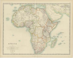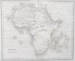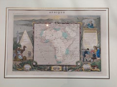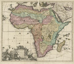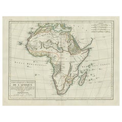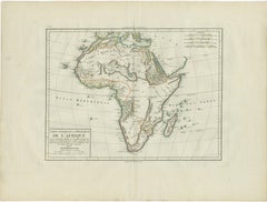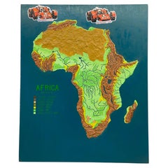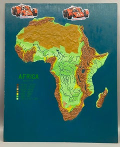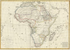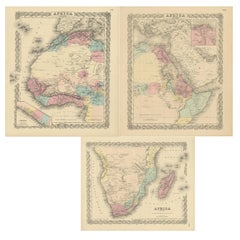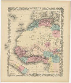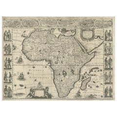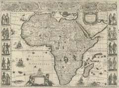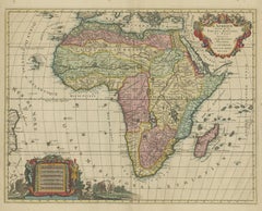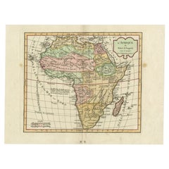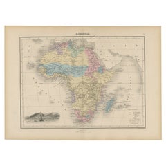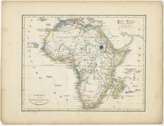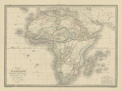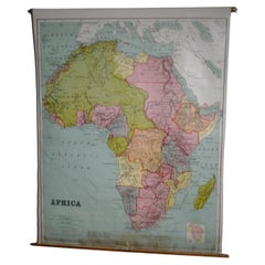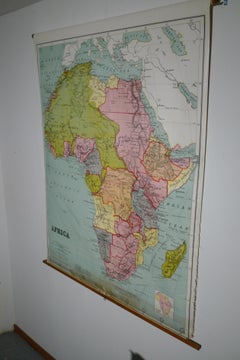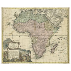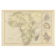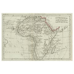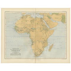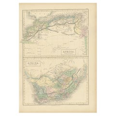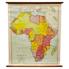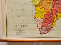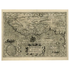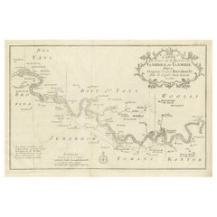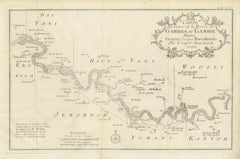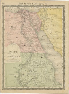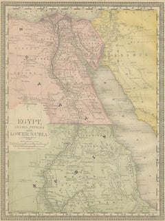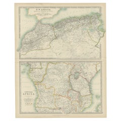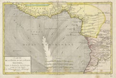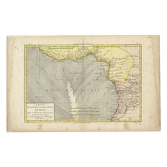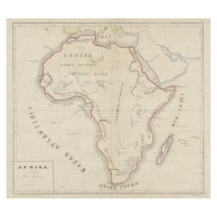
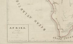
Original Antique Map of Africa
$320Sale Price|20% Off
Original Antique Map of Africa
Located in Langweer, NL
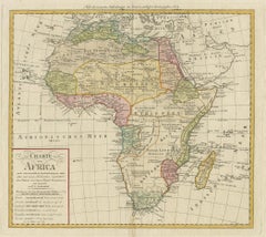
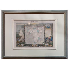
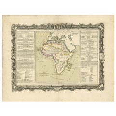
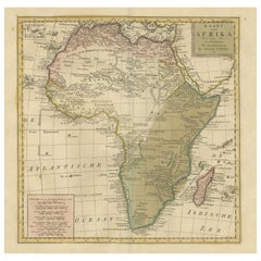
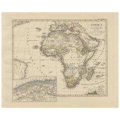
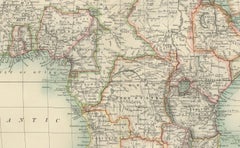
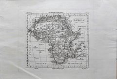
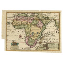
Antique map titled 'Afrika'. Original antique map of Africa, drawn by Van Beusekom. Published by
Category
Antique Late 19th Century Maps
Materials
Paper