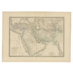
Antique Map by Pierre M. Lapie, Turkey, Persia, Afghanistan, 1842
By Pierre M. Lapie
Located in Langweer, NL
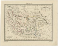
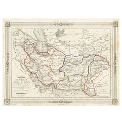
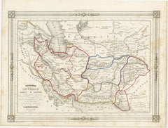
Antique map titled 'Carte de la Turquie d'Asia, de la Perse, de l'Afghanistan'.
Category
Antique 19th Century French Maps
Materials
Paper
Antique Map by Pierre M. Lapie, Turkey, Persia, Afghanistan, 1842
By Pierre M. Lapie
Located in Langweer, NL
Antique map titled 'Carte de la Turquie d'Asia, de la Perse, de l'Afghanistan'.
Paper
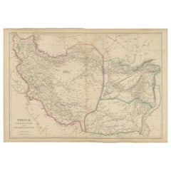
Persia, Afghanistan and Beloochistan, Antique Map of Iran Region, Blackie 1860
Located in Langweer, NL
Persia, Afghanistan and Beloochistan, Antique Map of Iran Region, Blackie 1860 Description: This original antique map titled Persia, Afghanistan and Beloochistan presents a detailed...
Paper
Antique Persia Map, Iran Afghanistan & Central Asia, The Great Game Era, c.1850
Located in Langweer, NL
Antique Persia Map, Iran Afghanistan & Central Asia, The Great Game Era, c.1850 A finely detailed and historically rich map of Persia and its surrounding regions, offering a com...
Paper
$183Sale Price|20% Off
Antique Map of Afghanistan and Surroundings, '1845'
Located in Langweer, NL
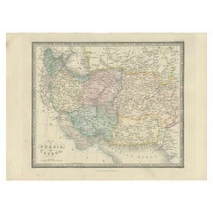
Antique map titled 'Map of Persia and Caubul'. Original antique map of Afghanistan and surroundings.
Paper
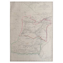
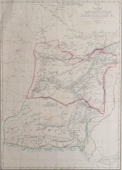
Large Original Antique Map of Afghanistan. Edward Weller, 1861
Located in St Annes, Lancashire
Great map of Afghanistan Lithograph engraving by Edward Weller Original colour Published, 1861 Unframed Good condition
Paper
$229Sale Price|20% Off
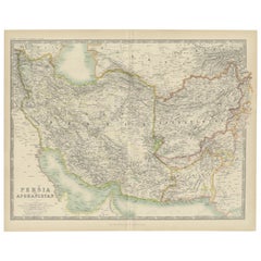
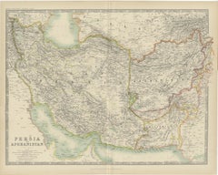
Antique Map of Persia and Afghanistan by Johnston '1909'
Located in Langweer, NL
Antique map titled 'Persia and Afghanistan'. Original antique map of Persia and Afghanistan.
Paper
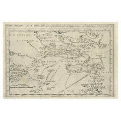
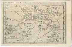
Old Map of Turkmenistan, Uzbekistan, Afghanistan, Tajikistan, Kyrgyzstan, 1757
Located in Langweer, NL
Bellin Ingenieur ved Marinen efter Söe Etaten'. Map of present-day Turkmenistan, Uzbekistan, Afghanistan, Tajikistan, Kyrgyzstan including part of China.
Paper
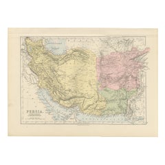
Antique Map of Persia, Afghanistan and Beloochistan – Black’s Atlas, 1884
Located in Langweer, NL
Here is a catalogue entry in your preferred format for the Persia map you uploaded, in plain text and without using *: --- Title: Antique Map of Persia, Afghanistan and Beloochista...
Paper
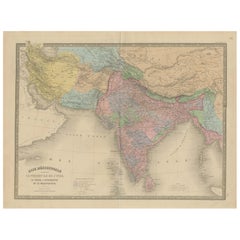
Antique Map of India, Persia & Afghanistan – Detailed Continental Engraving 1864
Located in Langweer, NL
Antique Map of India, Persia & Afghanistan – Andriveau-Goujon, Paris 1864 This detailed 19th-century map titled “Asie Méridionale comprenant la Presqu'île de l'Inde, la Perse, l'Afg...
Paper
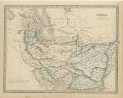
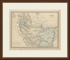
Antique Map of Persia and Afghanistan with Statistics, Philip, circa 1856
Located in Langweer, NL
With its statistical table and clear outline colour, this is an informative Victorian map of Iran and Afghanistan that frames well in a study or office.
Paper
$146Sale Price|20% Off
Persia Unveiled: Antique Map of Iran, Afghanistan, and Beyond, 1852
Located in Langweer, NL
Here are the key details and features of the map: 1. **Geographic Coverage**: - The map covers a significant portion of the region, including modern-day Iran and Afghanistan
Paper
Antique Map of Persia and Afghanistan, 1903, with Delicate Pastel Borders
Located in Langweer, NL
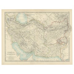
Title: Antique Map of Persia and Afghanistan, 1903, with Delicate Pastel Borders and Detailed Topography Description: This antique map, titled "Persia and Afghanistan," was engraved...
Paper
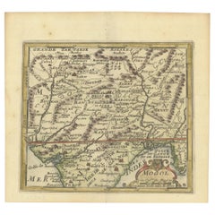

1692 Engraved Map: Detailed Mogul Empire, India to Afghanistan, Hand-Colored
Located in Langweer, NL
1692 Map of the Mogul Empire by Jacques Peeters This finely engraved map, published in 1692 by Jacques Peeters, showcases the Mogul Empire region, covering areas from northern India...
Paper
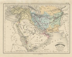
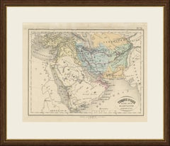
Antique Map of Turkey in Asia, Arabia, Persia and Afghanistan by Hachette
Located in Langweer, NL
This antique map of Turkey in Asia, Arabia, Persia, Baluchistan and Afghanistan was published in Paris by the Librairie L.
Paper
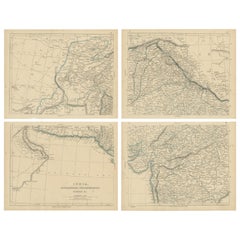
$229Sale Price / set|20% Off
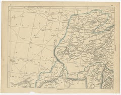
Antique Map of India, Afghanistan, Balochistan and surroundings by Lowry, '1852'
Located in Langweer, NL
Antique map titled 'India, Afghanistan, Beloochistan, Birmah & C'.
Paper
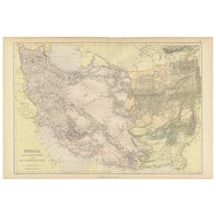
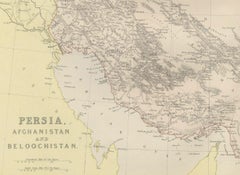
Oriental Realms: A Detailed Map of Persia, Afghanistan, and Beloochistan, 1882
Located in Langweer, NL
This historical map from the 1882 atlas published by Blackie & Son is a comprehensive depiction of Persia (modern-day Iran), Afghanistan, and Baluchistan (the region that includes pa...
Paper
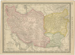
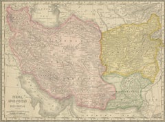
Antique Persia Map Wall Art – Iran Afghanistan Beluchistan, Rand McNally, c.1888
Located in Langweer, NL
Antique Persia Map Wall Art – Iran Afghanistan Beluchistan, Rand McNally Description: This finely colored antique atlas map presents Persia (modern-day Iran), Afghanistan, and Beluc...
Paper
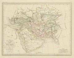
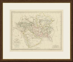
Antique Map of Turkey in Asia, Persia, Afghanistan and Arabia by Malte Brun
Located in Langweer, NL
This antique map of the Middle East and Central Asia is titled Carte de la Turquie d'Asie, de la Perse, de la Tatarie indépendante, de l'Afghanistan, du Béloutchistan et de l'Arabie.
Paper
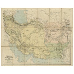
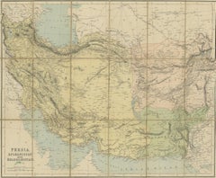
Antique Map of West Asia, circa 1900
Located in Langweer, NL
Antique map titled 'Persia, Afghanistan and Beloochistan'.
Paper
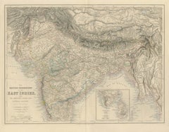
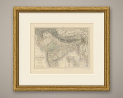
Antique Map of British India with Ceylon Continuation Inset, circa 1860
Located in Langweer, NL
The title at the lower left reads "THE BRITISH POSSESSIONS IN THE EAST INDIES, WITH THE DEPENDENT STATES AND COUNTRIES ADJACENT". The map runs from Afghanistan and Beloochistan in th...
Paper
$2,246Sale Price|20% Off
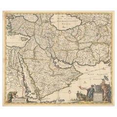
Circa 1691 Frederick de Wit Map: Middle East with Arabia, Persia & More
Located in Langweer, NL
Circa 1691 Frederick de Wit Map: Middle East with Arabia, Persia & More This exquisite hand-colored map, circa 1691, by Frederick de Wit, illustrates the Middle East, spanning from ...
Paper

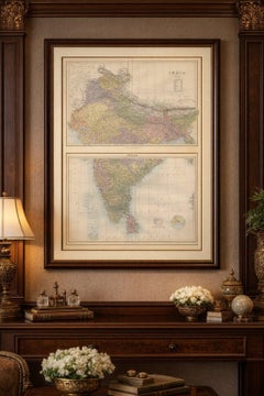
Antique Map Set of India, Two Sheets of Black’s General Atlas, Bartholomew 1884
Located in Langweer, NL
Black, Edinburgh, 1884 Keywords: India, antique map India, India map 1884, British India map, Bartholomew map India, Black’s General Atlas, India atlas map, Victorian map India, his...
Paper
$660Sale Price|20% Off
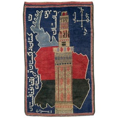
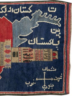
Vintage Afghan Pictorial Map Rug
Located in New York, NY
A vintage Afghan Pictorial map rug from the mid-20th century.
Wool
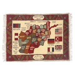
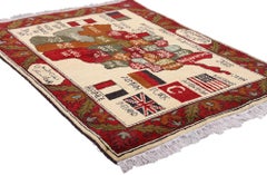
The Sovereign Map: A Vintage Afghan Pictorial Masterpiece, Tribute to Nations
Located in Dallas, TX
At its center lies a boldly rendered map of Afghanistan, each province delineated in rich earthen tones—crimson, walnut, sage, and ochre—forming a cartographic mosaic that is at once...
Wool
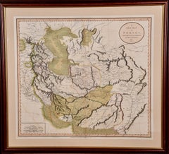
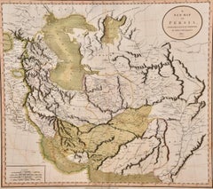
Persia & Afghanistan: A Framed Hand-colored 17th Century Map by John Cary
By John Cary
Located in Alamo, CA
This colorful and detailed early 18th century copperplate map by John Cary entitled "A New Map of Persia from the Latest Authorities" was published in London in 1801.
Engraving
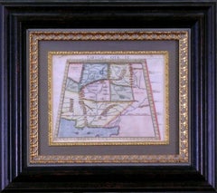
Unavailable
H 16.75 in W 19 in D 2 in
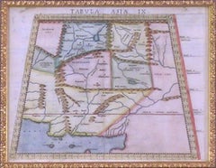
Map Tabula Asiae IX Pakistan Afghanistan Iran Indian Ocean
Located in Florham Park, NJ
The work was illustrated with 64 double page engraved maps. Twenty-seven were Ptolemaic and thirty-seven were considered “modern maps”.
Copper
Unavailable
H 17.33 in W 21.26 in
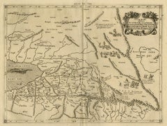
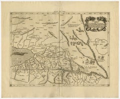
Old map of Himalayas, N. India and Afghanistan by Mercator - Engraving - 17th c.
By Gerard Mercator
Located in Zeeland, Noord-Brabant
.' - A beautiful Ptolemaic map Central Asia east of the Caspian Sea and what is now Turkestan, the Steppes, Afghanistan and beyond.
Engraving
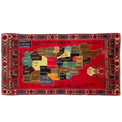
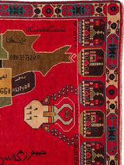
Vintage Afghan Map Rug
Located in New York, NY
An Afghan map carpet from the late 20th century. Measures: 3' 5" x 6' 7"
Wool


Sold
H 11.03 in W 13.47 in D 0.01 in
Antique Map of the Ancient Persian Empire – Imperium Persicum, 1817
Located in Langweer, NL
Keyword block: Imperium Persicum Antiquum, Persian Empire map, Achaemenid Empire map, Cyrus the Great empire map, ancient Persia map, Atlas Classica map, Robert Wilkinson map, London...
Paper
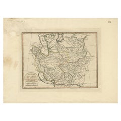
Antique Map of Persia and Afghanistan by Borghi, 1818
Located in Langweer, NL
Rare map depicting Persia and Afghanistan. This map originates from 'Atlante Geografico'.
Paper
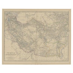
Antique Map of Persia and Afghanistan by Johnston, 1882
Located in Langweer, NL
Antique map titled 'Persia and Afghanistan'. Old map of Persia and Afghanistan.
Paper

Sold
H 9.97 in W 14.69 in D 0 in
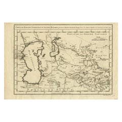
Antique Map Centered on Turkestan, Including the Black and Caspian Seas, 1749
Located in Langweer, NL
Original antique map centered on Turkestan. Extends to include the Black and Caspian Seas, Uzbekistan, Tajikistan, Turkmenistan, and the northern reaches of Iran and Afghanistan.
Paper
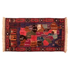
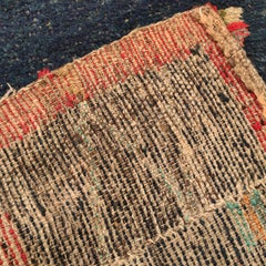
Vintage Beluch Tribal Rug depicting the Map of Afghanistan
Located in Milan, IT
A curious pictorial rug, woven by the Afghani Beluch people, illustrating a map of Afghanistan divided into regions at around the time of the Gulf war.
Wool
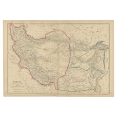

Antique Map of Persia, Afghanistan and Balochistan, 1859
Located in Langweer, NL
Blackie in 1859. This original antique map encompasses the regions of Persia (modern-day Iran), Afghanistan, and Balochistan (spanning parts of present-day Iran, Afghanistan, and Pak...
Paper
Sold
H 14.77 in W 17.88 in D 0.01 in
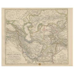
Iran and Turan Map – Persia, Afghanistan, Baluchistan, Turkestan 1858
Located in Langweer, NL
Iran and Turan Map – Persia, Afghanistan, Baluchistan, Turkestan 1858 This impressive antique print shows “Iran und Turan (Persien, Afghanistan, Beludschistan, Turkestan),” meaning ...
Paper

Sold
H 26.38 in W 17.92 in D 0.02 in
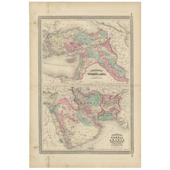
Antique Map of Turkey, Persia, Arabia, Balochistan and Afghanistan, 1872
Located in Langweer, NL
Antique map titled 'Johnson's Turkey in Asia (..)'. Two maps on one sheet showing Turkey in Asia, Persia, Arabia, Balochistan and Afghanistan.
Paper
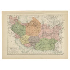

Antique Map of Persia and Afghanistan by A & C. Black, 1870
Located in Langweer, NL
Antique map titled 'Persia and Afghanistan'. Original antique map of Persia and Afghanistan.
Paper
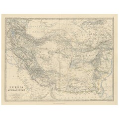

Antique Map of Persia and Afghanistan by A.K. Johnston, 1865
Located in Langweer, NL
Antique map titled 'Persia and Afghanistan'. This map originates from the ‘Royal Atlas of Modern Geography’ by Alexander Keith Johnston.
Paper
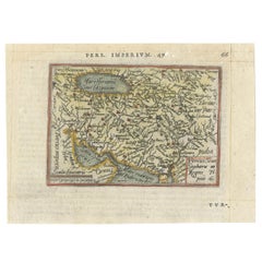

Rare Map of the Persian Empire, ca. 1579
Located in Langweer, NL
This handsome little map covers the Persian Empire between the Caspian Sea and the Persian Gulf and includes much of present-day Afghanistan and Pakistan.
Paper
Sold
H 9.26 in W 14.77 in D 0.02 in
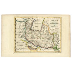
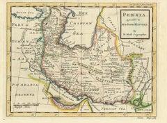
Antique Map of the Persian Empire 'Persia/Iran' by H. Moll, circa 1745
By Herman Moll
Located in Langweer, NL
Map of the Persian Empire extending from Georgia to Afghanistan.
Paper
Antique and vintage collectibles and curiosities can bring whimsy and wonder to any interior.
Decorating with old scientific instruments, historical memorabilia and vintage musical instruments, as well as other authentic collectibles and curiosities that can be found on 1stDibs, presents an opportunity to create a unique, natural history museum-like atmosphere in your home that can provoke conversation as often as it pays tribute to how far we’ve come in understanding our world.
And bringing collectibles and curiosities into your space is actually on trend — Wunderkammern, or curiosity cabinets, were all the rage in Europe during the 1500s and continued to have adherents there and in the U.S. in the following centuries. Today, however, they’re experiencing a real surge in popularity and influencing how many interior designers are furnishing and decorating homes — combining contemporary with antique, scientific with tribal, earthly with extraterrestrial, Les Lalanne tables with Flemish tapestries.
The original Wunderkammern were entire rooms filled with objects demonstrating their owners’ worldly knowledge: A proper one included artificiala or preciosa (objets d’art); naturalia (such as skeletons, shells, minerals); exotica (taxidermy or dried plants); and scientifica (scientific instruments), frequently alongside religious relics and ancient artifacts.
Pay tribute to a history of rich and diverse musical traditions that have taken shape all over the world by decorating your home with a collection of antique and vintage musical instruments — with a little help from strong hanging wire or some wall hooks, vintage brass instruments such as a gong, French horn or trumpet can help elevate a home office or complement the efforts you’ve made to ensure a welcoming vibe in your home’s entryway. Bells or antique wind instruments can add provocative metallic contrasts to dark woods as tabletop decorative objects.
Create an intriguing focal point with Georgian scientific instruments, such as stick barometers with mahogany cases or lacquered brass telescopes. These items stem from an era named for the monarchies of the four King Georges, who ruled England in succession starting in 1714 (plus King William’s reign, which lasted until 1837). Just as there was beautiful jewelry produced during the period that today is coveted by collectors, there is much to be found in the collectibles and curiosities realm too.
Wanderlust, nostalgia and a shared love of good design are contributing factors to certain trends in decorating — just as vintage trunks and luggage have reappeared as furniture or home accents in a bedroom or foyer, decorating with globes, maps or nautical objects is similarly rooted in the allure of travel and a penchant for the stylish finishing touch that collectibles bring to our homes.
Find a wide range of antique and vintage collectibles and curiosities on 1stDibs.
It's hard to resist the allure of a beautiful pool. So, go ahead and daydream about whiling away your summer in paradise.
It’s never too early for good design. These interiors combine elevated furnishings and a youthful spirit, resulting in spaces that are at once elegant and whimsical.
Produced in 1843, the well-preserved volume is evidence of the author's exacting specifications.
New or old, the coverlets add old-time charm to any space.
Get into the games! These items celebrate the events, athletes, host countries and sporting spirit.
French trendsetter and serial collector Daniel Rozensztroch tells us about his obsession with objects related to seafaring men.
The sought-after designer worked with the team at Hoffman Creative to produce a monograph that beautifully showcases some of Studio Shamshiri's most inspiring projects.
Italian writer and collector Umberto Pasti opens the doors to his remarkable cave of wonders in North Africa.