
Denmark Map

to
51
80
13
47
28
24
18
16
10
8
8
7
7
7
5
5
5
4
3
3
2
2
2
2
2
2
2
2
1
1
1
1
1
1
1
1
1
3
2
2
2
1
Sort By
Antique Map of Denmark with an Inset Map of Iceland, 1832
Located in Langweer, NL
Antique map titled 'Denmark'. Large map of Denmark with an inset map of Iceland. Artists and
Category

Antique 19th Century Maps

Materials

Paper

Antique Map of Denmark with an Inset Map of Iceland, 1832
$330 Sale Price
20% Off
H 25.2 in W 21.66 in D 0 in
Antique Map of Denmark by Johnston '1909'
Located in Langweer, NL
Antique map titled 'Denmark'. Original antique map of Denmark. With inset maps of Iceland, Faroe
Category

Early 20th Century Maps

Materials

Paper

Antique Map of Denmark by Johnston '1909'
$236 Sale Price
20% Off
H 24.41 in W 19.49 in D 0.02 in
Antique Map of Denmark by Lowry, 1852
Located in Langweer, NL
Antique map titled 'Denmark'. Original map of Denmark. This map originates from 'Lowry's Table
Category

Antique Mid-19th Century Maps

Materials

Paper

Antique Map of Denmark by Lowry, 1852
$94 Sale Price
20% Off
H 12.21 in W 9.65 in D 0.02 in
Antique Map of Denmark by Münster '1588'
Located in Langweer, NL
Antique map titled 'Beschreibung des Königreichs Dennmarck (..)'. Early map of Denmark. This map
Category

Antique 16th Century Maps

Materials

Paper

Antique Map of Denmark by Münster '1588'
$259 Sale Price
20% Off
H 12.6 in W 7.88 in D 0.02 in
Antique Map of Denmark with the Danish Royal Crest, c.1730
By Homann Heirs
Located in Langweer, NL
, Scania Blekingia (..).' Map of Denmark and islands, part of Sweden and Germany, drawn by Johann Huber
Category

Antique 18th Century Maps

Materials

Paper

Antique Map of Denmark with the Danish Royal Crest, c.1730
$425 Sale Price
20% Off
H 21.15 in W 25.12 in D 0 in
Antique Map of Scandinavia: Norway, Sweden and Denmark
Located in Langweer, NL
and Denmark. With an inset map of Iceland and the Faroe Islands. This map originates from Maison
Category

Antique Mid-19th Century Maps

Materials

Paper

Antique Map of Scandinavia: Norway, Sweden and Denmark
$113 Sale Price
20% Off
H 13.31 in W 10.12 in D 0.02 in
Antique Map of Denmark by Moll 'circa 1730'
By Herman Moll
Located in Langweer, NL
Antique map titled 'Denmark, agreeable to Modern History'. Uncommon map of Denmark by Herman Moll
Category

Antique Mid-18th Century Maps

Materials

Paper

Antique Map of Denmark by Moll 'circa 1730'
$330 Sale Price
20% Off
H 9.85 in W 13.39 in D 0.02 in
Antique Map of Denmark 1858 – Includes Iceland & Copenhagen Plan
Located in Langweer, NL
Antique Map of Denmark 1858 – Includes Iceland & Copenhagen Plan This finely detailed antique map
Category

Antique Mid-19th Century German Maps

Materials

Paper

Antique Hand-Colored Engraved Map of Denmark, 1790
Located in Langweer, NL
detailed map of Denmark in the 18th century. One very small one hole in the image, although hardly visible
Category

Antique 1790s Maps

Materials

Paper

Antique Hand-Colored Engraved Map of Denmark, 1790
$425 Sale Price
20% Off
H 12.6 in W 16.15 in D 0 in
Antique Map of Denmark by Hall, circa 1820
Located in Langweer, NL
Antique map titled 'Denmark'. A map of Denmark and the direct surroundings (northern Germany
Category

Antique 19th Century Maps

Materials

Paper

Antique Map of Denmark by Hall, circa 1820
$113 Sale Price
20% Off
H 17.33 in W 12.13 in D 0 in
Antique Map of the City of Copenhagen in Denmark c.1720
Located in Langweer, NL
Antique map titled 'Copenhagen'. Original antique map of the city of Copenhagen, Denmark. This map
Category

Antique 18th Century Danish Maps

Materials

Paper

Antique Map of Denmark, Original and Decorative, c.1846
Located in Langweer, NL
Antique map titled 'Denmark'. Old map of Denmark. This map originates from 'A New Universal Atlas
Category

Antique 19th Century Maps

Materials

Paper

Antique Map of Denmark, Original and Decorative, c.1846
$189 Sale Price
20% Off
H 17.13 in W 13.78 in D 0 in
Large Antique Map of Denmark by Bowles, c.1780
By Thomas
Located in Langweer, NL
Antique map titled 'Bowles's new pocket map of the Kingdom of Denmark (..)' Large map of Denmark
Category

Antique 18th Century Maps

Materials

Paper

Large Antique Map of Denmark by Bowles, c.1780
$281 Sale Price
20% Off
H 19.89 in W 23.39 in D 0 in
Antique Map of Denmark by F. de Wit, 1680
Located in Langweer, NL
Antique map titled 'Dania Regnum'. Large, attractive map of Denmark, Sleschwig-Holstein and
Category

Antique Late 17th Century Maps

Materials

Paper

Antique Map of Denmark by F. de Wit, 1680
$911 Sale Price
20% Off
H 20.99 in W 24.22 in D 0.02 in
Antique Map of Denmark and Southern Sweden, c.1658
Located in Langweer, NL
Antique map titled 'Royaume de Danemarq.' Map centered on Sjaelland and covers all of Denmark and
Category

Antique 17th Century Maps

Materials

Paper

Antique Map of Denmark and Southern Sweden, c.1658
$255 Sale Price
20% Off
H 17.09 in W 22.72 in D 0 in
1882 Map of Denmark, Schleswig, and Holstein Highlighting Geographical Details
Located in Langweer, NL
This 1882 map of Denmark, Schleswig, and Holstein, published by Blackie and Son as part of the
Category

Antique 1880s Maps

Materials

Paper

Antique Map of the Kingdom of Denmark by Wyld '1845'
Located in Langweer, NL
Antique map titled 'Kingdom of Denmark'. Original antique map of the Kingdom of Denmark. This map
Category

Antique Mid-19th Century Maps

Materials

Paper

Antique Map of the Kingdom of Denmark by Wyld '1845'
$153 Sale Price
35% Off
H 14.18 in W 10.24 in D 0.02 in
Antique Map of Denmark with An Inset of Iceland, 1852
Located in Langweer, NL
Antique map titled 'Denemarken'. Map of Denmark, with a small inset map of Iceland. This map
Category

Antique 19th Century Maps

Materials

Paper

Antique Map of Denmark with An Inset of Iceland, 1852
$132 Sale Price
20% Off
H 10.63 in W 13.59 in D 0 in
Denmark & Schleswig-Holstein Map with Copenhagen & Iceland Insets – 1865 Atlas
Located in Langweer, NL
Denmark & Schleswig-Holstein Map with Copenhagen & Iceland Insets – 1865 Atlas This detailed
Category

Antique Mid-19th Century Maps

Materials

Paper

Antique Map of Sweden, Norway and Denmark by Johnson, 1872
Located in Langweer, NL
The image is an antique map, a two-page spread from "Johnson's New Illustrated Family Atlas of the
Category

Antique Late 19th Century Maps

Materials

Paper

Antique Map of Sweden, Norway and Denmark by Johnson, 1872
$236 Sale Price
20% Off
H 18.12 in W 26.38 in D 0.02 in
Antique Map of Denmark and German Empire Regions, 1903, Intricate and Colorful
Located in Langweer, NL
Title: Antique Map of Denmark and German Empire Regions, 1903, Intricate and Colorful Description
Category

Early 20th Century Maps

Materials

Paper

Map of Denmark Divided into Dioceses – G. & L. Valk, ca. 1690
Located in Langweer, NL
Map of Denmark Divided into Dioceses – G. & L. Valk, ca. 1700 Detailed antique map titled "Regnum
Category

Antique Late 17th Century Maps

Materials

Paper

Map of Denmark Divided into Dioceses – G. & L. Valk, ca. 1690
$520 Sale Price
20% Off
H 20.67 in W 24.02 in D 0.02 in
Antique Map of the Islands of Denmark by Homann Heirs, 1720
Located in Langweer, NL
Antique map titled 'Insula Danicae in Mari Balthico sitae (..).' - Map of the Danish islands
Category

Antique 18th Century Maps

Materials

Paper

Antique Map of the Islands of Denmark by Homann Heirs, 1720
$328 Sale Price
20% Off
H 21.19 in W 24.89 in D 0 in
17th Century Map of Denmark by French Cartographer Sanson, Dated 1658
By Nicolas Sanson
Located in Copenhagen, K
17th century map of Denmark by French cartographer Sanson. Nicolas Sanson (20 December 1600-7 July
Category

Antique 17th Century French Maps

Materials

Paper

Antique Map of Denmark with Schleswig & Holstein by A & C. Black, 1870
Located in Langweer, NL
Antique map titled 'Denmark with Schleswig & Holstein'. Original antique map of Denmark with
Category

Antique Late 19th Century Maps

Materials

Paper

Antique Map of Denmark with Schleswig & Holstein by A & C. Black, 1870
$124 Sale Price
40% Off
H 17.52 in W 13 in D 0.02 in
Original Hand-colored Antique Map of Denmark by S. Neele, 1790
Located in Langweer, NL
Antique very decorative engraving of Denmark engraved by S. Neele. Published in November 1790 by
Category

Antique Late 18th Century Maps

Materials

Paper

Original Hand-colored Antique Map of Denmark by S. Neele, 1790
$198 Sale Price
20% Off
H 8.08 in W 8.78 in D 0.02 in
Antique Map of the Island of Zealand 'Denmark' by Thevet, circa 1590
Located in Langweer, NL
Antique map titled 'Partie de Danemarc'. Map of the island of Zealand, Denmark, including the city
Category

Antique 16th Century Maps

Materials

Paper

Antique Map of the Island of Zealand 'Denmark' by Thevet, circa 1590
$259 Sale Price
20% Off
H 14.38 in W 8.67 in D 0.02 in
1859 Denmark and Schleswig-Holstein Map: A Historical View from Blackie's Atlas
Located in Langweer, NL
The "Antique Map of Denmark with Schleswig & Holstein" from 'The Imperial Atlas of Modern Geography
Category

Antique Mid-19th Century Maps

Materials

Paper

1859 Denmark and Schleswig-Holstein Map: A Historical View from Blackie's Atlas
$144 Sale Price
30% Off
H 14.57 in W 10.63 in D 0.02 in
Antique Map of the Kingdom of Denmark by Keizer & de Lat, 1788
Located in Langweer, NL
Denmark. This map originates from 'Nieuwe Natuur- Geschied- en Handelkundige Zak- en Reisatlas' by Gerrit
Category

Antique Late 18th Century Maps

Materials

Paper

Antique Map of the Kingdom of Denmark by Keizer & de Lat, 1788
$330 Sale Price
20% Off
H 8.08 in W 10.83 in D 0.02 in
Denmark & German Empire – Antique Map by A.K. Johnston, 1882 Atlas Edition
Located in Langweer, NL
Denmark & German Empire – Antique Map by A.K. Johnston, 1882 Atlas Edition This detailed antique
Category

Antique 19th Century English Maps

Materials

Paper

Early 18th Century Map of Denmark in Old Coloring, Published in 1706
Located in Langweer, NL
Denmark. Schenk (Petrus), Dania Regnum Ducatus Holsatia. et Slesvicum Insulae Danicae et Provinciae
Category

Antique Early 1700s Maps

Materials

Paper

Early 18th Century Map of Denmark in Old Coloring, Published in 1706
$680 Sale Price
20% Off
H 19.3 in W 23.23 in D 0 in
Antique Map of Denmark, Iceland and the Faroe Islands by Migeon, 1880
Located in Langweer, NL
Antique map titled 'Danemark, Islande et Iles Faeröe'. Old map of Denmark, Iceland and the Faroe
Category

Antique 19th Century Maps

Materials

Paper

Antique Map of Denmark, Iceland and the Faroe Islands by Migeon, 1880
$110 Sale Price
20% Off
H 18.71 in W 13.59 in D 0 in
Daniae Regni & Oldenburg – Antique Maps of Denmark and Saxony by Ortelius, 1598
Located in Langweer, NL
Daniae Regni & Oldenburg – Antique Maps of Denmark and Saxony by Ortelius, 1584 This elegant
Category

Antique 16th Century European Maps

Materials

Paper

Denmark – Large Format Antique Map by Pinkerton, Fine English Engraving c.1814
By Pinkerton
Located in Langweer, NL
Denmark – Large Format Antique Map by Pinkerton, Fine English Engraving c.1814 This impressive
Category

Antique Early 19th Century English Maps

Materials

Paper

Map of Denmark Proper & Jutland: Early 19th Century from the 1802 Tardieu Atlas
Located in Langweer, NL
: This antique map illustrates the Kingdom of Denmark, specifically the regions of Denmark Proper
Category

Antique Early 1800s Maps

Materials

Paper

Map of Denmark Proper & Jutland: Early 19th Century from the 1802 Tardieu Atlas
$415 Sale Price
20% Off
H 16.23 in W 22.25 in D 0.01 in
Map of Denmark, Norway & Iceland: Early 19th Century from the 1802 Tardieu Atlas
Located in Langweer, NL
map illustrates the Kingdom of Denmark, including Denmark, Norway, and Iceland, as well as parts of
Category

Antique Early 1800s Maps

Materials

Paper

Antique Map of Denmark with Details of Fortresses, Cities, Towns Etc, c.1680
Located in Langweer, NL
Antique map of Denmark titled 'Insularum Danicarum ut Zee-Landiae, Fioniae, Langelandiae, Lalandiae
Category

Antique 17th Century Maps

Materials

Paper

Attractive Antique Map showing Denmark and part of Sweden and Germany c.1750
By Isaak Tirion
Located in Langweer, NL
Antique map titled 'Nieuwe Kaart van het Koninkryk van Deenemarken (..).' Attractive detailed map
Category

Antique 18th Century Maps

Materials

Paper

Antique Map of Ærø, Denmark – 'Aroe Insulae' from Blaeu’s Spanish Atlas, c.1665
Located in Langweer, NL
Antique Map of Ærø, Denmark – 'Aroe Insulae' from Blaeu’s Spanish Atlas, c.1665 Antique map titled
Category

Antique Mid-17th Century Dutch Maps

Materials

Paper

Denmark and Baltic Region – Antique Map by Guillaume de l’Isle, c.1730
By Covens & Mortier
Located in Langweer, NL
Denmark and Baltic Region – Antique Map by Guillaume de l’Isle, c.1730 This antique map titled
Category

Antique Mid-18th Century Maps

Materials

Paper

Denmark and Baltic Region – Antique Map by Guillaume de l’Isle, c.1730
$557 Sale Price
20% Off
H 21.26 in W 25.79 in D 0.2 in
Antique Map of Denmark with Insets of Iceland and the Faroe Islands, c.1873
Located in Langweer, NL
Antique map titled 'Denemarken, Sleeswijk-Holstein en Lauenburg'. Old map depicting Denmark, with
Category

Antique 19th Century Maps

Materials

Paper

Antique Map of Denmark with Insets of Iceland and the Faroe Islands, c.1873
$151 Sale Price
20% Off
H 10.36 in W 12.96 in D 0 in
Antique Map of Denmark with Schleswig-Holstein and the South of Sweden, c.1750
Located in Langweer, NL
Antique map titled 'General Charte von Konigreich Daenemark nebst dem Herzogthum Holstein.' Denmark
Category

Antique 18th Century Maps

Materials

Paper

Uncommon Old Map of Lapland to Russia and Denmark to Kazan in the South, 1785
Located in Langweer, NL
of Bonne's map of Northern Europe covers the region from Lapland to Russia in the north and Denmark
Category

Antique 1780s Maps

Materials

Paper

16th Century Antique Map of Ven Framed in Gold
Located in Haddonfield, NJ
, Sweden and Zealand and Denmark. The island was historically under Danish rule. Danish astronomer Tycho
Category

Antique 16th Century Danish Baroque Maps

Materials

Wood, Paper

16th Century Antique Map of Ven Framed in Gold
$580
H 16.6 in W 21.8 in D 1.1 in
19th Century Reprint of 16th Century Harbor Map of Copenhagen
Located in Haddonfield, NJ
This reprint of 1587 antique map of Copenhagen, Denmark retains its original mid-century mat and
Category

Antique 1880s Danish Baroque Maps

Materials

Wood, Paper

Antique Map of Scandinavia by Lapie, 1842
Located in Langweer, NL
Danemark'. Map of Scandinavia including Sweden, Norway and Denmark. With inset maps of Iceland and the
Category

Antique Mid-19th Century Maps

Materials

Paper

Antique Map of Scandinavia by Lapie, 1842
$519 Sale Price
20% Off
H 26.78 in W 19.89 in D 0.02 in
Greece 1660 Jan Jansson Watercolour Map Peloponesus Sive Morea I Laurenbergio
Located in West Sussex, Pulborough
We are delighted to offer for sale this Jan Jansson Date: 1660 (published) Amsterdam map of Greece
Category

Antique 1660s Danish Dutch Colonial Maps

Materials

Copper

Antique Map of Northern Jutland by Kaerius, 1628
Located in Langweer, NL
Antique map titled 'Iutia Septentrionalis'. Copper engraved map of Northern Jutland (Denmark) by P
Category

Antique Mid-17th Century Maps

Materials

Paper

Antique Map of Northern Jutland by Kaerius, 1628
$283 Sale Price
20% Off
H 8.27 in W 11.23 in D 0.02 in
1950's Glass Globe Lamp, Denmark
Located in New York, NY
Danish Glass Globe Lamp, c. 1950's. Can be lit with inner bulb.
Category

Vintage 1950s Danish Mid-Century Modern Maps

Materials

Glass, Wood

Antique Map of Scandinavia by T. Jefferys, circa 1750
Located in Langweer, NL
Antique map titled 'Sweden, Denmark, Norway & Finland'. An original mid-18th century copper
Category

Antique Mid-18th Century Maps

Materials

Paper

Antique Map of Scandinavia by T. Jefferys, circa 1750
$179 Sale Price
20% Off
H 8.19 in W 10.08 in D 0.02 in
Historical Map of Holstein - Copperplate Engraving by Matthias Seutter, ca. 1730
Located in Langweer, NL
northern Germany and southern Denmark. The map impresses with its detailed and precise depiction of the
Category

Antique 1730s Maps

Materials

Paper

Northern Schleswig and Haderslev Map by Johannes Mejer and Johannes Blaeu, 1662
Located in Langweer, NL
now known as Schleswig-Holstein, a region historically contested by Denmark and Germany. - The map
Category

Antique 1660s Maps

Materials

Paper

Rare Engraving of Dutch and Danish Forts on the West African Gold Coast, 1744
Located in Langweer, NL
the West African Gold Coast, Ghana; a) The Dutch Fort Croevecoeur at Accra, b) The Danish Fort
Category

Antique 1740s Maps

Materials

Paper

Art Nouveau Large "Putto" Cherub Figure Michael Andersen & Sons, Denmark, 1960s
By Michael Andersen & Son
Located in Odense, DK
managed to place itself heavily on the Danish map within ceramics and handicrafts. Just like Japanese
Category

Vintage 1930s Danish Art Nouveau Figurative Sculptures

Materials

Ceramic

17th Century Nautical Chart of Skagerrak and Øresund by Johannes van Keulen
Located in Langweer, NL
Denmark and Sweden. The regions depicted in this map—the Skagerrak, Kattegat, and Øresund straits—were
Category

Antique Late 17th Century Maps

Materials

Paper

Large Stoneware Decorative Bowl Floral Motif by Søholm Pottery, Denmark, 1970s
By Søholm Stentøj
Located in Odense, DK
Keramik", Bornholm has managed to place itself heavily on the Danish map within ceramics and handicrafts
Category

Vintage 1970s Danish Scandinavian Modern Decorative Bowls

Materials

Stoneware

Art Nouveau Table Lamp with Owl Decor, Michael Andersen & Sons, Denmark, 1920s
By Michael Andersen & Son
Located in Odense, DK
" and "Hjorth's Keramik", Bornholm has managed to place itself heavily on the Danish map within ceramics
Category

Vintage 1920s Danish Art Nouveau Table Lamps

Materials

Ceramic

Set of Decorative Stoneware "Owl" Candle Lamps made at Søholm, Denmark, 1960s
By Søholm Stentøj, Joseph Simon
Located in Odense, DK
Keramik", Bornholm has managed to place itself heavily on the Danish map within ceramics and handicrafts
Category

Vintage 1960s Danish Scandinavian Modern Candle Lamps

Materials

Stoneware

  • 1
Get Updated with New Arrivals
Save "Denmark Map", and we’ll notify you when there are new listings in this category.

Denmark Map For Sale on 1stDibs

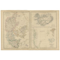
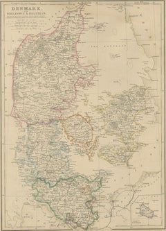
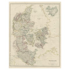
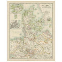
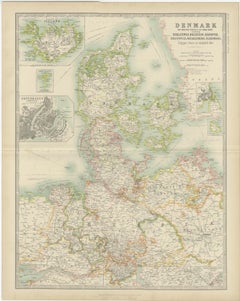
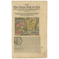
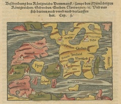
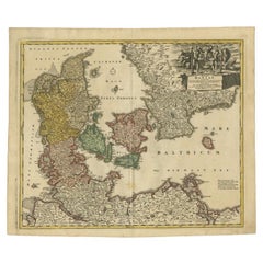
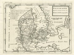
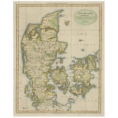
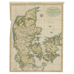
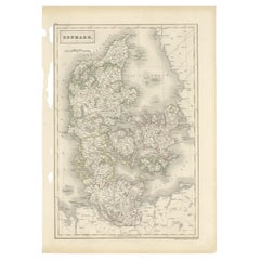
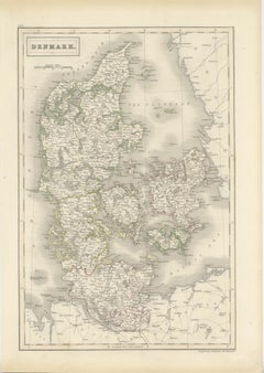
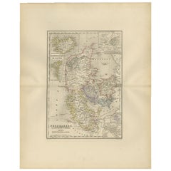
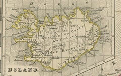
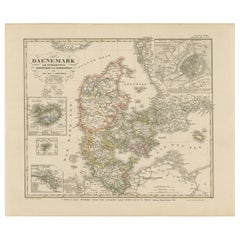
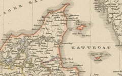
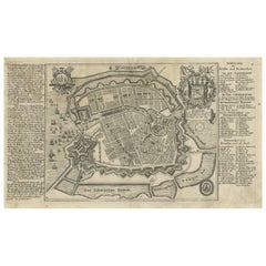
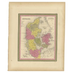
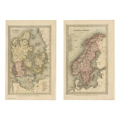
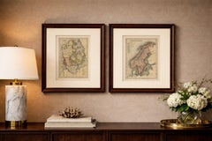
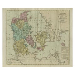
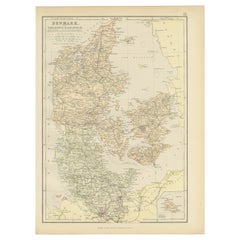
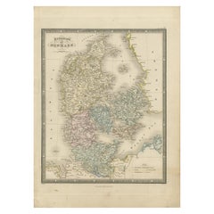
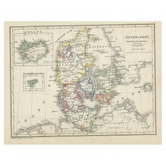
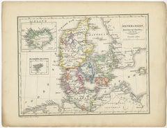
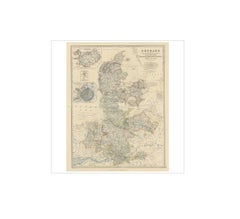
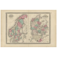
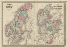
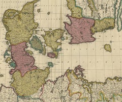
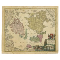
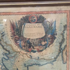
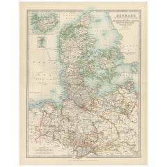
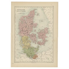
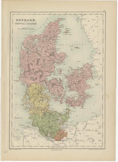
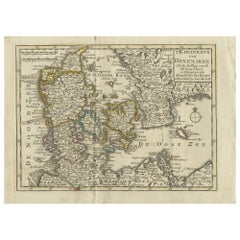
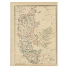
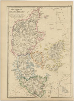
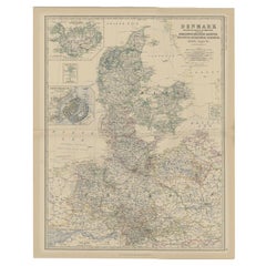
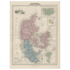
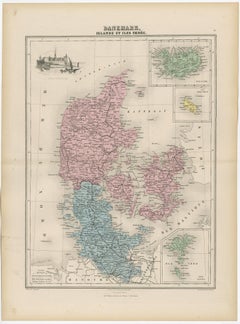
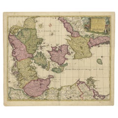
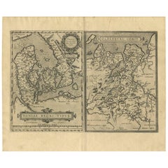
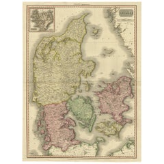
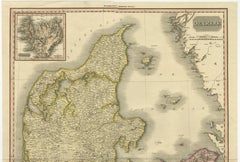
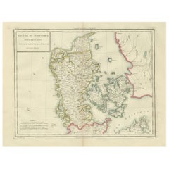
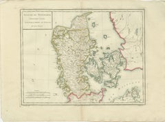
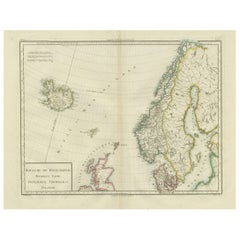
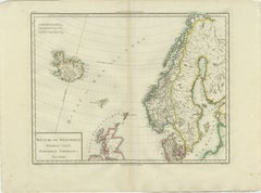
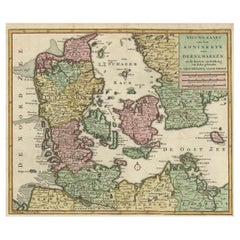
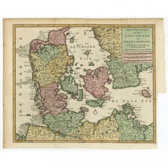
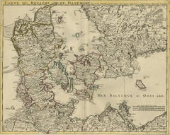
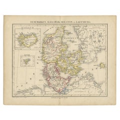
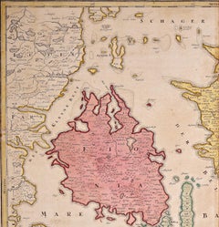
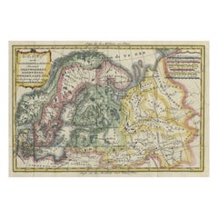
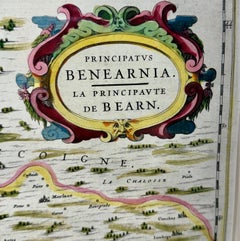
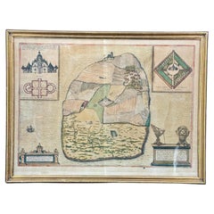
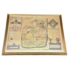
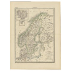
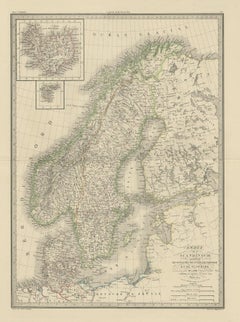
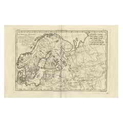
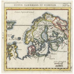
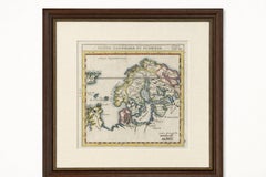
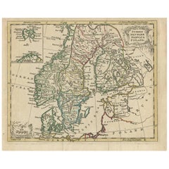
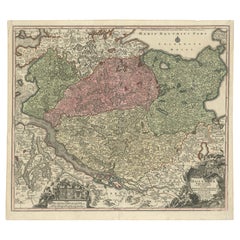
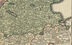
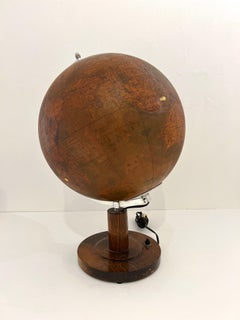
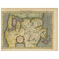
Choose from an assortment of styles, material and more with respect to the Denmark map you’re looking for at 1stDibs. Frequently made of paper, metal and oak, every Denmark map was constructed with great care. There are many kinds of the Denmark map you’re looking for, from those produced as long ago as the 18th Century to those made as recently as the 20th Century. Each Denmark map bearing Mid-Century Modern hallmarks is very popular. You’ll likely find more than one Denmark map that is appealing in its simplicity, but Covens & Mortier, Herman Moll and Johann Baptist Homann produced versions that are worth a look.

How Much is a Denmark Map?

The average selling price for a Denmark map at 1stDibs is $433, while they’re typically $102 on the low end and $5,534 for the highest priced.