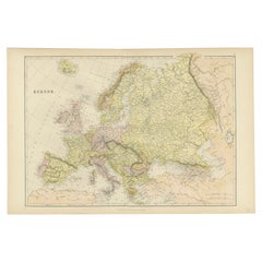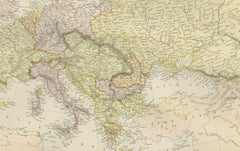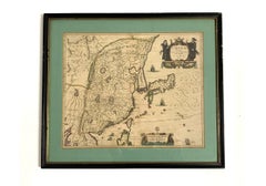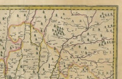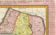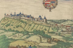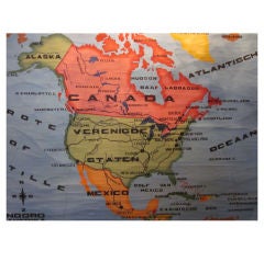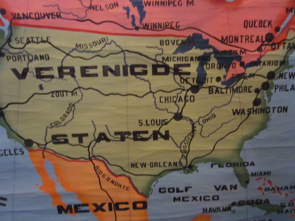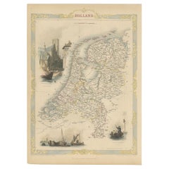

Antique Map of Holland with Colorful Vignettes, 1851
Located in Langweer, NL
Antique map titled 'Holland'. Decorative map of Holland. Includes vignettes of Rotterdam, Dutch Peasants and a boating scene on the Dort, the Netherlands. Originates from 'Th...
Category
Antique 19th Century British Maps
Materials
Paper