Map Tuscany

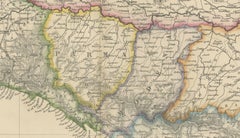
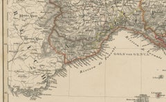
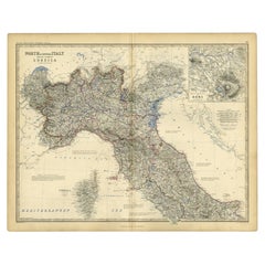
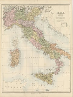
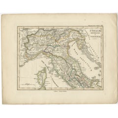
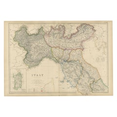
Northern Italy Map, Antique Hand-Colored Political Map, Italy Risorgimento 1860

Northern Italy Map, Antique Hand-Colored Political Map, Italy Risorgimento 1860

Located in Langweer, NL

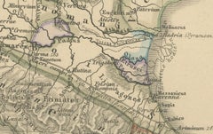
The map covers Lombardy, Piedmont, Venetia, Tuscany, Liguria, Emilia-Romagna, and the Papal States, with borders carefully hand-colored to distinguish the various states and spheres ...

Category

Antique Mid-19th Century British Maps

Materials

Paper

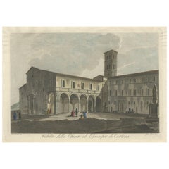
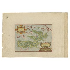
View of the Church of Cortona, a Town and Comune Arezzo, in Tuscany, Italy, 1800

View of the Church of Cortona, a Town and Comune Arezzo, in Tuscany, Italy, 1800

Located in Langweer, NL

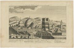
Antique print titled 'Veduta della Chiesa ed Episcopio di Cortona'. View of the church of Cortona, a town and comune in the province of Arezzo, in Tuscany, Italy. Source unknown,...

Category

Antique Early 1800s Maps

Materials

Paper

Recent Sales

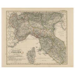
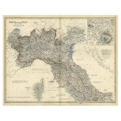
Northern Italy Map – Lombardy, Venetia, Tuscany, and Sardinia 1857

Northern Italy Map – Lombardy, Venetia, Tuscany, and Sardinia 1857

Located in Langweer, NL

Northern Italy Map – Lombardy, Venetia, Tuscany, and Sardinia 1857 This detailed antique print shows “Nördliches Italien” meaning “Northern Italy,” published in 1857 by Justus Perth...

Category

Antique Mid-19th Century German Maps

Materials

Paper

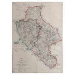
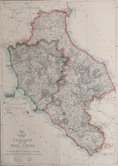
Large Original Antique Map of Tuscany / Toscana, Italy. John Dower, 1861

Large Original Antique Map of Tuscany / Toscana, Italy. John Dower, 1861

Located in St Annes, Lancashire

Great map of Tuscany Lithograph engraving by John Dower Original colour Published, 1861 Unframed Good condition Free shipping    

Category

Antique 1860s English Victorian Maps

Materials

Paper

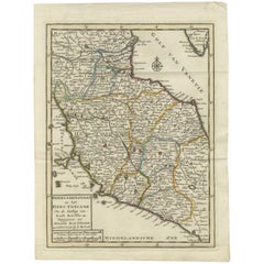
Antique Map of the Duchy of Tuscany by Keizer & de Lat, 1788

Antique Map of the Duchy of Tuscany by Keizer & de Lat, 1788

Located in Langweer, NL

Uncommon original antique map of the Duchy of Tuscany, Italy. This map originates from 'Nieuwe Natuur- Geschied- en Handelkundige Zak- en Reisatlas' by Gerrit Brender à Brandis.

Category

Antique Late 18th Century Maps

Materials

Paper

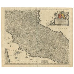
Antique Map of the Region of Tuscany Italy by F. de Wit, circa 1700

Antique Map of the Region of Tuscany Italy by F. de Wit, circa 1700

Located in Langweer, NL

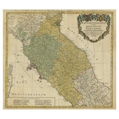
Detailed map of the State of the Church and Tuscany, with a portion of Corsica to the west.

Category

Antique Early 18th Century Maps

You May Also Like

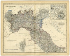
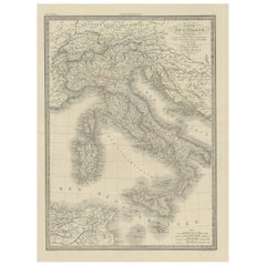
Antique Map of Italy and Corsica, c.1860

Antique Map of Italy and Corsica, c.1860

$127

H 24.41 in W 19.38 in D 0 in

Antique Map of Italy and Corsica, c.1860

Located in Langweer, NL

Antique map titled 'North & Central Italy and the Island of Corsica'. Old map of North and Central Italy, and the island of Corsica. With an inset map of the region of Rome. Orig...

Category

Antique 19th Century Maps

Materials

Paper

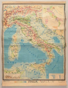
Geographical Map of Italy, Pressed Paper Print, Mid-20th Century

Geographical Map of Italy, Pressed Paper Print, Mid-20th Century

Located in Alessandria, Piemonte

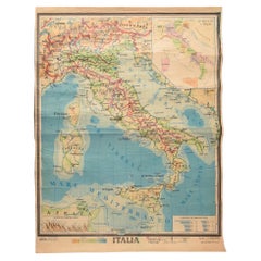
BOLIS Publishing House - Bergamo. A beautiful large map of Italy, on paper but suitably reinforced to preserve it correctly. The maps were usually placed in schools to teach children...

Category

Mid-20th Century Italian Other Prints

Materials

Paper

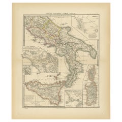
Antique Map of The Regions of Italy and Sicily during the Roman Empire, 1880

Antique Map of The Regions of Italy and Sicily during the Roman Empire, 1880

Located in Langweer, NL

This map is an original antique engraving titled "ITALIAE REGIONES IIII SICILIA," which translates to "The Regions of Italy and Sicily." This detailed historical map portrays the reg...

Category

Antique 1880s Maps

Materials

Paper

Antique Map of Italy with an Inset of Rome, 1812

Antique Map of Italy with an Inset of Rome, 1812

Located in Langweer, NL

Antique map titled 'Italie Ancienne'. Old map of ancient Italy, with an inset map of the region of Rome. This map originates from 'Atlas Supplementaire du Precis de la Geographie...

Category

Antique 19th Century Maps

Materials

Paper

Antique Map Italy, Bartholomew for Black’s General Atlas, Edinburgh 1884

Antique Map Italy, Bartholomew for Black’s General Atlas, Edinburgh 1884

Located in Langweer, NL

Antique Map Italy, Bartholomew for Black’s General Atlas, Edinburgh 1884 Description: This detailed map of Italy was published in the New and Revised Edition of Black’s General Atla...

Category

Antique Late 19th Century Scottish Maps

Materials

Paper

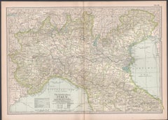
Italy, Northern Part. Century Atlas antique vintage map

Italy, Northern Part. Century Atlas antique vintage map

Located in Melbourne, Victoria

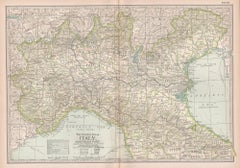
'The Century Atlas. Italy, Northern Part.' Original antique map, 1903. Central fold as issued. Map name and number printed on the reverse corners. Sheet 29.5cm by 40cm.

Category

Early 20th Century Victorian More Prints

Materials

Lithograph

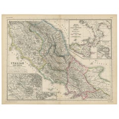
Antique Map of Italy and Greece by H. Kiepert, circa 1870

Antique Map of Italy and Greece by H. Kiepert, circa 1870

By Heinrich Kiepert

Located in Langweer, NL

Antique map titled 'Italiae pars media'. This map originates from 'Atlas Antiquus. Zwölf Karten zur Alten Geschichte' by H. Kiepert. Published in Berlin, circa 187.

Category

Antique Late 19th Century Maps

Materials

Paper

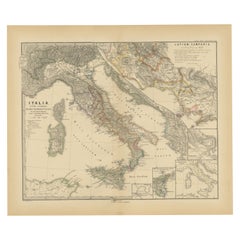
Roman Italy and Provinces: A Cartographic Snapshot, 1880

Roman Italy and Provinces: A Cartographic Snapshot, 1880

$343Sale Price|20% Off

H 15.56 in W 18.51 in D 0 in

Roman Italy and Provinces: A Cartographic Snapshot, 1880

Located in Langweer, NL

The map titled "ITALIA, Gallia Cisalpina, Sicilia, Sardinia, Corsica" focuses on Italy and its surrounding regions during Roman times. It offers a detailed depiction of the Italian p...

Category

Antique 1880s Maps

Materials

Paper

Antique View of the Holy Sepulchre Church in Jerusalem, Ca.1778

Antique View of the Holy Sepulchre Church in Jerusalem, Ca.1778

Located in Langweer, NL

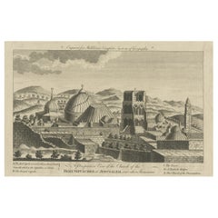
Description: Antique print titled 'A perspective View of the Church of the Holy Sepulchre at Jerusalem and other Structures'. A view of the Holy Sepulchre Church in Jerusalem. Th...

Category

Antique 1770s Prints

Materials

Paper

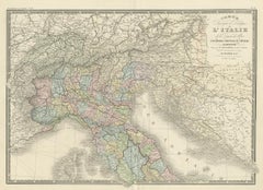
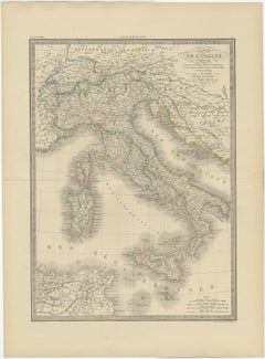
Antique Map of Northern Italy by Levasseur, 1875

Antique Map of Northern Italy by Levasseur, 1875

$429

H 18.71 in W 24.02 in D 0.02 in

Antique Map of Northern Italy by Levasseur, 1875

Located in Langweer, NL

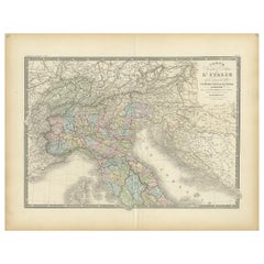
Antique map titled 'Carte l'Italie (..)'. Large map of Northern Italy. This map originates from 'Atlas de Géographie Moderne Physique et Politique' by A. Levasseur. Published 1875.

Category

Antique Late 19th Century French Maps

Materials

Paper

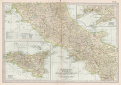
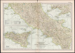
Italy, Central and Southern Part. Century Atlas antique map

Italy, Central and Southern Part. Century Atlas antique map

Located in Melbourne, Victoria

'The Century Atlas. Italy, Central and Southern Part.' Original antique map, 1903. Inset maps of Sicily and Naples. Central fold as issued. Map name and number printed on the rever...

Category

Early 20th Century Victorian More Prints

Materials

Lithograph

Old Coloure Map of North & Central Italy & Corsica with an Inset of Rome, c.1860

Old Coloure Map of North & Central Italy & Corsica with an Inset of Rome, c.1860

Located in Langweer, NL

Antique map titled 'North & Central Italy and the Island of Corsica'. Old map of North and Central Italy, and the island of Corsica. With an inset map of the region of Rome. Orig...

Category

Antique 1860s Maps

Materials

Paper

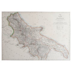
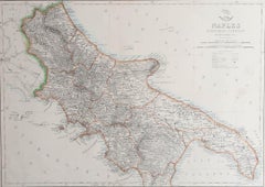
Large Original Antique Map of The South of Italy. John Dower, 1861

Large Original Antique Map of The South of Italy. John Dower, 1861

$48Sale Price|20% Off

H 13 in W 19 in D 0.07 in

Large Original Antique Map of The South of Italy. John Dower, 1861

Located in St Annes, Lancashire

Great map of the South of Italy Lithograph engraving by John Dower Original colour Published, 1861 Unframed Good condition Free shipping    

Category

Antique 1860s English Victorian Maps

Materials

Paper

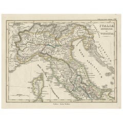
Antique Map of Italy and Corse in Ancient Times, 1848

Antique Map of Italy and Corse in Ancient Times, 1848

Located in Langweer, NL

Antique map titled 'Italia Superior et Corsica'. Old map of northern Italy and Corse originating from 'Orbis Terrarum Antiquus in usum Scholarum'. Artists and Engravers: Publishe...

Category

Antique 19th Century Maps

Materials

Paper

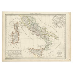
Antique Map of Italy from an Old French Atlas, 1842

Antique Map of Italy from an Old French Atlas, 1842

$382

H 19.89 in W 26.78 in D 0.01 in

Antique Map of Italy from an Old French Atlas, 1842

Located in Langweer, NL

Antique map titled 'Carte de l'Italie'. Map of Italy. This map originates from 'Atlas universel de géographie ancienne et moderne (..)' by Pierre M. Lapie and Alexandre E. Lapie. A...

Category

Antique 19th Century French Maps

Materials

Paper

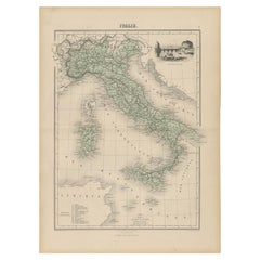
Antique Map of Italy with Vignette of Saint Angu Castle in Rome, 1880

Antique Map of Italy with Vignette of Saint Angu Castle in Rome, 1880

Located in Langweer, NL

Antique map titled 'Italie Septentrionale'. Old map of Italy with a decorative vignette of Saint Angu castle in Rome. This map originates from 'Géographie Universelle Atlas-Migeo...

Category

Antique 19th Century Maps

Materials

Paper

Get Updated with New Arrivals
Save "Map Tuscany", and we’ll notify you when there are new listings in this category.

Map Tuscany For Sale on 1stDibs

With a vast inventory of beautiful furniture at 1stDibs, we’ve got just the map tuscany you’re looking for. Frequently made of fabric, wood and ceramic, every map tuscany was constructed with great care. If you’re shopping for a map tuscany, we have 4 options in-stock, while there are 45 modern editions to choose from as well. Your living room may not be complete without a map tuscany — find older editions for sale from the 18th Century and newer versions made as recently as the 21st Century. A map tuscany, designed in the Rococo style, is generally a popular piece of furniture. Many designers have produced at least one well-made map tuscany over the years, but those crafted by Eisenberg are often thought to be among the most beautiful.

Finding the Right Collectibles-curiosities for You

Antique and vintage collectibles and curiosities can bring whimsy and wonder to any interior. 

Decorating with old scientific instruments, historical memorabilia and vintage musical instruments, as well as other authentic collectibles and curiosities that can be found on 1stDibs, presents an opportunity to create a unique, natural history museum-like atmosphere in your home that can provoke conversation as often as it pays tribute to how far we’ve come in understanding our world. 

And bringing collectibles and curiosities into your space is actually on trend — Wunderkammern, or curiosity cabinets, were all the rage in Europe during the 1500s and continued to have adherents there and in the U.S. in the following centuries. Today, however, they’re experiencing a real surge in popularity and influencing how many interior designers are furnishing and decorating homes — combining contemporary with antique, scientific with tribal, earthly with extraterrestrial, Les Lalanne tables with Flemish tapestries.

The original Wunderkammern were entire rooms filled with objects demonstrating their owners’ worldly knowledge: A proper one included artificiala or preciosa (objets d’art); naturalia (such as skeletons, shells, minerals); exotica (taxidermy or dried plants); and scientifica (scientific instruments), frequently alongside religious relics and ancient artifacts.

Pay tribute to a history of rich and diverse musical traditions that have taken shape all over the world by decorating your home with a collection of antique and vintage musical instruments — with a little help from strong hanging wire or some wall hooks, vintage brass instruments such as a gong, French horn or trumpet can help elevate a home office or complement the efforts you’ve made to ensure a welcoming vibe in your home’s entryway. Bells or antique wind instruments can add provocative metallic contrasts to dark woods as tabletop decorative objects.  

Create an intriguing focal point with Georgian scientific instruments, such as stick barometers with mahogany cases or lacquered brass telescopes. These items stem from an era named for the monarchies of the four King Georges, who ruled England in succession starting in 1714 (plus King William’s reign, which lasted until 1837). Just as there was beautiful jewelry produced during the period that today is coveted by collectors, there is much to be found in the collectibles and curiosities realm too.

Wanderlust, nostalgia and a shared love of good design are contributing factors to certain trends in decorating — just as vintage trunks and luggage have reappeared as furniture or home accents in a bedroom or foyer, decorating with globes, maps or nautical objects is similarly rooted in the allure of travel and a penchant for the stylish finishing touch that collectibles bring to our homes.

Find a wide range of antique and vintage collectibles and curiosities on 1stDibs.
Read More