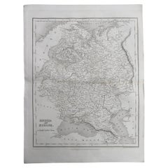
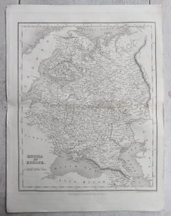
Map Of Poland

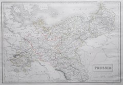
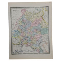
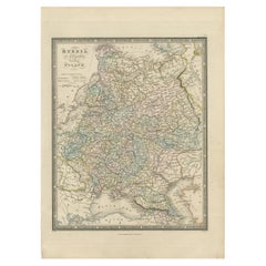
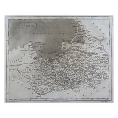
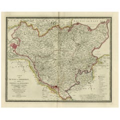
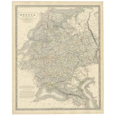
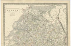
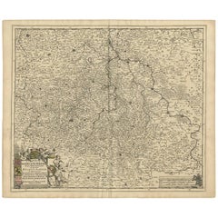
Large Original Antique Map of Poland by Sidney Hall, 1847

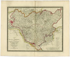
Large Original Antique Map of Poland by Sidney Hall, 1847

Located in St Annes, Lancashire

Great map of Poland Drawn and engraved by Sidney Hall Steel engraving Original colour outline Published by A & C Black. 1847 Unframed Free shipping.

Category

Antique 1840s Scottish Maps

Materials

Paper

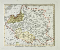
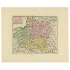
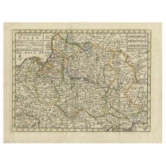
Historic Map of Poland and Lithuania – Tirion Edition c.1740

Historic Map of Poland and Lithuania – Tirion Edition c.1740

Located in Langweer, NL

Poland Map 1740s – Nieuwe Kaart van het Koninryk Poolen by Isaak Tirion This finely engraved and attractively hand-colored map of the Kingdom of Poland was published by Isaak Tirion...

Category

Antique Mid-18th Century Maps

Materials

Paper

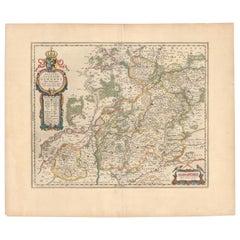
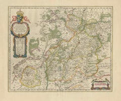
Circa 1659 Blaeu Family Map: Glogau and the Odra River Valley, Silesia

Circa 1659 Blaeu Family Map: Glogau and the Odra River Valley, Silesia

Located in Langweer, NL

Keywords: - Blaeu Family map - Silesia historical map - Glogau map - Odra River valley - 17th-century Poland map - Jonas Scultetus - Decorative cartouches - Historical cartography - ...

Category

Antique 1650s Maps

Materials

Paper

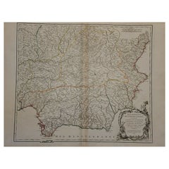
1751 Map of Spain Castilla Robert De Vaugondy 1st Edition, Ric.a001

1751 Map of Spain Castilla Robert De Vaugondy 1st Edition, Ric.a001

Located in Norton, MA

Very early, he associates with his works his son Didier who publishes, since 1742, the methodical tables of Nicolas Sanson, two Globes, one terrestrial, the other celestial (1752). ...

Category

Antique 18th Century Unknown Maps

Materials

Paper

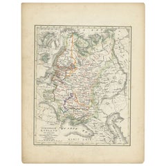
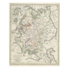
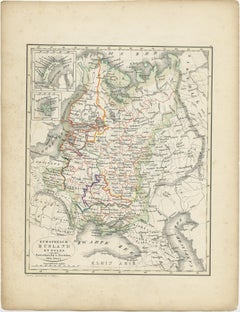
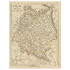
Antique Map of Russia and Poland by Petri, 1852

Antique Map of Russia and Poland by Petri, 1852

Located in Langweer, NL

Antique map titled 'Europeesch Rusland en Polen'. Map of Russia in Europe and Poland.

Category

Antique 19th Century Maps

Materials

Paper

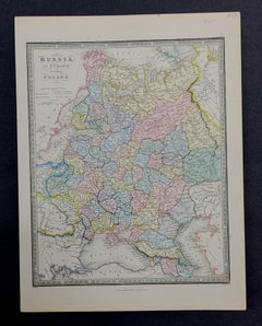
1853 Map of "Russia in Europe Including Poland" Ric.r016

1853 Map of "Russia in Europe Including Poland" Ric.r016

Located in Norton, MA

Description Russia in Europe incl. Poland by J Wyld c.1853 Hand coloured steel engraving Dimension: Paper: 25 cm W x 33 cm H ; Sight: 22 cm W x 28 cm H Condition: Good ...

Category

Antique 19th Century Unknown Maps

Materials

Paper

Antique Map of the Kingdom of Poland by Keizer & de Lat, 1788

Antique Map of the Kingdom of Poland by Keizer & de Lat, 1788

Located in Langweer, NL

Antique map titled 't Koninkryk Polen (..)'. Uncommon original antique map of the Kingdom of Poland.

Category

Antique Late 18th Century Maps

Materials

Paper

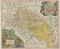
Antique Map of Silesia, Southwest Poland and a City View of Wroclaw, c 1720

Antique Map of Silesia, Southwest Poland and a City View of Wroclaw, c 1720

By Johann Baptist Homann

Located in Langweer, NL

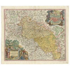
Detailed map of Silesia by Johann Baptist Homann. Shows the Southwestern part of Poland between Frankfurt Oder in the northwest, over Krosno Odrzanskie, Glogów, Freiberg, Brzeg, Raci...

Category

Antique Early 18th Century Maps

Materials

Paper

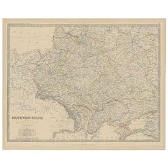
Antique Map of Southern Russia by Johnston, 1882

Antique Map of Southern Russia by Johnston, 1882

Located in Langweer, NL

"Antique map titled 'South-West Russia'. Old map of southern Russia, also showing the extent of the Kingdom of Poland.

Category

Antique 19th Century Maps

Materials

Paper

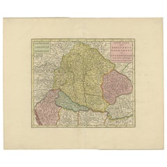
Antique Map of Hungary and Transylvania by Isaak Tirion, Amsterdam c.1740

Antique Map of Hungary and Transylvania by Isaak Tirion, Amsterdam c.1740

Located in Langweer, NL

Poland Map 1740s – Nieuwe Kaart van het Koninryk Poolen by Isaak Tirion This finely engraved and attractively hand-colored map of the Kingdom of Poland was published by Isaak Tirion...

Category

Antique Mid-18th Century Dutch Maps

Materials

Paper

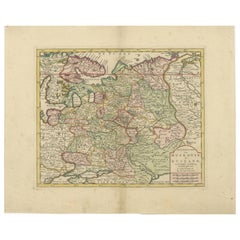
Original Antique Map of Muscovy or Russia by Isaak Tirion, Amsterdam circa 1740

Original Antique Map of Muscovy or Russia by Isaak Tirion, Amsterdam circa 1740

Located in Langweer, NL

It presents a remarkably detailed depiction of the vast territories of the Russian Empire in the early 18th century, during a period of dynamic geopolitical change and territorial ex...

Category

Antique Mid-18th Century Dutch Maps

Materials

Paper

Recent Sales

Antique Map of Poland and Lithuania, c.1744

Antique Map of Poland and Lithuania, c.1744

Sold

H 14.97 in W 19.69 in D 0 in

Antique Map of Poland and Lithuania, c.1744

Located in Langweer, NL

Antique map titled 'A New and Accurate Map of Poland, Lithuania & c'.

Category

Antique 18th Century Maps

Materials

Paper

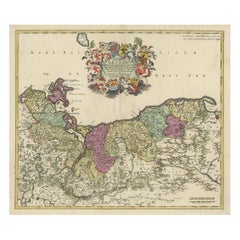
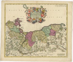
Decorative Antique Map of Pomerania, in Germany and Poland, ca.1730

Decorative Antique Map of Pomerania, in Germany and Poland, ca.1730

Located in Langweer, NL

Antique map titled 'Ducatus Pomeraniae'. Decorative map of the area of Pomerania, in present day eastern Germany and Poland.

Category

Antique 1730s Maps

Materials

Paper

Original Antique Map of Poland by Thomas Clerk, 1817

Original Antique Map of Poland by Thomas Clerk, 1817

Located in St Annes, Lancashire

Great map of Poland Copper-plate engraving Drawn and engraved by Thomas Clerk, Edinburgh.

Category

Antique 1810s English Maps

Materials

Paper

Original Antique Map of Poland by Tallis, circa 1850

Original Antique Map of Poland by Tallis, circa 1850

Sold

H 13.75 in W 10.75 in D 0.07 in

Original Antique Map of Poland by Tallis, circa 1850

Located in St Annes, Lancashire

Great map of Poland. Steel engraving. Many lovely vignettes.

Category

Antique 1850s English Maps

Materials

Paper

Original Antique Map of Poland, Engraved by Barlow, Dated 1807

Original Antique Map of Poland, Engraved by Barlow, Dated 1807

Located in St Annes, Lancashire

Great map of Poland Copper-plate engraving by Barlow Published by Brightly & Kinnersly, Bungay, Suffolk.

Category

Antique Early 1800s English Maps

Materials

Paper

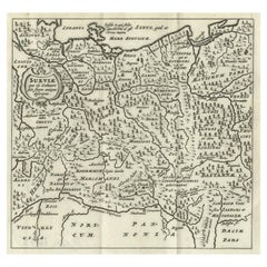
Miniature Map of Swabia, a Medieval Duchy in South-West Germany and Poland, 1685

Miniature Map of Swabia, a Medieval Duchy in South-West Germany and Poland, 1685

Located in Langweer, NL

Miniature map of Swabia, a medieval Duchy in south-west Germany, that also included part of Poland, from the pocket atlas 'Introductionis in Universam Geographiam tam Veterem quam no...

Category

Antique 1680s Maps

Materials

Paper

Antique Engraving of Szczecinity in Poland, near the Baltic Sea, ca.1652

Antique Engraving of Szczecinity in Poland, near the Baltic Sea, ca.1652

Located in Langweer, NL

Antique plan titled 'Abriss der vornehmen fürstlichen Residens Stadt und Vöstungh Stetin'. Original antique plan of the city of Szczecin, often anglicised to Stettin, is the capital ...

Category

Antique Mid-17th Century Maps

Materials

Paper

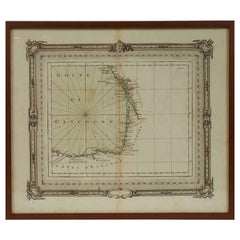
1763 Nautical Portolano Chart  of Guascogna Bay  from Le Petit Neptune François

1763 Nautical Portolano Chart of Guascogna Bay from Le Petit Neptune François

By G. A. Rizzi-zannoni

Located in Milan, IT

Zannoni began his career as a cartographer in 1753 in Poland, called by King Augustus III, where he made a map of the whole Poland.

Category

Antique 1760s French Nautical Objects

Materials

Paper

You May Also Like

Antique Map of Russia by Tyrer, 1821

Antique Map of Russia by Tyrer, 1821

$105Sale Price|20% Off

H 10.63 in W 8.67 in D 0 in

Antique Map of Russia by Tyrer, 1821

Located in Langweer, NL

Antique map titled 'Russia'. Beautiful antique map of Russia engraved by Tyrer. Artists and Engravers: Published by J. Souter, London. Artist: Published by J. Souter, London. C...

Category

Antique 19th Century Maps

Materials

Paper

Old Map of Holstein with the Imperial Towns Hamburg & Lubeck, Germany, 1854

Old Map of Holstein with the Imperial Towns Hamburg & Lubeck, Germany, 1854

$888Sale Price|20% Off

H 22.13 in W 27.96 in D 0.01 in

Old Map of Holstein with the Imperial Towns Hamburg & Lubeck, Germany, 1854

Located in Langweer, NL

Antique map titled 'Map of the Duchy of Holstein with the territories of the Imperial Towns Hamburg & Lubeck (..) Based on a map by Fischer.' Map of the Duchy of Holstein. From...

Category

Antique 1850s British Maps

Materials

Paper

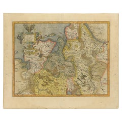
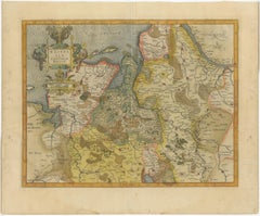
Antique Map of Westfalia, Germany by Mercator/Hondius, circa '1620'

Antique Map of Westfalia, Germany by Mercator/Hondius, circa '1620'

$870Sale Price|20% Off

H 17.72 in W 21.66 in D 0.02 in

Antique Map of Westfalia, Germany by Mercator/Hondius, circa '1620'

Located in Langweer, NL

Antique map titled 'Westfalia cum dioecelsi Bremensi'. Original antique map of Germany. Published by Mercator/Hondius, circa '1620' 17th Century antique detailled map of Westphali...

Category

Antique 16th Century Maps

Materials

Paper

Antique Map of Russia 'in Europe' by W. & A.K. Johnston, circa 1850

Antique Map of Russia 'in Europe' by W. & A.K. Johnston, circa 1850

$219Sale Price|34% Off

H 25.79 in W 21.07 in D 0.02 in

Antique Map of Russia 'in Europe' by W. & A.K. Johnston, circa 1850

By W. & A.K. Johnston

Located in Langweer, NL

Antique Map: Russia in Europe by W. & A.K. Johnston, Circa 1850 This highly detailed antique map, titled *Russia in Europe,* was created by the esteemed Scottish cartographers W. ...

Category

Antique Mid-19th Century Maps

Materials

Paper

Antique Map of Germany by T. Kitchin, circa 1770

Antique Map of Germany by T. Kitchin, circa 1770

$377

H 6.82 in W 8.86 in D 0.02 in

Antique Map of Germany by T. Kitchin, circa 1770

Located in Langweer, NL

Antique map titled 'An Accurate Map of Germany (..) '. Drawn from the best Authorities by T.Kitchin Geogr." Rare edition, drawn and etched by Thomas Kitchin, published, circa 1770.

Category

Antique Mid-18th Century Maps

Materials

Paper

Antique Map of the Saxony Region 'Germany' by F. de Wit, circa 1680

Antique Map of the Saxony Region 'Germany' by F. de Wit, circa 1680

Located in Langweer, NL

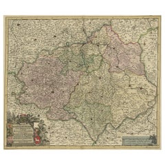
A detailed map of a region in eastern Germany. Cartouches depict coat of arms surrounded by cherubs. The map is fully engraved with towns, political boundaries, rivers and forests. P...

Category

Antique Late 17th Century Dutch Maps

Materials

Paper

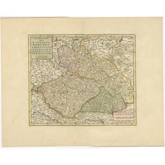
Antique Map of Bohemia in the Present-Day Chech Repubic, 1730

Antique Map of Bohemia in the Present-Day Chech Repubic, 1730

Located in Langweer, NL

Antique map titled 'Nieuwe Kaart van t Koninkryk Bohemen t Hertogdom Silesien markgraafschap Moravien (Moravia) en Lusatien' (Lusatia). Map of Bohemia (Czech Republic) with the surro...

Category

Antique 18th Century Dutch Maps

Materials

Paper

Antique Map of Germany by Hederichs 'circa 1740'

Antique Map of Germany by Hederichs 'circa 1740'

$208

H 9.85 in W 13.78 in D 0.02 in

Antique Map of Germany by Hederichs 'circa 1740'

Located in Langweer, NL

Antique map titled 'Germania'. Rare miniature map of Germany and surroundings. This map covers the entirety of those lands traditionally occupied by Germanic peoples, from the Blatic...

Category

Antique Mid-18th Century Maps

Materials

Paper

Antique Map of Russia in Europe by John Tallis, Paper Print, 1851

Antique Map of Russia in Europe by John Tallis, Paper Print, 1851

Located in Langweer, NL

Antique map titled 'Russia in Europe'. Map of European Russia. Showing vignettes of the Neoskoi Prospect, St. Petersburg, Polish Captives on their way to Siberia, a Russian Bear, Rus...

Category

Antique Mid-19th Century British Maps

Materials

Paper

Original Antique Map of Russia By J.Dower. Unframed, Circa 1835

Original Antique Map of Russia By J.Dower. Unframed, Circa 1835

Located in St Annes, Lancashire

Great map of Russia Drawn and engraved by J.Dower Published by Orr & Smith. C.1835 Unframed. Free shipping

Category

Antique 1830s English Maps

Materials

Paper

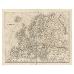
Large Original Antique Map of Europe by Sidney Hall, 1847

Large Original Antique Map of Europe by Sidney Hall, 1847

Located in St Annes, Lancashire

Great map of Europe Drawn and engraved by Sidney Hall Steel engraving Original colour outline Published by A & C Black. 1847 Unframed Free shipping.

Category

Antique 1840s Scottish Maps

Materials

Paper

Antique Map of Europe by Balbi '1847'

Antique Map of Europe by Balbi '1847'

$137Sale Price|20% Off

H 9.06 in W 11.23 in D 0.02 in

Antique Map of Europe by Balbi '1847'

Located in Langweer, NL

Antique map titled 'Europe'. Original antique map of Europe. This map originates from 'Abrégé de Géographie (..)' by Adrien Balbi. Published 1847.

Category

Antique Mid-19th Century Maps

Materials

Paper

Antique Map of Russia in Europe by Lowry, 1852

Antique Map of Russia in Europe by Lowry, 1852

$91Sale Price|20% Off

H 12.21 in W 9.65 in D 0.02 in

Antique Map of Russia in Europe by Lowry, 1852

Located in Langweer, NL

Antique map titled 'Russia in Europe'. Original map of Russia in Europe. This map originates from 'Lowry's Table Atlas constructed and engraved from the most recent Authorities' by J...

Category

Antique Mid-19th Century Maps

Materials

Paper

Old Detailed Map of the Historical Regions of the Duchy of Saxony, Germany, 1680

Old Detailed Map of the Historical Regions of the Duchy of Saxony, Germany, 1680

Located in Langweer, NL

Antique map titled 'Circuli Saxoniae Superior Pars Meridionalis in qua sunt Ducatus Saxoniae, Comitatus Mansfeldiae, et Voitlandiae, Landgraviat Thuringiae, Marchionatus Misniae Prin...

Category

Antique 1680s Maps

Materials

Paper

Antique 1842 Map of Germany by Pierre M. Lapie, Mid-19th Century

Antique 1842 Map of Germany by Pierre M. Lapie, Mid-19th Century

Located in Langweer, NL

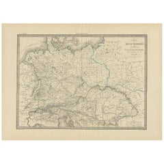
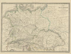
Antique map titled 'Carte de la Germanie Ancienne'. Map of Germany. This map originates from 'Atlas universel de géographie ancienne et moderne (..)' by Pierre M. Lapie and Alexandre...

Category

Antique Mid-19th Century French Maps

Materials

Paper

Antique Map of Bavaria with many details, Germany

Antique Map of Bavaria with many details, Germany

$604Sale Price|20% Off

H 25.36 in W 20.79 in D 0.02 in

Antique Map of Bavaria with many details, Germany

Located in Langweer, NL

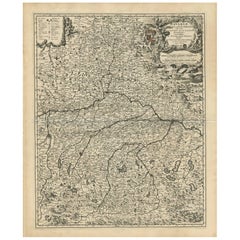
Antique map titled 'Bavariae Circulus atq Electoratus tam cum Adiacentibus quam insertis Regionibus (..)'. Dutch map of Bavaria, showing the many cities, towns, and other features of...

Category

Antique Late 17th Century Maps

Materials

Paper

Get Updated with New Arrivals
Save "Map Of Poland", and we’ll notify you when there are new listings in this category.

Map Of Poland For Sale on 1stDibs

Find many varieties of an authentic map of poland available at 1stDibs. Each map of poland for sale was constructed with extraordinary care, often using paper. There are many kinds of the map of poland you’re looking for, from those produced as long ago as the 18th Century to those made as recently as the 19th Century. You’ll likely find more than one map of poland that is appealing in its simplicity, but Johann Baptist Homann and Johannes Janssonius produced versions that are worth a look.

Finding the Right Collectibles-curiosities for You

Antique and vintage collectibles and curiosities can bring whimsy and wonder to any interior. 

Decorating with old scientific instruments, historical memorabilia and vintage musical instruments, as well as other authentic collectibles and curiosities that can be found on 1stDibs, presents an opportunity to create a unique, natural history museum-like atmosphere in your home that can provoke conversation as often as it pays tribute to how far we’ve come in understanding our world. 

And bringing collectibles and curiosities into your space is actually on trend — Wunderkammern, or curiosity cabinets, were all the rage in Europe during the 1500s and continued to have adherents there and in the U.S. in the following centuries. Today, however, they’re experiencing a real surge in popularity and influencing how many interior designers are furnishing and decorating homes — combining contemporary with antique, scientific with tribal, earthly with extraterrestrial, Les Lalanne tables with Flemish tapestries.

The original Wunderkammern were entire rooms filled with objects demonstrating their owners’ worldly knowledge: A proper one included artificiala or preciosa (objets d’art); naturalia (such as skeletons, shells, minerals); exotica (taxidermy or dried plants); and scientifica (scientific instruments), frequently alongside religious relics and ancient artifacts.

Pay tribute to a history of rich and diverse musical traditions that have taken shape all over the world by decorating your home with a collection of antique and vintage musical instruments — with a little help from strong hanging wire or some wall hooks, vintage brass instruments such as a gong, French horn or trumpet can help elevate a home office or complement the efforts you’ve made to ensure a welcoming vibe in your home’s entryway. Bells or antique wind instruments can add provocative metallic contrasts to dark woods as tabletop decorative objects.  

Create an intriguing focal point with Georgian scientific instruments, such as stick barometers with mahogany cases or lacquered brass telescopes. These items stem from an era named for the monarchies of the four King Georges, who ruled England in succession starting in 1714 (plus King William’s reign, which lasted until 1837). Just as there was beautiful jewelry produced during the period that today is coveted by collectors, there is much to be found in the collectibles and curiosities realm too.

Wanderlust, nostalgia and a shared love of good design are contributing factors to certain trends in decorating — just as vintage trunks and luggage have reappeared as furniture or home accents in a bedroom or foyer, decorating with globes, maps or nautical objects is similarly rooted in the allure of travel and a penchant for the stylish finishing touch that collectibles bring to our homes.

Find a wide range of antique and vintage collectibles and curiosities on 1stDibs.
Read More