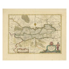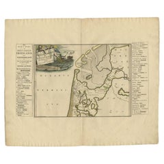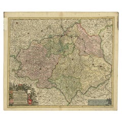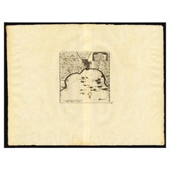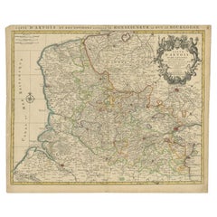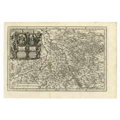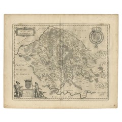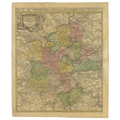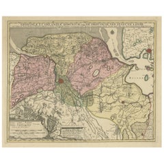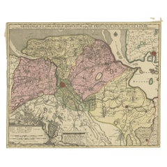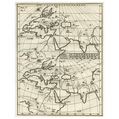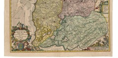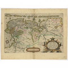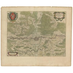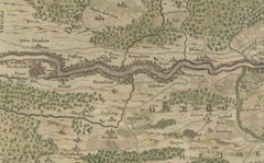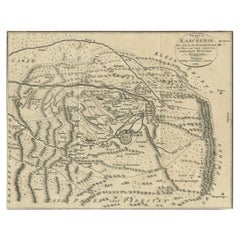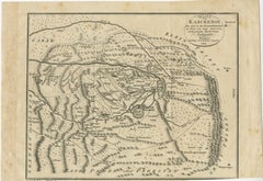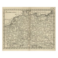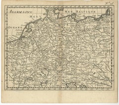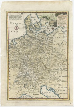
Antique Map of Germany During the Mid-18th Century, Published in 1747
Located in Langweer, NL
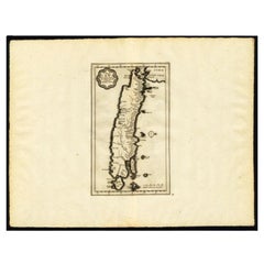
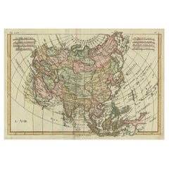
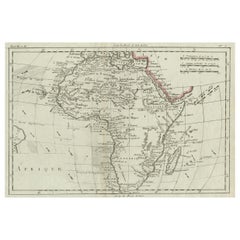
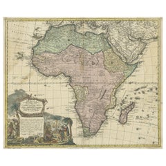
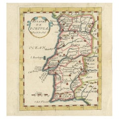
Depending on the individual map, presentation, and context, a rare or antique map can be modern, traditional, abstract, figurative, serious or whimsical.
Category
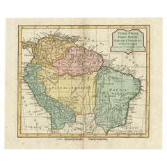
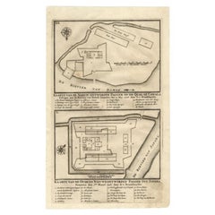
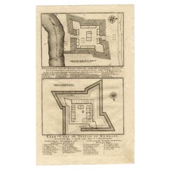
18th Century Rare Antique Maps
Materials
Paper