Items Similar to Antique Map of Asia in the 12th, 13th and 14th Century, 1877
Want more images or videos?
Request additional images or videos from the seller
1 of 5
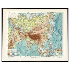
Antique Map of Asia in the 12th, 13th and 14th Century, 1877
About the Item
Antique map titled 'Azie in de 12de, 13de en 14de eeuw.' (Asia in the 12th, 13th and 14th century). Historic map of Asia. This original antique map originates from: 'Historisch-Geographische Atlas der Algemeene en Vaderlandsche Geschiedenis' (Historic Geographic Atlas of the general and Dutch history) by W. Huberts, published in Zwolle, The Netherlands in 1877.
Artists and Engravers: W. Huberts, author. W. B. Kuijpers, lithographer.
Condition: Fine. General age related toning and soiling. Slightly foxed mainly in the margins, not effecting image. A few small tears in the margins and middle fold, backed. Please study image carefully.
Date: 1877
Overall size: 37 x 29.5 cm.
Image size: 33.5 x 24.5 cm.
We sell original antique maps to collectors, historians, educators and interior decorators all over the world. Our collection includes a wide range of authentic antique maps from the 16th to the 20th centuries. Buying and collecting antique maps is a tradition that goes back hundreds of years. Antique maps have proved a richly rewarding investment over the past decade, thanks to a growing appreciation of their unique historical appeal. Today the decorative qualities of antique maps are widely recognized by interior designers who appreciate their beauty and design flexibility. Depending on the individual map, presentation, and context, a rare or antique map can be modern, traditional, abstract, figurative, serious or whimsical. We offer a wide range of authentic antique maps for any budget.
- Dimensions:Height: 11.62 in (29.5 cm)Width: 14.57 in (37 cm)Depth: 0 in (0.01 mm)
- Materials and Techniques:
- Period:
- Date of Manufacture:1877
- Condition:
- Seller Location:Langweer, NL
- Reference Number:
About the Seller
5.0
Platinum Seller
These expertly vetted sellers are 1stDibs' most experienced sellers and are rated highest by our customers.
Established in 2009
1stDibs seller since 2017
1,932 sales on 1stDibs
Typical response time: <1 hour
- ShippingRetrieving quote...Ships From: Langweer, Netherlands
- Return PolicyA return for this item may be initiated within 14 days of delivery.
More From This SellerView All
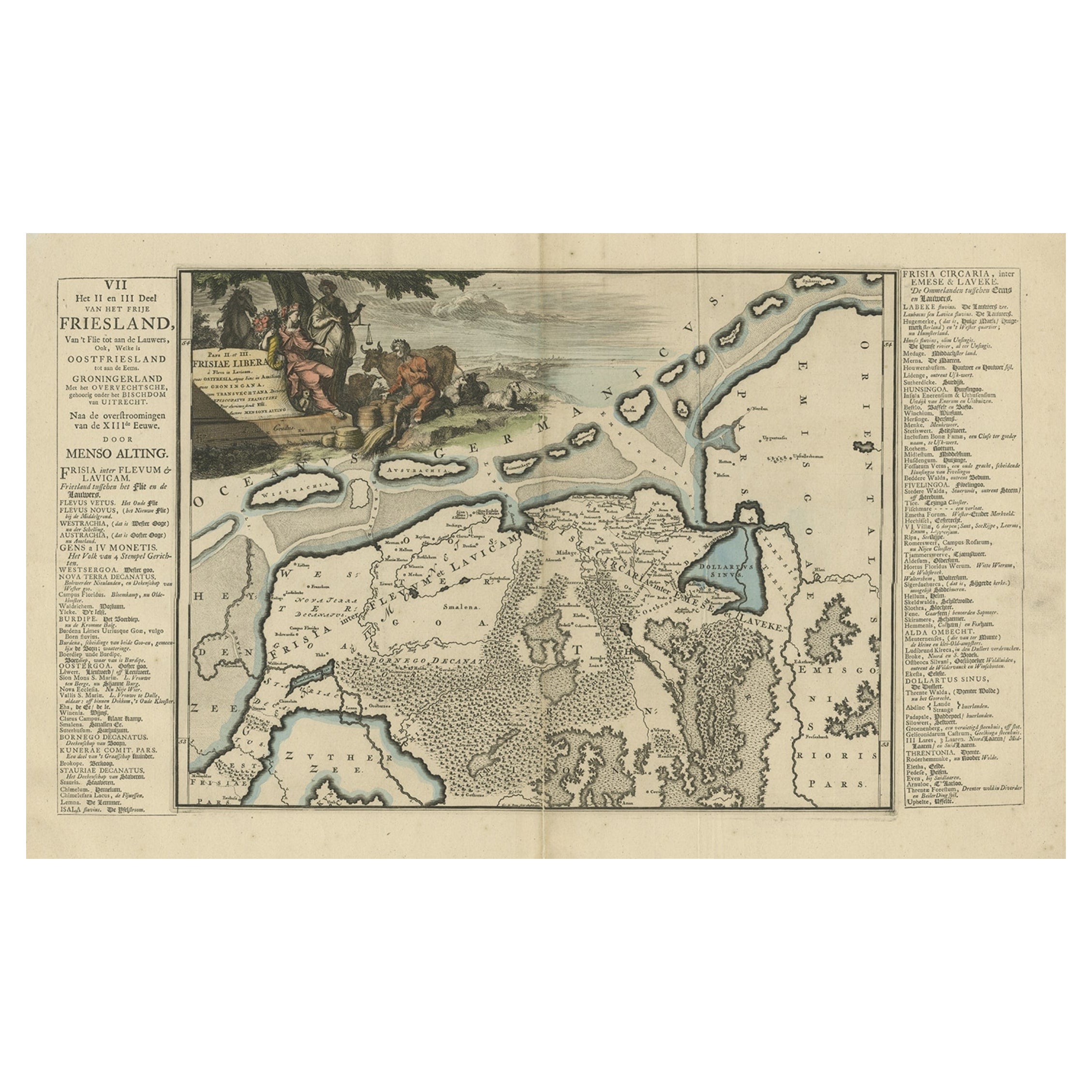
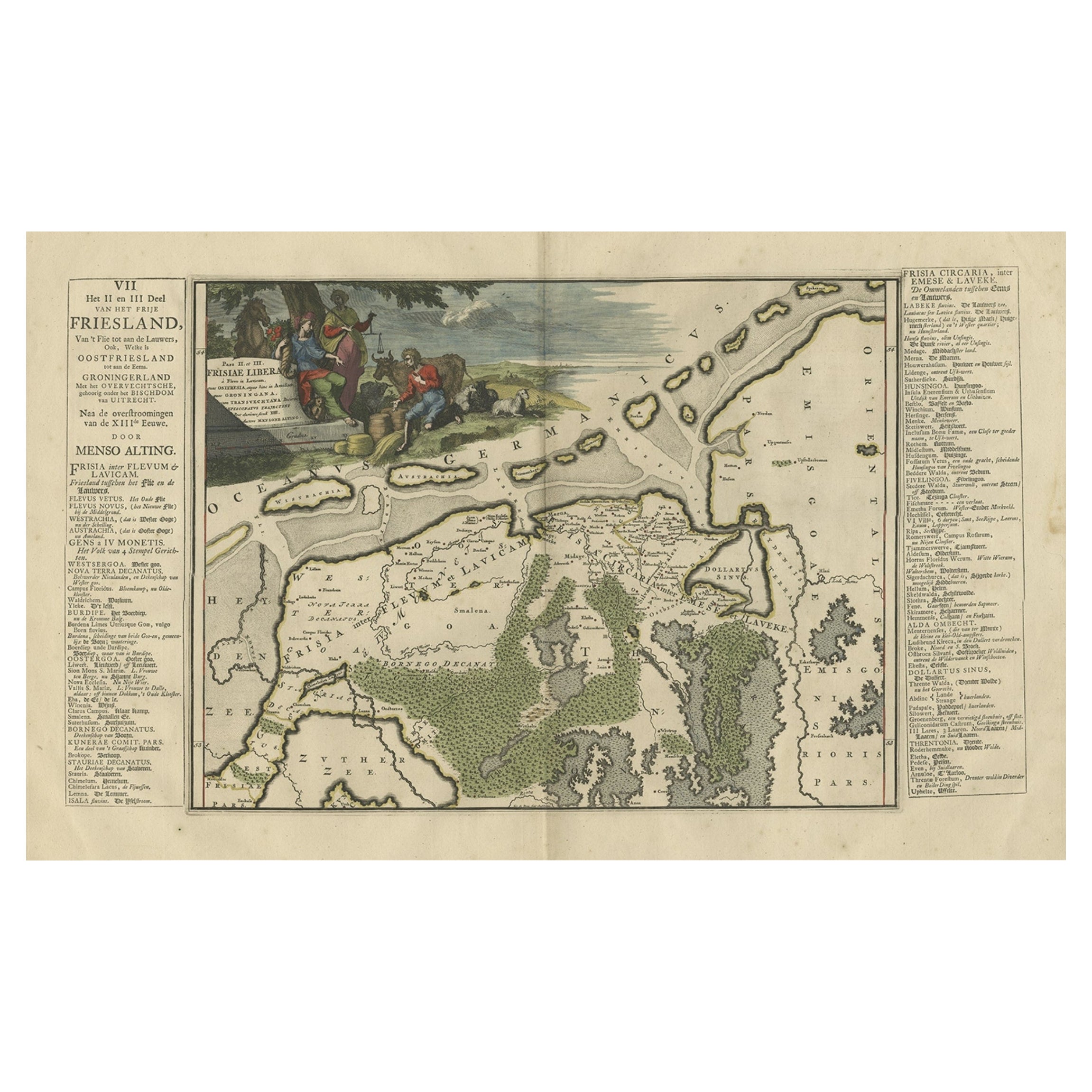
- Antique Map of Friesland after the Floods of the 13th Century, 1718Located in Langweer, NLAntique map Friesland titled 'Pars II et III Frisiae Libera(..)'. Old map of Friesland, the Netherlands, after the floods of the 13th century. Originates from 'Uitbeelding van de Hee...Category
Antique 18th Century Maps
MaterialsPaper
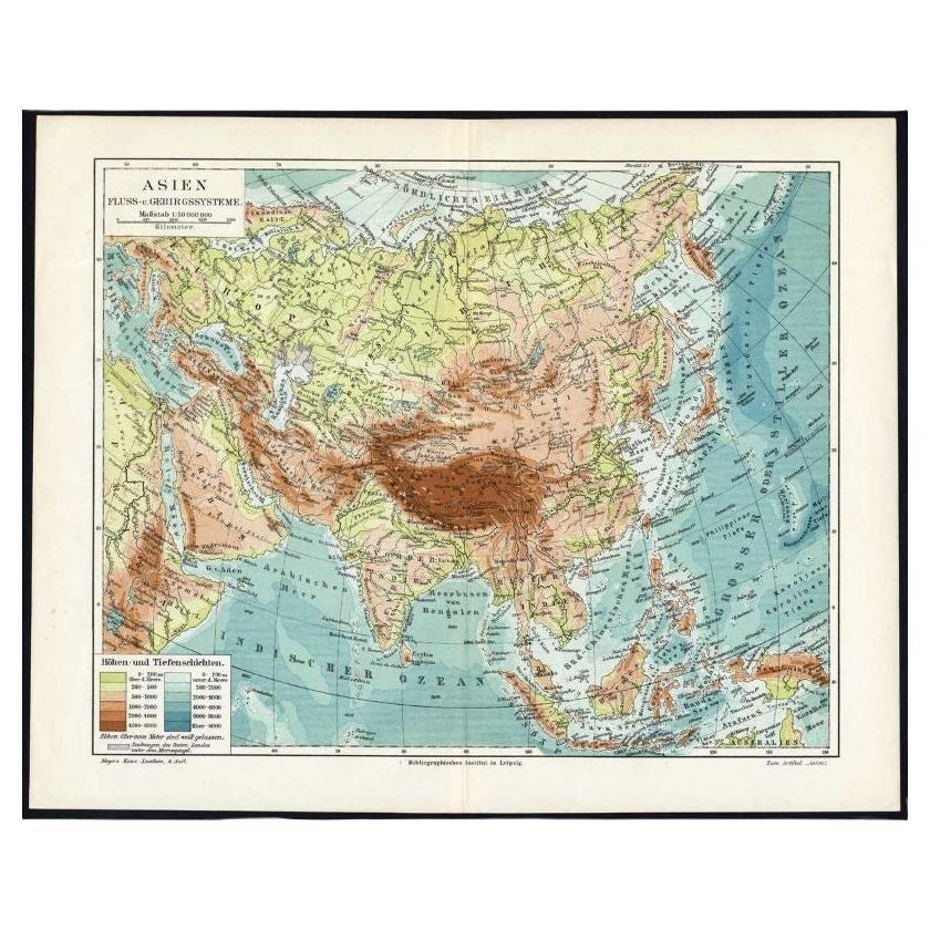
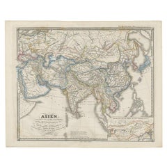
- Antique Map of the Rivers and Mountains in Asia, c.1895By MeyerLocated in Langweer, NLAntique map titled 'Asien. Fluss- und Gebirgssysteme.' Map of Asia, showing river- and mountain systems. This map originates from 'Meyers grosses Konversations-Lexikon.', published in Leipzig and Vienna. Meyers Konversations-Lexikon was a major German encyclopedia that existed in various editions from 1839 until 1984, when it merged with the Brockhaus encyclopedia. Several of the plates were also used in Dutch Encyclopedia's like Winkler Prins...Category
Antique 19th Century Maps
MaterialsPaper
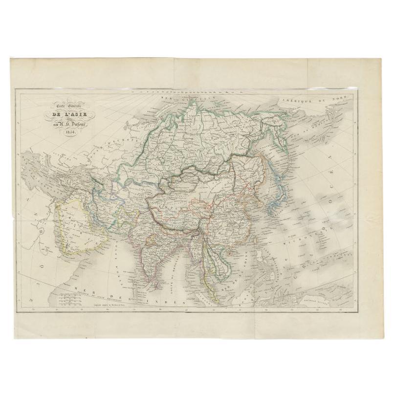
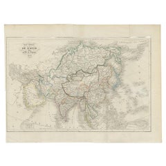
- Antique Map of The Asian Continent, 1855Located in Langweer, NLAntique map titled 'Carte Générale de l 'Asie'. Beautiful map of the Asian continent. This map originates from 'Voyage en Asie et en Afrique, d'aprés les récits des derniers voyageur...Category
Antique 19th Century Maps
MaterialsPaper
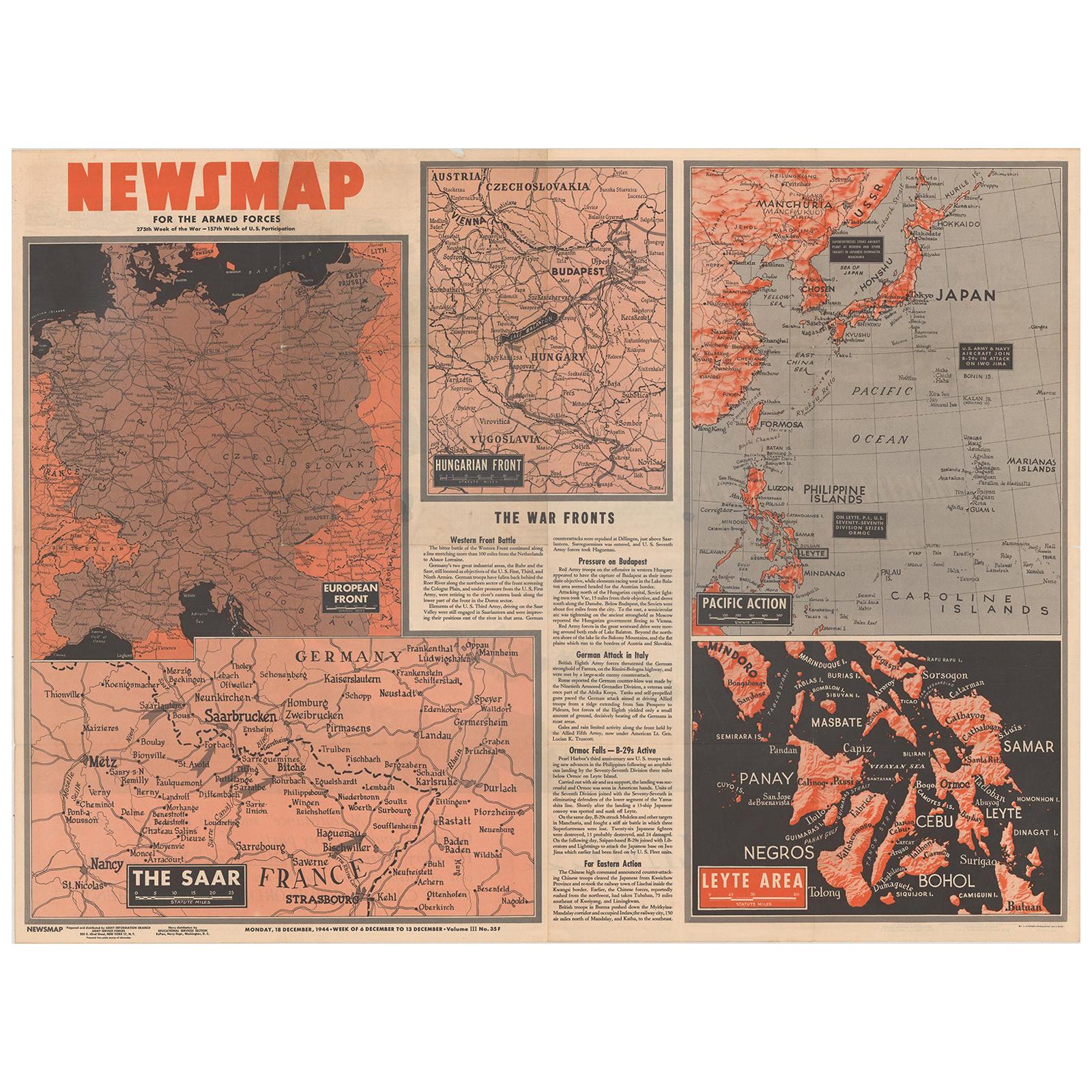
- Antique Map of the War Situation in Europe and Asia, 1944Located in Langweer, NLAntique map titled 'Newsmap for the Armed Forces'. This "newsmap" was issued on Monday, December 18, 1944, and covers the news from December 6-13, 1945 - the 275th week of the war. T...Category
20th Century Maps
MaterialsPaper
- Old Map of Asia Depicting Asia in the 6th through the 9th Centuries, ca. 1855Located in Langweer, NLAntique map Asia titled 'Asien vom VIten bis in die erste Haelfte des IXten Jahrhundert’s Zeit der grossfen Ausdehnung des Ralifen Reiches; des Reiche...Category
Antique 19th Century Maps
MaterialsPaper

You May Also Like
- María Noël, PINTA Art Fair, Aina Nowack Gallery, London, Nov. 12th-13th, 2011Located in valatie, NYPINTA Art Fair, Aina Nowack Gallery, London, UK. 1st Ed softcover exhibition catalog. The present body of work - all mixed media and collage - is an ho...Category
21st Century and Contemporary Books
MaterialsPaper
- 12th Century Rare Romanesque Wood Sculpture of the Virgin MaryLocated in Vero Beach, FL12th century extremely rare romanesque wood sculpture of the Virgin Mary. Magnificent wood hand carved sculpture of the Virgin Mary holding a book to her chest. It is an extremely rare survivor of the 12th century. The style is European, possibly French or English. This statue is a testimony to beautiful religious art from about 1150. A truly rare Romanesque sculpture...Category
Antique 15th Century and Earlier English Medieval Figurative Sculptures
MaterialsStone
- Original Antique Map of Asia. C.1780Located in St Annes, LancashireGreat map of Asia Copper-plate engraving Published C.1780 Two small worm holes to right side of map Unframed.Category
Antique Early 1800s English Georgian Maps
MaterialsPaper

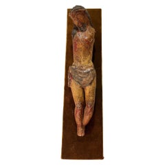
- 13th Century Period Wood Carved Polychrome Sculpture of Corpus ChristiLocated in Vero Beach, FL13th Century Period Wood Carved Polychrome Sculpture of Corpus Christi Rare and beautiful sculpture of Corpus Christi. The artwork, probably German, is carved from hardwood. This f...Category
Antique 15th Century and Earlier Unknown Medieval Religious Items
MaterialsHardwood, Paint
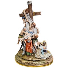
- Sitzendorf Germany 13th Station of the Cross Museum Quality Porcelain SceneBy SitzendorfLocated in Tustin, CAVery large, handmade and hand painted, museum quality porcelain from Sitzendorf Porcelain Manufactory in Thuringia, Germany depicts one of the most famous religious scenes in all of ...Category
Early 20th Century Italian Other Religious Items
MaterialsPorcelain
- Hand-Colored 18th Century Homann Map of the Black Sea, Turkey and Asia MinorBy Johann Baptist HomannLocated in Alamo, CAAn attractive original early 18th century hand-colored map of the Black Sea and Turkey entitled "Carte de L'Asie Minevre ou de la Natolie et du Pont Evxin Tiree des Voyages et des Ob...Category
Antique Early 18th Century German Maps
MaterialsPaper


Recently Viewed
View AllMore Ways To Browse
Map Of Asia
Antique Map Of Asia
Antique Maps Of Asia
Fine Antique Maps
Historic Antique Maps
Texas Antique Furniture
Antique Texas Furniture
Cross Decor
Antique Large Maps
Britain Map
American West Antiques
Antique Furniture Long Island
Antique London Maps
Antique London Map
Antique Map London
London Antique Maps
Antique Maps London
London Antique Map