19th Century World Map

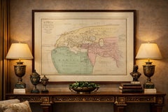
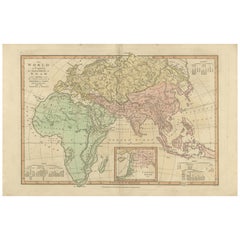
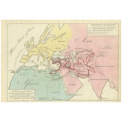
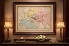
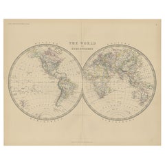
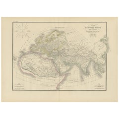
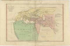
World According to Herodotus – Antique Classical World Map, Wilkinson 1819

World According to Herodotus – Antique Classical World Map, Wilkinson 1819

Located in Langweer, NL

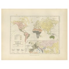
World According to Herodotus – Antique Classical World Map, Wilkinson 1819 Description: This fascinating antique map titled The World According to the Idea of Herodotus presents a r...

Category

Antique Early 19th Century British Maps

Materials

Paper

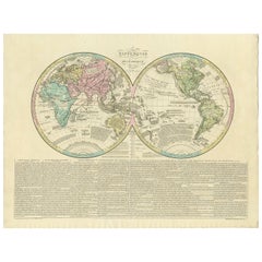
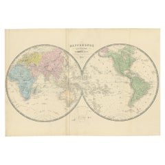
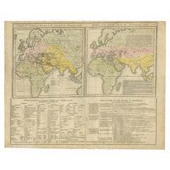
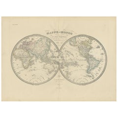
Antique World Map by Lesage, 1823

Antique World Map by Lesage, 1823

Located in Langweer, NL

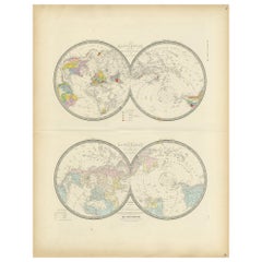
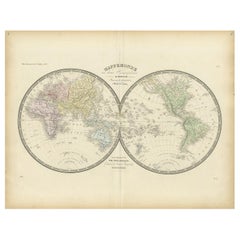
Antique world map titled 'Mappe Monde Historique'. The map depicts both the Eastern and Western Hemispheres, with the hemispheres meeting in the middle of the Pacific Ocean near the ...

Category

Antique Early 19th Century Maps

Materials

Paper

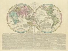
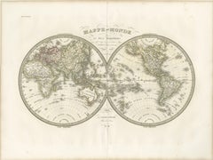
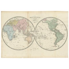
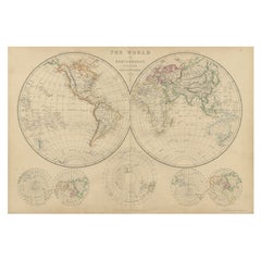
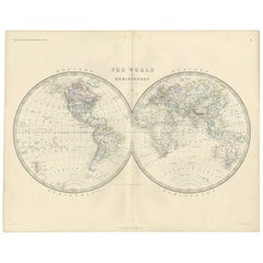
Antique Double Hemisphere World Map – Lapie, Paris, 1838

Antique Double Hemisphere World Map – Lapie, Paris, 1838

Located in Langweer, NL

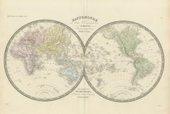
Lapie, engraved by Pierre Antoine Tardieu, Paris, 1838 Keywords: world map, double hemisphere, mappemonde, eastern hemisphere, western hemisphere, global map, 19th century world, Eu...

Category

Antique Early 19th Century French Maps

Materials

Paper

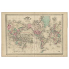
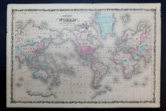
Antique Map of the World by Johnson, '1872'

Antique Map of the World by Johnson, '1872'

Located in Langweer, NL

Antique map titled 'Johnson's World. Original world map. This map originates from 'Johnson's New Illustrated Family Atlas of the World' by A.J. Johnson. Published 1872.

Category

Antique Late 19th Century Maps

Materials

Paper

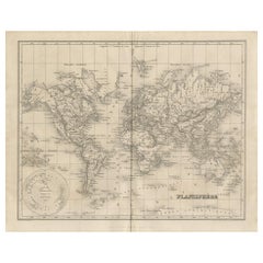
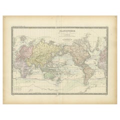
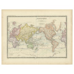
Antique Map of the World by Balbi '1847'

Antique Map of the World by Balbi '1847'

Located in Langweer, NL

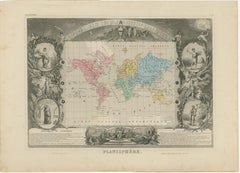
Antique map titled 'Planisphère'. Original antique map of the world. This map originates from 'Abrégé de Géographie (..)' by Adrien Balbi. Published 1847.

Category

Antique Mid-19th Century Maps

Materials

Paper

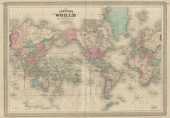
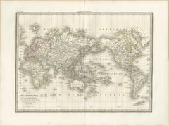
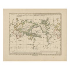
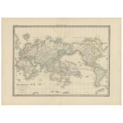
Antique World Map on Mercator Projection – Lapie, Paris, 1838

Antique World Map on Mercator Projection – Lapie, Paris, 1838

Located in Langweer, NL

Executed on a Mercator projection, the map presents a comprehensive and refined view of the known world during the early 19th century, a period marked by expanding geographic knowled...

Category

Antique Early 19th Century French Maps

Materials

Paper

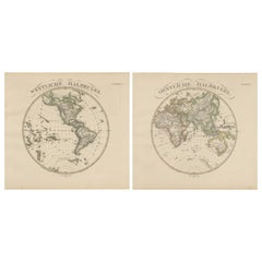
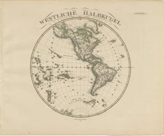
Western & Eastern Hemisphere Maps – World Double Hemisphere Engravings 1857

Western & Eastern Hemisphere Maps – World Double Hemisphere Engravings 1857

Located in Langweer, NL

It also includes Polynesia across the Pacific, with labelled island groups reflecting mid-19th-century geographical knowledge. The Eastern Hemisphere map depicts Europe, Asia, Afric...

Category

Antique Mid-19th Century German Maps

Materials

Paper

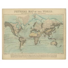
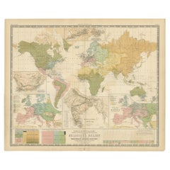
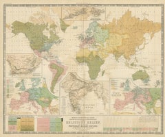
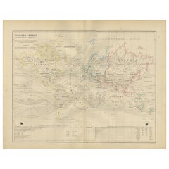
Antique Physical Map of the World by Reynolds, 1849

Antique Physical Map of the World by Reynolds, 1849

Located in Langweer, NL

Antique physical map of the world, showing the discoveries of the most eminent modern geographers. Originates from 'Geographical Diagrams '. Artists and Engravers: Published by J...

Category

Antique 19th Century Maps

Materials

Paper

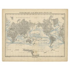
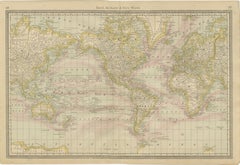
Antique Mercator Projection World Map by Petri, c.1873

Antique Mercator Projection World Map by Petri, c.1873

Located in Langweer, NL

Antique world map titled 'Wereldkaart naar Mercator's Projectie'. Old map of the world. This map originates from 'School-Atlas van alle Deelen der Aarde'. Artists and engravers: ...

Category

Antique 19th Century Maps

Materials

Paper

World Antique Map c.1888 – Rand McNally, Continents & Territories

World Antique Map c.1888 – Rand McNally, Continents & Territories

Located in Langweer, NL

Antique Map of Mexico – Rand McNally, circa 1888 This antique map titled “Rand, McNally & Co.’s Mexico” was published around 1888 and depicts Mexico in the late 19th century, a peri...

Category

Antique Late 19th Century American Maps

Materials

Paper

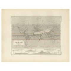
Antique Rain Map of the World by Johnston '1850'

Antique Rain Map of the World by Johnston '1850'

Located in Langweer, NL

Antique map titled 'Hyetographic or Rain Map of the World'. Original antique rain map of the world. This map originates from 'The Physical Atlas of Natural Phenomena' by A.K. Johnsto...

Category

Antique Mid-19th Century Maps

Materials

Paper

Antique Geological Map of the World by Johnston '1850'

Antique Geological Map of the World by Johnston '1850'

Located in Langweer, NL

Antique map titled 'The Geological Structure of the Globe'. Original antique geological map of the world. This map originates from 'The Physical Atlas of Natural Phenomena' by A.K. J...

Category

Antique Mid-19th Century Maps

Materials

Paper

Antique Map of the World by D'Urville '1853'

Antique Map of the World by D'Urville '1853'

Located in Langweer, NL

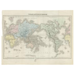
Antique map titled 'Voyage Autour du Monde'. Original map of the world. This map originates from volume 1 of 'Voyage Autour du Monde' by Comte-Amiral Dumont D'Urville.

Category

Antique Mid-19th Century Maps

Materials

Paper

Antique Map of the World in two sheets, 1852

Antique Map of the World in two sheets, 1852

Located in Langweer, NL

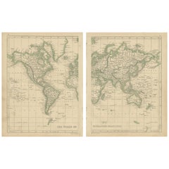
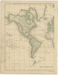
Antique map titled 'The World on Mercator's Projection'. Two individual sheets of the world. This map originates from 'Lowry's table Atlas constructed and engraved from the most rece...

Category

Antique Mid-19th Century Maps

Materials

Paper

Antique World Map Planisphere, Decorative Original Hand Coloring, c.1845

Antique World Map Planisphere, Decorative Original Hand Coloring, c.1845

Located in Langweer, NL

It is among the most elaborate and visually striking compositions from Levasseur’s atlas and represents a complete decorative vision of the 19th-century world. At the center, the ma...

Category

Antique Mid-19th Century French Maps

Materials

Paper

Antique Map of the World by A. Vuillemin, 1854

Antique Map of the World by A. Vuillemin, 1854

By Victor Levasseur

Located in Langweer, NL

This map originates from ‘Atlas National de la France Illustré’. Published by A. Combette, Paris, 1854.

Category

Antique Mid-19th Century Maps

Materials

Paper

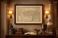
Antique Ancient World Map – Orbis Veteribus Notus, Engraving c.1818

Antique Ancient World Map – Orbis Veteribus Notus, Engraving c.1818

Located in Langweer, NL

Particularly effective when framed horizontally or displayed as part of a coordinated classical map set. We sell the map unframed. Technique: Engraving with original outline color ...

Category

Antique Early 19th Century British Maps

Materials

Paper

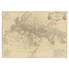
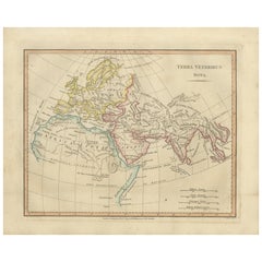
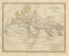
Terra Veteribus Nota — Classical World Map of Antiquity, Wilkinson 1814

Terra Veteribus Nota — Classical World Map of Antiquity, Wilkinson 1814

Located in Langweer, NL

Terra Veteribus Nota — Classical World Map of Antiquity, Wilkinson 1827 This elegant antique map titled *Terra Veteribus Nota* (“The World Known to the Ancients”) was published in L...

Category

Antique Early 19th Century British Maps

Materials

Paper

Antique World Map before the Voyages of Christopher Columbus, 1880

Antique World Map before the Voyages of Christopher Columbus, 1880

Located in Langweer, NL

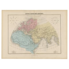
Antique world map titled 'Monde Connu des Anciens'. Antique map of the World and continents before the voyages of Christopher Columbus. This map originates from 'Géographie Universel...

Category

Antique 19th Century Maps

Materials

Paper

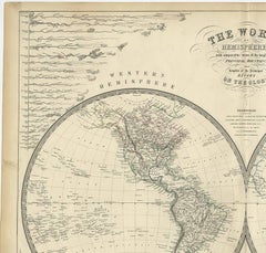
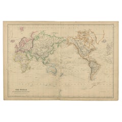
Antique Map of the World, Mercator Projection, by Wyld, '1845'

Antique Map of the World, Mercator Projection, by Wyld, '1845'

Located in Langweer, NL

Antique map titled 'The World'. Original antique world map, on Mercator's projection. This map originates from 'An Atlas of the World, Comprehending Separate Maps of its Various Coun...

Category

Antique Mid-19th Century Maps

Materials

Paper

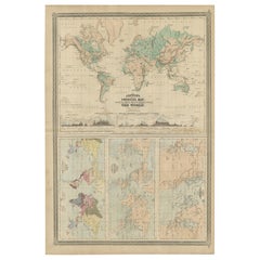
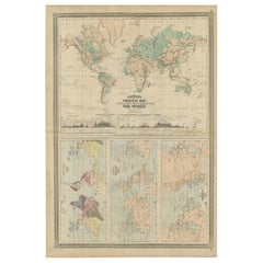
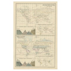
Four Physical Maps of the World on One Sheet , 1872

Four Physical Maps of the World on One Sheet , 1872

Located in Langweer, NL

Four physical maps of the world on one sheet. The upper map shows lowlands, highlands and highest lands. The other maps show world's races, ocean current and volcanoes, and magnetic ...

Category

Antique Late 19th Century Maps

Materials

Paper

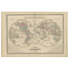
Antique Map of the World in Hemispheres by Johnson, '1872'

Antique Map of the World in Hemispheres by Johnson, '1872'

Located in Langweer, NL

Antique map titled 'Johnson's Globular World. Original world map depicting the Eastern Hemisphere and the Western Hemisphere. This map originates from 'Johnson's New Illustrated Fami...

Category

Antique Late 19th Century Maps

Materials

Paper

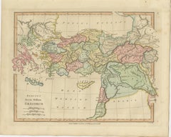
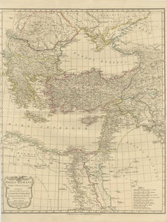
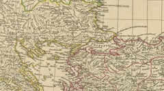
Classical World Map of Greece, Asia Minor & Levant, Wilkinson Atlas 1817

Classical World Map of Greece, Asia Minor & Levant, Wilkinson Atlas 1817

Located in Langweer, NL

The Black Sea (Pontus Euxinus) and the Mediterranean are elegantly rendered, while a fine network of rivers, mountain ranges, and ancient cities provides insight into the geographica...

Category

Antique Early 19th Century British Maps

Materials

Paper

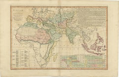
Islamic World Map with Africa, Middle East, India, Indies, Wilkinson 1817

Islamic World Map with Africa, Middle East, India, Indies, Wilkinson 1817

Located in Langweer, NL

Islamic World Map, Africa Middle East India Indies, Wilkinson 1817 This finely engraved and delicately hand-colored map presents a sweeping view of the Islamic world as understood i...

Category

Antique Early 19th Century British Maps

Materials

Paper

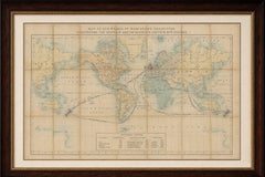
World Map – Mercator Projection with Global Sea Routes, Published in 1857

World Map – Mercator Projection with Global Sea Routes, Published in 1857

Located in Langweer, NL

Notably, the map shows sea routes and comparative scales, providing a valuable overview for mid-19th-century navigators and scholars.

Category

Antique Mid-19th Century German Maps

Materials

Paper

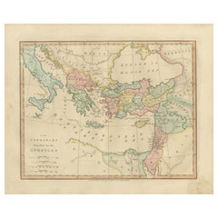
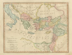
Early Christian World Biblical Map — Travels of the Apostles, Antique, 1798

Early Christian World Biblical Map — Travels of the Apostles, Antique, 1798

Located in Langweer, NL

Early Christian World Biblical Map — Travels of the Apostles, Antique, 1798 This finely engraved and delicately hand-colored biblical map titled “The Countries Travelled by the Apos...

Category

Antique Early 19th Century British Maps

Materials

Paper

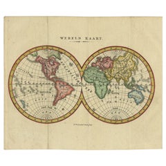
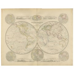
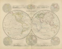
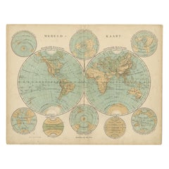
Small Antique World Map in Decorative Old Hand-Colouring, circa 1840

Small Antique World Map in Decorative Old Hand-Colouring, circa 1840

Located in Langweer, NL

Antique map titled 'Wereld Kaart'. Small and very decorative double hemisphere world map. Source unknown, to be determined. Published c.1840. Artists and Engravers: Daniel Veelwaa...

Category

Antique 19th Century Maps

Materials

Paper

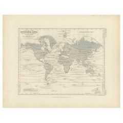
Antique Map showing Isotherm Lines throughout the World by Johnston '1850'

Antique Map showing Isotherm Lines throughout the World by Johnston '1850'

Located in Langweer, NL

Antique map titled 'Humboldt's System of Isothermal Lines'. Original antique map showing isotherm lines throughout the world. This map originates from 'The Physical Atlas of Natural ...

Category

Antique Mid-19th Century Maps

Materials

Paper

Antique Map Showing the Religions Around the World by Johnston '1854'

Antique Map Showing the Religions Around the World by Johnston '1854'

Located in Langweer, NL

Antique map titled 'Moral & Statistical Chart showing the Geographical Distribution of Man According to Religious Belief'. Rare large-size thematic map on the distribution of rel...

Category

Antique Mid-19th Century Maps

Materials

Paper

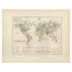
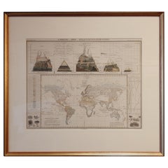
Antique Map of the Distribution of Vegetation throughout the World '1851'

Antique Map of the Distribution of Vegetation throughout the World '1851'

Located in Langweer, NL

Antique map titled 'Umrisse der Pflanzengeographie'. Original antique map showing the distribution of vegetation throughout the world. Five drawings above the map show the vegetation...

Category

Antique Mid-19th Century Maps

Materials

Paper

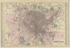
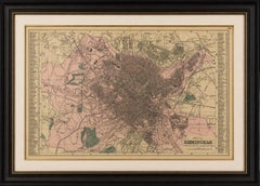
Victorian Birmingham City Plan Map – Edward Weller 1885, Workshop of the World

Victorian Birmingham City Plan Map – Edward Weller 1885, Workshop of the World

Located in Langweer, NL

Victorian Birmingham City Plan Map – Edward Weller 1885, Workshop of the World This highly detailed original lithographic city plan of Birmingham was engraved and published by Edwar...

Category

Antique Late 19th Century British Maps

Materials

Paper

World Map in Mercator’s Projection – Nieuwe Hand-Atlas, Leiden 1876

World Map in Mercator’s Projection – Nieuwe Hand-Atlas, Leiden 1876

Located in Langweer, NL

World Map in Mercator’s Projection – Nieuwe Hand-Atlas, Leiden 1876 This 19th-century Dutch world map, titled “Wereld-Kaart in Mercator’s Projectie,” was published in 1876 in the Ni...

Category

Antique 1870s Dutch Maps

Materials

Paper

Biblical World Map of the Descendants of Noah — Wilkinson Atlas Classica, 1827

Biblical World Map of the Descendants of Noah — Wilkinson Atlas Classica, 1827

Located in Langweer, NL

Antique Biblical World Map Descendants of Noah Asia Europe Africa Wilkinson 1827 This fascinating and highly decorative early nineteenth-century biblical world map was published in ...

Category

Antique Early 19th Century British Maps

Materials

Paper

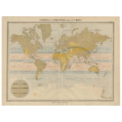
World Wind Currents Map – “Courants de l’Atmosphère” by Andriveau-Goujon, 1861

World Wind Currents Map – “Courants de l’Atmosphère” by Andriveau-Goujon, 1861

Located in Langweer, NL

It reflects the growing 19th-century interest in global systems and navigation and would appeal to collectors of antique maps, maritime history, or early meteorological science.

Category

Antique Mid-19th Century French Maps

Materials

Paper

Double Hemisphere World Map from the Nieuwe Hand-Atlas, Leiden 1876

Double Hemisphere World Map from the Nieuwe Hand-Atlas, Leiden 1876

Located in Langweer, NL

Title: Double Hemisphere World Map from the Nieuwe Hand-Atlas, Leiden 1876 Description: This 19th-century double-hemisphere world map, titled “Wereldkaart volgens gewone projectie v...

Category

Antique 1870s Dutch Maps

Materials

Paper

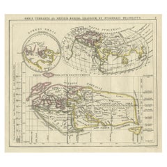
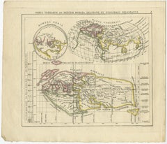
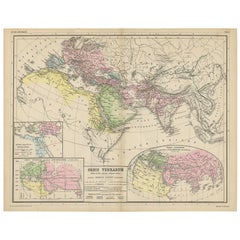
Antique Map of the Old World Projection, Entitled Orbis Terrarum Ad Mentem, 1825

Antique Map of the Old World Projection, Entitled Orbis Terrarum Ad Mentem, 1825

Located in Langweer, NL

Antique map titled 'Orbis Terrarum ad Mentem (..)'. Old map of the world originating from 'Atlas der Oude Wereld'. Artists and Engravers: Published by C. Ph. Funke and W. van Boe...

Category

Antique 19th Century Maps

Materials

Paper

Antique Map of the World Showing the Distribution of Plants and Minerals, 1872

Antique Map of the World Showing the Distribution of Plants and Minerals, 1872

Located in Langweer, NL

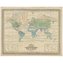
Antique map titled 'Johnson's World showing the distribution of the Characteristic Forest Trees (..)'. Original world map showing the distribution of plants and minerals over the glo...

Category

Antique Late 19th Century Maps

Materials

Paper

Antique Hemisphere Map of the World 'Two on One Sheet' by Levasseur, '1875'

Antique Hemisphere Map of the World 'Two on One Sheet' by Levasseur, '1875'

Located in Langweer, NL

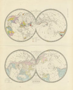
Antique map titled 'Mappemonde projetée sur l'Horizon de Paris et de son Antipode - Mappemonde sur la projection polaire'. Large map with two hemisphere world maps on one sheet. This...

Category

Antique Late 19th Century Maps

Materials

Paper

World Mail and Passenger Routes to New Zealand, 1883

World Mail and Passenger Routes to New Zealand, 1883

Located in Langweer, NL

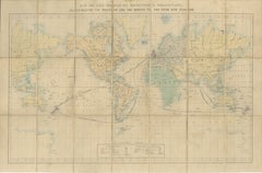
Edward Stanford, Map of the World on Mercator's Projection Illustrating the Routes to and from New Zealand, Folding Map, c.1880 A rare and highly evocative Victorian emigrant and tr...

Category

Antique Late 19th Century British Maps

Materials

Paper

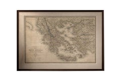
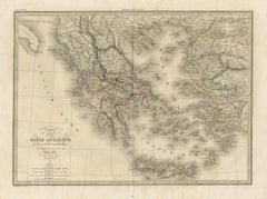
Antique Map of Ancient Greece, Mediterranean Balkans, Lapie Tardieu 1838

Antique Map of Ancient Greece, Mediterranean Balkans, Lapie Tardieu 1838

Located in Langweer, NL

Keywords: antique Greece map, Ancient Greece map, Lapie atlas 1838, Tardieu engraving, Mediterranean map antique, Balkans map 19th century, classical antiquity map, Aegean islands ma...

Category

Antique Early 19th Century French Maps

Materials

Paper

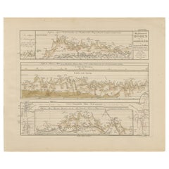
Mountain Elevation Profiles – Alps, Pyrenees, Andes & World Heights 1857

Mountain Elevation Profiles – Alps, Pyrenees, Andes & World Heights 1857

Located in Langweer, NL

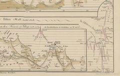
Mountain Elevation Profiles – Alps, Pyrenees, Andes & World Heights 1857 This intriguing antique print shows comparative elevation profiles titled “Die bekannteren Höhen über der Me...

Category

Antique Mid-19th Century German Maps

Materials

Paper

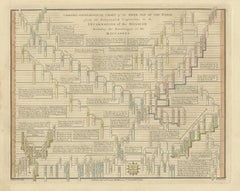
Chrono-Genealogical Chart Fifth Age of the World — Wilkinson 1807

Chrono-Genealogical Chart Fifth Age of the World — Wilkinson 1807

Located in Langweer, NL

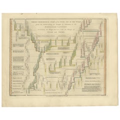
Chrono-Genealogical Chart Fifth Age of the World — Wilkinson 1827 This finely engraved and delicately hand-colored chrono-genealogical chart titled “Chrono-Genealogical Chart of the...

Category

Antique Early 19th Century British Maps

Materials

Paper

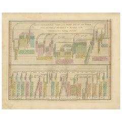
Chrono-Genealogical Chart Sixth Age of the World — Wilkinson 1807

Chrono-Genealogical Chart Sixth Age of the World — Wilkinson 1807

Located in Langweer, NL

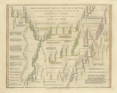
hrono-Genealogical Chart Sixth Age of the World — Wilkinson 1807 This finely engraved and delicately hand-colored chrono-genealogical chart titled “Chrono-Genealogical Chart of the ...

Category

Antique Early 19th Century British Maps

Materials

Paper

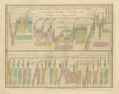
Chrono-Genealogical Chart Third Age of the World — Israelites Exodus, 1823

Chrono-Genealogical Chart Third Age of the World — Israelites Exodus, 1823

Located in Langweer, NL

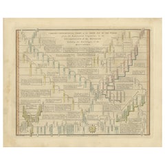
Chrono-Genealogical Chart Third Age of the World — Israelites Exodus, 1823 This finely engraved and delicately hand-colored chrono-genealogical chart titled “Chrono-Genealogical Cha...

Category

Antique Early 19th Century British Maps

Materials

Paper

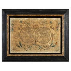
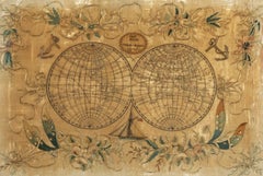
19th Century Embroidered Silk Panel Map Of The World

19th Century Embroidered Silk Panel Map Of The World

Located in Forney, TX

Exquisitely hand-crafted in Continental Europe in the 19th century, depicting map of the world, double hemisphere, having a highly attractive appearance, with finely worked details, ...

Category

Antique 19th Century European Victorian Decorative Art

Materials

Silk, Thread

Antique Map of the World by Ferrario '1831'

Antique Map of the World by Ferrario '1831'

Located in Langweer, NL

Original antique map of the world. This print originates from 'Costume Antico e Moderno: Palestine, China, India, Oceania' by Ferrario. Published 1831.

Category

Antique Mid-19th Century Prints

Materials

Paper

Ancient World Map, Roman Macedonian Persian Empires, Ferrario 1815

Ancient World Map, Roman Macedonian Persian Empires, Ferrario 1815

Located in Langweer, NL

Antique Map of Asia 1815 – Carta Generale dell’Asia, Ferrario, Italy This refined early 19th-century map presents a comprehensive view of the Asian continent, titled Carta Generale ...

Category

Antique Early 19th Century Italian Prints

Materials

Paper

Maps of the Ancient World and the Posterity of Noah, 1820

Maps of the Ancient World and the Posterity of Noah, 1820

Located in Langweer, NL

Two maps on one sheet. Hhand colored engraved lithograph, depicting the world as known to the Ancients on Mercator's projection and the Posterity of Noah. The first showns the Empire...

Category

Antique 19th Century Prints

Materials

Paper

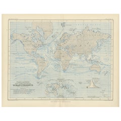
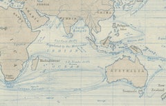
World Map of Ocean Currents by A.K. Johnston, Educational Print 1852

World Map of Ocean Currents by A.K. Johnston, Educational Print 1852

Located in Langweer, NL

This print is a compelling artifact of early scientific cartography, ideal for collectors of antique maps, maritime history, or 19th-century educational materials.

Category

Antique Mid-19th Century Scottish Prints

Materials

Paper

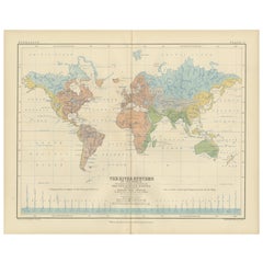
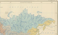
River Systems Map of the World by A.K. Johnston – Educational Print 1852

River Systems Map of the World by A.K. Johnston – Educational Print 1852

Located in Langweer, NL

River Systems Map of the World by A.K. Johnston – Educational Print 1852 This striking 1852 map titled "The River Systems of the World" was created by the noted Scottish geographer ...

Category

Antique Mid-19th Century Scottish Prints

Materials

Paper

All The World Over By Edwin Hodder, 2 Vol Set 1876 With Maps

All The World Over By Edwin Hodder, 2 Vol Set 1876 With Maps

Located in Bridgeport, CT

"All the World Over" published in two volumes in 1875-1876 by T. Cook & Son and Hodder & Stoughton in London, is a collection of stories of travel, adventure, and home life, edited b...

Category

Antique 19th Century English Books

Materials

Leather, Paper

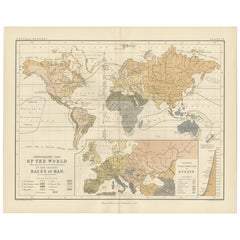
Ethnographic Map of the World by A.K. Johnston – Races of Man Chart 1852

Ethnographic Map of the World by A.K. Johnston – Races of Man Chart 1852

Located in Langweer, NL

Issued as Plate 17 in Johnston’s *Physical Atlas of Natural Phenomena*, this map reflects 19th-century efforts to visualize human diversity across the globe through early ethnographi...

Category

Antique Mid-19th Century Scottish Prints

Materials

Paper

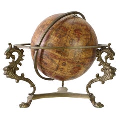
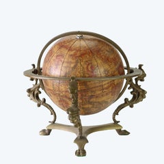
Italian Old World Desk Top Globe With Figural Brass Base 19thC

Italian Old World Desk Top Globe With Figural Brass Base 19thC

Located in Big Flats, NY

An antique Italian desk globe, dating to the 19th century, featuring an 'Old World' style map and presented on a decorative figural brass base.

Category

Antique 19th Century Desk Sets

Materials

Brass

Recent Sales

Map:  Set of 7 Maps:  The World and Continents

Map: Set of 7 Maps: The World and Continents

Unavailable

H 23.5 in W 29.5 in

Map: Set of 7 Maps: The World and Continents

By Victor Levasseur

Located in Florham Park, NJ

VICTOR LEVASSEUR Atlas national Illustre des 86 Departements et des Possessions de La France. Paris, 1847. Lemercier. Laguillermie et Ra uinaud, Schmitt, A Piat, et al...

Category

Antique 19th Century French Maps

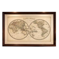
1800s French Map of the World in Two Hemispheres - Le Dictionnaire Géographique

1800s French Map of the World in Two Hemispheres - Le Dictionnaire Géographique

Located in Montréal, CA

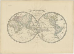
Mappe-Monde. En deux Hemispheres Pour le Dictionnaire Géographique. Author: Vosgien and Caillot Source / Publication: Le Dictionnaire Géographique, ou Description de toutes les Parti...

Category

Antique Early 19th Century French Prints

Materials

Paper

World Map of 19th Century

World Map of 19th Century

Sold

H 17.72 in Dm 11.82 in

World Map of 19th Century

Located in Saint-Ouen, FR

World map signed Maison Delamarche Paris. 19th century.

Category

Antique 19th Century French Maps

Materials

Wood

Antique World Map by Johnston, 1882

Antique World Map by Johnston, 1882

Sold

H 16.74 in W 24.18 in D 0 in

Antique World Map by Johnston, 1882

Located in Langweer, NL

Antique map titled 'The World in Hemispheres'. Old double-hemisphere world map. This map originates from 'The Royal Atlas of Modern Geography, Exhibiting, in a Series of Entirely Ori...

Category

Antique 19th Century Maps

Materials

Paper

Hand Colored Map of the World

Hand Colored Map of the World

Sold

H 30 in W 39 in D 1 in

Hand Colored Map of the World

Located in Norwell, MA

From Italy comes this intricately hand colored map of the world. Comprising of eight engravings that are mounted to linen and framed. Showing the world as of 1788. Measures: 30" tall...

Category

Antique 19th Century Maps

Antique World Map by Lapie, 1842

Antique World Map by Lapie, 1842

Sold

H 19.89 in W 26.78 in D 0.02 in

Antique World Map by Lapie, 1842

Located in Langweer, NL

Antique map titled 'Mappe-Monde en deux Hemispheres'. Map of the world. This map originates from 'Atlas universel de géographie ancienne et moderne (..)' by Pierre M. Lapie and Alexa...

Category

Antique Mid-19th Century Maps

Materials

Paper

Antique World Map 'Mercator Projection' by Lapie, 1842

Antique World Map 'Mercator Projection' by Lapie, 1842

Located in Langweer, NL

Antique map titled 'Mappe-Monde sur la Projection de Mercator'. Map of the world, Mercator projection. This map originates from 'Atlas universel de géographie ancienne et moderne (.....

Category

Antique Mid-19th Century Maps

Materials

Paper

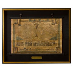
1847 “World at One View” Antique Hand-Colored Wall Map of the World

1847 “World at One View” Antique Hand-Colored Wall Map of the World

Located in Colorado Springs, CO

This is a highly desirable hanging wall map of the "World at One View", published in 1847 by Ensign and Thayer, New York. This pictorial map was printed as a broadside and features...

Category

Antique 19th Century American Maps

Materials

Paper

Antique Map of the World by A. Vuillemin, 1854

Antique Map of the World by A. Vuillemin, 1854

Sold

H 20.48 in W 29.53 in D 0.02 in

Antique Map of the World by A. Vuillemin, 1854

By Victor Levasseur

Located in Langweer, NL

This map originates from ‘Atlas National de la France Illustré’. Published by A. Combette, Paris, 1854.

Category

Antique Mid-19th Century Maps

Antique Map of The World in Hemispheres by W. G. Blackie, 1859

Antique Map of The World in Hemispheres by W. G. Blackie, 1859

Located in Langweer, NL

Antique map titled 'The World in Hemispheres with other projections'. Original antique map of The World. This map originates from ‘The Imperial Atlas of Modern Geography’. Published ...

Category

Antique Mid-19th Century Maps

Materials

Paper

19th Century Russian World Globe Made in Germany by Syrkin GmBH

19th Century Russian World Globe Made in Germany by Syrkin GmBH

Located in Marbella, ES

19th Century Russian world globe with wooden base, made in Germany by A. G. Syrking GmbH.

Category

Antique Mid-19th Century Russian Maps

Materials

Bronze

Antique Zoological Chart of the World, 1854

Antique Zoological Chart of the World, 1854

Sold

H 17.45 in W 11.86 in D 0 in

Antique Zoological Chart of the World, 1854

Located in Langweer, NL

Antique map titled 'Zoological Chart of the World'. Total of six maps and insets. Insets of the distribution of Animals in a vertical direction, Chart of the Distribution of the Prin...

Category

Antique 19th Century Maps

Materials

Paper

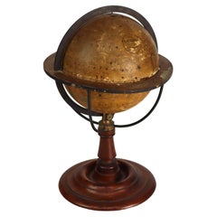
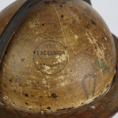
Wachob & Co. “The Excelsior” Terrestrial World Globe On Walnut & Brass Stand

Wachob & Co. “The Excelsior” Terrestrial World Globe On Walnut & Brass Stand

Located in Big Flats, NY

Antique I. S. Wachob & Co. “The Excelsior” Terrestrial World Globe On Walnut & Brass Stand 19thC Measures - 13 3/4" x 8 3/4" x 8 3/4" Founded by Isaac Smith Wachob. Excelsi...

Category

Antique 19th Century Maps

Materials

Paper

Antique World Map, c.1873

Antique World Map, c.1873

Sold

H 10.28 in W 13.35 in D 0 in

Antique World Map, c.1873

Located in Langweer, NL

Antique world map titled 'Wereld-Kaart'. Old map of the world. This map originates from 'School-Atlas van alle Deelen der Aarde'. Artists and Engravers: Published by O. Petri, Ro...

Category

Antique 19th Century Maps

Materials

Paper

Antique World Map by Levasseur, '1875'

Antique World Map by Levasseur, '1875'

Sold

H 18.71 in W 24.02 in D 0.02 in

Antique World Map by Levasseur, '1875'

Located in Langweer, NL

Antique map titled 'Planisphère sur la Projection de Mercator'. Large world map. This map originates from 'Atlas de Géographie Moderne Physique et Politique' by A. Levasseur. Publish...

Category

Antique Late 19th Century Maps

Materials

Paper

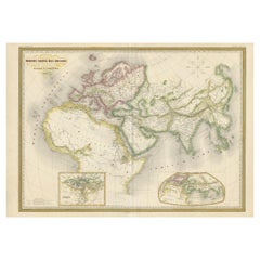
Antique Map of the Ancient World 'c.1860'

Antique Map of the Ancient World 'c.1860'

Sold

H 24.02 in W 33.08 in D 0.02 in

Antique Map of the Ancient World 'c.1860'

Located in Langweer, NL

Antique map titled 'Monde connu des Anciens'. Large, original antique map of the Ancient World, including Asia, Europe and Africa. This map originates from 'Atlas Universel', publish...

Category

Antique Mid-19th Century Maps

Materials

Paper

Antique World Map by A.K. Johnston, 1854

Antique World Map by A.K. Johnston, 1854

Sold

H 20.87 in W 25.6 in D 0.02 in

Antique World Map by A.K. Johnston, 1854

By Alexander Keith Johnston

Located in Langweer, NL

Decorative double hemisphere map of the world, showing the comparative heights of mountains of the World, as well as volcanoes, waterfalls, rivers, etc.

Category

Antique Mid-19th Century Maps

Materials

Paper

Set of 2 Antique World Maps by Lapie, 1842

Set of 2 Antique World Maps by Lapie, 1842

Sold

H 19.89 in W 26.78 in D 0.02 in

Set of 2 Antique World Maps by Lapie, 1842

Located in Langweer, NL

1.Antique World Map by Lapie, 1842 2.Antique World Map 'Mercator Projection' by Lapie, 1842

Category

Antique Mid-19th Century Maps

Materials

Paper

Antique Ethnographic Map of the World by Johnston '1850'

Antique Ethnographic Map of the World by Johnston '1850'

Located in Langweer, NL

Antique map titled 'Ethnographic map of the world showing the present distribution of the leading races of man'. Original antique ethnographic map of the world showing the present di...

Category

Antique Mid-19th Century Maps

Materials

Paper

Antique Hemisphere Map of the World by Levasseur, 1875

Antique Hemisphere Map of the World by Levasseur, 1875

Located in Langweer, NL

Antique map titled 'Mappemonde en deux Hémisphéres'. Large hemisphere world map. This map originates from 'Atlas de Géographie Moderne Physique et Politique' by A. Levasseur. Publish...

Category

Antique Late 19th Century Maps

Materials

Paper

Antique Map of the Ancient World by Lapie, 1842

Antique Map of the Ancient World by Lapie, 1842

Sold

H 19.89 in W 26.78 in D 0.02 in

Antique Map of the Ancient World by Lapie, 1842

Located in Langweer, NL

Antique map titled 'Carte du Monde Connu des Anciens'. Map of the Ancient World. This map originates from 'Atlas universel de géographie ancienne et moderne (..)' by Pierre M. Lapie ...

Category

Antique Mid-19th Century Maps

Materials

Paper

Antique Map of the World by A.K. Johnston, 1865

Antique Map of the World by A.K. Johnston, 1865

Sold

H 19.1 in W 24.41 in D 0.02 in

Antique Map of the World by A.K. Johnston, 1865

Located in Langweer, NL

Antique map titled 'The World in Hemispheres'. This map originates from the ‘Royal Atlas of Modern Geography’ by Alexander Keith Johnston. Published by William Blackwood and Sons, Ed...

Category

Antique Mid-19th Century Maps

Antique Map of The World by A & C. Black, 1870

Antique Map of The World by A & C. Black, 1870

Sold

H 13 in W 17.52 in D 0.02 in

Antique Map of The World by A & C. Black, 1870

Located in Langweer, NL

Antique map titled 'The World'. Original antique map of The World as knows to the ancients. This map originates from ‘Black's General Atlas of The World’. Published by A & C. Black, ...

Category

Antique Late 19th Century Maps

Materials

Paper

Antique World Map on Mercator Projection by Levasseur, circa 1860

Antique World Map on Mercator Projection by Levasseur, circa 1860

Located in Langweer, NL

Antique map titled 'Planisphère sur la Projection de Mercator'. Large map of the world on Mercator projection, showing the six known continents as well as traces of Antarctica. This ...

Category

Antique Mid-19th Century Maps

Materials

Paper

Antique Map of the World by H. Kiepert, circa 1870

Antique Map of the World by H. Kiepert, circa 1870

Sold

H 14.38 in W 18.31 in D 0.02 in

Antique Map of the World by H. Kiepert, circa 1870

By Heinrich Kiepert

Located in Langweer, NL

Antique map titled 'Orbis Terrarum'. This map originates from 'Atlas Antiquus. Zwölf Karten zur Alten Geschichte' by H. Kiepert. Published in Berlin, circa 1870.

Category

Antique Late 19th Century Maps

Materials

Paper

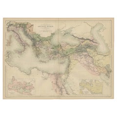
Antique Map of the Ancient World by A & C. Black, 1870

Antique Map of the Ancient World by A & C. Black, 1870

Located in Langweer, NL

Antique map titled 'Map of the Principal Countries of the Ancient World'. Original antique map of the ancient world with inset maps of the Roman Empire and the Persian Empire. This m...

Category

Antique Late 19th Century Maps

Materials

Paper

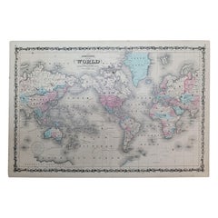
1864 Johnson's Map of the World on Mercator's Projection, Ric.B009

1864 Johnson's Map of the World on Mercator's Projection, Ric.B009

Located in Norton, MA

An 1864 Johnson's map of the World on Mercator's Projection Ric.b009 About this Item "This antique map came from Johnson's New Illustrated (Steel Plate) Family Atlas, publ...

Category

Antique 19th Century Dutch Maps

Materials

Paper

Antique Map of the World on Mercator's Projection by W. G. Blackie, 1859

Antique Map of the World on Mercator's Projection by W. G. Blackie, 1859

Located in Langweer, NL

Antique map titled 'The World on Mercator's Projection'. Original antique map of the World on Mercator's Projection. This map originates from ‘The Imperial Atlas of Modern Geography’...

Category

Antique Mid-19th Century Maps

Materials

Paper

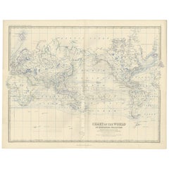
Antique Chart of the World by A.K. Johnston, 1865

Antique Chart of the World by A.K. Johnston, 1865

Sold

H 19.1 in W 24.41 in D 0.02 in

Antique Chart of the World by A.K. Johnston, 1865

Located in Langweer, NL

Antique map titled 'Chart of the World on Mercator's Projection Showing the directions of the Oceans Currents with the Routes and Distances Between Principal Ports'. Detailed map of ...

Category

Antique Mid-19th Century Maps

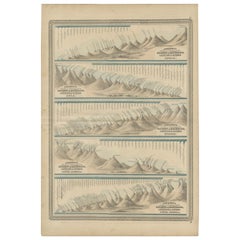
Antique Charts of Mountains and Rivers of the World by Johnson, '1872'

Antique Charts of Mountains and Rivers of the World by Johnson, '1872'

Located in Langweer, NL

Antique map titled 'Johnson's Chart of Comparative Heights of Mountains, and Lengths of Rivers (..)'. Five charts on one sheet showing comparative heights of the mountains and length...

Category

Antique Late 19th Century Maps

Materials

Paper

19th Century Graphic with a Hydrographic World Map

19th Century Graphic with a Hydrographic World Map

Sold

H 23.43 in W 28.94 in D 1.97 in

19th Century Graphic with a Hydrographic World Map

Located in Opole, PL

We present you a colorful antique graphic from the 19th century depicting a hydrographic world map and an allegory of fire, air, water, and earth.

Category

Antique 19th Century European Prints

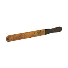
English Victorian Late 19th Century Papier Mâché Page Turner with World Maps

English Victorian Late 19th Century Papier Mâché Page Turner with World Maps

Located in Atlanta, GA

An English late Victorian period papier mâché page turner from the late 19th century, with world maps and Eastern Telegraph Company Limited logo.

Category

Antique Late 19th Century English Late Victorian Letter Openers

Materials

Other

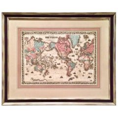
World Map by J.H. Colton 1860 Custom Framed with French Mat

World Map by J.H. Colton 1860 Custom Framed with French Mat

Located in San Francisco, CA

A highly decorative colored engraving depicting the world published by J.H. Colton & Co. in 1860, the map beautifully hand colored and rendered. French matted and custom framed.

Category

Antique Mid-19th Century American Prints

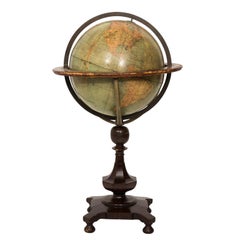
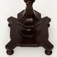
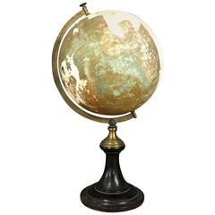
19th Century English Standing Library World Globe

19th Century English Standing Library World Globe

Located in Stamford, CT

19th century English library or study world globe on a stand, consisting of a metal frame and mahogany pedestal base with maker's label. There are some cracks in the base and oxidati...

Category

Antique 19th Century Maps

Materials

Iron

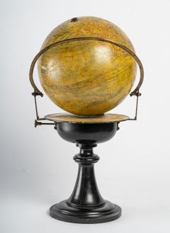
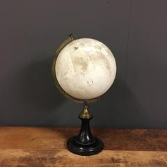
Heavily Distressed World Globe, Napoleon III, France, 19th Century

Heavily Distressed World Globe, Napoleon III, France, 19th Century

Located in Ulft, Gelderland

Heavily distressed antique globe. Gorgeous ebonized wooden base with metal arm. Made in France during the Napoleon III period.

Category

Antique 19th Century French Maps

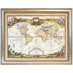
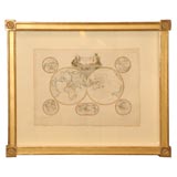
Map of the world
Map of the world

Map of the world

Sold

H 27 in W 33 in

Map of the world

Located in Los Angeles, CA

Beautiful original handcolored map with elegant cartouche. Good condition. Framed: Gold leaf 22 kt, floating, fabric mat.

Category

Antique 19th Century French Decorative Art

Materials

Paper

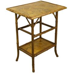
Antique Bamboo Decoupage Side Table with World Maps

Antique Bamboo Decoupage Side Table with World Maps

Located in Port Chester, NY

A small antique English bamboo table, newly decoupage with old French maps of various counties. The bamboo, in a warm honey tone, is in good sturdy condition. Charming and useful as ...

Category

Antique Late 19th Century English End Tables

Materials

Bamboo

Get Updated with New Arrivals
Save "19th Century World Map", and we’ll notify you when there are new listings in this category.

19th Century World Map For Sale on 1stDibs

With a vast inventory of beautiful furniture at 1stDibs, we’ve got just the 19th century world map you’re looking for. Each 19th century world map for sale was constructed with extraordinary care, often using paper, metal and wood. A 19th century world map is a generally popular piece of furniture, but those created in Victorian styles are sought with frequency. You’ll likely find more than one 19th century world map that is appealing in its simplicity, but Victor Levasseur and Heinrich Kiepert produced versions that are worth a look.

Finding the Right Collectibles-curiosities for You

Antique and vintage collectibles and curiosities can bring whimsy and wonder to any interior. 

Decorating with old scientific instruments, historical memorabilia and vintage musical instruments, as well as other authentic collectibles and curiosities that can be found on 1stDibs, presents an opportunity to create a unique, natural history museum-like atmosphere in your home that can provoke conversation as often as it pays tribute to how far we’ve come in understanding our world. 

And bringing collectibles and curiosities into your space is actually on trend — Wunderkammern, or curiosity cabinets, were all the rage in Europe during the 1500s and continued to have adherents there and in the U.S. in the following centuries. Today, however, they’re experiencing a real surge in popularity and influencing how many interior designers are furnishing and decorating homes — combining contemporary with antique, scientific with tribal, earthly with extraterrestrial, Les Lalanne tables with Flemish tapestries.

The original Wunderkammern were entire rooms filled with objects demonstrating their owners’ worldly knowledge: A proper one included artificiala or preciosa (objets d’art); naturalia (such as skeletons, shells, minerals); exotica (taxidermy or dried plants); and scientifica (scientific instruments), frequently alongside religious relics and ancient artifacts.

Pay tribute to a history of rich and diverse musical traditions that have taken shape all over the world by decorating your home with a collection of antique and vintage musical instruments — with a little help from strong hanging wire or some wall hooks, vintage brass instruments such as a gong, French horn or trumpet can help elevate a home office or complement the efforts you’ve made to ensure a welcoming vibe in your home’s entryway. Bells or antique wind instruments can add provocative metallic contrasts to dark woods as tabletop decorative objects.  

Create an intriguing focal point with Georgian scientific instruments, such as stick barometers with mahogany cases or lacquered brass telescopes. These items stem from an era named for the monarchies of the four King Georges, who ruled England in succession starting in 1714 (plus King William’s reign, which lasted until 1837). Just as there was beautiful jewelry produced during the period that today is coveted by collectors, there is much to be found in the collectibles and curiosities realm too.

Wanderlust, nostalgia and a shared love of good design are contributing factors to certain trends in decorating — just as vintage trunks and luggage have reappeared as furniture or home accents in a bedroom or foyer, decorating with globes, maps or nautical objects is similarly rooted in the allure of travel and a penchant for the stylish finishing touch that collectibles bring to our homes.

Find a wide range of antique and vintage collectibles and curiosities on 1stDibs.
Read More