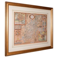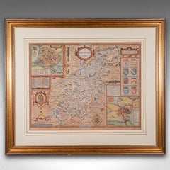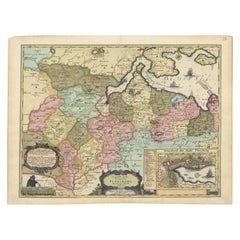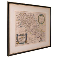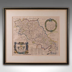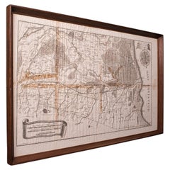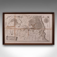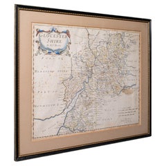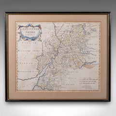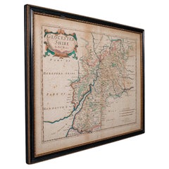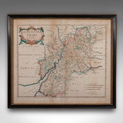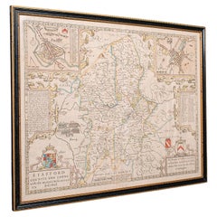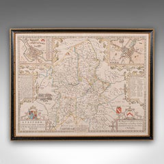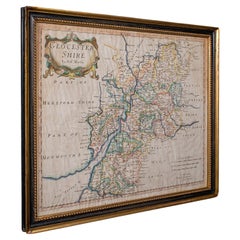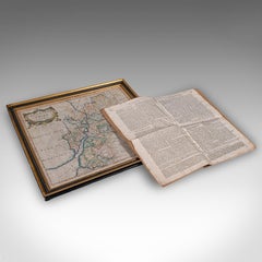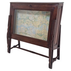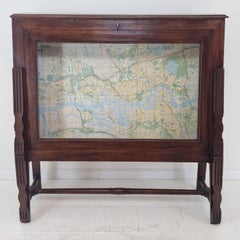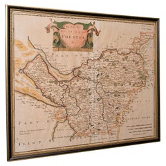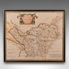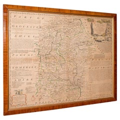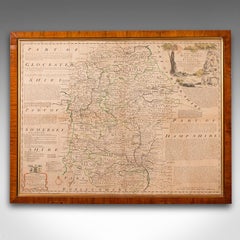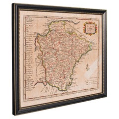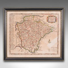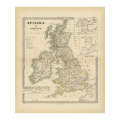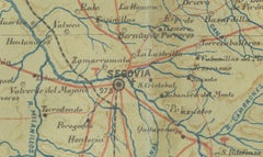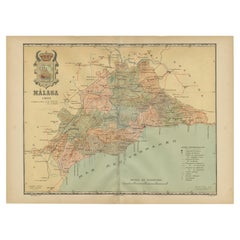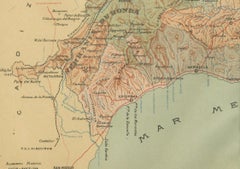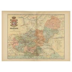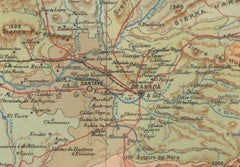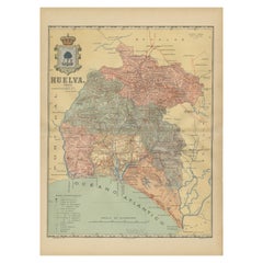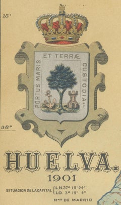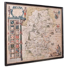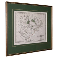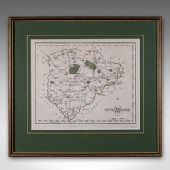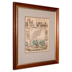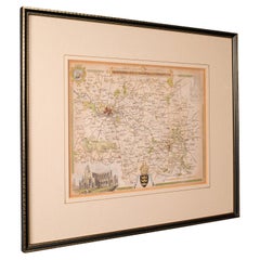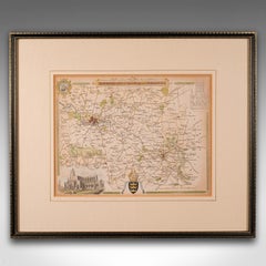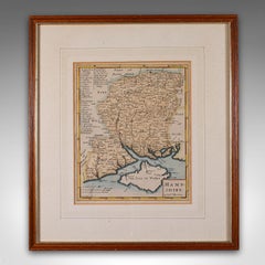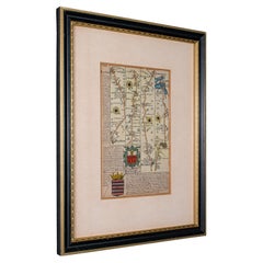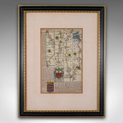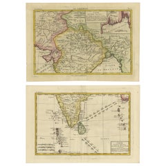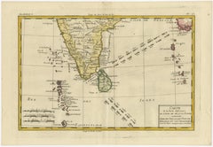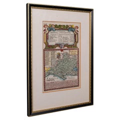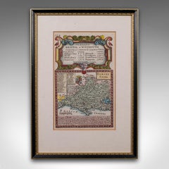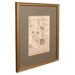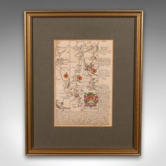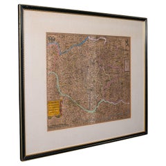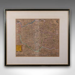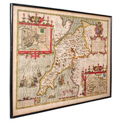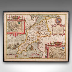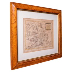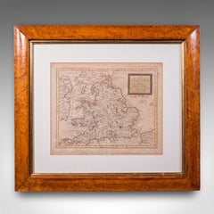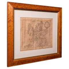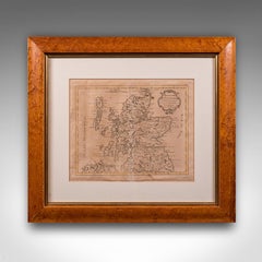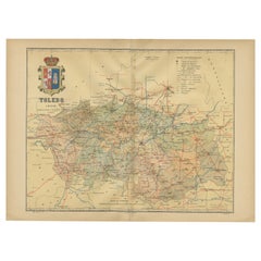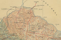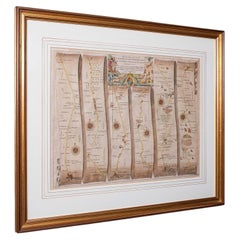
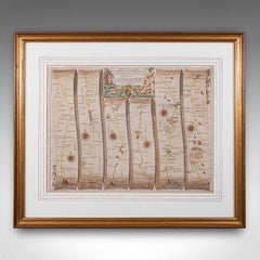
Antique Coaching Map, Salisbury to Campden, English, Framed Cartography, Ogilby
Located in Hele, Devon, GB
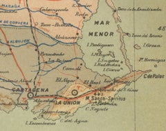
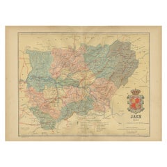
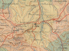
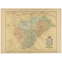
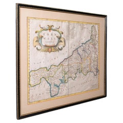
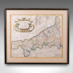
An English, framed cartography lithograph of regional interest, dating to the mid 17th century and later.
Category
1660s British Jacobean Antique Cartography
Materials
Glass, Paper