Antique Curiosities

to
3,309
11,266
3,845
7,494
4,156
3,724
3,724
2,550
2,496
1,759
1,330
991
640
614
588
536
402
382
375
367
288
264
209
186
176
148
138
137
133
128
123
111
94
82
82
71
69
67
62
58
51
51
49
48
40
39
36
29
27
26
21
14
13
116
102
61
20
20
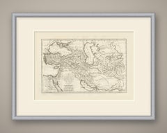
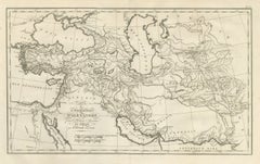
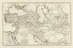
Assyria, Media, Babylonia and Persia, d'Anville Rollin Atlas Map, 1818

Assyria, Media, Babylonia and Persia, d'Anville Rollin Atlas Map, 1818

Located in Langweer, NL

An original copper engraved map, uncolored, of the Near East and Iran from the Aegean and Egypt to the Indus, taking in the Pont Euxin, the Mer Caspienne and the Golfe Persique. Baby...

Category

Early 19th Century French Antique Curiosities

Materials

Paper

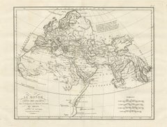
World Known to the Ancients, d'Anville Map for Rollin's Ancient History, 1818

World Known to the Ancients, d'Anville Map for Rollin's Ancient History, 1818

Located in Langweer, NL

An original copper engraved map, uncolored, of the world as the ancients knew it, drawn on a curved graticule. Europe, the northern part of Africa and Asia as far as the Pays des Sin...

Category

Early 19th Century French Antique Curiosities

Materials

Paper

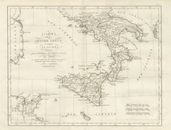
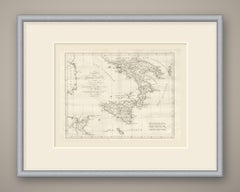
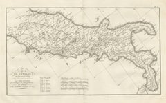
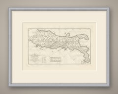
Magna Graecia and Sicily, Greek Colonies Map after d'Anville, 1818

Magna Graecia and Sicily, Greek Colonies Map after d'Anville, 1818

Located in Langweer, NL

An original copper engraved map, uncolored, of southern Italy and Sicily, with the east coast of Sardaigne and the tip of Corse at left and the African coast around Carthage at lower...

Category

Early 19th Century French Antique Curiosities

Materials

Paper

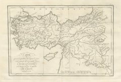
March of Cyrus and Retreat of the Ten Thousand after Xenophon, 1818

March of Cyrus and Retreat of the Ten Thousand after Xenophon, 1818

Located in Langweer, NL

An original copper engraved map, uncolored, of Asia Minor, Syria and Mesopotamia, with the route of the expedition drawn as a fine double line. The outward march runs from Sardes thr...

Category

Early 19th Century French Antique Curiosities

Materials

Paper

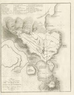
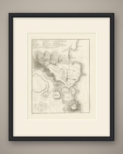
Plan of Ancient and Modern Syracuse with Numbered Key, Rollin Atlas, 1818

Plan of Ancient and Modern Syracuse with Numbered Key, Rollin Atlas, 1818

Located in Langweer, NL

An original copper engraved plan, uncolored, of Syracuse ancient and modern, with the hills drawn in fine hachure. The quarters are lettered Fauxbourg d'Achradine, Fauxbourg de Tycha...

Category

Early 19th Century French Antique Curiosities

Materials

Paper

Hannibal's Expedition into Italy with His Marches Traced, d'Anville, 1818

Hannibal's Expedition into Italy with His Marches Traced, d'Anville, 1818

Located in Langweer, NL

An original copper engraved map, uncolored, of the theater of Hannibal's march, from Espagne and the Isles Baleares across southern Gaule and the Alps to the whole Italian peninsula,...

Category

Early 19th Century French Antique Curiosities

Materials

Paper

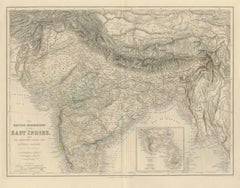
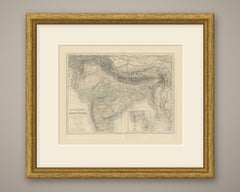
Antique Map of British India with Ceylon Continuation Inset, circa 1860

Antique Map of British India with Ceylon Continuation Inset, circa 1860

Located in Langweer, NL

This is an original antique engraved map, colored by hand, from Fullarton's Companion Atlas to the Gazetteer of the World. The title at the lower left reads "THE BRITISH POSSESSIONS ...

Category

Mid-19th Century British Antique Curiosities

Materials

Paper

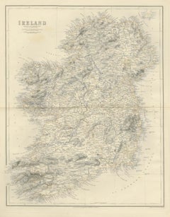
Antique Map of Ireland According to the Government Survey, circa 1860

Antique Map of Ireland According to the Government Survey, circa 1860

Located in Langweer, NL

This is an original antique engraved map, colored by hand, from Fullarton's Companion Atlas to the Gazetteer of the World. The title in the upper left reads "IRELAND", with the line ...

Category

Mid-19th Century British Antique Curiosities

Materials

Paper

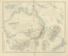
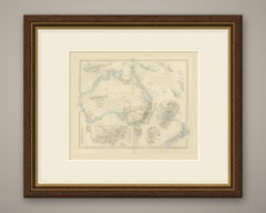
Antique Map of Australia and New Zealand with Mount Alexander Inset, circa 1860

Antique Map of Australia and New Zealand with Mount Alexander Inset, circa 1860

Located in Langweer, NL

This is an original antique engraved map, colored by hand, from Fullarton's Companion Atlas to the Gazetteer of the World. The title reads "AUSTRALIA AND NEW ZEALAND", with the line ...

Category

Mid-19th Century British Antique Curiosities

Materials

Paper

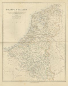
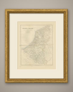
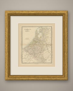
Antique Map of Holland and Belgium with Foreign Possessions Table, circa 1860

Antique Map of Holland and Belgium with Foreign Possessions Table, circa 1860

Located in Langweer, NL

This is an original antique engraved map, colored by hand, from Fullarton's Companion Atlas to the Gazetteer of the World. The title in the upper left reads "HOLLAND & BELGIUM". ...

Category

Mid-19th Century British Antique Curiosities

Materials

Paper

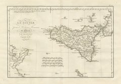
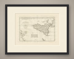
Ancient Sicily with Malta and the Carthage Coast, d'Anville, 1818

Ancient Sicily with Malta and the Carthage Coast, d'Anville, 1818

Located in Langweer, NL

An original copper engraved map, uncolored, of ancient Sicily, with the toe of Italy at upper right, the African coast around Carthage at lower left and the Maltese islands at the fo...

Category

Early 19th Century French Antique Curiosities

Materials

Paper

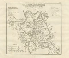
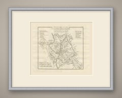
Plan of Ancient Rome with the Fourteen Augustan Regions, d'Anville, 1818

Plan of Ancient Rome with the Fourteen Augustan Regions, d'Anville, 1818

Located in Langweer, NL

An original copper engraved town plan, uncolored, of ancient Rome. The Tiber crosses the plan from north to south, with the Vatican and Janiculum on the west bank and the Insula Tibe...

Category

Early 19th Century French Antique Curiosities

Materials

Paper

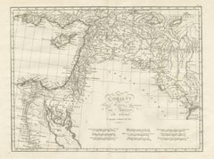
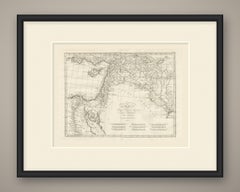
The Ancient Near East from Egypt to Babylon, d'Anville L'Orient, 1818

The Ancient Near East from Egypt to Babylon, d'Anville L'Orient, 1818

Located in Langweer, NL

An original copper engraved map, uncolored, of the ancient East from Egypt to Mesopotamia. It covers the Nile from the delta south to Thebae, Sinai and Arabia Petraea, Phoenicia, Jud...

Category

Early 19th Century French Antique Curiosities

Materials

Paper

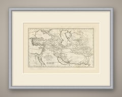
Alexander the Great's Expedition to the Indus, d'Anville Map, 1818

Alexander the Great's Expedition to the Indus, d'Anville Map, 1818

Located in Langweer, NL

An original copper engraved map, uncolored, of the lands crossed by Alexander the Great. It reaches from Egypt, the eastern Mediterranean and the Aegean islands of Lesbos, Chios and ...

Category

Early 19th Century French Antique Curiosities

Materials

Paper

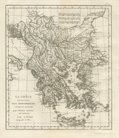
Ancient Greece and the Balkans to the Danube, d'Anville Rollin Atlas, 1818

Ancient Greece and the Balkans to the Danube, d'Anville Rollin Atlas, 1818

Located in Langweer, NL

An original copper engraved map, uncolored, of ancient Greece and the lands north of it as far as the Danube. The map runs from the heel of Italy and the Adriatic coast on the west t...

Category

Early 19th Century French Antique Curiosities

Materials

Paper

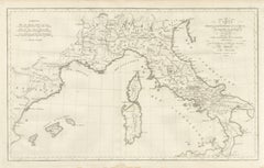
Roman Roads of Ancient Italy, d'Anville Voies Romaines Map, 1818

Roman Roads of Ancient Italy, d'Anville Voies Romaines Map, 1818

Located in Langweer, NL

An original copper engraved map, uncolored, of ancient Italy drawn to show the Roman roads. The peninsula is turned to lie along the length of the sheet, and the graticule runs obliq...

Category

Early 19th Century French Antique Curiosities

Materials

Paper

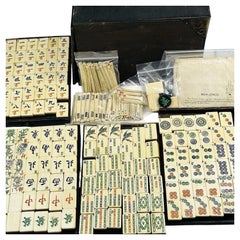
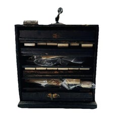
Manhattan Bone and Bamboo Mahjong Set in Fitted Wooden Casket

Manhattan Bone and Bamboo Mahjong Set in Fitted Wooden Casket

Located in Nottingham, GB

Each playing piece is constructed with a hand-carved bovine bone face dovetailed onto an organic bamboo backing. The complete 144-piece inventory encompasses the full complement of c...

Category

Early 20th Century Antique Curiosities

Materials

Brass

Antique Map of Spain and Portugal by Philip Smith, Balearic Islands, 1858

Antique Map of Spain and Portugal by Philip Smith, Balearic Islands, 1858

Located in Langweer, NL

This is an original antique map of the Iberian Peninsula, a steel engraving colored by hand, titled "SPAIN AND PORTUGAL". It shows the Spanish provinces, among them Galicia, Asturias...

Category

Mid-19th Century British Antique Curiosities

Materials

Paper

Antique Map of Russia in Europe with the 1856 Treaty of Paris Boundary, 1858

Antique Map of Russia in Europe with the 1856 Treaty of Paris Boundary, 1858

Located in Langweer, NL

This is an original antique map of European Russia, a steel engraving colored by hand, titled "RUSSIA IN EUROPE GENERAL MAP". It covers the empire from Lapland and the White Sea to t...

Category

Mid-19th Century British Antique Curiosities

Materials

Paper

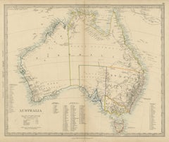
Antique Map of Australia with the 1855 Population Table and County Lists, 1858

Antique Map of Australia with the 1855 Population Table and County Lists, 1858

Located in Langweer, NL

Original antique map of Australia, a steel engraving colored by hand, with the lettered title "AUSTRALIA". The map shows the whole continent with Tasmania, Torres Strait and the sout...

Category

Mid-19th Century British Antique Curiosities

Materials

Paper

Antique Map of China with the Route of Lord Macartney and Lord Amherst, 1858

Antique Map of China with the Route of Lord Macartney and Lord Amherst, 1858

Located in Langweer, NL

An original antique map of China, a steel engraving colored by hand in outline, with each province bounded in its own color and a pale blue wash along the coasts and lakes. The title...

Category

Mid-19th Century British Antique Curiosities

Materials

Paper

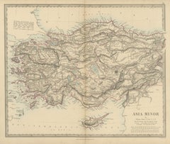
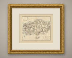
Antique Map of Asia Minor and Cyprus by William Henry F. Plate, 1858

Antique Map of Asia Minor and Cyprus by William Henry F. Plate, 1858

Located in Langweer, NL

An original antique map of Asia Minor, a steel engraving colored by hand, with red outline color for the provincial boundaries and a pale blue wash along the coasts and lakes. The ti...

Category

Mid-19th Century British Antique Curiosities

Materials

Paper

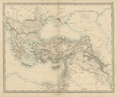
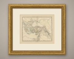
Antique Map of the Turkish Empire and Greece, Treaty of Paris Boundary, 1858

Antique Map of the Turkish Empire and Greece, Treaty of Paris Boundary, 1858

Located in Langweer, NL

An original antique map of the Ottoman Empire, a steel engraving colored by hand in outline, with a pale blue wash along the coasts. The title reads "The Turkish Empire in Europe and...

Category

Mid-19th Century British Antique Curiosities

Materials

Paper

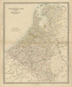
Antique Map of the Netherlands and Belgium, Zuider Zee and Railways, 1858

Antique Map of the Netherlands and Belgium, Zuider Zee and Railways, 1858

Located in Langweer, NL

Original antique map of the Netherlands and Belgium, a steel engraving colored by hand in outline, with a pale blue wash along the coasts and around the Zuider Zee, lettered "THE NET...

Category

Mid-19th Century British Antique Curiosities

Materials

Paper

Antique Map of India with Railways Sanctioned by the East India Company, 1858

Antique Map of India with Railways Sanctioned by the East India Company, 1858

Located in Langweer, NL

An original antique map of India, a steel engraving colored by hand, in outline keyed to a table of colors, with railway lines picked out in color and a pale blue coastal wash. The t...

Category

Mid-19th Century British Antique Curiosities

Materials

Paper

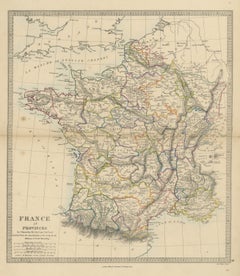
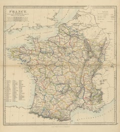
Antique Map of France in Provinces by T. Hewett Key, 1858

Antique Map of France in Provinces by T. Hewett Key, 1858

Located in Langweer, NL

This is an original antique map of France, a steel engraving colored by hand, titled "FRANCE IN PROVINCES". It shows the country divided into its historic provinces rather than depar...

Category

Mid-19th Century British Antique Curiosities

Materials

Paper

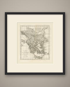
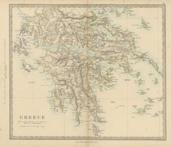
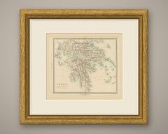
Antique Map of Greece with the Morea, Negropont and Kephalonia, 1858

Antique Map of Greece with the Morea, Negropont and Kephalonia, 1858

Located in Langweer, NL

An original antique map of Greece, a steel engraving colored by hand in outline, with a pale blue wash along the coasts. The title reads simply "Greece". The map covers the kingdom f...

Category

Mid-19th Century British Antique Curiosities

Materials

Paper

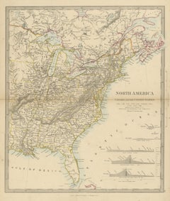
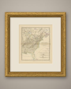
Antique Map of Canada and the United States with Canal Profiles, 1858

Antique Map of Canada and the United States with Canal Profiles, 1858

Located in Langweer, NL

Original antique map of eastern North America, a steel engraving colored by hand, with the lettered title "NORTH AMERICA" and the subtitle "CANADA AND THE UNITED STATES". The map cov...

Category

Mid-19th Century British Antique Curiosities

Materials

Paper

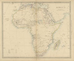
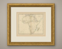
Antique Map of Africa with the Unexplored Interior and a Population Table, 1858

Antique Map of Africa with the Unexplored Interior and a Population Table, 1858

Located in Langweer, NL

An original antique map of Africa, a steel engraving colored by hand in outline, with a pale blue wash along the coasts. The title reads "Africa". The map shows the whole continent w...

Category

Mid-19th Century British Antique Curiosities

Materials

Paper

Antique Map of Asia with a Population Table of the Asiatic States, 1858

Antique Map of Asia with a Population Table of the Asiatic States, 1858

Located in Langweer, NL

An original antique map of Asia, a steel engraving colored by hand in outline, with a pale blue wash along the coasts and on the larger lakes. The title reads "Asia". The map spans t...

Category

Mid-19th Century British Antique Curiosities

Materials

Paper

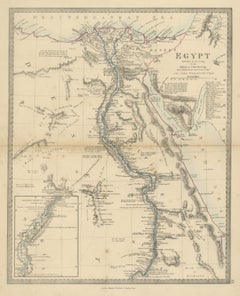
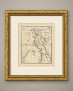
Antique Map of Egypt by G. Long with Nubia and the Nile Cataracts, 1858

Antique Map of Egypt by G. Long with Nubia and the Nile Cataracts, 1858

Located in Langweer, NL

Original antique map of Egypt, a steel engraving colored by hand, with the lettered title "EGYPT". The map follows the Nile from the Delta and the Mediterranean coast between Alexand...

Category

Mid-19th Century British Antique Curiosities

Materials

Paper

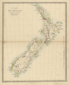
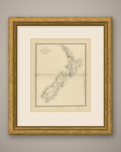
Antique Map of the Islands of New Zealand with Provinces and Settlements, 1858

Antique Map of the Islands of New Zealand with Provinces and Settlements, 1858

Located in Langweer, NL

Original antique map of New Zealand, a steel engraving colored by hand, with the lettered title "THE ISLANDS OF NEW ZEALAND". The map shows the North Island, the South Island and Sou...

Category

Mid-19th Century British Antique Curiosities

Materials

Paper

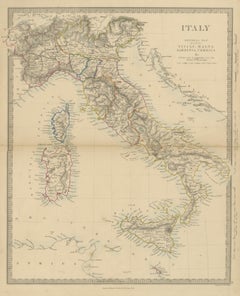
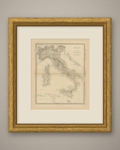
Antique Map of Italy Before Unification with Sicily, Malta and Corsica, 1858

Antique Map of Italy Before Unification with Sicily, Malta and Corsica, 1858

Located in Langweer, NL

This is an original antique map of Italy, a steel engraving colored by hand, titled "ITALY GENERAL MAP INCLUDING SICILY, MALTA SARDINIA, CORSICA &c." It covers the peninsula from...

Category

Mid-19th Century British Antique Curiosities

Materials

Paper

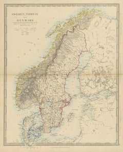
Antique Map of Sweden, Norway and Denmark with the Malström, 1858

Antique Map of Sweden, Norway and Denmark with the Malström, 1858

Located in Langweer, NL

This is an original antique map of Scandinavia, a steel engraving colored by hand, titled "SWEDEN, NORWAY AND DENMARK INCLUDING THE BALTIC SEA & RUSSIAN PROVINCES ADJACENT". It c...

Category

Mid-19th Century British Antique Curiosities

Materials

Paper

Antique Map of South America with the Falklands and South Georgia, 1858

Antique Map of South America with the Falklands and South Georgia, 1858

Located in Langweer, NL

Original antique map of South America, a steel engraving colored by hand, with the lettered title "SOUTH AMERICA". The map shows the whole continent from Panama and the Caribbean coa...

Category

Mid-19th Century British Antique Curiosities

Materials

Paper

Antique Map of France in Departments with Numbered Key and Railways, 1858

Antique Map of France in Departments with Numbered Key and Railways, 1858

Located in Langweer, NL

This is an original antique map of France, a steel engraving colored by hand, titled "FRANCE IN DEPARTMENTS". The departments are outlined in color, with a pale blue wash along the c...

Category

Mid-19th Century British Antique Curiosities

Materials

Paper

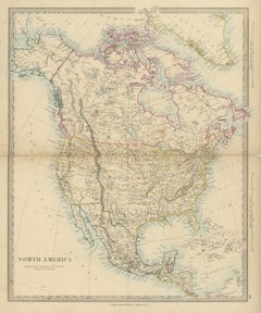
Antique Map of North America with Russian America and West Georgia, 1858

Antique Map of North America with Russian America and West Georgia, 1858

Located in Langweer, NL

Original antique map of the North American continent, a steel engraving colored by hand, with the lettered title "NORTH AMERICA". The map runs from the Arctic Ocean, Greenland and th...

Category

Mid-19th Century British Antique Curiosities

Materials

Paper

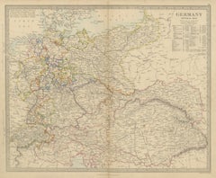
Antique Map of Germany and the Austrian Empire with Population Table, 1858

Antique Map of Germany and the Austrian Empire with Population Table, 1858

Located in Langweer, NL

This is an original antique map of Germany and Central Europe, a steel engraving colored by hand, titled "GERMANY GENERAL MAP". It covers the German states from the North Sea and the...

Category

Mid-19th Century British Antique Curiosities

Materials

Paper

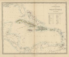
Antique Map of the Antilles or West India Islands with Island Areas, 1858

Antique Map of the Antilles or West India Islands with Island Areas, 1858

Located in Langweer, NL

Original antique map of the Caribbean, a steel engraving colored by hand, with the lettered title "THE ANTILLES OR WEST-INDIA ISLANDS". The map extends from Florida and the Gulf of M...

Category

Mid-19th Century British Antique Curiosities

Materials

Paper

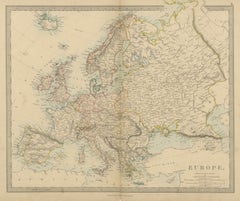
Antique Map of Europe with the Separate Italian and German States, 1858

Antique Map of Europe with the Separate Italian and German States, 1858

Located in Langweer, NL

Original antique map of Europe, a steel engraving colored by hand in outline, with a pale blue wash along the coasts, lettered "EUROPE," in the title at the lower right. The map runs...

Category

Mid-19th Century British Antique Curiosities

Materials

Paper

Antique Map of England and Wales with Railways and Canals, 1858

Antique Map of England and Wales with Railways and Canals, 1858

Located in Langweer, NL

Original antique map of England and Wales, a steel engraving colored by hand, with the counties outlined in color and a pale blue wash along the coasts, lettered "ENGLAND AND WALES."...

Category

Mid-19th Century British Antique Curiosities

Materials

Paper

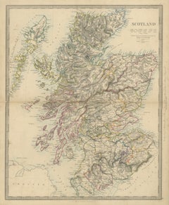
Antique Map of Scotland with 1841 and 1851 Population Figures, 1858

Antique Map of Scotland with 1841 and 1851 Population Figures, 1858

Located in Langweer, NL

Original antique map of Scotland, a steel engraving colored by hand in outline, with the counties bordered in color and a pale blue wash along the coasts, lettered "SCOTLAND" in the ...

Category

Mid-19th Century British Antique Curiosities

Materials

Paper

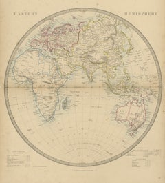
Antique Map of the Eastern Hemisphere with Population and Religions Tables, 1858

Antique Map of the Eastern Hemisphere with Population and Religions Tables, 1858

Located in Langweer, NL

Original antique map of the Eastern Hemisphere, a steel engraving colored by hand in outline, with a pale blue wash along the coasts, lettered "EASTERN HEMISPHERE" across the top of ...

Category

Mid-19th Century British Antique Curiosities

Materials

Paper

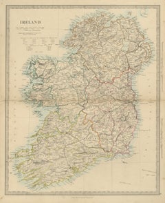
Antique Map of Ireland with Census Tables for 1831, 1841 and 1851, 1858

Antique Map of Ireland with Census Tables for 1831, 1841 and 1851, 1858

Located in Langweer, NL

Original antique map of Ireland, a steel engraving colored by hand in outline, with a pale blue wash along the coasts, lettered "IRELAND" in the title at the upper left. The whole is...

Category

Mid-19th Century British Antique Curiosities

Materials

Paper

Antique Map of the Western Hemisphere with Highest Mountains Table, 1858

Antique Map of the Western Hemisphere with Highest Mountains Table, 1858

Located in Langweer, NL

Original antique map of the Western Hemisphere, a steel engraving colored by hand in outline, lettered "WESTERN HEMISPHERE" across the top of the sheet. The circular map shows North ...

Category

Mid-19th Century British Antique Curiosities

Materials

Paper

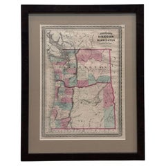
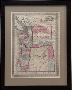
1870 "Johnson's Oregon and Washington" Map, Published by A. J. Johnson

1870 "Johnson's Oregon and Washington" Map, Published by A. J. Johnson

Located in Colorado Springs, CO

Presented is an original 1870 "Johnson's Oregon and Washington" map. First published in 1865, this map was issued as page 78 in the 1870 edition of “Johnson's New Illustrated (Steel ...

Category

1870s American American Empire Antique Curiosities

Materials

Paper

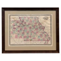
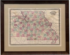
1870 "Johnson's Missouri and Kansas" Map, Published by A. J. Johnson

1870 "Johnson's Missouri and Kansas" Map, Published by A. J. Johnson

Located in Colorado Springs, CO

Presented is an original 1870 "Johnson's Missouri and Kansas" map. First published in 1865, this map was issued as pages 70 and 71 in the 1870 edition of “Johnson's New Illustrated (...

Category

1870s American American Empire Antique Curiosities

Materials

Paper

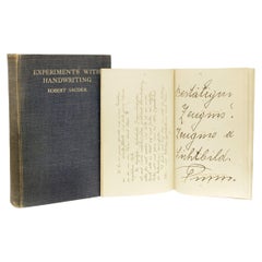
SAUDEK, Robert. Experiments With Handwriting. (1928 - FIRST LONDON EDITION)

SAUDEK, Robert. Experiments With Handwriting. (1928 - FIRST LONDON EDITION)

Located in Hillsborough, NJ

AUTHOR: SAUDEK, Robert. TITLE: Experiments With Handwriting. PUBLISHER: London: George Allen & Unwin Ltd. 1928. DESCRIPTION: FIRST LONDON EDITION. 1 vol., 9-5/8" x 6-3/4", bound i...

Category

1920s American Antique Curiosities

Materials

Paper, Fabric

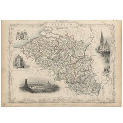
Antique Map of Belgium by J. Tallis, circa 1851

Antique Map of Belgium by J. Tallis, circa 1851

Located in Langweer, NL

A highly decorative and detailed mid-19th century map of Belgium which was drawn and engraved by J. Rapkin (vignettes by J. Marchant and J. B. Allen) and published in John Tallis's I...

Category

Mid-19th Century British Antique Curiosities

Materials

Paper

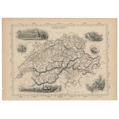
Antique Map of Switzerland by J. Tallis, circa 1851

Antique Map of Switzerland by J. Tallis, circa 1851

Located in Langweer, NL

A decorative and detailed mid-19th century map of Switzerland which was drawn and engraved by J. Rapkin (vignettes by A. H. Wray & J. B. Allen) and published in John Tallis's Ill...

Category

Mid-19th Century British Antique Curiosities

Materials

Paper

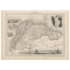
Antique Map of the Northern Part of South America by J. Tallis, circa 1851

Antique Map of the Northern Part of South America by J. Tallis, circa 1851

Located in Langweer, NL

A decorative and detailed mid-19th century map of the northern part of South America (including modern day Venezuela, Colombia, Ecuador, Guyana, Suriname and French Guiana) which was...

Category

Mid-19th Century English Antique Curiosities

Materials

Paper

Antique Map of Denmark by F. de Wit, 1680

Antique Map of Denmark by F. de Wit, 1680

Located in Langweer, NL

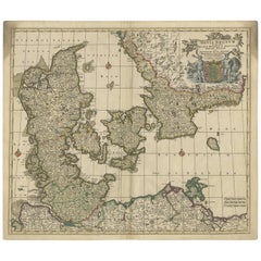
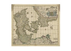
Antique map titled 'Dania Regnum'. Large, attractive map of Denmark, Sleschwig-Holstein and southern Sweden. Good detail throughout. Embellished with a title cartouche with the Danis...

Category

Late 17th Century Antique Curiosities

Materials

Paper

Antique Map of France in Ancient Roman Times by d'Anville, c.1795

Antique Map of France in Ancient Roman Times by d'Anville, c.1795

Located in Langweer, NL

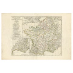
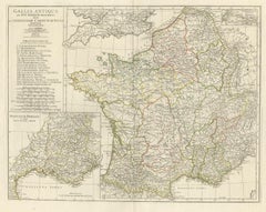
Antique map titled 'Gallia Antiqua ex Aevi Romani Monumentis (..)'. Original, large, map of France in ancient Roman times. Bottom left, a large inset shows Gallia's southern most Rom...

Category

Late 18th Century French Antique Curiosities

Materials

Paper

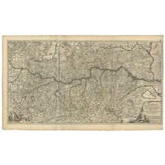
Antique Map of Austria by N. Visscher, circa 1690

Antique Map of Austria by N. Visscher, circa 1690

Located in Langweer, NL

Antique map titled 'Austriae Archiducatus pars superior in omnes ejusdem'. Spectacular large map of Upper and Lower Austria between Passau and Wien with figurative cartouche and armo...

Category

Late 17th Century Antique Curiosities

Materials

Paper

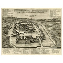
Original Antique Engraving of the Mighty Imperial Osaka Castle in Japan, 1669

Original Antique Engraving of the Mighty Imperial Osaka Castle in Japan, 1669

Located in Langweer, NL

Antique print, titled: 'Afbeeldinge vant Maghtich Keyserlyck Casteel Osacca geleegen int groot Ryck Jappan besuyden de Stadt Osacce inde provinsie Qioo.' - ('Image of the Mighty Impe...

Category

1660s Antique Curiosities

Materials

Paper

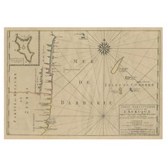
Map of the Mozambique and Tanzania Coast & Inset Map of Anjouan Island, ca.1700

Map of the Mozambique and Tanzania Coast & Inset Map of Anjouan Island, ca.1700

Located in Langweer, NL

Antique map titled 'Carte particuliere des Costes de l'Afrique'. Depicts the coasts of Mozambique and Tanzania. With an inset map of Anjouan Island. Artists and engravers: Pub...

Category

Early 1700s Antique Curiosities

Materials

Paper

Rare Engraving of Dutch and Danish Forts on the West African Gold Coast, 1744

Rare Engraving of Dutch and Danish Forts on the West African Gold Coast, 1744

Located in Langweer, NL

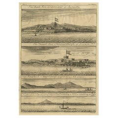
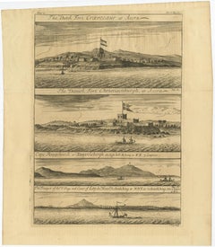
Antique print, titled: 'The Dutch Fort Croevecoeur (…).' A four panel plate showing forts on the West African Gold Coast, Ghana; a) The Dutch Fort Croevecoeur at Accra, b) The Da...

Category

1740s Antique Curiosities

Materials

Paper

Neatly Framed Decorative Hand-Colored View of Zierikzee, the Netherlands, 1858

Neatly Framed Decorative Hand-Colored View of Zierikzee, the Netherlands, 1858

Located in Langweer, NL

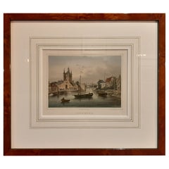
Antique print titled 'Zierikzee'. View of the city of Zierikzee, the Netherlands. This print originates from 'Het koningrijk der Nederlanden voorgesteld in eene reeks van 136 naa...

Category

1850s Antique Curiosities

Materials

Paper

Large Title Cartouche and a View of Wilhermsdorf, Beieren, Germany, 1744

Large Title Cartouche and a View of Wilhermsdorf, Beieren, Germany, 1744

Located in Langweer, NL

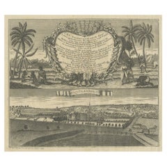
Antique print titled 'Sauber und nach dem Leben gezeichnete Prospecten und Plans, von den wichtigsten der Holländisch-Ost-Indischen-Compagnie in Africa u: Asia (..)'. Frontispiece of...

Category

1740s Antique Curiosities

Materials

Paper

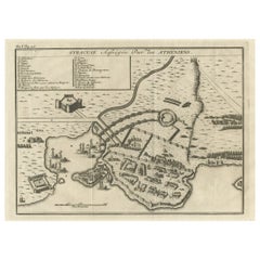
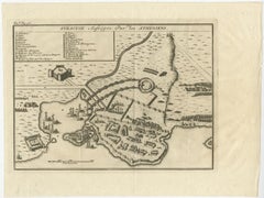
Old Copper Engraving of the Siege of Syracuse, Sicily, Italy, Published, ca.1740

Old Copper Engraving of the Siege of Syracuse, Sicily, Italy, Published, ca.1740

Located in Langweer, NL

Antique print titled 'Syracuse, Assiégée par les Atheniens'. Old print of the siege of Syracuse, Sicily, Italy. Source unknown, to be determined. The siege of Syracuse by the...

Category

1740s Antique Curiosities

Materials

Paper

  • 1
  • ...
Get Updated with New Arrivals
Save "Antique Curiosities", and we’ll notify you when there are new listings in this category.

Antique Curiosities For Sale on 1stDibs

Find a variety of antique curiosities available on 1stDibs. Each of these unique antique curiosities was constructed with extraordinary care, often using metal, wood and paper. Antique curiosities have long been popular, with older editions for sale from the 18th Century and newer versions made as recently as the 20th Century. Victorian, Industrial and Art Deco antique curiosities are consistently popular styles. Many antique curiosities are appealing in their simplicity, but Victor Levasseur, Johannes Janssonius and Rand McNally & Co. produced popular antique curiosities that are worth a look.

Finding the Right Collectibles-curiosities for You

Antique and vintage collectibles and curiosities can bring whimsy and wonder to any interior. 

Decorating with old scientific instruments, historical memorabilia and vintage musical instruments, as well as other authentic collectibles and curiosities that can be found on 1stDibs, presents an opportunity to create a unique, natural history museum-like atmosphere in your home that can provoke conversation as often as it pays tribute to how far we’ve come in understanding our world. 

And bringing collectibles and curiosities into your space is actually on trend — Wunderkammern, or curiosity cabinets, were all the rage in Europe during the 1500s and continued to have adherents there and in the U.S. in the following centuries. Today, however, they’re experiencing a real surge in popularity and influencing how many interior designers are furnishing and decorating homes — combining contemporary with antique, scientific with tribal, earthly with extraterrestrial, Les Lalanne tables with Flemish tapestries.

The original Wunderkammern were entire rooms filled with objects demonstrating their owners’ worldly knowledge: A proper one included artificiala or preciosa (objets d’art); naturalia (such as skeletons, shells, minerals); exotica (taxidermy or dried plants); and scientifica (scientific instruments), frequently alongside religious relics and ancient artifacts.

Pay tribute to a history of rich and diverse musical traditions that have taken shape all over the world by decorating your home with a collection of antique and vintage musical instruments — with a little help from strong hanging wire or some wall hooks, vintage brass instruments such as a gong, French horn or trumpet can help elevate a home office or complement the efforts you’ve made to ensure a welcoming vibe in your home’s entryway. Bells or antique wind instruments can add provocative metallic contrasts to dark woods as tabletop decorative objects.  

Create an intriguing focal point with Georgian scientific instruments, such as stick barometers with mahogany cases or lacquered brass telescopes. These items stem from an era named for the monarchies of the four King Georges, who ruled England in succession starting in 1714 (plus King William’s reign, which lasted until 1837). Just as there was beautiful jewelry produced during the period that today is coveted by collectors, there is much to be found in the collectibles and curiosities realm too.

Wanderlust, nostalgia and a shared love of good design are contributing factors to certain trends in decorating — just as vintage trunks and luggage have reappeared as furniture or home accents in a bedroom or foyer, decorating with globes, maps or nautical objects is similarly rooted in the allure of travel and a penchant for the stylish finishing touch that collectibles bring to our homes.

Find a wide range of antique and vintage collectibles and curiosities on 1stDibs.
Read More