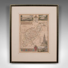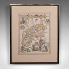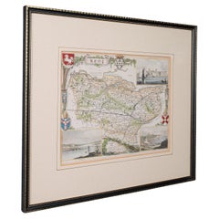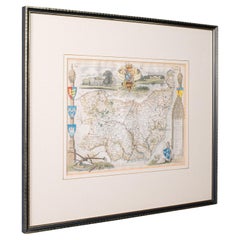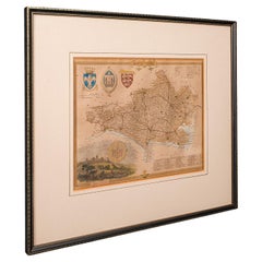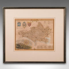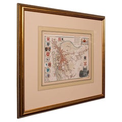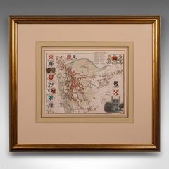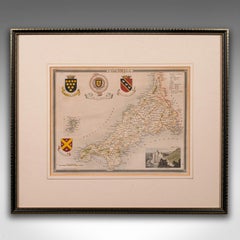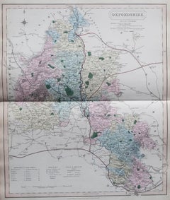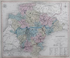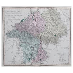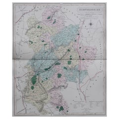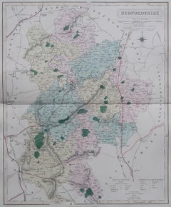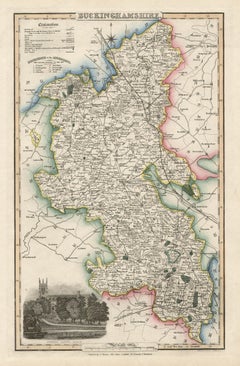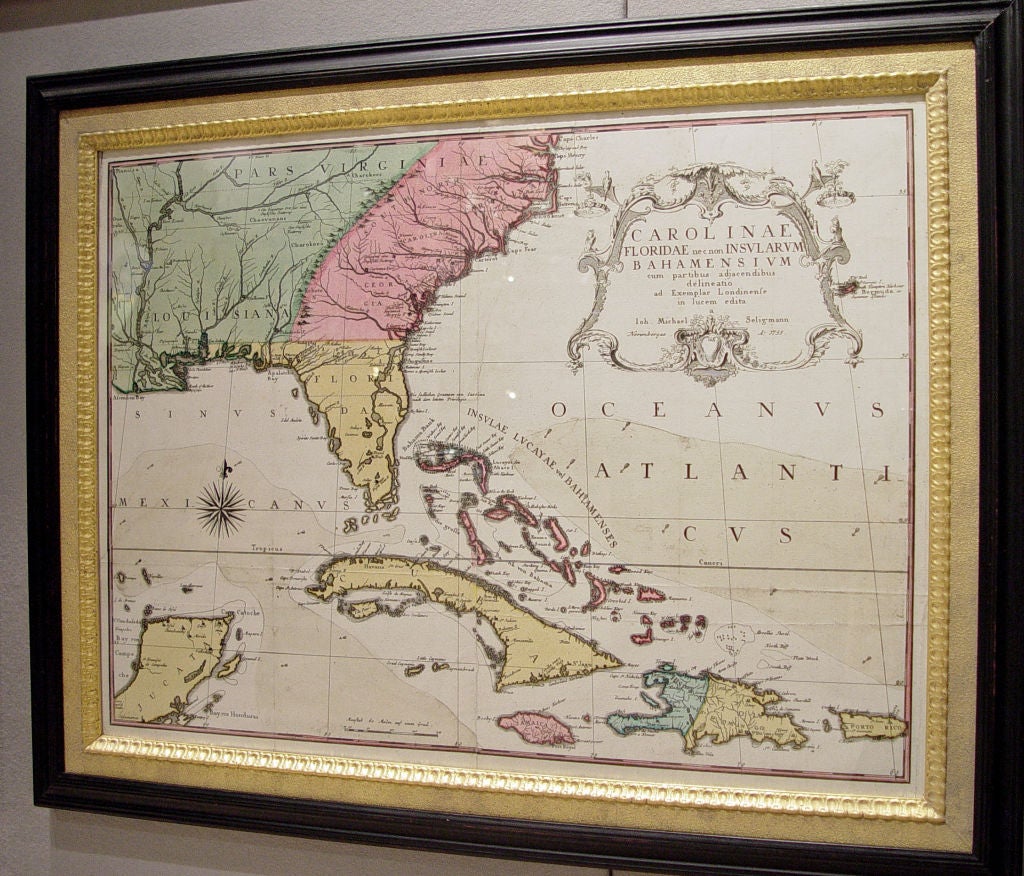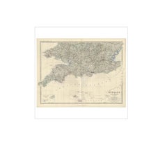
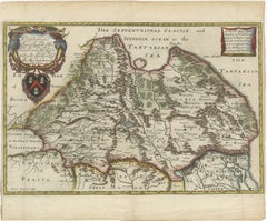
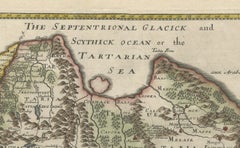
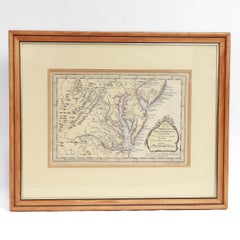
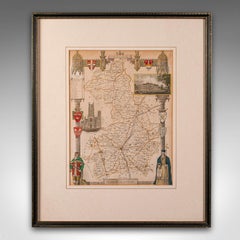
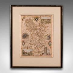
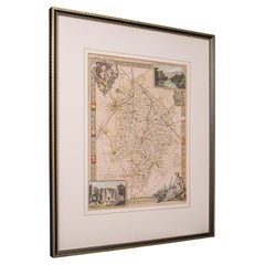
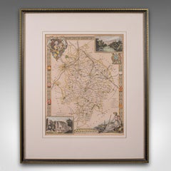
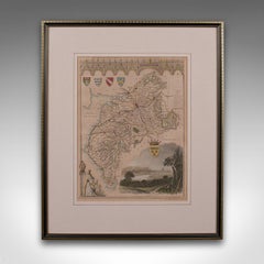
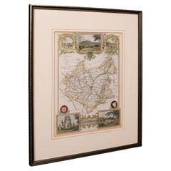
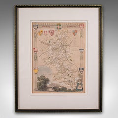
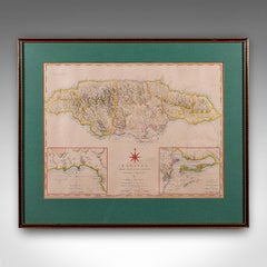
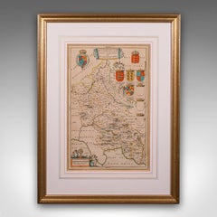
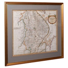
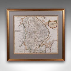
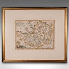
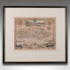
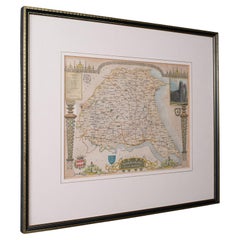
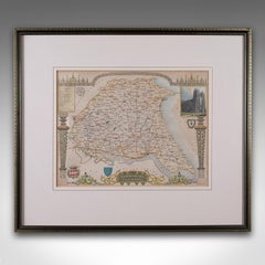
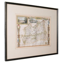
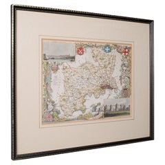
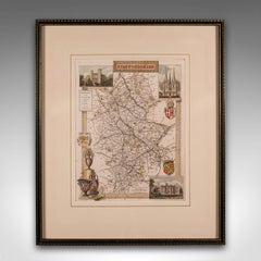
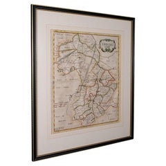
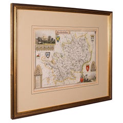
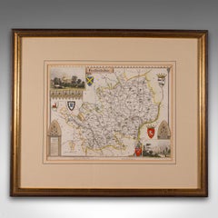
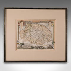
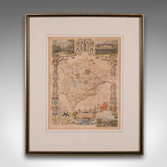
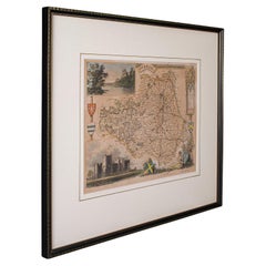
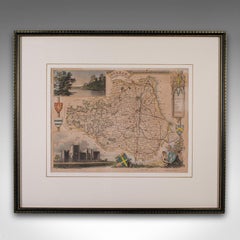
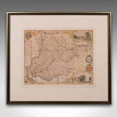
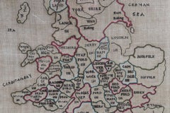
Antique English Map – Southern England & Wales, Johnston’s Royal Atlas, 1865
$329
H 19.1 in W 24.41 in D 0.02 in
Antique English Map – Southern England & Wales, Johnston’s Royal Atlas, 1865
Located in Langweer, NL
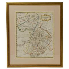
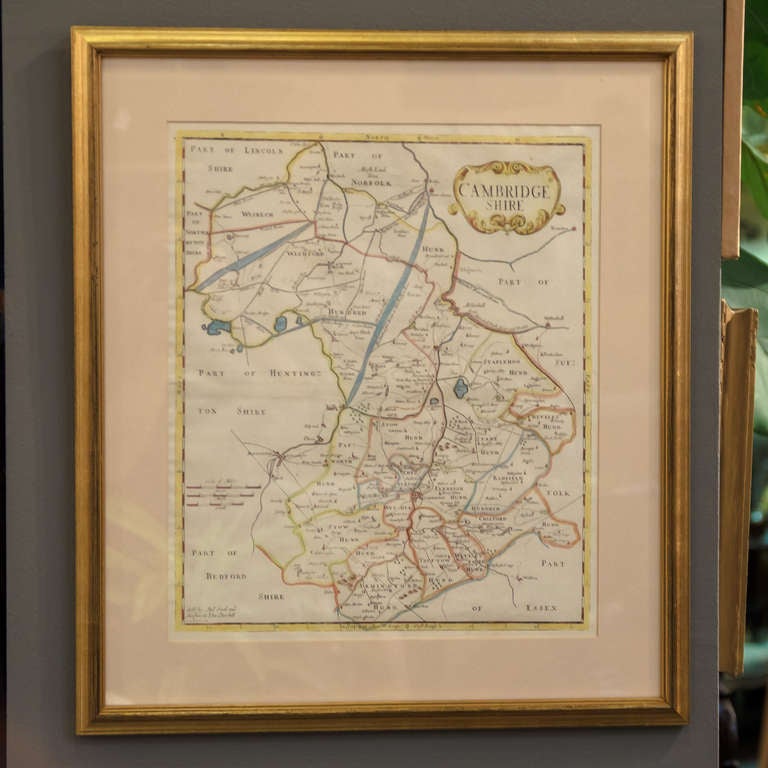
Antique Map of England & Wales (Southern Sheet) – Johnston’s Royal Atlas, 1865 This finely
Category
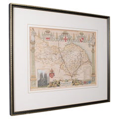
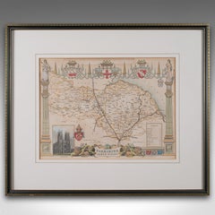
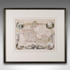
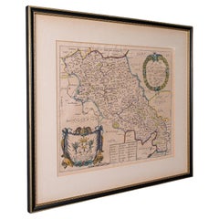
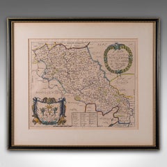
Mid-19th Century Scottish Antique English Maps
Materials
Paper


![Harwich Woodbridg and Handfordwater with the Sands from the Nazeland [...].](https://a.1stdibscdn.com/archivesE/upload/a_5923/1508759714837/IMG_0315_2_master.jpg?width=240)
![Harwich Woodbridg and Handfordwater with the Sands from the Nazeland [...].](https://a.1stdibscdn.com/archivesE/upload/a_5923/a_22396231508759719779/IMG_0316_a_master.jpg?width=240)
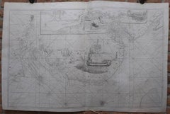
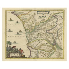
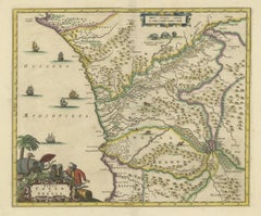
![Pascaart vant Canaal Tusschen Engelant en Vrancryck [...].](https://a.1stdibscdn.com/archivesE/upload/a_5923/1508835019025/IMG_0243_2_master.jpg?width=240)
![Pascaart vant Canaal Tusschen Engelant en Vrancryck [...].](https://a.1stdibscdn.com/archivesE/upload/a_5923/a_22429031508835023929/IMG_0244_a_master.jpg?width=240)
![Tabula Castelli ad Sandflitam, qua simul inundati agri, alluviones, [...].](https://a.1stdibscdn.com/archivesE/upload/a_5923/1509441013669/cb3408_master.jpg?width=240)