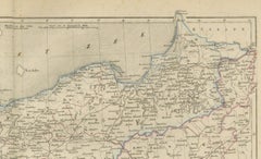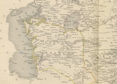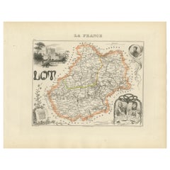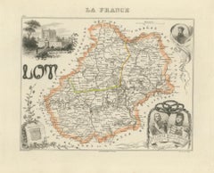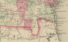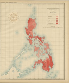
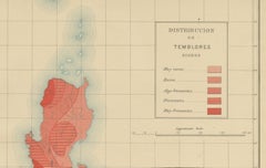
Seismic Activity Map of the Philippine Islands – Observatorio de Manila, 1899
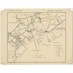
Located in Langweer, NL
The map illustrates the frequency of earthquakes across the archipelago through a color-coded key shown in the legend titled “Signos.”
Category
Antique 1890s Philippine Maps
Materials
Paper