
Antique Maps Of North America

to
38
119
94
117
65
56
53
32
32
29
20
20
17
10
7
7
7
6
6
6
6
5
5
5
5
4
4
3
3
3
3
3
3
3
2
2
2
2
1
1
1
1
1
1
2
2
2
2
2
Sort By
Antique Map of North America, 1821

Antique Map of North America, 1821

Located in Langweer, NL

Antique map of America titled 'Carte de l'Amerique septentrionale'. Scarce map of North America

Category

19th Century French Antique Maps Of North America

Materials

Paper

Antique Map of North America by Levasseur, 1875

Antique Map of North America by Levasseur, 1875

Located in Langweer, NL

Antique map titled 'Carte générale de l'Amérique Septentrionale'. Large map of North America. This

Category

Late 19th Century French Antique Maps Of North America

Materials

Paper

Antique Map of North America by Lowry '1852'

Antique Map of North America by Lowry '1852'

Located in Langweer, NL

Antique map titled 'North America'. Original map of North America. This map originates from

Category

Mid-19th Century Antique Maps Of North America

Materials

Paper

Large Original Vintage Map of North America, circa 1920

Large Original Vintage Map of North America, circa 1920

Located in St Annes, Lancashire

Great map of North America Original color. Good condition Published by Alexander Gross

Category

1920s English Edwardian Antique Maps Of North America

Materials

Paper

Antique Map of North America by Johnson, '1872'

Antique Map of North America by Johnson, '1872'

Located in Langweer, NL

Antique map titled 'Johnson's North America'. Original map of North America, with an inset map of

Category

Late 19th Century Antique Maps Of North America

Materials

Paper

Antique Map of North America by Dufour 'circa 1834'

Antique Map of North America by Dufour 'circa 1834'

Located in Langweer, NL

Antique map titled 'Amérique Septentrionale'. Uncommon map of North America. Published by or after

Category

Mid-19th Century Antique Maps Of North America

Materials

Paper

Original Antique Map of North America by Dower, circa 1835

Original Antique Map of North America by Dower, circa 1835

Located in St Annes, Lancashire

Nice map of North America Drawn and engraved by J.Dower Published by Orr & Smith. C.1835

Category

1830s English Antique Maps Of North America

Materials

Paper

Antique Map of North America by Laarman, c.1860

Antique Map of North America by Laarman, c.1860

Located in Langweer, NL

Antique map titled 'Noord Amerika'. Original antique map of North America. Published circa 1860

Category

19th Century Antique Maps Of North America

Materials

Paper

Antique Map of North America by A & C. Black, 1870

Antique Map of North America by A & C. Black, 1870

Located in Langweer, NL

Antique map titled 'North America'. Original antique map of North America. This map originates from

Category

Late 19th Century Antique Maps Of North America

Materials

Paper

Old Original Antique German Map of North America, ca.1870

Old Original Antique German Map of North America, ca.1870

Located in Langweer, NL

Antique map titled 'Nord-America'. Old map of North America. This map originates from 'H

Category

1870s German Antique Maps Of North America

Materials

Paper

Antique Map of North America by Johnston, 1882

Antique Map of North America by Johnston, 1882

By Alexander Keith Johnston

Located in Langweer, NL

Antique map titled 'North America'. Old map of North America. This map originates from 'The Royal

Category

19th Century Antique Maps Of North America

Materials

Paper

Black Map of North America by W&A K Johnston, 1920, Industrial Style

Black Map of North America by W&A K Johnston, 1920, Industrial Style

Located in Godshill, Isle of Wight

University Chart “Black Map of North America W&A K Johnston’s Charts of Physical Maps By G W

Category

Early 20th Century Industrial Antique Maps Of North America

Materials

Linen

Antique Map of North America Including the West Indies

Antique Map of North America Including the West Indies

Located in Langweer, NL

Original antique map titled 'Nord-America'. Old map of North America and the West Indies. Also

Category

Mid-19th Century German Antique Maps Of North America

Materials

Paper

Antique Map of North America from an Old Dutch School Atlas, 1852

Antique Map of North America from an Old Dutch School Atlas, 1852

Located in Langweer, NL

Antique map titled 'Noord-Amerika'. Map of North America. This map originates from 'School-Atlas

Category

19th Century Antique Maps Of North America

Materials

Paper

Antique Map of North America by Pierre M. Lapie, Paper, France, 1842

Antique Map of North America by Pierre M. Lapie, Paper, France, 1842

Located in Langweer, NL

Antique map titled 'Carte de l'Amérique septentrionale'. Map of North America, with an inset map of

Category

Mid-19th Century French Antique Maps Of North America

Materials

Paper

Large University Chart “Political Map of North America” by Bacon

Large University Chart “Political Map of North America” by Bacon

Located in Godshill, Isle of Wight

Large University chart “Political Map of North America” by Bacon W&A K Johnston’s Charts of

Category

Early 20th Century American Empire Antique Maps Of North America

Materials

Linen

Large University Chart “Political Map of North America” by Bacon

Large University Chart “Political Map of North America” by Bacon

Located in Godshill, Isle of Wight

Large University Chart “Political Map of North America” by Bacon W&A K Johnston’s Charts of

Category

Early 20th Century American Empire Antique Maps Of North America

Materials

Linen

New Map of North America from the Latest Discoveries, 1763

New Map of North America from the Latest Discoveries, 1763

Located in Philadelphia, PA

A fine antique 18th century map of the North American seaboard. Entitled "A New Map of North

Category

Mid-18th Century English Georgian Antique Maps Of North America

Materials

Paper

Scarce Latin Edition of Guillaume Delisle's 1700 Map of North America

Scarce Latin Edition of Guillaume Delisle's 1700 Map of North America

Located in Langweer, NL

Scarce German Edition of Guillaume Delisle's 1700 Map of North America This beautifully colored

Category

Early 1700s German Antique Maps Of North America

Materials

Paper

1868 "Lloyd's Topographical Railway Map of North America..." Hanging Wall Map

1868 "Lloyd's Topographical Railway Map of North America..." Hanging Wall Map

Located in Colorado Springs, CO

Presented is “Lloyd's Topographical Railway Map of North-America, or the United States Continent in

Category

1860s American Late Victorian Antique Maps Of North America

Materials

Linen, Paper

Antique Map of North America by Blackie & Son, Colored, 1882

Antique Map of North America by Blackie & Son, Colored, 1882

Located in Langweer, NL

Title: North America, Antique Map, United States, Canada and Mexico, Blackie 1860 Description

Category

1880s British Antique Maps Of North America

Materials

Paper

Map of North America - Etching - 19th Century

Map of North America - Etching - 19th Century

Located in Roma, IT

Map of America is an etching realized during the 19th century. Good condition.

Category

Early 19th Century Modern Antique Maps Of North America

Materials

Etching

Early 19th Century Hand Coloured Map of North America by Aaron Arrowsmith

Early 19th Century Hand Coloured Map of North America by Aaron Arrowsmith

By Aaron Arrowsmith

Located in Hamilton, Ontario

Septentionale" (North America). Map size: 9.5" x 8" Mat size: 20.5" x 14.25".

Category

Early 19th Century English Antique Maps Of North America

Materials

Paper

Framed 1838 North America & Recent Discoveries Map

Framed 1838 North America & Recent Discoveries Map

Located in Stamford, CT

1838 map of North America & recent discoveries. Engraved color map by J. Wyld, London, England

Category

1830s American American Classical Antique Maps Of North America

Materials

Glass, Wood, Paper

1830 Mexico and United States Framed Map

1830 Mexico and United States Framed Map

Located in Stamford, CT

Map of North America published circa 1830. Map shows United States into Canada. Mexico extending

Category

1830s American American Classical Antique Maps Of North America

Materials

Glass, Wood, Paper

Antique Map with Hand Coloring of North America and the West Indies

Antique Map with Hand Coloring of North America and the West Indies

Located in Langweer, NL

Original antique map titled 'Nord-America'. Old map of North America and the West Indies. This

Category

Late 19th Century Antique Maps Of North America

Materials

Paper

North America Antique Railroad Map c.1888 – U.S., Canada & Mexico

North America Antique Railroad Map c.1888 – U.S., Canada & Mexico

Located in Langweer, NL

Antique Map of North America – Rand McNally, circa 1888 This antique map of North America

Category

Late 19th Century American Antique Maps Of North America

Materials

Paper

Explore North America in 1903 - Intricately Detailed Antique Map

Explore North America in 1903 - Intricately Detailed Antique Map

Located in Langweer, NL

North America, 1903 - A Colorful Historical Map with Detailed Borders This attractive map of North

Category

Early 20th Century Antique Maps Of North America

Materials

Paper

Antique Map of British North America by Lowry, '1852'

Antique Map of British North America by Lowry, '1852'

Located in Langweer, NL

Antique map titled 'British North America'. Original map of British North America. This map

Category

Mid-19th Century Antique Maps Of North America

Materials

Paper

Antique Map of The United States of North America, 1882

Antique Map of The United States of North America, 1882

Located in Langweer, NL

This is a historical map titled "The United States of North America, Central Part" from the 1882

Category

1880s British Antique Maps Of North America

Materials

Paper

Antique Map of Virginia & the Chesapeake Bay by Jacques-Nicolas Bellin, c. 1750

Antique Map of Virginia & the Chesapeake Bay by Jacques-Nicolas Bellin, c. 1750

By Jacques-Nicolas Bellin

Located in Philadelphia, PA

A fine antique 18th century French map of North America. By Jacques-Nicolas Bellin. On laid paper

Category

18th Century French Baroque Antique Maps Of North America

Materials

Paper

Pair Antique Italian Maps of the North American Eastern Seaboard

Pair Antique Italian Maps of the North American Eastern Seaboard

Located in New York, NY

Pair antique Italian maps of the North American Eastern Seaboard. Late 18th early 19th century

Category

Late 18th Century Italian Antique Maps Of North America

Materials

Wood, Paper

Original Antique Map of the American State of North Dakota, 1903

Original Antique Map of the American State of North Dakota, 1903

Located in St Annes, Lancashire

Antique map of North Dakota Published By A & C Black. 1903 Original colour Good condition

Category

Early 1900s English Antique Maps Of North America

Materials

Paper

Original Antique Map of the American State of North Carolina, 1903

Original Antique Map of the American State of North Carolina, 1903

Located in St Annes, Lancashire

Antique map of North Carolina Published By A & C Black. 1903 Original colour Good condition

Category

Early 1900s English Antique Maps Of North America

Materials

Paper

Antique Map of North and South America by Walker, 1828

Antique Map of North and South America by Walker, 1828

Located in Langweer, NL

Antique map titled 'Geographical, Historical and Statistical Map of America'. Two maps on one sheet

Category

19th Century Antique Maps Of North America

Materials

Paper

Antique Map of North and Central America by Migeon '1880'

Antique Map of North and Central America by Migeon '1880'

By J. Migeon

Located in Langweer, NL

Antique map titled 'Amérique Septentrionale'. Old map of North and Central America. With a

Category

Late 19th Century French Antique Maps Of North America

Materials

Paper

Antique Map of the United States of North America, c.1882

Antique Map of the United States of North America, c.1882

Located in Langweer, NL

Antique map titled 'United States of North America'. Old map of the United States of North America

Category

1880s Antique Maps Of North America

Materials

Paper

Decorative Dutch Antique Map of North and South America, 1841

Decorative Dutch Antique Map of North and South America, 1841

Located in Langweer, NL

Description: Antique map titled 'Amerika'. Small map of North and South America. This map

Category

1840s Antique Maps Of North America

Materials

Paper

Antique Map of the United States of North America by Johnston '1909'

Antique Map of the United States of North America by Johnston '1909'

Located in Langweer, NL

Antique map titled 'United States of North America'. Original antique map of United States of North

Category

Early 20th Century Antique Maps Of North America

Materials

Paper

Antique Map of the United States of North America by Wyld '1845'

Antique Map of the United States of North America by Wyld '1845'

Located in Langweer, NL

Antique map titled 'Map of The United States of North America'. Original antique map of the United

Category

Mid-19th Century Antique Maps Of North America

Materials

Paper

Antique Hand-Coloured Map of North and South America, ca.1765

Antique Hand-Coloured Map of North and South America, ca.1765

Located in Langweer, NL

Description: Antique map titled 'Nieuwe Kaart van Amerika.' Attractive map of North and South

Category

1760s Antique Maps Of North America

Materials

Paper

Antique Map of South America ‘North’ by A.K. Johnston, 1865

Antique Map of South America ‘North’ by A.K. Johnston, 1865

Located in Langweer, NL

Antique map titled 'South America, Northern Sheet'. Depicting Guiana, Ecuador, Brazil, Bolivia the

Category

Mid-19th Century Antique Maps Of North America

Materials

Paper

Antique Map of the British Possessions in North America by Wyld '1845'

Antique Map of the British Possessions in North America by Wyld '1845'

Located in Langweer, NL

Antique map titled 'Map of The British Possessions in North America'. Original antique map of the

Category

Mid-19th Century Antique Maps Of North America

Materials

Paper

  • 1
Get Updated with New Arrivals
Save "Antique Maps Of North America", and we’ll notify you when there are new listings in this category.

Antique Maps Of North America For Sale on 1stDibs

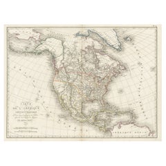
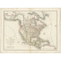
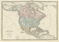
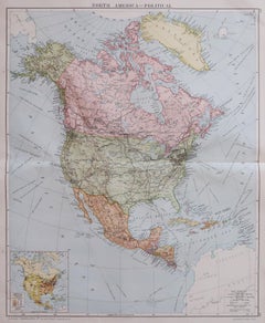
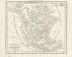
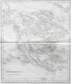
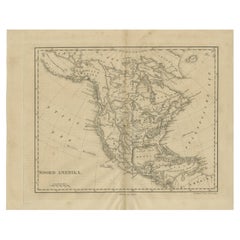
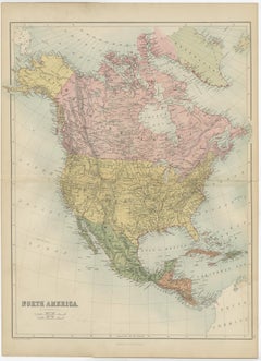
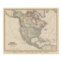
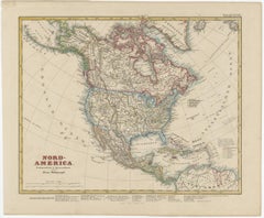
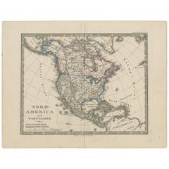
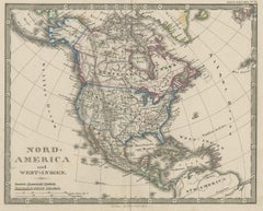
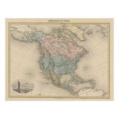
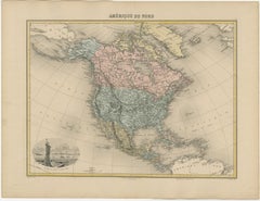
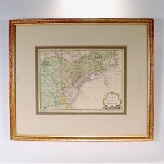
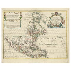
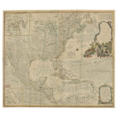
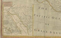
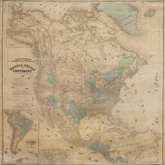
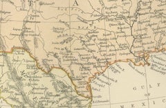
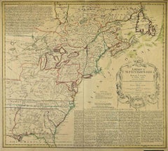
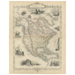
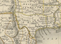
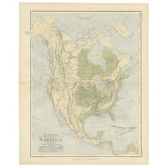
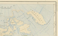
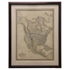
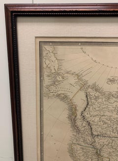
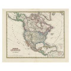
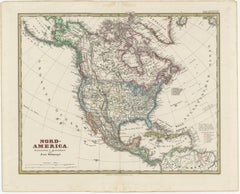
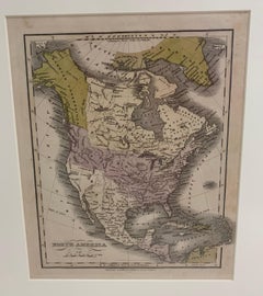
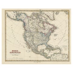
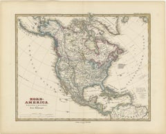
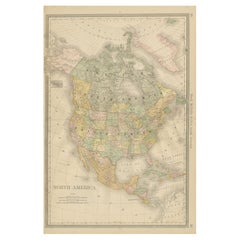
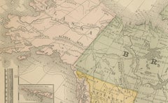
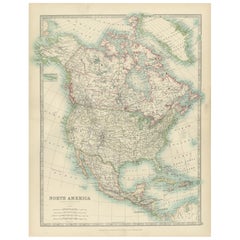
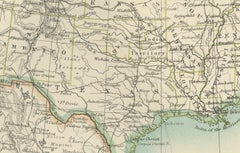
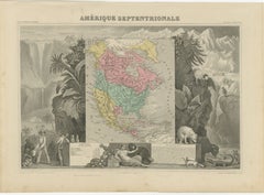
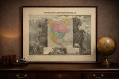
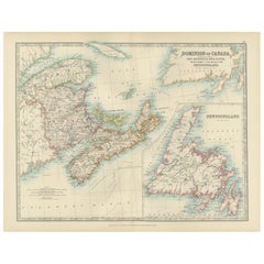
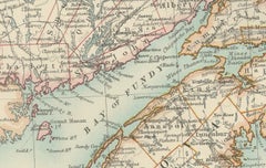
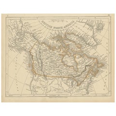
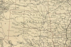
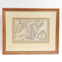
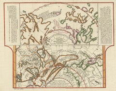
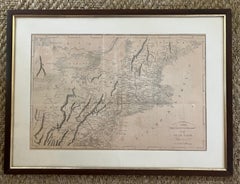
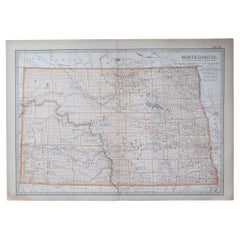
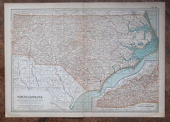
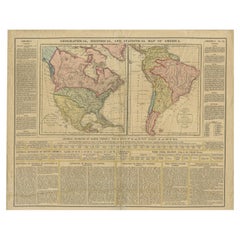
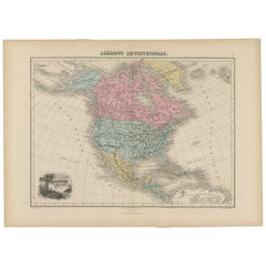
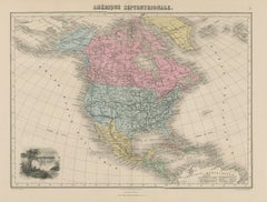
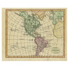
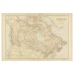
At 1stDibs, there are many versions of the ideal antique maps of North america for your home. Frequently made of paper, fabric and linen, every antique maps of North america was constructed with great care. You’ve searched high and low for the perfect antique maps of North america — we have versions that date back to the 18th Century alongside those produced as recently as the 20th Century are available. Each antique maps of North america bearing Victorian, Folk Art or Industrial hallmarks is very popular. You’ll likely find more than one antique maps of North america that is appealing in its simplicity, but Aaron Arrowsmith, Emanuel Bowen and George Willdey produced versions that are worth a look.

How Much is a Antique Maps Of North America?

The average selling price for an antique maps of North america at 1stDibs is $678, while they’re typically $25 on the low end and $150,000 for the highest priced.

Read More

Dickens Fan on Your List? This First Edition of ‘A Christmas Carol’ Is a Treasure

Produced in 1843, the well-preserved volume is evidence of the author's exacting specifications.

Patchwork Quilts Are the Latest Nostalgic Design Trend

New or old, the coverlets add old-time charm to any space.

Medal-Worthy Memorabilia from Epic Past Olympic Games

Get into the games! These items celebrate the events, athletes, host countries and sporting spirit.

Ahoy! You’ve Never Seen a Collection of Sailor Art and Kitsch Quite Like This

French trendsetter and serial collector Daniel Rozensztroch tells us about his obsession with objects related to seafaring men.

39 Incredible Swimming Pools

It's hard to resist the allure of a beautiful pool. So, go ahead and daydream about whiling away your summer in paradise.

Pamela Shamshiri Shares the Secrets behind Her First-Ever Book and Its Effortlessly Cool Interiors

The sought-after designer worked with the team at Hoffman Creative to produce a monograph that beautifully showcases some of Studio Shamshiri's most inspiring projects.

Moroccan Artworks and Objects Take Center Stage in an Extraordinary Villa in Tangier

Italian writer and collector Umberto Pasti opens the doors to his remarkable cave of wonders in North Africa.

Montecito Has Drawn Royalty and Celebrities, and These Homes Are Proof of Its Allure

Hollywood A-listers, ex-pat aristocrats and art collectors and style setters of all stripes appreciate the allure of the coastal California hamlet — much on our minds after recent winter floods.