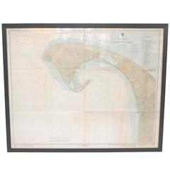
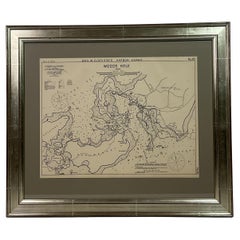
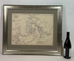
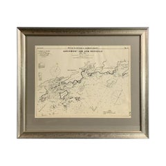
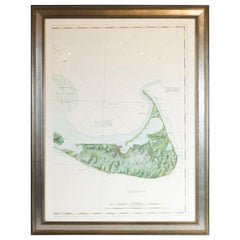
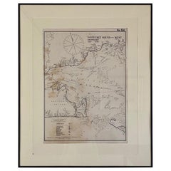
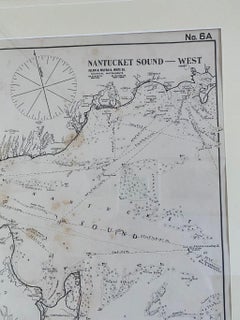
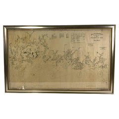
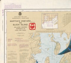
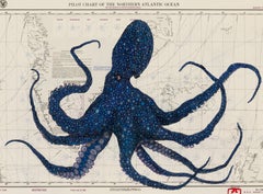
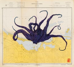
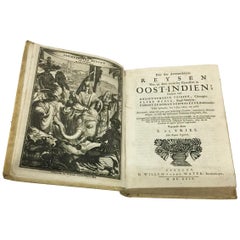
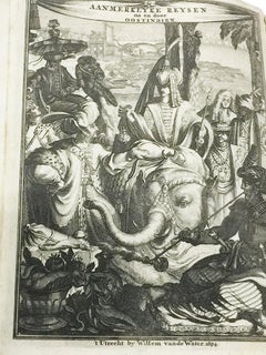
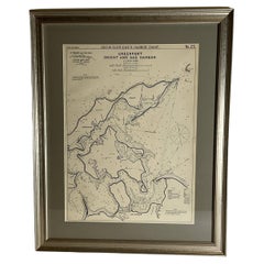
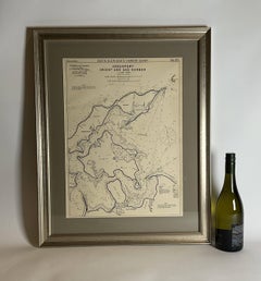
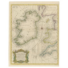
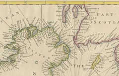
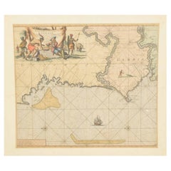
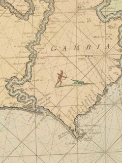
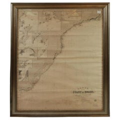
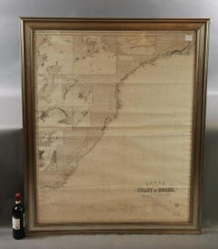
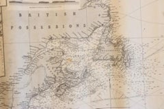
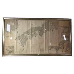
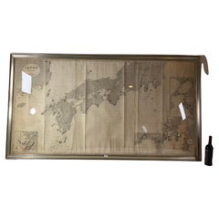
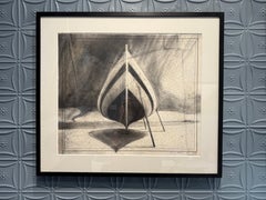
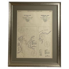
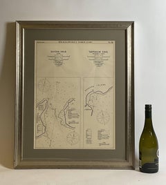
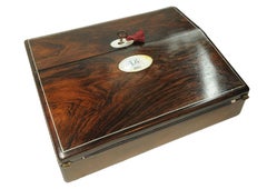
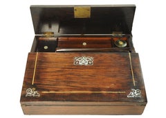
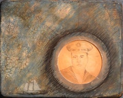
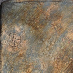
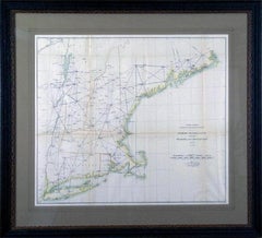
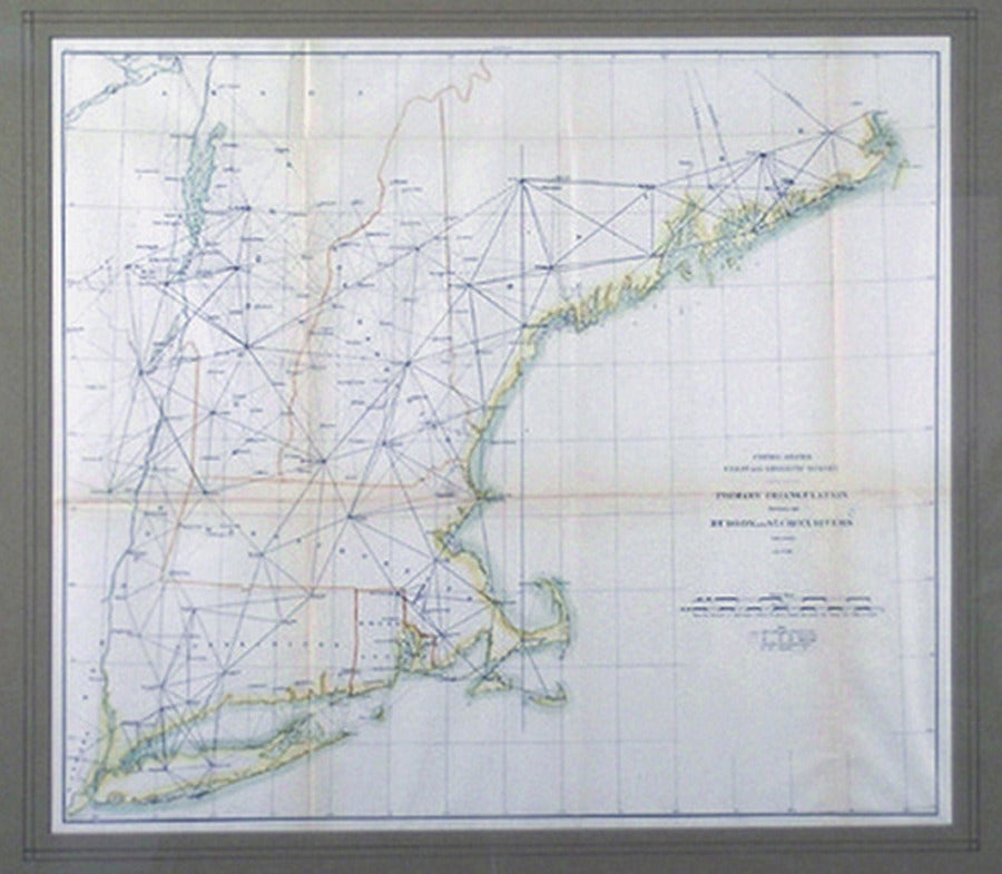
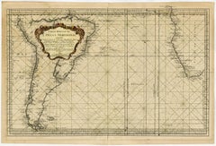
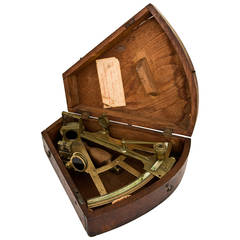
At 1stDibs, there are several options of used nautical charts available for sale. Frequently made of
paper,
metal and
brass, all used nautical charts available were constructed with great care. Used nautical charts have long been popular, with older editions for sale from the 18th Century and newer versions made as recently as the 21st Century. Used nautical charts made by
Industrial designers — as well as those associated with
Mid-Century Modern — are very popular at 1stDibs. There have been many well-made used nautical charts over the years, but those made by
Antoine Roux,
G. A. Rizzi-zannoni and
W.H. Harling Ltd. are often thought to be among the most beautiful.


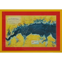


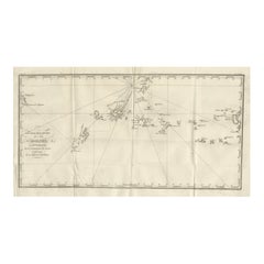


![Carte de la Rade et des Iles d'Hyeres [...].](https://a.1stdibscdn.com/archivesE/upload/a_5923/1509453017426/IMG_0049_2_master.jpg?width=240)
![Carte de la Rade et des Iles d'Hyeres [...].](https://a.1stdibscdn.com/archivesE/upload/a_5923/a_22615931509453026342/IMG_0050_a_master.jpg?width=240)
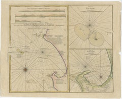
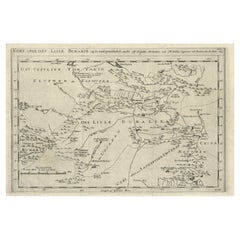
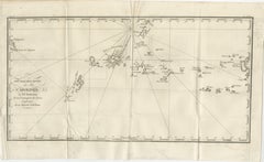
![No. 28. Carte reduite du Golfe de Gascoigne [...].](https://a.1stdibscdn.com/archivesE/upload/a_5923/1509453330717/IMG_0051_2_master.jpg?width=240)
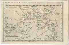
![No. 28. Carte reduite du Golfe de Gascoigne [...].](https://a.1stdibscdn.com/archivesE/upload/a_5923/a_22616131509453342160/IMG_0052_a_master.jpg?width=240)
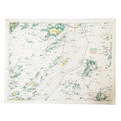
![Carte reduite des Mers du Nord [...].](https://a.1stdibscdn.com/archivesE/upload/a_5923/1508839571071/cb3800_master.jpg?width=240)
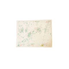
![Carte reduite des costes d'Espagne et de Portugal [...].](https://a.1stdibscdn.com/archivesE/upload/a_5923/1508838060305/cb3804_master.jpg?width=240)
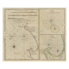
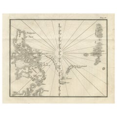
![Carte reduite de Partie de la Mer du Nord comprise entre l'Ecosse, [...].](https://a.1stdibscdn.com/archivesE/upload/a_5923/1509452708990/IMG_0047_2_master.jpg?width=240)
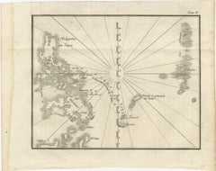
![Carte reduite de Partie de la Mer du Nord comprise entre l'Ecosse, [...].](https://a.1stdibscdn.com/archivesE/upload/a_5923/a_22615731509452717459/IMG_0048_a_master.jpg?width=240)
![Carte reduite du Golphe de St. Laurent [...].](https://a.1stdibscdn.com/archivesE/upload/a_5923/1508840070256/cb3803_master.jpg?width=240)
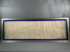
![No.27. Carte reduite des Passage de l'Iroise du Four et du Raz [...].](https://a.1stdibscdn.com/archivesE/upload/a_5923/1508763082730/IMG_0045_2_master.jpg?width=240)
![Carte generale des costes de l'Europe sur l'ocean [...].](https://a.1stdibscdn.com/archivesE/upload/a_5923/1508837429054/cb3798_master.jpg?width=240)