Items Similar to Imray Ocean Chart of the Coast of Brazil 1876

Want more images or videos?
Request additional images or videos from the seller
1 of 6
Imray Ocean Chart of the Coast of Brazil 1876
About the Item
Imray & Son 1876 Nautical chart of the Coast of Brazil between Cape Frio and the River Plate. Nicely framed. Overall Dimensions: 46" H x 56" W.
- Dimensions:Height: 46 in (116.84 cm)Width: 56 in (142.24 cm)Depth: 3 in (7.62 cm)
- Materials and Techniques:
- Period:
- Date of Manufacture:1876
- Condition:
- Seller Location:Norwell, MA
- Reference Number:
About the Seller
5.0
Vetted Seller
These experienced sellers undergo a comprehensive evaluation by our team of in-house experts.
Established in 1967
1stDibs seller since 2015
346 sales on 1stDibs
Typical response time: 2 hours
- ShippingRetrieving quote...Ships From: Norwell, MA
- Return PolicyThis item cannot be returned.
More From This SellerView All
- Original Imray & Son Chart of North Atlantic, 1876Located in Norwell, MANautical chart of the North Atlantic showing the Eastern United States coast, Caribbean Islands, South America (Venezuela and ), British Possessions (Canada - Gulf of Lawrence, Newfo...Category
Antique 1870s Nautical Objects
MaterialsPaper
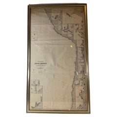
- Chart of West Coast of South America by James Imray and SonLocated in Norwell, MAChart of West Coast of South America compiled by James F. Imray and published in 1880. The chart captures the west coast from Valparaiso to Truxillo. Includes ...Category
Antique 1880s English Nautical Objects
MaterialsPaper
- 1865 Chart of the Islands of MadeiraLocated in Norwell, MARare James Imray chart from 1865 titled "Chart of the Islands of Madeira, Porto Santo and Dezerea" drawn from the survey made by Captain Ate Vidal Royal Navy, London. Published by Ja...Category
Antique 1860s European Maps
MaterialsPaper
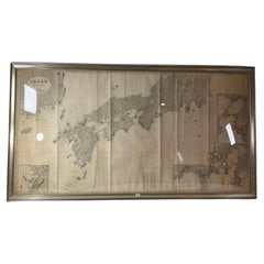
- Chart of Japan by James Imray and SonLocated in Norwell, MAChart of southern Japan compiled by James F. Imray and published in 1870. The chart captures the coast and islands. Includes Nagasaki, Kii Channel, Gulf of Yed...Category
Antique 1870s English Nautical Objects
MaterialsPaper
- Chart of the East Coast of EnglandLocated in Norwell, MAChart of the East Coast of England, from Dungeness to Flamborough, including the entrances to the Thames River. Drawn by hydrographer J.W. Norie in 1841. Includes Kent, Essex and Suf...Category
Antique 1840s English Nautical Objects
MaterialsPaper
- Chart of Boston's North ShoreLocated in Norwell, MARarely found restrike of an 1804 chart by Nathanael Bowditch of the Harbors of Salem, Marblehead, Beverly, and Manchester. Showing the Islands of Great Misery, Satan, Cuney, Winter,...Category
Vintage 1980s North American Maps
MaterialsPaper


You May Also Like
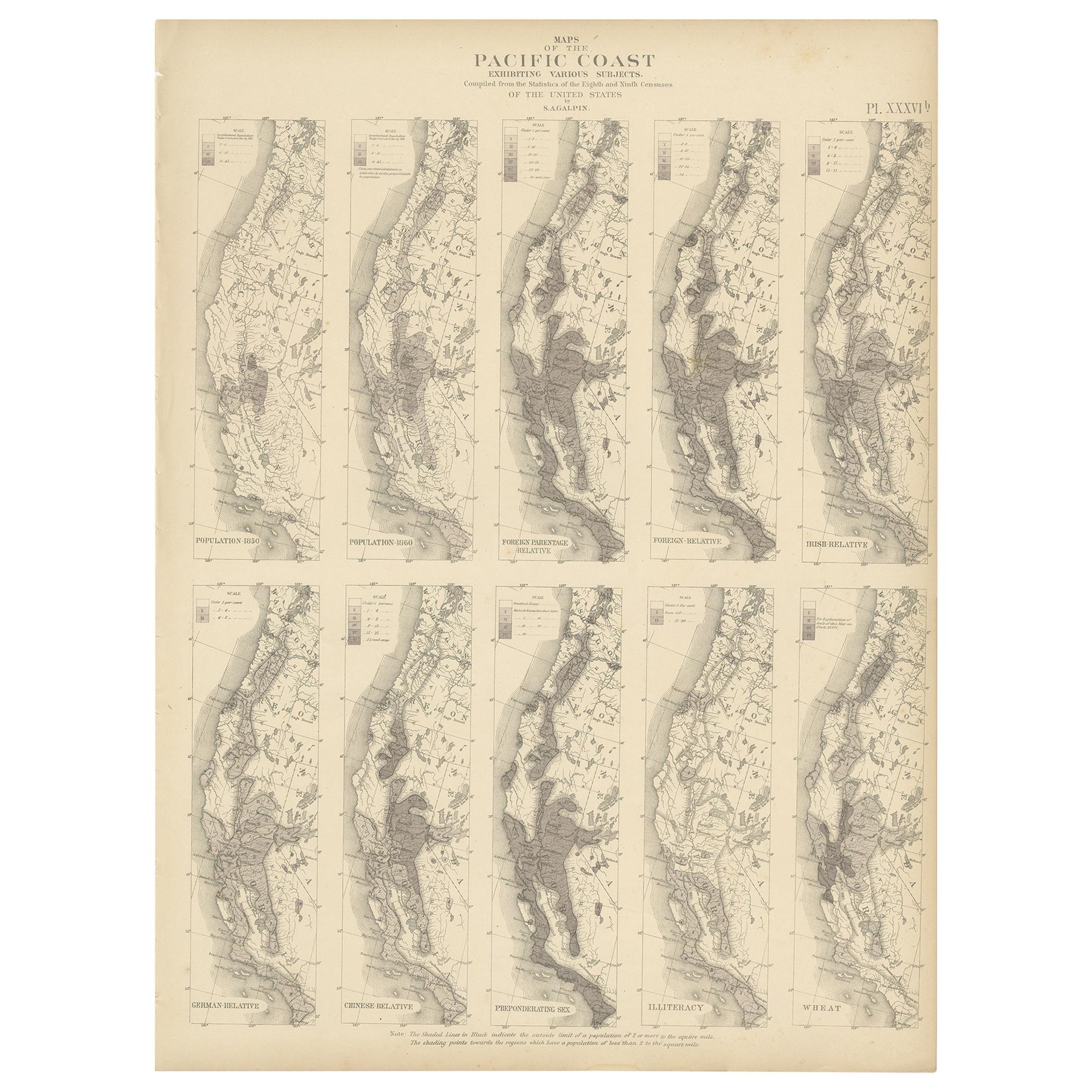
- Antique Chart of the Pacific Coast '1874'Located in Langweer, NLAntique chart titled 'Maps of the Pacific Coast exhibiting various subjects. Compiled from the statistics of the eight and ninth census of the United Sta...Category
Antique Late 19th Century Maps
MaterialsPaper
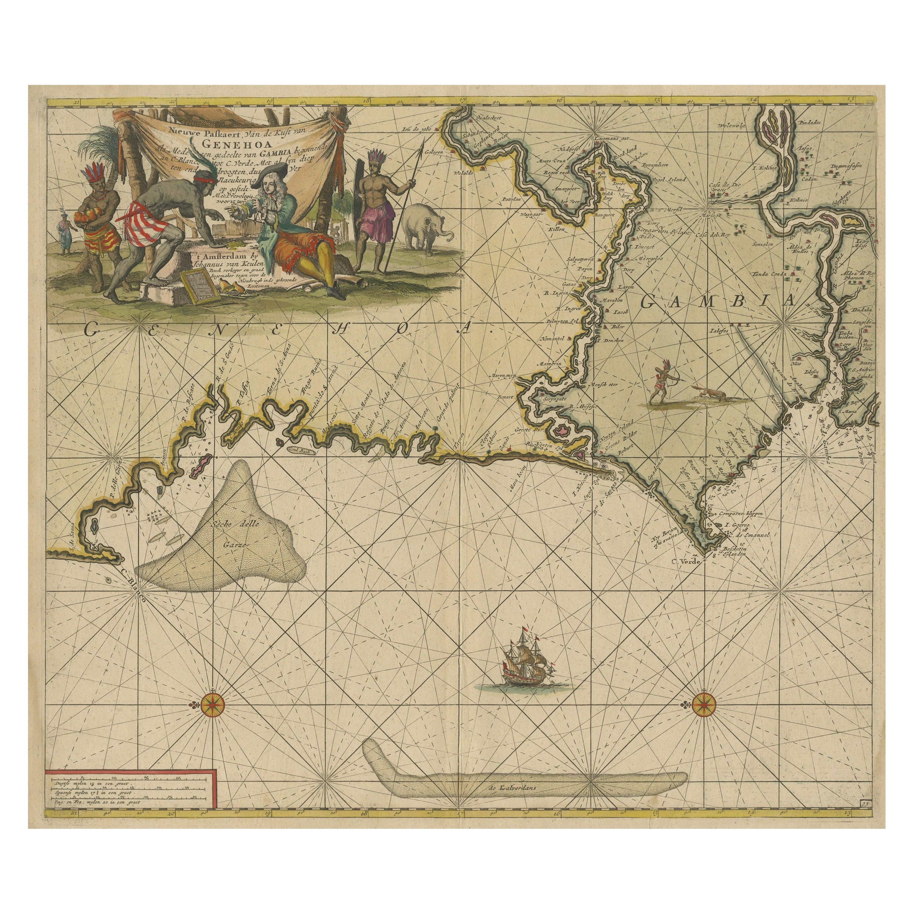
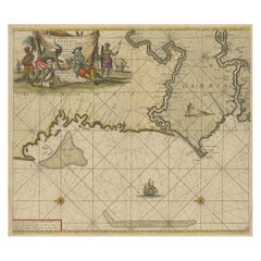
- Antique Sea Chart of the Western Coast of AfricaLocated in Langweer, NLAntique map titled 'Nieuwe Paskaert van de Kust van Genehoa (..)'. This attractive sea chart covers the western coast of Africa from Cape Blanco (Ras Nouadhibou) to Cape Verde (Dakar...Category
Antique Late 17th Century Maps
MaterialsPaper
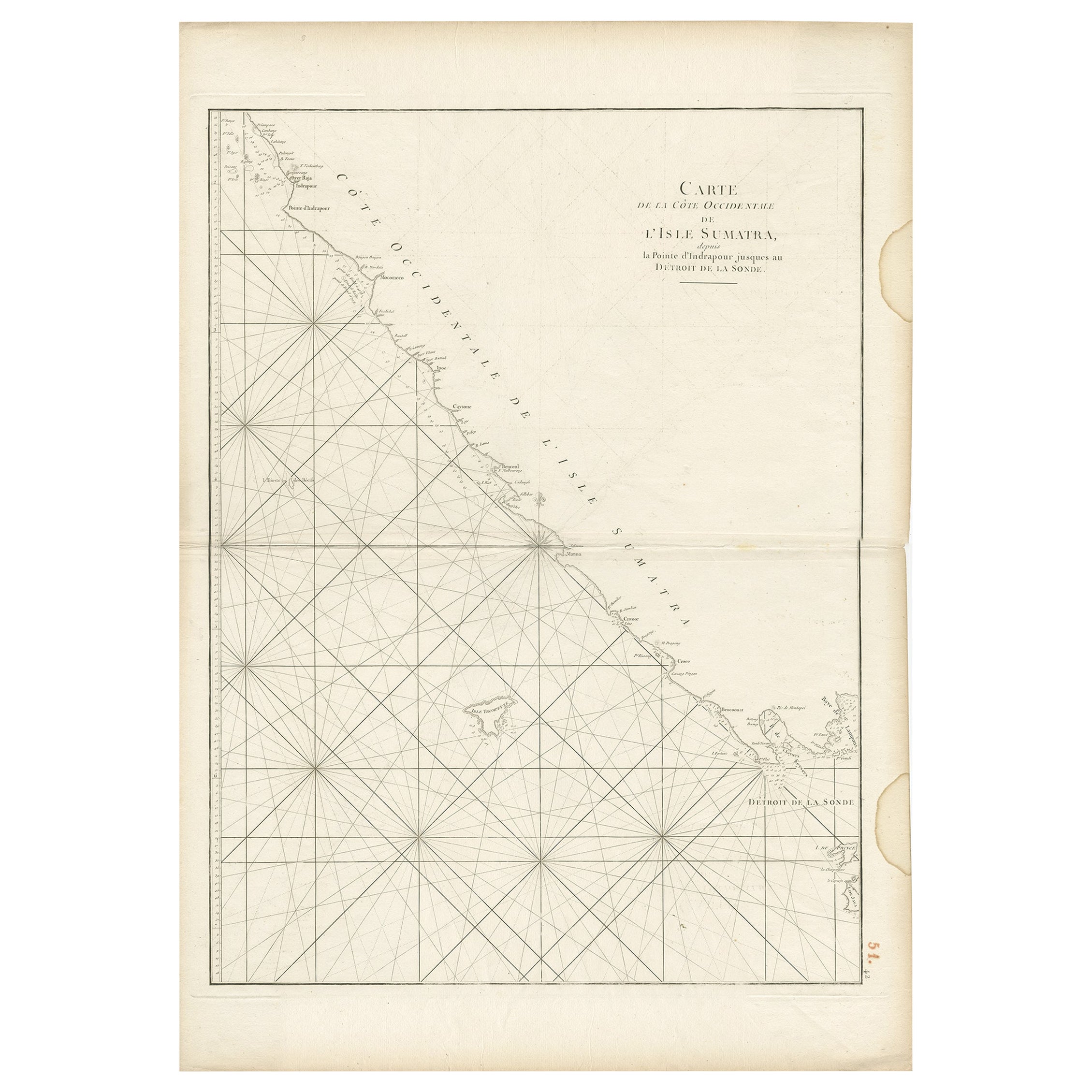
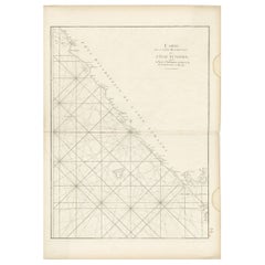
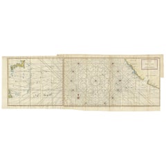
- Antique Sea Chart of the Coast of Sumatra, Indonesia, circa 1775Located in Langweer, NLAntique map titled 'Carte de la Côte Occidentale de l'Isle Sumatra'. Sea chart of the part of the south-western coast of Sumatra with the Nassau (Nias) and Fortune isles. Artists ...Category
Antique 18th Century Maps
MaterialsPaper
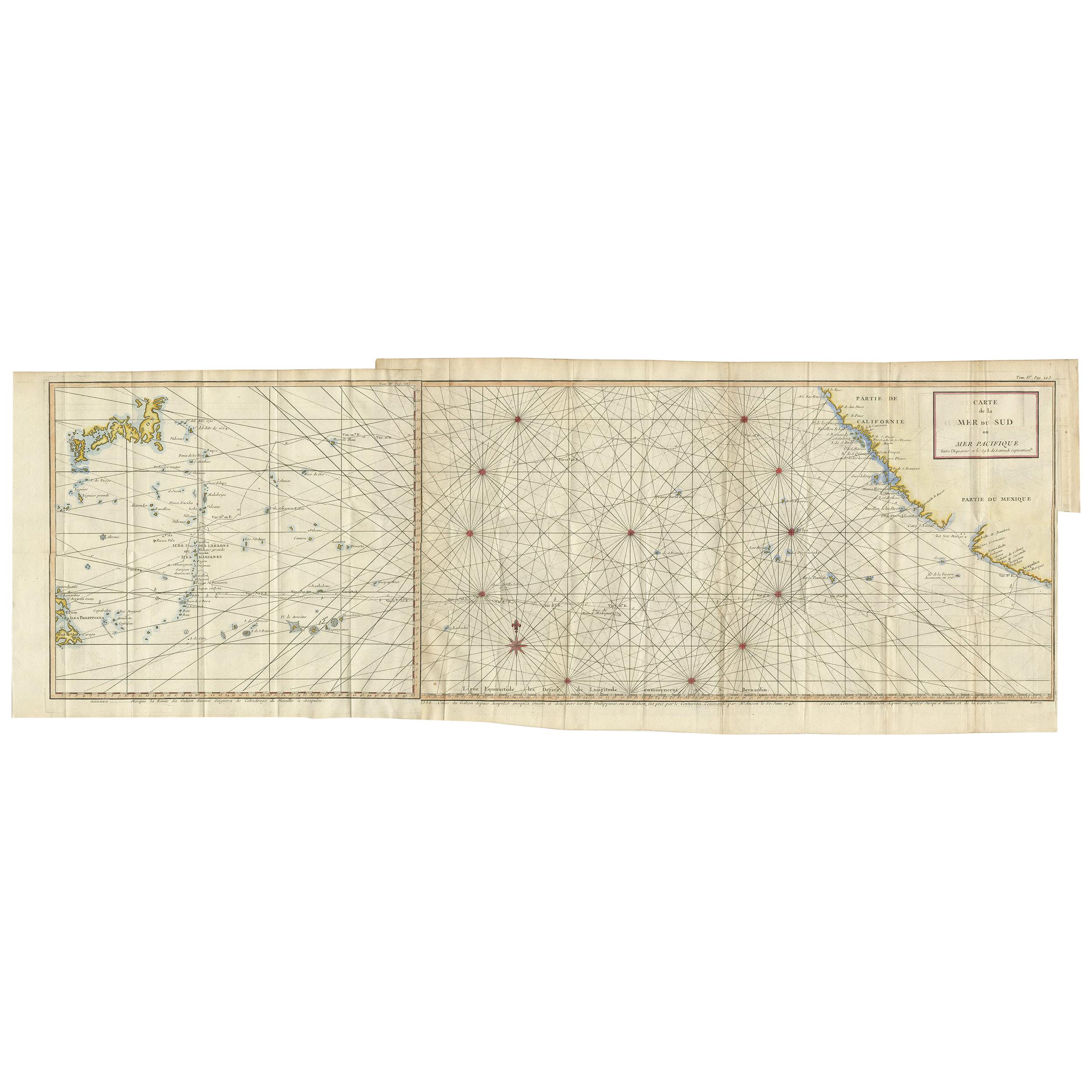
- Antique Chart of the Mid-Pacific Ocean by Anson, 'c.1784'Located in Langweer, NLAntique map titled 'Carte de la Mer du Sud ou Mer Pacifique'. Original chart of the mid-Pacific Ocean, includes voyage tracks of Anson’s Centurion and the ship he stalked, the Spanish treasure...Category
Antique Late 18th Century Maps
MaterialsPaper
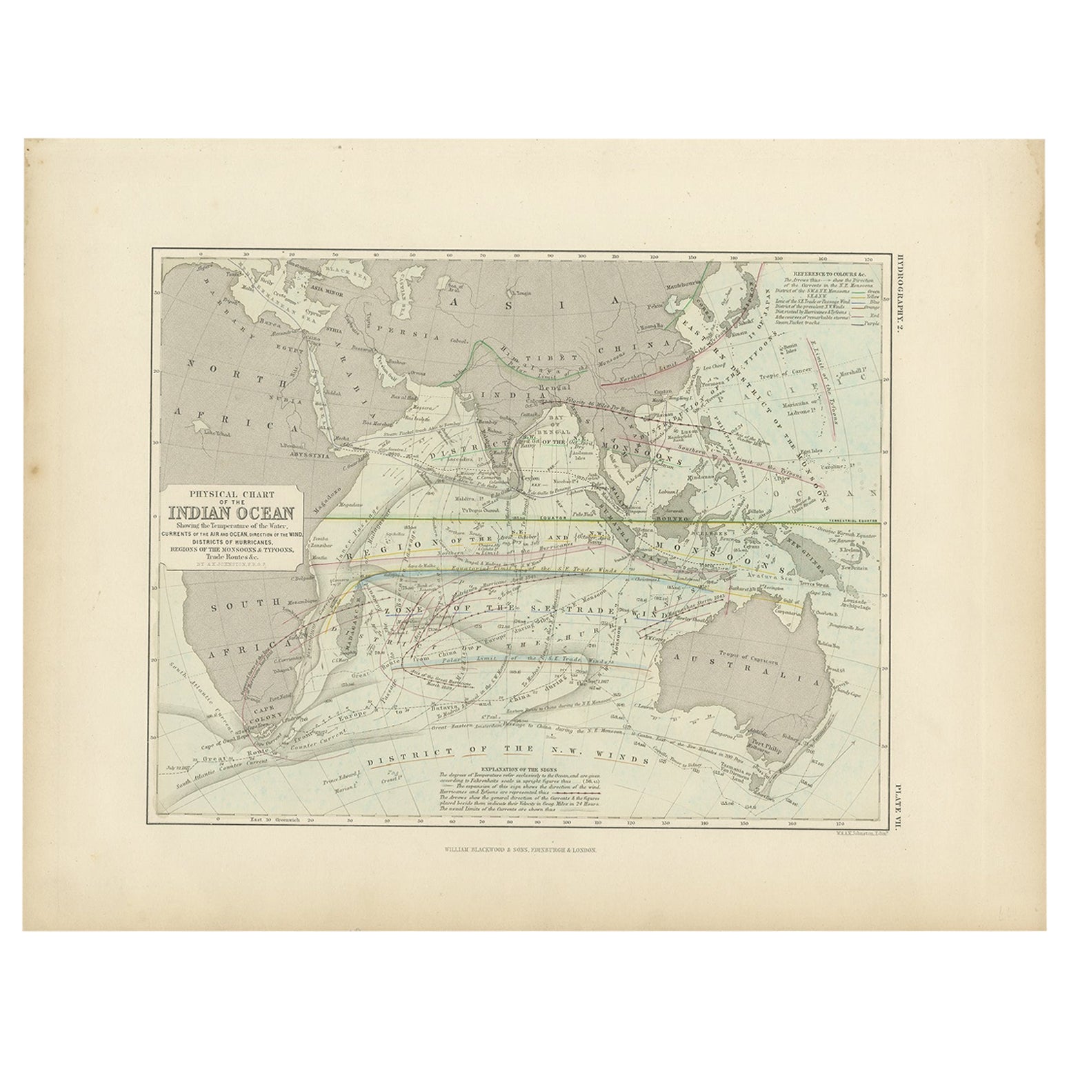
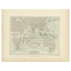
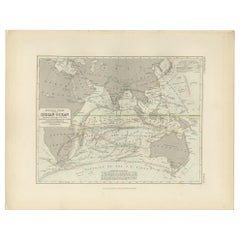
- Antique Physical Chart of the Indian Ocean by Johnston, 1850Located in Langweer, NLAntique map titled 'Physical Chart of the Indian Ocean'. This map shows the temperature of the water, currents of the air and ocean, direction of the wind, districts of hurricanes, t...Category
Antique 19th Century Maps
MaterialsPaper
- Antique Physical Chart of the Indian Ocean by Johnston '1850'Located in Langweer, NLAntique map titled 'Physical Chart of the Indian Ocean showing the temperature of the water'. Original antique chart of the Indian Ocean. This map originates from 'The Physical Atlas...Category
Antique Mid-19th Century Maps
MaterialsPaper

Recently Viewed
View AllMore Ways To Browse
Brazil Plate
Brazilian Plate
Antique Chart
Antique Charts
1876 Plates
Framed Chart
Nautical Charts
Ocean Nautical Objects
Antique Nautical Charts
Nautical Antique Compass
Shipyard Furniture
Antique Nautical Compasses
Nautical Door
Antique Spoke Wheel
Copper Boat
Custom Antique Wood Signs
Battleship Vintage
Antique Nautical Instruments