Maps

6,380 Results
to
2,555
6,132
244
6,378
4
1
6,305
119
6,383
6,383
6,383
Maps For Sale
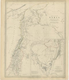
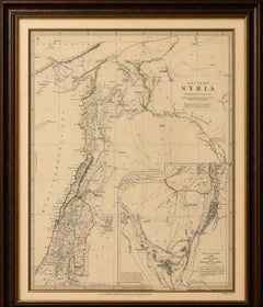
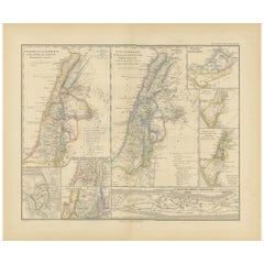
Ancient Syria Map Including Palestine, Jerusalem & Mount Sinai, 1843

Ancient Syria Map Including Palestine, Jerusalem & Mount Sinai, 1843

Located in Langweer, NL

Ancient Syria Map Including Palestine, Jerusalem & Mount Sinai, 1843 A highly detailed and historically evocative antique map titled “Ancient Syria,” published in London in 1843 und...

Category

Early 20th Century British Maps

Materials

Paper

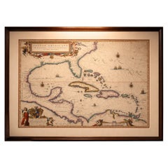
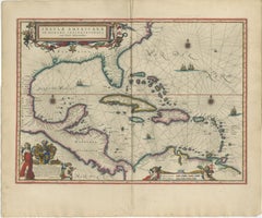
Important Blaeu Caribbean Map, West Indies, Decorative Atlas Chart, c.1642

Important Blaeu Caribbean Map, West Indies, Decorative Atlas Chart, c.1642

Located in Langweer, NL

An important and Highly Decorative Blaeu Caribbean Map, West Indies, Antique Atlas Chart, c1642 Description: An exceptional and highly decorative map of the Caribbean, titled Insula...

Category

Mid-17th Century Dutch Antique Maps

Materials

Paper

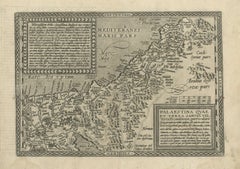
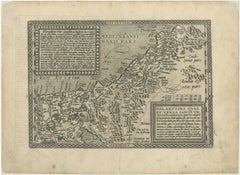
Rare 16th Century Map of the Holy Land and Palestine by Matthias Quad, ca.1599

Rare 16th Century Map of the Holy Land and Palestine by Matthias Quad, ca.1599

Located in Langweer, NL

Title: Rare 16th Century Map of the Holy Land and Palestine by Matthias Quad Description: This rare late sixteenth-century map titled Palaestina quae et Terra Sancta vel Terra Promi...

Category

16th Century German Antique Maps

Materials

Paper

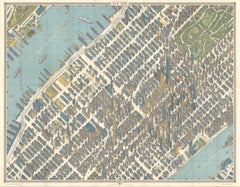
Hermann Bollmann New York City Bird’s-Eye Map for American Airlines, 1964

Hermann Bollmann New York City Bird’s-Eye Map for American Airlines, 1964

Located in Langweer, NL

Hermann Bollmann New York City Bird’s-Eye Map for American Airlines, 1964 DESCRIPTION: Original vintage pictorial map and travel guide to New York City, published for American Airli...

Category

Mid-20th Century American Mid-Century Modern Maps

Materials

Paper

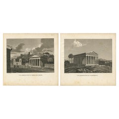
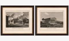
Set of Two Ancient Greek Temple Views, Parthenon and Theseion, Tardieu, 1825

Set of Two Ancient Greek Temple Views, Parthenon and Theseion, Tardieu, 1825

Located in Langweer, NL

Title: Set of Two Ancient Greek Temple Views, Parthenon and Theseion, Tardieu, 1825 Description: Set of two original antique engravings depicting two of the most celebrated temples ...

Category

1820s French Antique Maps

Materials

Paper

Rare Antique Wall-Map of North America: French and Indian War Boundaries, 1793

Rare Antique Wall-Map of North America: French and Indian War Boundaries, 1793

Located in Langweer, NL

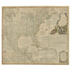
Rare 1793 Map of North America: French and Indian War Boundaries and Historical Notes This remarkable engraved map of North America, printed in 1793 by Emanuel Bowen and John Gibs...

Category

1790s Antique Maps

Materials

Paper

Persia Unveiled: Antique Map of Iran, Afghanistan, and Beyond, 1852

Persia Unveiled: Antique Map of Iran, Afghanistan, and Beyond, 1852

Located in Langweer, NL

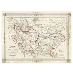
The antique map titled 'Royaumes de Perse Herat & Kaboul' is an attractive map of Persia. Here are the key details and features of the map: 1. **Geographic Coverage**: - The map ...

Category

Mid-19th Century French Antique Maps

Materials

Paper

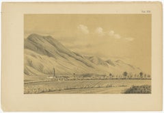
Antique Caracas Venezuela Monte Ávila Landscape - Tinted Lithograph, 1888

Antique Caracas Venezuela Monte Ávila Landscape - Tinted Lithograph, 1888

Located in Langweer, NL

Antique Caracas Venezuela Monte Ávila Landscape 1888 Tinted Lithograph This refined 19th-century tinted lithograph depicts a wide agricultural valley on the outskirts of Caracas, Ve...

Category

1880s Dutch Antique Maps

Materials

Paper

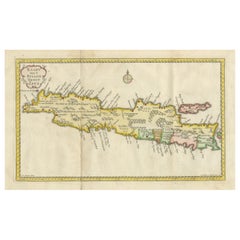
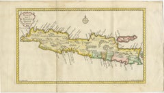
Scarce Antique Map of the Island of Java, Indonesia

Scarce Antique Map of the Island of Java, Indonesia

Located in Langweer, NL

Title: "Kaart van 't Eyland Groot Java: Antique Map of Java, Indonesia" Description: This antique map, titled "Kaart van 't Eyland Groot Java," offers a rare and valuable depiction ...

Category

Late 18th Century Antique Maps

Materials

Paper

Antique World Map by P. Schenk '1706'

Antique World Map by P. Schenk '1706'

By Peter Schenk

Located in Langweer, NL

Antique map titled 'Diversa Orbis Terrae. Visu Incedente per Coluros Tropicorum, Ambos Ejus Polos, et Parciularis Sphaerae Zenith, in Planum Orthographica Projectio (..) Plat Ontwerp van verscheyde Aert-klooten (..)'. One of the earliest Dutch World Maps to focus on a more modern cartographic style, based on Carel Allard's map of 1696. This map represented a noteworthy shift from the traditional decorative Dutch 17th century maps where the margins would be full of classical mythological...

Category

Early 18th Century Antique Maps

Materials

Paper

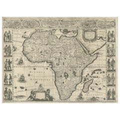
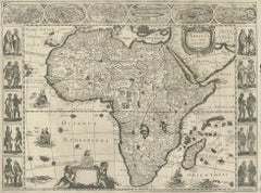
Antique Map of Africa by Janssonius, Rare Paneled Print, Circa 1655

Antique Map of Africa by Janssonius, Rare Paneled Print, Circa 1655

Located in Langweer, NL

Antique map titled 'Africa Nova Tabula Auct Jud. Hondio'. Beautiful and rare paneled map of Africa, Based Upon Hondius' map. The first derivative of the map was issued separately by ...

Category

Mid-17th Century Dutch Antique Maps

Materials

Paper

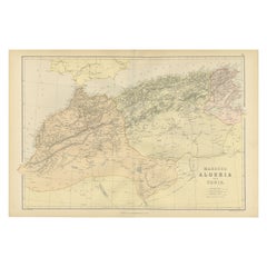
Morocco, Algeria and Tunis, Antique Map of North Africa, Blackie, 1882

Morocco, Algeria and Tunis, Antique Map of North Africa, Blackie, 1882

Located in Langweer, NL

The maps is from the 1882 atlas by Blackie & Son and offers a detailed view of the North African regions as understood in the late 19th century. Map of Morocco, Algeria, and Tunis...

Category

1880s British Antique Maps

Materials

Paper

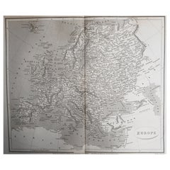
Original Antique Map of Europe, Arrowsmith, 1820

Original Antique Map of Europe, Arrowsmith, 1820

Located in St Annes, Lancashire

Great map of Europe Drawn under the direction of Arrowsmith. Copper-plate engraving. Published by Longman, Hurst, Rees, Orme and Brown, 1820 ...

Category

1820s English Antique Maps

Materials

Paper

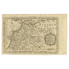
Antique Map of the Empire of Morocco by Kitchin, c.1760

Antique Map of the Empire of Morocco by Kitchin, c.1760

By Thomas Kitchin

Located in Langweer, NL

Antique map titled 'A Map of the Empire of Morocco Comprehending the Kingdoms of Fez, Morocco'. Original antique map of the kingdoms of Fez, Algiers, Segelmese, Tafilet and Morocco. ...

Category

18th Century British Antique Maps

Materials

Paper

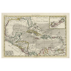
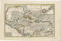
Original Engraving of the West Indies, Gulf of Mexico, Antilles, Caribbean, 1780

Original Engraving of the West Indies, Gulf of Mexico, Antilles, Caribbean, 1780

Located in Langweer, NL

Rigobert Bonne and G. Raynal's 1780 map of the West Indies, Gulf of Mexico, Antilles, and the Caribbean stands as a remarkable cartographic piece, offering a detailed and expansive v...

Category

Late 18th Century French Antique Maps

Materials

Paper

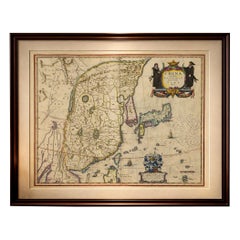
Antique Blaeu Map of China, Japan & Korea, Exotic Cartouches & Ships, c.1642

Antique Blaeu Map of China, Japan & Korea, Exotic Cartouches & Ships, c.1642

Located in Langweer, NL

Antique Blaeu Map of China, Japan & Korea, Exotic Cartouches & Ships, c.1642 A highly desirable and visually striking map of East Asia, centered on China and extending to Ko...

Category

Mid-17th Century Dutch Antique Maps

Materials

Paper

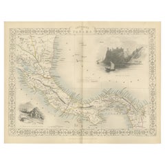
Crossroads of Empires: A John Tallis Map of the Isthmus of Panama, 1851

Crossroads of Empires: A John Tallis Map of the Isthmus of Panama, 1851

Located in Langweer, NL

The Tallis map of the Isthmus of Panama is a beautifully detailed work, characteristic of the maps produced by John Tallis & Company, which was one of the last cartographic firms to ...

Category

1850s Antique Maps

Materials

Paper

American Civil War “Seat of War” Map, Published Just After Bull Run, 1861

American Civil War “Seat of War” Map, Published Just After Bull Run, 1861

Located in Langweer, NL

American Civil War “Seat of War” Map, Published Just After Bull Run, 1861 Description: An important and highly detailed original map published at the outbreak of the American Civil ...

Category

Mid-19th Century British Victorian Antique Maps

Materials

Paper

Antique Map of the Peloponnese – Peloponnesus, Morea, by Cluver, ca.1697

Antique Map of the Peloponnese – Peloponnesus, Morea, by Cluver, ca.1697

Located in Langweer, NL

Hellas seu Graecia Universa is a finely detailed late-17th-century map of Greece and the Aegean world, issued by Philipp Cluver around 1697 (possibly 1694). The map was published in ...

Category

Late 17th Century German Antique Maps

Materials

Paper

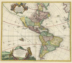
Antique Map of America with California as an Island by Homann '1710'

Antique Map of America with California as an Island by Homann '1710'

Located in Langweer, NL

This antique map, titled "Totius Americae Septentrionalis et Meridionalis," represents a significant cartographic piece from 1710 by Johann Baptist Homann. Here's a description of this remarkable map: - Title: Totius Americae Septentrionalis et Meridionalis (...) - Date: Published in 1710 by Johann Baptist Homann. Description: This map is a first edition of Johann Baptiste Homann's map of America, and it is notable for several cartographic features and historical representations: 1. California as an Island...

Category

Early 18th Century Antique Maps

Materials

Paper

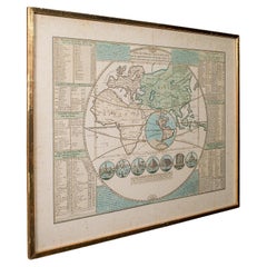
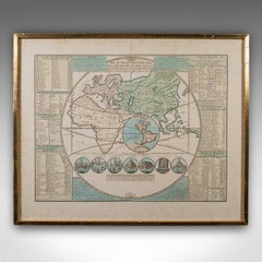
Antique Plan de l'Historie Universelle World Map, Framed Cartography, Circa 1730

Antique Plan de l'Historie Universelle World Map, Framed Cartography, Circa 1730

Located in Hele, Devon, GB

This is an antique Plan de l'Historie Universelle World Map. A Dutch, framed atlas engraving by Henri Abraham Chatelain, dating to the 18th century and later, circa 1730. Published...

Category

1730s Dutch George II Antique Maps

Materials

Glass, Paper

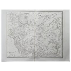
Original Antique Map of Iran By J.Dower. Unframed, Circa 1835

Original Antique Map of Iran By J.Dower. Unframed, Circa 1835

Located in St Annes, Lancashire

Great map of Iran Drawn and engraved by J.Dower Published by Orr & Smith. C.1835 Unframed. Free shipping

Category

1830s English Antique Maps

Materials

Paper

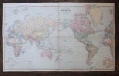
Large Original Antique Map of The World On Mercator's Projection. 1894

Large Original Antique Map of The World On Mercator's Projection. 1894

Located in St Annes, Lancashire

Superb Antique map of The World Published Edward Stanford, Charing Cross, London 1894 Original colour Good condition Unframed. Free shipping

Category

1890s English Antique Maps

Materials

Paper

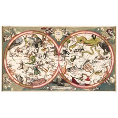
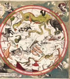
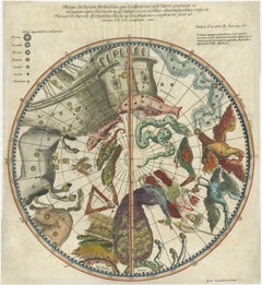
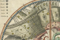
1711 Star Chart of Southern Sky with Mythical Constellations and Exotic Animals

1711 Star Chart of Southern Sky with Mythical Constellations and Exotic Animals

Located in Langweer, NL

1711 Star Chart of the Southern Sky - "Mappa Stellarum Australium quae in Altitudine Poli Borei Graduum" This beautiful star chart, engraved by Arnold van Westerhout in 1711, shows ...

Category

1710s Belgian Antique Maps

Materials

Paper

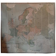
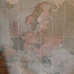
Large Wall Map of Europe by George Philip & Son, circa 1920

Large Wall Map of Europe by George Philip & Son, circa 1920

Located in Langweer, NL

Antique map titled 'Philips' New Commercial Map of Europe'. Very large wall map of Europe including the North African coast and Turkey. Decorative bord...

Category

Early 20th Century British Maps

Materials

Linen, Paper

Antique View of Syracuse, Sicily, Italy, 1837

Antique View of Syracuse, Sicily, Italy, 1837

Located in Langweer, NL

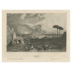
Antique print titled 'Syracus'. View of Syracuse, Sicily, Italy. Originates from 'Meyers Universum'. Artists and Engravers: Joseph Meyer (May 9, 1796 - June 27, 1856) was a Germa...

Category

1830s Antique Maps

Materials

Paper

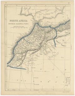
Antique Map of North Africa by Lowry '1852'

Antique Map of North Africa by Lowry '1852'

Located in Langweer, NL

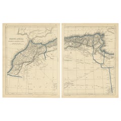
Antique map titled 'North Africa Marocco Algiers & Tunis'. Two individual sheets of North Africa. This map originates from 'Lowry's Table Atlas constructed and engraved from the most...

Category

Mid-19th Century Antique Maps

Materials

Paper

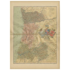
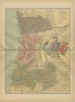
Douro: The River of Tradition and Wine in Portugal, 1903

Douro: The River of Tradition and Wine in Portugal, 1903

Located in Langweer, NL

The uploaded image is a historical map of the Beira Baixa region in Portugal. The map details the topography, including mountain ranges and river systems, as well as the transportati...

Category

Early 1900s Spanish Antique Maps

Materials

Paper

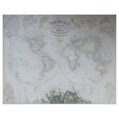
Large Original Antique Map of The World, Fullarton, C.1870

Large Original Antique Map of The World, Fullarton, C.1870

Located in St Annes, Lancashire

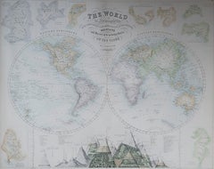
Great map of the World. Showing both hemispheres From the celebrated Royal Illustrated Atlas Lithograph. Original color. Published by Fullarton, Edinburgh, C.1870 Unframed. Rep...

Category

1870s Scottish Antique Maps

Materials

Paper

Antique 18th Century Map of the Province of Pensilvania 'Pennsylvania State'

Antique 18th Century Map of the Province of Pensilvania 'Pennsylvania State'

Located in Philadelphia, PA

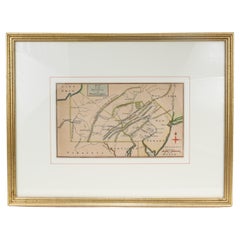
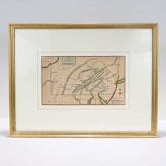
A fine antique of the colony of Pennsylvania. Noted at the top of the sheet as a 'Map of the province of Pensilvania'. This undated and anonymous map is thought to be from the Gentleman's Magazine, London, circa 1775, although the general appearance could date it to the 1760's. The southern boundary reflects the Mason-Dixon survey (1768), the western boundary is placed just west of Pittsburgh, and the northern boundary is not marked. The map has a number of reference points that likely refer to companion text and appear to be connected to boundaries. The western and southern boundaries are marked Q, R, S, for example. A diagonal line runs from the Susquehanna R to the Lake Erie P. A broken line marked by many letters A, B, N, O, etc., appears in the east. There are no latitude or longitude markings, blank verso. Framed in a shaped contemporary gilt wooden frame and matted under a cream colored matte. Bearing an old Graham Arader Gallery...

Category

18th Century British American Colonial Antique Maps

Materials

Paper

Antique Map of Wisconsin, The Badger State, Rand McNally, 1899

Antique Map of Wisconsin, The Badger State, Rand McNally, 1899

By Rand McNally & Co.

Located in Langweer, NL

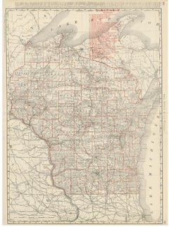
An original antique map of Wisconsin from the 1899 Rand McNally indexed atlas, this double-page sheet lays out the full state county by county, from the Lake Superior shore and the A...

Category

Late 19th Century American Late Victorian Antique Maps

Materials

Paper

Large Vintage Maps of the United States, in 3 Sections, 1920

Large Vintage Maps of the United States, in 3 Sections, 1920

Located in St Annes, Lancashire

Great maps of the USA in 3 sections Unframed Original color By John Bartholomew and Co. Edinburgh Geographical Institute Published, circa 1920 The measurements given is for just...

Category

1920s British Vintage Maps

Materials

Paper

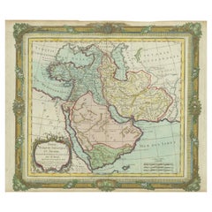
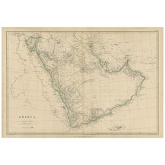
Arabia, Antique Map of the Arabian Peninsula, Blackie Atlas 1860

Arabia, Antique Map of the Arabian Peninsula, Blackie Atlas 1860

Located in Langweer, NL

Arabia, Antique Map of the Arabian Peninsula, Blackie Atlas 1860 Description: This original antique map titled Arabia presents a detailed mid-19th-century cartographic view of the A...

Category

Mid-19th Century British Antique Maps

Materials

Paper

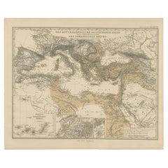
Mediterranean, Black Sea & Ottoman Empire Map 1853

Mediterranean, Black Sea & Ottoman Empire Map 1853

Located in Langweer, NL

Mediterranean, Black Sea & Ottoman Empire Map 1853 This impressive antique print shows the Mediterranean and Black Sea regions with a focus on the Ottoman Empire, titled “Das Mittel...

Category

Mid-19th Century German Antique Maps

Materials

Paper

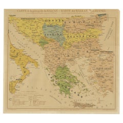
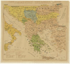
Old Map of the Balkans Incl Greece, Turkey, Serbia, Montenegro, Bulgaria, C.1900

Old Map of the Balkans Incl Greece, Turkey, Serbia, Montenegro, Bulgaria, C.1900

Located in Langweer, NL

Antique map titled 'Carte de la presqu-île du Balcan - Karte der Balkan Halbinsel'. Original antique map of the Balkans including Greece, Turkey, Serbia, Montenegro, Bulgaria and...

Category

Early 1900s Antique Maps

Materials

Paper

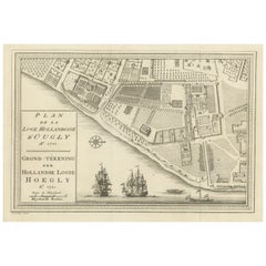
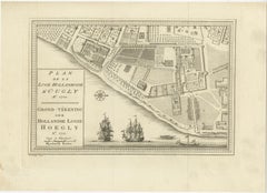
Original Antique Plan of the Dutch Settlement at Chinsura-Hooghly, India, 1746

Original Antique Plan of the Dutch Settlement at Chinsura-Hooghly, India, 1746

Located in Langweer, NL

Antique print, titled: 'Plan de la Loge Hollandoise d'Ougly'. A plan of the Dutch settlement at Chinsura-Hooghly, India. This print originates from Prevost's 'Histoire Generale d...

Category

1740s Dutch Antique Maps

Materials

Paper

Wood and resin Shoehorn an Backscratcher, France, 1960

Wood and resin Shoehorn an Backscratcher, France, 1960

Located in Auribeau sur Siagne, FR

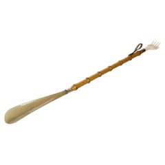
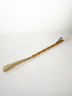
A vintage dual-function accessory comprising a shoehorn and backscraper, crafted from turned wood and resin, dating from the 1960s. The carved wooden handle features a series of deco...

Category

1960s French Mid-Century Modern Vintage Maps

Materials

Resin, Wood

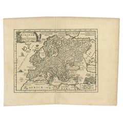
Antique Map of Celtic Europe by Cluver, 1678

Antique Map of Celtic Europe by Cluver, 1678

Located in Langweer, NL

Antique map Europe titled 'Europam sive Celticam Veterem'. Rare map of Celtic Europe. Made after A. Ortelius, originates from 'Introductionis in uni...

Category

17th Century Antique Maps

Materials

Paper

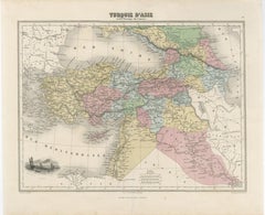
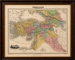
Turquie d’Asie et les Provinces du Caucase Map, Ottoman Empire 1873

Turquie d’Asie et les Provinces du Caucase Map, Ottoman Empire 1873

Located in Langweer, NL

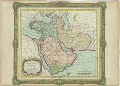
Turquie d’Asie et les Provinces du Caucase Map, Ottoman Empire 1873 A finely engraved and beautifully hand-colored French map titled “Turquie d’Asie et les Provinces du Caucase,” published in 1873. This elegant nineteenth-century map depicts the Ottoman territories of Asia Minor and the broader Near East, extending from Anatolia and the eastern Mediterranean to the Caucasus, Mesopotamia, Syria, Armenia, Kurdistan, and parts of Persia. The map is executed in the refined French cartographic style of the later nineteenth century, combining delicate engraving with soft original hand coloring that distinguishes provinces and administrative regions across the Ottoman Empire and neighboring territories. The visual balance between the pale pastel tones and the intricate geographic detail gives the sheet a sophisticated decorative quality highly suitable for framing. Asia Minor and Anatolia dominate the composition, while important historic and strategic cities including Constantinople, Smyrna, Trebizond, Aleppo, Damascus, Mosul, Baghdad, and Tiflis are carefully identified. The Caucasus region is shown in remarkable detail, reflecting the growing geopolitical importance of Armenia, Georgia, Circassia, and the Russian frontier during this period. Mountain systems, rivers, caravan routes, and coastal geography are elegantly rendered throughout. A particularly attractive feature is the vignette at lower left depicting vessels on the Nile near Egypt, adding a subtle romantic element to the otherwise scholarly composition. The Mediterranean, Black Sea, and Persian frontier frame the map beautifully and reinforce its broad geographic scope connecting Europe, the Levant, Arabia, and Central Asia. This map strongly appeals to collectors interested in Ottoman history, Middle Eastern cartography, the Caucasus, Armenia, and nineteenth-century European views of the Near East. It also works exceptionally well as a decorative statement piece in interiors inspired by travel, archaeology, orientalism, or classical libraries. The map displays beautifully in a dark walnut, ebonized, or gilt frame with a wide ivory mat, where the soft hand coloring and elegant typography become especially striking. Condition: Good antique condition with age-related toning and occasional light foxing. Original center fold as issued. Minor handling wear and faint discoloration consistent with age. Please study image carefully. Special note: This is an original antique map, not a reproduction. All items we offer are authentic period works of art over 100 years old. The piece is sold unframed; any framed images are shown for presentation and interior inspiration only and may not always be to scale. Keywords: Ottoman Empire map, Turquie d’Asie, Asia Minor map, Caucasus map...

Category

Mid-19th Century French Antique Maps
Materials

Paper

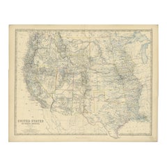
1874 Map of Western United States – Detailed Atlas by Keith Johnston

1874 Map of Western United States – Detailed Atlas by Keith Johnston

Located in Langweer, NL

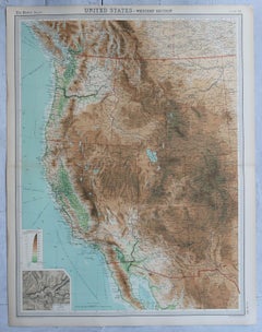
1874 Map of Western United States by Keith Johnston – Detailed Atlas This is an original antique map titled “United States of North America (Western States)” by Alexander Keith John...

Category

1870s Scottish Antique Maps
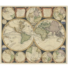
Materials

Paper

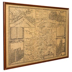
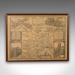
Vintage County Map, Middlesex, English, Framed 16th Century Print, John Norden

Vintage County Map, Middlesex, English, Framed 16th Century Print, John Norden

Located in Hele, Devon, GB

This is a vintage county map of Middlesex. An English, framed reproduction of the 16th century original by John Norden, dating to the late 20th century, circa 1980. A fascinating rec...

Category

1980s British Elizabethan Vintage Maps

Materials

Glass, Paper

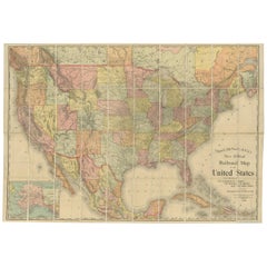
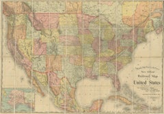
Antique Railroad Map of the United States by Rand, McNally & Co, 1900

Antique Railroad Map of the United States by Rand, McNally & Co, 1900

Located in Langweer, NL

Antique map titled 'Rand, McNally & Co's New Official Railroad map of the United States with portions of The Dominion of Canada, The Republic of Mexico and the West Indies'. Large railroad map of the United States, sectionalised and laid on linen. Map shows state boundaries for the United States, Mexico, the West Indies, and lower portion of Canada; major cities and towns, military posts, Native American reservations, and railroads; Oklahoma and "Indian Territory." Inset: "Map of Alaska...

Category

20th Century Maps

Materials

Linen, Paper

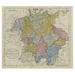
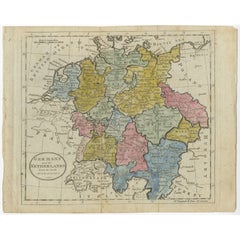
Antique Map of Germany, the Netherlands, Bohemia, Bavaria and Switzerland, 1785

Antique Map of Germany, the Netherlands, Bohemia, Bavaria and Switzerland, 1785

Located in Langweer, NL

Antique map titled 'Germany and the Netherlands from the latest authorities'. Depicts Germany, the Netherlands and the surrounding region including Bohemia, Bavaria, and Switzerland....

Category

18th Century Antique Maps
Materials

Paper

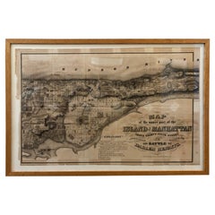
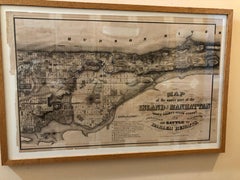
1868 Map of the Upper Part of the Island of Manhattan Above 86th Street

1868 Map of the Upper Part of the Island of Manhattan Above 86th Street

By Wm. Rogers Mfg. Co.

Located in San Francisco, CA

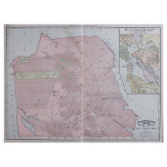
This wonderful piece of New York City history is over 150 years old. It depicts 86th street and above. It was lithographed by WC Rogers and company. It was made to show what was the Battle of Harlem during the Revolutionary war...

Category

1860s American American Colonial Antique Maps
Materials

Paper

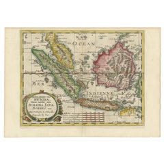
Antique Map of the Sunda Islands Including Sumatra, Java, and Borneo, 1705

Antique Map of the Sunda Islands Including Sumatra, Java, and Borneo, 1705

Located in Langweer, NL

Title: “Antique Map of the Sunda Islands Including Sumatra, Java, and Borneo” This print is a beautifully detailed and relatively rare map of Western Indonesia, encompassing the reg...

Category

Early 1700s Antique Maps
Materials

Paper

Levant in Antiquity: Lands of Phoenicia, Judea, and Neighboring Kingdoms, 1880

Levant in Antiquity: Lands of Phoenicia, Judea, and Neighboring Kingdoms, 1880

Located in Langweer, NL

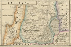
The map is titled "PHOENICE, COELESYRIA, IDUMAEA, JUDAEA MACCABAEORUM TEMPORE," which translates to "Phoenicia, Coele-Syria, Idumea, Judea at the Time of the Maccabees." This origi...

Category

1880s Antique Maps
Materials

Paper

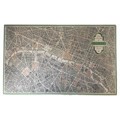
Vintage "View of the Center of Paris Taken from the Air" Lithograph Map

Vintage "View of the Center of Paris Taken from the Air" Lithograph Map

Located in San Diego, CA

A very stylish "View of the Center of Paris Taken from the Air" lithograph map published by the Paris Ministry of Tourism, circa early 1950s. The piece measures 27" x 43" and shows...

Category

20th Century French Mid-Century Modern Maps

Materials

Paper

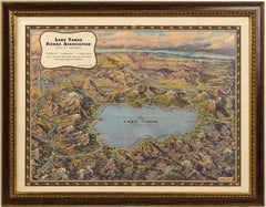
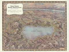
Vintage Lake Tahoe Bird’s-Eye View Pictorial Map by Gerald A. Eddy, circa 1945

Vintage Lake Tahoe Bird’s-Eye View Pictorial Map by Gerald A. Eddy, circa 1945

Located in Langweer, NL

Vintage Lake Tahoe Bird’s-Eye View Pictorial Map by Gerald A. Eddy, circa 1945 DESCRIPTION: Original vintage pictorial map of Lake Tahoe and the surrounding Sierra Nevada, painted b...

Category

Mid-20th Century American Mid-Century Modern Maps

Materials

Paper

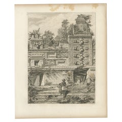
Antique Print of a Ruin in Peru, South America, 1857

Antique Print of a Ruin in Peru, South America, 1857

Located in Langweer, NL

Untitled print of a ruin in Peru. This print originates from 'Die Kunstwerke vom Alterthum bis auf die Gegenwart, oder, Wegweiser durch das ganze Gebiet der bildenden Kunst : enthalt...

Category

19th Century Antique Maps
Materials

Paper

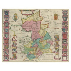
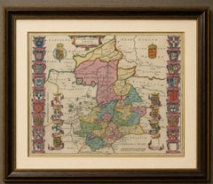
Antique Map of Cambridgeshire & Cambridge by Joan Blaeu, Hand-Colored, 1645

Antique Map of Cambridgeshire & Cambridge by Joan Blaeu, Hand-Colored, 1645

Located in Langweer, NL

TITLE: Antique Map of Cambridgeshire & Cambridge by Joan Blaeu, Hand-Colored, 1645 DESCRIPTION: A highly decorative 17th-century map of Cambridgeshire by the great Dutch cartographer Joan Blaeu, one of the leading mapmakers of the Dutch Golden Age. Titled “Cantabrigiensis Comitatus, Cambridge Shire,” the engraving presents Cambridge, Ely, Newmarket, Wisbech and the surrounding fenland in remarkable detail. The map is especially attractive for its extensive heraldic decoration and its historic depiction of the Isle of Ely before the fenland landscape was fully transformed by later drainage. Rich contemporary hand-coloring, heightened with gilt, further enhances the elaborate coats of arms and beautifully engraved county boundaries. At the centre of the county lies Cambridge, already renowned throughout Europe for its university. The decorative borders incorporate numerous heraldic arms associated with Cambridge and its historic colleges, including King’s College, Trinity Hall, Pembroke Hall, Corpus Christi College and St John’s College. These colorful armorial panels make the map particularly appealing for collectors with a connection to Cambridge, its university or the long history of learning associated with the city. To the north, Blaeu prominently marks “The Ile of Ely,” reflecting Ely’s distinctive position within the historic fenland landscape. Before the great drainage schemes transformed this part of eastern England, Ely rose above extensive surrounding wetlands, giving rise to its traditional description as an island. Nearby places including Wisbech, Littleport, Soham and Stretham preserve the geography of this low-lying country of rivers, marshes and causeways. The map also records Huntingdon, St Ives, St Neots, Peterborough and Newmarket. Newmarket Heath is clearly identified to the southeast, an interesting early reference to the area that would become internationally famous for horse racing. One of the pleasures of this antique map is its combination of recognizable modern locations with historic place-name forms. The Latinized title, elaborate heraldry, finely engraved settlements and strong original coloring give the sheet both considerable historical interest and exceptional decorative appeal. An excellent example of Blaeu’s celebrated English county cartography and an impressive original antique map for a library, study, university collection or sophisticated interior. ARTIST / MAKER: Joan Blaeu (1596–1673) DATE: Circa 1645 ORIGIN: Amsterdam, Dutch Republic MEDIUM: Copper engraving with contemporary hand-coloring, heightened with gilt, on paper DIMENSIONS: Approximately 42 × 52.5 cm (16.5 × 20.7 in.) STYLE / PERIOD: Baroque, Dutch Golden Age, 17th Century CONDITION: Good antique condition with expected minor signs of age and handling. Bright and attractive contemporary hand-coloring, partly highlighted with gold. Latin text on verso. FRAME / PRESENTATION: Unframed. Any framed or interior images shown are for presentation and inspiration only. PROVENANCE / REFERENCES: Published in Amsterdam in Joan Blaeu’s celebrated 17th-century atlas tradition. Latin text on verso. KEYWORDS: Joan Blaeu, Cambridgeshire map, Cambridge map...

Category

Mid-17th Century Dutch Baroque Antique Maps
Materials

Paper

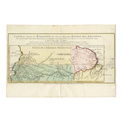
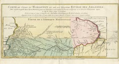
Map of the Amazon River's Course and Surrounding Regions (1743-1744)

Map of the Amazon River's Course and Surrounding Regions (1743-1744)

Located in Langweer, NL

This original antique map, titled "Carte du Cours du Maragnon ou de la Grande Riviere des Amazones," illustrates the course of the Amazon River (referred to here as the Maragnon) fro...

Category

1750s Antique Maps
Materials
Paper