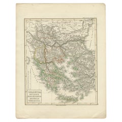
Items Similar to Map of Ancient Greece of Macedonia and... - Lithograph by Auguste Wahlen - 1844


Want more images or videos?
Request additional images or videos from the seller
1 of 2
Auguste WahlenMap of Ancient Greece of Macedonia and... - Lithograph by Auguste Wahlen - 18441844
1844
$359.34
£268.79
€300
CA$495.16
A$544.30
CHF 285.75
MX$6,472.09
NOK 3,669.73
SEK 3,342.72
DKK 2,286.31
About the Item
Map of Ancient Greece of Macedonia and Thrace is a lithograph made by Auguste Wahlen in 1844.
Hand colored.
Good condition.
Bottom left is the original title "Carta della Grecia Antica della Macedonia e della Tracia".
The work is part of Suite Moeurs, usages et costumes de tous les peuples du monde, d'après des documents authentiques et les voyages les plus rècents.
- Creator:Auguste Wahlen
- Creation Year:1844
- Dimensions:Height: 9.85 in (25 cm)Width: 6.7 in (17 cm)Depth: 0.04 in (1 mm)
- Medium:
- Movement & Style:
- Period:
- Framing:Framing Options Available
- Condition:Insurance may be requested by customers as additional service, contact us for more information.
- Gallery Location:Roma, IT
- Reference Number:Seller: T-1440001stDibs: LU650313634982
About the Seller
4.9
Platinum Seller
Premium sellers with a 4.7+ rating and 24-hour response times
1stDibs seller since 2017
7,858 sales on 1stDibs
Typical response time: 1 hour
- ShippingRetrieving quote...Shipping from: Grasse, France
- Return Policy
More From This Seller
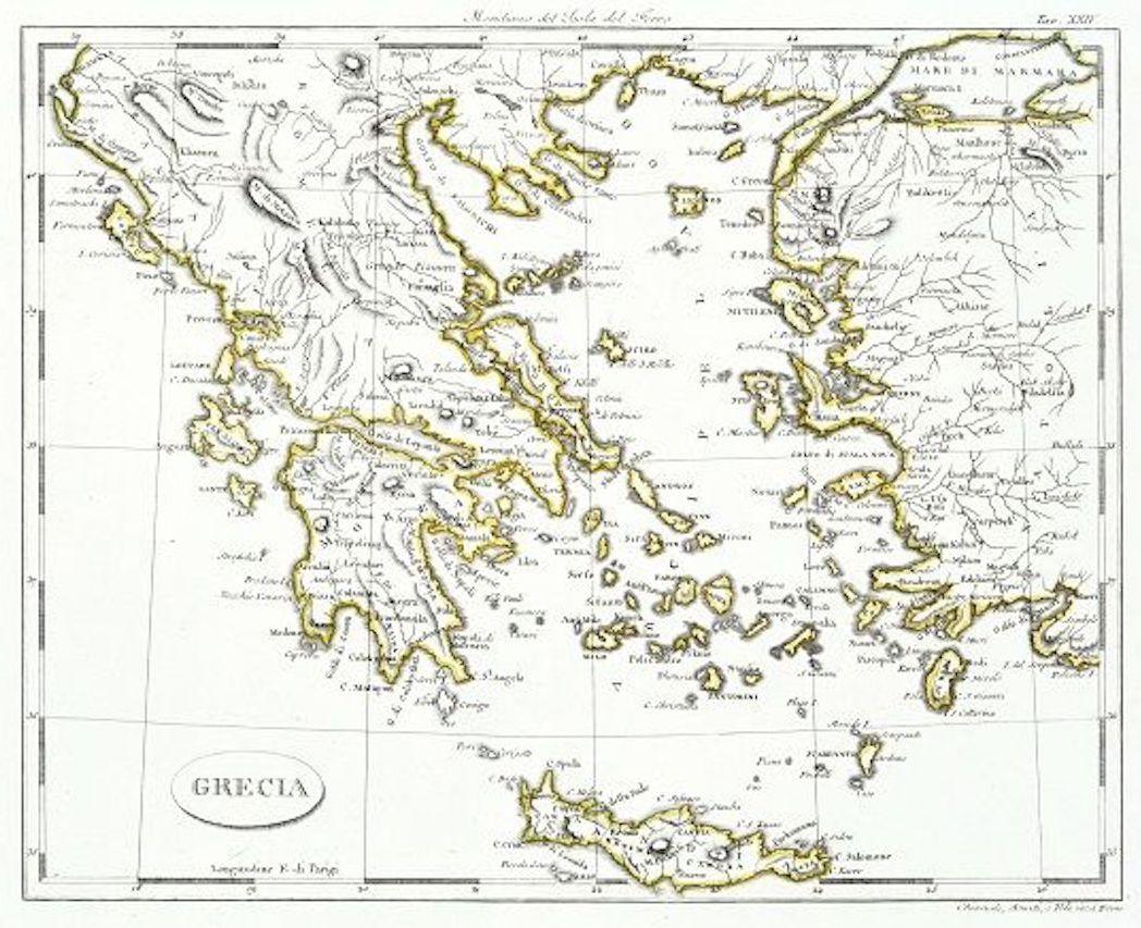
View AllMap of Greece - Etching on Paper 19th Century
Located in Roma, IT
Image dimensions: 22.2 x 27.8 cm.
Grecia is an interesting hand-colored etching on paper, realized by an anonymous artist in the first half of the XIX century.
With the inscriptions in Italian, this original print describes the geography of Greece with the great charisma of the antique maps.
In very good conditions, except for a usual yellowing of the paper at the edges and minor defects and signs of the time, and some light yellow strips...
Category
19th Century Modern Figurative Prints
Materials
Etching

Map of Ancient Greece - Original Etching by Antonio Zatta - 1785
Located in Roma, IT
This Map of ancient Greek is an etching realized by Antonio Zatta in Venice in 1785.
The state of preservation of the artwork is good expect for the worn paper.
Mounted on a cardbo...
Category
1770s Landscape Prints
Materials
Etching

Antique Map - Map of Greece - Etching by Johannes Janssonius - 1650s
By Johannes Janssonius
Located in Roma, IT
Antique Map of Greece - Graecia Vniversa is an antique map realized in 1650 by Johannes Janssonius (1588-1664).
The Map is Hand-colored etching, with coeval watercoloring.
Good co...
Category
1650s Modern Figurative Prints
Materials
Etching

Map of Greece - Original Etching by Antonio Zatta - 18th Century
Located in Roma, IT
This Map of Greece is an etching realized by Antonio Zatta, Cartographer, publisher and typographer.
The state of preservation of the artwork is good except for the worn paper and t...
Category
1780s Figurative Prints
Materials
Etching

Map of Eastern Roman Empire -Vintage Offset Print - Early 20th Century
Located in Roma, IT
This map of Eastern Roman Empire is a vintage offset print realized in the early 20th Century.
The state of preservation of the artwork is aged with dif...
Category
Early 20th Century Figurative Prints
Materials
Offset

Ancient Map - Macedonia - Etching by Johannes Janssonius - 1650s
By Johannes Janssonius
Located in Roma, IT
Macedonia is an ancient map realized in 1650 by Johannes Janssonius (1588-1664).
The Map is Hand-colored etching, with coeval watercoloring.
Good condit...
Category
1650s Modern Figurative Prints
Materials
Etching

You May Also Like
Antique Map of Greece by Lapie, 1842
Located in Langweer, NL
Antique map titled 'Carte de la Grèce Ancienne'. Map of Greece. This map originates from 'Atlas universel de géographie ancienne et moderne (..)' by Pier...
Category
Antique Mid-19th Century Maps
Materials
Paper

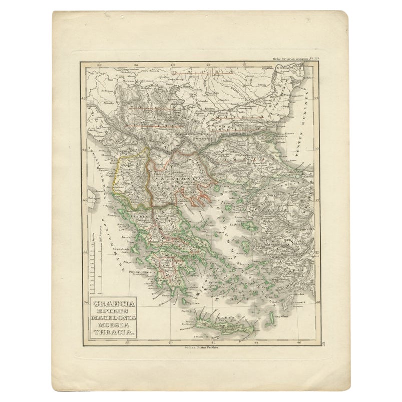
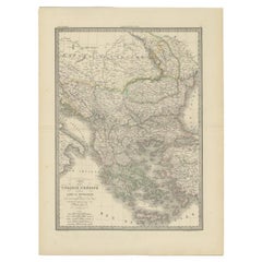
Antique Map of Greece and Macedonia, 1848
Located in Langweer, NL
Antique map titled 'Graecia Epirus Macedonia Moesia Thracia'. Old map of Greece originating from 'Orbis Terrarum Antiquus in usum Scholarum'. Artists and Engravers: Published by Just...
Category
Antique 19th Century Maps
Materials
Paper
Antique Map of Turkey and Greece, 1852
Located in Langweer, NL
Antique map titled 'Europisch Turkije en Griekenland'. Map of Turkey in Europe and Greece. This map originates from 'School-Atlas van alle deelen der Aar...
Category
Antique 19th Century Maps
Materials
Paper

$114 Sale Price
20% Off
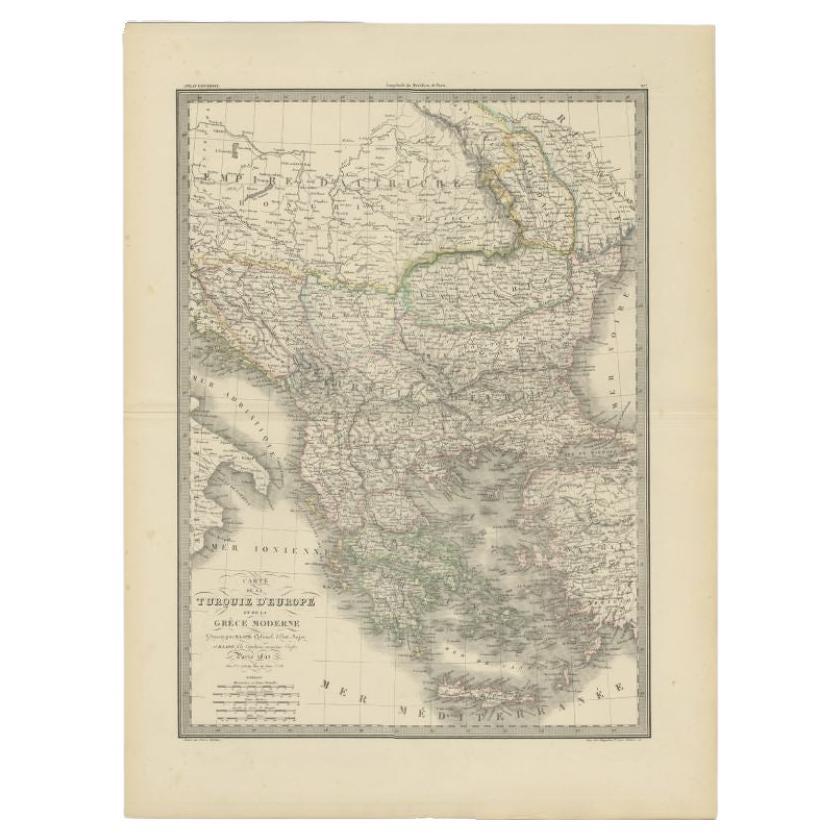
Antique Map of Turkey and Greece, 1842
By Pierre M. Lapie
Located in Langweer, NL
Antique map titled 'Carte de la Turquie d'Europe et de la Grèce Moderne'. Map of Turkey and Greece. This map originates from 'Atlas universel de géographie ancienne et moderne (..)' ...
Category
Antique 19th Century Maps
Materials
Paper
$237 Sale Price
43% Off
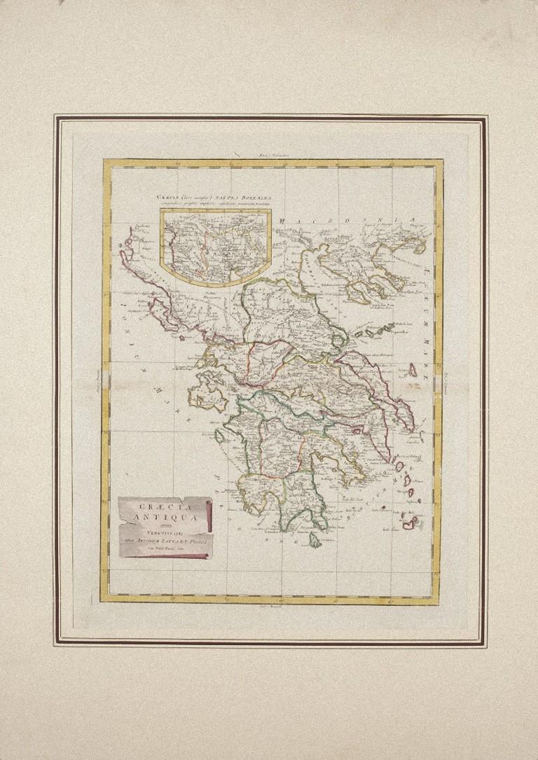
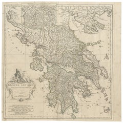
Large Scale Map of Greece, Extending to Cythera with Inset of Macedonia, ca.1786
Located in Langweer, NL
Antique map titled 'Graeciae Antiquae'.
Large scale map of Greece, extends south to the island of Cythera. Inset map shows details of Macedonia. Pu...
Category
Antique 1780s Maps
Materials
Paper
$594 Sale Price
20% Off
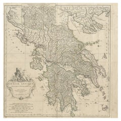
Large Scale Map of Greece with Inset Map of Macedonia, c.1786
Located in Langweer, NL
Antique map titled 'Graeciae Antiquae'. Large scale map of Greece, extends south to the island of Cythera. Inset map shows details of Macedonia. Publis...
Category
Antique 18th Century Maps
Materials
Paper
More Ways To Browse
Ancient Greece
Ancient Greek Art
Map Greece
Antique Maps Of Greece
Antique Macedonia
Map Of Ancient Greece
Salvador Dali Numbered Prints
Salvador Dali Song Songs Of Solomons
Saul Steinberg Galerie Maeght
Takashi Murakami Panda
The Accordion Player
Tiepolo Etching
Toulouse Lautrec Elles
Utagawa Kunisada (Toyokuni III) On Sale
Van Dyck Etching
Vaso Antico
Vintage Bus Stop Sign
Vintage Television Cameras