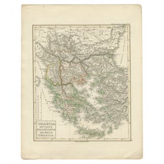
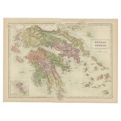
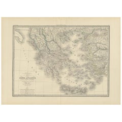
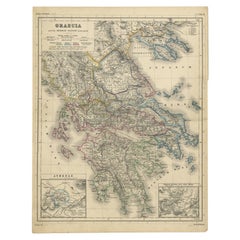
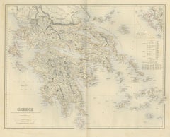
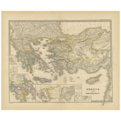
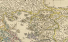
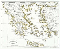
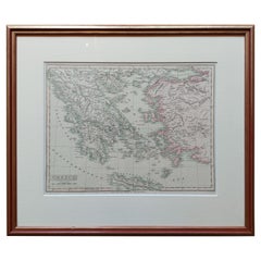
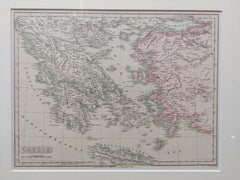
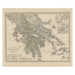
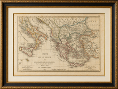
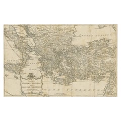
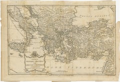
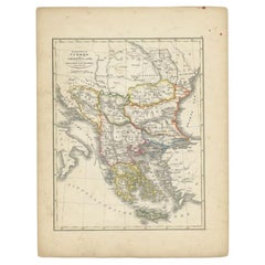
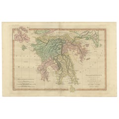
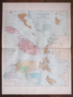
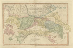
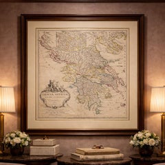
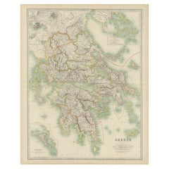
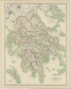
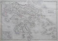
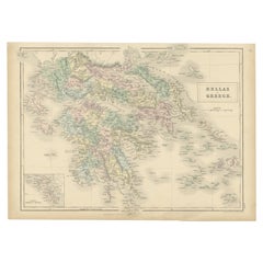
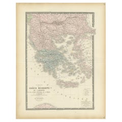
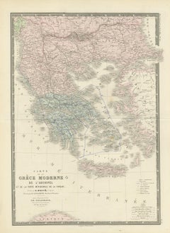
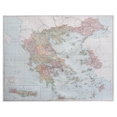
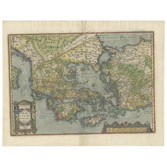
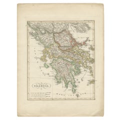
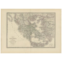
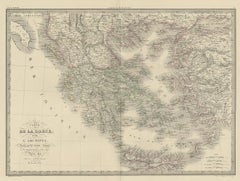
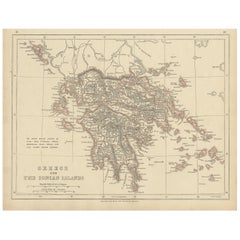
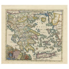
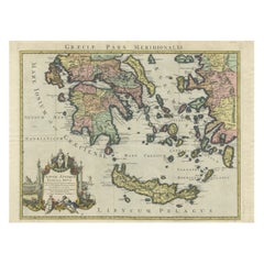
Original Antique Map of Greece, Grattan and Gilbert, 1843
Located in St Annes, Lancashire
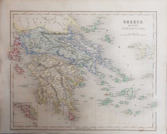
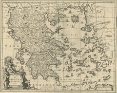
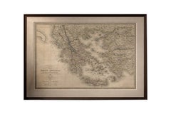
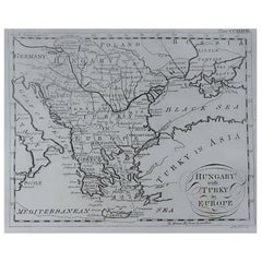
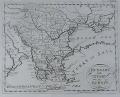
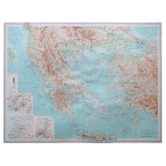
Great map of Greece Drawn and engraved by J.Archer Published by Grattan and Gilbert. 1843 Original colour Unframed.
1840s English Antique Maps Of Greece
Paper
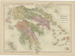
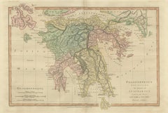
Original Antique Map of Greece, Grattan and Gilbert, 1843
Located in St Annes, Lancashire
Great map of Greece Drawn and engraved by J.Archer Published by Grattan and Gilbert. 1843 Original colour Unframed.
Paper
$348Sale Price|20% Off
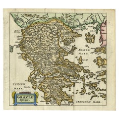
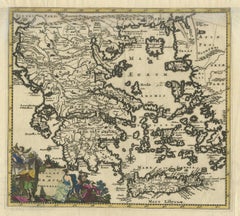
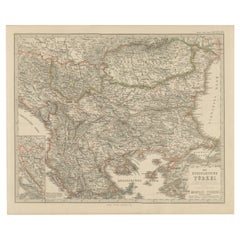
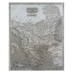
Original Antique Map of Greece and part of Turkey
Located in Langweer, NL
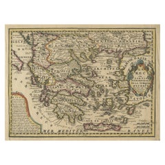
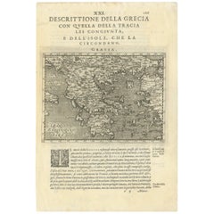
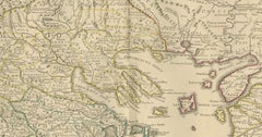
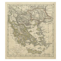
Small map of Greece and part of Turkey. This map originates from 'Le nouveau et curieux Atlas Geographique et historique' by Jacques Chiquet.
Paper
$321Sale Price|20% Off
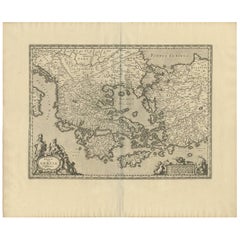
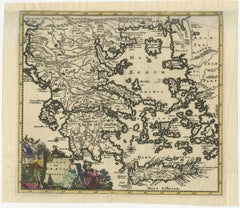
Antique Map of Greece by Keizer & de Lat, 1788
Located in Langweer, NL
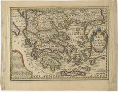
Uncommon original antique map of Greece. This map originates from 'Nieuwe Natuur- Geschied- en Handelkundige Zak- en Reisatlas' by Gerrit Brender à Brandis.
Paper
$632Sale Price|35% Off
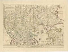
Antique Map of Greece by Seutter or Lotter, 'c.1740'
Located in Langweer, NL
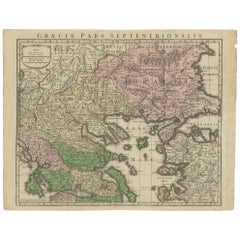
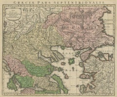
Antique map titled 'Graecia pars Septentrionalis'. Original antique map of Greece, uncommon.
Paper
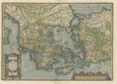
Rare Original 16th Century Antique Map of Greece, 1598
Located in Langweer, NL
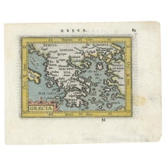
Beautiful and rare antique map of Greece with Albania, Mecedonia, Romania, Dalmatia and the peninsula of Salento to the Golf of Taranto.
Paper
Antique Map of Greece and Macedonia, 1848
Located in Langweer, NL
Old map of Greece originating from 'Orbis Terrarum Antiquus in usum Scholarum'.
Paper
$807Sale Price|20% Off
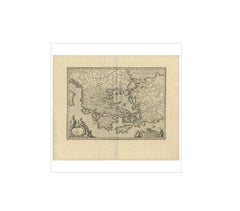
Antique Map of Greece by J. Jansson, circa 1653
Located in Langweer, NL
This is an authentic antique map of the Greece by Jan Jansson. The map was published in Amsterdam, circa 1653.
Paper
Antique 1698 Map of Greece by Carolus Allard, Late 17th Century
Located in Langweer, NL
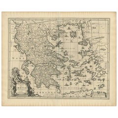
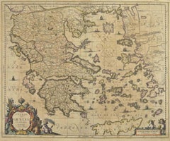
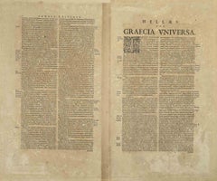
Antique map titled 'Hellas seu Graecia Universa' Detailed map of Greece, with Crete, the Aegean Islands, and part of Turkey.
Paper
$155Sale Price|20% Off
Antique Map of Greece and Its Colonies, with Frame Style Border
Located in Langweer, NL
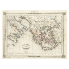
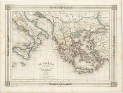
Antique map titled 'La Grèce'. Attractive map of Greece and its Colonies.
Paper
$160Sale Price|20% Off
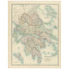
Antique Map of Greece and Ionian Islands by A & C. Black, 1870
Located in Langweer, NL
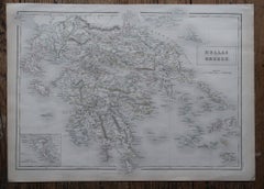
Antique map titled 'Hellas or Greece'. Original antique map of Greece and Ionian Islands with inset map of Corfu.
Paper
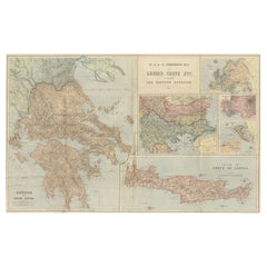
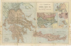
Johnston Map of Greece & Crete 1897 – The Eastern Question Antique Map
Located in Langweer, NL
Here’s a catalogue entry for your **Johnston map of Greece and Crete**: --- **Main Title** Antique Map of Greece & Crete – Johnston’s Eastern Question Map, 1887 **SEO Alternative ...
Paper
$458Sale Price|20% Off
Antique 1842 Map of Greece by Pierre M. Lapie, Mid-19th Century
Located in Langweer, NL
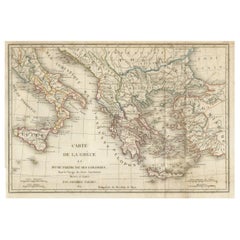
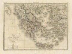
Antique map titled 'Carte de la Grèce Ancienne'. Map of Greece.
Paper
$632Sale Price|20% Off
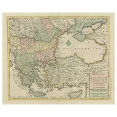
Antique Map of Greece, Turkey and surroundings with original coloring
Located in Langweer, NL
Antique map of Greece with Crete and Cyprus, Turkey and the Black Sea.
Paper
Charming 18th Century Miniature Map of Greece, 1685
Located in Langweer, NL
Antique map titled 'Graeciae Descriptio.' Charming miniature map of Greece from the pocket atlas 'Introductionis in Universam Geographiam tam Veterem quam novam ..
Paper
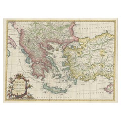
Large Scale Map of Greece with Inset Map of Macedonia, c.1786
Located in Langweer, NL
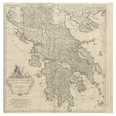
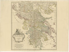
Antique map titled 'Graeciae Antiquae'. Large scale map of Greece, extends south to the island of Cythera.
Paper
Antique Map of Greece from an Old French School Atlas, 1880
Located in Langweer, NL
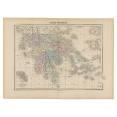
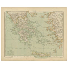
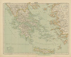
Antique map titled 'Grèce Moderne '. Old map of Greece and surroundings.
Paper
Antique Map of Greece with Two Small Inset Maps of Athens, c.1870
Located in Langweer, NL
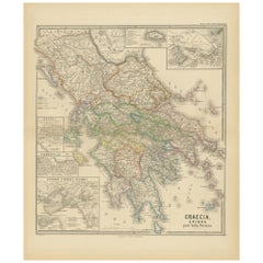
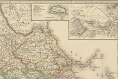
Antique map titled 'Graecia'. Old map of Greece with two small inset maps of Athens.
Paper
Antique Map of Greece and the Mediterranean by Hachette & Cie, '1896'
Located in Langweer, NL
Antique map of Greece titled 'Grèce'. Old map of Greece and other parts of the Mediterranean including Crete and the Ionian Islands.
Paper
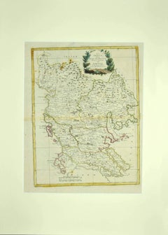
Map of Greece - Etching by Antonio Zatta - 18th Century
By Antonio Zatta 1
Located in Roma, IT
This Map of Greece is an etching realized by Antonio Zatta, Cartographer, publisher and typographer.
Etching
Antique Map of Greece with the Morea, Negropont and Kephalonia, 1858
Located in Langweer, NL
An original antique map of Greece, a steel engraving colored by hand in outline, with a pale blue wash along the coasts.
Paper
Antique Map of Greece and the Cyclades, 1903, with Many Details and Inset Maps
Located in Langweer, NL
Title: Antique Map of Greece and the Cyclades, 1903, with Intricate Detail and Inset Maps Description: This antique map, titled "Greece with Its Islands, Including the Cyclades," wa...
Paper
$2,981
Antique Map - Map of Greece - Etching by Johannes Janssonius - 1650s
By Johannes Janssonius
Located in Roma, IT
Antique Map of Greece - Graecia Vniversa is an antique map realized in 1650 by Johannes Janssonius (1588-1664).
Etching
Antique Map of Greece, Albania, Macedonia and Parts of Turkey and Cyprus, c.1745
Located in Langweer, NL
Detailed map of Greece. Includes Albania, Macedonia and parts of Turkey and Cyprus.
Paper
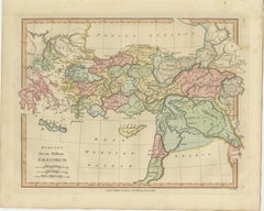
Classical World Map of Greece, Asia Minor & Levant, Wilkinson Atlas 1817
Located in Langweer, NL
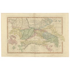
Classical World Map Greece Asia Minor & Levant, Wilkinson Atlas 1817 This finely engraved and delicately hand-colored map of the ancient Greek world and surrounding regions was publ...
Paper
Antique Map of Greece with the Northern Ionian Islands Inset, circa 1860
Located in Langweer, NL
Three scale bars give geographical miles, new Greek miles and new Greek stadia to the degree.
Paper
Original Antique Map of Greece and Epirus after the Persian Wars, Published 1880
Located in Langweer, NL
The map titled "GRAECIA, EPIRUS post bella Persica," translates to "Greece and Epirus after the Persian Wars."
Paper
Original Map of Greece at the Time of the Dorian Migration, Published in 1880
Located in Langweer, NL
The map titled "GRAECIA TEMPORI MIGRATIONIS DORICAE," translates to "Greece at the Time of the Dorian Migration."
Paper
Map of Greece - Etching on Paper 19th Century
Located in Roma, IT
With the inscriptions in Italian, this original print describes the geography of Greece with the great charisma of the antique maps.
Etching
Original Antique Map in Frame of Greece by Smith '1818'
Located in Langweer, NL
Nicely framed map titled 'Greece'. Original antique map of Greece published by C.
Paper
$56Sale Price|41% Off
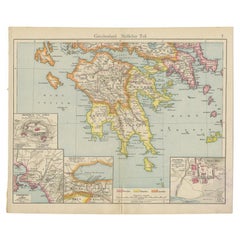
Antique Map of Southern Greece, 1892
Located in Langweer, NL
Antique map of Greece titled 'Griechenland. Südlicher Theil'.
Paper
Greece Map – Kingdom of Greece and Ionian Islands 1847
Located in Langweer, NL
Greece Map – Kingdom of Greece and Ionian Islands 1847 This elegant antique print shows the Kingdom of Greece titled “Königreich Griechenland und die Ionischen Inseln” meaning “King...
Paper
Greece, "Graeciae Antiquae"" A 17th Century Hand-colored Map by Sanson
By Nicolas Sanson
Located in Alamo, CA
This is an original 17th century hand colored copperplate engraved map of Greece entitled "Graeciae Antiquae Tabula Hanc Geographicam" by Nicolas d'Abbeville Sanson, engraved and pub...
Paper
Early, Rare and Small Hand-Coloured Copper Engraving of Greece, ca. 1602
Located in Langweer, NL
Attractive minature map of Greece or 'Graecia" Maker/Publisher: A.
Paper
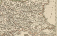
Small Antique Map of the European Turkey, Greece & Ionian Islands – c.1860
Located in Langweer, NL
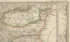
Avoid glue; use archival corners or hinges for reversibility. Keywords: antique map Greece, Ottoman Empire map, European Turkey map, Ionian Islands, 19th century map, Stieler map, B...
Paper
Greece 1660 Jan Jansson Watercolour Map Peloponesus Sive Morea I Laurenbergio
Located in West Sussex, Pulborough
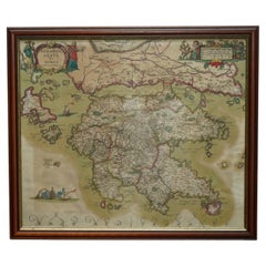
We are delighted to offer for sale this Jan Jansson Date: 1660 (published) Amsterdam map of Greece. This is an authentic antique map of Peloponnese or the Morea peninsula by Jan J...
Copper
Antique Classical Greece Map – Aegean Sea & Crete, ca.1697
Located in Langweer, NL
Hellas seu Graecia Universa is a finely detailed late-17th-century map of Greece and the Aegean world, issued by Philipp Cluver around 1697 (possibly 1694).
Paper
Antique Map of the Mediterranean & Greek Archipelago, Blackie, circa 1860
Located in Langweer, NL
Antique Map of the Mediterranean & Greek Archipelago, Blackie, circa 1860 This finely detailed antique map depicts the shores of the Mediterranean Sea and the Greek Archipelago, pre...
Paper
Antique Map of Asia Minor by Pluche, Concorde de la Geographie, circa 1765
Located in Langweer, NL
It is an appealing map for anyone who loves the classical world, the early Church or the history of Turkey, and it would make a handsome framed companion to maps of Greece or the Hol...
Paper
Antique Map of the Peloponnese – Peloponnesus, Morea, by Cluver, ca.1697
Located in Langweer, NL
Hellas seu Graecia Universa is a finely detailed late-17th-century map of Greece and the Aegean world, issued by Philipp Cluver around 1697 (possibly 1694).
Paper
Original Antique Map of Ancient Greece & Greek Colonies - Tardieu, 1825
Located in Langweer, NL
The map depicts the geography of the ancient Greek world and its colonies throughout the Mediterranean.
Paper
$164Sale Price|20% Off
Antique Map of the Ancient Greek Colonization
Located in Langweer, NL
Original antique map of the ancient Greek colonization. Frontispiece map of 'The History of Ancient Greece, Its Colonies, and Conquests From the Earliest Accounts Till the Division o...
Paper
$110Sale Price|20% Off
Antique Map of Turkey and Greece, 1852
Located in Langweer, NL
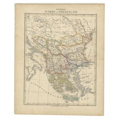
Antique map titled 'Europisch Turkije en Griekenland'. Map of Turkey in Europe and Greece.
Paper
Peloponnesus Classical Map — Travels of Anacharsis Greece, Wilkinson c1818
Located in Langweer, NL
Peloponnesus Classical Map — Travels of Anacharsis Greece, Wilkinson c1818 A finely engraved and hand-colored classical map of the Peloponnesus, published in London by Robert Wilkin...
Paper
Large Original Antique Map of The Greek Islands. 1894
Located in St Annes, Lancashire
Superb Antique map of The Greek Islands Published Edward Stanford, Charing Cross, London 1894 Original colour Good condition Unframed.
Paper
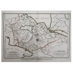
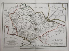
Original Antique Map of Ancient Greece- Boeotia, Thebes, 1787
Located in St Annes, Lancashire
Great map of Ancient Greece. Showing the region of Boeotia, including Thebes Drawn by J.D.
Paper
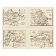
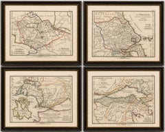
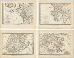
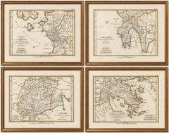
Set of Four Ancient Greece Maps by Ambroise Tardieu, 1825
Located in Langweer, NL
Title: Set of Four Ancient Greece Maps by Ambroise Tardieu, 1825 Description: Set of four original antique engraved and hand-coloured maps of ancient Greece, engraved by Ambroise T...
Paper
Antique Map of Ancient Greece, Mediterranean Balkans, Lapie Tardieu 1838
Located in Langweer, NL
Particularly effective in a study, library, or as part of a curated gallery wall of historical or classical-themed works. Keywords: antique Greece map, Ancient Greece map, Lapie atl...
Paper
Ancient Achaia Map — Travels of Anacharsis Classical Greece, Wilkinson 1818
Located in Langweer, NL
Ancient Achaia Map — Travels of Anacharsis Classical Greece, Wilkinson 1818 A finely engraved and hand-colored classical map depicting Achaia and central Greece, published in London...
Paper
Antique Map of European Turkey and Greece, Copperplate Engraving, 1857
Located in Langweer, NL
European Turkey and Greece Map – Balkans and Ionian Islands 1857 This detailed antique print shows “Die Europäische Türkei, Griechenland und die Ionischen Inseln” meaning “European ...
Paper
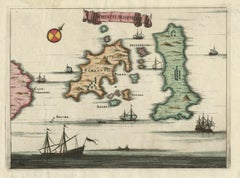
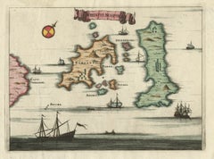
Antique Map of the Islands of Schiatti and Scopoli, Greece, 1687
Located in Langweer, NL
Antique map titled 'Schiatti - Scopoli.' This original antique map shows the islands Schiatti and Scopoli in Greece.
Paper
Antique Map of Eastern Europe – Russia, Ottoman Empire & Greece, 1868
Located in Langweer, NL
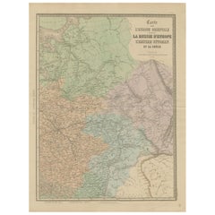
Antique Map of Eastern Europe – Russia, Ottoman Empire and Greece by Andriveau-Goujon, 1868 This detailed antique map titled “Carte de l’Europe Orientale, la Russie d’Europe, l’Empi...
Paper
Antique Map of Turkey and Greece by Petri, c.1873
Located in Langweer, NL
Antique map titled 'Europisch Turkije en Griekenland'. Old map depicting Turkey in Europe and Greece.
Paper
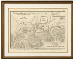
Battle of Plataea Ancient Greece Military Map by Ambroise Tardieu, 1825
Located in Langweer, NL
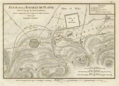
Any framed or interior images shown are for presentation and inspiration only. Keywords: Ancient Greece, Battle of Plataea, Plataea Map, Greek Persian Wars, Greco-Persian Wars, Pers...
Paper
$779Sale Price|20% Off
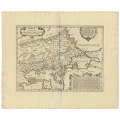
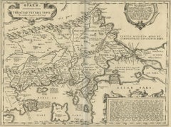
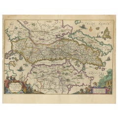
Antique Map of Thracia ‘Greece’ by J. Janssonius, circa 1650
Located in Langweer, NL
Fine and early historical map on Thracia. The area on this map covers mainly Thracia in Northern Greece and parts of Romania.
Paper
Set of Four Ancient Peloponnese and Greek Islands Maps, Tardieu, 1825
Located in Langweer, NL
Keywords: Peloponnese Maps, Ancient Greece Maps, Arcadia, Argolis, Messenia, Elis, Olympia, Ancient Olympic Games, Mycenae, Epidaurus, Argos, Zakynthos, Zante, Cephalonia, Aegina, Sa...
Paper
Antique Map of Southern Greece & Aegean – Peloponnese, Islands & Crete, c.1818
Located in Langweer, NL
Antique Map of Southern Greece & Aegean – Peloponnese, Islands & Crete, c.1818 Elegant antique map depicting southern Greece and the Aegean world, covering the Peloponnese, ...
Paper
Antique Map of Ancient Greece – Classical Balkans & Aegean, Engraving c.1818
Located in Langweer, NL
Antique Map of Ancient Greece – Classical Balkans & Aegean, Engraving c.1818 Elegant antique map depicting ancient Greece and the classical Balkans, extending from Epirus and Macedo...
Paper
$1,685Sale Price|40% Off
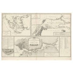
Map of Constantinople, Bosphorus, the Coasts of Greece and the Archipelago, 1785
Located in Langweer, NL
This is a large 1785 map titled "Carte de la Ville de Constantinople et du Bosphore de Thrace", which includes detailed maps of Constantinople (modern-day Istanbul), the Bosphorus St...
Paper
Antique Map of Northern Greece & Balkans – Macedonia, Thrace & Illyria, c.1818
Located in Langweer, NL
Antique Map of Northern Greece & Balkans – Macedonia, Thrace & Illyria, c.1818 Elegant antique map depicting Northern Greece and the central Balkans, covering Macedonia, Thr...
Paper
Antique Map of the Turkish Empire and Greece, Treaty of Paris Boundary, 1858
Located in Langweer, NL
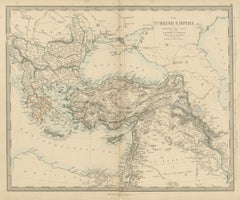
The title reads "The Turkish Empire in Europe and Asia with the Kingdom of Greece". The map reaches from Hungary, Croatia and Bosnia in the west to the Caspian Sea and Persia in the ...
Paper
"Graecia Antiqua" (Ancient Greece Map)
Located in New York, NY
Original 1870 map of Ancient Greece from Chambers's Encyclopædia.
Lithograph
Unavailable
H 17.33 in W 21.26 in
Ptolemaic map - Balkan Peninsula, Greece, Crete by Mercator - Engraving - 17th c
By Gerard Mercator
Located in Zeeland, Noord-Brabant
Macedoniam, Epirum ac Peloponnesum (…).' - A beautiful map of the Balkan Peninsula, Greece, Crete and the Aegean islands.
Engraving
Antique Map of Greece by Johnston '1909'
Located in Langweer, NL
Antique map titled 'Greece'. Original antique map of Greece. with inset maps of Athens, Corinth Canal, Corfu, and the Cyclades.
Paper
Antique Map of Greece by G. Magini, 1597
Located in Langweer, NL
Magini's map of Greece, based upon Ortelius' map of 1570.
Paper
Large Original Antique Map of Greece by Sidney Hall, 1847
Located in St Annes, Lancashire
Great map of Greece Drawn and engraved by Sidney Hall Steel engraving Original colour outline Published by A & C Black. 1847 Unframed Free shipping.
Paper
Antique Map of Greece with an Inset Map of Corfu, 1854
Located in Langweer, NL
Antique map titled 'Hellas or Greece'. Old map of Greece with an inset map of Corfu.
Paper
Antique Map of Greece with an Inset of The Cyclades, 1882
Located in Langweer, NL
Antique map titled 'Greece'. Old map of Greece with inset maps of the Cyclades and Corcyra (Corfu).
Paper
Sold
H 19.3 in W 22.84 in D 0 in
Antique Map of Greece with Crete, The Aegean Islands and Part of Turkey c.1680
Located in Langweer, NL
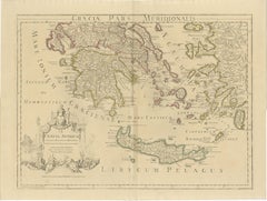
Antique map titled 'Hellas seu Graecia Universa.' Detailed map of Greece, with Crete, the Aegean Islands, and part of Turkey.
Paper
Sold
H 12.01 in W 14.38 in D 0 in
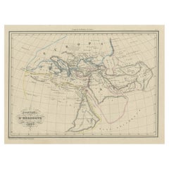
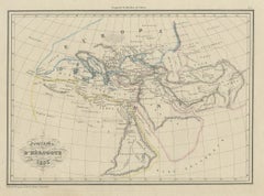
Antique Map of Ancient Greece according to Herodotus, a Greek Historian, 1837
Located in Langweer, NL
Antique map titled 'Géographie d'Hérodote'. Antique map of ancient Greece based on the information of Herodotus, a Greek historian.
Paper
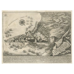
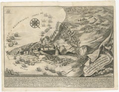
Original Copper Engraving of Koroni or Corone, Greece, ca.1690
Located in Langweer, NL
Antique print titled 'Die Stadt und Vestung Coron, wie dieselbe durch die Venetianische Waffen beschossen und erobert worden Anno 1685'. Copper engraving of Koroni (or Corone), Greec...
Paper
Original Antique Map of Greece, circa 1790
Located in St Annes, Lancashire
Super map of Greece Copper plate engraving by A.Bell Published, circa 1790.
Paper
Large Vintage Map of Greece, circa 1920
Located in St Annes, Lancashire
Great map of Greece Unframed Original color By John Bartholomew and Co.
Paper
Antique Map of Greece by Levasseur, '1875'
Located in Langweer, NL
Large map of Greece. This map originates from 'Atlas de Géographie Moderne Physique et Politique' by A.
Paper
Large Original Vintage Map of Greece, circa 1920
Located in St Annes, Lancashire
Great map of Greece Original color. Good condition Published by Alexander Gross Unframed.
Paper
Large Original Vintage Map of Greece, circa 1920
Located in St Annes, Lancashire
Great map of Greece Original color. Good condition Published by Alexander Gross Unframed.
Paper
Large Original Vintage Map of Greece, circa 1920
Located in St Annes, Lancashire
Great map of Greece Original color. Good condition Published by Alexander Gross Unframed.
Paper
Antique Map of Greece by Ortelius, circa 1579
Located in Langweer, NL
Antique map titled 'Graecia Sophiani'. Original antique map of Greece, Turkey and Asia Minor, with neighboring islands.
Paper
Antique Map of Greece by Janssonius 'circa 1662'
Located in Langweer, NL
Original antique map of Greece, centered on Achaea and coast of the Peloponnese.
Paper
Original Antique Map of Greece by Thomas Clerk, 1817
Located in St Annes, Lancashire
Great map of Greece Copper-plate engraving Drawn and engraved by Thomas Clerk, Edinburgh.
Paper
Antique Map of Greece by N. Visscher, circa 1680
Located in Langweer, NL
Visscher's map of Greece with the Greek Islands, Crete, part of Asia Minor and the Aegean Sea.
Large Antique Map of Greece, Turkey and Contiguous Islands
Located in Langweer, NL
Antique map titled 'Graecia Antiqua'. Large format map of Greece, Turkey and contiguous islands, centered on the Aegean Sea.
Paper
Original Antique Map of Greece, 1848
Located in Langweer, NL
Antique map titled 'Graecia'. Old map of Greece originating from 'Orbis Terrarum Antiquus in usum Scholarum'.
Paper
Large Original Antique Map of Greece by Sidney Hall, 1847
Located in St Annes, Lancashire
Great map of Greece Drawn and engraved by Sidney Hall Steel engraving Original colour outline Published by A & C Black. 1847 Unframed Free shipping.
Paper
Antique Map of Greece and Macedonia, 1825
Located in Langweer, NL
Old map of Greece and Macedonia originating from 'Atlas der Oude Wereld'.
Paper
Antique Map of Greece and the Greek islands by Lapie, 1842
Located in Langweer, NL
Map of Greece and the Greek islands including Crete.
Paper
Antique Map of Greece and the Ionian Islands by Lowry, '1852'
Located in Langweer, NL
Antique map titled 'Greece and the Ionian Islands'. Original map of Greece and the Ionian Islands.
Paper
Antique Hand Colored Map of Greece, 1697
Located in Langweer, NL
Original Antique Map of Ancient Greece or Hellas Greciae. It also include Crete.
Paper
Sold
H 41 in W 54.5 in D 0.002 in
Antique Map of Greece and Crete, Rhodus and A Part of Asia Minor , ca. 1730
Located in Langweer, NL
Antique engraved map of Greece. Title: "GRÆCIÆ ANTIQUÆ Tabula Nova".
Paper
Antique and vintage collectibles and curiosities can bring whimsy and wonder to any interior.
Decorating with old scientific instruments, historical memorabilia and vintage musical instruments, as well as other authentic collectibles and curiosities that can be found on 1stDibs, presents an opportunity to create a unique, natural history museum-like atmosphere in your home that can provoke conversation as often as it pays tribute to how far we’ve come in understanding our world.
And bringing collectibles and curiosities into your space is actually on trend — Wunderkammern, or curiosity cabinets, were all the rage in Europe during the 1500s and continued to have adherents there and in the U.S. in the following centuries. Today, however, they’re experiencing a real surge in popularity and influencing how many interior designers are furnishing and decorating homes — combining contemporary with antique, scientific with tribal, earthly with extraterrestrial, Les Lalanne tables with Flemish tapestries.
The original Wunderkammern were entire rooms filled with objects demonstrating their owners’ worldly knowledge: A proper one included artificiala or preciosa (objets d’art); naturalia (such as skeletons, shells, minerals); exotica (taxidermy or dried plants); and scientifica (scientific instruments), frequently alongside religious relics and ancient artifacts.
Pay tribute to a history of rich and diverse musical traditions that have taken shape all over the world by decorating your home with a collection of antique and vintage musical instruments — with a little help from strong hanging wire or some wall hooks, vintage brass instruments such as a gong, French horn or trumpet can help elevate a home office or complement the efforts you’ve made to ensure a welcoming vibe in your home’s entryway. Bells or antique wind instruments can add provocative metallic contrasts to dark woods as tabletop decorative objects.
Create an intriguing focal point with Georgian scientific instruments, such as stick barometers with mahogany cases or lacquered brass telescopes. These items stem from an era named for the monarchies of the four King Georges, who ruled England in succession starting in 1714 (plus King William’s reign, which lasted until 1837). Just as there was beautiful jewelry produced during the period that today is coveted by collectors, there is much to be found in the collectibles and curiosities realm too.
Wanderlust, nostalgia and a shared love of good design are contributing factors to certain trends in decorating — just as vintage trunks and luggage have reappeared as furniture or home accents in a bedroom or foyer, decorating with globes, maps or nautical objects is similarly rooted in the allure of travel and a penchant for the stylish finishing touch that collectibles bring to our homes.
Find a wide range of antique and vintage collectibles and curiosities on 1stDibs.
It's hard to resist the allure of a beautiful pool. So, go ahead and daydream about whiling away your summer in paradise.
It’s never too early for good design. These interiors combine elevated furnishings and a youthful spirit, resulting in spaces that are at once elegant and whimsical.
Produced in 1843, the well-preserved volume is evidence of the author's exacting specifications.
New or old, the coverlets add old-time charm to any space.
Get into the games! These items celebrate the events, athletes, host countries and sporting spirit.
French trendsetter and serial collector Daniel Rozensztroch tells us about his obsession with objects related to seafaring men.
The sought-after designer worked with the team at Hoffman Creative to produce a monograph that beautifully showcases some of Studio Shamshiri's most inspiring projects.
Italian writer and collector Umberto Pasti opens the doors to his remarkable cave of wonders in North Africa.