Prussia Map

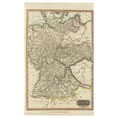
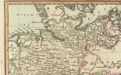
Antique Map of Germany c.1830 by Thomas Kelly – Hand-Coloured Copper Engraving
Located in Langweer, NL
Germany, 1830s map, hand-colored map, Thomas Kelly map, old Germany map, Prussia map, cartography
Category

Antique 1830s Maps

Materials

Paper

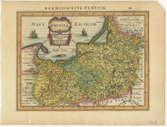
Antique Map of Prussia by Janssonius, 1628
Located in Langweer, NL
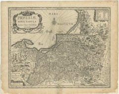
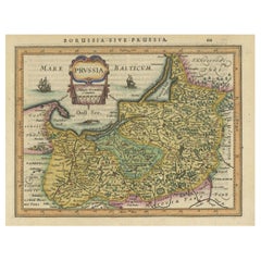
Antique map titled 'Prussia'. Original antique map of Prussia, a historically prominent German
Category

Antique Mid-17th Century Maps

Materials

Paper

Antique Map of Prussia by Janssonius, 1628
$191 Sale Price
20% Off
H 7.09 in W 8.86 in D 0.02 in
Original Antique Map of Prussia, ca.1630
Located in Langweer, NL
Antique map titled 'Prussia - Preussen'. Original map of Prussia, a historically prominent German
Category

Antique 1630s Maps

Materials

Paper

Original Antique Map of Prussia, ca.1630
$651 Sale Price
20% Off
H 13 in W 14.18 in D 0 in
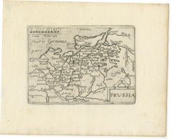
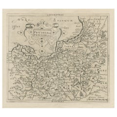
Original Decorative Antique Map of Prussia, 1628
Located in Langweer, NL
Antique map titled 'Prussia'. Original antique map of Prussia, a historically prominent German
Category

Antique 1620s Maps

Materials

Paper

Original Decorative Antique Map of Prussia, 1628
$527 Sale Price
20% Off
H 7.09 in W 9.45 in D 0 in
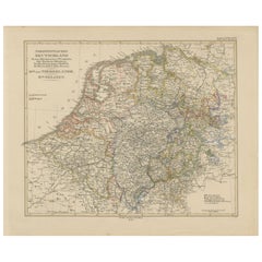
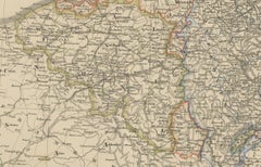
Antique Map of Prussia, Hanover, Netherlands & Belgium – 1858
Located in Langweer, NL
Antique Map of Northwestern Germany, Netherlands & Belgium – 1858 Detailed 19th-century engraved
Category

Antique Mid-19th Century German Maps

Materials

Paper

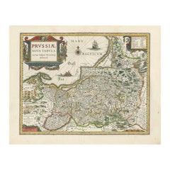
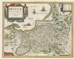
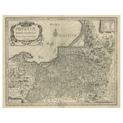
Antique Map of Prussia by Blaeu, circa 1635
By Willem Blaeu
Located in Langweer, NL
Antique map titled 'Prussiae Nova Tabula'. Rare early edition of Blaeu's map of Prussia
Category

Antique Mid-17th Century Maps

Materials

Paper

Antique Map of Prussia by Blaeu, circa 1635
$690 Sale Price
20% Off
H 17.52 in W 22.45 in D 0.02 in
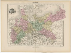
Antique Map of the Kingdom of Prussia, 1880
Located in Langweer, NL
Antique map titled 'Prusse'. Old map of the Kingdom of Prussia, with a decorative vignette of the
Category

Antique 19th Century Maps

Materials

Paper

Antique Map of the Kingdom of Prussia, 1880
$215
H 13.59 in W 18.71 in D 0 in
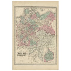
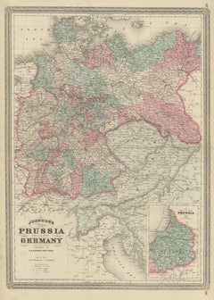
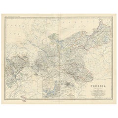
Antique Map of Prussia and Germany by Johnson, 1872
Located in Langweer, NL
Antique map titled 'Johnson's Prussia and Germany (..)'. Original map of Prussia and Germany, with
Category

Antique Late 19th Century Maps

Materials

Paper

Antique Map of Prussia and Germany by Johnson, 1872
$239 Sale Price
20% Off
H 18.12 in W 26.38 in D 0.02 in
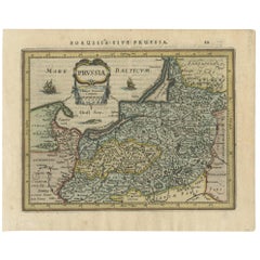
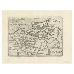
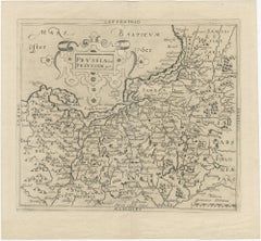
Extremele Rare, Original Miniature Map of Prussia, ca.1640
Located in Langweer, NL
Antique map titled 'Prussia'. Extremele rare, original miniature map of Prussia, a historically
Category

Antique 1640s Maps

Materials

Paper

Extremele Rare, Original Miniature Map of Prussia, ca.1640
$843 Sale Price
20% Off
H 5.91 in W 7.29 in D 0 in
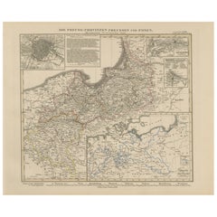
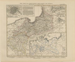
Antique Map of Prussia & Posen – Insets of Berlin, Königsberg & Danzig, 1858
Located in Langweer, NL
Antique Map of Prussia & Posen – With Insets of Berlin, Königsberg & Danzig, 1858 Highly detailed
Category

Antique Mid-19th Century German Maps

Materials

Paper

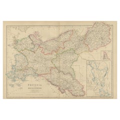
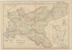
Antique Map of Prussia and Mecklenburg by W. G. Blackie, 1859
Located in Langweer, NL
Antique map titled 'Prussia and Mecklenburg'. Original antique map of Prussia and Mecklenburg with
Category

Antique Mid-19th Century Maps

Materials

Paper

Antique Map of Prussia and Mecklenburg by W. G. Blackie, 1859
$239 Sale Price
20% Off
H 14.57 in W 21.26 in D 0.02 in
Antique Map of the Kingdom of Prussia by Keizer & de Lat, 1788
Located in Langweer, NL
Prussia. This map originates from 'Nieuwe Natuur- Geschied- en Handelkundige Zak- en Reisatlas' by Gerrit
Category

Antique Late 18th Century Maps

Materials

Paper

Antique Map of the Kingdom of Prussia by Keizer & de Lat, 1788
$335 Sale Price
20% Off
H 8.08 in W 10.63 in D 0.02 in
Old Map of Prussia, Embellished with a Large Cartouche and Compass Rose, ca.1680
Located in Langweer, NL
Antique map titled 'Prussiae nova Tabula'. Later edition of Blaeu's map of Prussia, embellished
Category

Antique 1680s Maps

Materials

Paper

Old Original Engraving of Prussia on the Southeast Coast of the Baltic Sea, 1632
Located in Langweer, NL
Description: Antique map titled 'Prussia'. Original map of Prussia, a historically prominent
Category

Antique 1630s Maps

Materials

Paper

Antique Map of the German Empire, 1903, Northern Portion with Coastal and Inland
Located in Langweer, NL
heartlands of Prussia and Saxony, the map reveals the extensive railways, rivers, and road networks that
Category

Early 20th Century Maps

Materials

Paper

Antique Map of Germany with the Empire of Austria by Wyld '1845'
Located in Langweer, NL
of Prussia and Poland'. Original antique map of Germany with the Empire of Austria. This map
Category

Antique Mid-19th Century Maps

Materials

Paper

Antique Map of Germany with the Empire of Austria by Wyld '1845'
$287 Sale Price
20% Off
H 15.36 in W 19.69 in D 0.02 in
Old Map of the Margraviate of Brandenburg by Giacomo Cantelli da Vignola, 1687
Located in Langweer, NL
Prussia. The map also includes parts of Pomerania, Magdeburg, Lusatia, and Silesia, as well as the Baltic
Category

Antique 1680s Maps

Materials

Paper

Old Map of the Margraviate of Brandenburg by Giacomo Cantelli da Vignola, 1687
$517 Sale Price
20% Off
H 17.92 in W 23.75 in D 0.01 in
Map of the Margraviate and Electorate of Brandenburg by de Beaurain - ca.1750
Located in Langweer, NL
territorial entity within the Holy Roman Empire that later became the core of the Kingdom of Prussia. The map
Category

Antique 1750s Maps

Materials

Paper

Map of the Margraviate and Electorate of Brandenburg by de Beaurain - ca.1750
$517 Sale Price
20% Off
H 21.26 in W 28.75 in D 0.01 in
Map of the War between Hungary and Prussia - Etching - 19th Century
Located in Roma, IT
Map of the War between Hungary and Prussia is an etching realized during the 19th century. Good
Category

Early 19th Century Modern Figurative Prints

Materials

Etching

Map of the War between Hungary and Prussia - Etching - 19th Century
Located in Roma, IT
Map of the War between Hungary and Prussia is an etching realized during the 19th century. Good
Category

Early 19th Century Modern Figurative Prints

Materials

Etching

A Hand Colored 17th Century Janssonius Map of Prussia: Poland, N. Germany, etc.
By Johannes Janssonius
Located in Alamo, CA
An attractive hand-colored copperplate engraved 17th century map of Prussia entitled "Prussia
Category

Mid-17th Century Old Masters Landscape Prints

Materials

Engraving

Map of Europe, 1844
Located in Houston, TX
Europe, Prussia and Germany. Original antique map on paper displayed on a white mat with a gold border
Category

1840s More Prints

Materials

Ink, Watercolor, Handmade Paper

Map of Europe, 1844
Map of Europe, 1844
$375
H 18 in W 24 in D 0.1 in

Recent Sales

Prussia, Poland, N. Germany, Etc: A Hand-colored 17th Century Map by Janssonius
By Johannes Janssonius
Located in Alamo, CA
This is an attractive hand-colored copperplate engraved 17th century map of Prussia entitled
Category

Antique Mid-17th Century Dutch Maps

Materials

Paper

Antique Map of Prussia by A.K. Johnston, 1865
Located in Langweer, NL
Antique map titled 'Prussia'. Depicting Germany, Denmark and more. With an inset map of Berlin and
Category

Antique Mid-19th Century Maps

Materials

Paper

Antique Map of Prussia by A.K. Johnston, 1865
H 19.1 in W 24.41 in D 0.02 in
Original Antique WWI Poster Map War Is The National Industry Of Prussia Octopus
Located in London, GB
Original antique World War One map poster portraying Prussia as an octopus stretching its tentacles
Category

Vintage 1910s French Posters

Materials

Paper

Antique Map of Prussia and German States by Lowry, 1852
Located in Langweer, NL
Antique map titled 'Prussia and German States'. Original map of Prussia and German States. This map
Category

Antique Mid-19th Century Maps

Materials

Paper

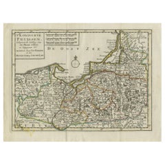
Antique Map of the Kingdom of Prussia by Petri, 1852
Located in Langweer, NL
Antique map titled 'Het Koningrijk Pruissen'. Map of the Kingdom of Prussia. This map originates
Category

Antique 19th Century Maps

Materials

Paper

Antique Map of the Region of Sagan by Schreiber, 1749
By Schreiber
Located in Langweer, NL
Sagan, Prussia. This map originates from 'Atlas Selectus von allen Konigreichen und Landern der Welt' by
Category

Antique 18th Century Maps

Materials

Paper

Original Antique WWI Poster Map War Is The National Industry Of Prussia Octopus
Located in London, GB
Original antique World War One map poster portraying Prussia as an octopus stretching its tentacles
Category

1910s More Prints

Materials

Paper

People Also Browsed

Porto Ercole - Italy - Slim Aarons 20th century colour photography
By Slim Aarons
Located in London, GB
'Porto Ercole' Italy (Slim Aarons Estate Edition) A jetty juts out from the rocky shoreline at the Hotel Il Pellicano in Porto Ercole, Tuscany, August 1973. Beautiful greens of th...
Category

1970s Modern Color Photography

Materials

C Print

Renaissance Mapping of Sumatra: Featuring Singapore in Münster’s Woodcut, c.1590
Located in Langweer, NL
Description: Antique map titled 'Sumatra ein grosse Insel / so von den alten Geographen Taprobana genennt worden'. Beautiful map of Sumatra and the southern part of Malaysia, with Si...
Category

Antique 16th Century German Maps

Materials

Paper

Vintage Anatomy Wall Chart of the Upper Body, circa 1960
Located in Langweer, NL
Vintage wall chart of the upper body. Sticker on verso reads '2008 Deutsches Hygiene Museum Dresden'. Published circa 1960.
Category

Mid-20th Century Prints

Materials

Paper

Vintage Anatomy Wall Chart of the Upper Body, circa 1960
$910 Sale Price
20% Off
H 46.46 in W 34.45 in D 0.02 in
Pillow Cases Fashioned from a Mid-20th Century Afghan Hazara Embroidery
Located in Istanbul, TR
They not come with inserts but bags made to the size to accommodate insert materials. Linen in the back. zipper closure Dry cleaning is recommended.   
Category

Mid-20th Century Afghan Suzani Central Asian Rugs

Materials

Cotton

Original Antique Hand-colored World Map with or without Frame, '1696'
Located in Langweer, NL
Antique world map titled 'Mappe-Monde dressee sur les Observations de Mrs. de l'Academie Royale des Sciences (..)'. Beautiful original antique world map. Relief shown pictorially. In...
Category

Antique Late 17th Century French Maps

Materials

Paper

Map of the Duchy of Pomerania – Antique Engraving by P. Schenk Jr., c. 1750
Located in Langweer, NL
Map of the Duchy of Pomerania – Antique Engraving by P. Schenk Jr., c. 1750 Antique map titled 'Ducatus Pomeraniae Tabula Generalis'. This historical map presents the Duchy of Pomer...
Category

Antique Mid-18th Century Dutch Maps

Materials

Paper

Map of the Duchy of Pomerania – Antique Engraving by P. Schenk Jr., c. 1750
$479 Sale Price
20% Off
H 20.67 in W 24.02 in D 0.02 in
Antique Map of North Africa showing Egypt, Mauritania and Africa Minor, 1672
Located in Langweer, NL
Antique map titled 'Africa Minor, Mauritania , Aegyptus.' Charming miniature map of North Africa, showing Egypt, Mauritania and Africa Minor. This map originates from the pocket atla...
Category

Antique 17th Century Maps

Materials

Paper

18th Century Engravings of Exploration: Banks, Tolago Bay, Terra del Fuego
Located in Langweer, NL
The sheet contains three separate engravings, each depicting a different scene: 1. Top Engraving: "Mr. Banks receiving a Visit from the King of Duke of York's Island" - This eng...
Category

Antique 1790s Prints

Materials

Paper

Antique Bird's-eye View Plan of Zierikzee in Zeeland, The Netherlands, 1649
Located in Langweer, NL
Antique print, titled: 'Zirizea.' - A bird's-eye view plan of Zierikzee in The Netherlands, with key to locations and coats of arms. After Matheo Rollando and Stephano Bellemo. Latin...
Category

Antique 1640s Maps

Materials

Paper

Antique Bird's-eye View Plan of Zierikzee in Zeeland, The Netherlands, 1649
$1,102 Sale Price
20% Off
H 21.46 in W 25.75 in D 0 in
Get Updated with New Arrivals
Save "Prussia Map", and we’ll notify you when there are new listings in this category.

Prussia Map For Sale on 1stDibs

At 1stDibs, there are many versions of the ideal prussia map for your home. Each prussia map for sale was constructed with extraordinary care, often using paper. Your living room may not be complete without a prussia map — find older editions for sale from the 18th Century and newer versions made as recently as the 20th Century. Many designers have produced at least one well-made prussia map over the years, but those crafted by Johannes Janssonius are often thought to be among the most beautiful.

How Much is a Prussia Map?

Prices for a prussia map can differ depending upon size, time period and other attributes — at 1stDibs, they begin at $124 and can go as high as $1,774, while the average can fetch as much as $661.

Read More

Patchwork Quilts Are the Latest Nostalgic Design Trend

New or old, the coverlets add old-time charm to any space.

Medal-Worthy Memorabilia from Epic Past Olympic Games

Get into the games! These items celebrate the events, athletes, host countries and sporting spirit.

Ahoy! You’ve Never Seen a Collection of Sailor Art and Kitsch Quite Like This

French trendsetter and serial collector Daniel Rozensztroch tells us about his obsession with objects related to seafaring men.

39 Incredible Swimming Pools

It's hard to resist the allure of a beautiful pool. So, go ahead and daydream about whiling away your summer in paradise.

Pamela Shamshiri Shares the Secrets behind Her First-Ever Book and Its Effortlessly Cool Interiors

The sought-after designer worked with the team at Hoffman Creative to produce a monograph that beautifully showcases some of Studio Shamshiri's most inspiring projects.

Moroccan Artworks and Objects Take Center Stage in an Extraordinary Villa in Tangier

Italian writer and collector Umberto Pasti opens the doors to his remarkable cave of wonders in North Africa.

Montecito Has Drawn Royalty and Celebrities, and These Homes Are Proof of Its Allure

Hollywood A-listers, ex-pat aristocrats and art collectors and style setters of all stripes appreciate the allure of the coastal California hamlet — much on our minds after recent winter floods.

Whaam! Blam! Pow! — a New Book on Pop Art Packs a Punch

Publishing house Assouline and writer Julie Belcove have teamed up to trace the history of the genre, from Roy Lichtenstein, Andy Warhol and Yayoi Kusama to Mickalene Thomas and Jeff Koons.