Items Similar to Original Decorative Antique Map of Prussia, 1628

Want more images or videos?
Request additional images or videos from the seller
1 of 5
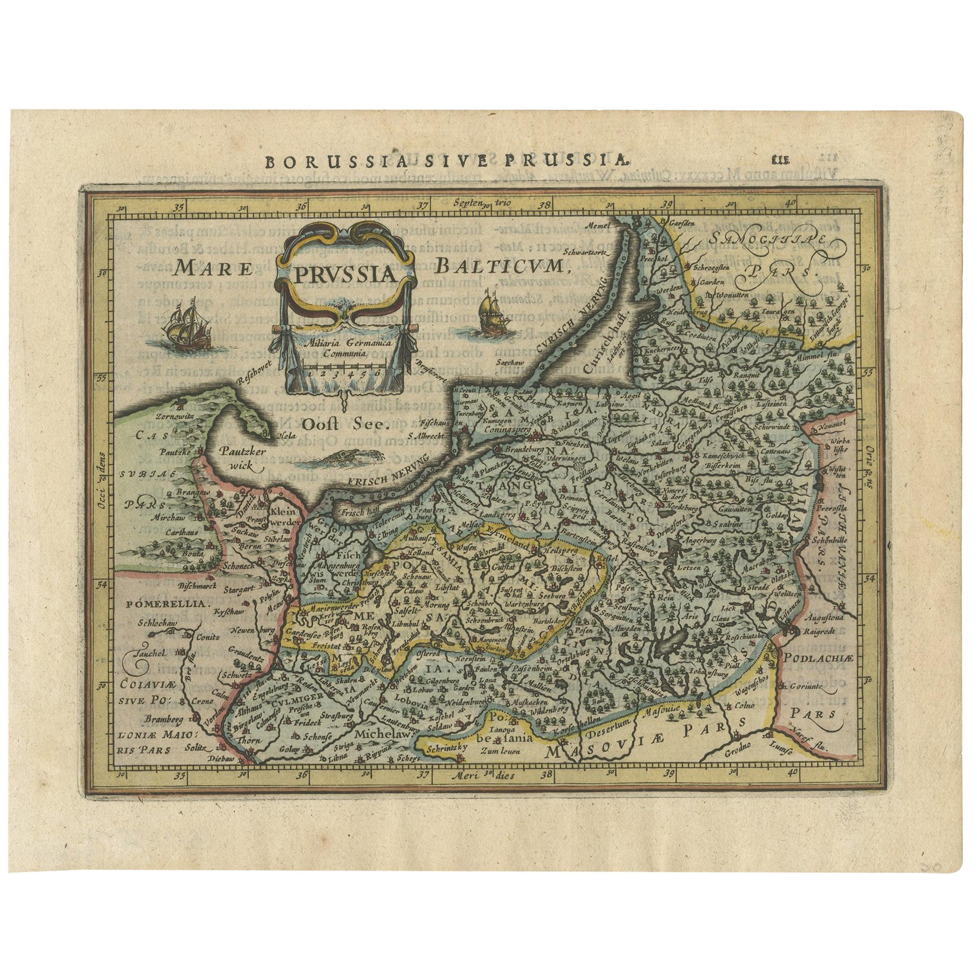
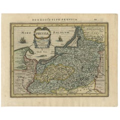
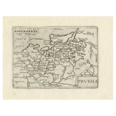
Original Decorative Antique Map of Prussia, 1628
About the Item
Antique map titled 'Prussia'. Original antique map of Prussia, a historically prominent German state that originated in 1525 with a duchy centered on the region of Prussia on the southeast coast of the Baltic Sea. This map originates from 'Atlas Minor Gerardi Mercatoris' published by J. Janssonius, 1628.
Artists and Engravers: Gerardus Mercator was a 16th-century geographer, cosmographer and cartographer from the County of Flanders. He is most renowned for creating the 1569 world map based on a new projection which represented sailing courses of constant bearing (rhumb lines) as straight lines—an innovation that is still employed in nautical ch
- Dimensions:Height: 7.09 in (18 cm)Width: 9.45 in (24 cm)Depth: 0 in (0.02 mm)
- Materials and Techniques:
- Period:1620-1629
- Date of Manufacture:1628
- Condition:Wear consistent with age and use. Condition: Good, general age-related toning. Minor wear, small hole outside image and top right corner missing. Latin text on verso, please study image carefully.
- Seller Location:Langweer, NL
- Reference Number:
About the Seller
5.0
Platinum Seller
These expertly vetted sellers are 1stDibs' most experienced sellers and are rated highest by our customers.
Established in 2009
1stDibs seller since 2017
1,922 sales on 1stDibs
Typical response time: <1 hour
- ShippingRetrieving quote...Ships From: Langweer, Netherlands
- Return PolicyA return for this item may be initiated within 14 days of delivery.
More From This SellerView All
- Antique Map of Prussia by Janssonius, 1628Located in Langweer, NLAntique map titled 'Prussia'. Original antique map of Prussia, a historically prominent German state that originated in 1525 with a duchy centered on th...Category
Antique Mid-17th Century Maps
MaterialsPaper
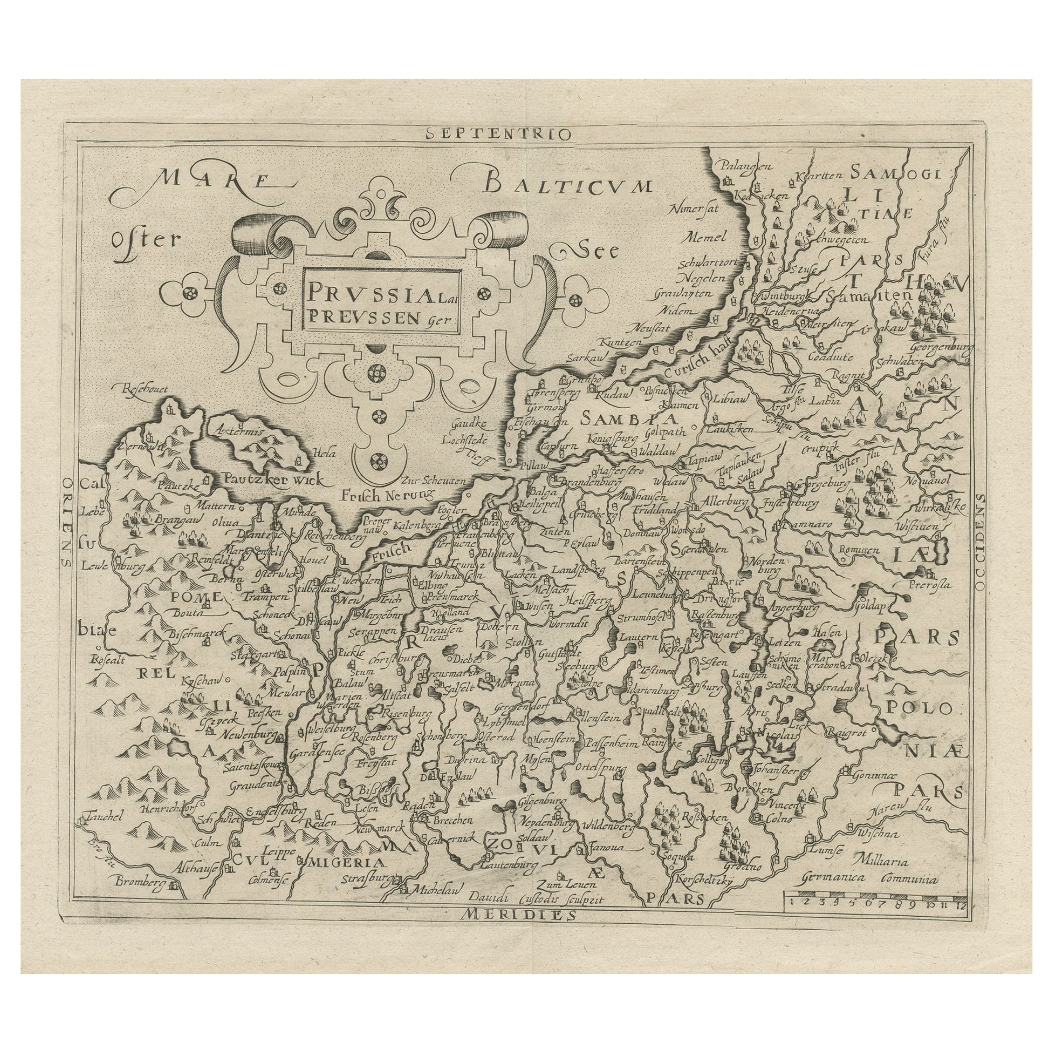
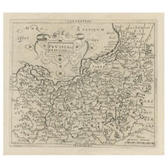
- Original Antique Map of Prussia, ca.1630Located in Langweer, NLAntique map titled 'Prussia - Preussen'. Original map of Prussia, a historically prominent German state that originated in 1525 with a duchy centered on...Category
Antique 1630s Maps
MaterialsPaper
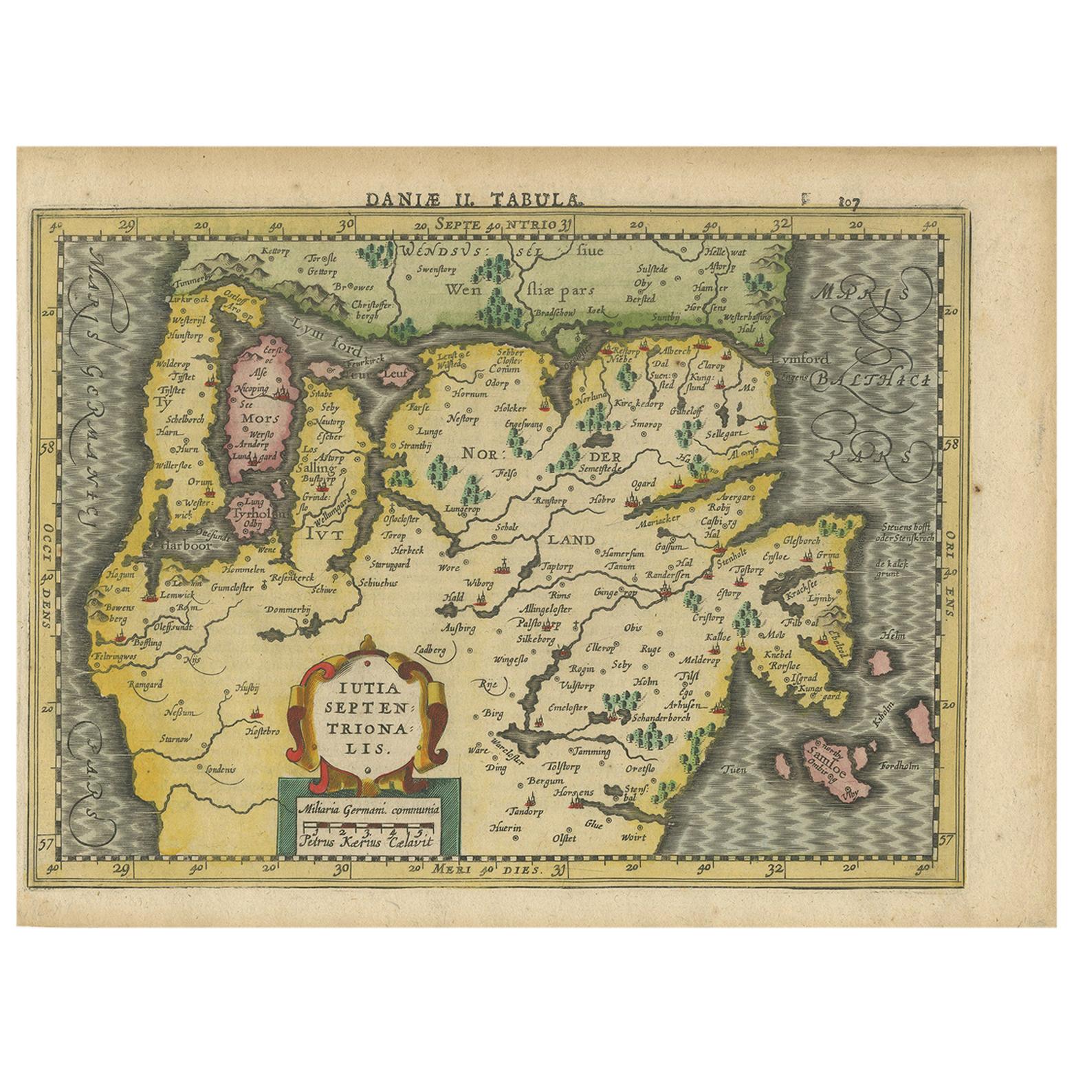
- Antique Map of Northern Jutland by Kaerius, 1628Located in Langweer, NLAntique map titled 'Iutia Septentrionalis'. Copper engraved map of Northern Jutland (Denmark) by P. Kaerius. This map originates from 'Atlas Minor (..)' by G. Mercator.Category
Antique Mid-17th Century Maps
MaterialsPaper
- Antique Map of Prussia by Blaeu, circa 1635By Willem BlaeuLocated in Langweer, NLAntique map titled 'Prussiae Nova Tabula'. Rare early edition of Blaeu's map of Prussia, embellished with a gorgeous large format cartouche, compass ros...Category
Antique Mid-17th Century Maps
MaterialsPaper
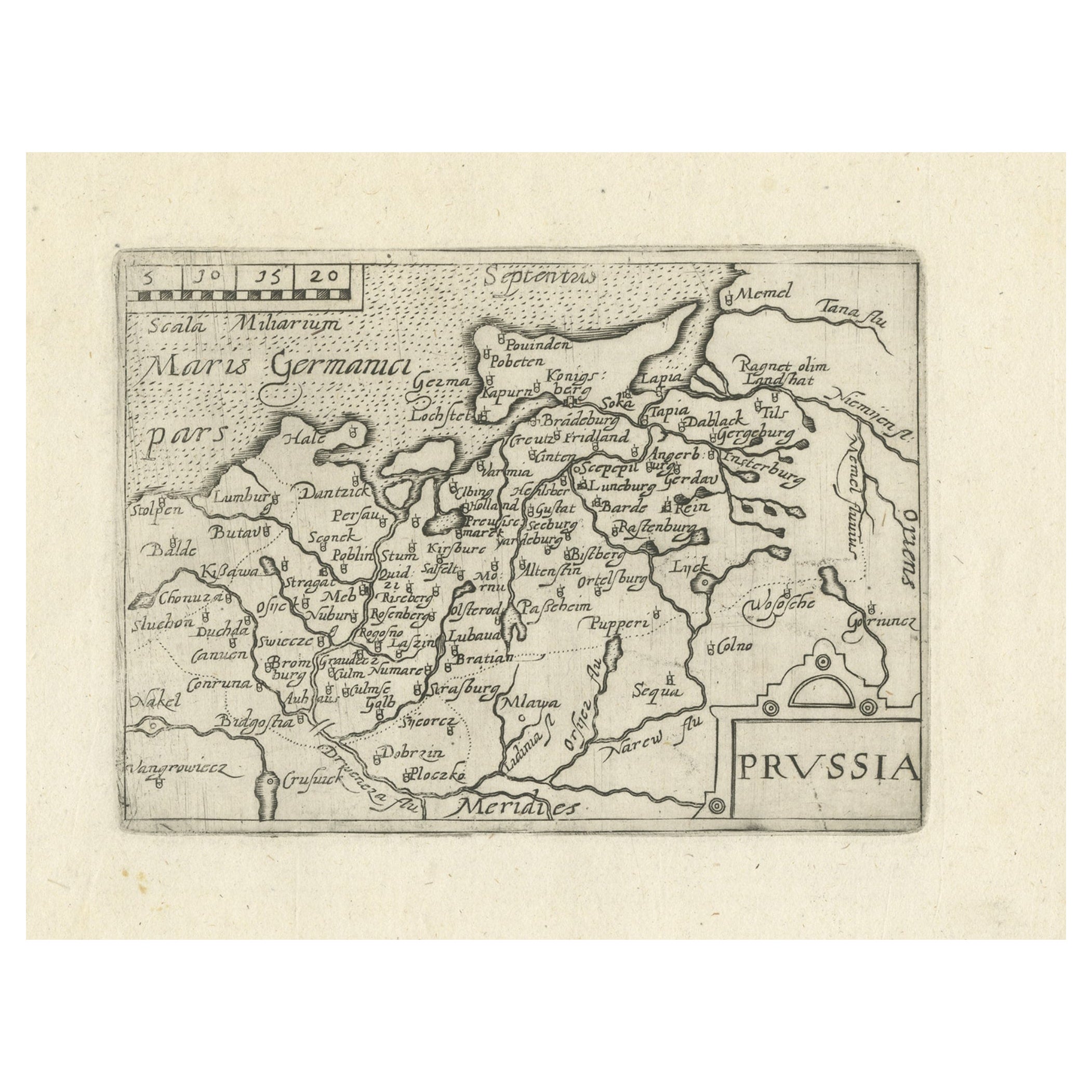
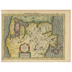
- Extremele Rare, Original Miniature Map of Prussia, ca.1640Located in Langweer, NLAntique map titled 'Prussia'. Extremele rare, original miniature map of Prussia, a historically prominent German state that originated in 1525 with a du...Category
Antique 1640s Maps
MaterialsPaper
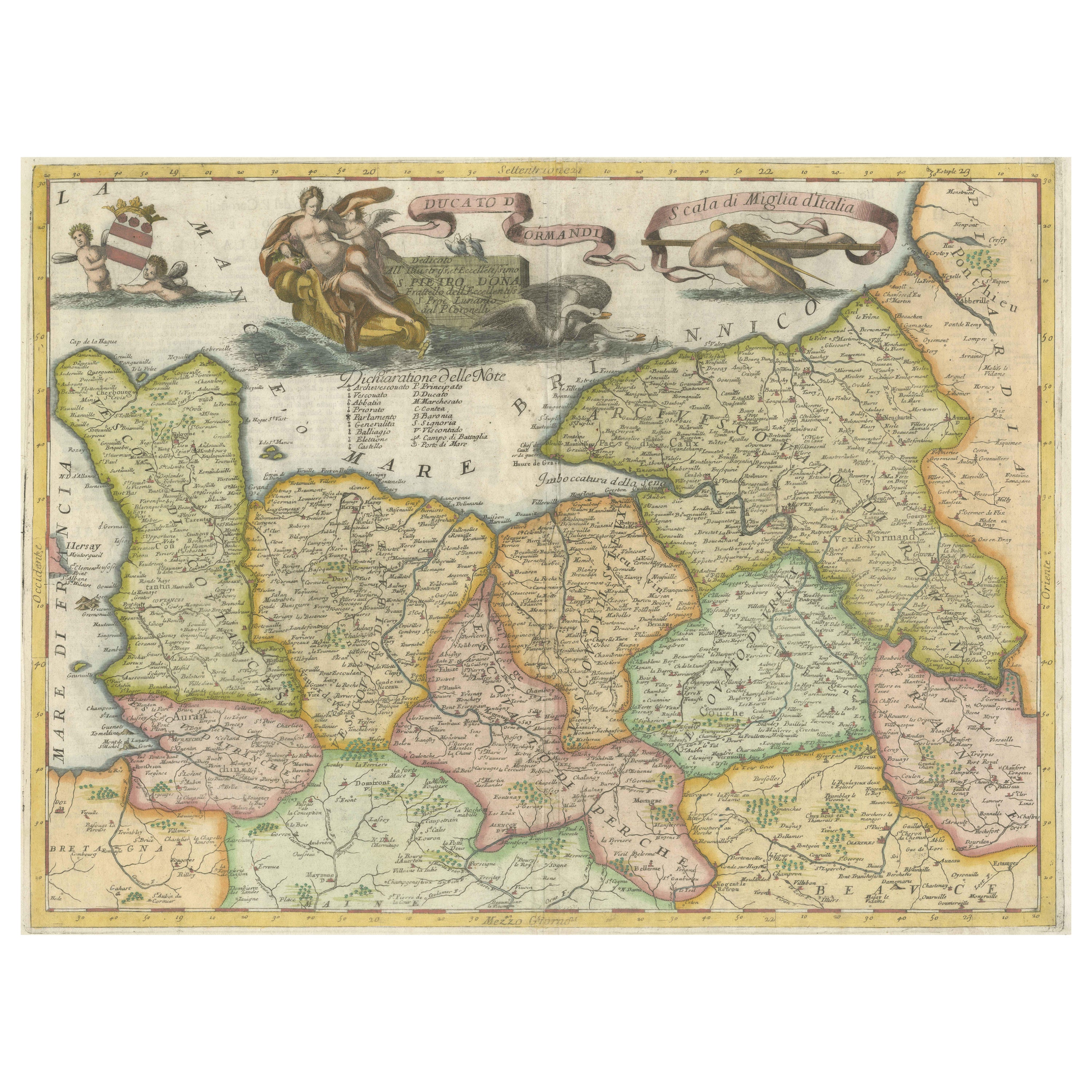
- Decorative Original Antique Map of Normandy, FranceLocated in Langweer, NLOriginal antique map titled 'Ducato D'Normandie Scala di Miglia d'Italia'. Very decorative map of Normandy, with a fine title cartouche featuring Leda ...Category
Antique Late 17th Century Maps
MaterialsPaper

You May Also Like
- Original Antique Map of Italy. C.1780Located in St Annes, LancashireGreat map of Italy Copper-plate engraving Published C.1780 Unframed.Category
Antique Early 1800s English Georgian Maps
MaterialsPaper

- Original Antique Map of Asia. C.1780Located in St Annes, LancashireGreat map of Asia Copper-plate engraving Published C.1780 Two small worm holes to right side of map Unframed.Category
Antique Early 1800s English Georgian Maps
MaterialsPaper

- Original Antique Map of India. C.1780Located in St Annes, LancashireGreat map of India Copper-plate engraving Published C.1780 Three small worm holes to right side of map and one bottom left corner Unframed.Category
Antique Early 1800s English Georgian Maps
MaterialsPaper

- Original Antique Map of South America. C.1780Located in St Annes, LancashireGreat map of South America Copper-plate engraving Published C.1780 Two small worm holes to left side of map Unframed.Category
Antique Early 1800s English Georgian Maps
MaterialsPaper
- Original Antique Map of Ireland- Kerry. C.1840Located in St Annes, LancashireGreat map of Kerry Steel engraving Drawn under the direction of A.Adlard Published by How and Parsons, C.1840 Unframed.Category
Antique 1840s English Maps
MaterialsPaper
- Original Antique Map of Hungary, Arrowsmith, 1820Located in St Annes, LancashireGreat map of Hungary Drawn under the direction of Arrowsmith. Copper-plate engraving. Published by Longman, Hurst, Rees, Orme and Brown, 1820 Unframed.Category
Antique 1820s English Maps
MaterialsPaper


