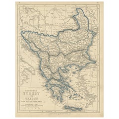
1852 Antique Map of European Turkey and Greece by J.W. Lowry
Located in Langweer, NL
Antique map titled 'European Turkey and Greece with the Ionian Islands'.
Category
Antique Mid-19th Century American Maps
Materials
Paper
1852 Antique Map of European Turkey and Greece by J.W. Lowry
Located in Langweer, NL
Antique map titled 'European Turkey and Greece with the Ionian Islands'.
Paper
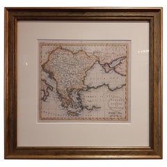
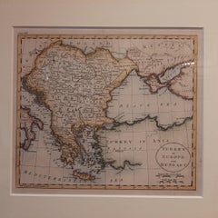
Antique Map of Turkey in Europe by J. Russell, Framed, Circa 1795
Located in Langweer, NL
Antique map titled 'Turkey in Europe and Hungary'. Original map of Turkey in Europe.
Paper
$695Sale Price|20% Off
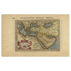
Rare 1618 Antique Miniature Map of the Turkish Empire by P. Bertius
Located in Langweer, NL
Antique miniature map titled 'Turcicum Imperium'. Rare miniature map of the Turkish Empire.
Paper
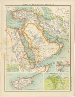
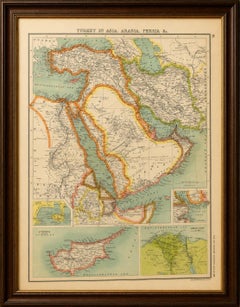
Turkey in Asia, Arabia & Persia Map with Cyprus and Egypt Insets c.1902
Located in Langweer, NL
Turkey in Asia, Arabia & Persia Map with Cyprus and Egypt Insets c.1902 A beautifully detailed antique map titled “Turkey in Asia, Arabia, Persia &c.”, published around 1900 as part...
Paper
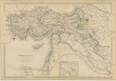
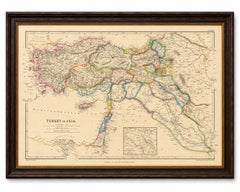
Original Antique Map of Turkey in Asia, Ottoman Empire & Middle East c.1860
Located in Langweer, NL
Original Antique Map of Turkey in Asia, Ottoman Empire & Middle East c.1860 This impressive original antique map depicts the vast territories historically known as "Turkey in Asia,"...
Paper
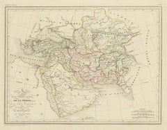
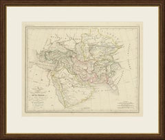
Antique Map of Turkey in Asia, Persia, Afghanistan and Arabia by Malte Brun
Located in Langweer, NL
This antique map of the Middle East and Central Asia is titled Carte de la Turquie d'Asie, de la Perse, de la Tatarie indépendante, de l'Afghanistan, du Béloutchistan et de l'Arabie....
Paper
$741Sale Price|20% Off
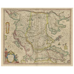
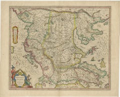
Antique Map of Macedonia, Northern Greece and part of Turkey in Europe
Located in Langweer, NL
Antique map titled 'Macedonia Epirus et Achaia'. Original old map of Macedonia, northern Greece, and part of Turkey in Europe.
Paper
$305Sale Price|20% Off
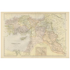
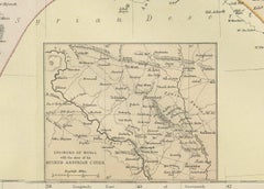
Empire's Crossroads: An 1882 Map of Turkey in Asia by Blackie & Son
Located in Langweer, NL
This map, titled "Turkey in Asia," is another detailed illustration from the 1882 atlas by Blackie & Son.
Paper
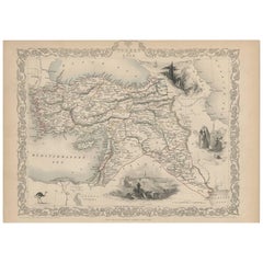
Turkey in Asia – Antique Ottoman Empire Map by John Tallis, ca. 1851
Located in Langweer, NL
Turkey in Asia – Antique Ottoman Empire Map by John Tallis, ca. 1851 This decorative 19th-century map titled "Turkey in Asia" was published by John Tallis & Company around 1851.
Paper
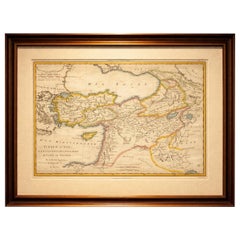
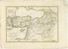
Antique Map of Turkey in Asia, Middle East and Persia, Bonne, c.1780
Located in Langweer, NL
Antique Map of Turkey in Asia, Middle East and Persia, Bonne, c.1780 A finely engraved and beautifully hand-colored 18th-century map titled Turquie d’Asie, created by the distinguis...
Paper
$407Sale Price|20% Off
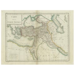
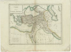
Antique Map of Asian Turkey, Levant, and Mesopotamia by Tardieu, circa 1802
Located in Langweer, NL
Created by Pierre Antoine Tardieu, this map illustrates the vast expanse of the Ottoman Empire in Asia, including modern-day Turkey, the Levant, parts of the Arabian Peninsula, and a...
Paper
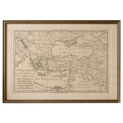
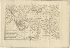
Antique Map of the Ottoman Empire, Turkey, Balkans & Middle East, Bonne, c.1780
Located in Langweer, NL
Antique Map Ottoman Empire Turkey Balkans Middle East Bonne c1780 A finely engraved 18th-century map of the Ottoman Empire, titled La Turquie d’Europe et celle d’Asie, created by th...
Paper
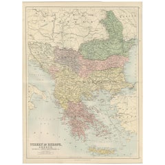
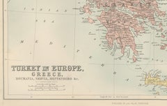
Antique Map of Turkey in Europe, Greece and the Balkans – Black’s Atlas, 1884
Located in Langweer, NL
Antique Map of Turkey in Europe, Greece and the Balkans – Black’s Atlas, 1884 Description: This finely engraved and hand-colored political map, titled “Turkey in Europe, Greece, Rou...
Paper


Antique Italian Map of Turkey in Asia by Buffier, Turchia nell Asia circa 1780
Located in Langweer, NL
This small antique map of Turkey in Asia is titled Turchia nell Asia antica e moderna and comes from an Italian edition of Claude Buffier's Geografia universale, published in Venice ...
Paper
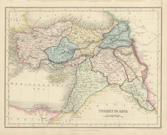
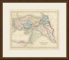
Antique Map of Turkey in Asia by Dower, Anatolia, Syria and Iraq, circa 1845
Located in Langweer, NL
This antique map of Turkey in Asia was drawn and engraved by John Dower of Pentonville and published in London by Orr and Company of Amen Corner, Paternoster Row, around 1845.
Paper
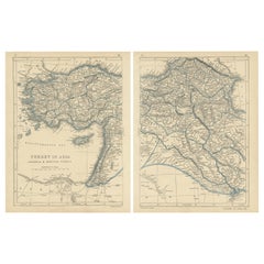
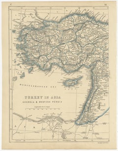
Antique Map of Turkey in Asia by J.W. Lowry, Paper Print, 1852
Located in Langweer, NL
Antique map titled 'Turkey in Asia, Georgia & Western Persia'.
Paper
$1,251Sale Price|20% Off
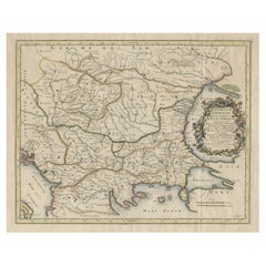
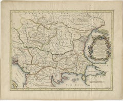
Map of Region Near the Baltic Sea, Present Day Bulgaria, Romania & Turkey, c1670
Located in Langweer, NL
Engraved map of the area west of the Baltic Sea, present day Bulgaria, Romania, and Turkey.
Paper
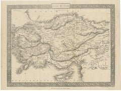
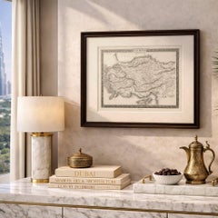
Antique Map of Asia Minor Turkey with Greek Key Border by Tallis, c.1850
Located in Langweer, NL
Antique Map of Asia Minor Turkey with Greek Key Border by Tallis, c.1850 A highly decorative and finely engraved map titled “Asia Minor,” depicting the region of Anatolia (modern-da...
Paper
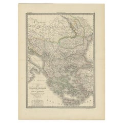
Antique 1842 Map of Turkey and Greece by Pierre M. Lapie, 68x50.5 cm
By Pierre M. Lapie
Located in Langweer, NL
Map of Turkey and Greece. This map originates from 'Atlas universel de géographie ancienne et moderne (..)' by Pierre M.
Paper
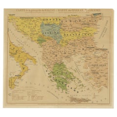
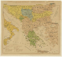
Old Map of the Balkans Incl Greece, Turkey, Serbia, Montenegro, Bulgaria, C.1900
Located in Langweer, NL
Original antique map of the Balkans including Greece, Turkey, Serbia, Montenegro, Bulgaria and surroundings.
Paper
$407Sale Price|20% Off
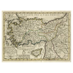
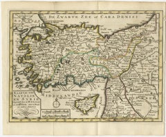
Old Map of Anatolia, part of modern-day Turkey, Armenia and Syria, 1745
Located in Langweer, NL
This title indicates a map that depicts the regions of Anatolia (part of modern-day Turkey) and Syria, created through the collaboration of Mr.
Paper
$426Sale Price|20% Off
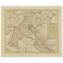
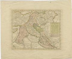
Antique Map of Eastern Turkey, Caucasus, Israel through Iraq and part of Arabia
Located in Langweer, NL
Beautiful map including eastern Turkey, the Caucasus, Israel through Iraq, with a part of Arabia.
Paper
$427Sale Price|20% Off
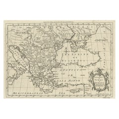
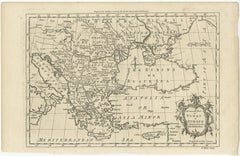
Map of the Ottoman Empire in Europe, incl. the Balkans, Greece & Turkey, c.1760
Located in Langweer, NL
Antique map Turkey titled 'An Accurate Map of Turky in Europe drawn from the best Authorities'.
Paper
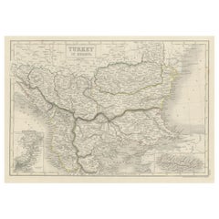

Antique Plan of Turkey in Europe with Inset Map of the Bosporus, ca.1850
Located in Langweer, NL
Antique map titled 'Turkey in Europe'. A map of European Turkey and the surrounding countries.
Paper

$1,135Sale Price|30% Off
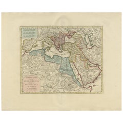
Original Antique Map of the Turkish Empire by I. Tirion, 1760, Wall Art Decor
Located in Langweer, NL
Original antique map of the Turkish Empire. The map is centered on the Mediterranean Sea but covers most of Southern Europe, the Middle East, Arabia, and Northeastern Africa.
Paper
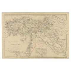
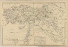
Old Map of Turkey in Asia with Mosul Environs and Assyrian Ruins Inset , 1859
Located in Langweer, NL
Turkey in Asia – Antique Map by W\.G. Blackie, 1859, with Inset of Assyrian Ruins This finely detailed antique map titled Turkey in Asia is an original engraving from W\.G.
Paper
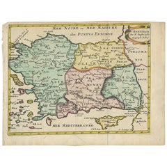
Antique Map of Turkey with Cyprus and Greece Islands by N. Sanson, circa 1652
Located in Langweer, NL
Antique map of Turkey, Anatolie with Cyprus and the Greece islands.
Paper
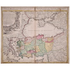
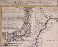
Hand-Colored 18th Century Homann Map of the Black Sea, Turkey and Asia Minor
By Johann Baptist Homann
Located in Alamo, CA
This detailed map depicts Turkey and the area surrounding the Black Sea and the northern portions of the Mediterranean Sea, including parts of Greece, Macedonia, Crete, Romania, Russ...
Paper

Antique Map of Greece, Albania, Macedonia and Parts of Turkey and Cyprus, c.1745
Located in Langweer, NL
Detailed map of Greece. Includes Albania, Macedonia and parts of Turkey and Cyprus.
Paper
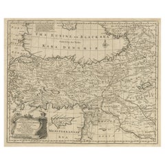
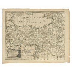
Antique Map of Asia Minor with Cyprus, Syria and Turkey and the Black Sea, 1747
Located in Langweer, NL
Beautiful map of Turkey between the Black Sea and Cyprus.
Paper
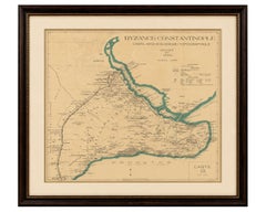
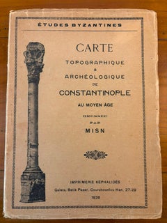
Byzance–Constantinople: Archaeological & Topographical Map, MISN, 1938
Located in Langweer, NL
Origin: Istanbul (Constantinople), Turkey Date: 1938 Maker: MISN Publisher: Imprimerie Képhalidès, Galata Series: Études Byzantines Medium: Folding printed map on paper with original...
Paper
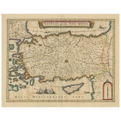
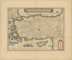
Antique Map of Asia Minor - Turkey, Cyprus and the Islands in the Aegean, c.1640
Located in Langweer, NL
Antique map titled 'Natolia, quae olim Asia Minor'. Decorative map of Asia Minor, showing Turkey, Cyprus and the Islands in the Aegean.
Paper
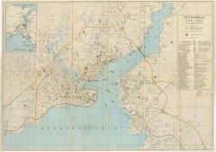
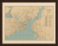
Vintage Tourist Map of Istanbul (Constantinople), Bosphorus & Marmara Sea, c1950
Located in Langweer, NL
Overall clean, well-preserved, and highly suitable for framing. Keywords: Istanbul map, Constantinople map, Bosphorus map, Turkey cartography, Turkish tourist map, Marmara Sea, Beyo...
Paper
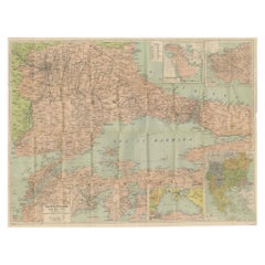
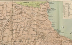
Daily Telegraph War Map 1877 – Ottoman Empire, Balkans & Constantinople Antique
Located in Langweer, NL
Daily Telegraph War Map 1877 – Ottoman Empire, Balkans & Constantinople Antique Map This large lithographed folding map was published as War Map No. 7 by The Daily Telegraph, London...
Paper
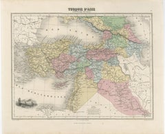
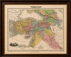
Turquie d’Asie et les Provinces du Caucase Map, Ottoman Empire 1873
Located in Langweer, NL
Keywords: Ottoman Empire map, Turquie d’Asie, Asia Minor map, Caucasus map, Armenia map, Kurdistan map, Syria map, Anatolia, Turkey in Asia, Mesopotamia, Persia, Black Sea, Levant ma...
Paper
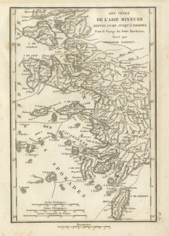
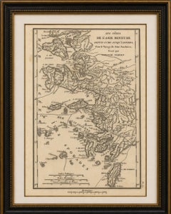
Antique Map of Asia Minor Coast and Greek Islands by Ambroise Tardieu, 1825
Located in Langweer, NL
Any framed or interior images shown are for presentation and inspiration only. Keywords: Asia Minor Map, Ancient Turkey, Ionia, Lydia, Caria, Ephesus, Ephesus Map, Smyrna, Izmir, Mi...
Paper
$2,271Sale Price|20% Off
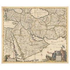
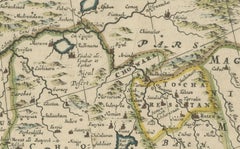
Circa 1691 Frederick de Wit Map: Middle East with Arabia, Persia & More
Located in Langweer, NL
Circa 1691 Frederick de Wit Map: Middle East with Arabia, Persia & More This exquisite hand-colored map, circa 1691, by Frederick de Wit, illustrates the Middle East, spanning from ...
Paper
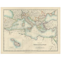
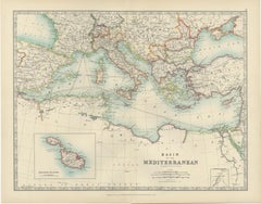
Antique Map of the Mediterranean Basin, 1903, with Detailed Coastal and Inland
Located in Langweer, NL
From the sun-drenched shores of Spain and Italy to the ancient lands of Greece, Egypt, and Turkey, this map brings the entire region to life with exceptional cartographic precision.
Paper
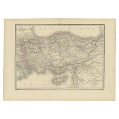

Antique Map of Asia Minor by Pierre M. Lapie, Paper, 1842, France
Located in Langweer, NL
Map of Asia Minor, also called Anatolia or Turkish Anadolu.
Paper
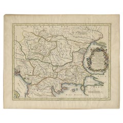
Antique Map of the Region Around the Baltic Sea by Cordier, c.1670
Located in Langweer, NL
Engraved map of the area west of the Baltic Sea, present day Bulgaria, Romania, and Turkey.
Paper
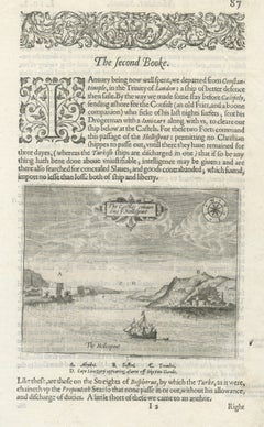
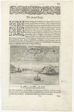
Dardanelles & Hellespont View by George Sandys, Ottoman Turkey, 1621
Located in Langweer, NL
Excellent for library interiors, studies, or collectors’ walls featuring early maps and travel engravings. Technique: Copperplate engraving with letterpress text Maker: George Sandy...
Paper


1720 Maps of the Holy Land: Ancient and Modern by De Fer and Danet
Located in Langweer, NL
1720 Maps of the Holy Land: Ancient and Modern by De Fer and Danet This set of two 1720 maps, published by Nicolas de Fer and Danet in Paris, presents a unique juxtaposition of t...
Paper
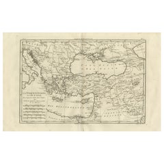
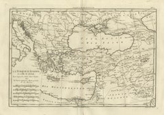
Turkey in Europe & Asia – Ottoman Lands by Bonne c.1780
Located in Langweer, NL
Turkey in Europe & Asia – Ottoman Lands by Bonne c.1780 DESCRIPTION This map depicts Ottoman territories across southeastern Europe and western Asia at the height of imperial influe...
Paper
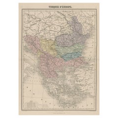
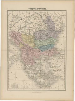
Antique Map of Moldova to Thessaly and from the Adriatic to the Black Sea, 1880
Located in Langweer, NL
Antique map titled 'Turquie d'Europe'. Map of the european parts of Turkey.
Paper
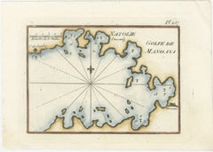
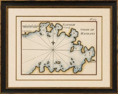
Golfe de Mandaya Sea Chart by Joseph Roux, Ottoman Turkey, c.1764
Located in Langweer, NL
Golfe de Mandaya Sea Chart by Joseph Roux, Ottoman Turkey, c.1764 This elegant and highly decorative 18th-century sea chart titled “Golfe de Mandaya” depicts the Gulf of Mandalya, t...
Paper
$611Sale Price|20% Off
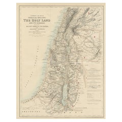
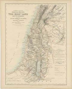
Turkey in Asia: Biblical Regions and the Holy Land from The Royal Atlas (1856)
Located in Langweer, NL
This antique map titled "Turkey in Asia (Biblical Regions) The Holy Land and its Borders" comes from "The Royal Illustrated Atlas", which was published in 1856 by A.
Paper
Antique and vintage collectibles and curiosities can bring whimsy and wonder to any interior.
Decorating with old scientific instruments, historical memorabilia and vintage musical instruments, as well as other authentic collectibles and curiosities that can be found on 1stDibs, presents an opportunity to create a unique, natural history museum-like atmosphere in your home that can provoke conversation as often as it pays tribute to how far we’ve come in understanding our world.
And bringing collectibles and curiosities into your space is actually on trend — Wunderkammern, or curiosity cabinets, were all the rage in Europe during the 1500s and continued to have adherents there and in the U.S. in the following centuries. Today, however, they’re experiencing a real surge in popularity and influencing how many interior designers are furnishing and decorating homes — combining contemporary with antique, scientific with tribal, earthly with extraterrestrial, Les Lalanne tables with Flemish tapestries.
The original Wunderkammern were entire rooms filled with objects demonstrating their owners’ worldly knowledge: A proper one included artificiala or preciosa (objets d’art); naturalia (such as skeletons, shells, minerals); exotica (taxidermy or dried plants); and scientifica (scientific instruments), frequently alongside religious relics and ancient artifacts.
Pay tribute to a history of rich and diverse musical traditions that have taken shape all over the world by decorating your home with a collection of antique and vintage musical instruments — with a little help from strong hanging wire or some wall hooks, vintage brass instruments such as a gong, French horn or trumpet can help elevate a home office or complement the efforts you’ve made to ensure a welcoming vibe in your home’s entryway. Bells or antique wind instruments can add provocative metallic contrasts to dark woods as tabletop decorative objects.
Create an intriguing focal point with Georgian scientific instruments, such as stick barometers with mahogany cases or lacquered brass telescopes. These items stem from an era named for the monarchies of the four King Georges, who ruled England in succession starting in 1714 (plus King William’s reign, which lasted until 1837). Just as there was beautiful jewelry produced during the period that today is coveted by collectors, there is much to be found in the collectibles and curiosities realm too.
Wanderlust, nostalgia and a shared love of good design are contributing factors to certain trends in decorating — just as vintage trunks and luggage have reappeared as furniture or home accents in a bedroom or foyer, decorating with globes, maps or nautical objects is similarly rooted in the allure of travel and a penchant for the stylish finishing touch that collectibles bring to our homes.
Find a wide range of antique and vintage collectibles and curiosities on 1stDibs.
It's hard to resist the allure of a beautiful pool. So, go ahead and daydream about whiling away your summer in paradise.
It’s never too early for good design. These interiors combine elevated furnishings and a youthful spirit, resulting in spaces that are at once elegant and whimsical.
Produced in 1843, the well-preserved volume is evidence of the author's exacting specifications.
New or old, the coverlets add old-time charm to any space.
Get into the games! These items celebrate the events, athletes, host countries and sporting spirit.
French trendsetter and serial collector Daniel Rozensztroch tells us about his obsession with objects related to seafaring men.
The sought-after designer worked with the team at Hoffman Creative to produce a monograph that beautifully showcases some of Studio Shamshiri's most inspiring projects.
Italian writer and collector Umberto Pasti opens the doors to his remarkable cave of wonders in North Africa.