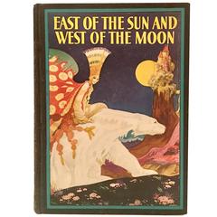
1930'S Edition Of East of the Sun and West of the Moon By, Kay Nielsen
View Similar Items

1 of 10
1930'S Edition Of East of the Sun and West of the Moon By, Kay Nielsen
About the Item
- Dimensions:Height: 1.25 in (3.18 cm)Width: 6.75 in (17.15 cm)Depth: 9 in (22.86 cm)
- Materials and Techniques:
- Place of Origin:
- Period:
- Date of Manufacture:1930
- Condition:Wear consistent with age and use. Minor losses. book is excellent condition. There is some water damage to the back cover edge.
- Seller Location:West Palm Beach, FL
- Reference Number:1stDibs: LU182936155343
You May Also Like
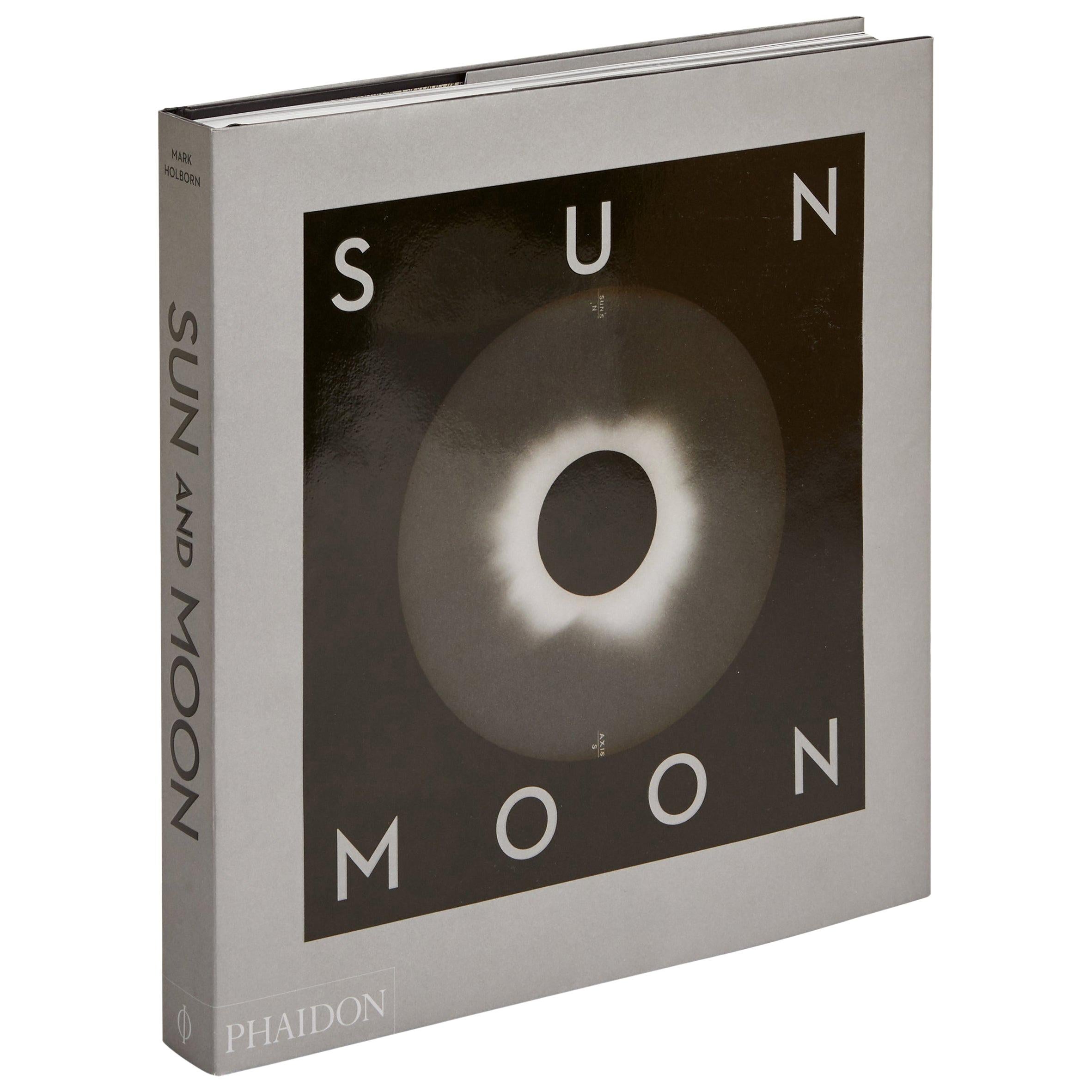
- Sun and Moon a Story of Astronomy, Photography and CartographyLocated in New York City, NYA unique pictorial history of astronomical exploration from the earliest Prehistoric observatories to the latest satellite images with 280 spectacular images and an inspiring story i...Category
21st Century and Contemporary European Books
MaterialsPaper
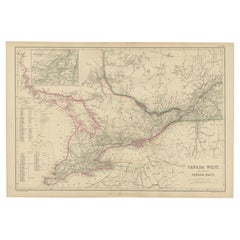
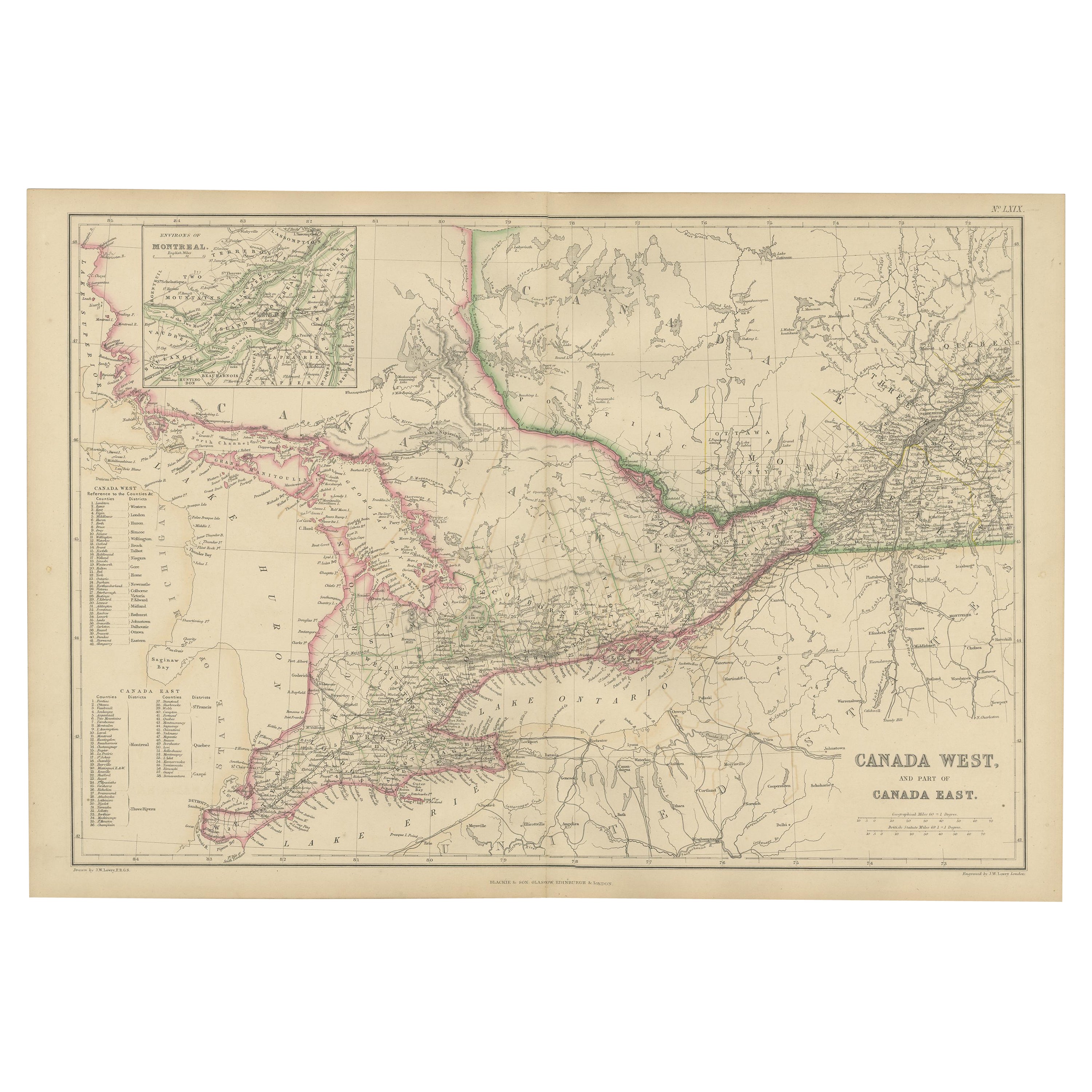
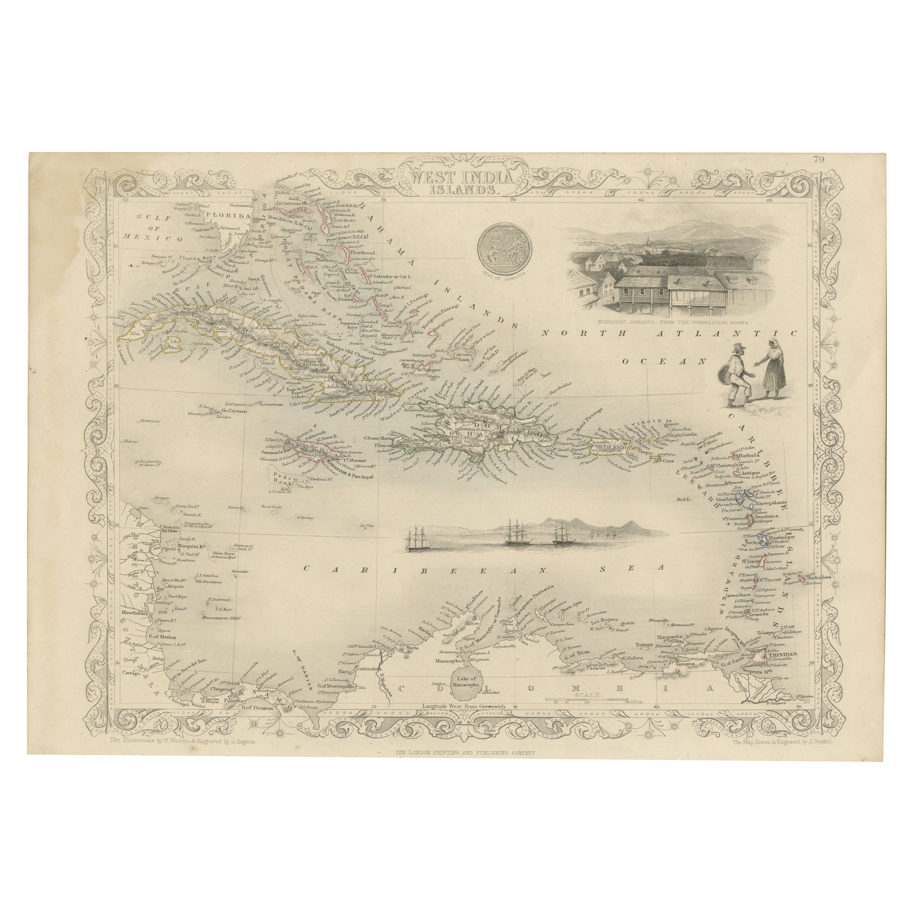
- Antique Map of Canada West and Part of Canada East by W. G. Blackie, 1859Located in Langweer, NLAntique map titled 'Canada West and Part of Canada East'. Original antique map of Canada West and Part of Canada East with inset map of Montreal. This ...Category
Antique Mid-19th Century Maps
MaterialsPaper
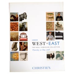
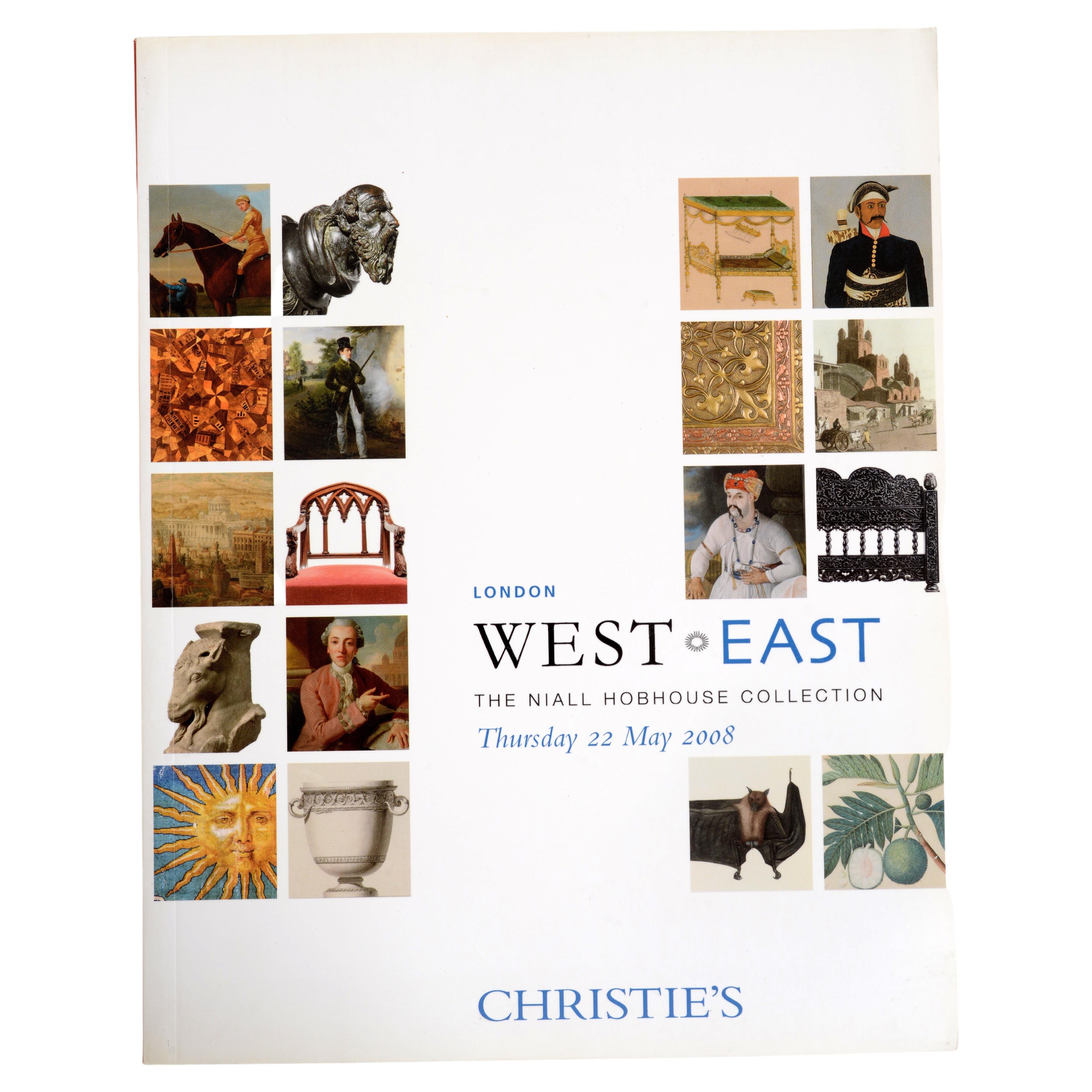
- Christie's: West East The Niall Hobhouse Collection, 2008, Anglo IndianLocated in valatie, NYChristie's: West East The Niall Hobhouse Collection, 2008, Anglo Indian Collection. A fascinating selection of exquisite treasures from both the Western and Oriental worlds reveal Ni...Category
21st Century and Contemporary English Books
MaterialsPaper
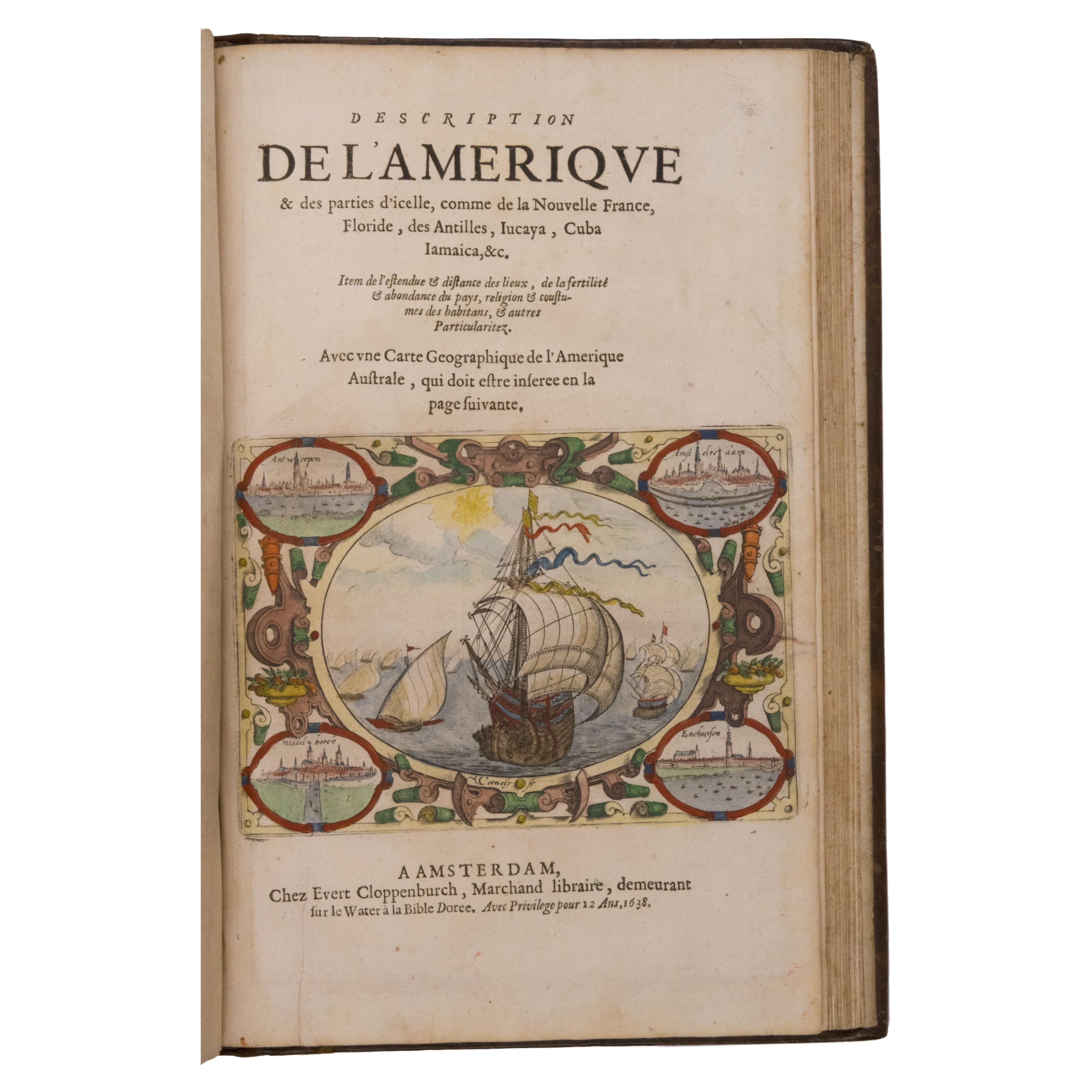
- Seminal guide to the East and West Indies, with 42 coloured maps and platesBy Jan Huygen van LinschotenLocated in ZWIJNDRECHT, NLSeminal guide to the East and West Indies, with 42 double-page and folding plates, including 6 maps, all engravings beautifully coloured by a contemporary hand LINSCHOTEN, Jan Huygh...Category
Antique Early 17th Century Dutch Dutch Colonial Books
MaterialsPaper

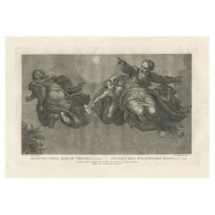
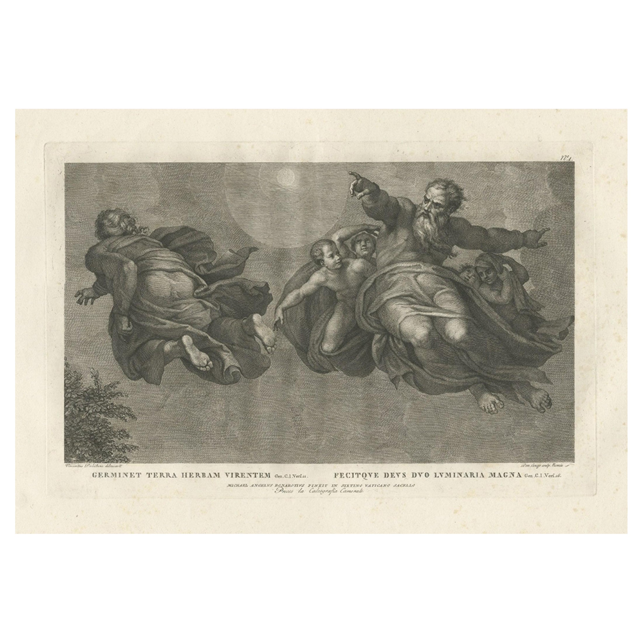
- Print of the Vegetation & Sun & Moon, from Frescoes in the Sistine Chapel, c1780Located in Langweer, NLAntique print religion titled 'Germinet Terra Herbam Virentem (..)'. This print depicts the Vegetation and Sun and Moon. Originates from 'Frescoes in the Sistine Chapel...Category
Antique 1780s Prints
MaterialsPaper
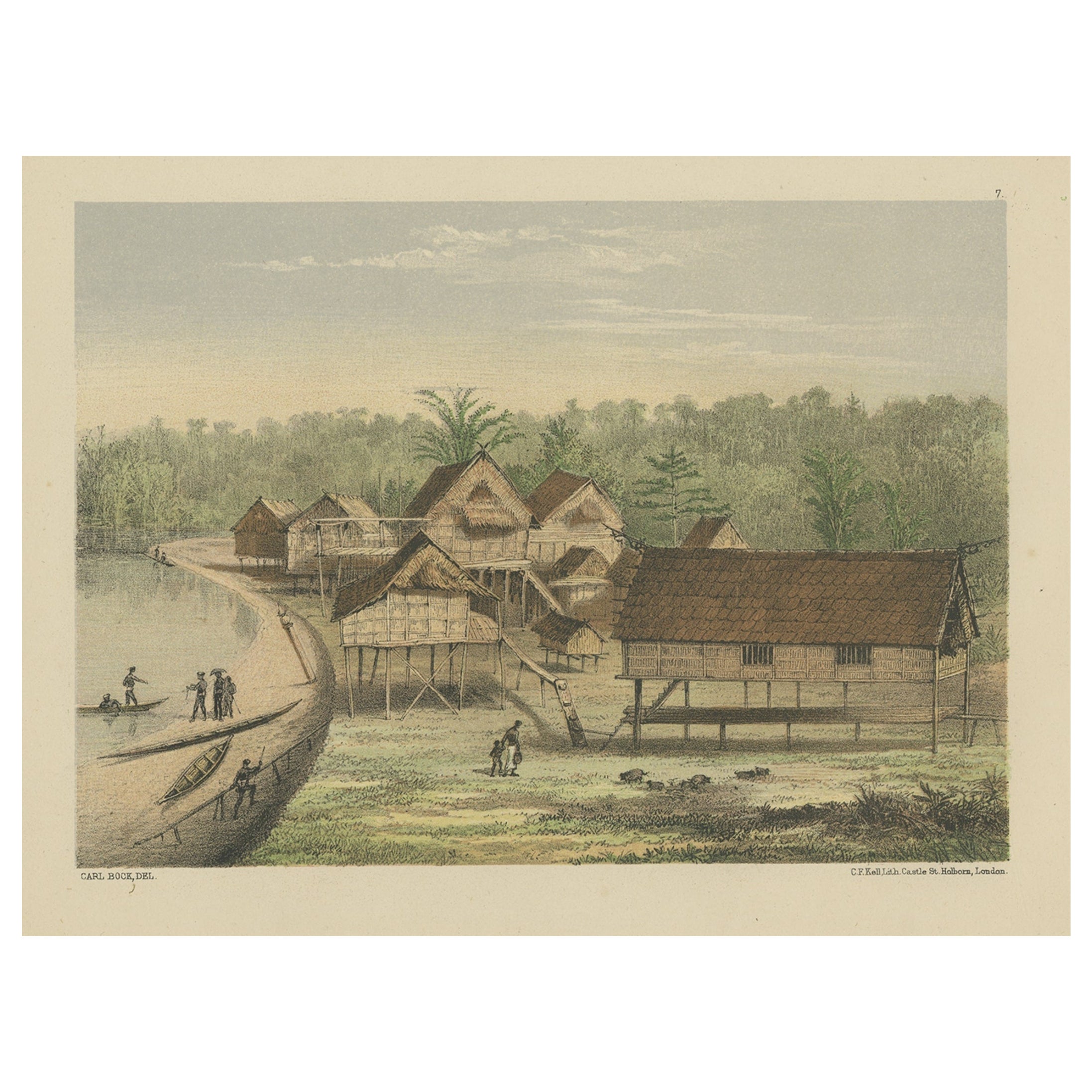
- Antique Map of the West Coast of North America & North East Coast of Asia '1772'Located in Langweer, NLAntique map titled 'Carte des nouvelles decouvertes/ Extrait d'une Carte Japonoise de l'Universe'. Map of the West Coast of North America and North-East Coast of Asia, based upon Buache's report of the various Russian Discoveries between 1731 and 1742 including the various explorers routes and notes. The lower map is based upon a Japanese map...Category
Antique Late 18th Century Maps
MaterialsPaper
 $571 Sale Price20% Off