Want more images or videos?
Request additional images or videos from the seller
1 of 5
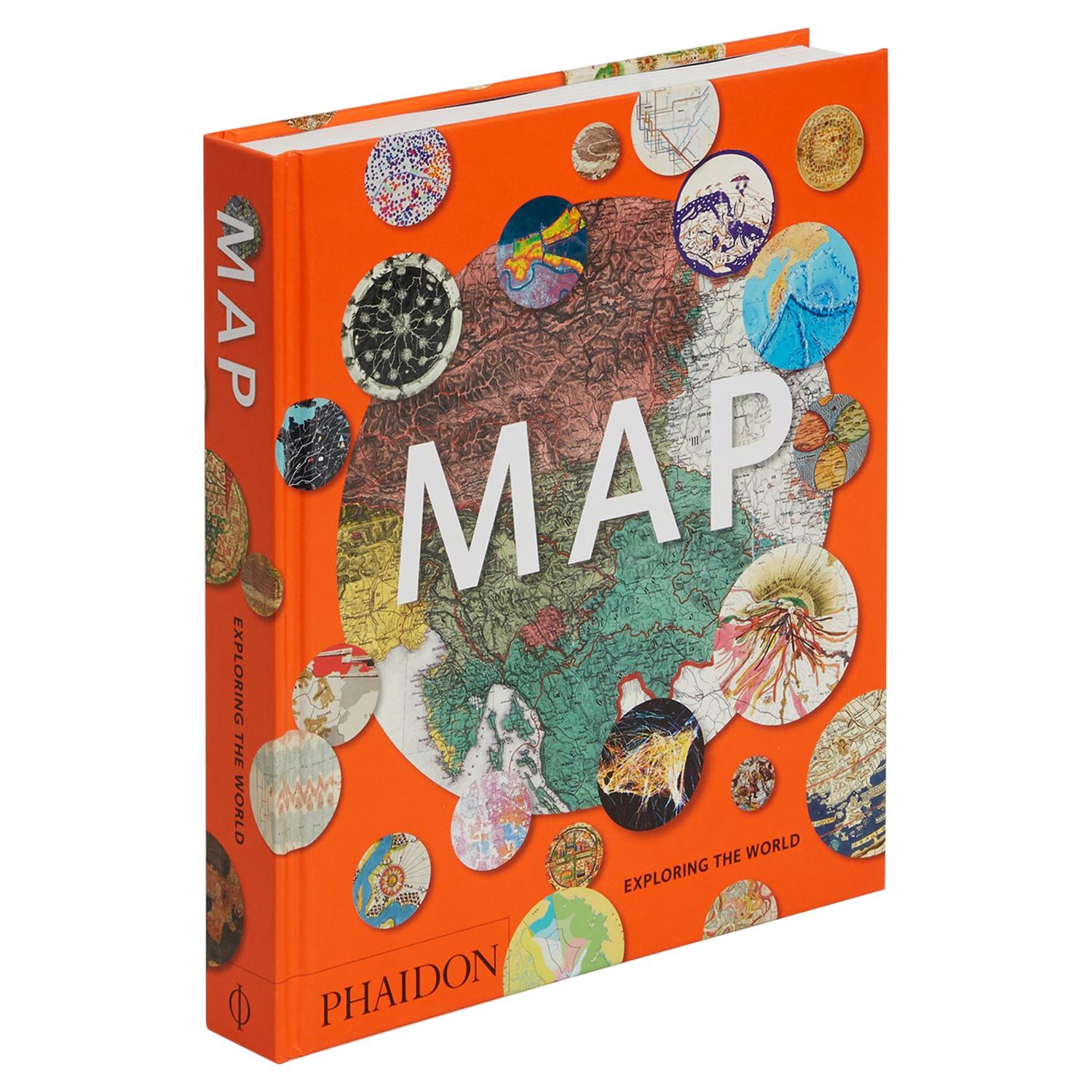
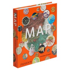
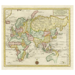
Map, Exploring The World
About the Item
300 stunning maps from all periods and from all around the world, exploring and revealing what maps tell us about history and ourselves.
Selected by an international panel of cartographers, academics, map dealers and collectors, the maps represent over 5,000 years of cartographic innovation drawing on a range of cultures and traditions.
Comprehensive in scope, this book features all types of map from navigation and surveys to astronomical maps, satellite and digital maps, as well as works of art inspired by cartography.
Unique curated sequence presents maps in thought-provoking juxtapositions for lively, stimulating reading.
Features some of the most influential mapmakers and institutions in history, including Gerardus Mercator, Abraham Ortelius, Phyllis Pearson, Heinrich Berann, Bill Rankin, Ordnance Survey and Google Earth.
Easy-to-use format, with large reproductions, authoritative texts and key caption information, it is the perfect introduction to the subject.
Also features a comprehensive illustrated timeline of the history of cartography, biographies of leading cartographers and a glossary of cartographic terms.
Selected by an international panel of cartographers, academics, map dealers and collectors, the maps represent over 5,000 years of cartographic innovation drawing on a range of cultures and traditions.
- Dimensions:Height: 11.38 in (28.91 cm)Width: 9.88 in (25.1 cm)Depth: 1.5 in (3.81 cm)
- Materials and Techniques:
- Place of Origin:
- Period:
- Date of Manufacture:2015
- Production Type:New & Custom(Current Production)
- Estimated Production Time:Available Now
- Condition:
- Seller Location:New York City, GB
- Reference Number:

Phaidon
PHAIDON: HOME OF THE VISUAL ARTS
Phaidon Press, founded in Vienna in 1923 is the premier global publisher of the creative arts. We work with the world's most influential authors to produce innovative books on art, photography, design, architecture, fashion, food, travel, and illustrated books for children that represent the very best in design, quality, and taste. Phaidon's beautiful illustrated books are treasured worldwide for their outstanding content and award-winning production. In October 2012, Phaidon came under new ownership and its new senior management team began the task of growing the company for the long term as the world's leading publisher of books in the visual arts, food, and children's markets. Publishing successes in subsequent years expanded the growing art program to include books made in collaboration with the global superstar Rihanna, NIKE, photographer Annie Leibovitz, fashion designer Sir Paul Smith, the streetwear brand Supreme, and Cecily Brown, one of many cutting-edge artists in the company's iconic Contemporary Artists Series. More recently, Phaidon has successfully added interior design to its core publishing categories. Phaidon now operates a global sales and distribution network, selling in over 100 countries and publishing books in English, Chinese, French, Spanish, Japanese, and German, and with an increasing number of publishing partners in further languages.
About the Seller
4.3
Vetted Seller
These experienced sellers undergo a comprehensive evaluation by our team of in-house experts.
Established in 1923
1stDibs seller since 2016
1,736 sales on 1stDibs
Typical response time: 19 hours
- ShippingRetrieving quote...Ships From: New York City, United Kingdom
- Return PolicyThis item cannot be returned.
More From This SellerView All
- Map Exploring The World, Midi FormatLocated in New York City, NYA compelling exploration of the ways that humans have mapped the world throughout history - now in a compact new edition Map: Exploring the World brings together more than 250...Category
21st Century and Contemporary Books
MaterialsPaper
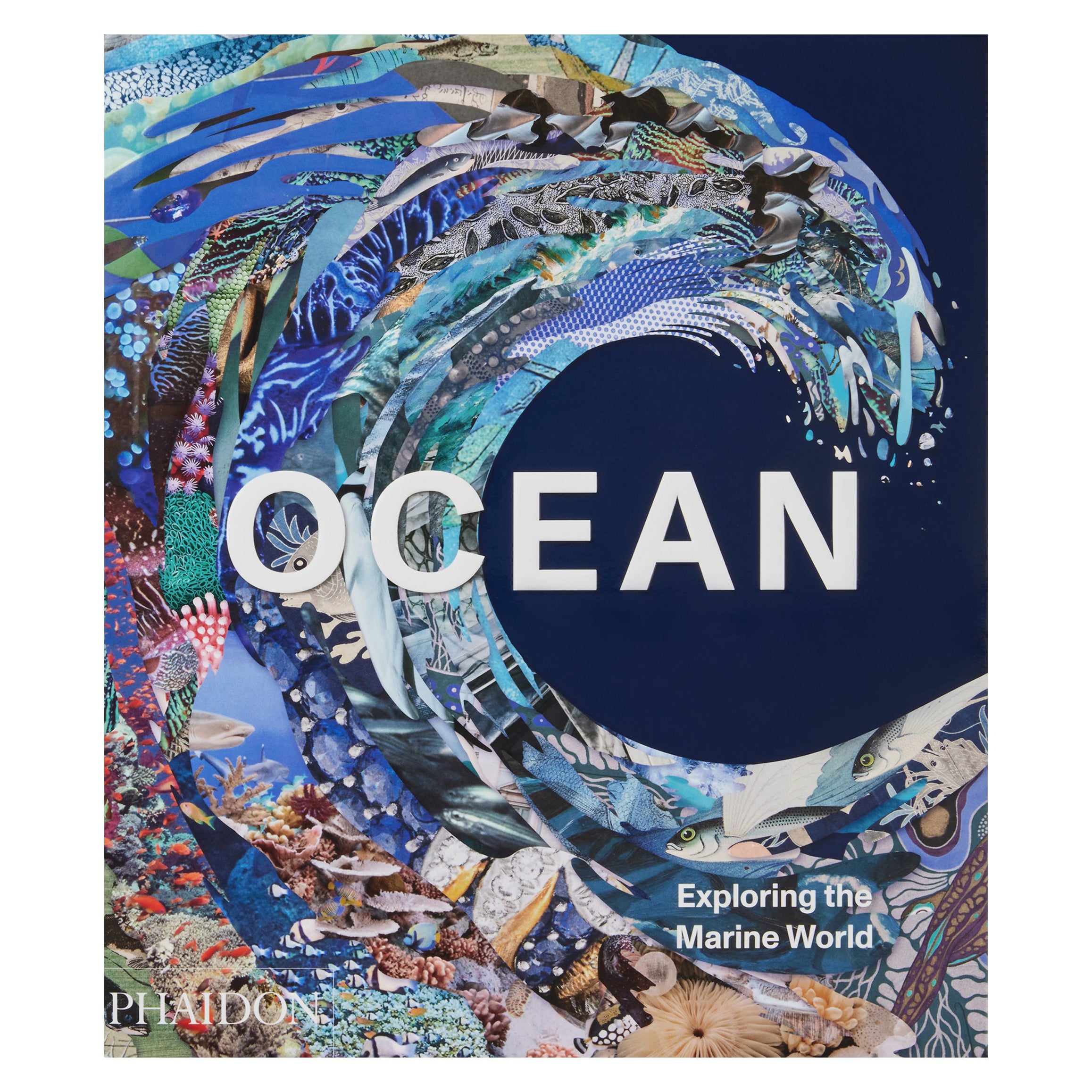
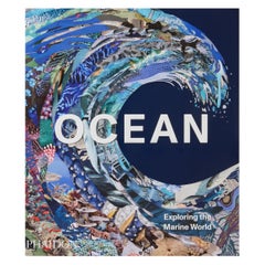
- Ocean, Exploring the Marine WorldBy PhaidonLocated in New York City, NYExperience the force, mystery, and beauty of the ocean and seas through more than 300 images - featuring underwater photography, oceanographic maps and scientific illustrations, as well as paintings, sculptures and popular films. Oceanography and art collide in this visual celebration of humans' relationship with the marine world. From early nautical cartography, scientific illustrations and astounding maps of the ocean floor to ancient Roman mosaics, Japanese woodblock prints and pop-culture ephemera Ocean takes readers across continents and cultures, spanning more than 3,000 years of history. Vivid, full-page images reveal prehistoric marine creatures and fossils, mysterious flora and fauna, mythical creatures of the deep and surfing icons of today. Explore the diverse groups of fish and coral on the Great Barrier Reef, jellyfish from the deepest location on Earth and life in the polar waters of the Arctic and Antarctic. Learn about the dangers facing our planet's oceans due to climate change activity and the dedicated efforts of conservationists to benefit our underwater ecosystems. Developed with a panel of marine biologists, research scientists, conservationists, photographers, museum curators and experts from organizations including the Wildlife Conservation Society and Scripps Institution of Oceanography, Ocean illustrates Sylvia Earle's observation: 'Everyone, everywhere is inextricably connected to and utterly dependent upon the existence of the sea. Featured artists, designers, explorers, photographers and other creators include: Mary Anning, Brian Skerry, Jacques Cousteau...Category
2010s Chinese Books
MaterialsPaper
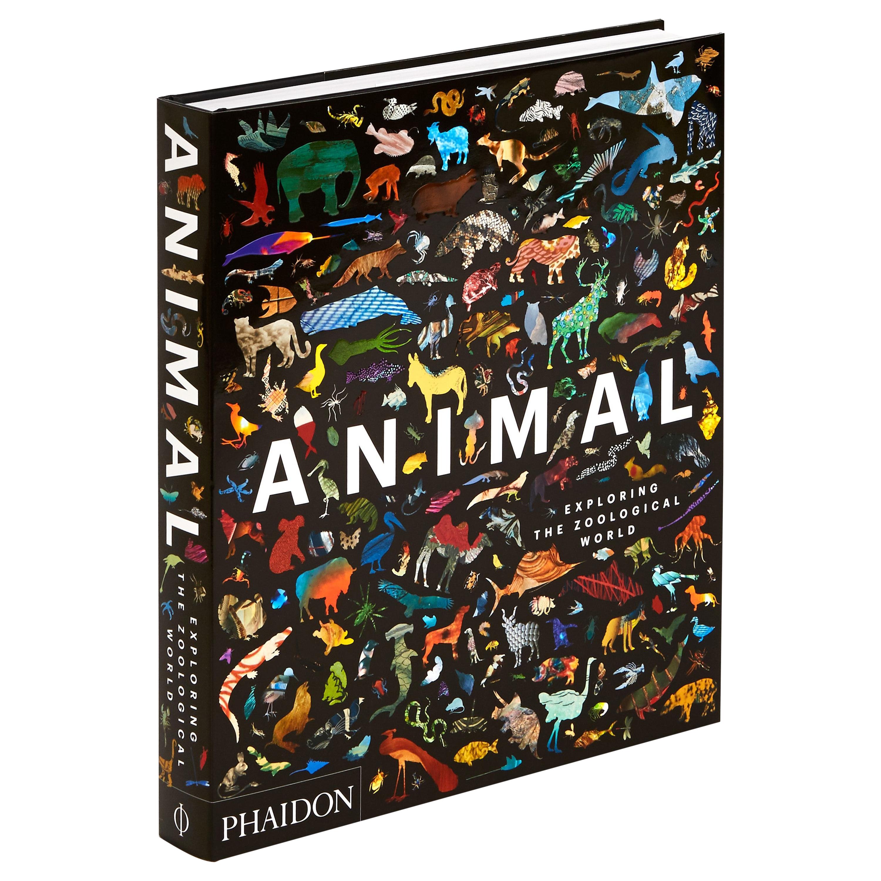
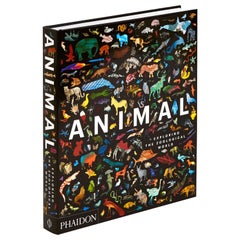
- Animal Exploring the Zoological WorldLocated in New York City, NYExplore the beauty and diversity of the animal world through more than 300 captivating images from across time and from every corner of the globe Animal: Exploring the Zoological Wor...Category
21st Century and Contemporary Books
MaterialsPaper
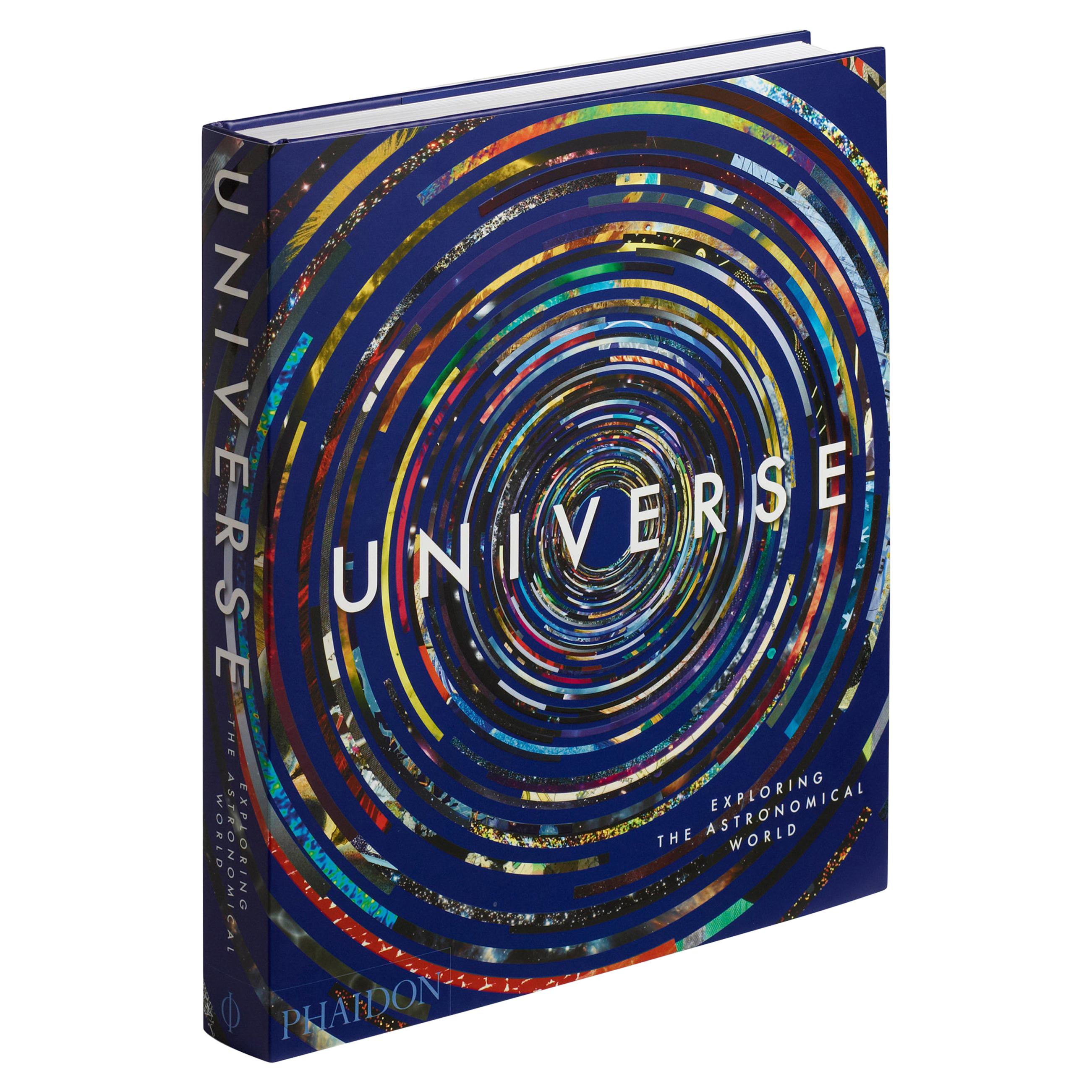
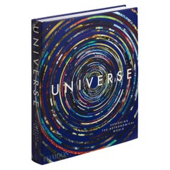
- Universe: Exploring the Astronomical WorldLocated in New York City, NYExplore the stars and planets and beyond through art over the ages, an international panel of experts take you on a journey through man's record of the universe, from ancient cave pa...Category
21st Century and Contemporary European Books
MaterialsPaper
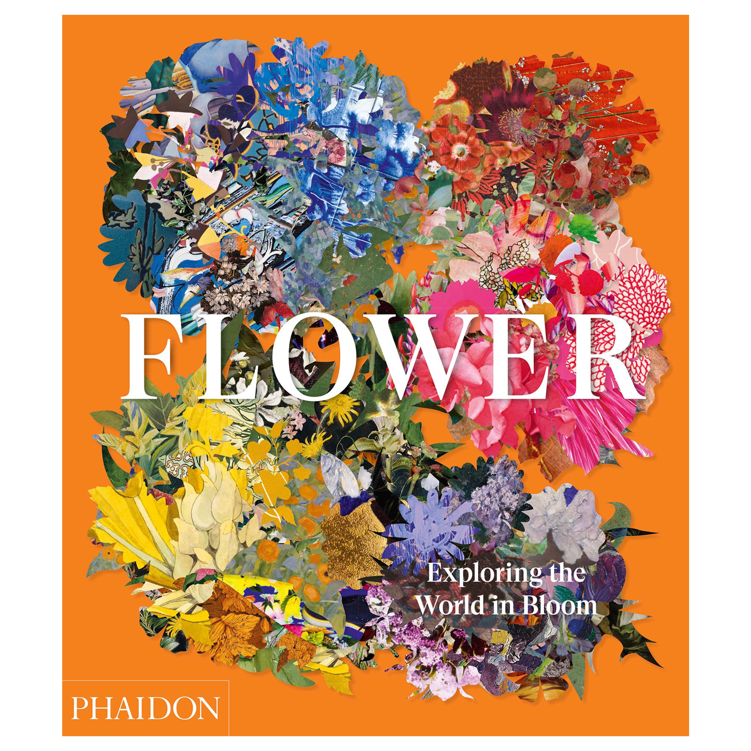
- Flower Exploring the World in BloomLocated in New York City, NYA comprehensive and sumptuous survey that celebrates the beauty and appeal of flowers throughout art, history, and culture The latest installment in the bestselling Explorer Serie...Category
21st Century and Contemporary Books
MaterialsPaper
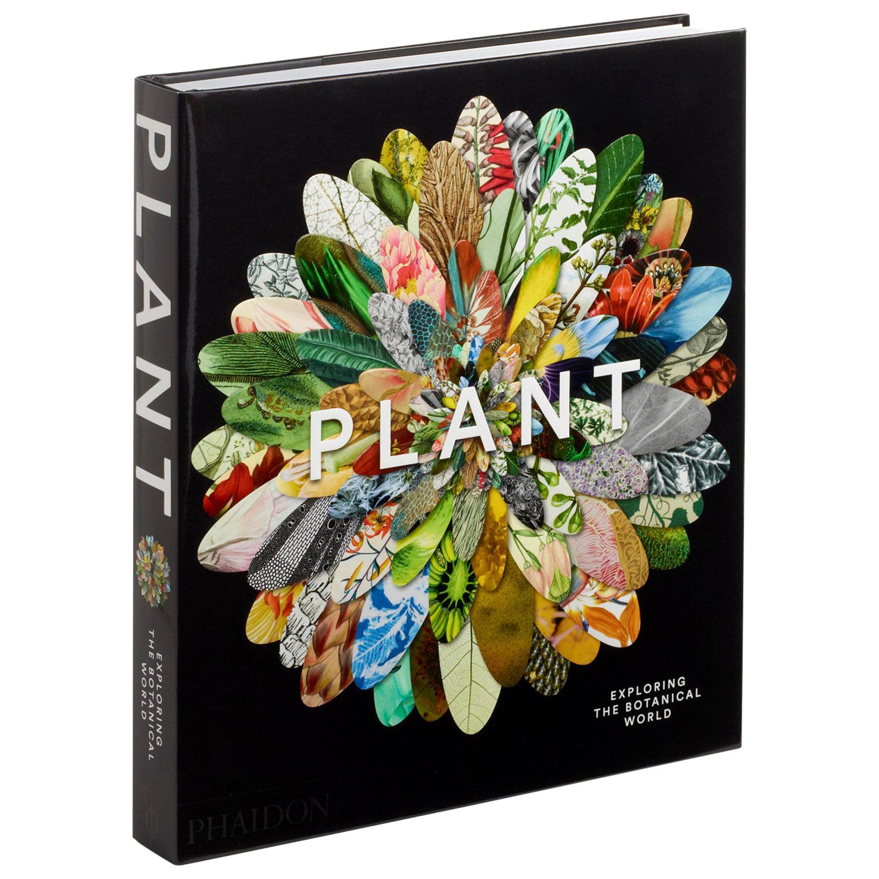
- "Plant Exploring the Botanical World" BookLocated in New York City, NYThe ultimate gift for gardeners and art-lovers, featuring 300 of the most beautiful and pioneering botanical images ever Following in the footsteps of the international bestseller...Category
21st Century and Contemporary European Books
MaterialsPaper


You May Also Like
- Colored wall map of the WORLDBy ChambonLocated in ZWIJNDRECHT, NL“Mappe Monde, contenant les Parties Connues du Globe Terrestre” CHAMBON, Gobert-Denis (France, 17.. - 1781) Paris, Longchamps et Janvier, 1754 Size H. 115 x W. 145 cm. Gobert-Denis Chambon made copper engraving after the work of Guillaume De L’Isle, published in 1754 by Jean Janvier and S.G. Longschamps. A huge wall map of the world in two hemispheres printed on two sheets, depicting the Eastern and Western hemispheres supported by two male figures, decorated at the bottom right and left with two celestial hemispheres (boreal and southern) and at the bottom in the middle with an armillary sphere, in addition. This map is most notable for its depiction of the Sea of Japan labeled "Mer de Corée" and of "Mer de L'Ouest" or Sea of the West - a great sea, easily the size of the Mediterranean, to flow from the then-known Strait of Juan de Fuca...Category
Antique Mid-18th Century French French Provincial Maps
MaterialsWood, Paper

- World Relief MapLocated in Antwerp, BELarge world relief map. Measures: Width 232 cm. Height 158 cm.Category
Mid-20th Century German Mid-Century Modern Maps
MaterialsAcrylic
- Antique Map of the Eastern Part of the WorldLocated in Langweer, NLAntique map titled 'Nieuwe Kaart van het Oostelykste Deel der Weereld, diendende tot aanwyzing van de Scheepstogten der Nederlanderen Naar Oostindie'. This finely engraved map of the...Category
Antique Mid-18th Century Maps
MaterialsPaper
- Antique Map of the World by Balbi '1847'Located in Langweer, NLAntique map titled 'Planisphère'. Original antique map of the world. This map originates from 'Abrégé de Géographie (..)' by Adrien Balbi. Pub...Category
Antique Mid-19th Century Maps
MaterialsPaper
- Antique Map of the World by A. Vuillemin, 1854By Victor LevasseurLocated in Langweer, NLThis map originates from ‘Atlas National de la France Illustré’. Published by A. Combette, Paris, 1854.Category
Antique Mid-19th Century Maps
MaterialsPaper
- Antique Map of the World by Ferrario '1831'Located in Langweer, NLOriginal antique map of the world. This print originates from 'Costume Antico e Moderno: Palestine, China, India, Oceania' by Ferrario. Publis...Category
Antique Mid-19th Century Prints
MaterialsPaper


Recently Viewed
View AllMore Ways To Browse
Heinrich Berann
Vegetarian Cookbook
Domino Bookshelf
Jjp Oud
John Maclean
L Howard Leather
Louis Vuitton Catalogue Book
Louis Vuitton Le Catalogue
Marian Mcevoy
Michael Lipitch
Rolex Marine Chronometer
Rolex Perpetual Spirit
Rolex Story Book
Rupert Williamson
Sc Hermes
Set Of Small Shakespeare Books
Soane Lighting
Sweet Bird Of Youth