Old Industrial Large Size Dutch Churn from circa 1900
View Similar Items
1 of 5
Old Industrial Large Size Dutch Churn from circa 1900
About the Item
- Dimensions:Height: 31.4 in (79.76 cm)Width: 27.5 in (69.85 cm)Depth: 27.5 in (69.85 cm)
- Materials and Techniques:
- Place of Origin:
- Period:
- Date of Manufacture:circa 1900
- Condition:Wear consistent with age and use.
- Seller Location:Raalte, NL
- Reference Number:1stDibs: LU272439465633
You May Also Like
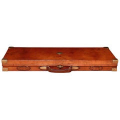
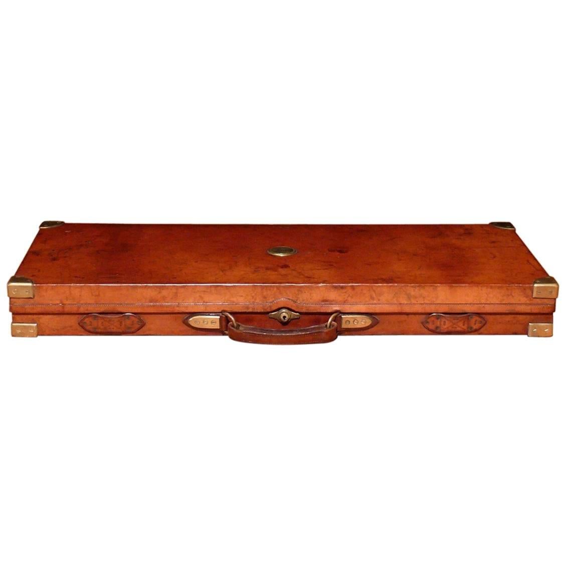
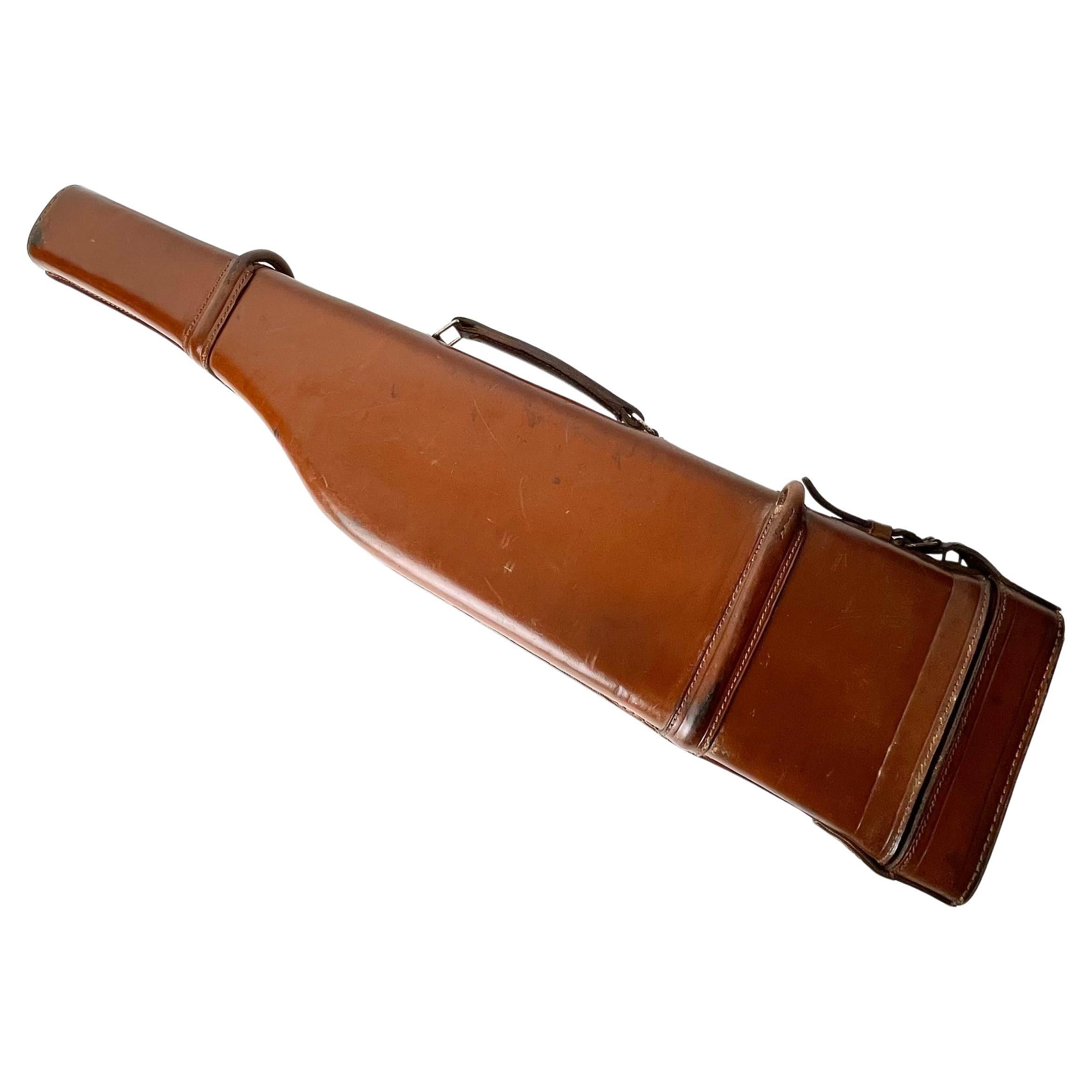
- Holland and Holland Leather Double Gun Case, circa 1900Located in London, GBA beautiful leather on oak double gun case made to house a pair of side by side double barrel 12 bore shotguns. With original felt lined interior and elabora...Category
Antique Early 1900s English Arms, Armor and Weapons
MaterialsBrass
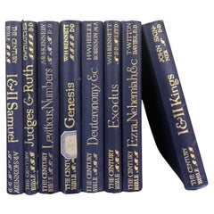
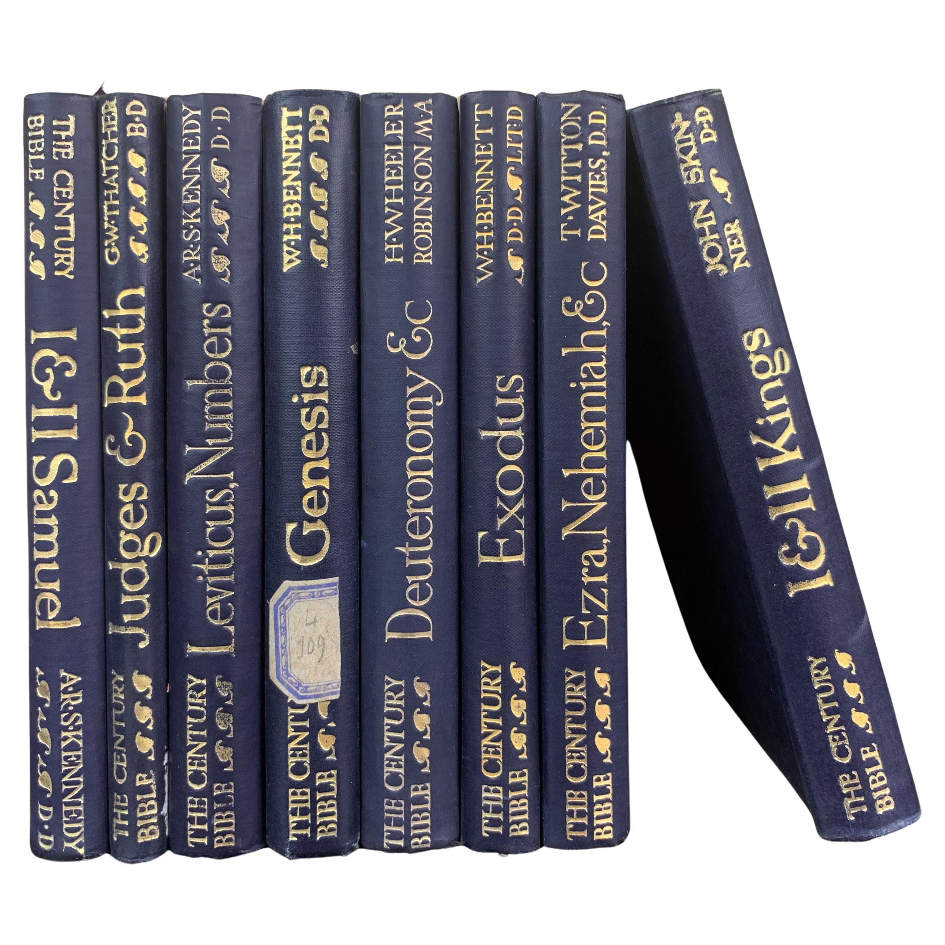
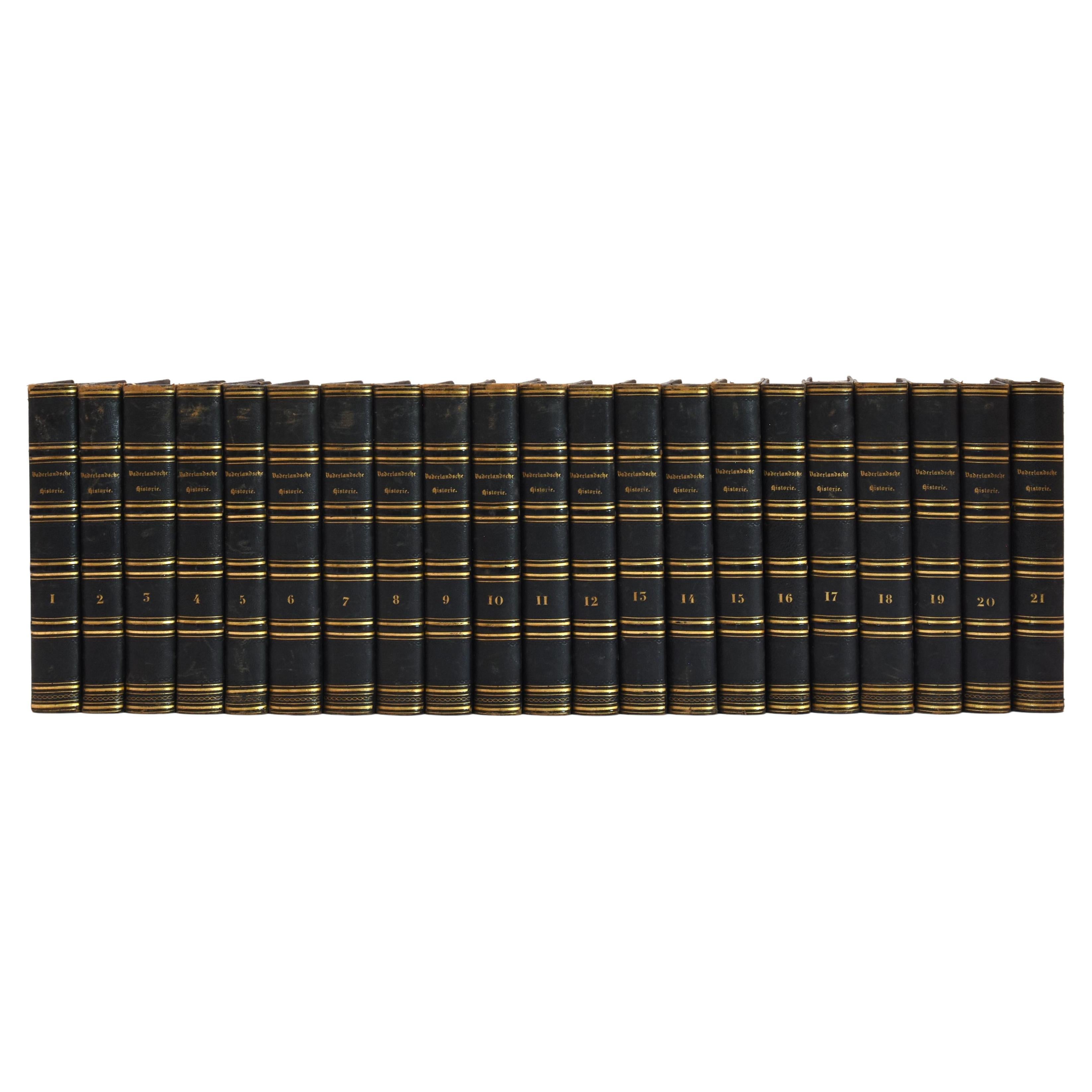
- Set of Old Religious Books circa 1900Located in Beuzevillette, FRSet of old books dating from the 19th century. From an old protestant library near Le Havre in France. These beautiful books are perfect to fill a nic...Category
Early 20th Century French Books
MaterialsPaper
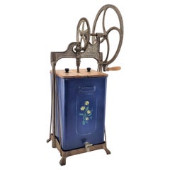
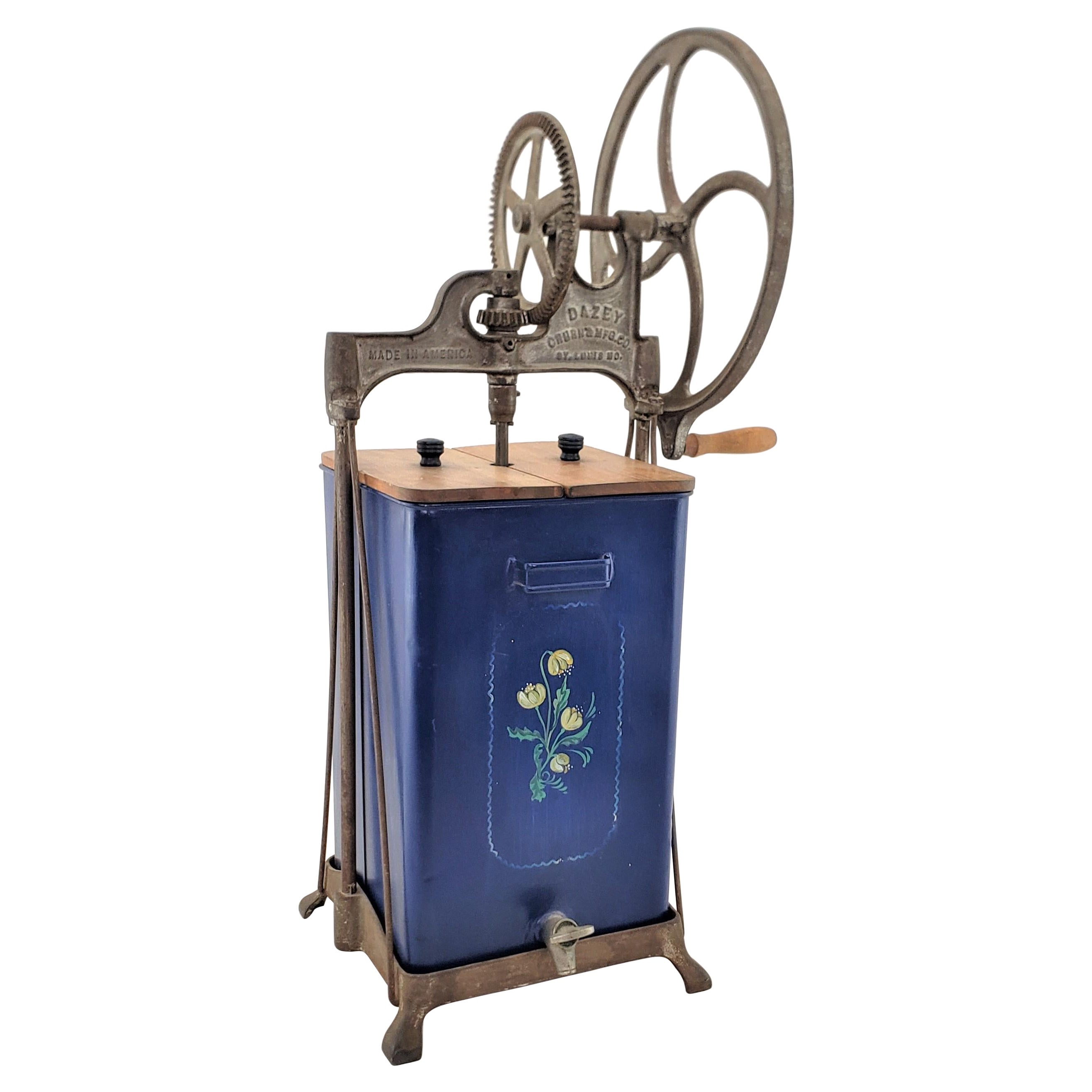
- Antique Dazey Commercial Industrial Churn or Mixer with Toleware Decoration USALocated in Hamilton, OntarioThis antique commercial churn or mixer was made by the Dazey Manufacturing Company of St. Louis in approximately 1920 in a period Art Deco style. The frame and gear mechanism of the ...Category
Early 20th Century American Art Deco Scientific Instruments
MaterialsMetal
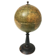
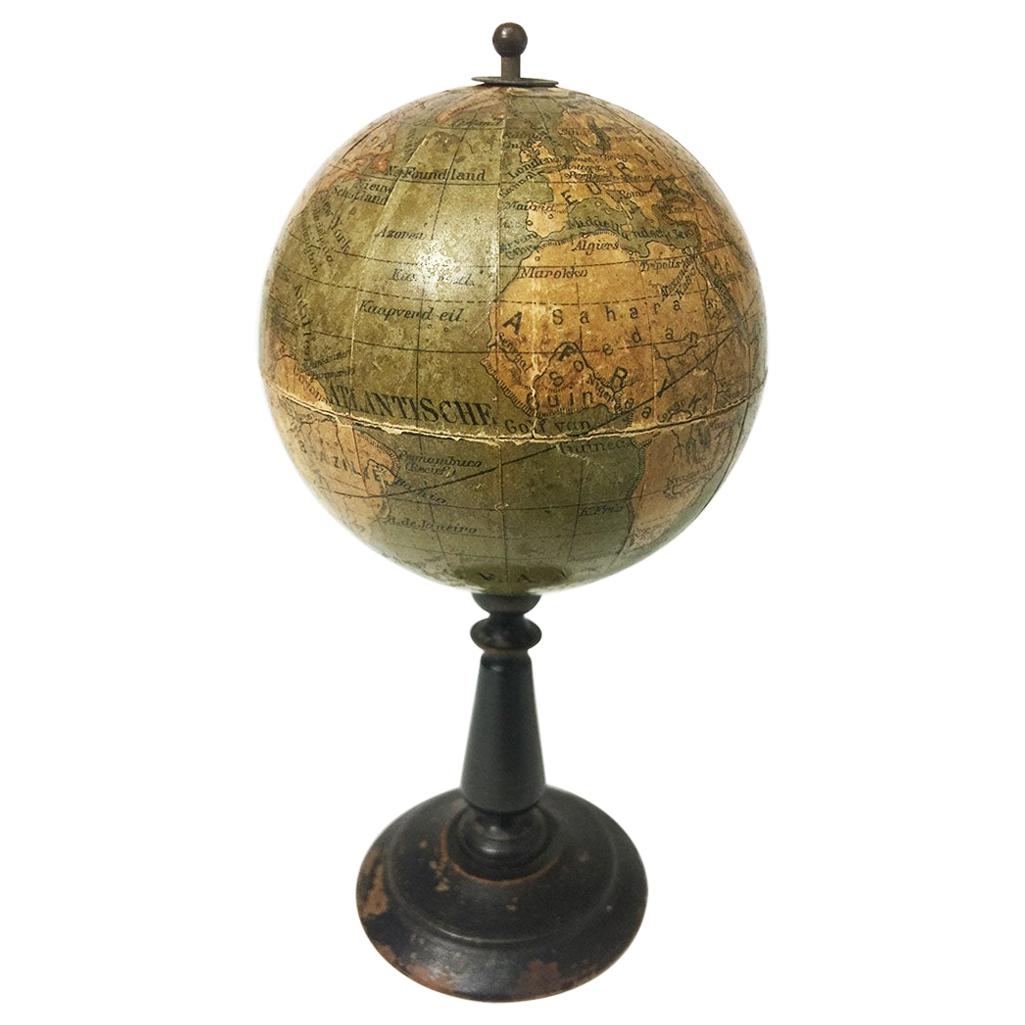
- Dutch Miniature Terrestrial Globe on Wooden Base, circa 1900Located in Delft, NLDutch miniature terrestrial globe on wooden base, 16 cm high A miniature globe made of papier mâché with Dutch text on a wooden stand, circa 1900 Used object The measurements...Category
Antique 19th Century Dutch Models and Miniatures
MaterialsWood, Paper
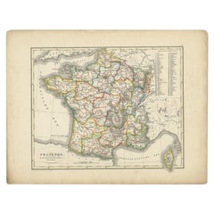
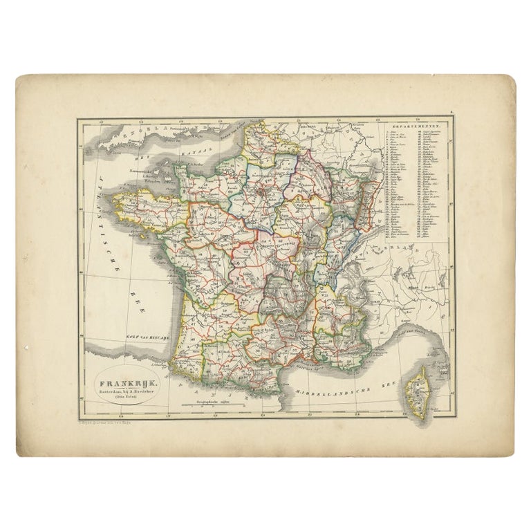
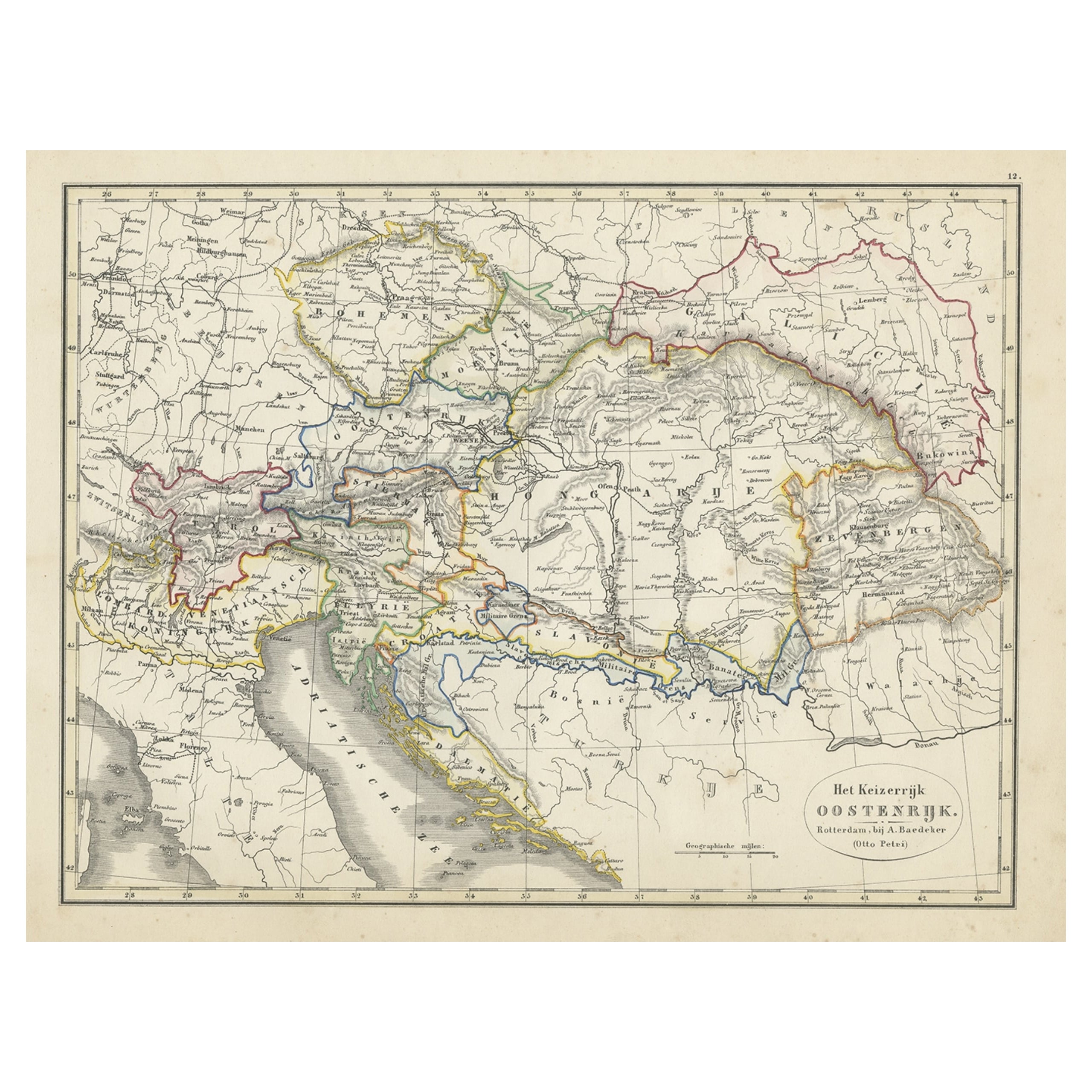
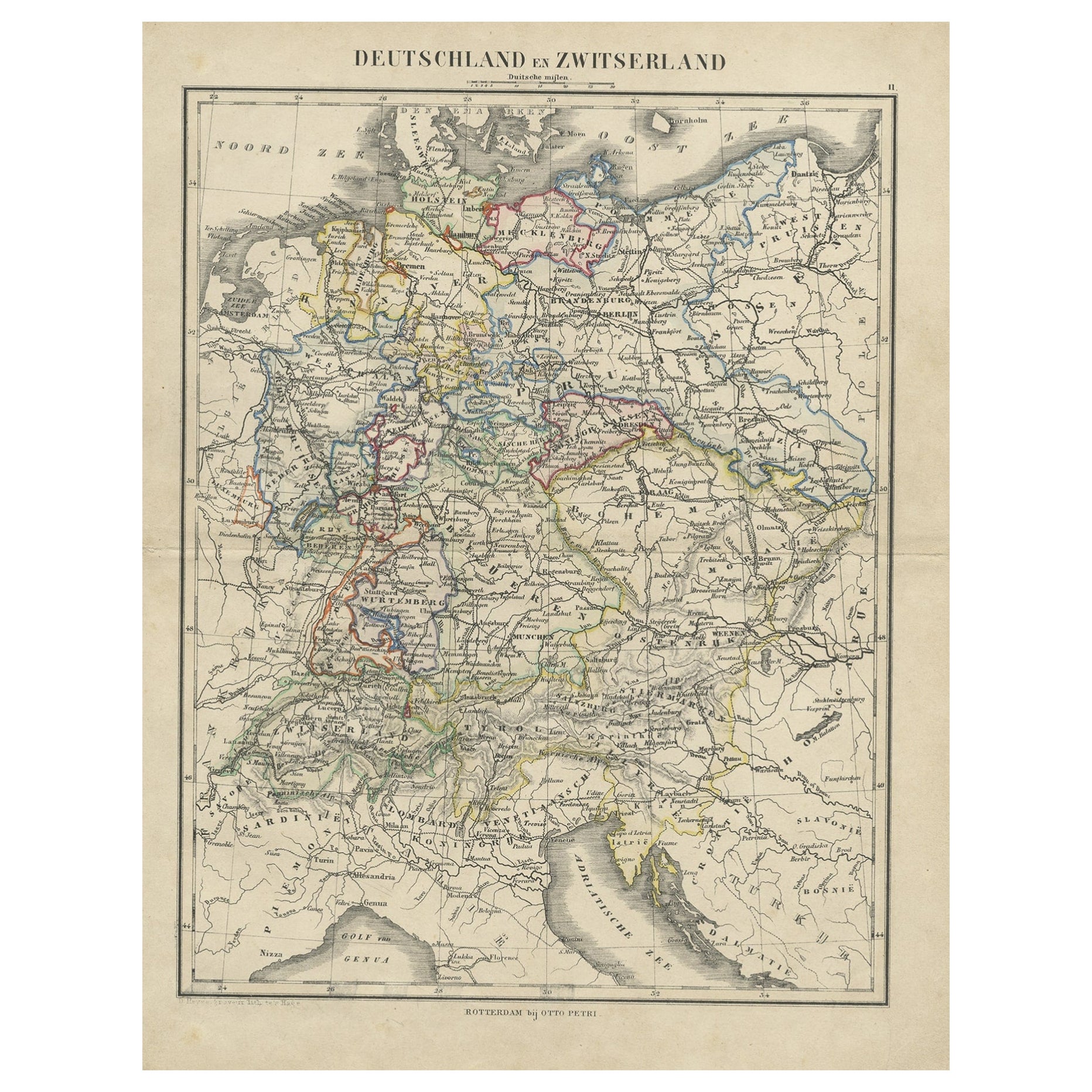
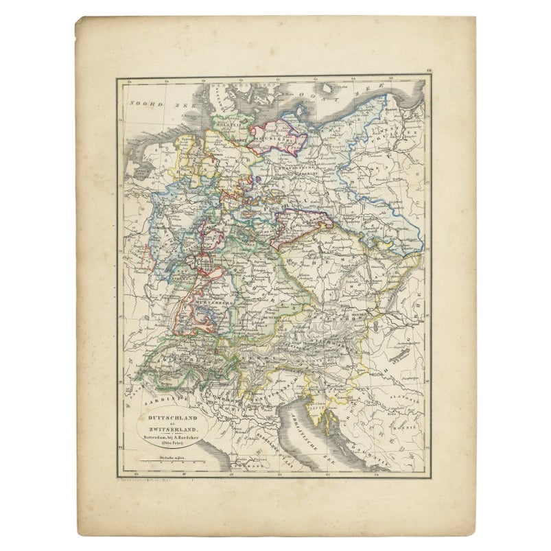
- Antique Map of France from an Old Dutch School Atlas, 1852Located in Langweer, NLAntique map titled 'Frankrijk'. Map of France. This map originates from 'School-Atlas van alle deelen der Aarde' by Otto Petri. Artists and Engravers: Published by A. Baedeker (Otto ...Category
Antique 19th Century Maps
MaterialsPaper
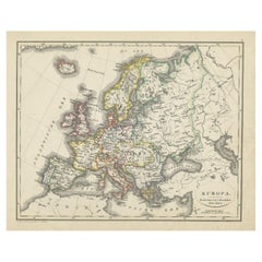
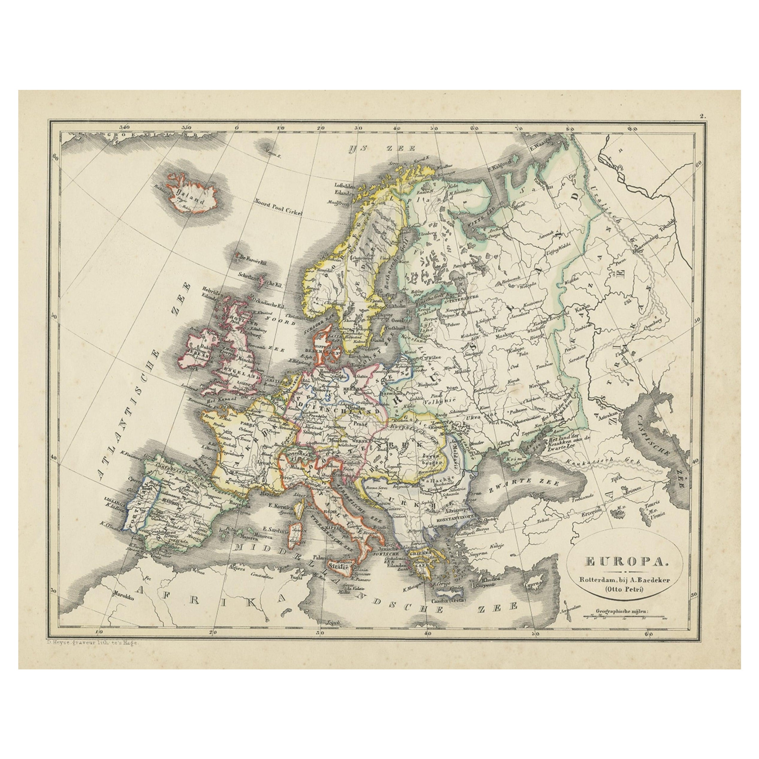
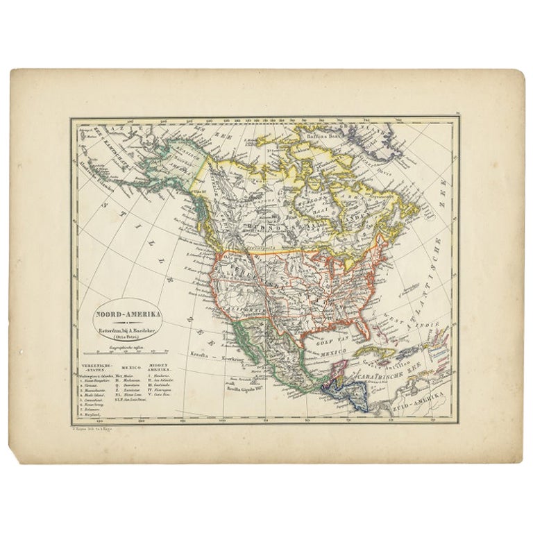
- Antique Map of Europe from an Old Dutch School-Atlas, 1852Located in Langweer, NLAntique map titled 'Europa'. Map of Europe. This map originates from 'School-Atlas van alle deelen der Aarde' by Otto Petri. Artists and Engravers: Published by A. Baedeker (Otto...Category
Antique 19th Century Maps
MaterialsPaper