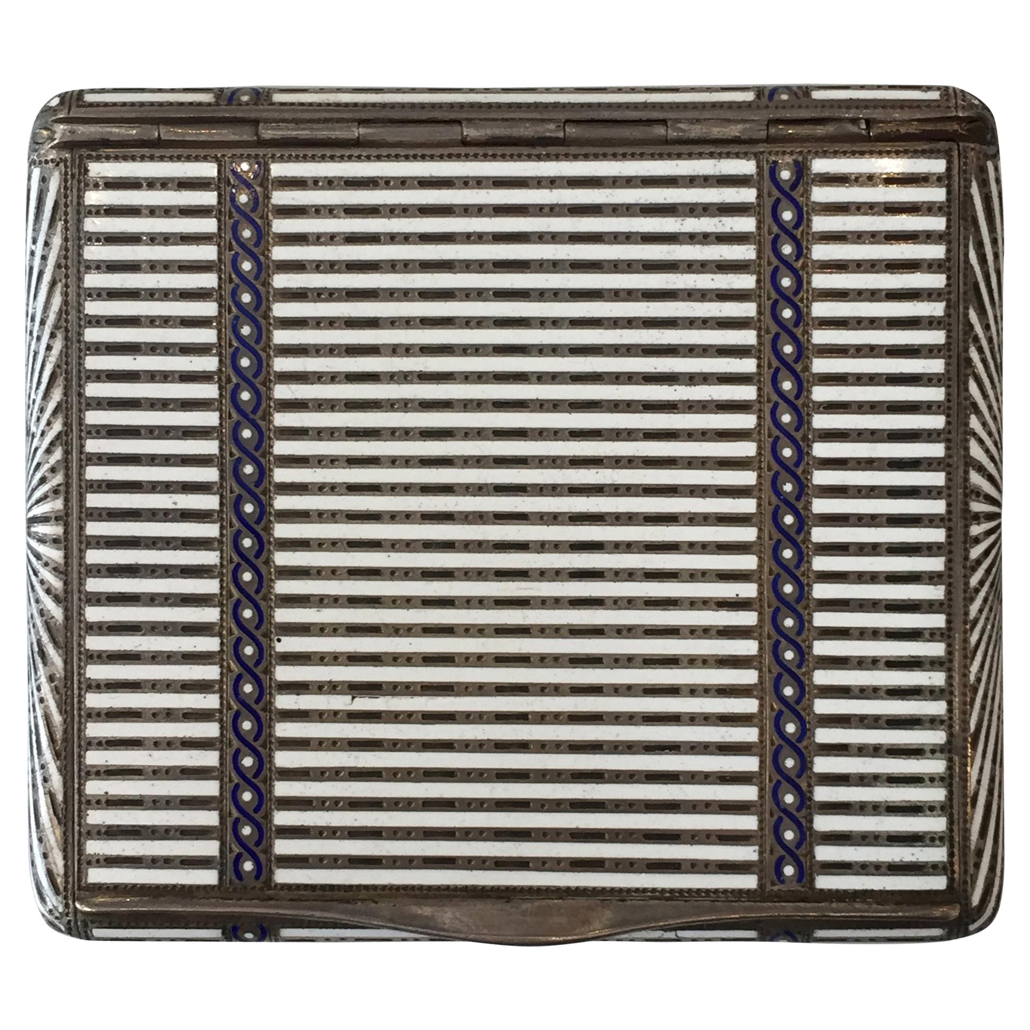
M.C.C. Triple Award Winner for 1934 Sterling Silver Map and Route
View Similar Items
1 of 4
M.C.C. Triple Award Winner for 1934 Sterling Silver Map and Route
About the Item
- Creator:Motor Cycling Club (MCC) (Designer)
- Dimensions:Height: 120 in (304.8 cm)Width: 6 in (15.24 cm)Depth: 1 in (2.54 cm)
- Materials and Techniques:
- Place of Origin:
- Period:
- Date of Manufacture:1934
- Condition:Wear consistent with age and use.
- Seller Location:Vancouver, CA
- Reference Number:1stDibs: LU90081170492
You May Also Like
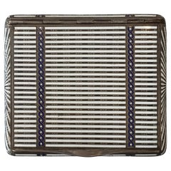
- Aage Hjalmer Steenberg Sterling Silver Case, Denmark, 1934By Aage Hjalmar SteenbergLocated in Van Nuys, CASterling silver enamel guilloche compact by Danish designer Aage Hjalmer Steenberg. Makers Mark reads, "1429 836 STERLING" with the hallmark "AHS". ...Category
Vintage 1930s Danish Art Deco Tobacco Accessories
MaterialsSterling Silver
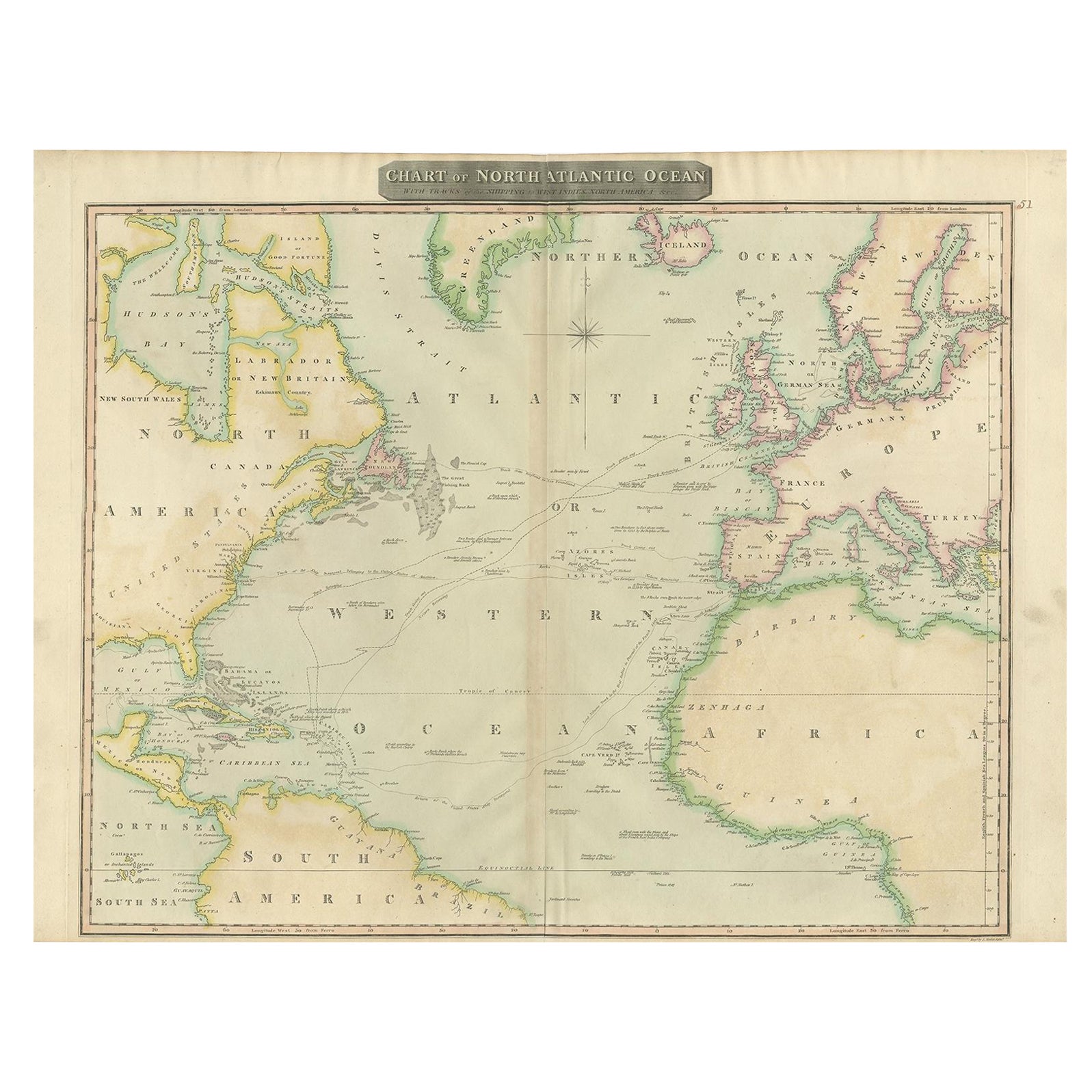
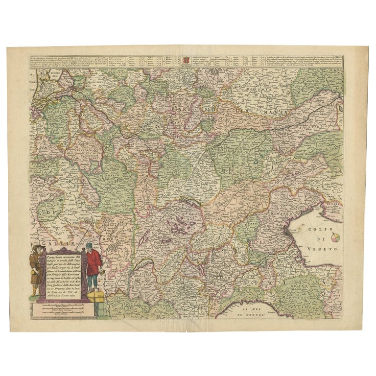
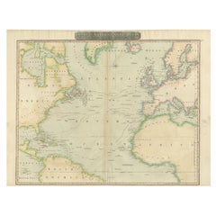
- Interesting Map of the Atlantic Showing Nelson's and Trade Routes, 1817By John ThomsonLocated in Langweer, NLAntique map titled 'Chart of the North Atlantic Ocean with Tracks of the Shipping to West Indies, North America, &cc'. Large map of the Atlantic, showing the tracks of the ships trad...Category
Antique 19th Century Maps
MaterialsPaper
 $483 Sale Price20% OffFree Shipping
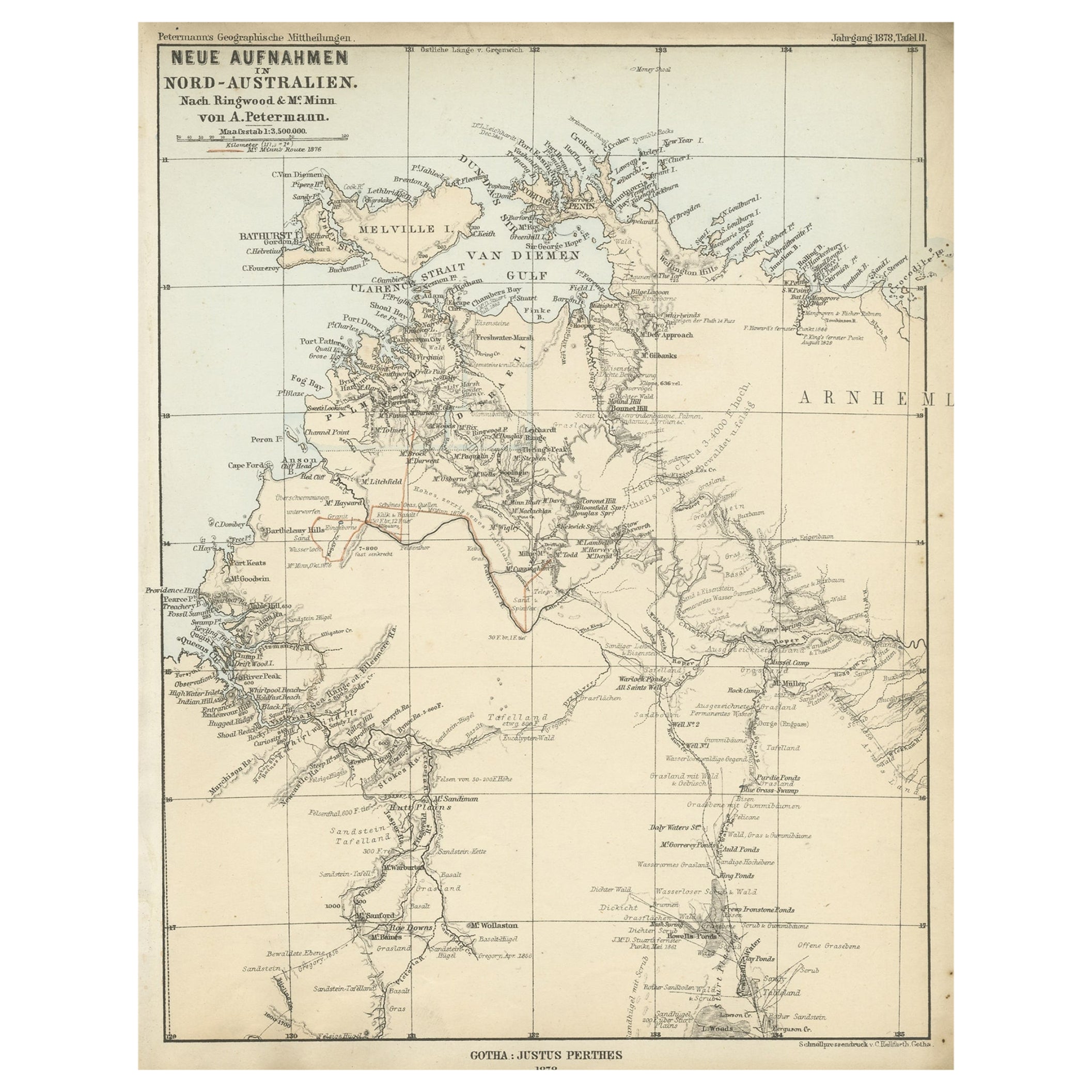
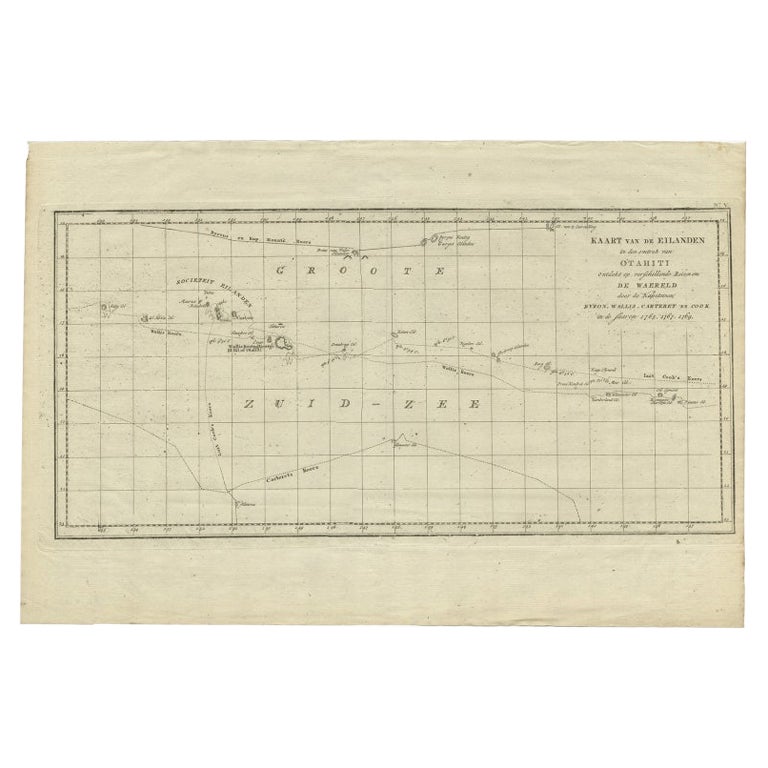
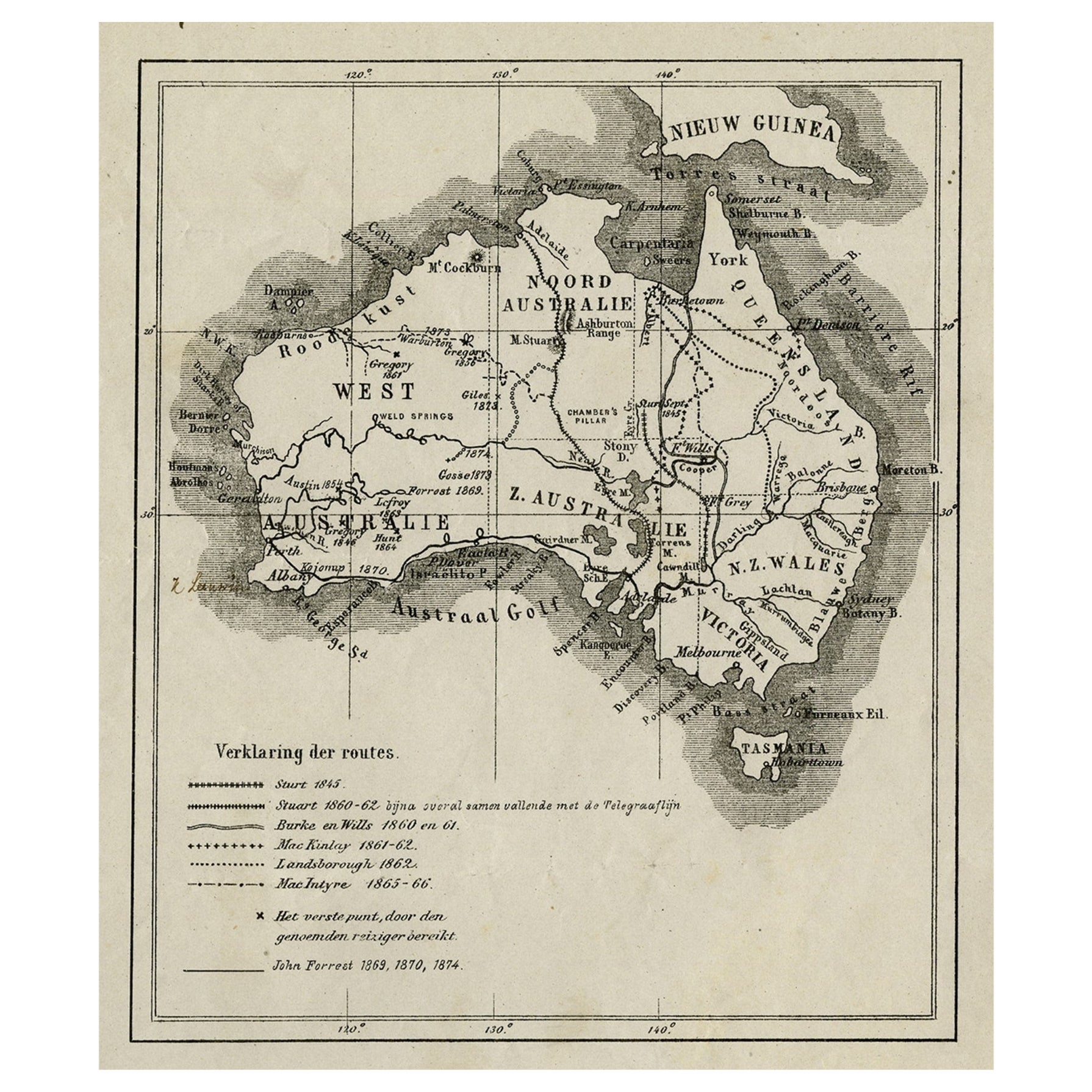
 - Northern Australia Map with The Routes of Explorers Ringwood and McMinn, 1878Located in Langweer, NLAntique map titled 'Neue Aufnahmen in Nord-Australien'. Old map of Northern Australia showing the 'new routes' of the exploration of Ringwood and McMinn. Covers as far east as pa...Category
Antique 1870s Maps
MaterialsPaper
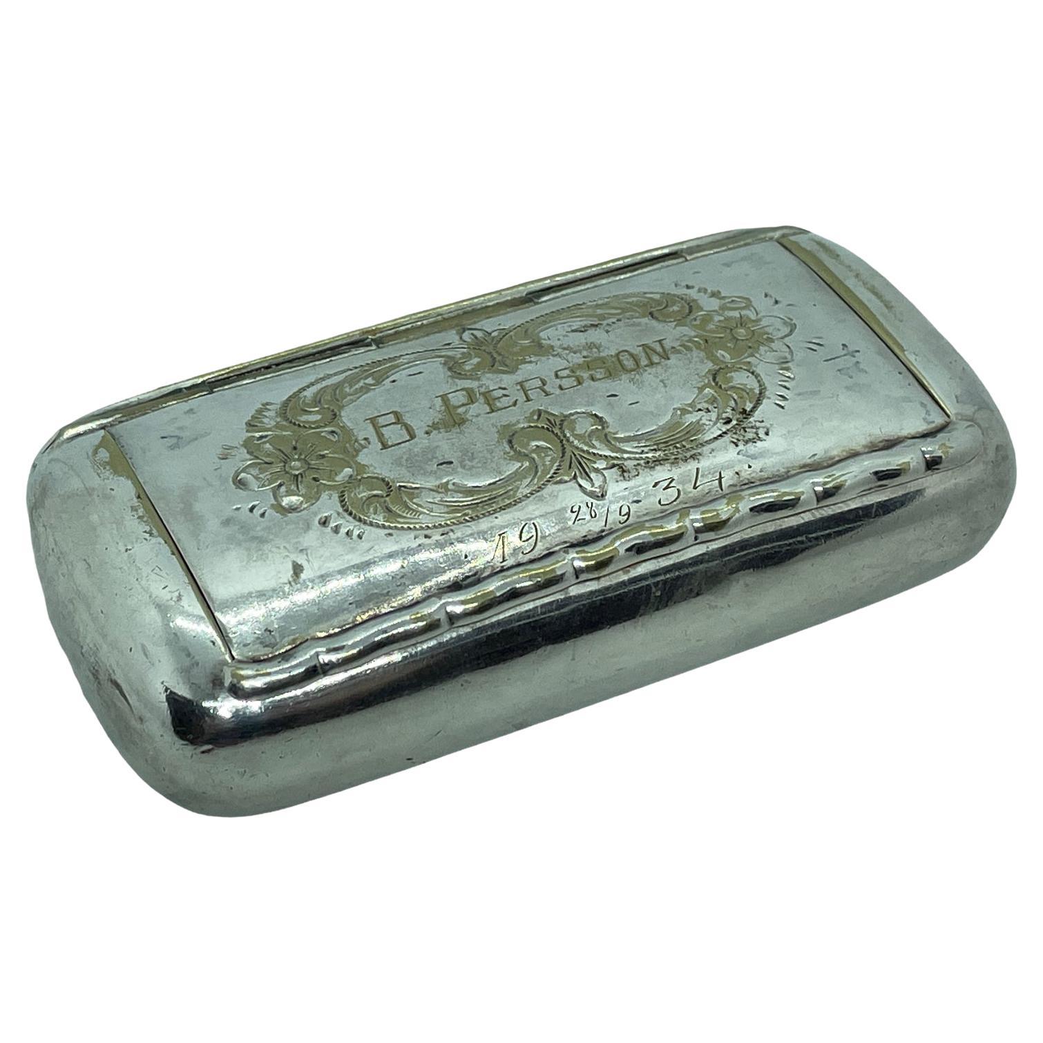
- Beautiful Silver Plate Snuff Box for B. Persson, Sweden, 1934Located in Nuernberg, DEBeautiful snuff box engraved with Date 1934, made for B. Persson probably as a gift. Made of silver-plate alpaca, with nice patina. A nice addition in every man cave or just to displ...Category
Vintage 1930s German Mid-Century Modern Tobacco Accessories
MaterialsSilver Plate
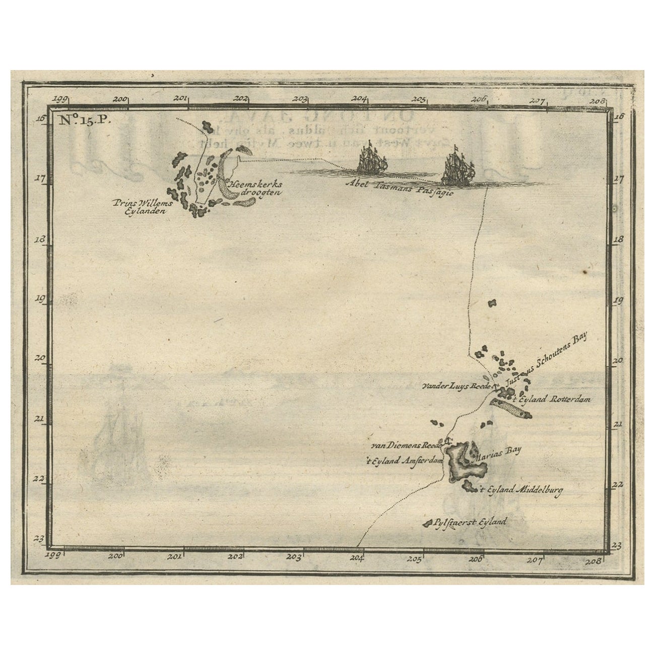
- Antique Map of the Banda Islands and the Route of Abel Tasman, Indonesia, 1726Located in Langweer, NLAntique print Indonesia with an image on each side. The first image depicts Ontong Java, one of the largest atolls on earth. On verso: antique map of the Banda Islands. With the rout...Category
Antique 1720s Maps
MaterialsPaper
 $371 Sale Price24% Off
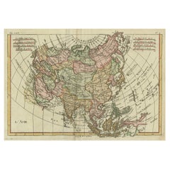
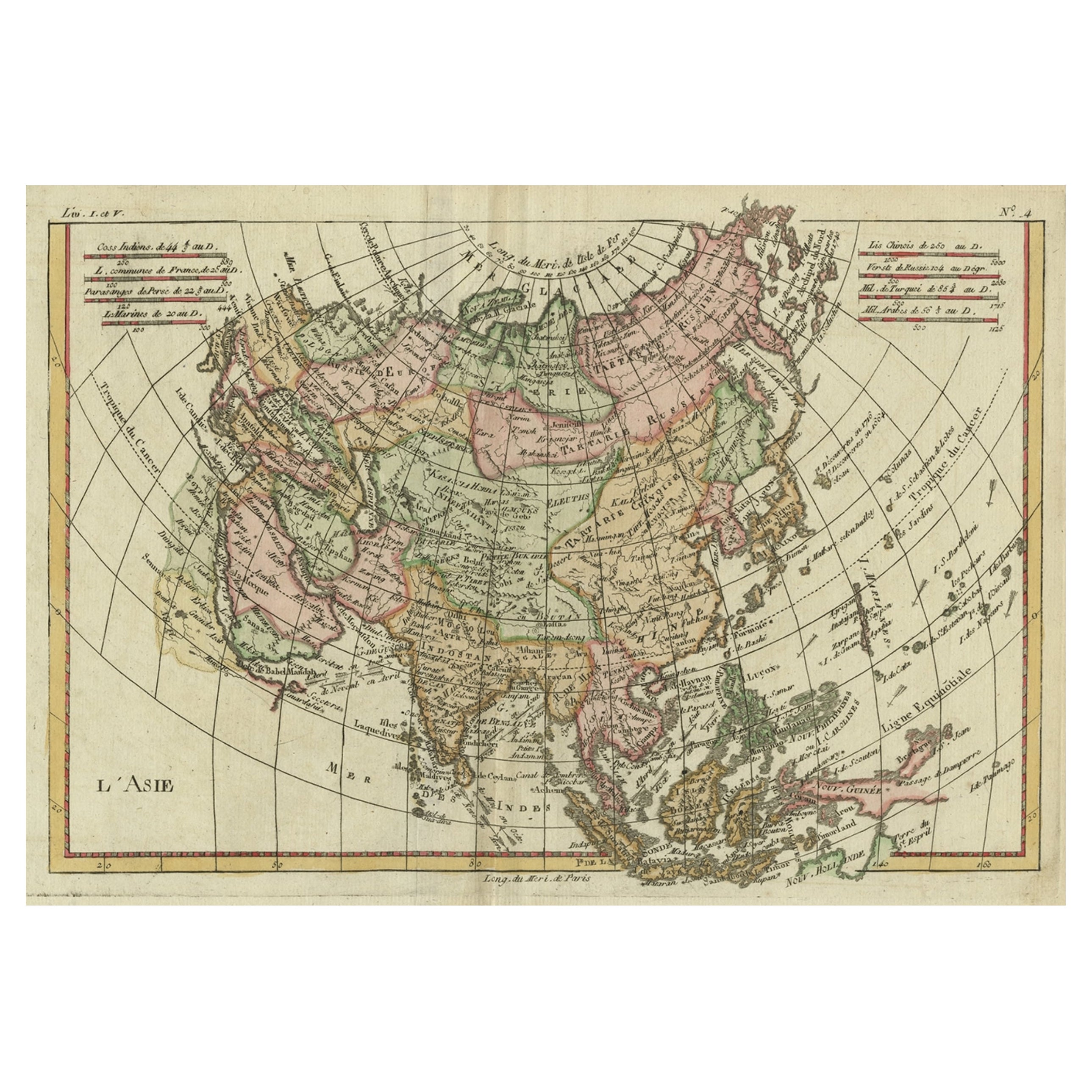
 - Antique Map of Asia, Showing Tradewinds, Silke Route Cities Etc, c.1780Located in Langweer, NLAntique map titled 'L'Asie.' Map of Asia. Offers considerable detail considering the size, showing the tradewinds in the Pacific and Indian Oceans as well as numerous Silk Route citi...Category
Antique 18th Century Maps
MaterialsPaper