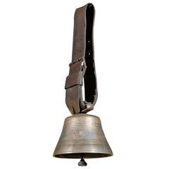
Swiss Brass Glocken Cowbell
View Similar Items


1 of 10
Swiss Brass Glocken Cowbell
About the Item
- Dimensions:Height: 24 in (60.96 cm)Width: 8.5 in (21.59 cm)Depth: 8.5 in (21.59 cm)
- Place of Origin:
- Period:
- Date of Manufacture:19th Century
- Condition:Wear consistent with age and use.
- Seller Location:Atlanta, GA
- Reference Number:Seller: FR14-002B1stDibs: LU84771717252
You May Also Like
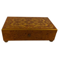
- Classic Burl Walnut with Inlaid Brass Swiss Music BoxLocated in Lambertville, NJThis beautiful burl walnut music box with elegant brass inlaid top plays four different tunes. The rich sound resonated richly and has the workings made in Switzerland. The on and of...Category
20th Century Swiss Musical Instruments
MaterialsBrass
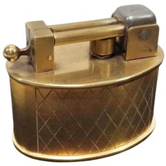
- Swiss Brass Lift Arm Tabletop Lighter By Brilux for DunhillBy Gubelin, DunhillLocated in Van Nuys, CACirca 1950 Made in Switzerland made by Brilux and distributed by Dunhill. Beautifully made brass lighter with spring lift arm flint mechanism where the spring is contained in a shaft...Category
Vintage 1950s Tobacco Accessories
MaterialsBrass
- Antique Watchmaker's Lathe, Swiss, Brass, Copper Precision Instrument circa 1900Located in Hele, Devon, GBThis is a fantastic antique watchmaker's lathe. A Swiss, quality brass, copper and stainless steel precision instrument, dating to the late 19th century, circa 1900. An exquisite and rare antique lathe...Category
Antique Late 19th Century Swiss Scientific Instruments
MaterialsBrass
- 1950s Swiss Chef Food Fruit Vegetable Chopper SwitzerlandLocated in Chula Vista, CA1950s Swiss chef food fruit vegetable chopper. Made in Switzerland, Fruit-vegetable chopper. Vintage, pre-owned. Patina present. Clear plastic has s...Category
Mid-20th Century Swiss Mid-Century Modern Scientific Instruments
MaterialsMetal
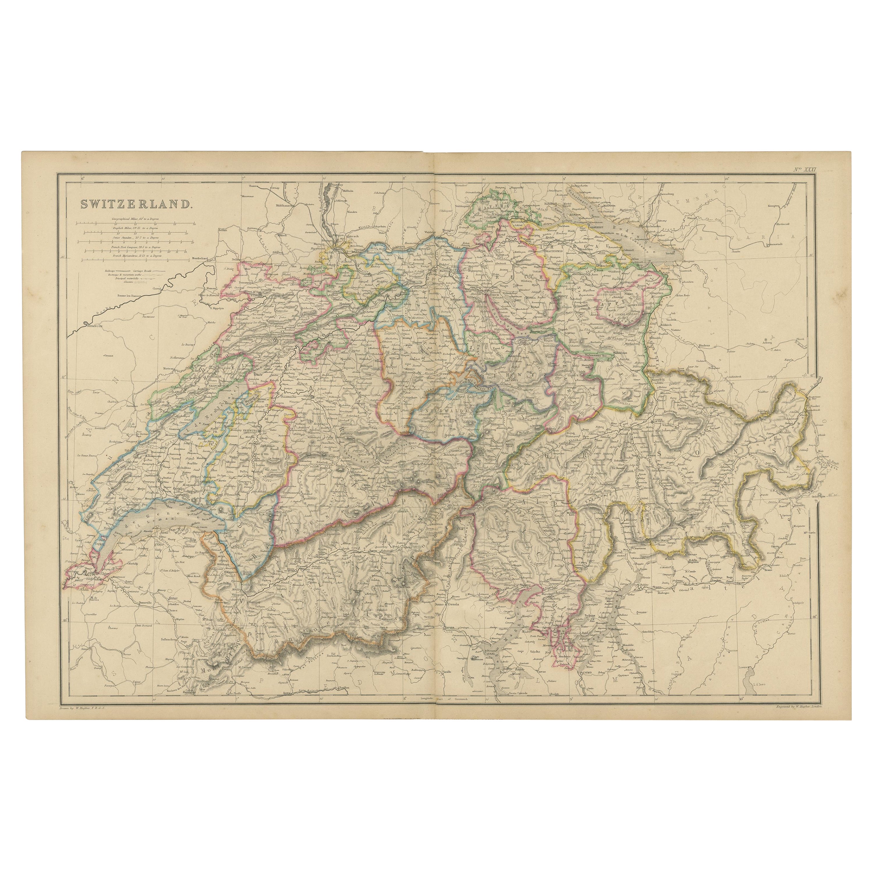
- 1859 Antique Swiss Panorama: Blackie's Detailed Map of SwitzerlandLocated in Langweer, NLThe "Antique Map of Switzerland" is a distinguished piece from 'The Imperial Atlas of Modern Geography', published in 1859 by the renowned cartographer W. G. Blackie. This map presen...Category
Antique Mid-19th Century Maps
MaterialsPaper
 $192 Sale Price30% Off
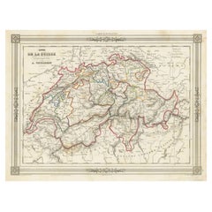
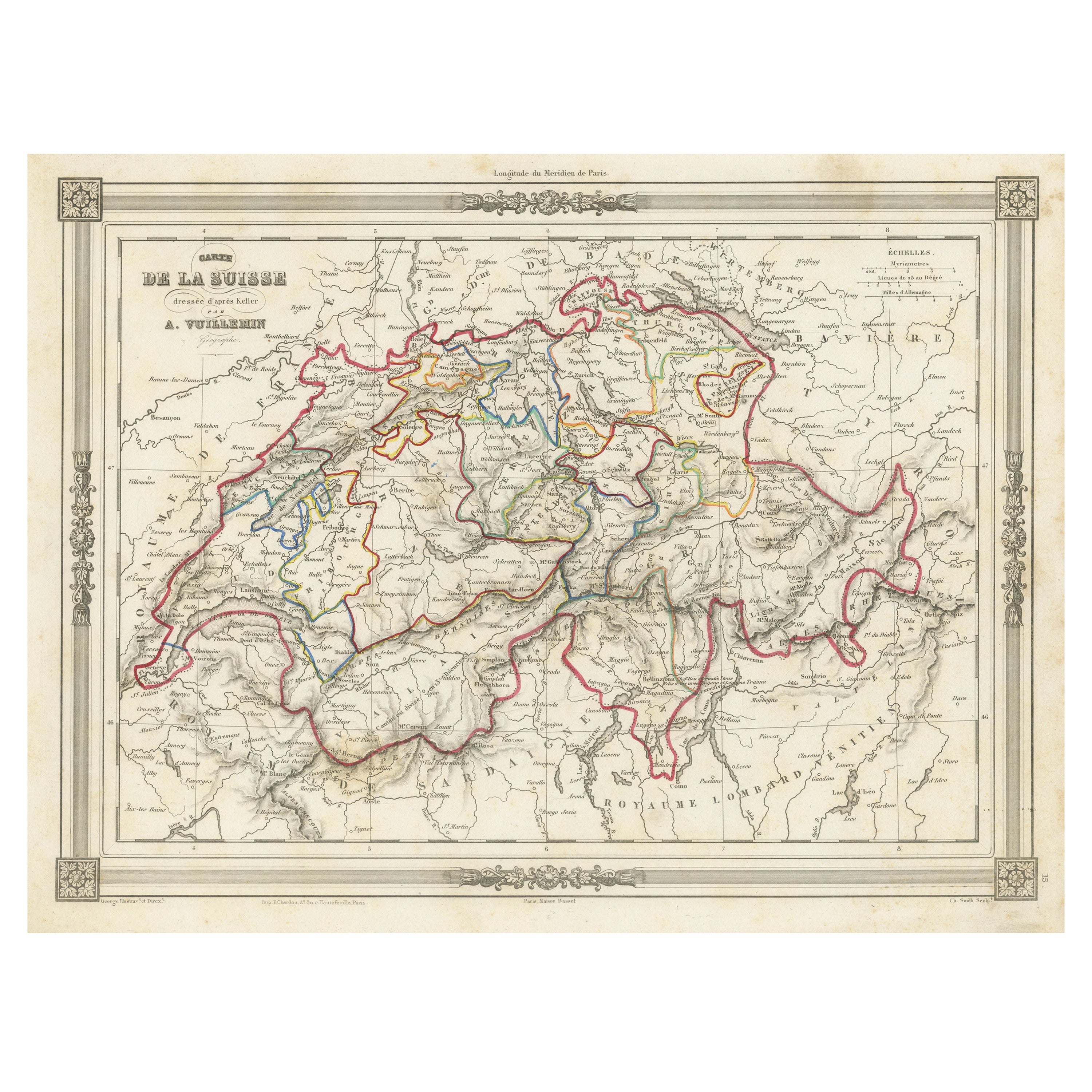
 - Swiss Splendor: Antique Map of Switzerland and Its Cantons, 1852Located in Langweer, NLThe antique map titled 'Carte de la Suisse' is an attractive map of Switzerland. Here are the key details and features of the map: 1. **Geographic Coverage**: - The map provides comprehensive coverage of Switzerland, depicting the entire country. - It showcases the division of Switzerland by Cantons, including regions from Vaud to Grisons. - Additionally, the map includes parts of adjacent countries, such as France, Germany, and Italy, providing context for Switzerland's geographical location. 2. **Cartographic Details**: - The map offers detailed cartographic information, including the delineation of geographic features, rivers, mountains, and the names of Cantons and towns. - It presents a clear and informative representation of Switzerland's topography. 3. **Origin**: - This map originates from Maison Basset's 1852 edition of 'Atlas Illustre Destine a l'enseignement de la Geographie elementaire,' indicating its use for educational purposes, particularly in the teaching of geography. 4. **Educational Significance**: - As part of an educational atlas, the map likely played a role in instructing students about the geography of Switzerland and its political subdivisions. - It may have been employed as a visual aid to enhance students' understanding of Switzerland's Cantonal divisions. 5. **Aesthetic Appeal**: - The map is described as attractive, suggesting that it possesses not only educational value but also visual appeal. - Maps of this era often featured decorative elements that added to their aesthetic charm. 6. **Historical and Geopolitical Significance**: - Switzerland's unique position in Europe, as a country surrounded...Category
Antique Mid-19th Century Maps
MaterialsPaper