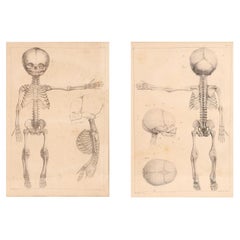
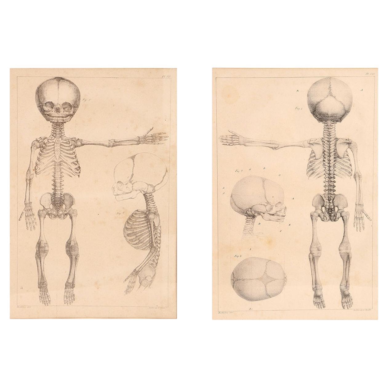
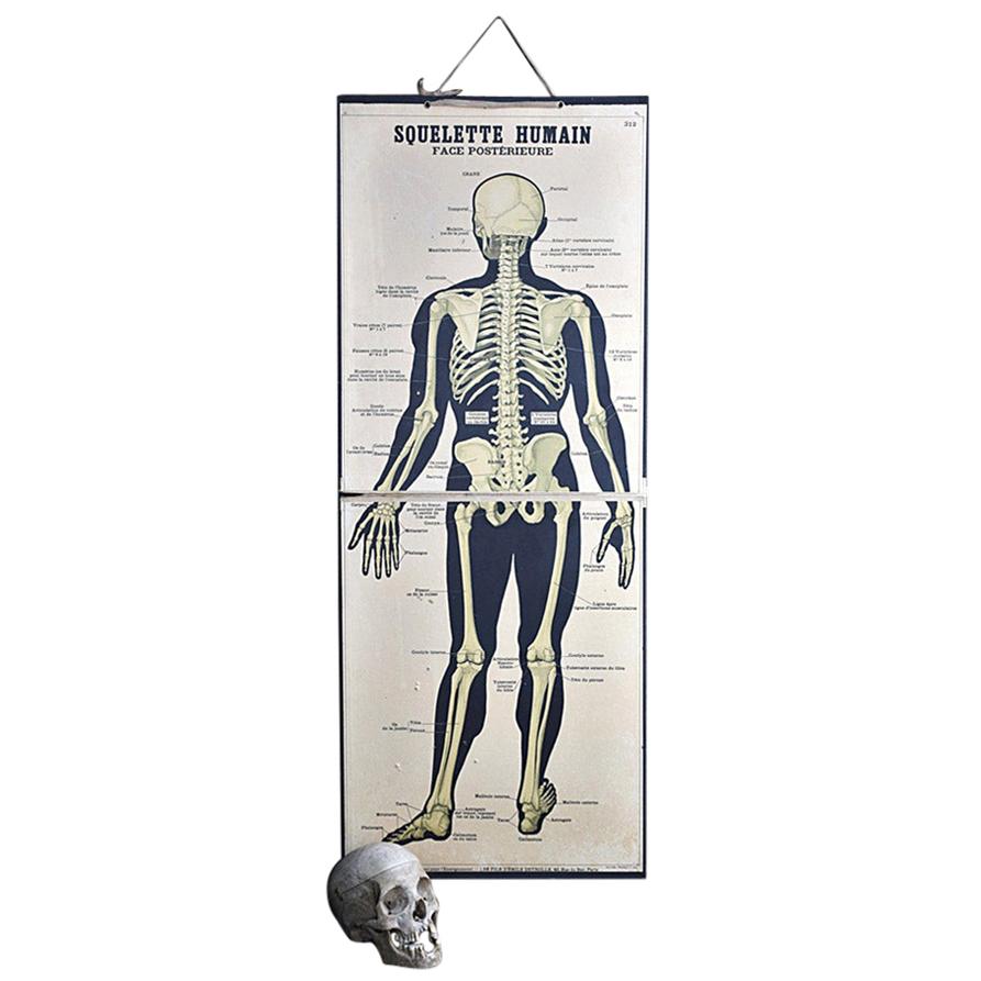
16th Century Andreas Vesalius Anatomical Print on Acrylic
View Similar Items

1 of 4
16th Century Andreas Vesalius Anatomical Print on Acrylic
About the Item
- Dimensions:Height: 20.75 in (52.71 cm)Width: 13.5 in (34.29 cm)Depth: 1 in (2.54 cm)
- Materials and Techniques:
- Place of Origin:
- Period:
- Date of Manufacture:1569
- Condition:Minor losses. Minor fading. The acrylic frame is new. The paper print itself is 16th Century and the wear can be seen in the images. There are various wormholes and discoloration, as seen in the included images.
- Seller Location:Houston, TX
- Reference Number:Seller: ILLUSTRATION PANEL 121stDibs: LU167129322141
You May Also Like
- Anatomical Print on Paper, Depicting a Fetus Skeleton, France, 19th CenturyLocated in Milan, ITA rare couple of French anatomical lithographs of the fetus skeleton, in a vintage metal frame. Great quality and artistic composition. Printe...Category
Antique Early 19th Century French Prints
MaterialsMetal
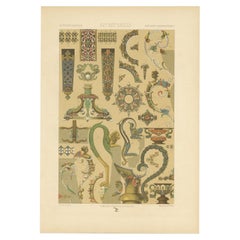
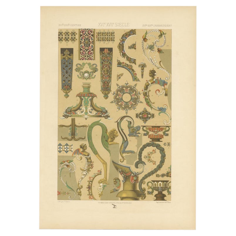
- Antique Print of Decorative Art in the 16th and 17th Century, 1869Located in Langweer, NLOld print of decorative art in the 16th and 17th century. This print originates from 'L'Ornement polychrome'. A beautiful work containing about 2000 patterns of all the styles of Art...Category
Antique 19th Century Prints
MaterialsPaper
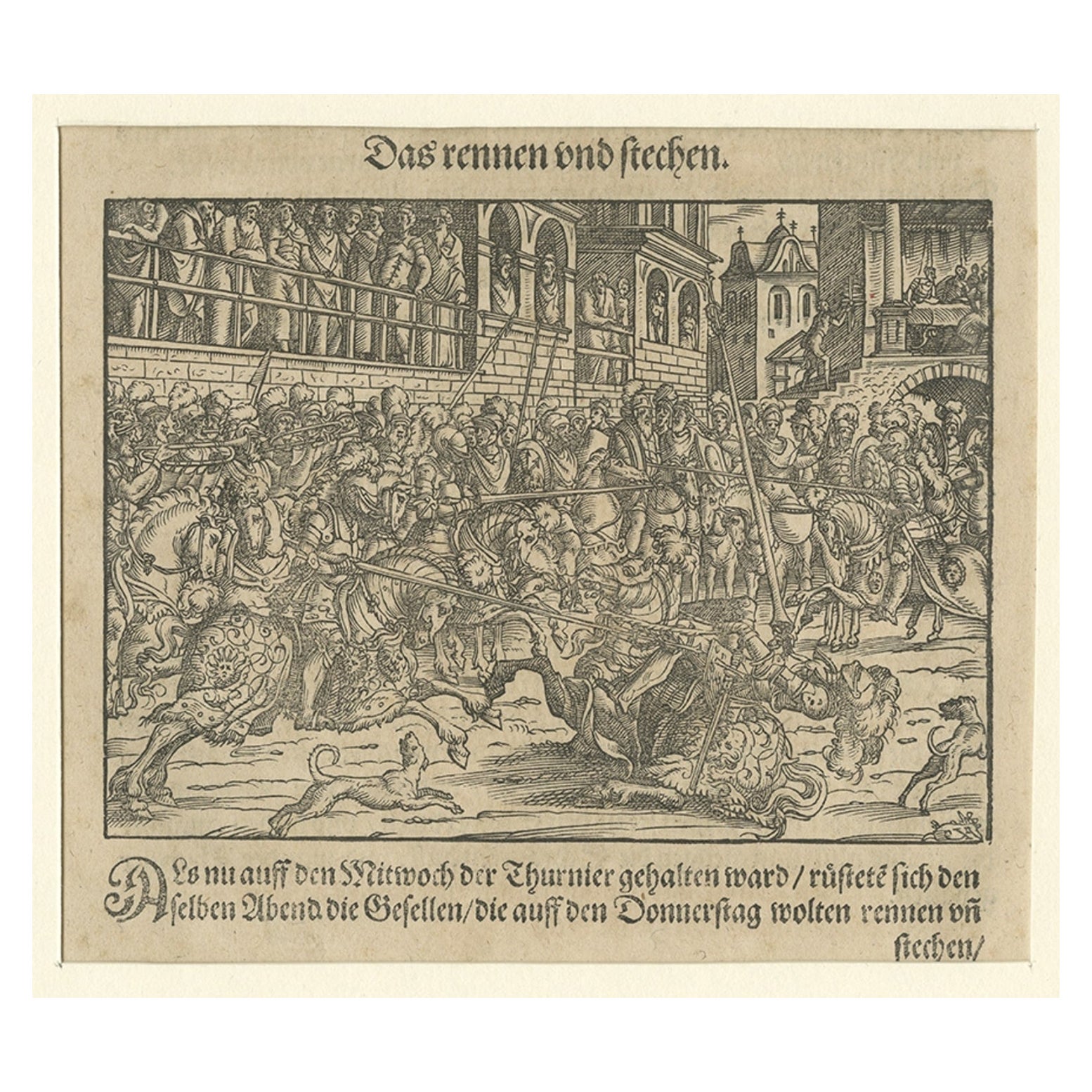
- Original 16th Century Engraving of a Medieval Tournament, ca.1578Located in Langweer, NLAntique print titled 'Das rennen und stechen'. Engraving of a Medieval tournament. This print originates from 'Thurnier Buch. Von Anfang, Ursachen, ursprung und herkommen (..)' b...Category
Antique 16th Century Prints
MaterialsPaper
 $313 Sale Price25% Off
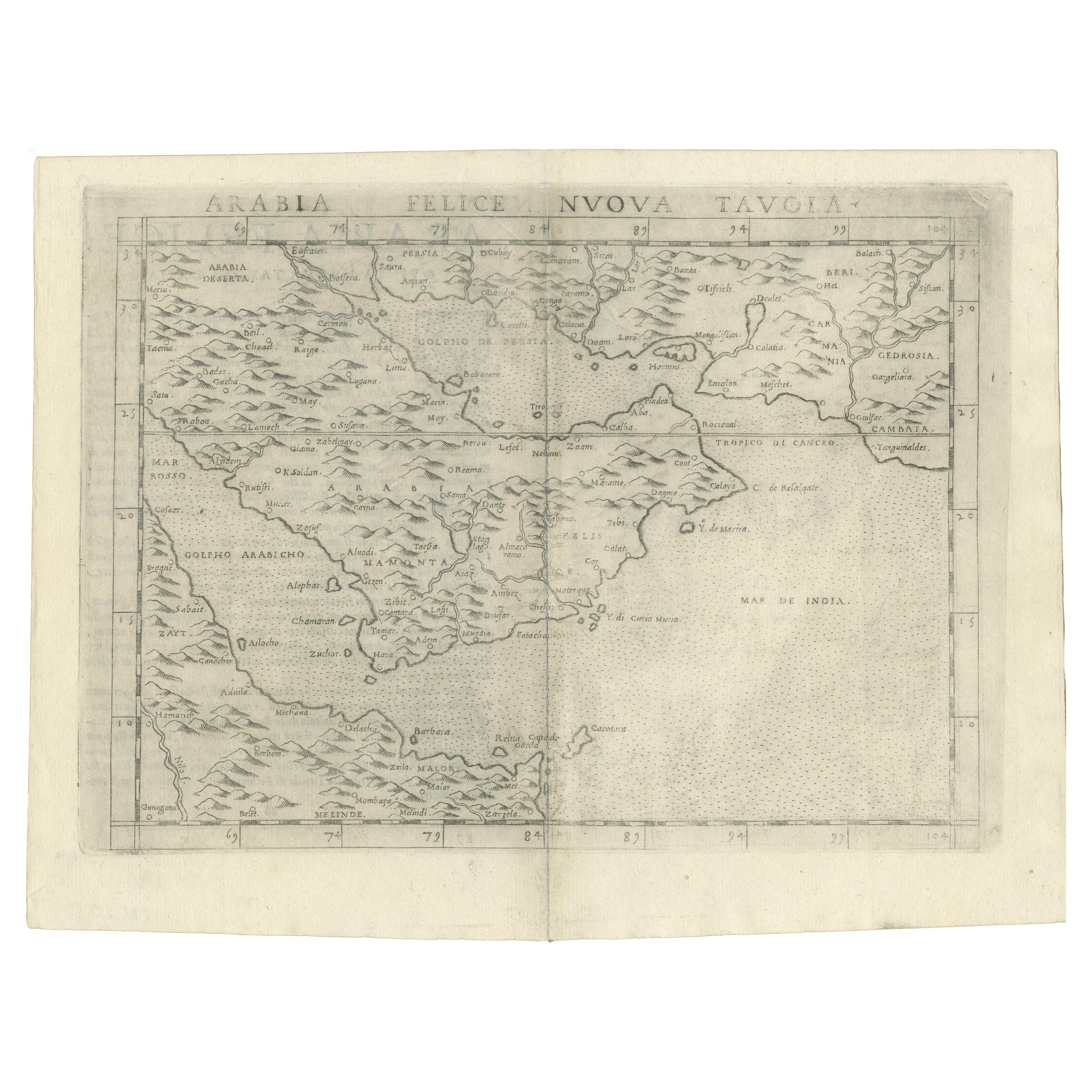
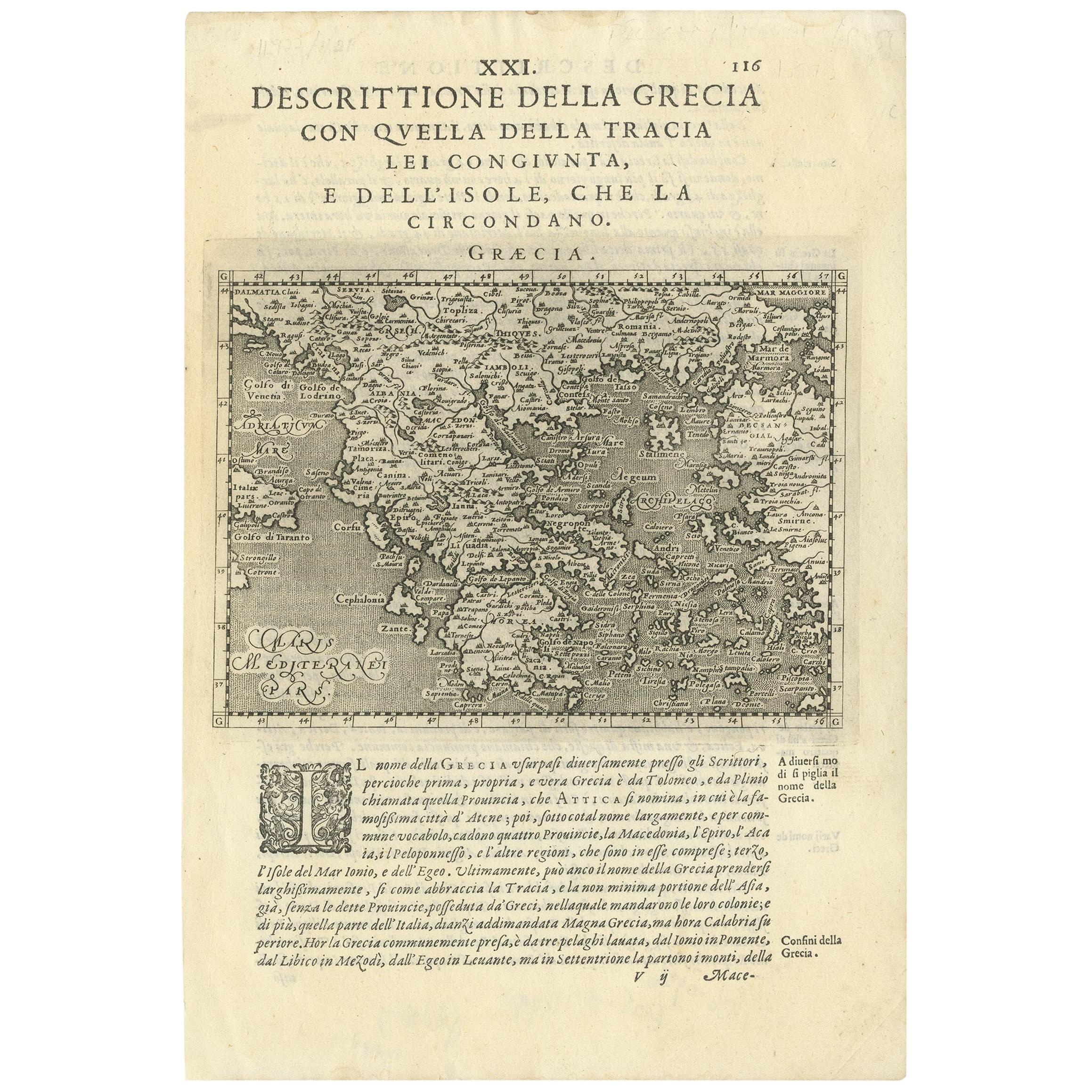
 - Rare Original 16th Century Antique Map of Greece, 1598Located in Langweer, NLBeautiful and rare antique map of Greece with Albania, Mecedonia, Romania, Dalmatia and the peninsula of Salento to the Golf of Taranto. Also clearly shown the islands of the Aegaian...Category
Antique 16th Century Maps
MaterialsPaper
 $316 Sale Price20% Off
 - Northern Scotland: A 16th Century Hand-colored Map by MercatorBy Gerard MercatorLocated in Alamo, CAA framed hand-colored 16th century map of Northern Scotland by Gerard Mercator entitled "Scotiae pars Septentrionalis", published in Amsterdam in 1636. It is a highly detailed map of the northern part of Scotland, with the northwest Highlands and the cities Inverness and Aberdeen, as well as the Orkney Islands and the Hebrides. There is a decorative title cartouche in the upper left corner. The map is presented in an antiqued brown wood...Category
Antique 16th Century Dutch Maps
MaterialsPaper
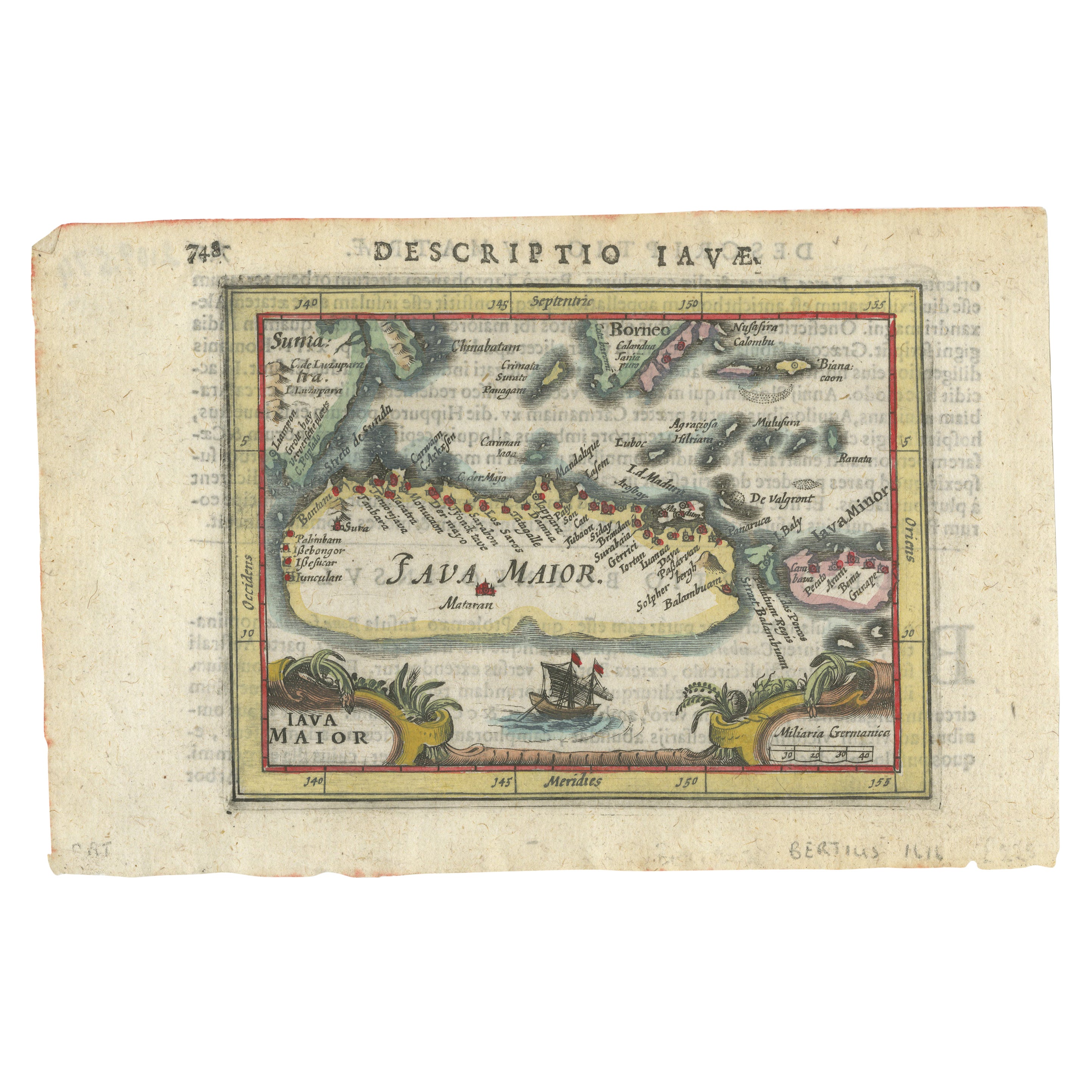
- Rare 16th Century Original Handcolored Miniature Map of Java, Indonesia, 1616Located in Langweer, NLVery handsome original old coloured copper engraving by Bertius of the island of Java in the early days of the Dutch colonisation - at that time named The Dutch East Indies or nowada...Category
Antique 1610s Maps
MaterialsPaper
 $430 Sale Price20% Off