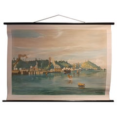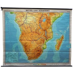
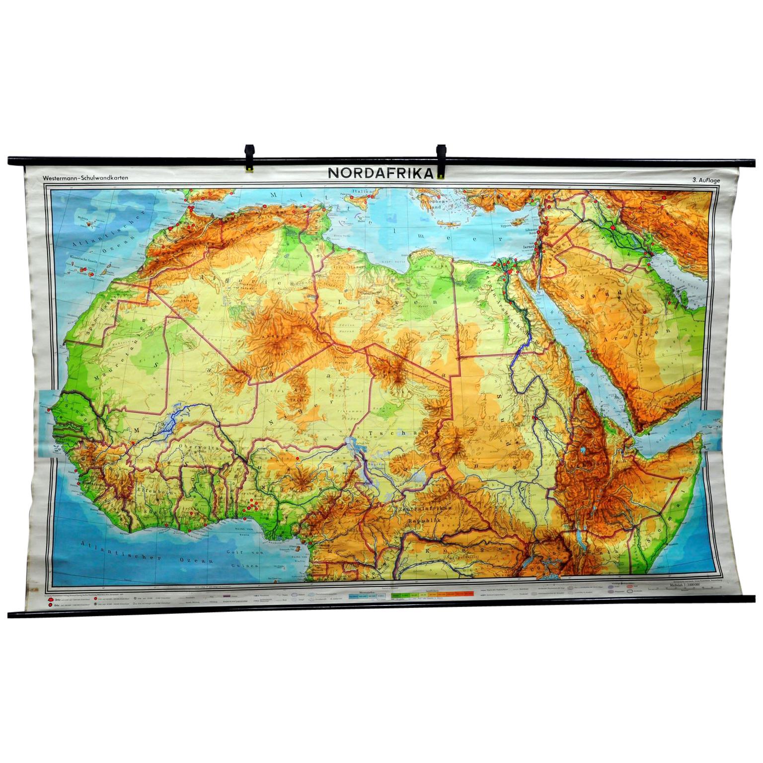
Vintage Rollable Map Middle and South Africa Wall Chart
View Similar Items

Want more images or videos?
Request additional images or videos from the seller
1 of 7
Vintage Rollable Map Middle and South Africa Wall Chart
About the Item
- Dimensions:Height: 68.12 in (173 cm)Width: 83.08 in (211 cm)Depth: 0.79 in (2 cm)
- Style:Country (In the Style Of)
- Materials and Techniques:
- Place of Origin:
- Period:
- Date of Manufacture:circa 1970
- Condition:Wear consistent with age and use. the wall chart has been utilised and therefore shows age-related traces of usage. during storage the chart might partly be fissured, stained, sometimes smells and may have some old repairs. please contact us for a detailed report .
- Seller Location:Berghuelen, DE
- Reference Number:Seller: k14071stDibs: LU988723357442
About the Seller
5.0
Platinum Seller
These expertly vetted sellers are 1stDibs' most experienced sellers and are rated highest by our customers.
Established in 1989
1stDibs seller since 2013
498 sales on 1stDibs
Typical response time: 2 hours
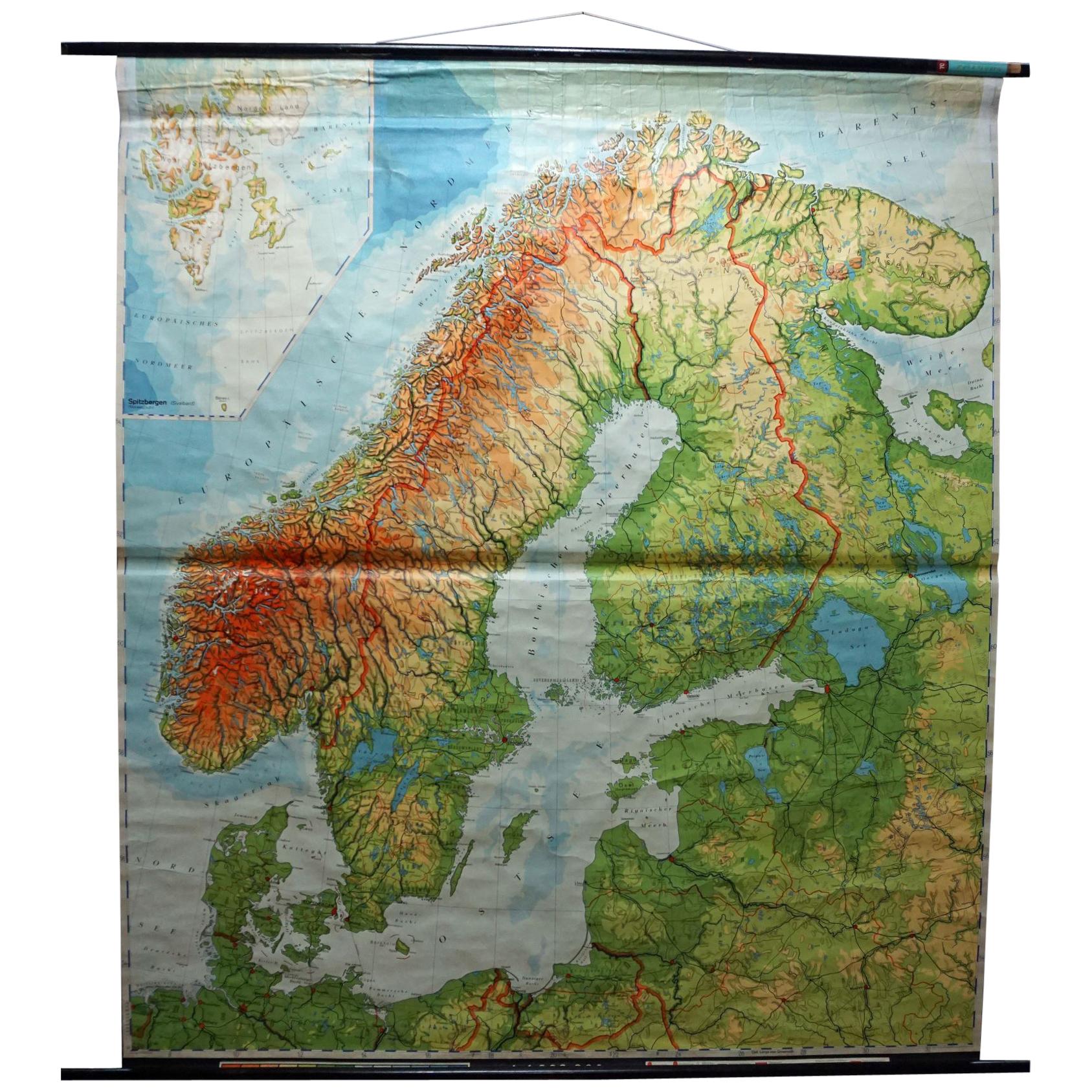
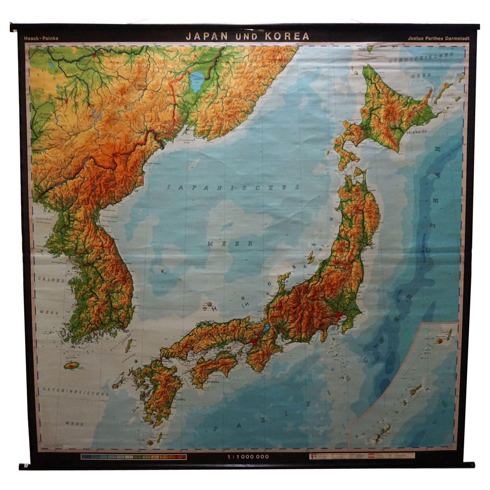
More From This SellerView All
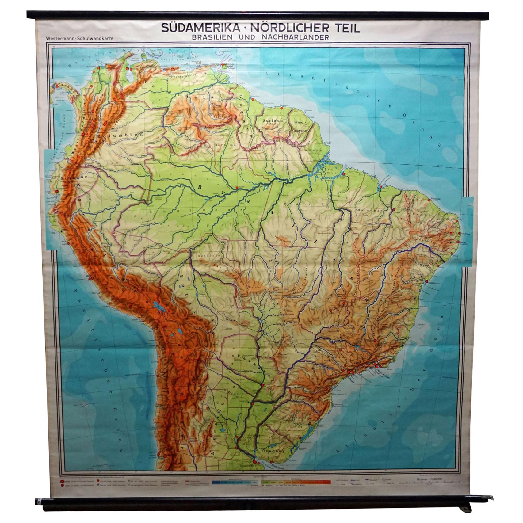
- Vintage Rollable Map Wall Chart South America Brasilia and Neighbour StatesLocated in Berghuelen, DEA classical pull-down school map showing South America with Brasilia and its neighbor states, published by Westermann. Colorful print on paper reinforced with canvas. Measurements: W...Category
Mid-20th Century German Country Prints
MaterialsCanvas, Wood, Paper
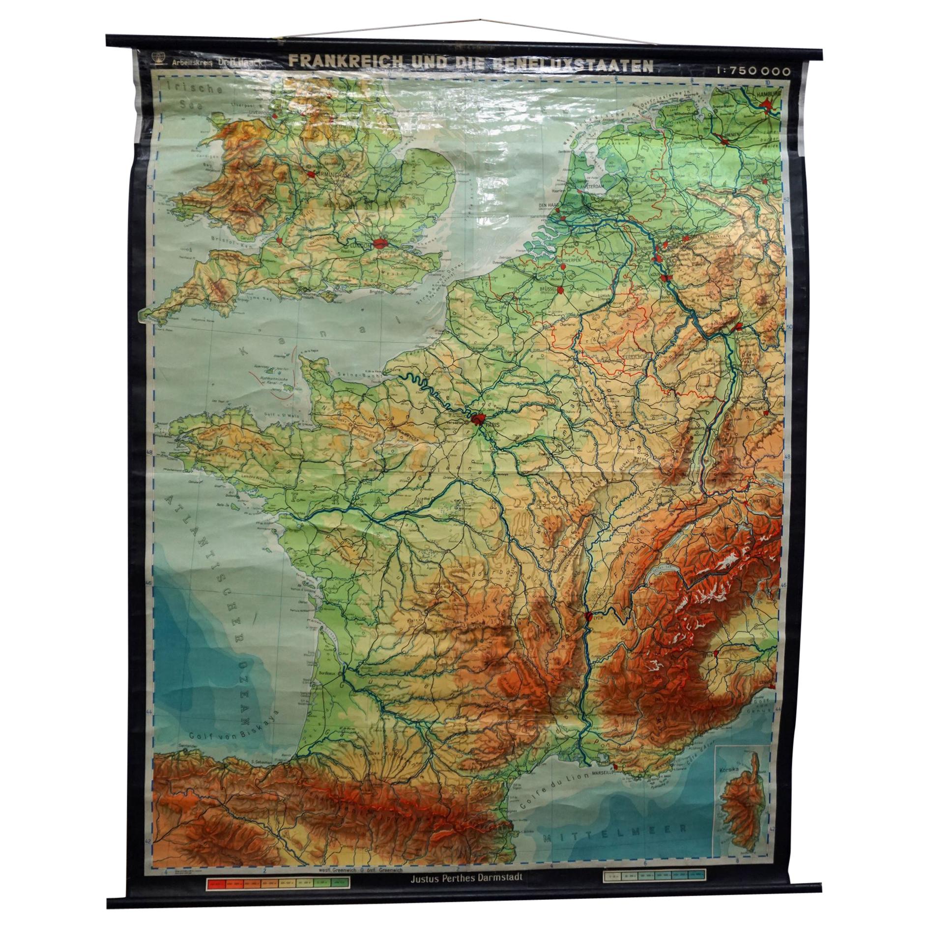
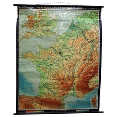
- Vintage Mural Rollable Map Wall Chart France Benelux Countries South EnglandLocated in Berghuelen, DEA cottagecore pull-down wall chart map illustrating France and the Benelux countries (the Netherlands, Belgium and Luxemburg) and main parts of Western Europe. Published by Justus Pe...Category
Mid-20th Century German Country Prints
MaterialsCanvas, Wood, Paper
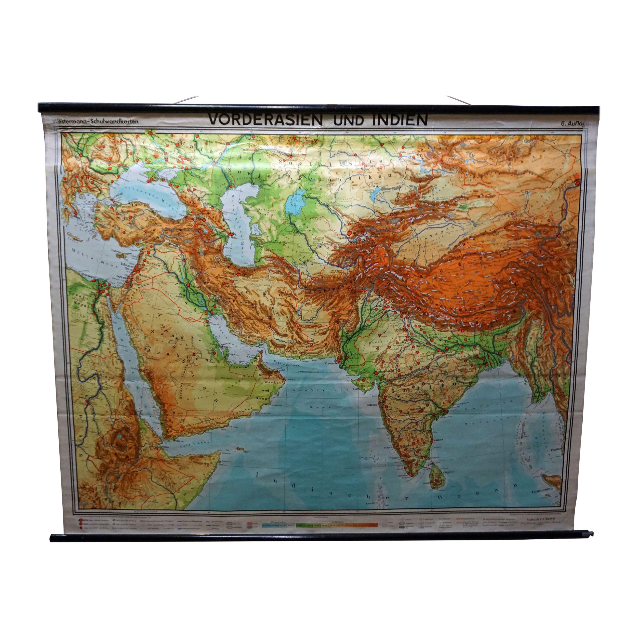
- Middle East Saudia Arabia Israel India Map Rollable Mural Vintage Wall ChartLocated in Berghuelen, DEThe pull-down school map is depicting the region of the Middle East (Turkey, Israel, Egypt, Saudi Arabia, Irak, Iran etc.) and India, Himalaya. Used as teaching material in German sc...Category
Late 20th Century German Country Prints
MaterialsCanvas, Wood, Paper
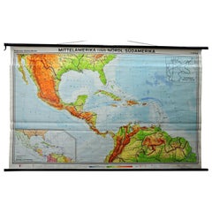
- Large Rollable Map Central America Northern South America Wall Chart PosterLocated in Berghuelen, DEA fantastic pull-down wall chart depicting a map of Central America and Northern South America. Used as teaching material in German schools. Colorful print on paper reinforced with c...Category
Mid-20th Century German Country Prints
MaterialsCanvas, Wood, Paper
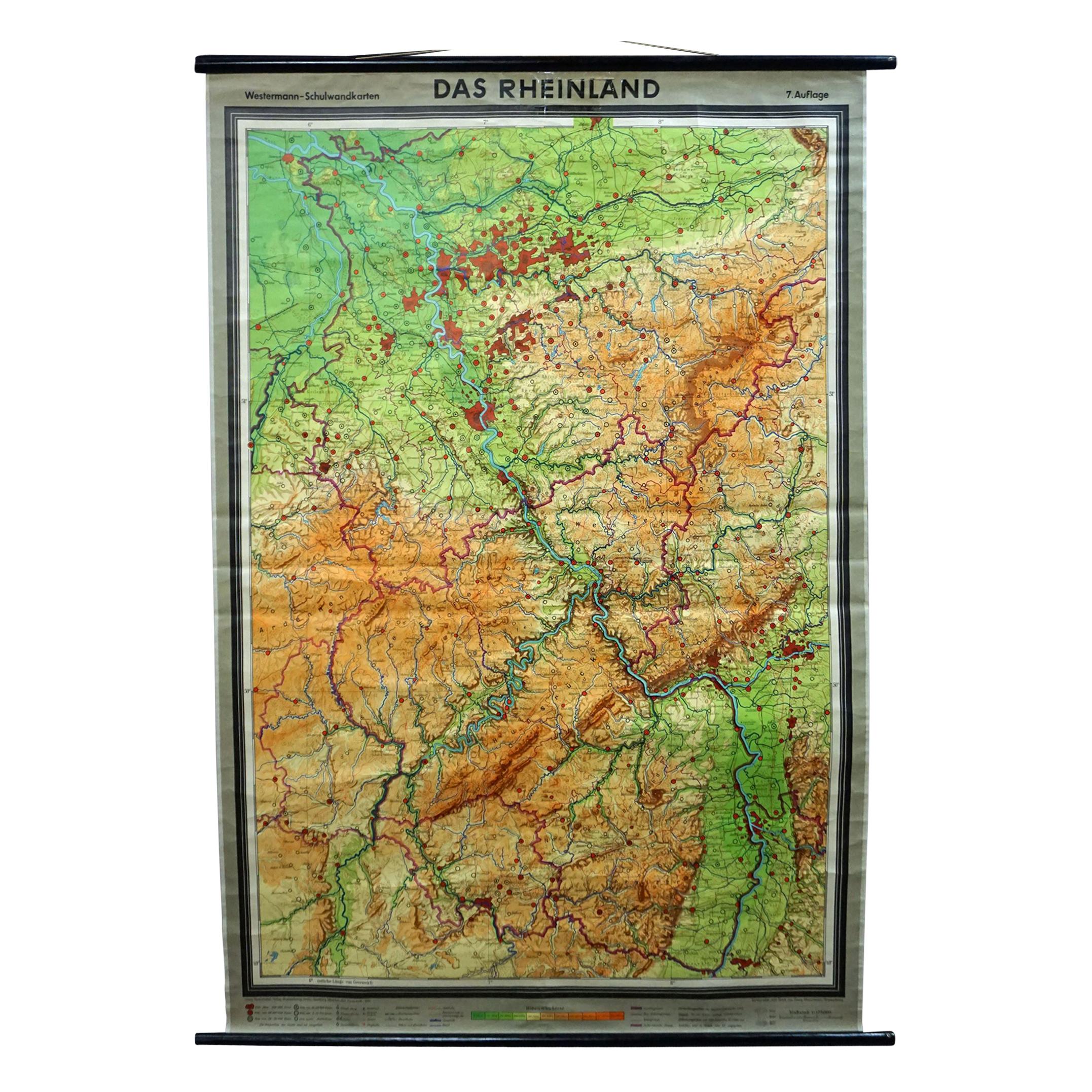
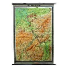
- Vintage German Map Rhineland Rollable Wall Chart Poster PrintLocated in Berghuelen, DEA country core vintage pull-down map illustrating the popular German region of the Rhineland, published by Westermann. Colorful print on paper reinforced with canvas. Measurements: W...Category
Vintage 1960s German Country Prints
MaterialsCanvas, Wood, Paper
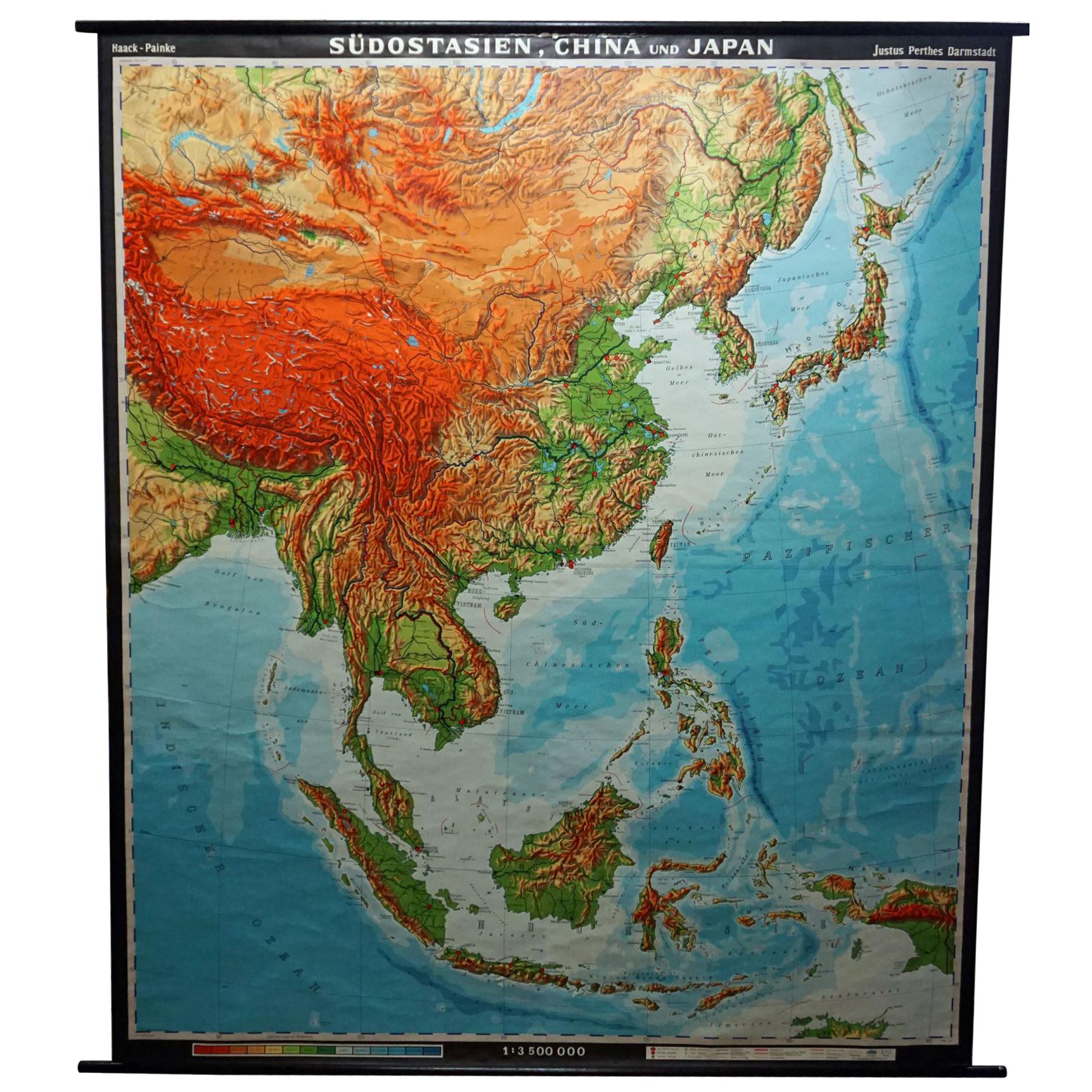
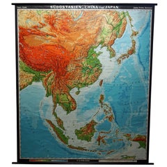
- Vintage Rollable Map Southeast Asia China Japan Wall ChartLocated in Berghuelen, DEA classical pull-down school map showing the popular region of Southeast Asia with China and Japan. Published by Haack-Painke Justus-Perthes Darmstadt. Colorful print on paper reinfo...Category
Late 20th Century German Country Prints
MaterialsCanvas, Wood, Paper

You May Also Like
- Vintage Wall Chart of a Landscape and Geographic Map, circa 1955Located in Langweer, NLVintage wall chart titled 'Kaart en Landschap'. This wall chart shows a mountain range and geographic map. Published by J.B. Wolters, circa 1955.Category
Mid-20th Century Prints
MaterialsPaper
- Vintage Wall Chart of Balikpapan 'Indonesia'Located in Langweer, NLVintage wall chart titled 'Balikpapan'. View of Balikpapan, a seaport city in East Kalimantan, Indonesia. Published circa 1920. The vintage wall ch...Category
Early 20th Century Prints
MaterialsPaper
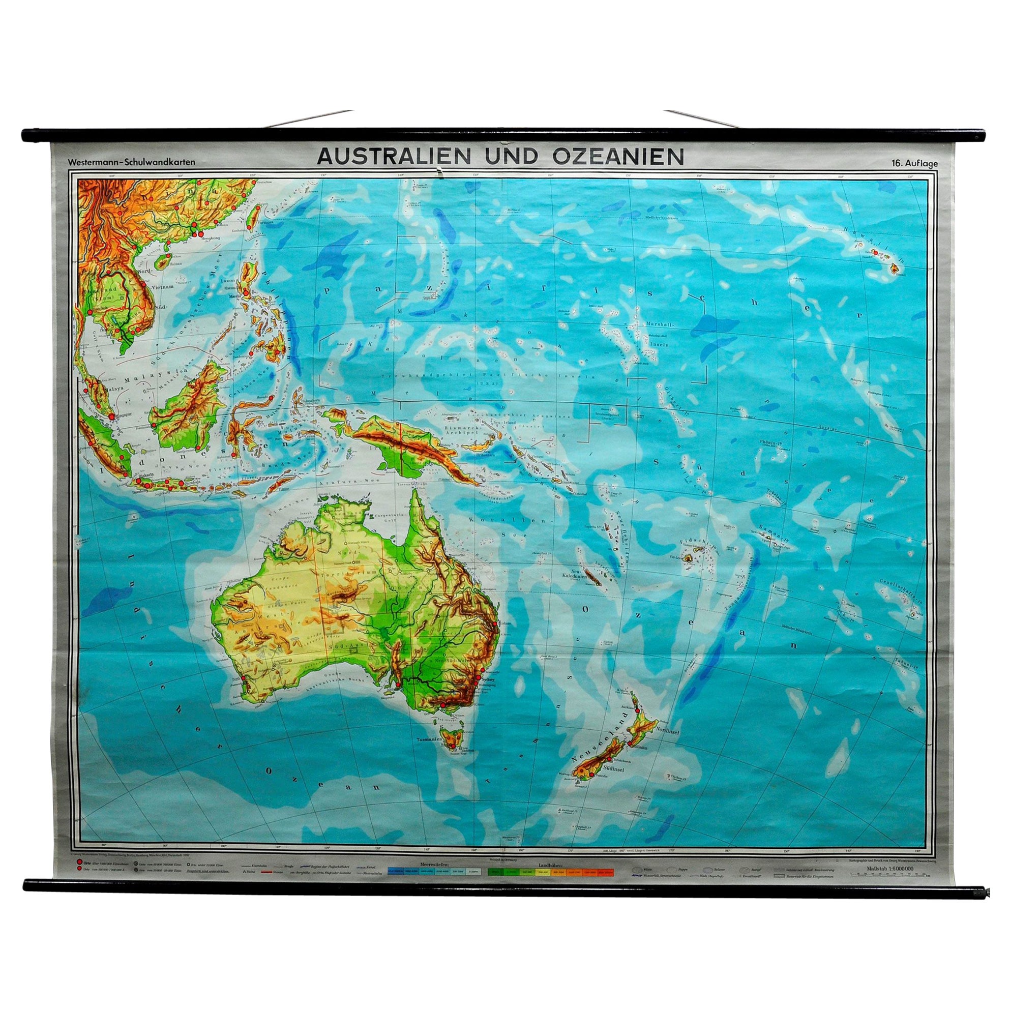
- Vintage Wall Chart of Australia, 1949Located in Langweer, NLVintage wall chart of Australia and surroundings. Published by R. Bos and K. Zeeman, 1949.Category
Mid-20th Century Prints
MaterialsPaper
 $659 Sale Price25% Off
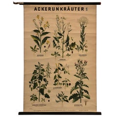
 - German Educational Field Weeds Botanical Roll-Up ChartLocated in Brooklyn, NYGerman educational, botanical chart illustrating Ackerunkräuter 1 / field weeds is printed on canvas-backed paper on painted maple rods with string and...Category
Mid-20th Century German Industrial Prints
MaterialsMetal
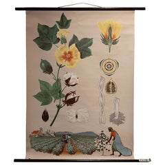
- Vintage Botany Wall Chart of a Cotton Plant and Cotton Cultivation, circa 1960Located in Langweer, NLThe vintage botany wall chart of a cotton plant and cotton cultivation by Jung, Koch, and Quentell, published around 1960, is an excellent example of educ...Category
Mid-20th Century Prints
MaterialsPaper
 $1,345 Sale Price30% Off
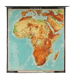
 - Large Africa School Map, circa 1950Located in Meulebeke, BEGeographical vintage school wall card Africa. The school poster is in a good vintage condition with types of old -age signs that you can see from the produc...Category
Vintage 1950s German Mid-Century Modern Posters
MaterialsCanvas, Wood, Paper