Dr. Seuss, A Plethora of Flowers
View Similar Items


1 of 4
Dr. Seuss (Theodore Geisel)Dr. Seuss, A Plethora of Flowers
About the Item
Authenticity Guarantee
In the unlikely event there’s an issue with an item’s authenticity, contact us within 1 year for a full refund. DetailsMoney-Back Guarantee
If your item is not as described, is damaged in transit, or does not arrive, contact us within 7 days for a full refund. Details24-Hour Cancellation
You have a 24-hour grace period in which to reconsider your purchase, with no questions asked.Vetted Professional Sellers
Our world-class sellers must adhere to strict standards for service and quality, maintaining the integrity of our listings.Price-Match Guarantee
If you find that a seller listed the same item for a lower price elsewhere, we’ll match it.Trusted Global Delivery
Our best-in-class carrier network provides specialized shipping options worldwide, including custom delivery.You May Also Like
PaperLandscape Abstract Landscape , Marilina Marchica Italy 2021
By Marilina Marchica
Located in Agrigento, AG
PaperLandscape
collage on canvas
the collage paper is vegetable paper has been treated with oil paint
original artwork
the painting is shipped flat, stretched on a wooden frame
100x1...
Category
2010s Contemporary More Art
Materials
Paper, Canvas

$1,848 Sale Price
20% Off
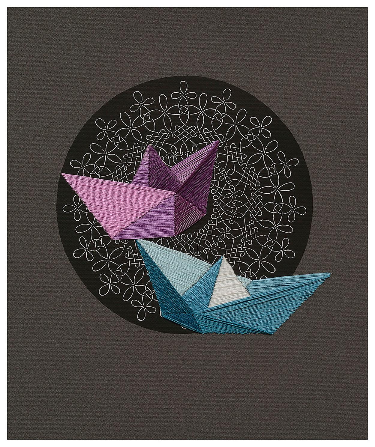
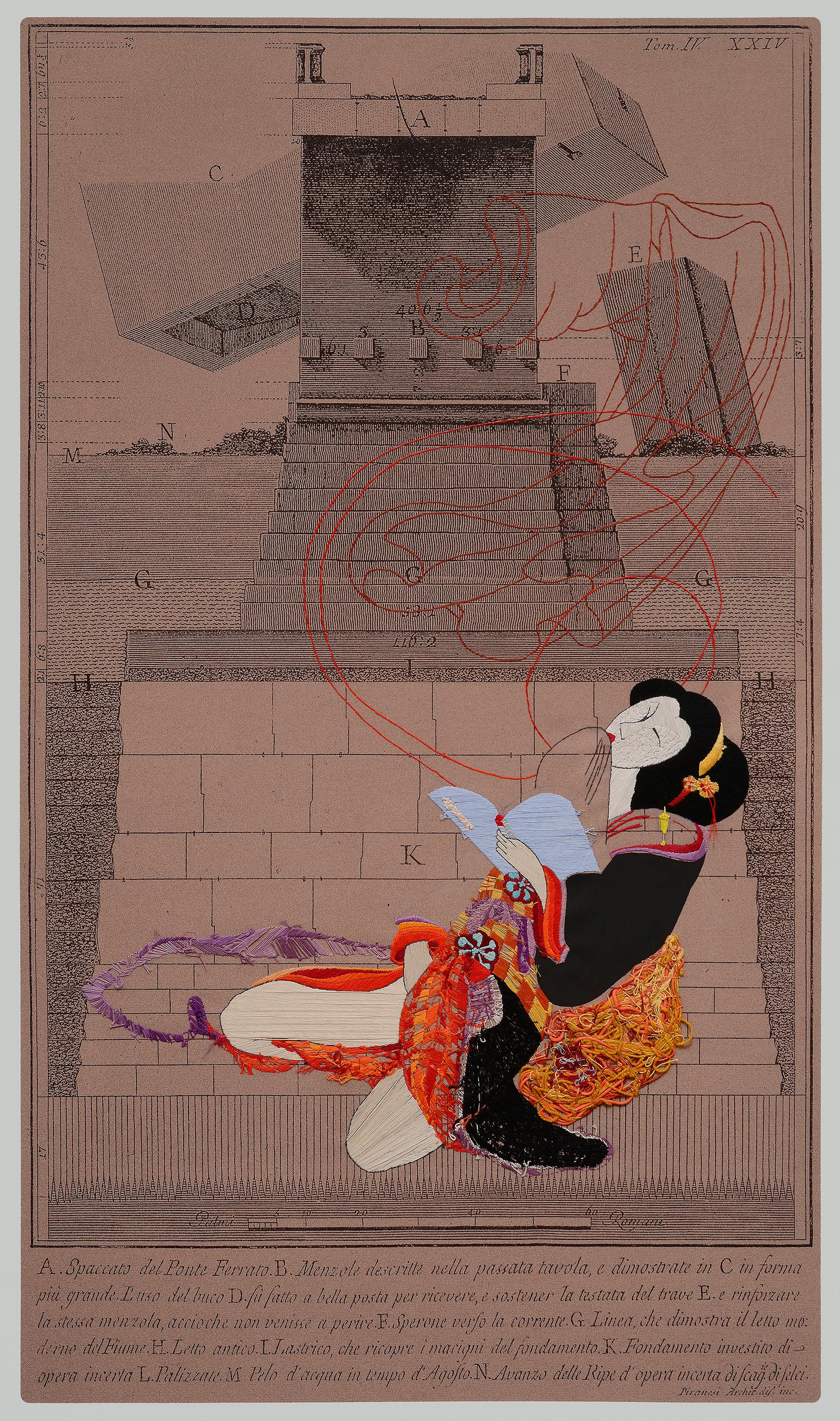
El Mago, and Náufragos inminentes Diptych. Textile Art From The Series Durero
By Ana Seggiaro
Located in Miami Beach, FL
Ana Seggiaro's training as an engraver awakened her fascination for the works of Durero and Piranesi. This leads her both to recover the language of engraving itself through other me...
Category
2010s Contemporary Mixed Media
Materials
Cotton, Thread, Sailcloth
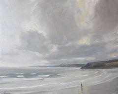
Scarborough, March 5, Original painting, Landscape, Seascape, Beach
Located in Deddington, GB
Painted from the promenade overlooking the beach at Scarborough on a cold, grey day. Nothing like a bit of Yorkshire grey.
ADDITIONAL INFORMATION:
Oil on Canvas
61 H x 76 W x 2 D cm...
Category
2010s Contemporary Landscape Paintings
Materials
Canvas, Oil
Cayton Bay, June 17, Original painting, Landscape, Seascape, Beach
Located in Deddington, GB
Cayton bay is about 5 miles south of Scarborough. You can see Scarborough castle to the left of the painting. I painted it from the cliff-top looking down on the beach.
ADDITIONAL I...
Category
2010s Contemporary Landscape Paintings
Materials
Canvas, Oil

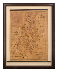
Map of Palestine or Judea, Illustrating the History of the New Testament
By Rev. Nathan B. Rogers
Located in New York, NY
Pen and ink on paper, laid down on canvas, mounted to wooden scroll bars
Signed and dated lower right: “Drawn by N. B. Rogers August. 1843”
Inscribed with an ownership inscription on the verso: Rev. E. D. Daniels, Palmer, Mass.
Provenance:
Rev. Eugene Davidson Daniels, Palmer, Massachusetts, 1871
This extraordinary manuscript map is a rare survivor of the devotional and educational culture of New England in the first half of the nineteenth century. Although at first glance resembling a large-scale engraving or printed publication, this precisely rendered wall map was entirely drawn by hand, the product of meticulous research by a minister working in isolation in rural Maine. The map shows New Testament era cities, towns, tribal areas, and political borders as well as physical features such as rivers, lakes, mountains, and hills (indicated by half-tone cross-hatching). On to this geographically accurate rendering of the Holy Land, Rogers has located and inscribed significant locales mentioned in the Gospels and has annotated these places with relevant citations from the Bible. He further records these by plotting the travels of Jesus on what resemble a series of trails across the Holy Land. Each is distinguished by a different pattern of dots and dashes – correlated to an explanatory table at the lower right. From this we know that these lines document the “Flight into Egypt and return,” “Travels of Christ from Nazareth to Jerusalem and return,” “Travels from the commencement of his Ministry to the first Passover,” “Travels from the first and the second Passover,” “Travels from Jerusalem to Galilee after the 2nd Passover,” and “Travels from the third Passover to the Crucifixion.”
An inset map of “Jerusalem...
Category
19th Century More Art
Materials
Canvas, Paper, Ink, Pen
Water lilies , 180x120 cm, acrylic, canvas
By Veranika Rokashevich
Located in Yerevan, AM
Water lilies , 180x120 cm, acrylic, canvas
Category
2010s Abstract More Art
Materials
Canvas, Acrylic

$1,875 Sale Price
25% Off