Items Similar to The Deluge - JOSEPH MALLORD WILLIAM TURNER (1775 - 1851)
Want more images or videos?
Request additional images or videos from the seller
1 of 10
The Deluge - JOSEPH MALLORD WILLIAM TURNER (1775 - 1851)1828
1828
$3,200
$4,00020% Off
£2,421.90
£3,027.3820% Off
€2,780.83
€3,476.0420% Off
CA$4,558.67
CA$5,698.3320% Off
A$4,943.98
A$6,179.9820% Off
CHF 2,596.77
CHF 3,245.9620% Off
MX$60,053.36
MX$75,066.7020% Off
NOK 32,494.43
NOK 40,618.0320% Off
SEK 30,595.32
SEK 38,244.1520% Off
DKK 20,760.82
DKK 25,951.0220% Off
About the Item
(after) JOSEPH MALLORD WILLIAM TURNER (1775 - 1851)
THE DELUGE, 1828. Mezzotint, Engraved by I. P. Quilly after a painting by J. M.W. Turner R.A.. Image 15 1/8 x 22 3/4 inches, plate 18 1/8 x 25 inches, sheet 19 3/8 x 25 1/2 inches.
Dramatic iarge scale mage in the manner of John Martin's important mezzotints. Good - fair condition with some surface rubbing as is common in mezzotints of this large size and vintage. Sheet has numerous tiny dots in the margins particularly the lower margin, that are likely not foxing but something else. This example has the lightly engraved dedication line "To The Right Honorable (the late) Earl of Carysfort KP", with the Publication line "London Published June 24, 1828 by Moon, Boys & Graves, Printsellers to the King, 6 Pall Mall"
SEE COMMENTS ON THIS PUBLICATION BELOW
The Tate Gallery discusses this print extensively: It suggests that Turner produced this large scale mezzotint to compete with upstarts John Martin and Francis Danby
TATE GALLERY DESCRIPTION:
Lit: Rawlinson II 1913, no.794, engraver's proof (b); Lyles and Perkins 1989, pp.62–3, no.56, repr.
"In the late 1820s Turner supervised the production of a number of large-scale mezzotints after his oils, chiefly subjects which he had painted much earlier in his career. T 04838 was based on ‘The Deluge’, which was painted c. 1805 and exhibited at the Royal Academy in 1813 (Tate Gallery, N 00493; Butlin and Joll 1984, no.55). In their dark tonality many of Turner's early pictures lent themselves particularly well to translation into mezzotint.
It has been suggested that Turner's wish to bring ‘The Deluge’ to the public's attention again in 1828 by publishing a mezzotint of it may have been prompted by increasing competition from two younger painters who specialised in similar apocalyptic subjects, John Martin and Francis Danby (see Andrew Wilton, Turner and the Sublime, exh. cat., British Museum 1980, p.139). It was in 1826 that Martin produced his first version of a deluge subject, publishing a mezzotint of it in 1828. Danby's first biblical canvas was exhibited in 1825. Quilley's mezzotint includes a number of macabre details which are absent from the original oil and which suggest that Turner may indeed have been responding to the sensationalist canvases of these two rivals. The barest indication of a snake in the water in the foreground of the oil has been transformed in the print into a group of intertwined and writhing serpents; the print also adds a pair of outstretched hands protruding just above the surface of the water to the left, indicating the futile struggle of a panic-stricken victim who has already been engulfed. Both these details were pencilled in by Turner on an early engraver's proof now in the British Museum (1893-6-12-172).
The latest known impression of this engraving (of which there is an example in the British Museum, 1948-4-10-145) carries a dedication line ‘to The Right Honorable (the late) Earl of Carysfort KP’ and the publication line ‘London, Published June 24, 1828, by Moon, Boys & Graves, Printsellers to the King, 6 Pall Mall’. However, Rawlinson expresses doubts as to whether the print was actually published (Rawlinson II 1913, p.383), and indeed the Catalogue of the Fourth Portion of the Engravings from the Works of J.M.W. Turner R.A. (Turner sales, Christie's, 3–7 March 1874) lists ‘The Deluge’ under a sequence of ‘the unpublished mezzotints’.
In 1830 Quilley engraved another large mezzotint after Turner, ‘The Garden of Boccaccio - The Birdcage’ (Rawlinson II 1913, no.797), and in 1831 he also collaborated with John Martin in the production of a large mezzotint of ‘Pandemonium’ (see M.J. Campbell, John Martin: Visionary Printmaker, exh. cat., York City Art Gallery 1992, pp.108–9). However, little is known about his life or training (Rawlinson mistakenly refers to him as ‘J.B.’ Quilley)."
- Creation Year:1828
- Dimensions:Height: 15.15 in (38.49 cm)Width: 25.5 in (64.77 cm)
- Medium:
- Movement & Style:
- After:Joseph Mallord William Turner (1775 - 1851, British)
- Period:
- Condition:
- Gallery Location:Santa Monica, CA
- Reference Number:1stDibs: LU41138286332
About the Seller
5.0
Recognized Seller
These prestigious sellers are industry leaders and represent the highest echelon for item quality and design.
Gold Seller
Premium sellers maintaining a 4.3+ rating and 24-hour response times
Established in 1977
1stDibs seller since 2016
293 sales on 1stDibs
Typical response time: 1 hour
Associations
International Fine Print Dealers Association
- ShippingRetrieving quote...Shipping from: Santa Monica, CA
- Return Policy
Authenticity Guarantee
In the unlikely event there’s an issue with an item’s authenticity, contact us within 1 year for a full refund. DetailsMoney-Back Guarantee
If your item is not as described, is damaged in transit, or does not arrive, contact us within 7 days for a full refund. Details24-Hour Cancellation
You have a 24-hour grace period in which to reconsider your purchase, with no questions asked.Vetted Professional Sellers
Our world-class sellers must adhere to strict standards for service and quality, maintaining the integrity of our listings.Price-Match Guarantee
If you find that a seller listed the same item for a lower price elsewhere, we’ll match it.Trusted Global Delivery
Our best-in-class carrier network provides specialized shipping options worldwide, including custom delivery.More From This Seller
View AllDEATH OF THE FIRST BORN - Proof - Magnificent Large Scale Mezzotint
By John Martin
Located in Santa Monica, CA
JOHN MARTIN (1789 – 1854)
DEATH OF THE FIRST BORN, Dedicated to His Majesty King Louise Philippe, King of the French, as a Tribute of the Artist’s Grateful...
Category
1830s Old Masters Interior Prints
Materials
Mezzotint
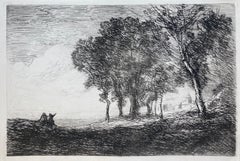
PAYSAGE D’ ITALIE
By Jean-Baptiste-Camille Corot
Located in Santa Monica, CA
JEAN-BAPTISTE CAMILLE COROT (1876 - 1875)
PAYSAGE D’ ITALIE 1866 (Melot 7 iii/iii)
Etching, plate 6 ¼ x 9 inches, Third state after the removal of the text but before the random scr...
Category
1860s Romantic Landscape Prints
Materials
Etching
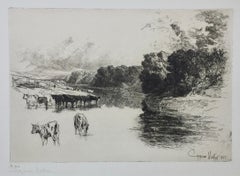
SUNSET IN IRELAND (undescribed state?)
By Sir Francis Seymour Haden, R.A.
Located in Santa Monica, CA
SIR FRANCIS SEYMOUR HADEN (British 1818 -1910)
SUNSET IN IRELAND 1863 (Schneiderman 47 - Appears to be an undescribed state between XI and XII)
Etching and drypoint, signed in penci...
Category
1860s Impressionist Landscape Prints
Materials
Drypoint
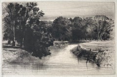
A LANCASHIRE RIVER,
By Sir Francis Seymour Haden, R.A.
Located in Santa Monica, CA
SIR FRANCIS SEYMOUR HADEN (1818-1910)
A LANCASHIRE RIVER, 1881 (Schneiderman 203 viii/ix; Harrington 215 ii/ii)
Original etching with drypoint. Signed in pencil., image 11 x 16. A large sheet, 18 x 22 inches with 3 inch margins.
In very good condition.
According to British dealer...
Category
1880s English School Landscape Prints
Materials
Etching
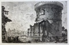
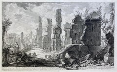
VEDUTA del SEPOLCRO della Famiglia PLAUZIA per la strada che Conduce da Roma....
By Giovanni Battista Piranesi
Located in Santa Monica, CA
GIOVANNI BATTISTA PIRANESI (Italian 1720-1778)
VEDUTA del SEPOLCRO della Famiglia PLAUZIA per la strada che Conduce da Roma a Tivoli vicino a Ponte Lugan...
Category
1750s Old Masters Landscape Prints
Materials
Etching
VEDUTA DEGLI AVANZI De’MAUSOLEI E DELLE FABBRICHE…...
By Giovanni Battista Piranesi
Located in Santa Monica, CA
GIOVANNI BATTISTA PIRANESI (Italian 1720-1778)
VEDUTA DEGLI AVANZI De’MAUSOLEI E DELLE FABBRICHE…c 1756 (Hind 83; Focillon 20.A.293; Giesecke 116; Wilton-E...
Category
1750s Old Masters Landscape Prints
Materials
Etching
$2,000 Sale Price
20% Off
You May Also Like
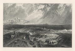
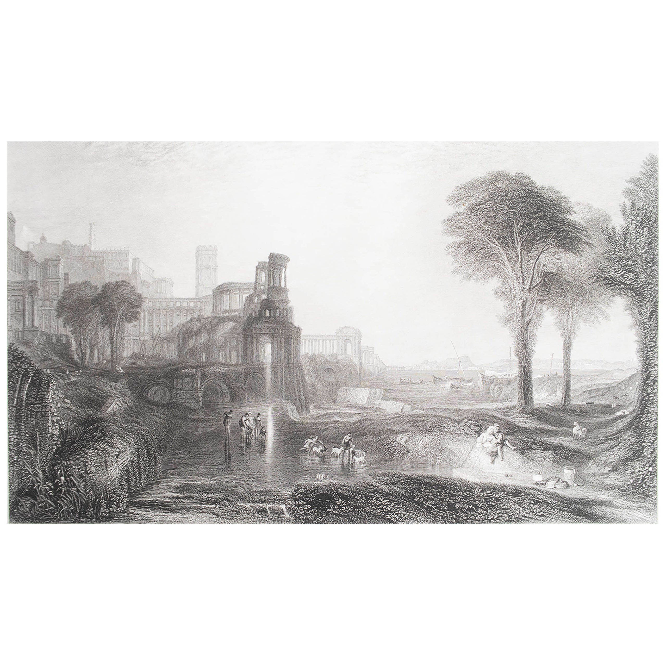
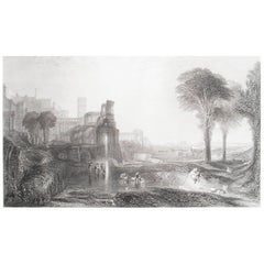
Ancient Rome /// Joseph Mallord William Turner City River Landscape Engraving
By Joseph Mallord William Turner
Located in Saint Augustine, FL
Artist: (after) Joseph William Mallord Turner (English, 1775-1851)
Title: "Ancient Rome"
Portfolio: The Turner Gallery: A Series of Sixty Engravings From The Principal Works of Josep...
Category
1860s Victorian Landscape Prints
Materials
Engraving
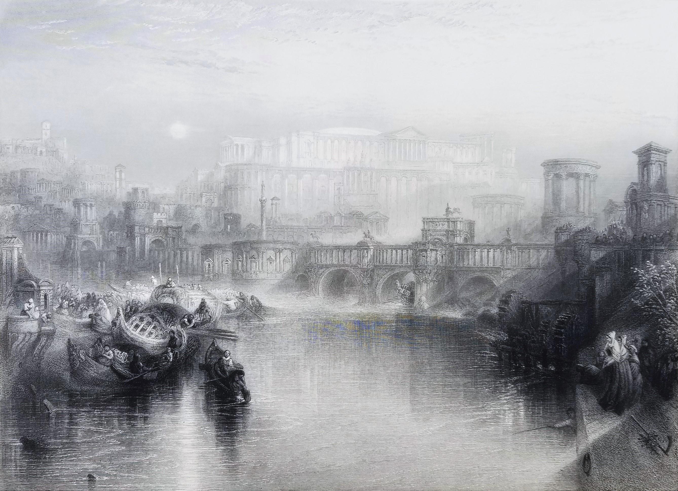
Original Antique Greek Mythology Print After J.M.W Turner. C.1850
Located in St Annes, Lancashire
Great image after J.M.W Turner
Fine steel engraving
Published by Virtue, C.1850
Unframed.
Free shipping
Category
Antique 1850s English Classical Greek Prints
Materials
Paper
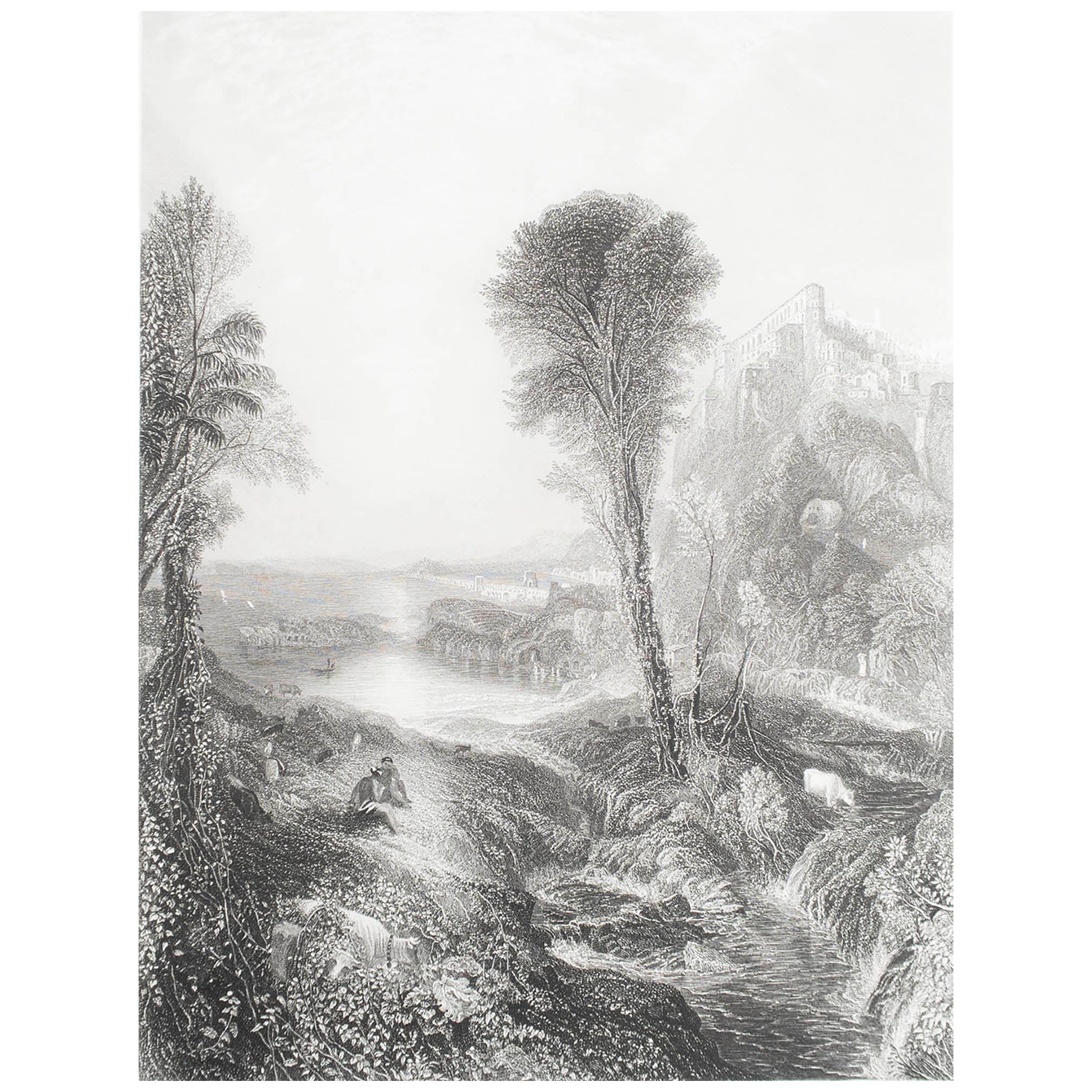
"Deal" engraving
By (After) Joseph Mallord William Turner
Located in Henderson, NV
Medium: engraving (after the painting). Printed on Holland-style wove paper, from the rare large size deluxe portfolio entitled "Picturesque Views on the Southern Coast of England", ...
Category
Early 19th Century Prints and Multiples
Materials
Engraving
Original Antique Greek Mythology Print After J.M.W Turner. C.1850
Located in St Annes, Lancashire
Great image after J.M.W Turner
Fine steel engraving
Published by Virtue, C.1850
Unframed.
Free shipping
Category
Antique 1850s English Classical Greek Prints
Materials
Paper
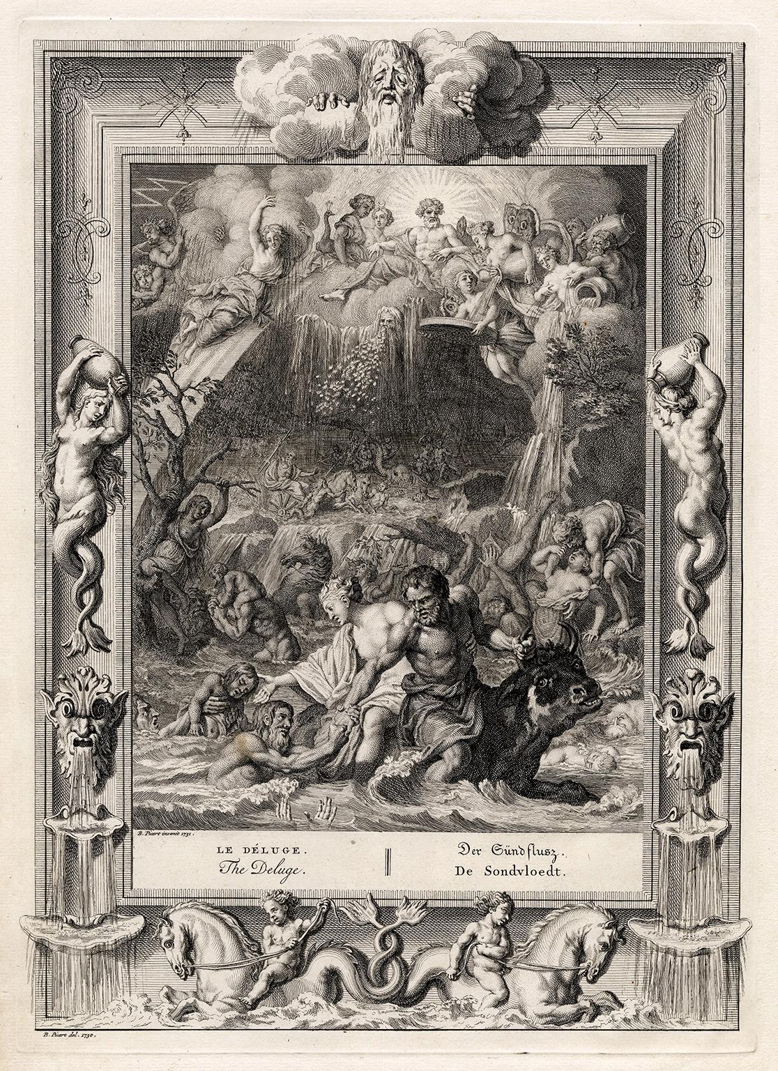
'The Deluge' from 'The Temple of the Muses' — 18th Century Engraving
By Bernard Picart
Located in Myrtle Beach, SC
Bernard Picart, 'The Deluge' from 'The Temple of the Muses', engraving, 1730. Signed in the plate and dated
'1730' lower left. Titled in French, English, German, and Dutch. A superb...
Category
1730s Baroque Figurative Prints
Materials
Engraving

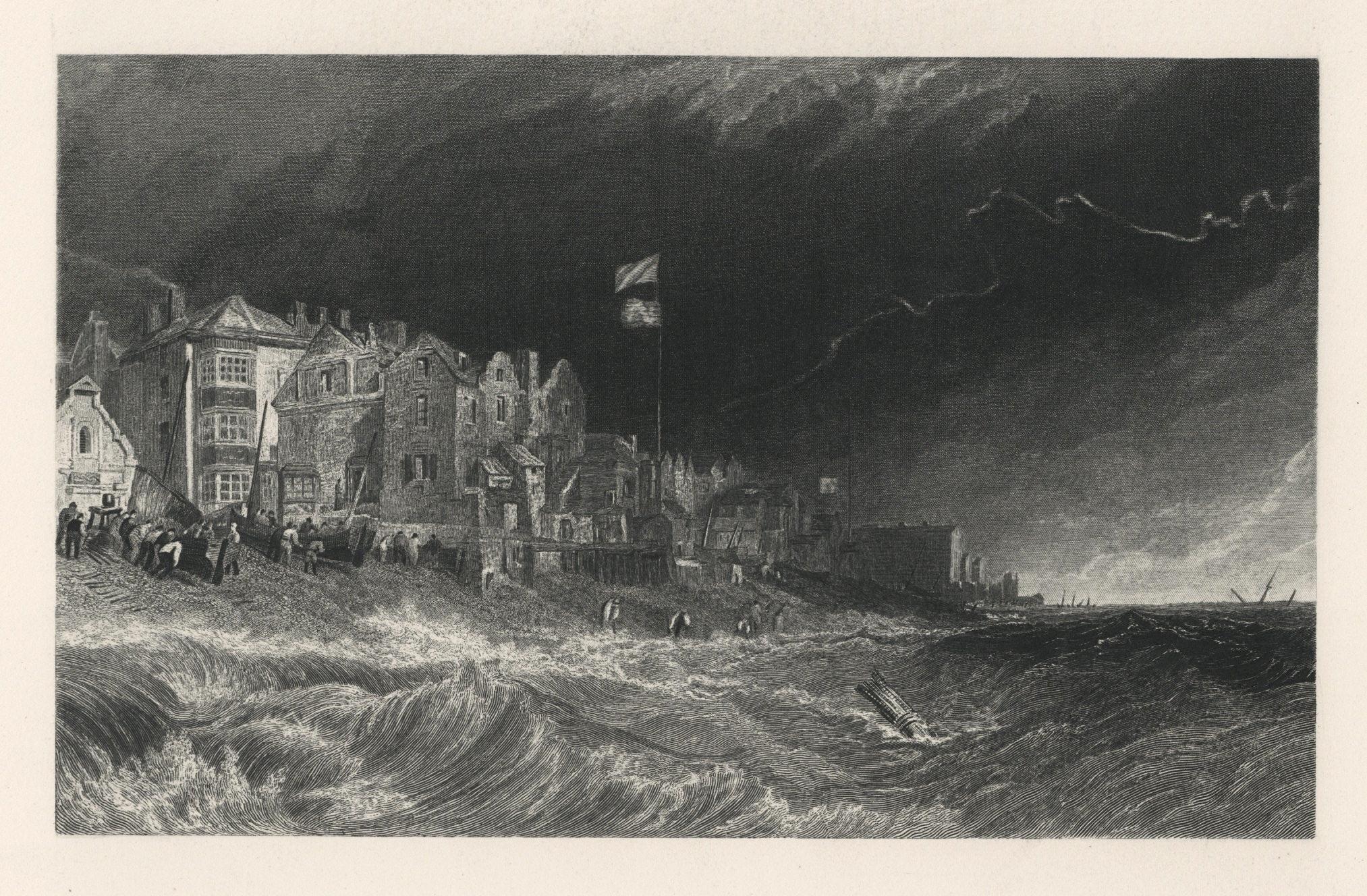
"Rye" engraving
By (After) Joseph Mallord William Turner
Located in Henderson, NV
Medium: engraving (after the painting). Printed on Holland-style wove paper, from the rare large size deluxe portfolio entitled "Picturesque Views on the Southern Coast of England", ...
Category
Early 19th Century Prints and Multiples
Materials
Engraving