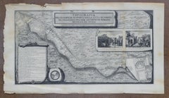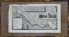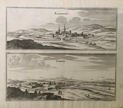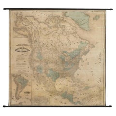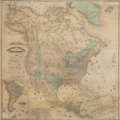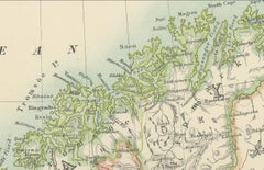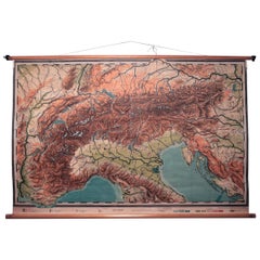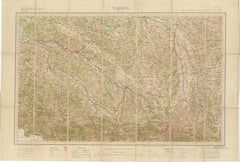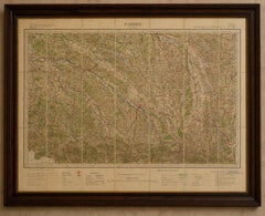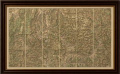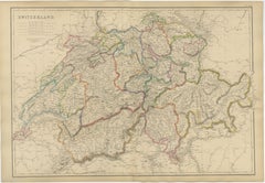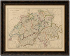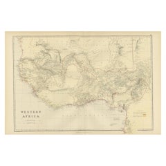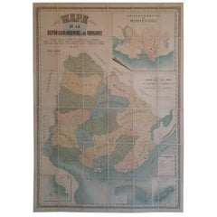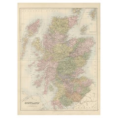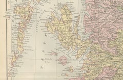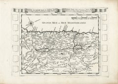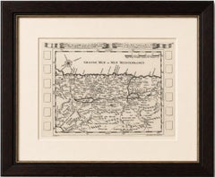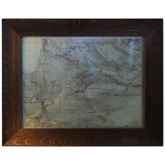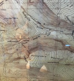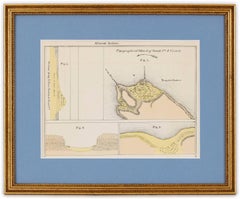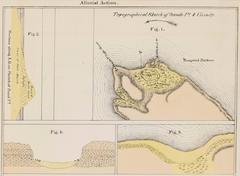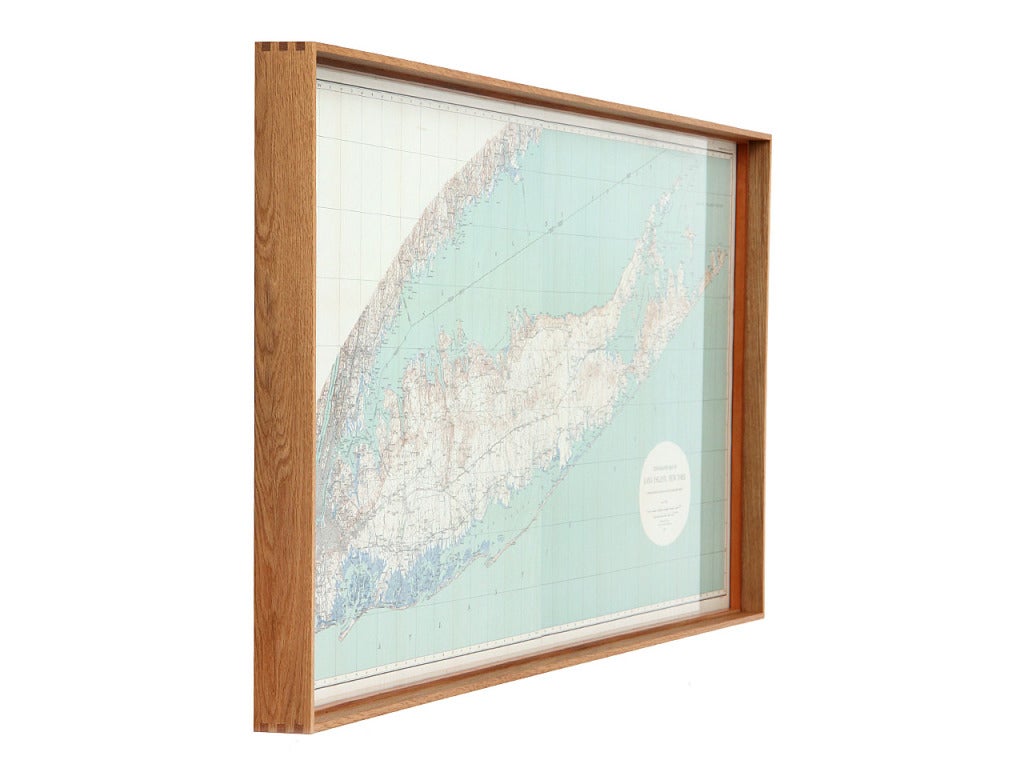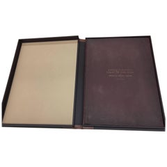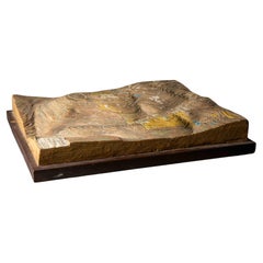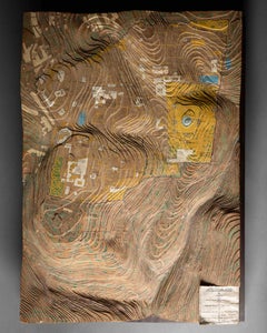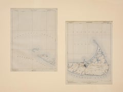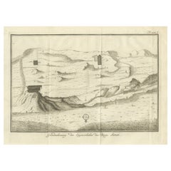
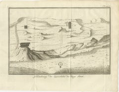
Topographic Map of Mount Sinai Summit – Antique Engraving by Pococke, 1776
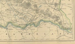
Located in Langweer, NL
Topographic Map of Mount Sinai Summit – Antique Engraving by Pococke, 1776 This antique engraving offers a rare and detailed view of the summit plateau of Mount Sinai, titled "Grond...
Category
Late 18th Century Dutch Antique Topographic Maps
Materials
Paper