Items Similar to The Lay of the Land: A 1901 Topographic Map of Oviedo, Asturias

Want more images or videos?
Request additional images or videos from the seller
1 of 6
The Lay of the Land: A 1901 Topographic Map of Oviedo, Asturias
About the Item
The province depicted on the historical map on offer, Oviedo, corresponds to the modern-day autonomous community of Asturias in northwestern Spain. Here are some points about Asturias:
1. **Geography**: Asturias is known for its rugged coastline, mountainous landscapes, and rich greenery, which is quite distinct from the drier regions of Spain. The Cantabrian Mountains, including the Picos de Europa National Park, provide stunning landscapes and are popular for hiking and other outdoor activities.
2. **Climate**: The region has a maritime climate, with mild temperatures throughout the year. It's famous for its "Green Spain" moniker due to its verdant landscapes, which result from higher rainfall than much of the rest of Spain.
3. **History**: Asturias has a rich history, often referred to as the cradle of the Spanish reconquest, or "Reconquista," against the Moors. The Battle of Covadonga, won by the Visigothic nobleman Pelayo, is cited as the beginning of this reconquest.
4. **Culture**: Asturias has a distinct cultural identity within Spain. The traditional bagpipe, or "gaita," is a symbol of Asturian music. The region has its own language, Asturian (Bable), recognized as a regional language.
5. **Economy**: Historically, Asturias was an industrial and mining powerhouse, with coal mining and steel production being major industries. While these have declined, the region has diversified into service industries and tourism.
6. **Gastronomy**: The cuisine of Asturias is renowned, particularly for its seafood, hearty stews like "fabada Asturiana," and cider, known as "sidra," which is poured in a unique way to aerate it before drinking.
7. **Capital**: The capital city, also named Oviedo, is known for its medieval old town, pre-Romanesque churches, and as a starting point for the Northern Route of the Camino de Santiago.
The province of Oviedo, now Asturias, is a region with a strong sense of identity, rich natural beauty, and historical significance.
- Dimensions:Height: 14.77 in (37.5 cm)Width: 20.08 in (51 cm)Depth: 0 in (0.02 mm)
- Materials and Techniques:
- Period:1900-1909
- Date of Manufacture:1901
- Condition:Good condition. Central vertical folding lines as issued. Aged paper with typically warm, yellowish-brown hue, especially around the edges. A light brown discoloring along the top of the fold. Check the images carefully.
- Seller Location:Langweer, NL
- Reference Number:
About the Seller
5.0
Platinum Seller
These expertly vetted sellers are 1stDibs' most experienced sellers and are rated highest by our customers.
Established in 2009
1stDibs seller since 2017
1,928 sales on 1stDibs
Typical response time: <1 hour
- ShippingRetrieving quote...Ships From: Langweer, Netherlands
- Return PolicyA return for this item may be initiated within 14 days of delivery.
More From This SellerView All
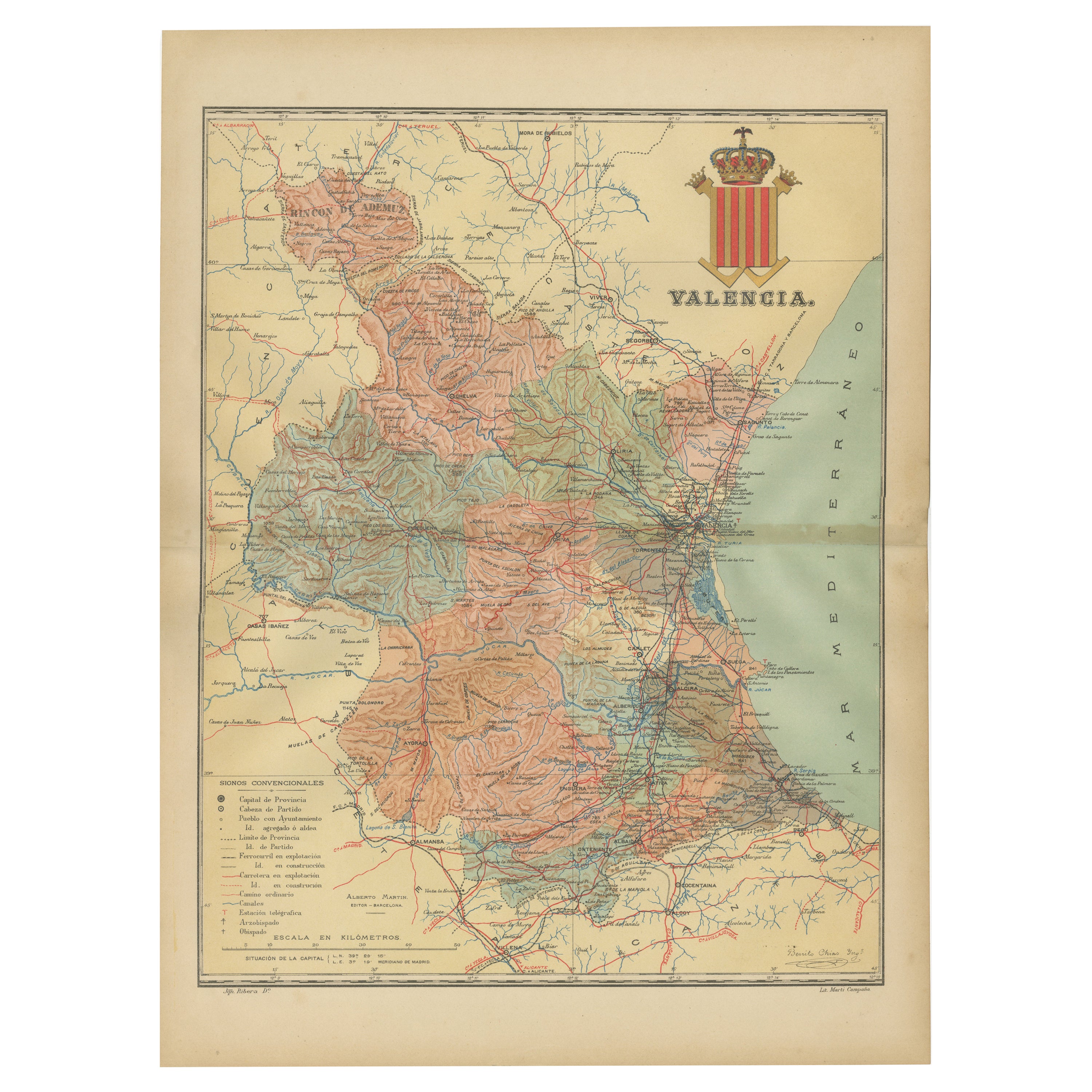
- Topographical and Infrastructure Map of the Province of Valencia, 1901Located in Langweer, NLA historical map of the province of Valencia, dated 1901. The map includes intricate details such as topographical features, with mountain ranges and river systems prominently marked...Category
Antique Early 1900s Maps
MaterialsPaper
- Antique Map of the Holy Land, c.1717Located in Langweer, NLAntique map Israel titled 'Tabula Geographica Terrae Sanctae'. Rare edition made after a map of the Holy Land by J. Bonfrerius. The map is oriented ...Category
Antique 18th Century Maps
MaterialsPaper
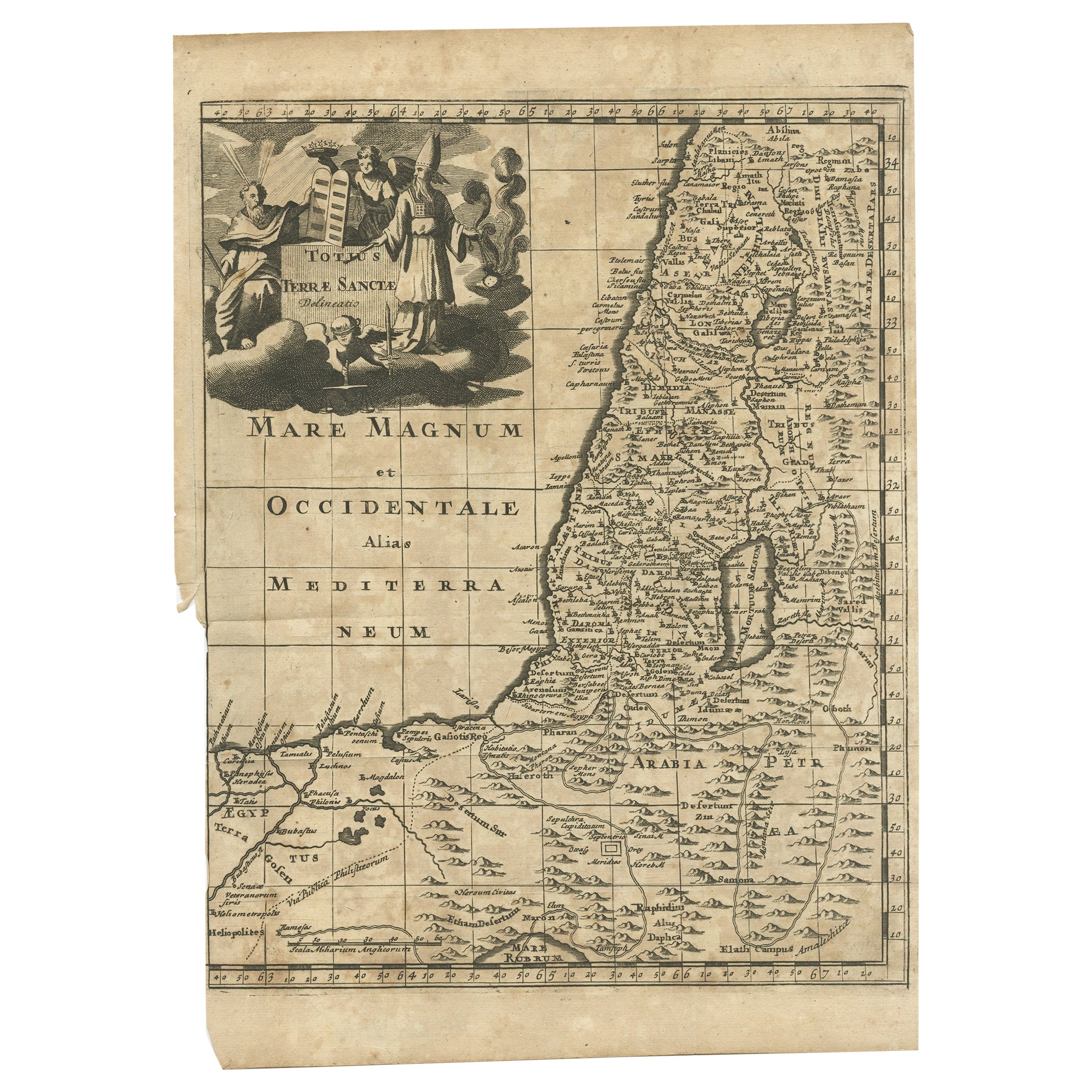
- Antique Map of the Holy Land, c.1710Located in Langweer, NLAntique map titled 'Totius Terrae Sanctae Delineatio'. Map of the Holy Land extending to Egypt and showing the route of the Children of Israel in their e...Category
Antique 18th Century Maps
MaterialsPaper
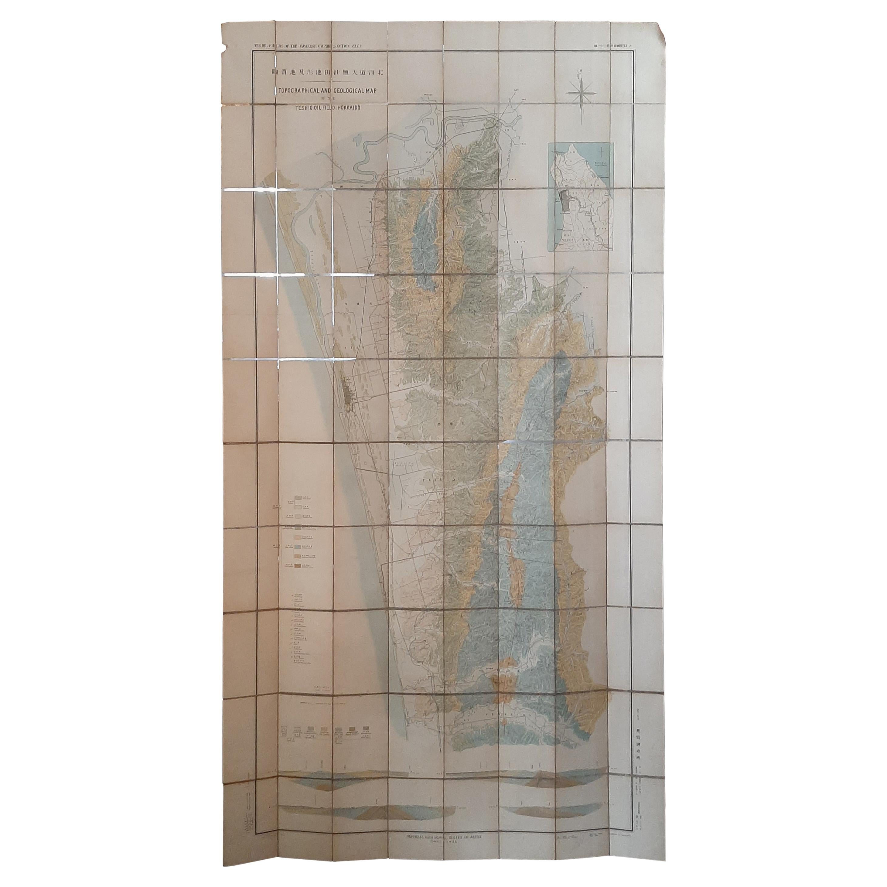
- Large Topographical and Geological Map of the Teshio Oil Field, '1936'Located in Langweer, NLTopographical and geological map of the Teshio oil field. Shows location of oil well, oil sand, natural gas, coal, Sulphur spring, anticlinal axis, prof...Category
20th Century Maps
MaterialsLinen, Paper
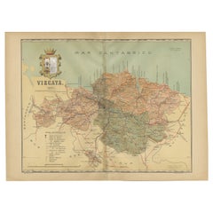
- Cartographic Heritage: The 1901 Map of the Vizcaya Province in SpainLocated in Langweer, NLThis is a historical map of the province of Vizcaya (Biscay) in Spain, dated 1901. The title on the map is "VIZCAYA. 1901." It shows the topographical details of the region with cont...Category
Antique Early 1900s Maps
MaterialsPaper
- Antique Map of the Holy Land by Keur, 1748Located in Langweer, NLAntique Map Holy Land titled 'De Gelegentheyd van t'Paradys ende t'Landt Canaan, Mitsgaders d'eerst bewoonde Landen der Patriarchen'. Includes five decorative vignettes, including No...Category
Antique 18th Century Maps
MaterialsPaper


You May Also Like
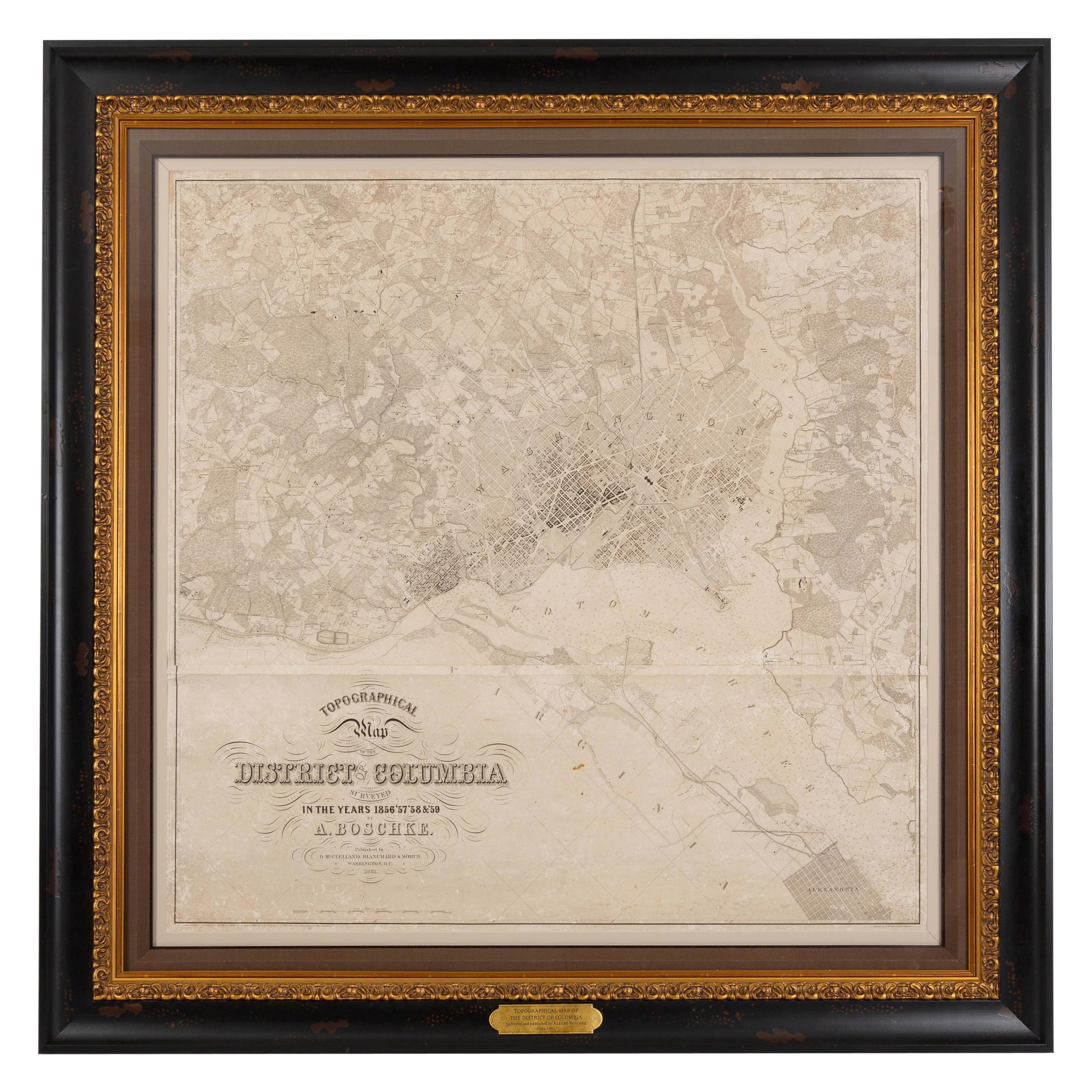
- 1861 Topographical Map of the District of Columbia, by Boschke, Antique MapLocated in Colorado Springs, COPresented is an original map of Albert Boschke's extremely sought-after "Topographical Map of the District of Columbia Surveyed in the Years 1856 ...Category
Antique 1860s American Historical Memorabilia
MaterialsPaper
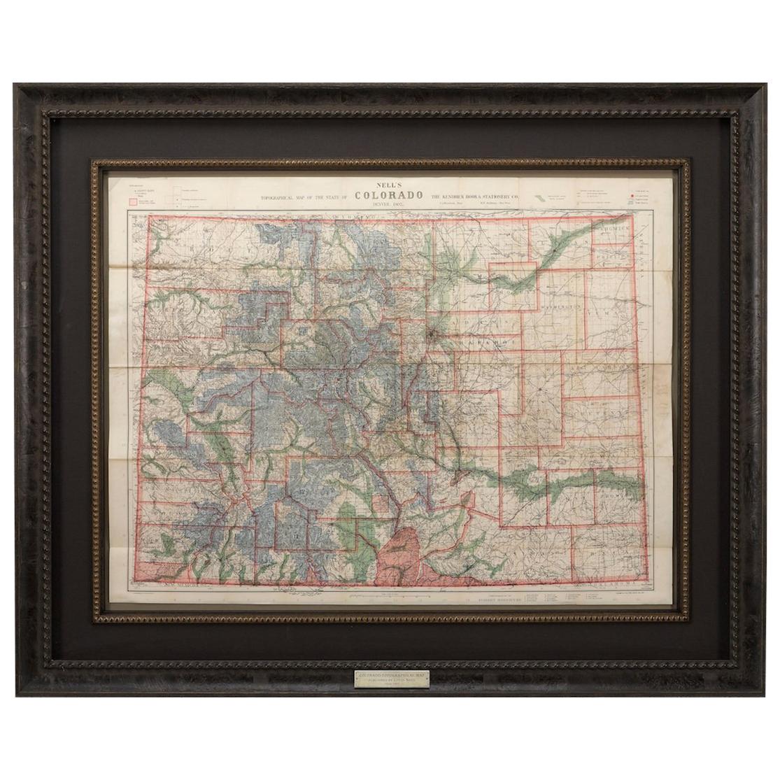
- 1907 Map of Colorado, Antique Topographical Map, by Louis NellLocated in Colorado Springs, COThis highly detailed pocket map is a topographical map of the state of Colorado by Louis Nell from 1907. The map "has been complied from all availabl...Category
Antique Early 1900s American Maps
MaterialsPaper
- The Holy Land at the Time of Jesus: A 17th Century Dutch Map by VisscherBy Nicolaes Visscher IILocated in Alamo, CAThis detailed Dutch map entitled "Het Beloofe de Landt Canaan door wandelt van onsen Salichmaecker Iesu Christo, nessens syne Apostelen" by Nicolaes Visscher was published in Amsterd...Category
Antique Mid-17th Century Dutch Maps
MaterialsPaper
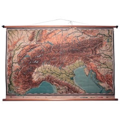
- Vintage Swedish Topographic School Map of European Alps, Made in Sweden 1922Located in Los Angeles, CAVintage Swedish Topographic School map of European Alps, Made in Sweden 1922 This vintage Swedish school map is so unique and a great example of why these are so collectible. W...Category
Vintage 1920s Swedish Maps
MaterialsLinen, Wood, Paper
- Antique 1901 National Publishing Company's Road Map of New Jersey GeologicalLocated in Dayton, OHThe National Publishing Company's road map of New Jersey, showing all county and township divisions, cities villages and post-offices, railroads, ste...Category
Antique Early 1900s Victorian Prints
MaterialsPaper
- 1901-03 The Novels of Jane AustenLocated in Bath, GBA smart set of the major novels of beloved author, Jane Austen, this set with the lively illustrations of Hugh Thomson. A smart set containing the major novels of Austen, complete w...Category
Antique Early 1900s British Books
MaterialsPaper


Recently Viewed
View AllMore Ways To Browse
Map Of Old Armenia
Teak Wood Sphere
Nova Guinea Maps
Antique Map Of Illinois
Petite Point Hand Bag
Antique Map Of Southeastern Us
Antique Map Alabama
Antique Map Of Sydney
Malay Archipelago Map
Gambia Antique Map
Uruguay Antique Map
Guyana Antique Map
Ruscelli Map
Masque Theatre No
Nova Scotia Map
Antique Map Tuscany
Berkshire Antique Map
Cornwall Map