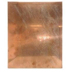
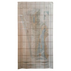
Copper Topographical Map Printing Plate of Winchester, VA
View Similar Items
1 of 6
Copper Topographical Map Printing Plate of Winchester, VA
About the Item
- Dimensions:Height: 19.5 in (49.53 cm)Width: 16 in (40.64 cm)Depth: 0.07 in (1.78 mm)
- Style:Other (Of the Period)
- Materials and Techniques:
- Place of Origin:
- Period:
- Date of Manufacture:circa 1890s
- Condition:Wear consistent with age and use.
- Seller Location:Cookeville, TN
- Reference Number:Seller: JB1335B1stDibs: LU234437921733
You May Also Like
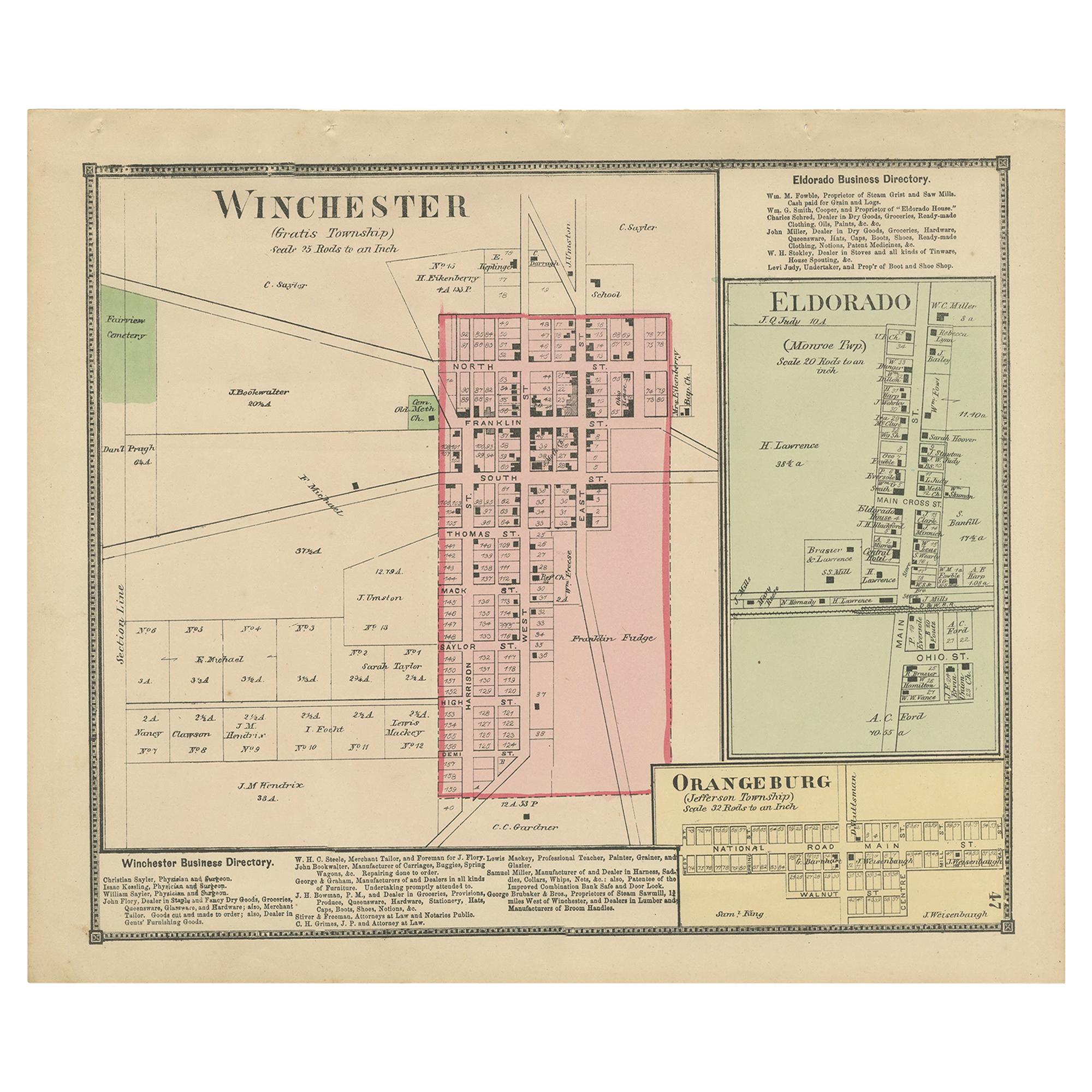
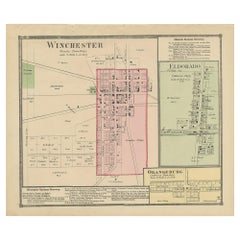
- Antique Map of Winchester, Eldorado & Orangeburg, 1871Located in Langweer, NLAntique map titled 'Winchester, Eldorado, Orangeburg'. Original antique map of villages and communities of Ohio. This map originates from 'Atlas of Preble County Ohio' by C.O. Titus....Category
Antique Late 19th Century Maps
MaterialsPaper
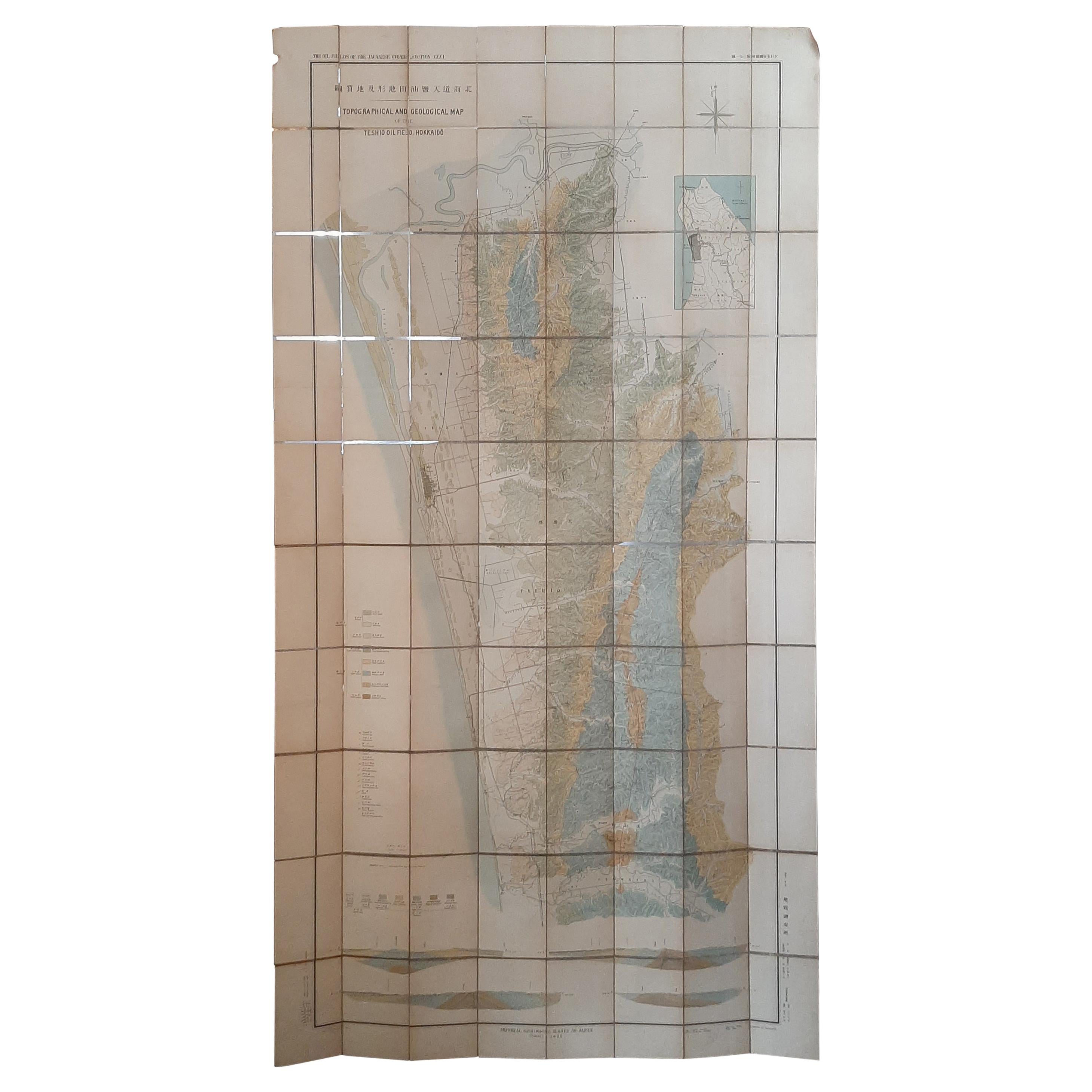
- Large Topographical and Geological Map of the Teshio Oil Field, '1936'Located in Langweer, NLTopographical and geological map of the Teshio oil field. Shows location of oil well, oil sand, natural gas, coal, Sulphur spring, anticlinal axis, prof...Category
20th Century Maps
MaterialsLinen, Paper
 $1,055 Sale Price20% Off
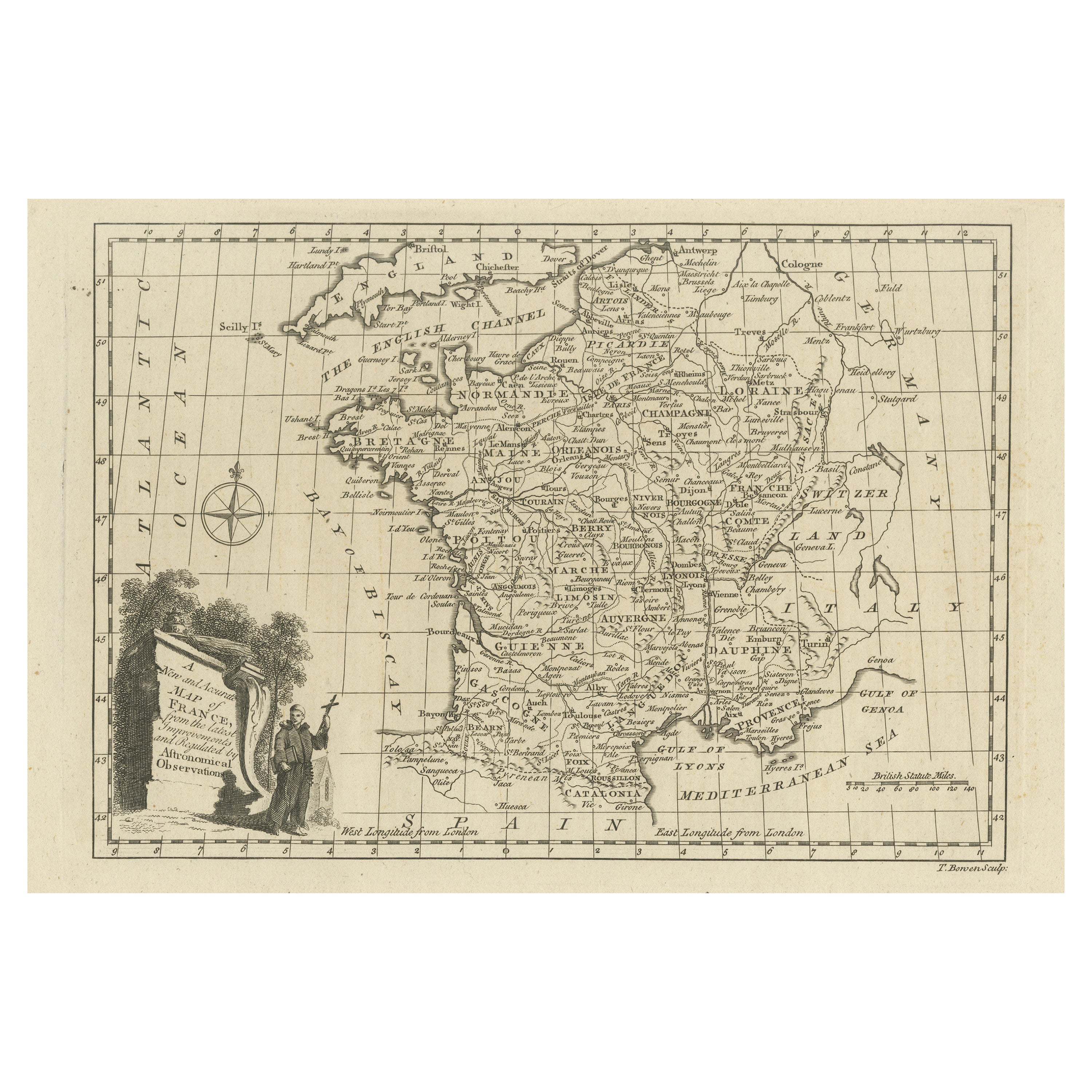
 - Original Copper Engraved Map of FranceLocated in Langweer, NLAntique map titled 'New and Accurate Map of France from the latest improvements'. Original copper engraved map of France. Engraved by T. Bowen, published circa 1771.Category
Antique Late 18th Century Maps
MaterialsPaper
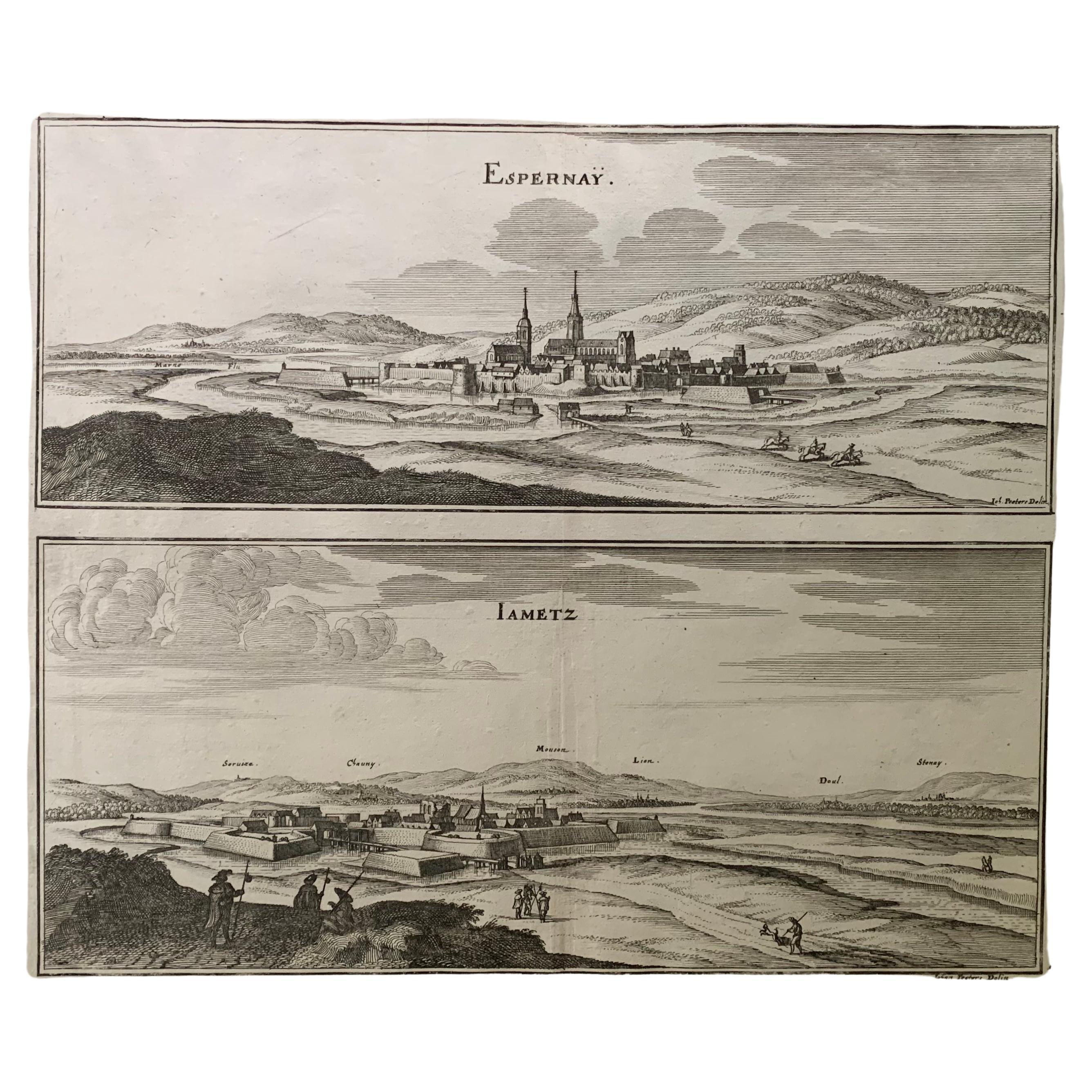
- 17th Century Topographical Map, French Champagne Region, Epernay, Iohan PeetersLocated in New York, NYFine topographical 17th century map by Iohan Peeters of the towns of Epernay and Lametz in the Champagne Region of North Eastern France. Fabulous period engraving for a Wine Cellar,...Category
Antique 17th Century Dutch Maps
MaterialsPaper
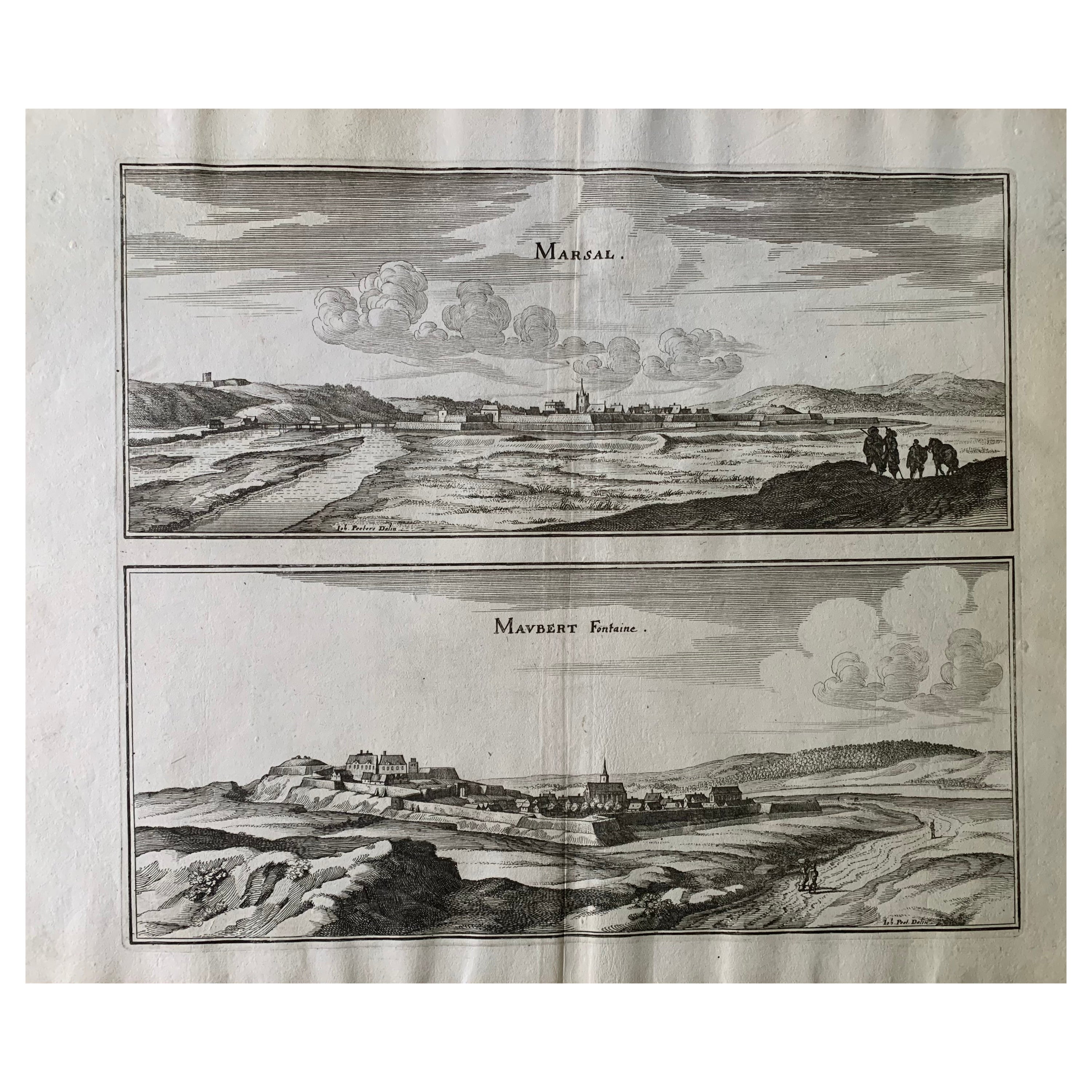
- 17th Century Topographical Map, Champagne-Ardenne, Marsal, Maubert Iohan PeetersLocated in New York, NYFine topographical 17th century map by Iohan Peeters of Marsal and Maubert Fontaine in the Champagne-Ardennes Region of North Eastern France. Fabulous period engraving for a Wine Ce...Category
Antique 17th Century Dutch Maps
MaterialsPaper
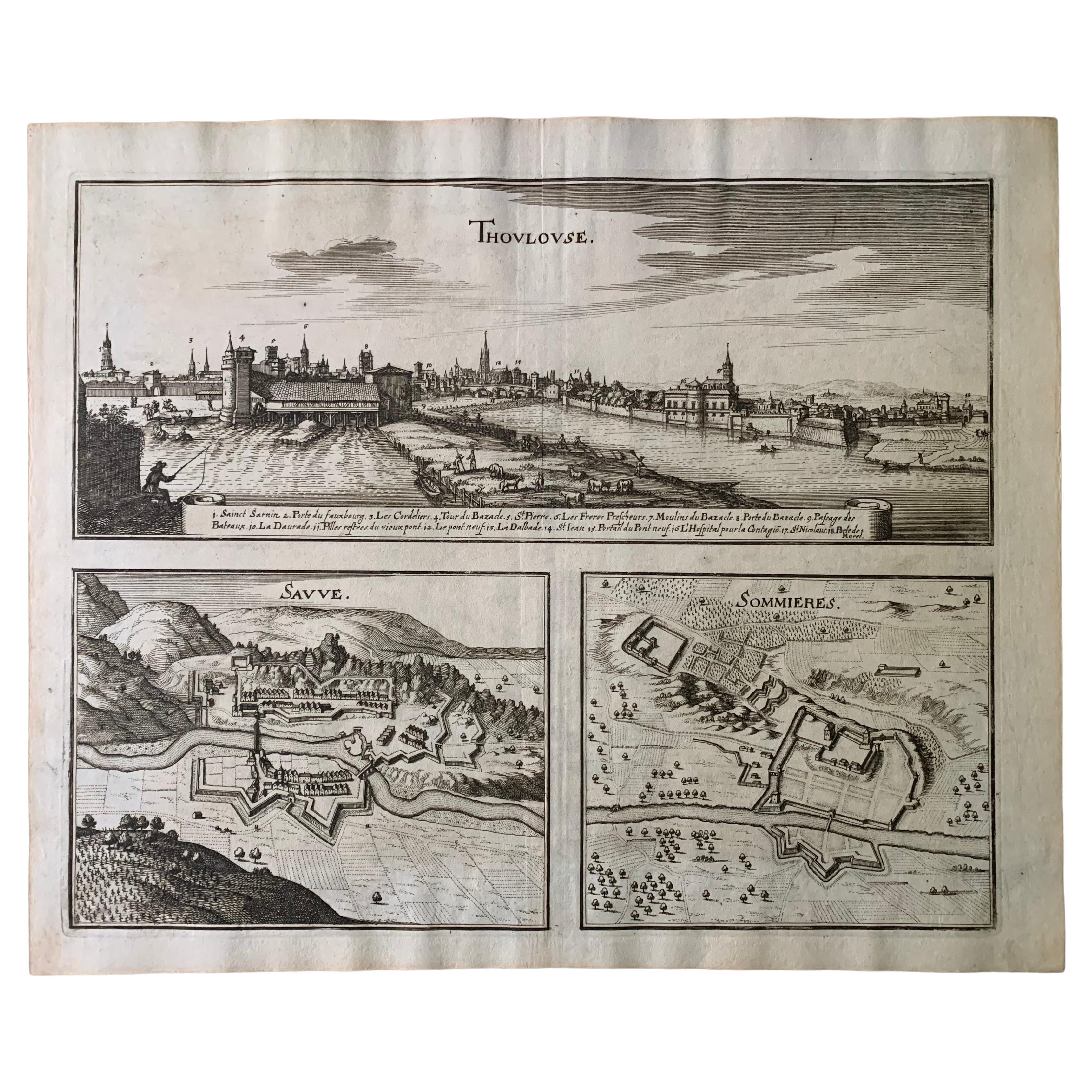
- 17th Century Toulouse, Savve, Sommieres Topographical Map by Iohan PeetersLocated in New York, NYFine topographical 17th century map of Toulouse, Savve and Sommieres by Iohan Peeters Beautiful engraving of the capital of France's Occitanie Region, Toulouse, called La Ville Rose- the Pink City, for the terracotta bricks used in its many buildings, giving the city a distinct apricot-rose hue. An important cultural and educational center, the city's residents included Nobel Prize winners and world renown artists- Henri de Toulouse-Lautrec, Henri Martin, Jean-Auguste-Dominique Ingres, Antonin Mercie, Alexandre Falguiere and more recently Cyril Kongo...Category
Antique 17th Century Dutch Maps
MaterialsPaper


Recently Viewed
View AllMore Ways To Browse
Antique Furniture Va
Virginia Maps
Virginia Map
Map Of Virginia
Copper Printing Plate
Topographical Plate
Antique Map Virginia
Antique Maps Virginia
Antique Virginia Map
Antique Virginia Maps
Virginia Antique Map
Antique Maps Of Virginia
Antique Map Of Virginia
Antique Furniture Winchester
British Royal Coat Of Arms
Vintage Commercial Display Furniture
Antique Farm Collectables
Action Office 1