Large Antique Maps

to
309
811
203
512
334
237
208
168
168
127
116
107
94
84
66
56
56
34
34
31
30
28
27
26
25
21
14
11
10
9
8
7
6
6
6
6
5
4
4
4
4
3
3
3
3
2
2
2
2
74
14
11
11
8
Sort By
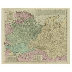
1814 Map of "Russian Empire" Ric.r032

1814 Map of "Russian Empire" Ric.r032

Located in Norton, MA

1814 Map of "Russian Empire" Ric.r032 Russian Empire. Description: This is an 1814 John

Category

19th Century Unknown Large Antique Maps

Materials

Paper

Antique County Map of Leicestershire, England, 1804

Antique County Map of Leicestershire, England, 1804

Located in Langweer, NL

published as an atlas, Smith's New English Atlas. The maps are large and contain information required by

Category

Early 1800s Large Antique Maps

Materials

Paper

Antique Map of Africa by Homann Heirs, '1804'

Antique Map of Africa by Homann Heirs, '1804'

Located in Langweer, NL

Antique map titled 'Charte von Africa'. Large, original antique map of Africa by Franz Ludwig

Category

Early 19th Century Large Antique Maps

Materials

Paper

Antique Map of Madagascar by Mariette 'c.1670'

Antique Map of Madagascar by Mariette 'c.1670'

Located in Langweer, NL

(..)'. Original large-scale antique map of Madagascar, Africa. Published by Pierre Mariette, circa 1670.

Category

Mid-17th Century Large Antique Maps

Materials

Paper

Antique Map of Australia by H. Kiepert, 1875

Antique Map of Australia by H. Kiepert, 1875

Located in Langweer, NL

Antique map titled 'Australien'. Large and detailed map of Australia and New Zealand. With color

Category

Late 19th Century Large Antique Maps

Materials

Paper

Antique Map of Southern Sulawesi by Stemfoort, 1885

Antique Map of Southern Sulawesi by Stemfoort, 1885

Located in Langweer, NL

part of Sulawesi. Includes a large inset map of the Makassar area, centered on Fort Rotterdam, with a

Category

19th Century Dutch Large Antique Maps

Materials

Paper

Antique Decorative County Map of Huntingdonshire, England, 1804

Antique Decorative County Map of Huntingdonshire, England, 1804

Located in Langweer, NL

atlas, Smith's New English Atlas. The maps are large and contain information required by a traveler

Category

Early 1800s Large Antique Maps

Materials

Paper

Antique Decorative County Map of Lincolnshire, England, 1804

Antique Decorative County Map of Lincolnshire, England, 1804

Located in Langweer, NL

New English Atlas. The maps are large and contain information required by a traveler of the time

Category

Early 1800s Large Antique Maps

Materials

Paper

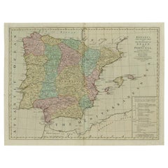
Antique Map of Portugal by Placide, c.1700

Antique Map of Portugal by Placide, c.1700

Located in Langweer, NL

Antique map titled 'Le Portugal dedié au Roy (..)'. Large and detailed map of Portugal. With a

Category

18th Century French Large Antique Maps

Materials

Paper

1861 "The Empire State" Wall Map by Ensign, Bridgman & Fanning

1861 "The Empire State" Wall Map by Ensign, Bridgman & Fanning

Located in Colorado Springs, CO

This large and decorative wall map of New York, titled "The Empire State," was published by Ensign

Category

1860s American Victorian Large Antique Maps

Materials

Wood, Paper

Antique Map of Northern Asia by Arrowsmith, 1834

Antique Map of Northern Asia by Arrowsmith, 1834

Located in Langweer, NL

Antique map titled 'Northern Asia, from the Himalaya Mountains to the Arctic Ocean'. Large and

Category

19th Century Large Antique Maps

Materials

Paper

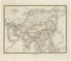
French Map of Asia by Cortambert – Russia, China & India, 1864

French Map of Asia by Cortambert – Russia, China & India, 1864

Located in Langweer, NL

Eugène Cortambert. This large-format map presents the vast Asian continent stretching from the Ottoman

Category

Mid-19th Century French Large Antique Maps

Materials

Paper

Antique Levasseur Maps Europe & Africa, Decorative Atlas Pair c.1845

Antique Levasseur Maps Europe & Africa, Decorative Atlas Pair c.1845

Located in Langweer, NL

atlas, historical geography print, large wall map pair, decorative antique maps, collectible cartography

Category

Mid-19th Century French Large Antique Maps

Materials

Paper

Antique London Atlas Maps, Elegant Four Sheet Wall Display, 1885

Antique London Atlas Maps, Elegant Four Sheet Wall Display, 1885

Located in Langweer, NL

, large antique map set, museum style maps, study library decor, antique geography print, Thames map

Category

Late 19th Century British Large Antique Maps

Materials

Paper

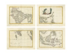
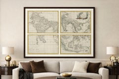
Antique Map Set East Indies – India, Indochina, Indonesia, Zatta 1784

Antique Map Set East Indies – India, Indochina, Indonesia, Zatta 1784

Located in Langweer, NL

antique maps forms the large composite map “Indie Orientali,” depicting South and Southeast Asia during

Category

Late 18th Century Large Antique Maps

Materials

Paper

Channel Islands Map, Jersey Guernsey Alderney Sark, Bacon London, 1885

Channel Islands Map, Jersey Guernsey Alderney Sark, Bacon London, 1885

Located in Langweer, NL

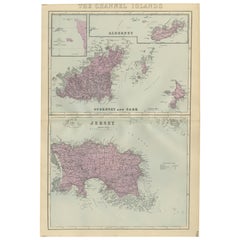
part of his influential 'New Large Scale Ordnance Atlas of the British Isles'. The map presents the

Category

Late 19th Century British Large Antique Maps

Materials

Paper

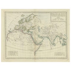
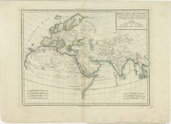
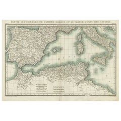
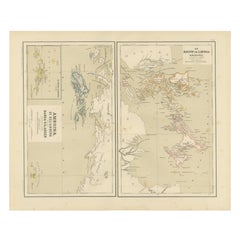
Ancient World Map: Europe, Africa & Asia - 1802 Tardieu Atlas

Ancient World Map: Europe, Africa & Asia - 1802 Tardieu Atlas

Located in Langweer, NL

the geographical perspective of historical civilizations. The map was part of a larger atlas that

Category

Early 1800s Large Antique Maps

Materials

Paper

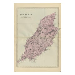
Isle of Man Map, Ordnance Survey Style, Bacon London, 1885

Isle of Man Map, Ordnance Survey Style, Bacon London, 1885

Located in Langweer, NL

Victorian map of the Isle of Man was published in London in 1885 as part of the New Large Scale Ordnance

Category

Late 19th Century British Large Antique Maps

Materials

Paper

Isle of Wight Map, Ordnance Survey Style, Bacon London, 1885

Isle of Wight Map, Ordnance Survey Style, Bacon London, 1885

Located in Langweer, NL

Isle of Wight Map, Ordnance Survey Style, Bacon London 1885 Description This finely engraved large

Category

Late 19th Century British Large Antique Maps

Materials

Paper

Lakes of Killarney Map, County Kerry Ireland, Bacon London, 1885

Lakes of Killarney Map, County Kerry Ireland, Bacon London, 1885

Located in Langweer, NL

document of Victorian Ireland. Maps from Bacon’s large-scale Ordnance-style atlases are increasingly

Category

Late 19th Century British Large Antique Maps

Materials

Paper

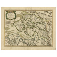
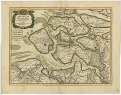
Antique Map of Zeeland, The Netherlands, by Jaillot, 1693

Antique Map of Zeeland, The Netherlands, by Jaillot, 1693

Located in Langweer, NL

Antique map titled 'Le Comte de Zeelande (..).' Detailed map of the province of Zeeland, The

Category

17th Century Large Antique Maps

Materials

Paper

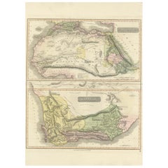
North & South Africa – Elegant Double Map, Hand-Colored, c.1825

North & South Africa – Elegant Double Map, Hand-Colored, c.1825

Located in Langweer, NL

gives the piece a refined, gallery-ready appearance. Particularly effective as a large statement map

Category

1820s British Large Antique Maps

Materials

Paper

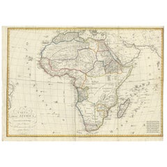
Antique Map of Africa by Bordiga Fratelli 'circa 1818'

Antique Map of Africa by Bordiga Fratelli 'circa 1818'

Located in Langweer, NL

Antique map titled 'Carta dell Africa'. Large and quite scarce Italian map of Africa, reflecting

Category

Early 19th Century Large Antique Maps

Materials

Paper

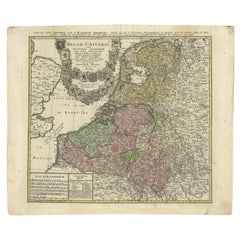
Antique Map of the Low Countries by Brué, 1822

Antique Map of the Low Countries by Brué, 1822

Located in Langweer, NL

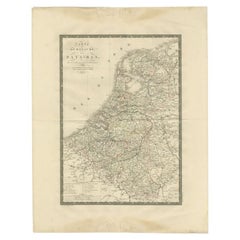
Antique map titled 'Carte du Royaume des Pays-Bas'. Large format map of the Low Countries. This map

Category

19th Century Large Antique Maps

Materials

Paper

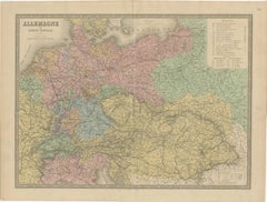
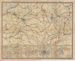
Napoleonic Wars: Germany Allied Military Campaign Map by Ausfeld, 1814

Napoleonic Wars: Germany Allied Military Campaign Map by Ausfeld, 1814

Located in Langweer, NL

. The map focuses on large parts of Prussia, Saxony, Brandenburg, and neighboring regions, clearly

Category

Early 19th Century German Large Antique Maps

Materials

Paper

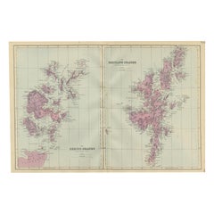
Orkney and Shetland Islands Map, Ordnance Survey, Bacon London 1885

Orkney and Shetland Islands Map, Ordnance Survey, Bacon London 1885

Located in Langweer, NL

these islands. Maps from Bacon’s large-scale Ordnance-style atlases are increasingly valued for their

Category

Late 19th Century British Large Antique Maps

Materials

Paper

Antique Map of Denmark by F. de Wit, 1680

Antique Map of Denmark by F. de Wit, 1680

Located in Langweer, NL

Antique map titled 'Dania Regnum'. Large, attractive map of Denmark, Sleschwig-Holstein and

Category

Late 17th Century Large Antique Maps

Materials

Paper

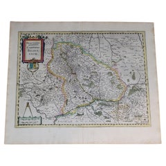
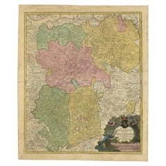
1633 Map Entitled "Beauvaisis Comitatus Belova Cium, Ric.0002

1633 Map Entitled "Beauvaisis Comitatus Belova Cium, Ric.0002

Located in Norton, MA

1633 map entitled "Beauvaisis Comitatus Belova Cium," Hand Colored Ric.0002 Description

Category

17th Century Dutch Large Antique Maps

Materials

Paper

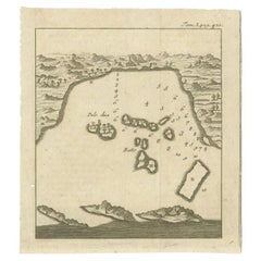
Antique Map of the Bay of Bantam, c.1720

Antique Map of the Bay of Bantam, c.1720

Located in Langweer, NL

'Histoire Generale des Voyages'. A larger version of this map originates from Renneville's 'Recueil des

Category

18th Century Large Antique Maps

Materials

Paper

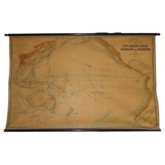
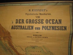
Huge wall lithograph map 1886: Australia, Polynesia, West Coast America, Japan

Huge wall lithograph map 1886: Australia, Polynesia, West Coast America, Japan

By Heinrich Kiepert

Located in Purkersdorf, AT

Institute in Berlin. Published by Dietrich Reimer, Berlin. Very large wall map "The Great Ocean" (including

Category

1880s German British Colonial Large Antique Maps

Materials

Linen, Hardwood, Paper

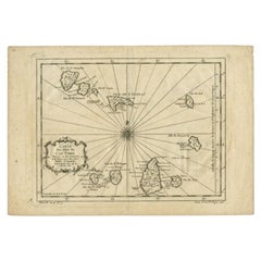
Original Antique Map of the Cape Verde Islands, 1746

Original Antique Map of the Cape Verde Islands, 1746

Located in Langweer, NL

large number of maps of particular interest to the Ministere de la Marine. Artist: Jacques Nicolas

Category

18th Century Large Antique Maps

Materials

Paper

Antique Map of the Baltic States by Rücker, 1846

Antique Map of the Baltic States by Rücker, 1846

Located in Langweer, NL

Antique map titled 'General Karte Russischen Ost See-Provinzen Liv-Ehst und Kurland'. Large folding

Category

19th Century Large Antique Maps

Materials

Paper

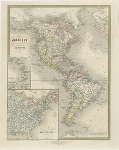
French Map of the Americas by Cortambert – North & South America 1864

French Map of the Americas by Cortambert – North & South America 1864

Located in Langweer, NL

,” this large-format educational and decorative map presents both North and South America in fine engraved

Category

Mid-19th Century French Large Antique Maps

Materials

Paper

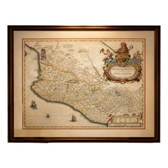
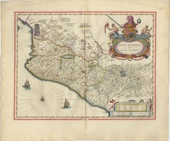
Antique Mexico Map Blaeu c.1642 – New Spain, Early Colonial Detail

Antique Mexico Map Blaeu c.1642 – New Spain, Early Colonial Detail

Located in Langweer, NL

Antique Mexico Map Blaeu c.1642 – New Spain, Early Colonial Detail A highly important and richly

Category

Mid-17th Century Dutch Large Antique Maps

Materials

Paper

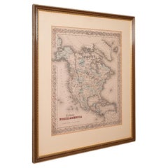
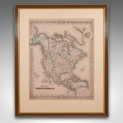
Antique North America Map, USA, Canada, Mexico, Cartography, Colton, Victorian

Antique North America Map, USA, Canada, Mexico, Cartography, Colton, Victorian

Located in Hele, Devon, GB

by JH Colton, dating to the Victorian period and later, circa 1860. Fascinating, large framed map of

Category

Mid-19th Century American Victorian Large Antique Maps

Materials

Paper

Ottoman Empire in Europe – Antique Map by Reilly, Vienna, 1796

Ottoman Empire in Europe – Antique Map by Reilly, Vienna, 1796

Located in Langweer, NL

Map of the Ottoman Empire in Europe – Reilly, Vienna circa 1794-1796 This large original antique

Category

Late 18th Century Austrian Large Antique Maps

Materials

Paper

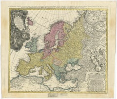
17th-Century Coronelli Map of Europe, Engraved Detail, Venice 1692

17th-Century Coronelli Map of Europe, Engraved Detail, Venice 1692

Located in Langweer, NL

Large 17th-Century Coronelli Map of Europe with Mythical Islands and Rich Detail This

Category

1690s Italian Large Antique Maps

Materials

Paper

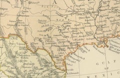
Antique Map of North America by Blackie & Son, Colored, 1882

Antique Map of North America by Blackie & Son, Colored, 1882

Located in Langweer, NL

American and Canadian cartography and to interior designers seeking a large, historically grounded wall map

Category

1880s British Large Antique Maps

Materials

Paper

World Map in Two Hemispheres: Eastern & Western - 1802 Tardieu Atlas

World Map in Two Hemispheres: Eastern & Western - 1802 Tardieu Atlas

Located in Langweer, NL

Antique Map with Title: "Mappemonde en Deux Hémisphères" Publication Details: - **Atlas Title

Category

Early 1800s Large Antique Maps

Materials

Paper

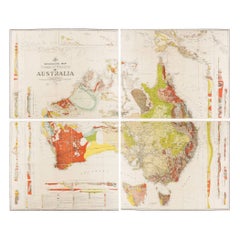
Impressive Geological Map of Australia – Rare Oversized Wall Display, 1931–32

Impressive Geological Map of Australia – Rare Oversized Wall Display, 1931–32

Located in Langweer, NL

Geological Map of the Commonwealth of Australia by Sir Edgeworth David, 1931–32 Large and highly

Category

Early 20th Century Australian Large Antique Maps

Materials

Linen, Paper

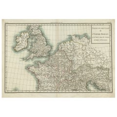
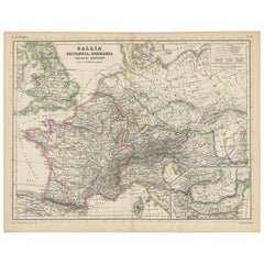
Western Roman Empire Map: British Isles & Gaul - 1802 Tardieu Atlas

Western Roman Empire Map: British Isles & Gaul - 1802 Tardieu Atlas

Located in Langweer, NL

early 19th century. It is part of a larger atlas that includes 60 maps, providing a comprehensive view

Category

Early 1800s Large Antique Maps

Materials

Paper

Antique Map of Vlaams-Brabant by Homann Heirs, c.1720

Antique Map of Vlaams-Brabant by Homann Heirs, c.1720

By Homann Heirs

Located in Langweer, NL

atlases the firm published a very large number of individual maps. The Homanns produced a Neuer Atlas in

Category

18th Century German Large Antique Maps

Materials

Paper

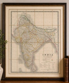
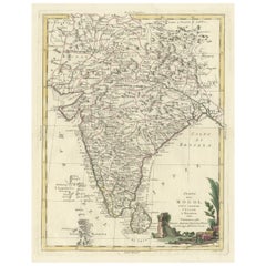
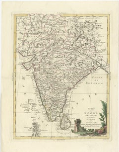
Antique Map of India and Ceylon, along with the Maldives

Antique Map of India and Ceylon, along with the Maldives

Located in Langweer, NL

Ceylon, along with the Maldives. Includes a large decorative title cartouche. The map was issued in

Category

Late 18th Century Large Antique Maps

Materials

Paper

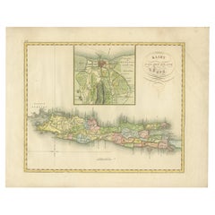
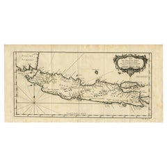
Antique Map of Java and Batavia of nowadays Indonesia, '1818'

Antique Map of Java and Batavia of nowadays Indonesia, '1818'

Located in Langweer, NL

of Java with a large inset map of Batavia. One of 12 maps from 'Atlas van Overzeesche bezittingen

Category

Early 19th Century Large Antique Maps

Materials

Paper

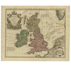
Antique Map of the British Isles by Covens & Mortier, 1730

Antique Map of the British Isles by Covens & Mortier, 1730

By Covens & Mortier

Located in Langweer, NL

L'Isle map. The map features a large cartouche in the upper left comprised of numerous sea-related

Category

Mid-18th Century Large Antique Maps

Materials

Paper

Sanson & Schenk Biblical Map of the Twelve Tribes of Israel, circa 1700

Sanson & Schenk Biblical Map of the Twelve Tribes of Israel, circa 1700

Located in Langweer, NL

objects for scholars, clergy, and collectors. Today these large biblical maps remain highly sought after

Category

Early 18th Century British Large Antique Maps

Materials

Paper

  • 1
  • ...
Get Updated with New Arrivals
Save "Large Antique Maps", and we’ll notify you when there are new listings in this category.

Large Antique Maps For Sale on 1stDibs

There is a range of large antique maps for sale on 1stDibs. Frequently made of paper, wood and fabric, all large antique maps available were constructed with great care. Large antique maps have been made for many years, and versions that date back to the 18th Century alongside those produced as recently as the 20th Century. Large antique maps made by Victorian designers — as well as those associated with Georgian — are very popular at 1stDibs. Large antique maps have been a part of the life’s work for many furniture makers, but those produced by Rand McNally & Co., Nicolas Sanson and Frederick de Wit are consistently popular.
Finding the Right Collectibles-curiosities for You

Antique and vintage collectibles and curiosities can bring whimsy and wonder to any interior. 

Decorating with old scientific instruments, historical memorabilia and vintage musical instruments, as well as other authentic collectibles and curiosities that can be found on 1stDibs, presents an opportunity to create a unique, natural history museum-like atmosphere in your home that can provoke conversation as often as it pays tribute to how far we’ve come in understanding our world. 

And bringing collectibles and curiosities into your space is actually on trend — Wunderkammern, or curiosity cabinets, were all the rage in Europe during the 1500s and continued to have adherents there and in the U.S. in the following centuries. Today, however, they’re experiencing a real surge in popularity and influencing how many interior designers are furnishing and decorating homes — combining contemporary with antique, scientific with tribal, earthly with extraterrestrial, Les Lalanne tables with Flemish tapestries.
The original Wunderkammern were entire rooms filled with objects demonstrating their owners’ worldly knowledge: A proper one included artificiala or preciosa (objets d’art); naturalia (such as skeletons, shells, minerals); exotica (taxidermy or dried plants); and scientifica (scientific instruments), frequently alongside religious relics and ancient artifacts.
Pay tribute to a history of rich and diverse musical traditions that have taken shape all over the world by decorating your home with a collection of antique and vintage musical instruments — with a little help from strong hanging wire or some wall hooks, vintage brass instruments such as a gong, French horn or trumpet can help elevate a home office or complement the efforts you’ve made to ensure a welcoming vibe in your home’s entryway. Bells or antique wind instruments can add provocative metallic contrasts to dark woods as tabletop decorative objects.  
Create an intriguing focal point with Georgian scientific instruments, such as stick barometers with mahogany cases or lacquered brass telescopes. These items stem from an era named for the monarchies of the four King Georges, who ruled England in succession starting in 1714 (plus King William’s reign, which lasted until 1837). Just as there was beautiful jewelry produced during the period that today is coveted by collectors, there is much to be found in the collectibles and curiosities realm too.

Wanderlust, nostalgia and a shared love of good design are contributing factors to certain trends in decorating — just as vintage trunks and luggage have reappeared as furniture or home accents in a bedroom or foyer, decorating with globes, maps or nautical objects is similarly rooted in the allure of travel and a penchant for the stylish finishing touch that collectibles bring to our homes.

Find a wide range of antique and vintage collectibles and curiosities on 1stDibs.